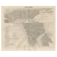
Antique Map of New York City by Balbi '1847'
View Similar Items


Want more images or videos?
Request additional images or videos from the seller
1 of 5
Antique Map of New York City by Balbi '1847'
About the Item
- Dimensions:Height: 9.06 in (23 cm)Width: 11.23 in (28.5 cm)Depth: 0.02 in (0.5 mm)
- Materials and Techniques:
- Period:
- Date of Manufacture:1847
- Condition:General age-related toning, original folding line. Minor wear, blank verso. Please study image carefully.
- Seller Location:Langweer, NL
- Reference Number:Seller: BG-12783-101stDibs: LU3054324648822
About the Seller
5.0
Platinum Seller
These expertly vetted sellers are 1stDibs' most experienced sellers and are rated highest by our customers.
Established in 2009
1stDibs seller since 2017
1,948 sales on 1stDibs
More From This SellerView All
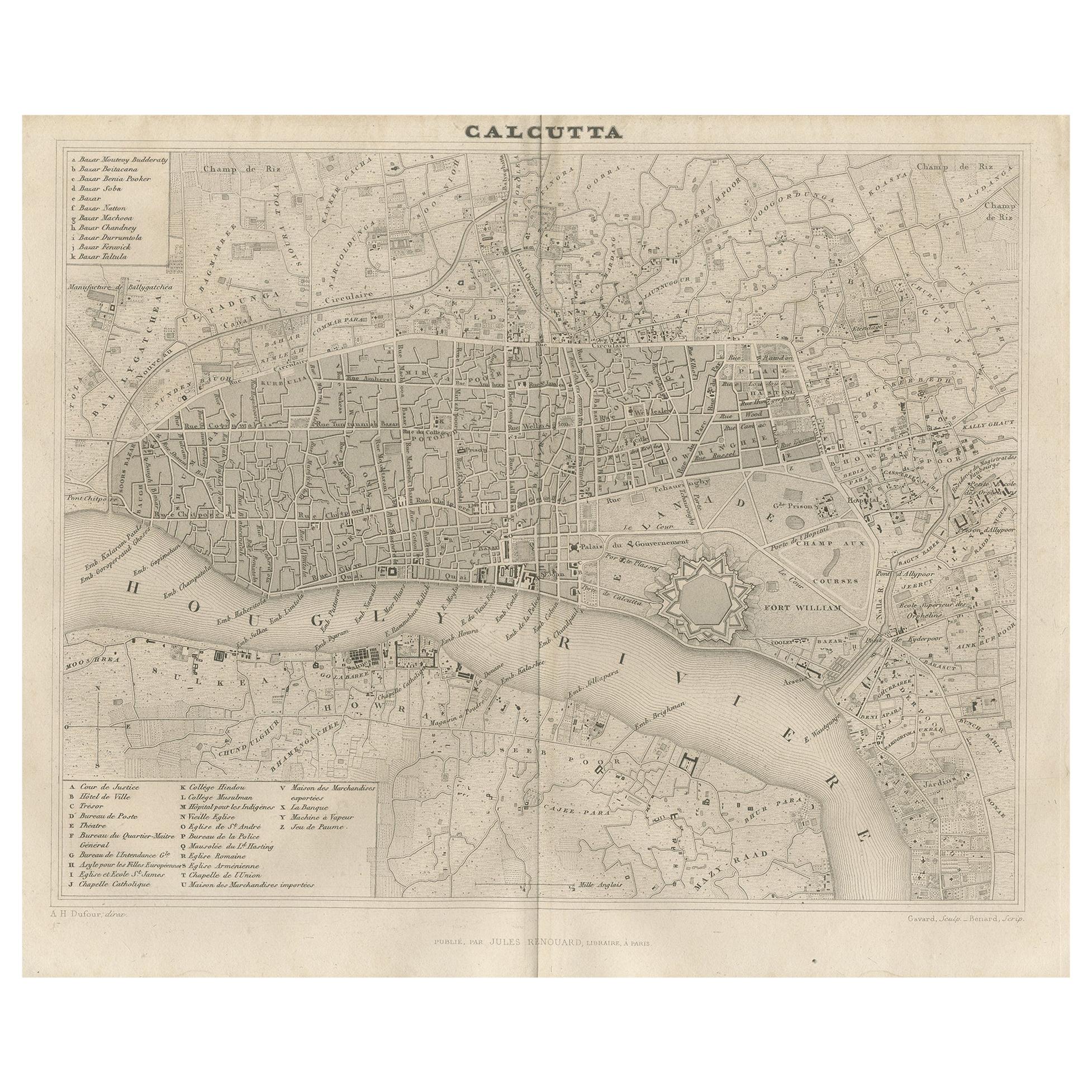
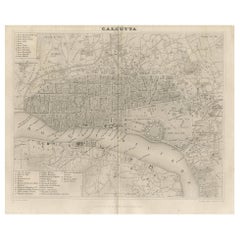
- Antique Map of the City of Kolkata by Balbi '1847'Located in Langweer, NLAntique map titled 'Calcutta'. Original antique map of the city of Kolkata, India. This map originates from 'Abrégé de Géographie (..)' by Adrien Balbi. Published 1847.Category
Antique Mid-19th Century Maps
MaterialsPaper
 $132 Sale Price20% Off
 - Antique Map of the City of London by Balbi '1847'Located in Langweer, NLAntique map titled 'London'. Original antique map of the city of London. This map originates from 'Abrégé de Géographie (..)' by Adrien Balbi. Published 1847.Category
Antique Mid-19th Century Maps
MaterialsPaper
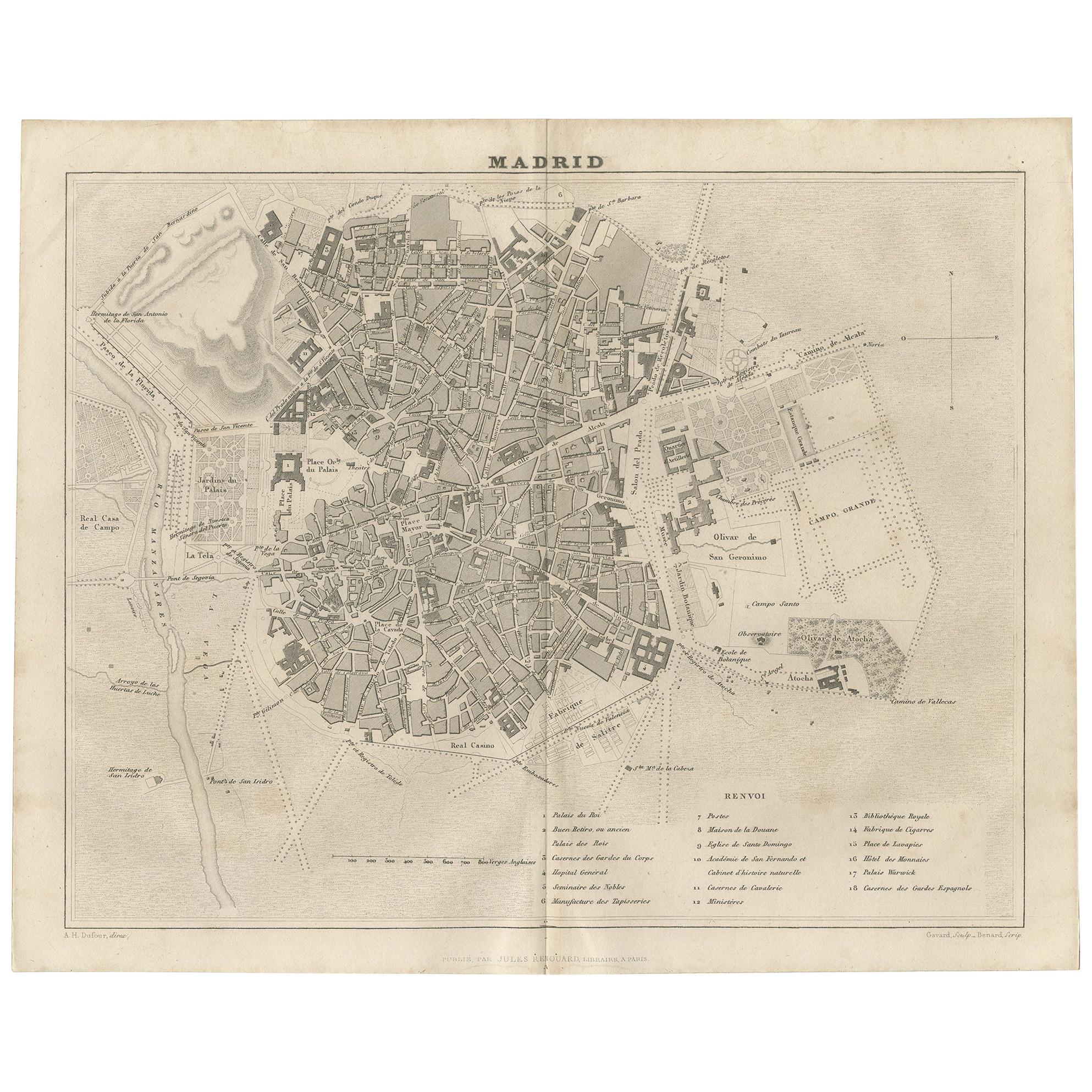
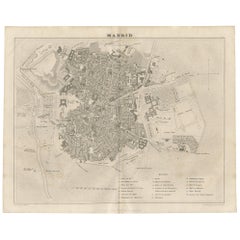
- Antique Map of the City of Madrid by Balbi '1847'Located in Langweer, NLAntique map titled 'Madrid'. Original antique map of the city of Madrid, Spain. This map originates from 'Abrégé de Géographie (..)' by Adrien Balbi. Published 1847.Category
Antique Mid-19th Century Maps
MaterialsPaper
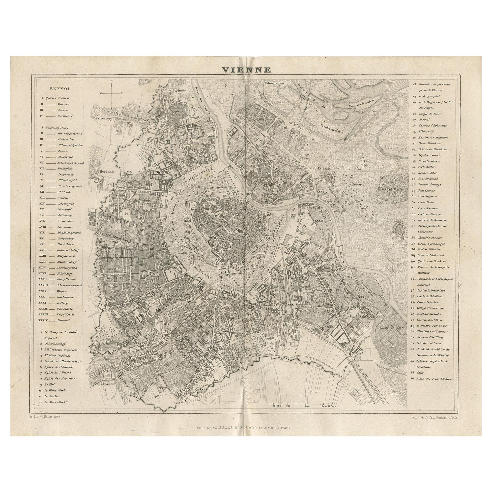
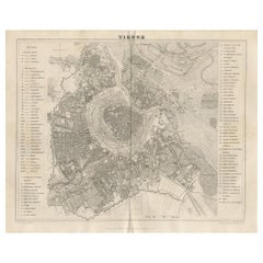
- Antique Map of the City of Vienna by Balbi '1847'Located in Langweer, NLAntique map titled 'Vienne'. Original antique map of the city of Vienna, Austria. This map originates from 'Abrégé de Géographie (..)' by Adrien Balbi. Published 1847.Category
Antique Mid-19th Century Maps
MaterialsPaper
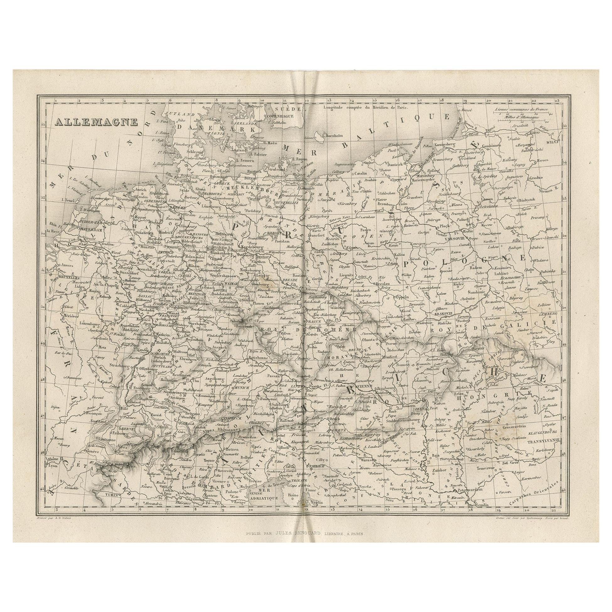
- Antique Map of Europe by Balbi '1847'Located in Langweer, NLAntique map titled 'Europe'. Original antique map of Europe. This map originates from 'Abrégé de Géographie (..)' by Adrien Balbi. Published 1847.Category
Antique Mid-19th Century Maps
MaterialsPaper
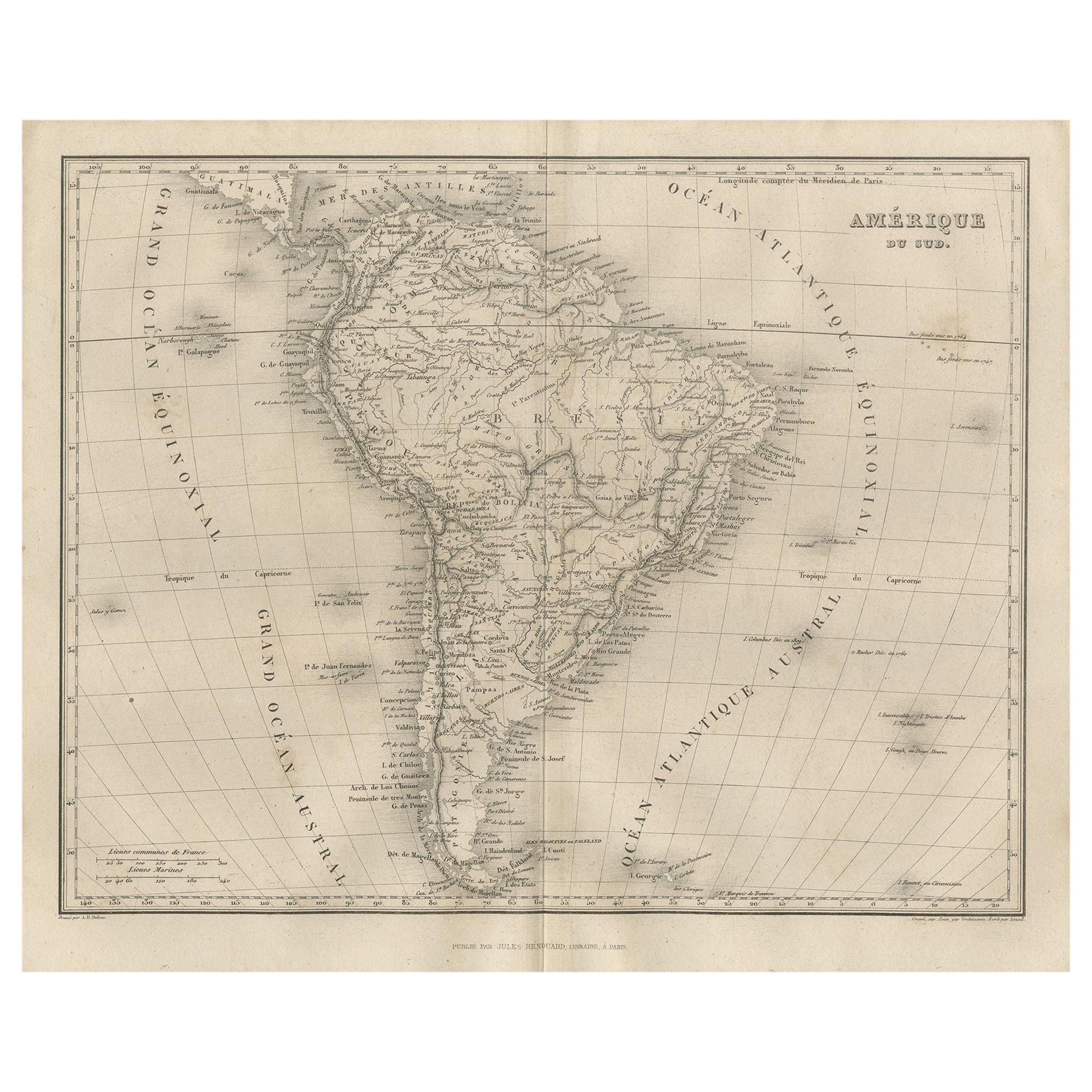
- Antique Map of Asia by Balbi '1847'Located in Langweer, NLAntique map titled 'Asie'. Original antique map of Asia. This map originates from 'Abrégé de Géographie (..)' by Adrien Balbi. Published 1847.Category
Antique Mid-19th Century Maps
MaterialsPaper


You May Also Like
- Original Antique Map / City Plan of Brussels by Tallis, circa 1850Located in St Annes, LancashireGreat map of Brussels. Steel engraving. Published by London Printing & Publishing Co. (Formerly Tallis), C.1850 Free shipping.Category
Antique 1850s English Maps
MaterialsPaper
- Antique Map of American Cities, Vignette of New York City, circa 1920Located in St Annes, LancashireGreat maps of American Cities Unframed Original color By John Bartholomew and Co. Edinburgh Geographical Institute Published, circa 1920Category
Vintage 1920s British Maps
MaterialsPaper
- Catalogue of Engraved Views, Plans, Etc., Of New York City, 1st EdLocated in valatie, NYA catalogue of engraved views, plans, etc., Of New York City, (The Collection of Percy R. Pyne II). Privately Printed by The De Vinne Press, New York, 1912. Limited to 100 copies. Gr...Category
Early 20th Century American Books
MaterialsPaper
- Antique Map of Italy by Andriveau-Goujon, 1843By Andriveau-GoujonLocated in New York, NYAntique Map of Italy by Andriveau-Goujon, 1843. Map of Italy in two parts by Andriveau-Goujon for the Library of Prince Carini at Palazzo Carini i...Category
Antique 1840s French Maps
MaterialsLinen, Paper
 $3,350 / set
 - Antique Map of Principality of MonacoBy Antonio Vallardi EditoreLocated in Alessandria, PiemonteST/619 - "Old Geographical Atlas of Italy - Topographic map of ex-Principality of Monaco" - ediz Vallardi - Milano - A somewhat special edition ---Category
Antique Late 19th Century Italian Other Prints
MaterialsPaper
 $228 Sale Price74% Off
 - Original Antique Map of Russia By Arrowsmith. 1820Located in St Annes, LancashireGreat map of Russia Drawn under the direction of Arrowsmith Copper-plate engraving Published by Longman, Hurst, Rees, Orme and Brown, 1820 Unframed.Category
Antique 1820s English Maps
MaterialsPaper


Recently Viewed
View AllMore Ways To Browse
Antique New York City Maps
Antique Maps New York City
Antique Map New York City
Antique Map Of New York City
Antique Maps Of New York City
Vans Authentics
Antique Island Map
Antique Furniture South East
Ocean Antiques
Map Netherlands
Old Map World
Old World Maps
Framed Map
Antique Vignette
Antique Vignettes
Framed Maps
Old Maps Of World
16th Century Dutch