Items Similar to Antique Andrees Handatlas, German Cartography Book, Maps, Atlas, Reference, 1924
Want more images or videos?
Request additional images or videos from the seller
1 of 13
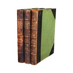
Antique Andrees Handatlas, German Cartography Book, Maps, Atlas, Reference, 1924
$862.51
£626
€735.82
CA$1,193.50
A$1,315.81
CHF 688.39
MX$16,142.53
NOK 8,665.45
SEK 8,103.57
DKK 5,495.16
About the Item
This is a large volume antique copy of Andrees' Handatlas. A German, bound chromolithography atlas, dating to the early 20th century, this edition published in 1924.
Full title: Andrees Allgemeiner Handatlas in 228 Haupt - und 215 Nebenkarten mit vollständigem alphabetischen Namenverzeichnis in besonderem Bande.
Superb cartographic detail to this comprehensive, fine bound atlas
Displays a desirable aged patina and in lightly time worn, intact order
Large proportion, making for ease of studying the full colour maps
Bound in cloth on board with gold titling to cover and spine
Presented in German across 228 main maps and 215 excerpts
This is a fascinating large volume antique copy of Andrees' Handatlas, with delightful early 20th century cartographic detail, in full colour and with comprehensive coverage of the Earth in period. Delivered ready to enjoy.
Dimensions:
Max Width: 30.5cm (12'')
Max Depth: 6.5cm (2.5'')
Max Height: 45cm (17.75'')
- Dimensions:Height: 17.72 in (45 cm)Width: 12.01 in (30.5 cm)Depth: 2.56 in (6.5 cm)
- Style:Other (In the Style Of)
- Materials and Techniques:
- Place of Origin:
- Period:
- Date of Manufacture:Circa 1920
- Condition:Wear consistent with age and use. Presented in good, intact antique condition.
- Seller Location:Hele, Devon, GB
- Reference Number:Seller: 252521stDibs: LU2645344185472
About the Seller
5.0
Platinum Seller
Premium sellers with a 4.7+ rating and 24-hour response times
Established in 2005
1stDibs seller since 2017
1,037 sales on 1stDibs
Typical response time: 1 hour
- ShippingRetrieving quote...Shipping from: Hele, Devon, United Kingdom
- Return Policy
Authenticity Guarantee
In the unlikely event there’s an issue with an item’s authenticity, contact us within 1 year for a full refund. DetailsMoney-Back Guarantee
If your item is not as described, is damaged in transit, or does not arrive, contact us within 7 days for a full refund. Details24-Hour Cancellation
You have a 24-hour grace period in which to reconsider your purchase, with no questions asked.Vetted Professional Sellers
Our world-class sellers must adhere to strict standards for service and quality, maintaining the integrity of our listings.Price-Match Guarantee
If you find that a seller listed the same item for a lower price elsewhere, we’ll match it.Trusted Global Delivery
Our best-in-class carrier network provides specialized shipping options worldwide, including custom delivery.More From This Seller
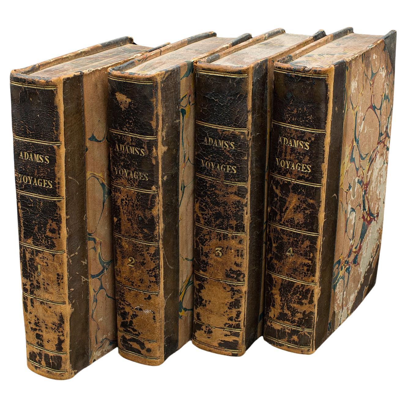
View All4 Vols Antique Botany Books, Flowers of Modern Voyages, English, Georgian, 1820
Located in Hele, Devon, GB
This is a set of 4 antique botany books, the Flowers of Modern Voyages by William Adams. An English language botany record with maps, dating to th...
Category
Antique Early 19th Century British Books
Materials
Paper

Antique Military Reference Book, Deeds That Won the Empire, History, Illustrated
Located in Hele, Devon, GB
This is an antique copy of Deeds That Won the Empire by W. H. Fitchett - an engaging bound and illustrated military history book presented in its intact, original order with only lig...
Category
Antique Early 1900s British Edwardian Books
Materials
Paper
Antique Reference Book, Old English Glasses, Hartshorne, History, Victorian
Located in Hele, Devon, GB
This is an antique reference book, Old English Glasses. An English language, bound historical title by Albert Hartshorne, published in the late Victorian period, 1897.
Full title: O...
Category
Antique Late 19th Century British Late Victorian Books
Materials
Paper
3vols Antique Reference Books, English Furniture of the 18th Century, Cescinsky
Located in Hele, Devon, GB
This is an antique 3 volume set of reference books - English Furniture of the Eighteenth Century, by Herbert Cescinsky. Published circa 1920.
Fascinating guide to the craft and aes...
Category
Early 20th Century British Mid-Century Modern Books
Materials
Paper
Large Antique Reference Book, The Close Rolls, Latin, Public Record, William IV
Located in Hele, Devon, GB
This is a large antique reference book, Rotuli Litterarum Clausarum. Printed in Latin and English, a later-bound House of Commons record, dating to the William IV period, published ...
Category
Antique Early 19th Century British William IV Books
Materials
Paper
Antique Punch Book, Almanac Compendium, English, Humour, Illustrated, Victorian
Located in Hele, Devon, GB
This is an antique Punch's almanac compendium for 1848-1887. An English, bound illustrated annual set, dating to the late Victorian period, circa 1880.
Established in 1841, Punch ma...
Category
Antique 1880s British Late Victorian Books
Materials
Textile, Paper
You May Also Like
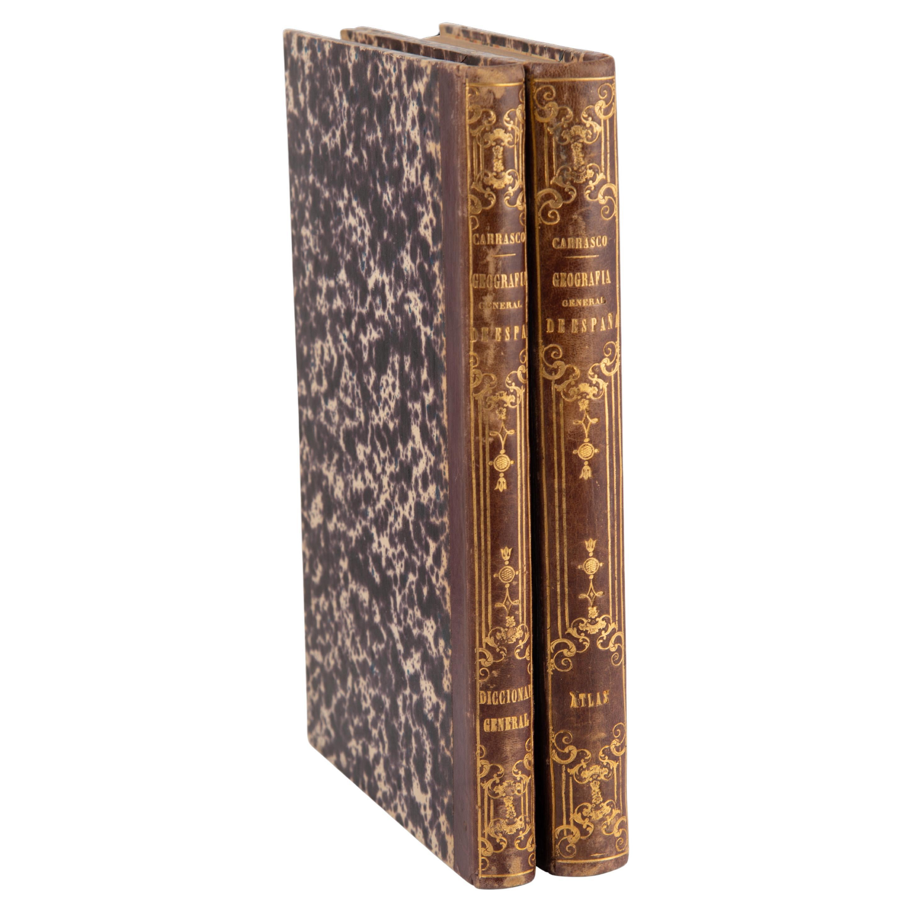
Two volumes: Geographical Atlas of Spain (…) and General Dictionary...
Located in Madrid, ES
Two volumes: Geographical Atlas of Spain (…) and General Dictionary of all Peoples. Editors Gaspar y Roig. Spain, Madrid, 1864 and 1862.
Two volumes framed in a similar way, with l...
Category
Antique 1860s Spanish Other Books
Materials
Other

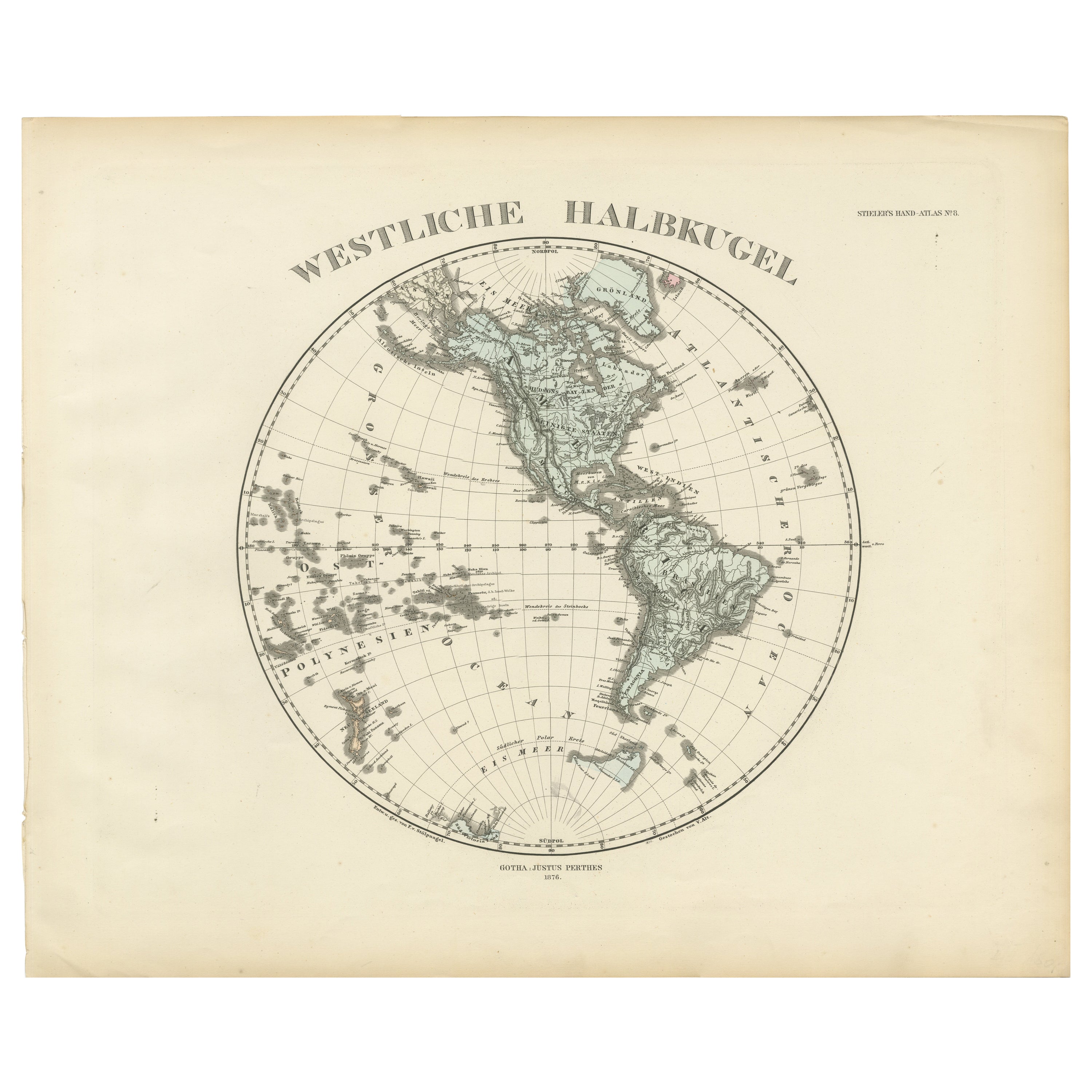
Western Hemisphere - 1876 Edition by Adolf Stieler, Published by Justus Perthes
Located in Langweer, NL
Map titled "Westliche Halbkugel" (Western Hemisphere), is a copperplate engraving from 1876 by Adolf Stieler, a renowned German cartographer. Here's an expanded analysis based on the...
Category
Antique 1870s Maps
Materials
Paper
$229 Sale Price
20% Off
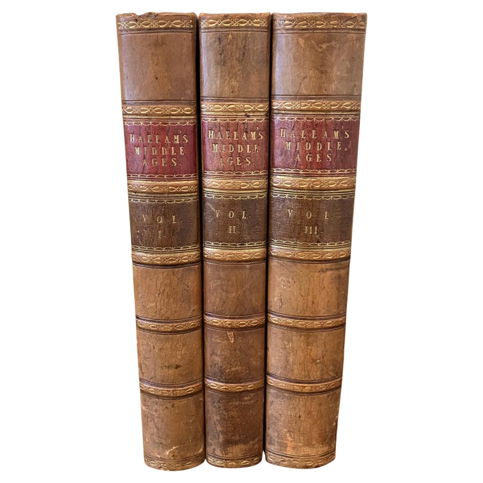
Europe During the Middle Ages by Henry Hallam 3 Volumes Leatherbound
Located in San Francisco, CA
Hallam's View of the State of Europe During the Middle Ages, complete in 3 leather bound octavo volumes with marbleized boards. The volumes contain the bookplate of former owner, Cha...
Category
Antique 1830s English Books
Materials
Leather, Paper

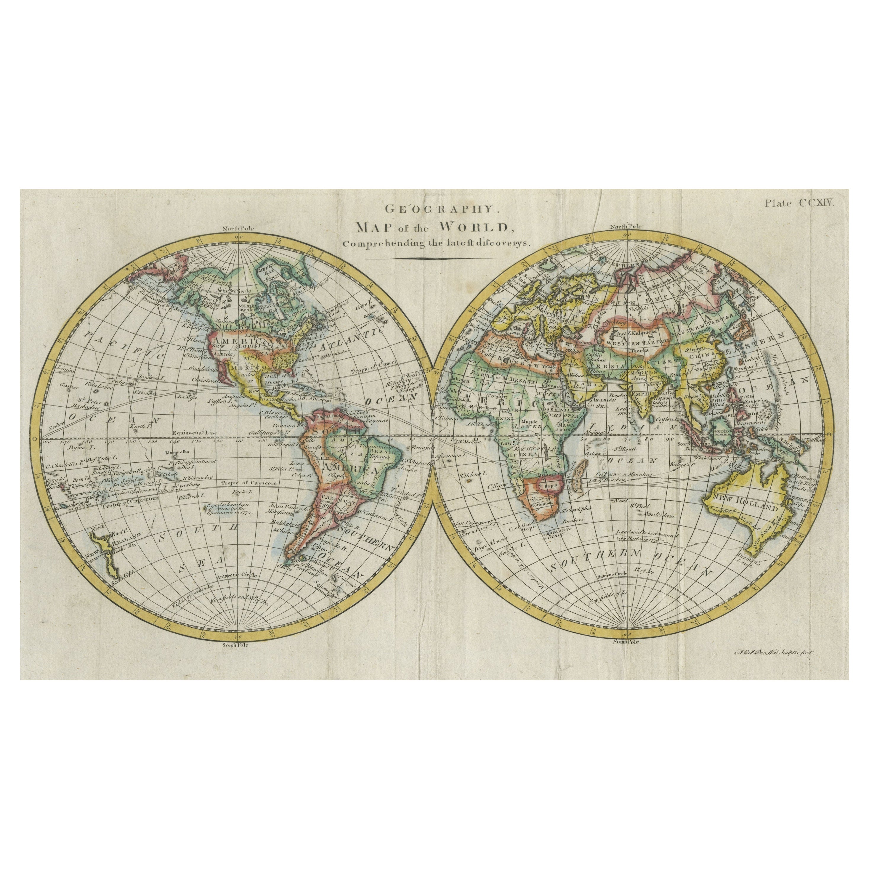
Interesting Original Antique Hemisphere Map Showing the Latest Discoveries
Located in Langweer, NL
Antique world map titled 'A Map of the World from the best Authorities'. Detailed map of the World, showing tracks of Captain James Cook in his 3 voyages in great detail. The map is ...
Category
Antique Late 18th Century Maps
Materials
Paper

$1,052 Sale Price
20% Off
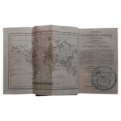
First Edition Guthrie's Geographical Grammmar in Miniature, 1807
Located in Langweer, NL
First edition of 'Guthrie's Geographical Grammar in Miniature'. 358 p. 13 fold. engr. maps, contemp. calf. Gilt spine. sm. 8vo. Upper hinge showing but strong; old bookplate "Ex Bibl...
Category
Antique Early 19th Century Books
Materials
Paper
$717 Sale Price
20% Off
Antique Leather Book "Histoire des Plantes", 1865s, France
Located in Greven, DE
Wonderful rare antique leather book, original from 1865.
"Histoire des Plantes" by Louis Figuier, written in French language.
Category
Antique Mid-19th Century French Antiquities
Materials
Leather, Paper
More Ways To Browse
Antique Atlas Furniture
Italy 1960 Side Table
Tilt Top Tables
Art Deco Rug Black
Art Deco Turkey
Bentwood Mid Century Modern Chair
High Back Italian Leather Chair
Long Antique Dining Tables
Upholstered Chair With Metal Legs
10 Chairs
Glass Table With Metal Legs
Large Round Coffee Table
Mid Century Dinner Set
Olive Green Rug
Vintage Green Wool Rug
Aluminum Outdoor Furniture
Monumental Ceramics
Painted Wooden Chair