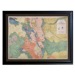
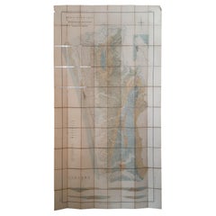
1877 General Geological Map of Colorado by F. V. Hayden
View Similar Items


Video Loading
Want more images or videos?
Request additional images or videos from the seller
1 of 8
1877 General Geological Map of Colorado by F. V. Hayden
About the Item
- Dimensions:Height: 32 in (81.28 cm)Width: 42 in (106.68 cm)Depth: 1 in (2.54 cm)
- Materials and Techniques:
- Place of Origin:
- Period:
- Date of Manufacture:1877
- Condition:Additions or alterations made to the original: Linen back, by previous owners, in royal blue linen. Archival framing by Rio Grande Custom Framing in Colorado Springs, CO in January of 2024. Wear consistent with age and use. Minor fading.
- Seller Location:Colorado Springs, CO
- Reference Number:Seller: M171-d1stDibs: LU909738088252
About the Seller
4.9
Platinum Seller
These expertly vetted sellers are 1stDibs' most experienced sellers and are rated highest by our customers.
Established in 2010
1stDibs seller since 2011
400 sales on 1stDibs
More From This SellerView All
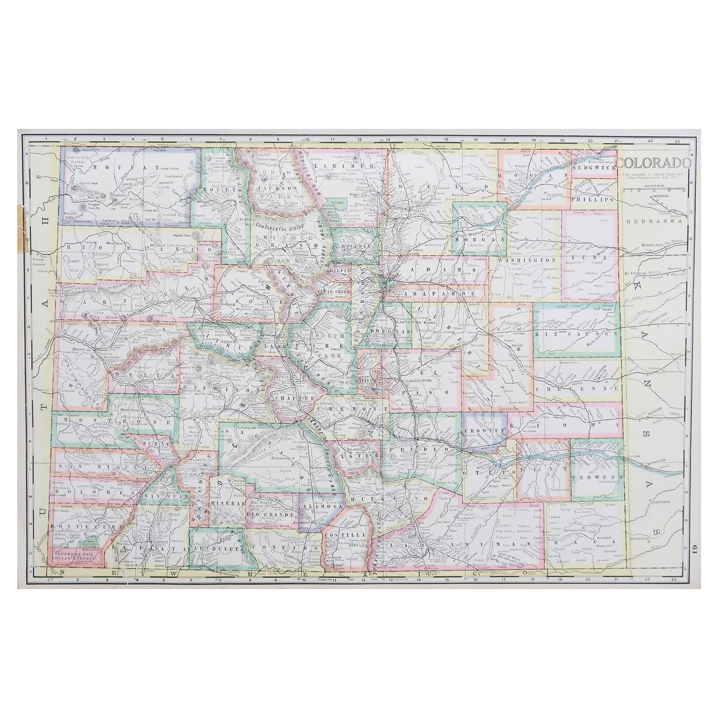
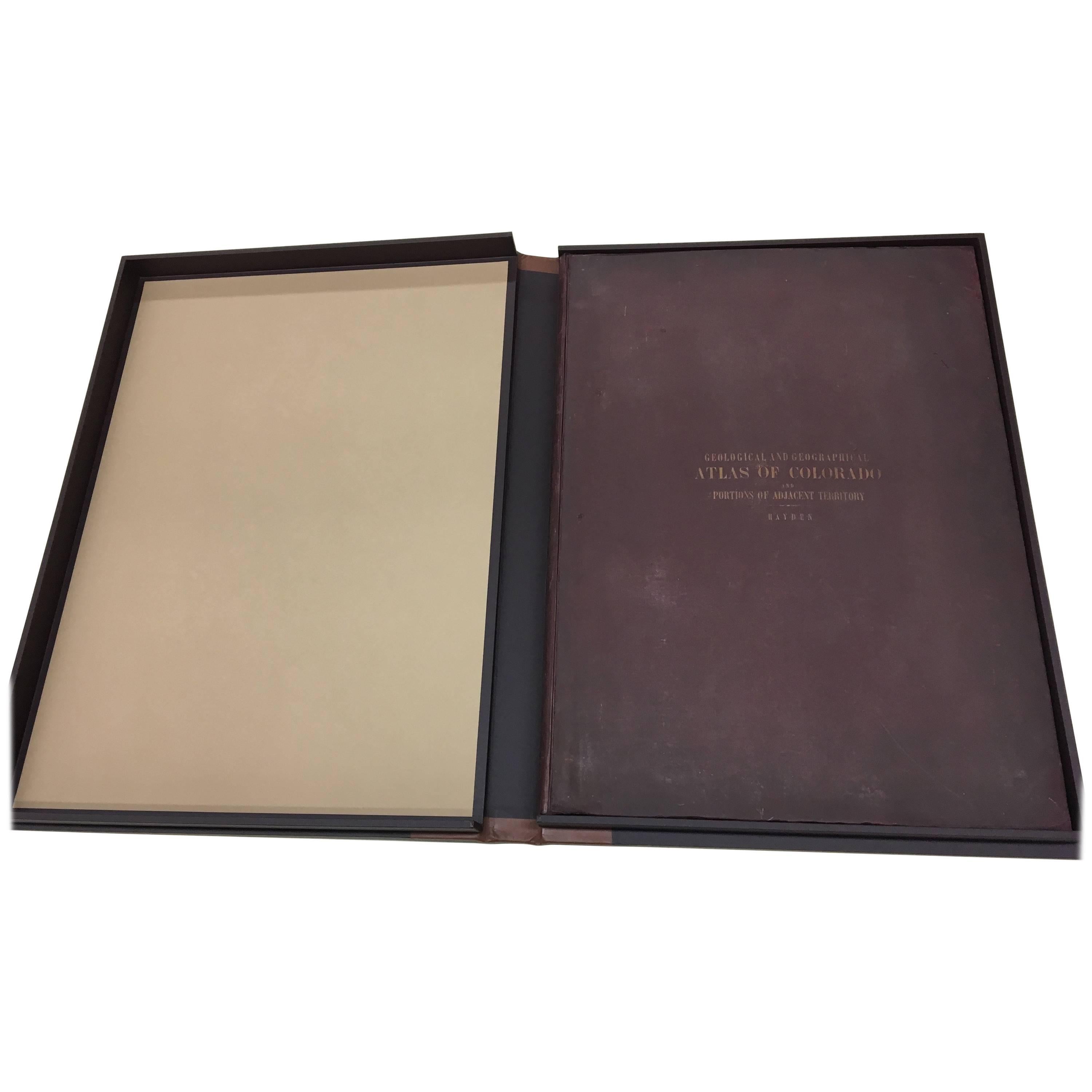
- 1877 "Geological and Geographical Atlas of Colorado" by F. V. HaydenLocated in Colorado Springs, COThis is F. V. Hayden's Geological and Geographical Atlas of Colorado and Portions of Adjacent Territory, an unmatched geological record for its time. Published by the Department of the Interior in 1877, the Atlas of Colorado consists of twenty double elephant sized sheets, divided into two series. The first series, four sheets, embrace the entire area on a scale of twelve miles to an inch, and include Triangulations, Drainage, an Economic Map, and a General Geological map...Category
Antique 1870s American Maps
MaterialsPaper
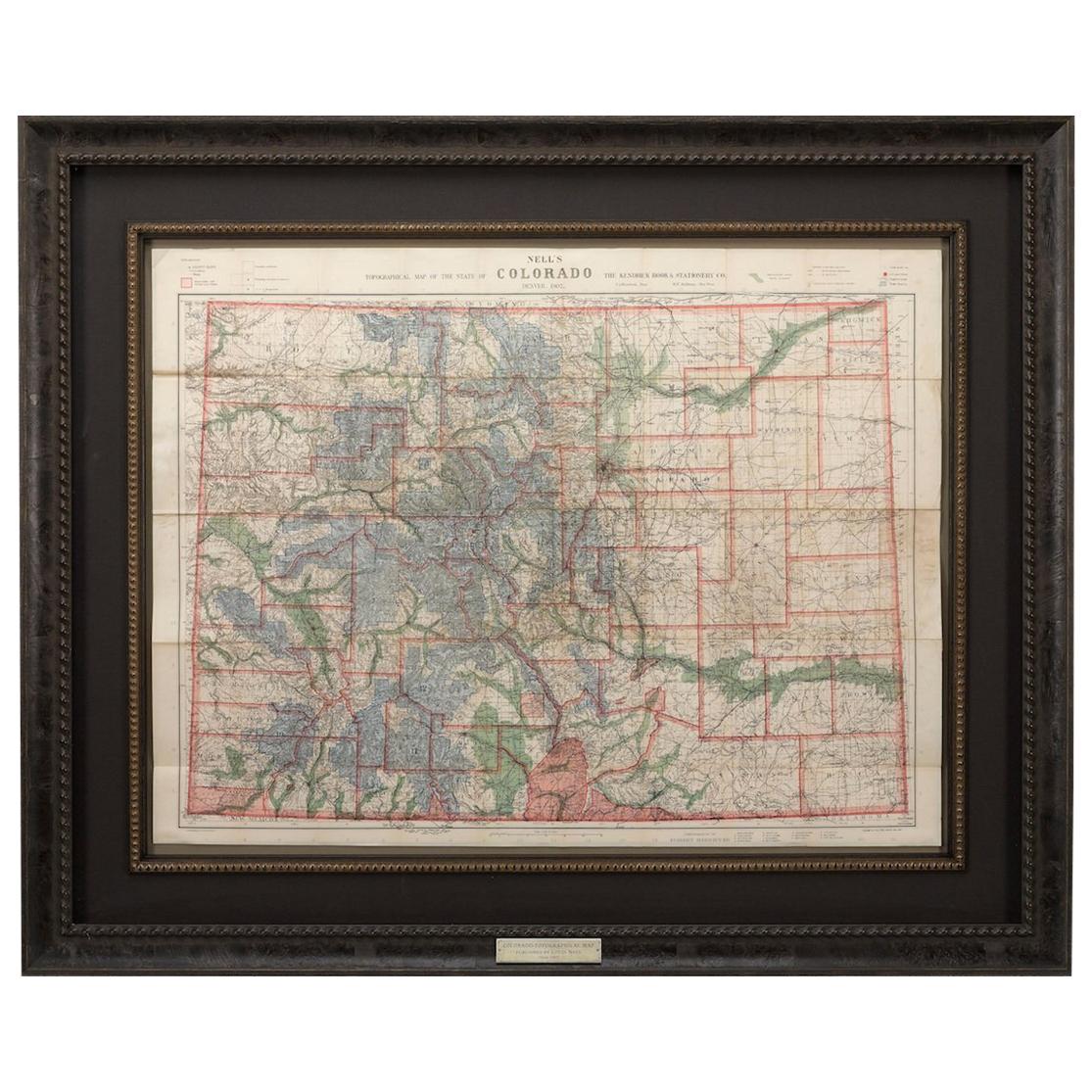
- 1907 Map of Colorado, Antique Topographical Map, by Louis NellLocated in Colorado Springs, COThis highly detailed pocket map is a topographical map of the state of Colorado by Louis Nell from 1907. The map "has been complied from all availabl...Category
Antique Early 1900s American Maps
MaterialsPaper
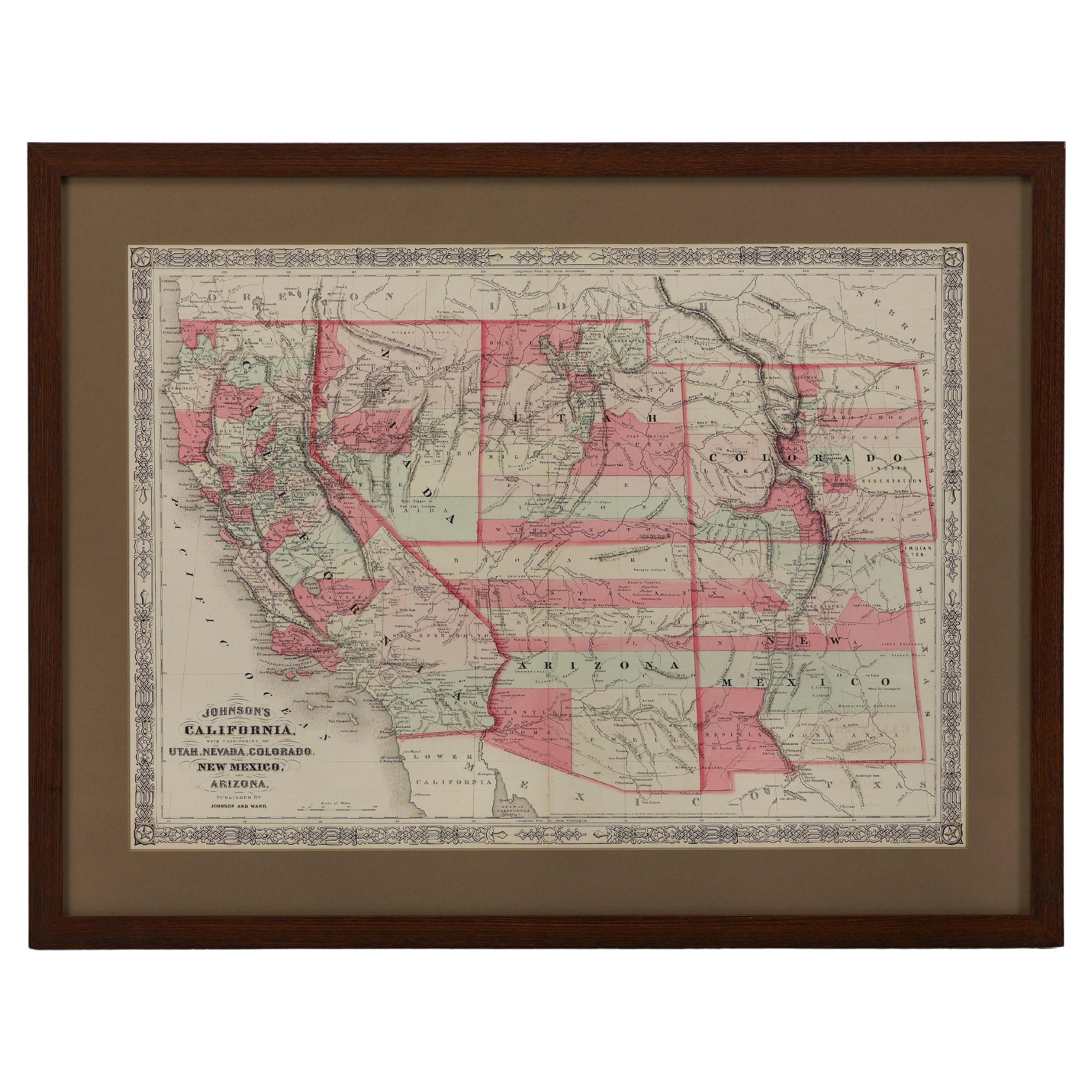
- 1865 "Johnson's California, Utah, Nevada, Colorado, New Mexico, Arizona" MapLocated in Colorado Springs, COPresented is an original 1865 "Johnson's California, with Territories of Utah, Nevada, Colorado, New Mexico, and Arizona” map. First published in 1864, thi...Category
Antique Mid-19th Century Maps
MaterialsPaper
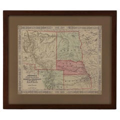
- 1865 "Johnson's Nebraska, Dakota, Colorado, Idaho & Kansas" Map, Johnson & WardLocated in Colorado Springs, COPresented is an original 1865 "Johnson's Nebraska, Dakota, Colorado, Idaho & Kansas” map. This map was issued as page 63 in the 1865 edition of “Johnson's N...Category
Antique Mid-19th Century Maps
MaterialsPaper
- 1861 Topographical Map of the District of Columbia, by Boschke, Antique MapLocated in Colorado Springs, COPresented is an original map of Albert Boschke's extremely sought-after "Topographical Map of the District of Columbia Surveyed in the Years 1856 ...Category
Antique 1860s American Historical Memorabilia
MaterialsPaper
- "Clason's Guide Map of Montana" by The Clason Map Company, Circa 1920sLocated in Colorado Springs, COPresented is “Clason's Guide Map of Montana,” published in the early 1920s by the Clason Map Company. Issued as a folding map, this map identifies county boundaries, county seats, Na...Category
Vintage 1920s American Art Deco Maps
MaterialsPaper


You May Also Like
- Antique Map of Wisconsin with Inset Geological Map of WisconsinLocated in Langweer, NLAntique map titled 'Wisconsin'. Original antique map of Wisconsin, United States. With inset geological map of Wisconsin. This print originates from '...Category
Antique Late 19th Century Maps
MaterialsPaper
- Antique Geological Map of the World by Johnston '1850'Located in Langweer, NLAntique map titled 'The Geological Structure of the Globe'. Original antique geological map of the world. This map originates from 'The Physica...Category
Antique Mid-19th Century Maps
MaterialsPaper
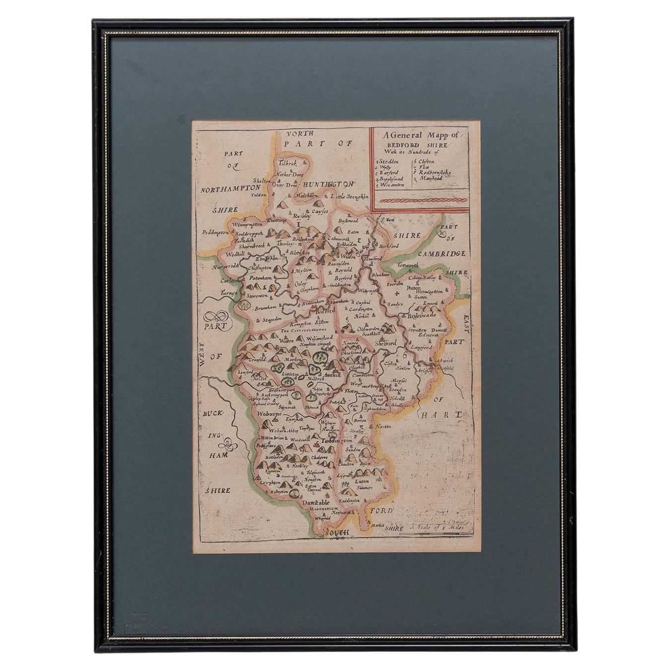
- Map Bedfordshire General FramedLocated in BUNGAY, SUFFOLKA general map of Bedfordshire with its hundreds A scale of 5 miles in the original green mount and traditional black and gold frame. Measures: 36cm 14" high.Category
Antique 18th Century English Georgian Maps
MaterialsPaper
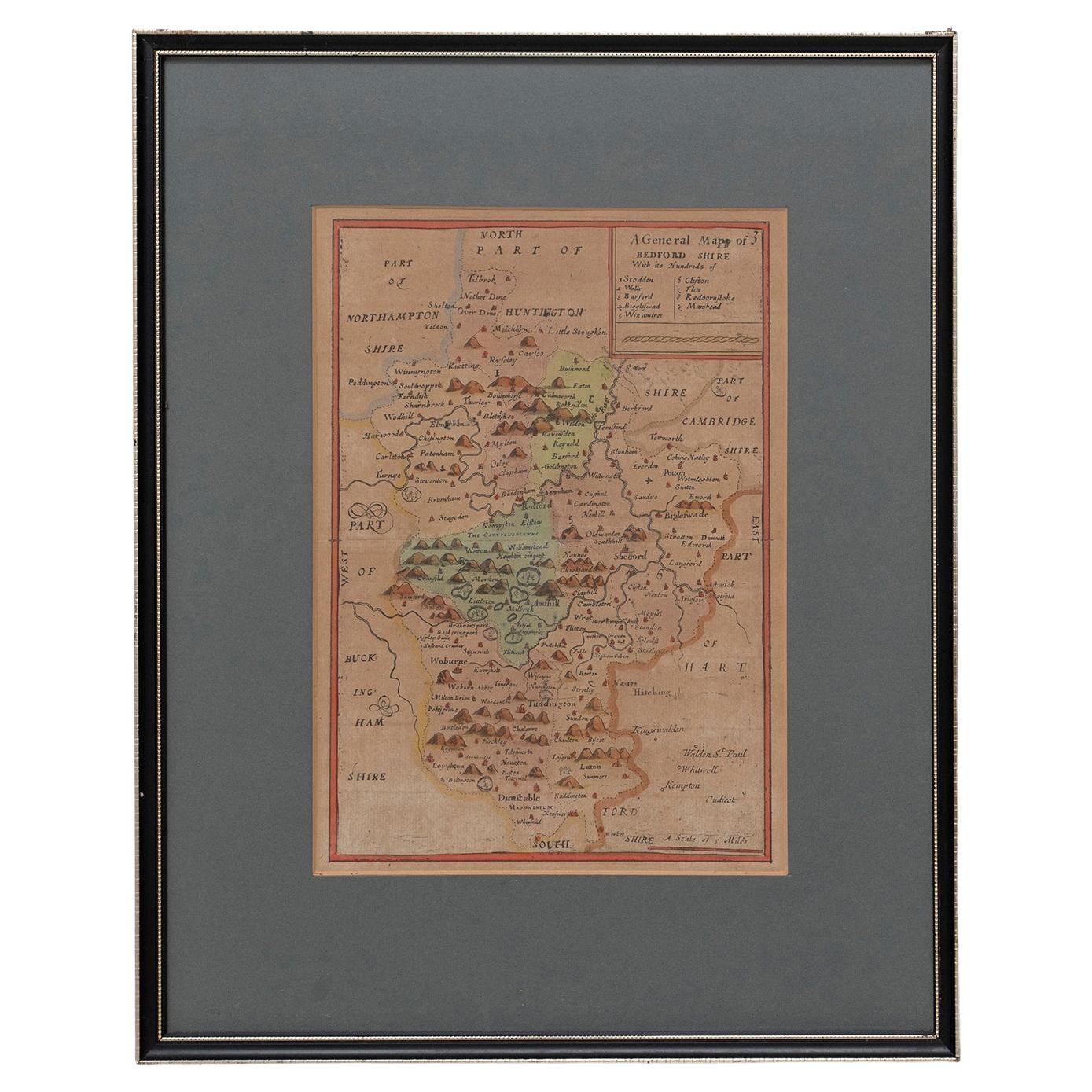
- Map Bedfordshire No 3 General FramedLocated in BUNGAY, SUFFOLKA general map of Bedfordshire with its hundreds. Measure: 37cm 14 1/2" high A scale of 5 miles. in the original green mount and traditional black and gold frame. charming map with...Category
Antique 18th Century English Georgian Maps
MaterialsPaper
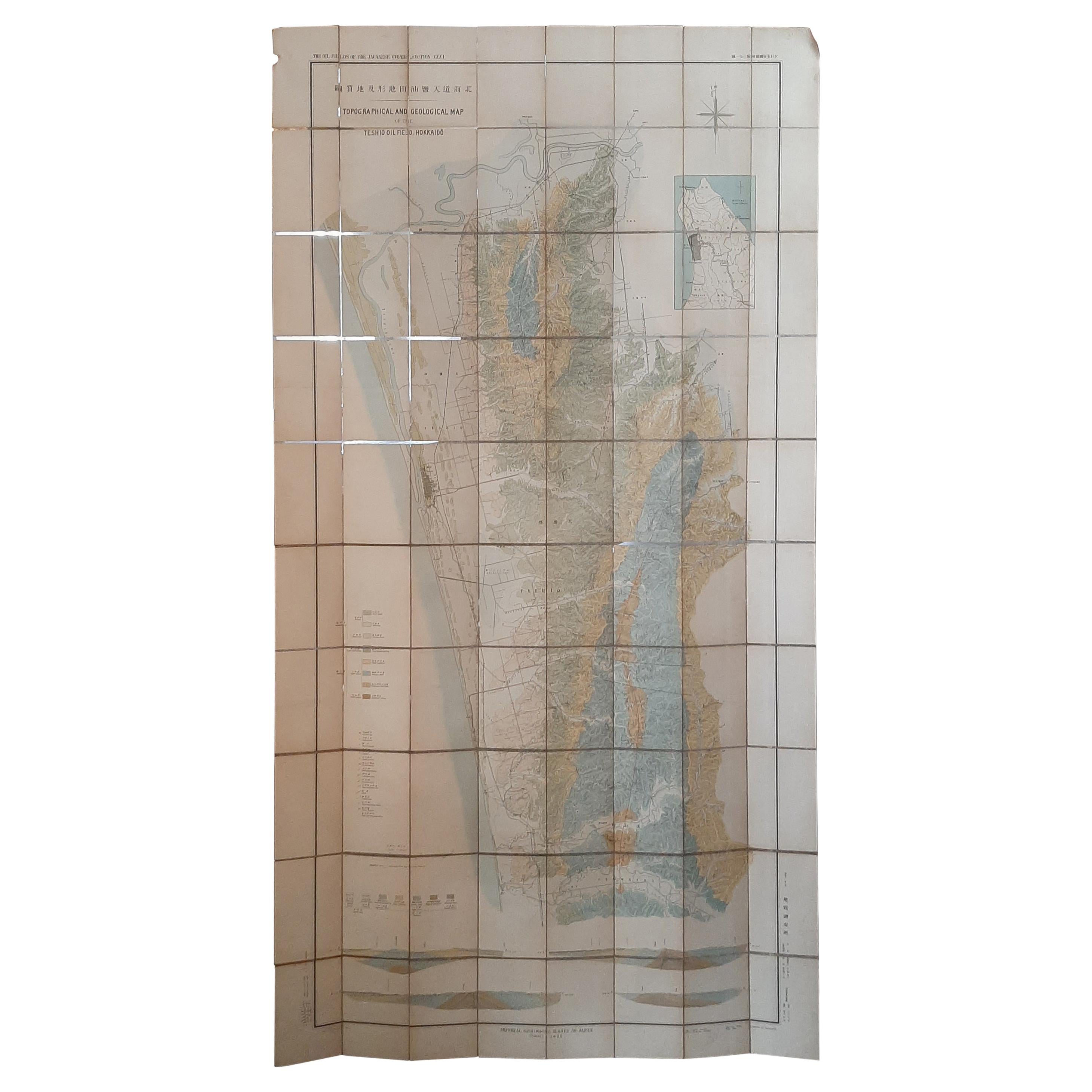
- Large Topographical and Geological Map of the Teshio Oil Field, '1936'Located in Langweer, NLTopographical and geological map of the Teshio oil field. Shows location of oil well, oil sand, natural gas, coal, Sulphur spring, anticlinal axis, prof...Category
20th Century Maps
MaterialsLinen, Paper
 $1,049 Sale Price20% Off
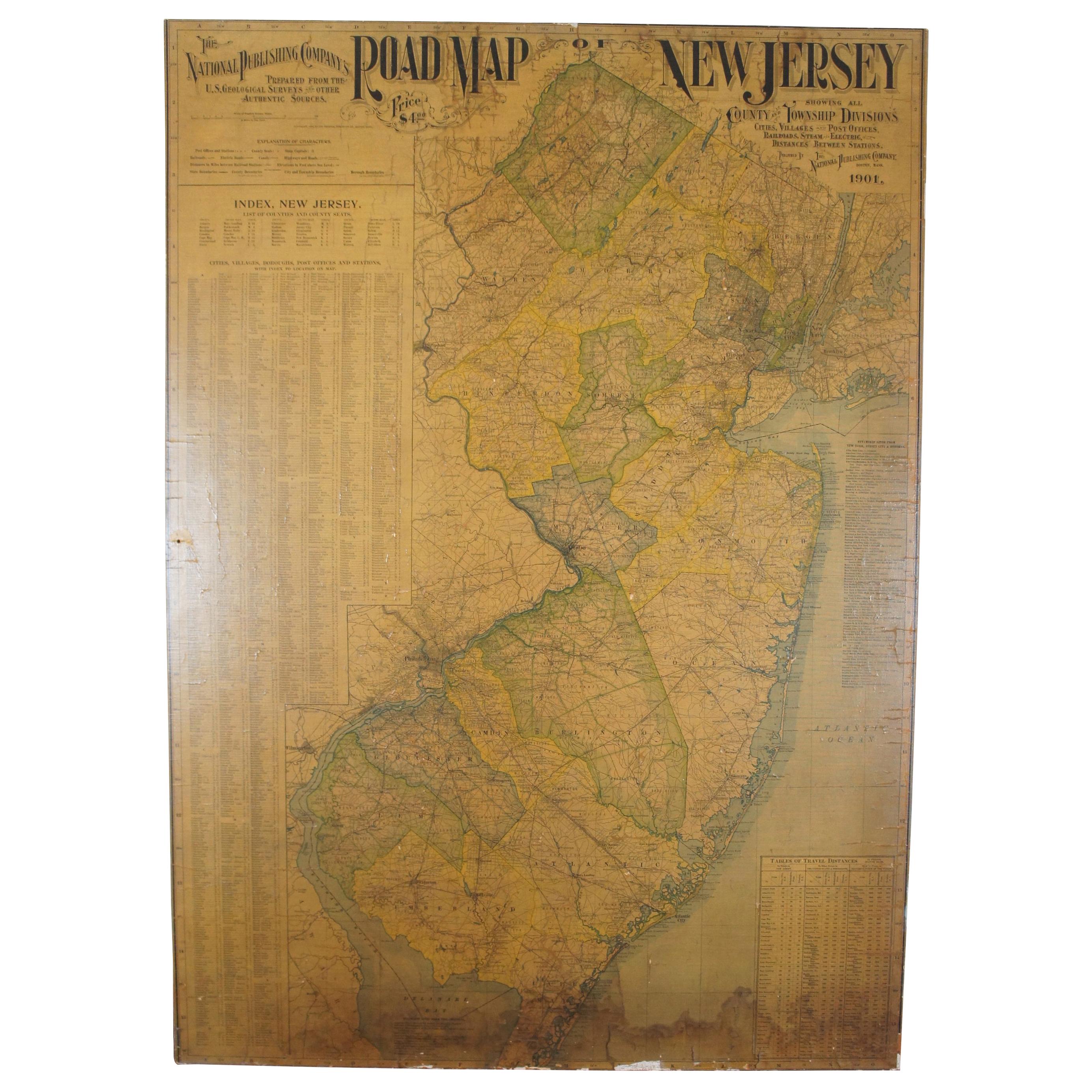
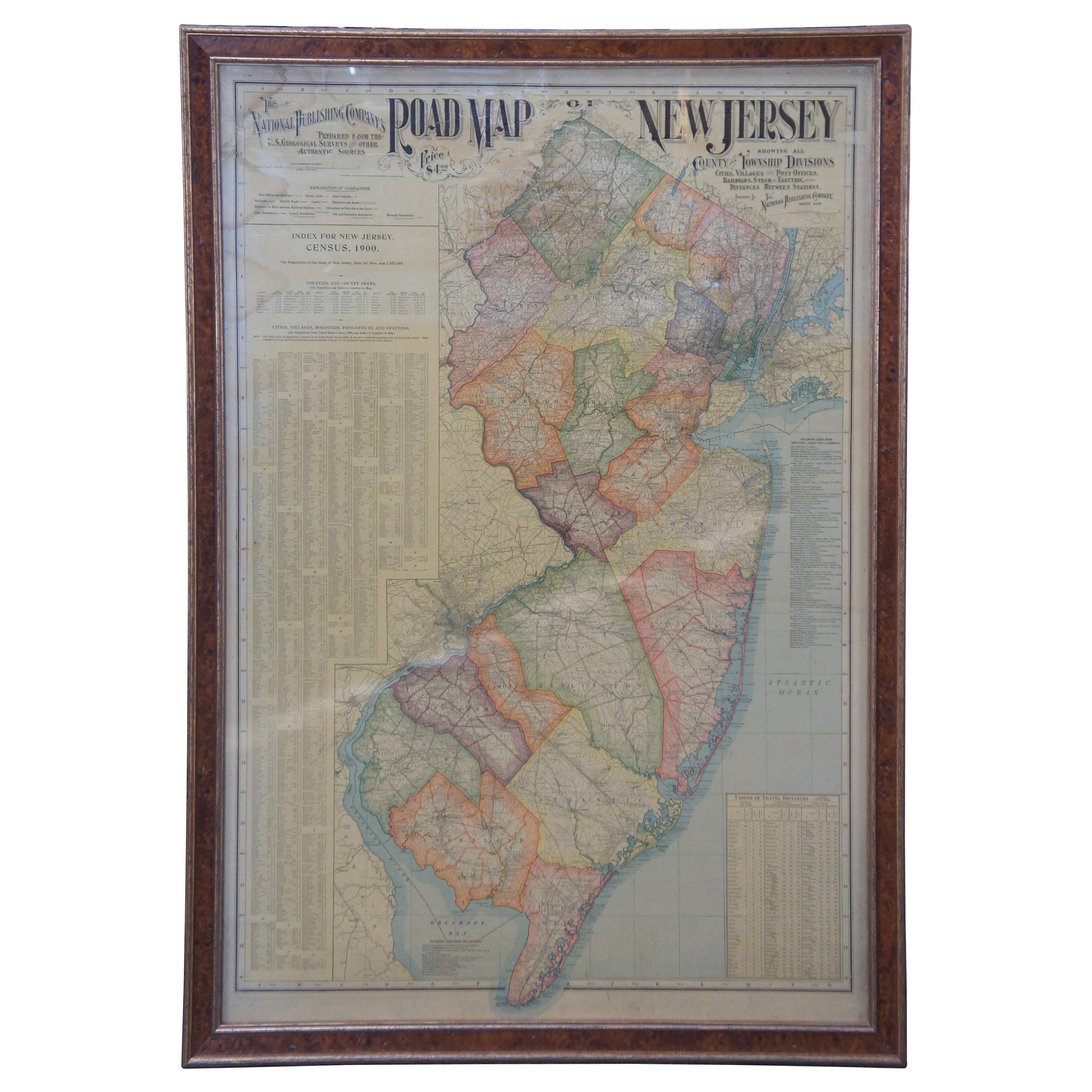
 - Antique 1901 National Publishing Company's Road Map of New Jersey GeologicalLocated in Dayton, OHThe National Publishing Company's road map of New Jersey, showing all county and township divisions, cities villages and post-offices, railroads, ste...Category
Antique Early 1900s Victorian Prints
MaterialsPaper


Recently Viewed
View AllMore Ways To Browse
Map Of Utah
Utah Map
United States Antique Map
1859 Asia Map
Antique Map Antilles
Edens Whale
Atlas School Supply On Sale
Ithaca Antique Map
Port Antonio Map
Rand McNally & Co. On Sale
Rand Mcnally Map Of California
Rand Mcnally Map Of Colorado
Map Of German
Levasseur A
Antique Map Copenhagen
Antique Map Of Finland
Antique Map Singapore
Antique Maps Singapore