Items Similar to "Clason's Guide Map of Montana" by The Clason Map Company, Circa 1920s
Want more images or videos?
Request additional images or videos from the seller
1 of 10
"Clason's Guide Map of Montana" by The Clason Map Company, Circa 1920s
About the Item
Presented is “Clason's Guide Map of Montana,” published in the early 1920s by the Clason Map Company. Issued as a folding map, this map identifies county boundaries, county seats, Native American reservation borders, national forest boundaries, railroads, and roads. Popular “auto roads” and “main auto roads” are identified in red snaking lines across the state. The map also shows various oil dome locations throughout Montana, each circled in navy. On the right hand side of the map is a large index, to help viewers find towns on the map. It also provides population data by town, for any town with a population of 150 people or more.
The Homestead Act of 1862, the 1877 Desert Land Act, and finally, the Enlarged Homestead Act of 1909 drew many settlers to Montana, enticing those hoping to make a living on 320 acres per homestead. Railroad companies played a major role in the state’s population boom as well. They launched massive advertising campaigns encouraging settlement with pamphlets and posters that praised the state’s fertile soil. More than 80,000 homesteaders moved into Montana between 1909 and the early 1920s. At its peak in 1918, 14,178 homestead claims were filed on 3.2 million acres.
As homesteaders moved to Montana, folding maps just like this one would have been necessary to navigate the large state. This particular map has a large red circle around the town of Whitehall, possibly indicating the original owner’s intent to visit or move there. Located in the Jefferson valley, Whitehall began as a rail depot created by the Northern Pacific and Montana Railroad in September of 1889. A year later, the Jefferson County Commissioners accepted and filed for the Townsite of Whitehall. The index on this map indicates Whitehall had a population of 417 at the time of printing.
The Clason Map Company was founded by George Samuel Clason in Denver, Colorado in 1905. Capitalizing on the bounty of the Nevada and Colorado mining industry, Clason’s first published maps were mining and mineral maps of the region. Later on, he transitioned to railroad and city maps of the local area. In the 1920’s, as cars became more commonplace, the Clason Map Company was the first to publish a modern road atlas of the United States. Their success allowed Clason to open a satellite office in Chicago and later Los Angeles.
CONDITION:
Very good condition overall, with only slight marginal wear and creases present. Color map, color is printed and original to the map. Paper is healthy. Fold lines present, as issued. The town of Whitehall is circled in red ink or wax crayon.
Map is archivally framed in a new, custom wooden frame with acid-free mats and UV conservation glass.
- Dimensions:Height: 23.13 in (58.76 cm)Width: 33.88 in (86.06 cm)Depth: 1.5 in (3.81 cm)
- Style:Art Deco (Of the Period)
- Materials and Techniques:
- Place of Origin:
- Period:
- Date of Manufacture:1920s
- Condition:Additions or alterations made to the original: Map is archivally framed in a new, custom wooden frame with acid-free mats and UV conservation glass. Framed by Rio Grande Custom Framing in Colorado Springs, Colorado I March of 2024. Wear consistent with age and use.
- Seller Location:Colorado Springs, CO
- Reference Number:
About the Seller
4.9
Platinum Seller
These expertly vetted sellers are 1stDibs' most experienced sellers and are rated highest by our customers.
Established in 2010
1stDibs seller since 2011
400 sales on 1stDibs
Typical response time: <1 hour
- ShippingRetrieving quote...Ships From: Colorado Springs, CO
- Return PolicyA return for this item may be initiated within 10 days of delivery.
More From This SellerView All
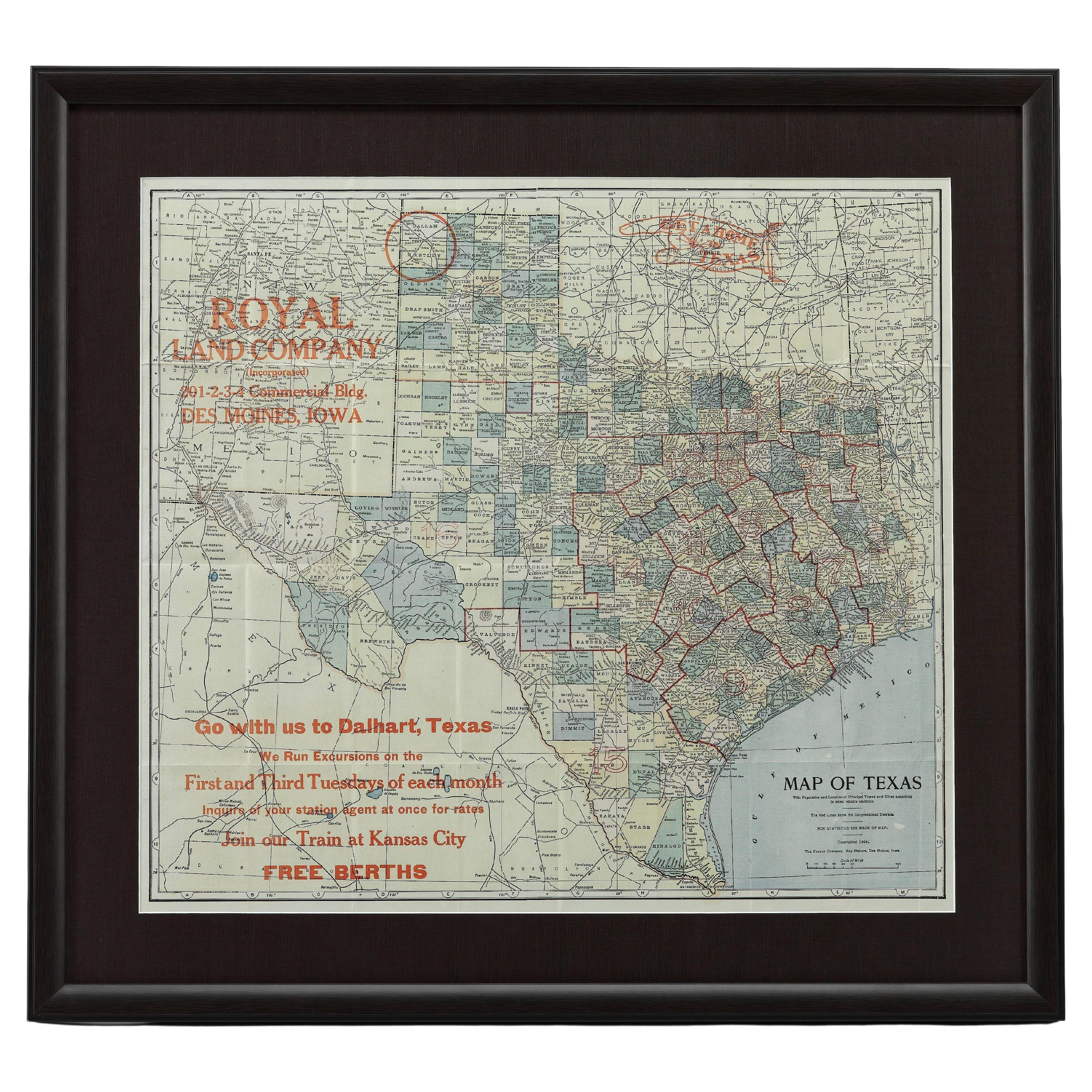
- 1908 "Map of Texas" by The Kenyon CompanyLocated in Colorado Springs, COPresented is an antique map of the state of Texas, printed as a pocket map in 1908 by The Kenyon Company. The state map is brightly colored by county, with principal cities and towns listed. The congressional districts are numbered and boldly outlined in red. Rivers, roads, and railroads all appear prominently on this fantastic map...Category
Antique Early 1900s American Maps
MaterialsPaper
- 1861 Topographical Map of the District of Columbia, by Boschke, Antique MapLocated in Colorado Springs, COPresented is an original map of Albert Boschke's extremely sought-after "Topographical Map of the District of Columbia Surveyed in the Years 1856 ...Category
Antique 1860s American Historical Memorabilia
MaterialsPaper
- 1859 "Map of the United States of America..." by J. H. ColtonBy J.H. ColtonLocated in Colorado Springs, COPresented is an 1859 “Map of the United States of America, the British Provinces, Mexico, the West Indies and Central America with Part of...Category
Antique 1850s American Maps
MaterialsPaper
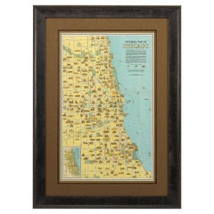
- Pictorial Map of Chicago, circa 1926Located in Colorado Springs, COThis is a colorful folding pocket map of the city of Chicago, published by The Clason Map Co., circa 1926. This highly decorative, double sided map features "Pictorial Map of Chicago...Category
Vintage 1920s American Maps
MaterialsPaper
- 1840 Map of the City of Washington Published by William M. MorrisonLocated in Colorado Springs, COThis map, printed in 1840, is a detailed representation of Washington, D.C. in the mid-19th century. The map shows block numbers, wards, and government buildings as well as details o...Category
Antique 1840s American Federal Maps
MaterialsPaper
- 1847 Ornamental Map of the United States & Mexico by H. PhelpsLocated in Colorado Springs, COOffered is an original 1847 ornamental map of the U.S. entitled "Ornamental Map of the United States & Mexico" by Humphrey Phelps. The map was issued as an act of Congress by Phelps on Fulton Street, New York. The broadside is elaborately hand-colored. This is a very detailed and graphic propaganda map of the United States expressing U.S. dominance of the North American continent. The hand-colored map proclaims the Manifest Destiny, with the recent acquisition of Upper California and Texas at the conclusion of the Mexican-American War. The newly acquired land is boldly colored, standing in stark contrast to the rest of the U.S. The map details a potential route for a railroad running from New York City, to Buffalo, to Chicago, then west along the Oregon Trail to Oregon City. This route anticipates the construction of the transcontinental railroad by nearly 20 years. The map includes elaborately detailed renderings of George Washington, Hernan Cortez, and Montezuma at top to represent European expansion to the Americas. At bottom are four inset designs with text showing the following: a chronological history of the U.S. beginning from settlement to the U.S. victory in the Mexican-American war; an illustration of General Zachary Taylor with details on the Oregon Territory; an illustration of the Aztec Temple of the Sun in Tenochtitlan and a chronology of the Conquest of the Aztec Empire under Cortez; a portrait of General Antonio Lopez de Santa Anna...Category
Antique 1840s American Maps
MaterialsPaper


You May Also Like
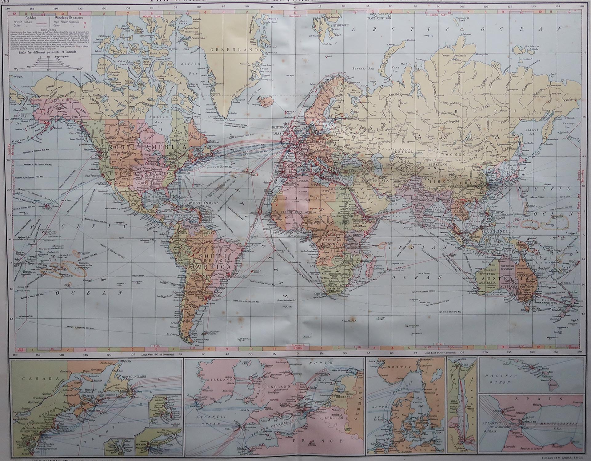
- Large Original Vintage Map of The World, circa 1920Located in St Annes, LancashireGreat map of The World Original color. Good condition / minor foxing Published by Alexander Gross Unframed.Category
Vintage 1920s English Maps
MaterialsPaper
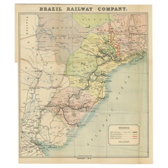
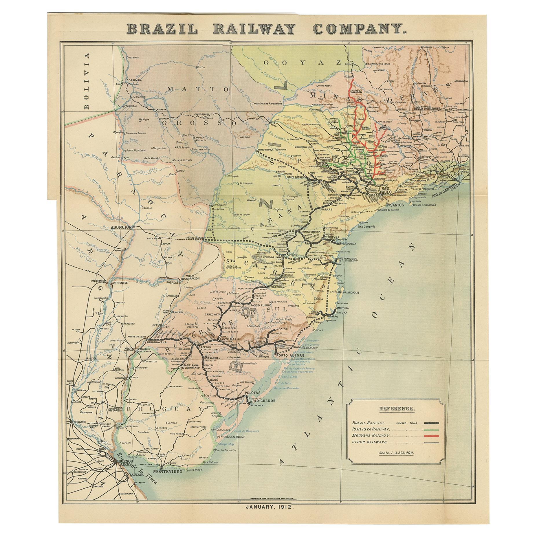
- Antique Map of the Brazil Railway Company, '1912'Located in Langweer, NLAntique map titled 'Brazil Railway Company'. This folding map is attached to the booklet titled 'The Brazil Railway Company'. It is a memorandum by A. H. A. Knox-Little, who was the ...Category
Early 20th Century Maps
MaterialsPaper
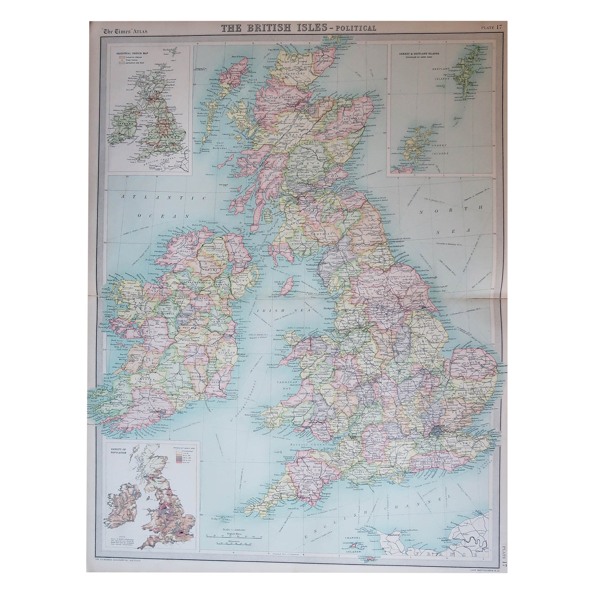
- Large Original Vintage Map of the United Kingdom, circa 1920Located in St Annes, LancashireGreat map of The United Kingdom Unframed Original color By John Bartholomew and Co. Edinburgh Geographical Institute Published, circa 1920 Free shipping.Category
Vintage 1920s British Maps
MaterialsPaper
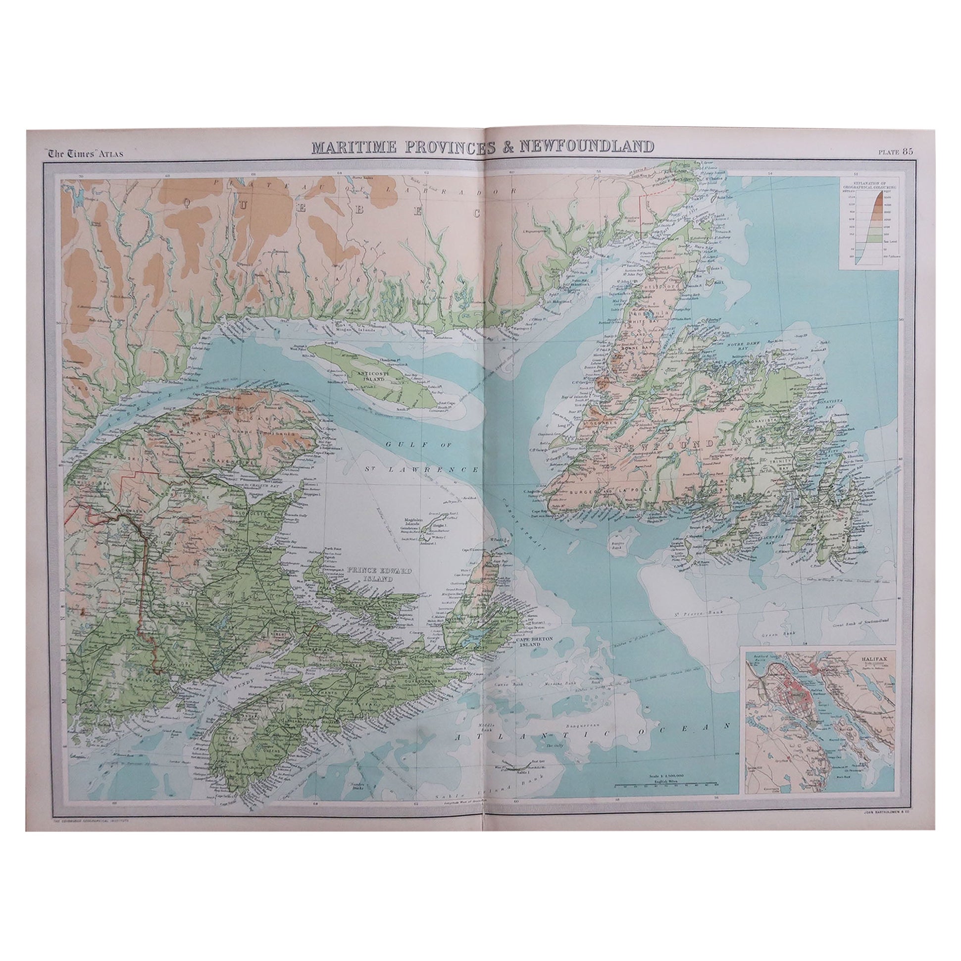
- Large Original Vintage Map of the Maritimes, Canada, circa 1920Located in St Annes, LancashireGreat map of The Maritime provinces Unframed Original color By John Bartholomew and Co. Edinburgh Geographical Institute Published, circa 1920 Free shipping.Category
Vintage 1920s British Maps
MaterialsPaper
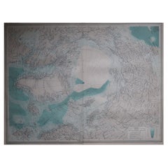
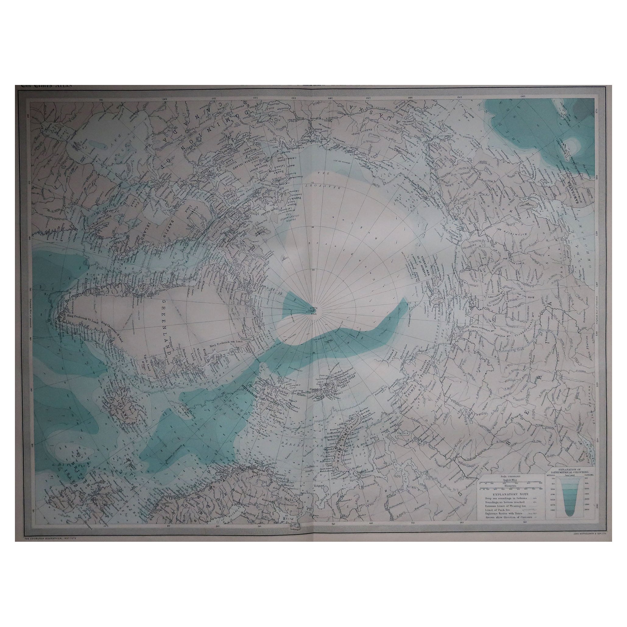
- Large Original Vintage Map of The North Pole, circa 1920Located in St Annes, LancashireGreat maps of The North Pole. Unframed. Original color. By John Bartholomew and Co. Edinburgh Geographical Institute. Published, circa 1920. Free shipp...Category
Vintage 1920s British Maps
MaterialsPaper
- Large Original Vintage Map of The South Pacific, circa 1920Located in St Annes, LancashireGreat map of The South Pacific Original color. Good condition / repairs to minor edge tears on top edge Published by Alexander Gross Unf...Category
Vintage 1920s English Edwardian Maps
MaterialsPaper