Items Similar to 18th Century Hand Colored Map of The State of Massachusetts, 1796

Want more images or videos?
Request additional images or videos from the seller
1 of 8
18th Century Hand Colored Map of The State of Massachusetts, 1796
$1,200
£910.70
€1,049
CA$1,714.81
A$1,881.99
CHF 970.59
MX$22,481.71
NOK 12,299.23
SEK 11,524.95
DKK 7,834.06
About the Item
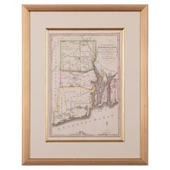
18th Century Hand Colored Map of "The State of Massachusetts from the best information," 1796, by cartographer and illustrator John Reid published in his "American Atlas," a period engraved map printed on woven paper, with town and county identifications, rivers, lakes, mountains and coastal details - including our archipelago of Nantucket, Tuckernuck and Muskeget Islands, titled and dated in an oval reserve lower left, and with lovely hand-painted hues that appear to be from the period. The top and bottom margins are calibrated with longitude west from London and east from Philadelphia, respectively.
The map is not signed, but is a well-known work and can be identified by an original by Reid held in the Library of Congress.
The map remains in very good condition, with just the crease from former folding; mounted in a later burlwood frame.
Measures: 14-3/4 in H x 18 in W
Framed: 18-7/8 in H x 21-7/8 in W
- Dimensions:Height: 18.88 in (47.96 cm)Width: 21.88 in (55.58 cm)Depth: 1 in (2.54 cm)
- Style:American Colonial (Of the Period)
- Materials and Techniques:
- Place of Origin:
- Period:1790-1799
- Date of Manufacture:1796
- Condition:Wear consistent with age and use.
- Seller Location:Nantucket, MA
- Reference Number:Seller: AD - CE-30 REY1stDibs: LU903947010082
About the Seller
5.0
Gold Seller
Premium sellers maintaining a 4.3+ rating and 24-hour response times
1stDibs seller since 2010
276 sales on 1stDibs
Typical response time: 1 hour
- ShippingRetrieving quote...Shipping from: Nantucket, MA
- Return Policy
Authenticity Guarantee
In the unlikely event there’s an issue with an item’s authenticity, contact us within 1 year for a full refund. DetailsMoney-Back Guarantee
If your item is not as described, is damaged in transit, or does not arrive, contact us within 7 days for a full refund. Details24-Hour Cancellation
You have a 24-hour grace period in which to reconsider your purchase, with no questions asked.Vetted Professional Sellers
Our world-class sellers must adhere to strict standards for service and quality, maintaining the integrity of our listings.Price-Match Guarantee
If you find that a seller listed the same item for a lower price elsewhere, we’ll match it.Trusted Global Delivery
Our best-in-class carrier network provides specialized shipping options worldwide, including custom delivery.More From This Seller
View All19th Century Chart of New England Coast, 1847
By U.S. Government
Located in Nantucket, MA
19th Century Chart of New England Coast: the U.S. Coast Survey Sketch A - Section 1, a triangulation chart showing the progress of the survey and details along the New England coas...
Category
Antique 1840s American Other Maps
Materials
Paper

Large U.S. Coast and Geodetic Survey Chart A of the Atlantic Coast, 1877
Located in Nantucket, MA
Large U.S. Coast and Geodetic Survey Chart A of the Atlantic Coast, 1877, re-issued in February 1881, a printed paper laid down on linen navigational chart of the U.S. Atlantic coast...
Category
Antique 1880s American Other Maps
Materials
Linen

Nantucket High-Ways, By-Ways and Not-Ways Decorative Map by Tony Sarg, ca 1930
By Tony Sarg
Located in Nantucket, MA
Vintage Nantucket High-Ways, By-Ways and Not-Ways Decorative Map by Tony Sarg, (Nantucket: 1880 - 1942) circa 1930, a decorative tourist map of Nantucket Island with details of roadw...
Category
Vintage 1930s American Other Maps
Materials
Paper

Tony Sarg Map of Nantucket Town, 1937
By Tony Sarg
Located in Nantucket, MA
Tony Sarg Map of Residential Main Street, Nantucket, 1937, a black and white printed map of our historic downtown area, with images of each building, street names and whimsical figur...
Category
Vintage 1930s American Other Maps
Materials
Paper

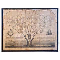
19th Century Mayhew Family Tree from Nantucket and Martha's Vineyard from 1855
Located in Nantucket, MA
Very rare 19th century Mayhew Family tree from Nantucket and Martha's Vineyard, lithograph on paper laid on linen, printed in 1855, in form of liter...
Category
Antique 1850s American Other Historical Memorabilia
Materials
Linen, Paper
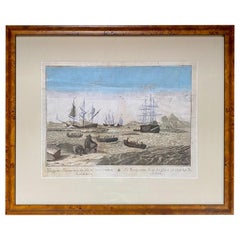
Early 18th Century Engraving of the Northern Whale Fishery, circa 1720
Located in Nantucket, MA
Very early 18th century Dutch woodblock engraving of the Northern Whale Fishery, circa 1720, a hand colored engraving illustrating the Dutch whaling flee...
Category
Antique 1720s Dutch Baroque Prints
Materials
Paper
You May Also Like
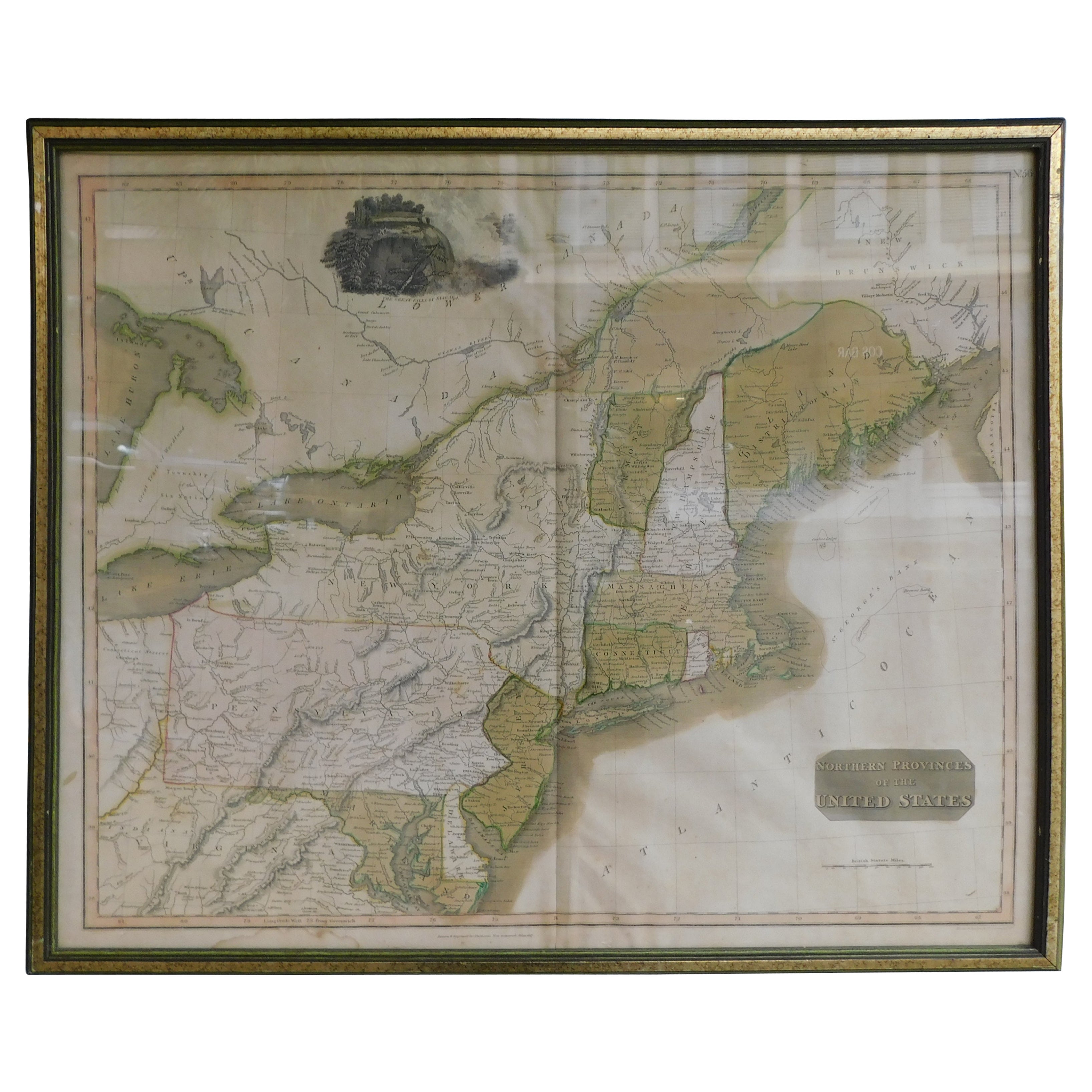
English Engraved Hand Colored Map of the North Eastern United States, circa 1817
Located in Charleston, SC
English copper engraved hand colored map of the North Eastern United States matted under glass in a gilt frame, Early 19th Century. Drawn and Engraved for Thomson's New General Atlas...
Category
Antique 1810s English George III Maps
Materials
Glass, Giltwood, Paint, Paper

Original Antique Map of the American State of Massachusetts, 1903
Located in St Annes, Lancashire
Antique map of Vermont and New Hampshire
Published By A & C Black. 1903
Original colour
Good condition
Unframed.
Free shipping
Category
Antique Early 1900s English Maps
Materials
Paper

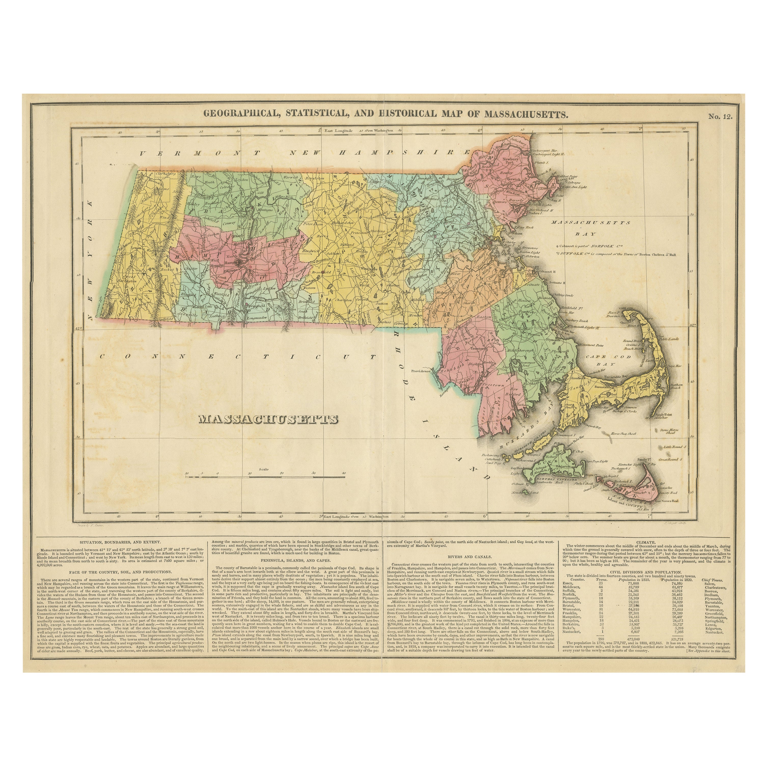
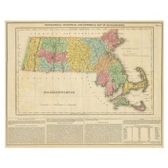
Antique Geographical, Historical and Statistical Map of Massachusetts, 1822
Located in Langweer, NL
This attractive map of Massachusetts presents a finely detailed overview of the state in the first quarter of the 19th century.
Transportation ...
Category
Antique 1820s Maps
Materials
Paper
$361 Sale Price
20% Off
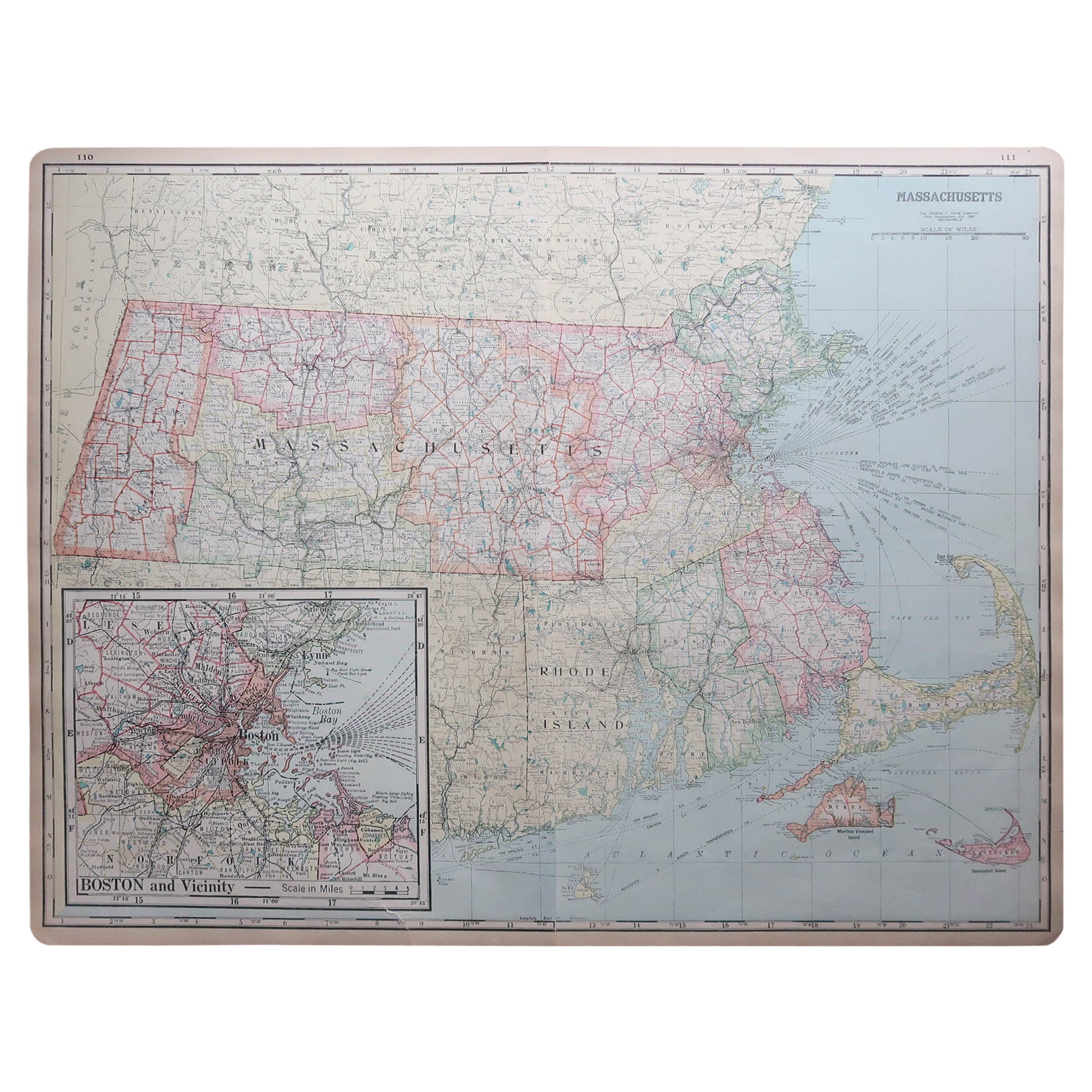
Large Original Antique Map of Massachusetts, USA, circa 1900
Located in St Annes, Lancashire
Fabulous map of Massachusetts
In 2 sheets. They can be joined but I have not done it
Original color
Engraved and printed by the George F. Cram ...
Category
Antique 1890s American Maps
Materials
Paper

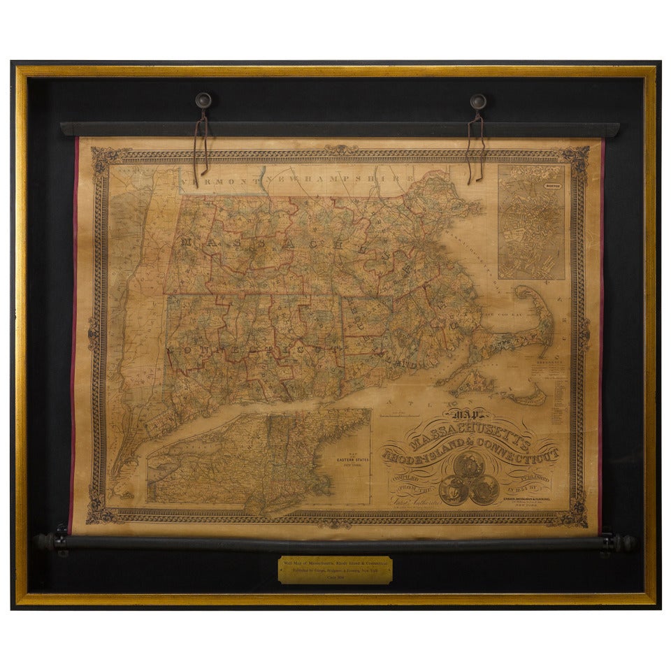
1854 Map of Massachusetts, Connecticut and Rhode Island, Antique Wall Map
Located in Colorado Springs, CO
This striking wall map was published in 1854 by Ensign, Bridgman & Fanning and has both full original hand-coloring and original hardware. This impression is both informative and highly decorative.
The states are divided into counties, outlined in red, green, and black, and subdivided into towns. Roads, canals, and railroad lines are prominently depicted, although they are not all labeled. The mapmakers also marked lighthouses, banks, churches, and prominent buildings, with a key at right. The map is an informative and comprehensive overview of the infrastructural development of New England prior to the Civil War. Physical geographies depicted include elevation, conveyed with hachure marks, rivers and lakes. The impression features an inset map of Boston...
Category
Antique 19th Century American Maps
Materials
Paper

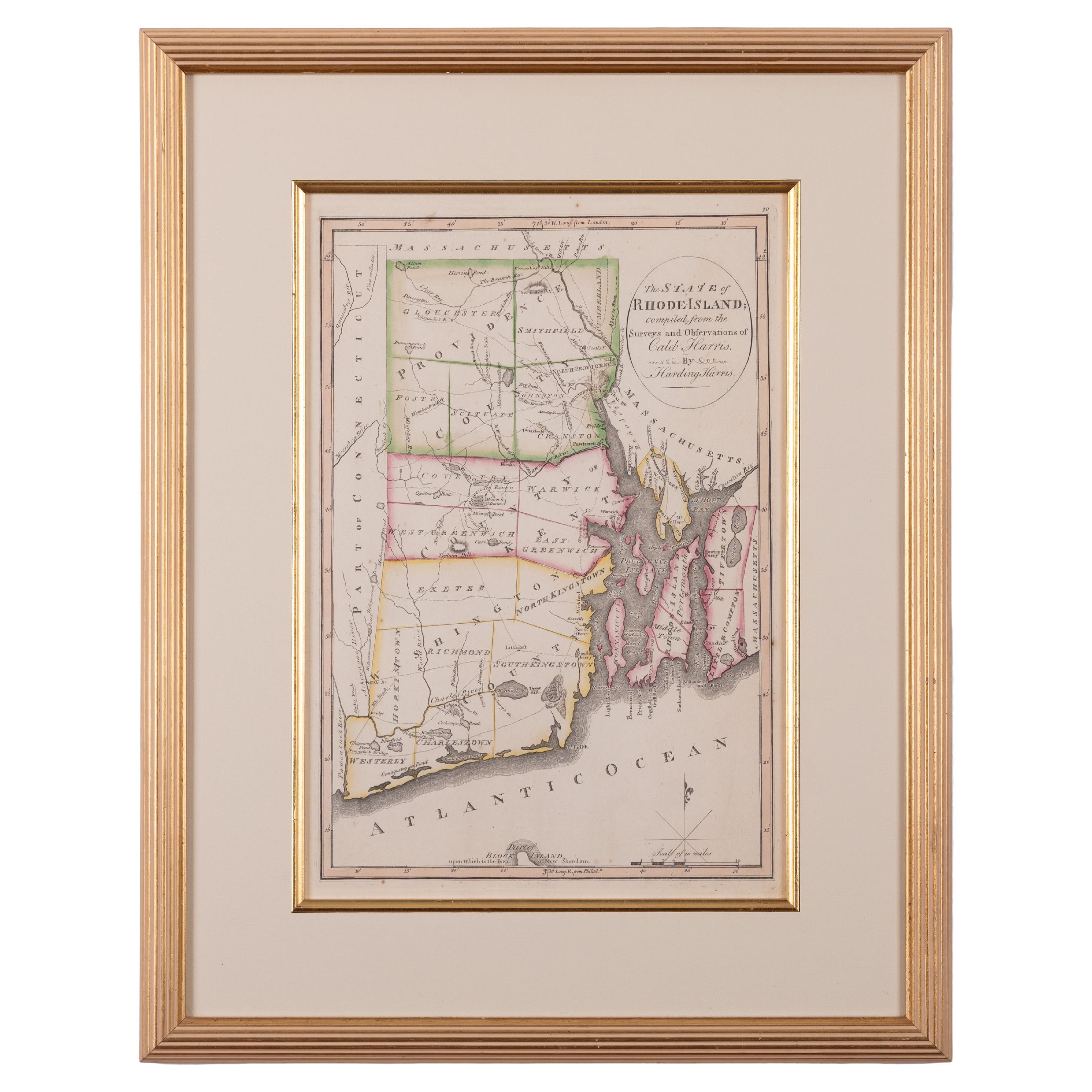
The State of Rhode Island Map - Caleb Harris & Harding Harris, 1818
Located in Savannah, GA
Mathew Carey
(American/Philadelphia, 1760-1839)
The State of Rhode Island compiled from the surveys and observations of Caleb Harris by Harding Harris. Engraving with hand-coloring...
Category
Antique 1810s American Other Prints
Materials
Glass, Wood, Paper