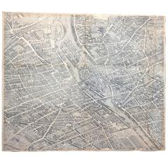
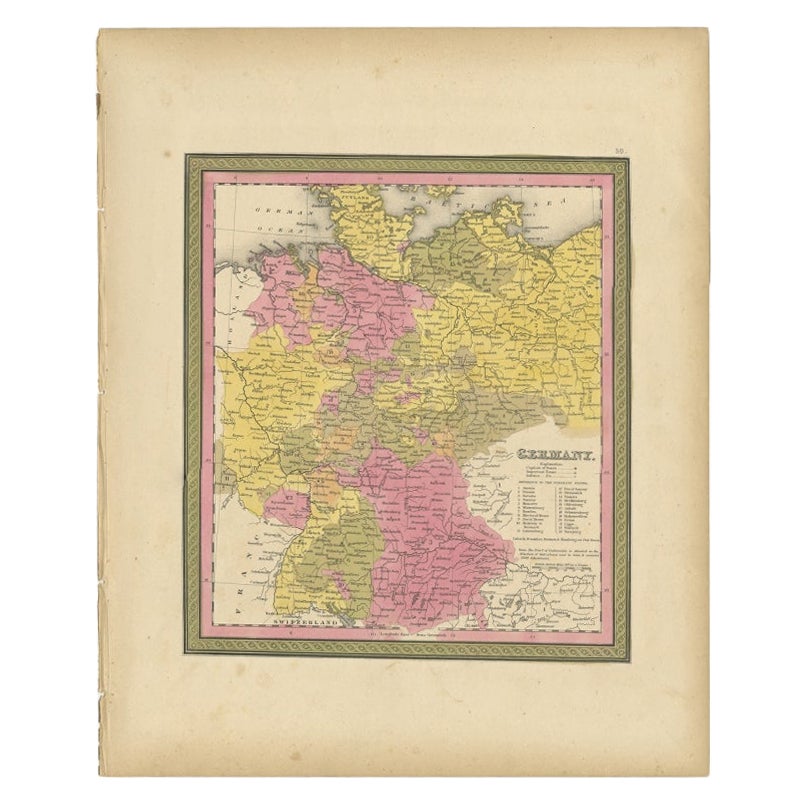
19th Century Copy of Paris Map Acrylic, circa 1739
View Similar Items


1 of 6
19th Century Copy of Paris Map Acrylic, circa 1739
About the Item
- Dimensions:Height: 60.25 in (153.04 cm)Width: 54.5 in (138.43 cm)Depth: 0.5 in (1.27 cm)
- Materials and Techniques:Acrylic
- Period:
- Date of Manufacture:19th Century
- Condition:Wear consistent with age and use. excellent for the age.
- Seller Location:Atlanta, GA
- Reference Number:Seller: 16-ART-0211stDibs: LU82727271523
You May Also Like
- Antique Map of Asia 'circa 1739'Located in Langweer, NLAntique map titled 'Asia Dividida em suas Regioens & Principaes Estados'. Rare and uncommon map of Asia. Signed '1739'. Source unknown, to be determined. ...Category
Antique Mid-18th Century Maps
MaterialsPaper
 $570 Sale Price35% Off
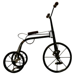
 - Vintage Copy of a 19th Century Pedal TricycleLocated in Chillerton, Isle of WightVintage copy of a 19th century pedal tricycle A delightful piece, this is a hand made copy, made some 60 years ago of a well known 19th century design...Category
Mid-20th Century Arts and Crafts Models and Miniatures
MaterialsIron
- Antique Map of the Arabian Peninsula by Franceschini, '1739'Located in Langweer, NLAntique map titled 'Conventus et Residentiae'. Rare map of the Arabian Peninsula. This map originates from 'Provinciarum et Conventum Fratrum Discalc...Category
Antique Mid-18th Century Maps
MaterialsPaper
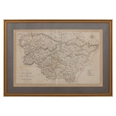
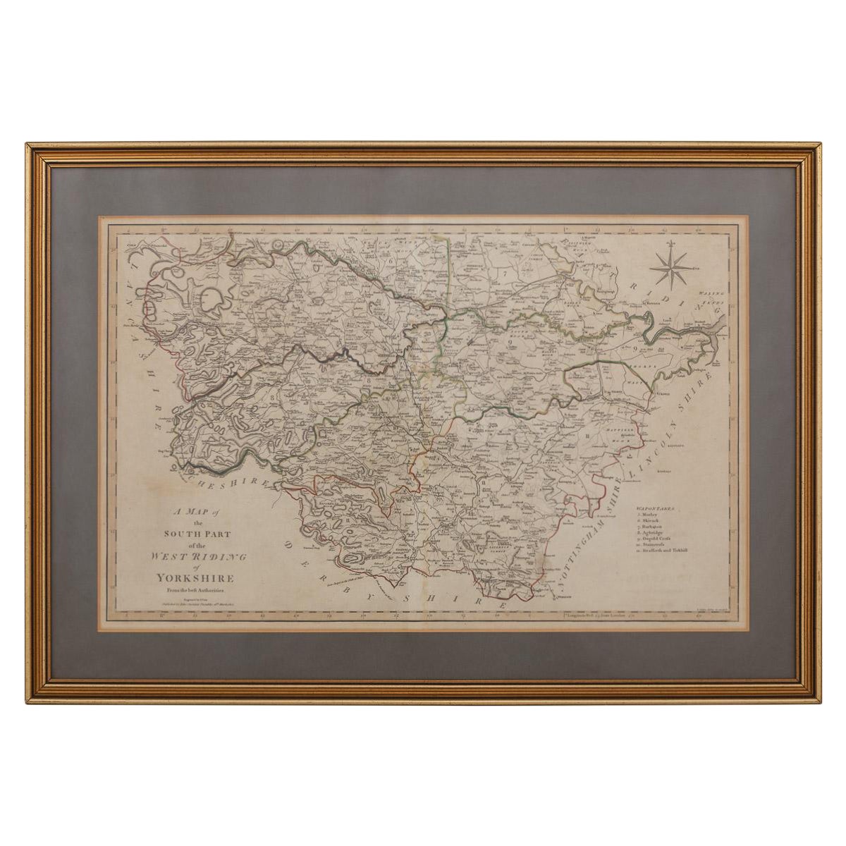
- 19th Century John Cary Map of South Part of West Riding of Yorkshire, circa 1805By John CaryLocated in Royal Tunbridge Wells, KentAntique 19th century British original John Cary sr (1755-1835) map of South part of the West Riding of Yorkshire, From the beft Authorities. Engraved J Car...Category
Antique 19th Century British Maps
MaterialsPaper
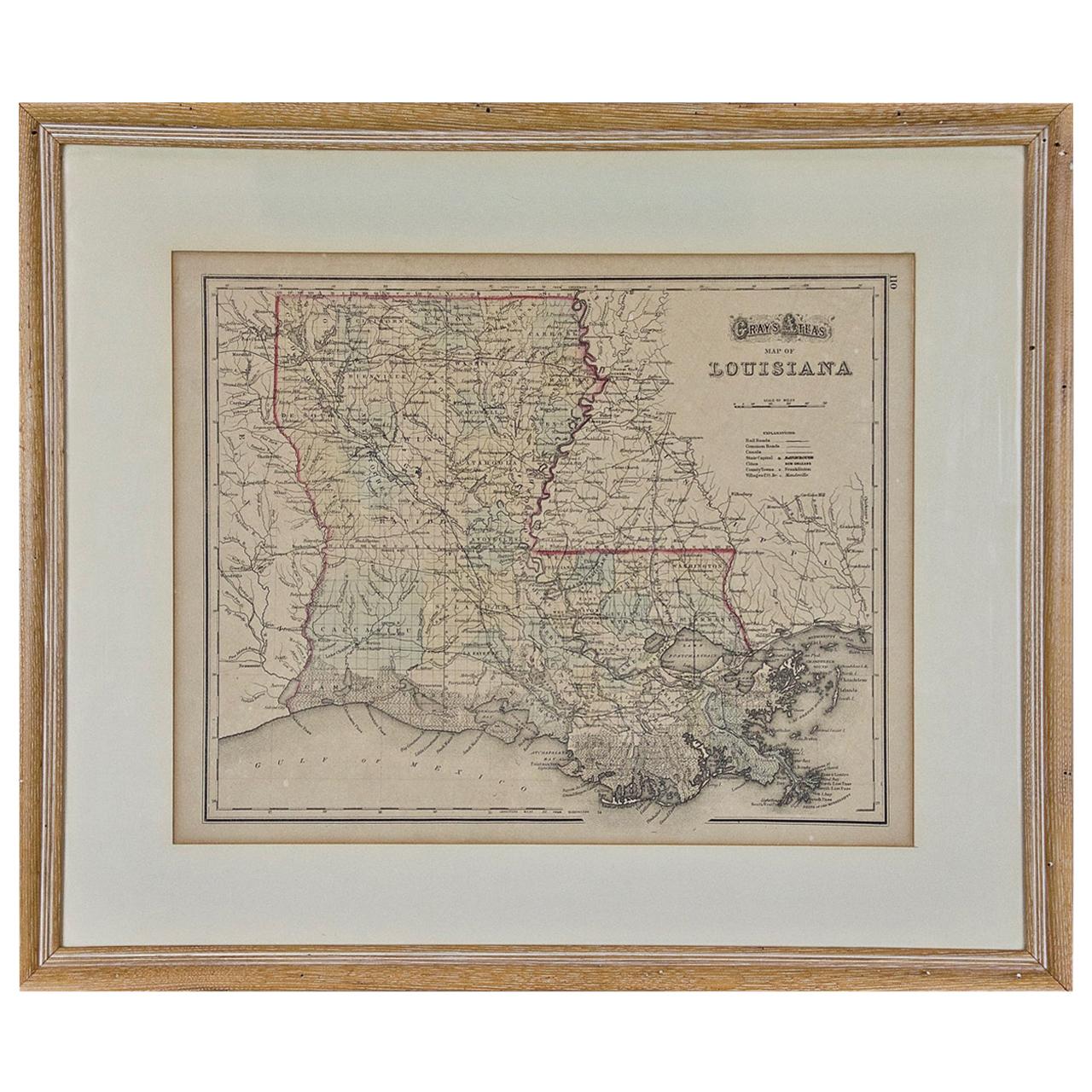
- Louisiana: A Framed 19th Century Map by O. W. GrayBy Gray and CoLocated in Alamo, CAThis framed 19th century map of the Louisiana territory was published in "Gray's Atlas of the United States with General Maps of the World, accompanied by Descriptions Geographical, Historical, Scientific and Statistica" published in 1873 in Philadelphia by O.W. Gray and Son and Stedman, Brown and Lyon. It is a highly detailed map of Louisiana...Category
Antique Mid-19th Century American Other Maps
MaterialsPaper
- Placide Poussielgue-Rusand, Paris, -19th centuryLocated in Säffle, SEPLACIDE-BENOIT-MARIE POUSSIELGUE-RUSAND (Paris 1824-1889 Paris) Chalice Placide Poussielgue-Rusand (1824-1889), was a gold & silversmith in Paris. He is known mainly for his litur...Category
Antique Late 19th Century French Neoclassical Religious Items
MaterialsSilver, Brass
 On Hold$7,454