Items Similar to Antique Map of Asia Showing the European Language Areas, c.1873
Want more images or videos?
Request additional images or videos from the seller
1 of 6
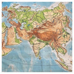
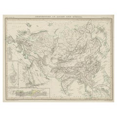
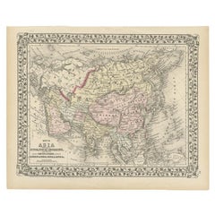
Antique Map of Asia Showing the European Language Areas, c.1873
About the Item
Antique map titled 'Asia'. Old map depicting the Asian continent. This map originates from 'School-Atlas van alle Deelen der Aarde'.
Artists and Engravers: Published by O. Petri, Rotterdam.
Condition: Good, general age-related toning. Split on folding line, please study image carefully.
Date: c.1873
Overall size: 33 x 26.8 cm.
Image size: 25.7 x 23.3 cm.
We sell original antique maps to collectors, historians, educators and interior decorators all over the world. Our collection includes a wide range of authentic antique maps from the 16th to the 20th centuries. Buying and collecting antique maps is a tradition that goes back hundreds of years. Antique maps have proved a richly rewarding investment over the past decade, thanks to a growing appreciation of their unique historical appeal. Today the decorative qualities of antique maps are widely recognized by interior designers who appreciate their beauty and design flexibility. Depending on the individual map, presentation, and context, a rare or antique map can be modern, traditional, abstract, figurative, serious or whimsical. We offer a wide range of authentic antique maps for any budget.
- Dimensions:Height: 10.56 in (26.8 cm)Width: 13 in (33 cm)Depth: 0 in (0.01 mm)
- Materials and Techniques:
- Period:
- Date of Manufacture:circa 1873
- Condition:
- Seller Location:Langweer, NL
- Reference Number:
About the Seller
5.0
Platinum Seller
These expertly vetted sellers are 1stDibs' most experienced sellers and are rated highest by our customers.
Established in 2009
1stDibs seller since 2017
1,932 sales on 1stDibs
Typical response time: <1 hour
- ShippingRetrieving quote...Ships From: Langweer, Netherlands
- Return PolicyA return for this item may be initiated within 14 days of delivery.
More From This SellerView All
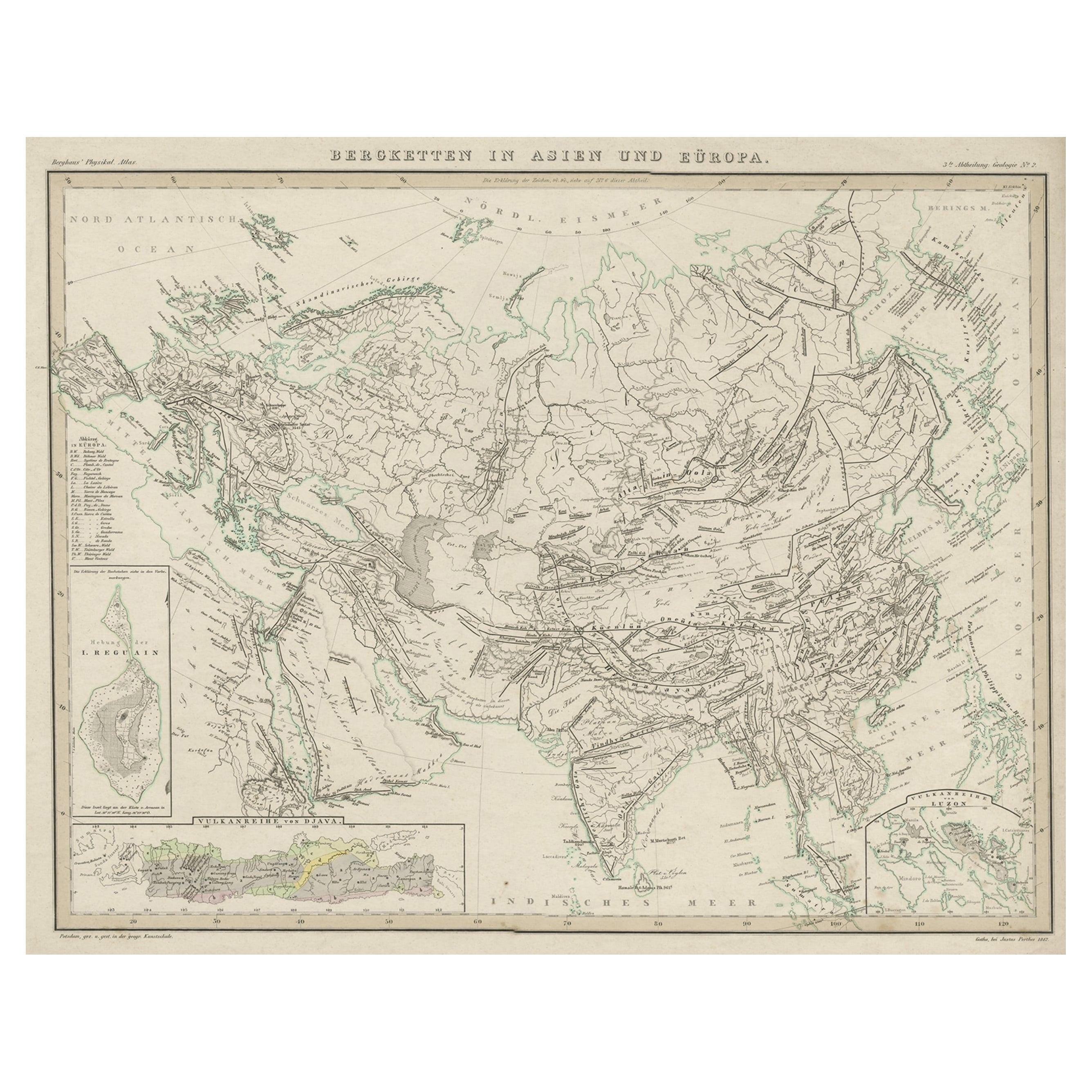
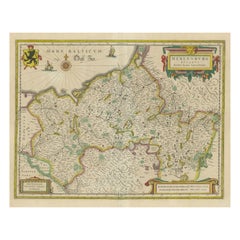
- Original Antique Map Showing the Mountain Ranges in Asia and Europe, 1849Located in Langweer, NLAntique map titled 'Bergketten in Asien und Eüropa'. Original antique map showing the mountain ranges in Asia and Europe. In outline color with inset maps of Java, Luzon, and Reguain...Category
Antique 1840s Maps
MaterialsPaper
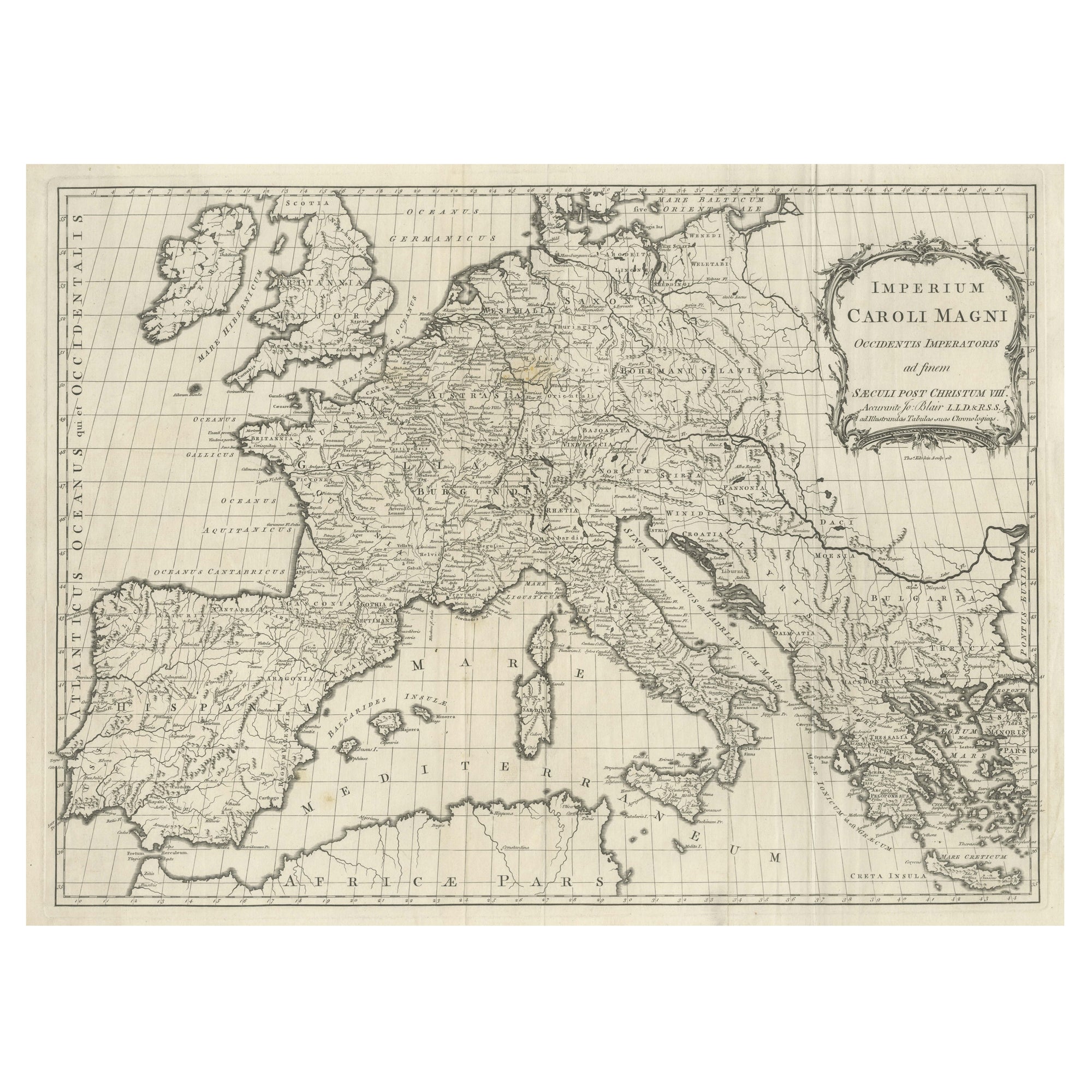
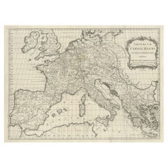
- Large Antique Map of Europe, Showing the Empire of CharlemagneLocated in Langweer, NLAntique map titled 'Imperium Caroli Magni (..)'. Large antique map of Europe, showing the Empire of Charlemagne in the 8th Century. Engraved by T. Kitchin. Published J. Blair, circa ...Category
Antique Late 18th Century Maps
MaterialsPaper
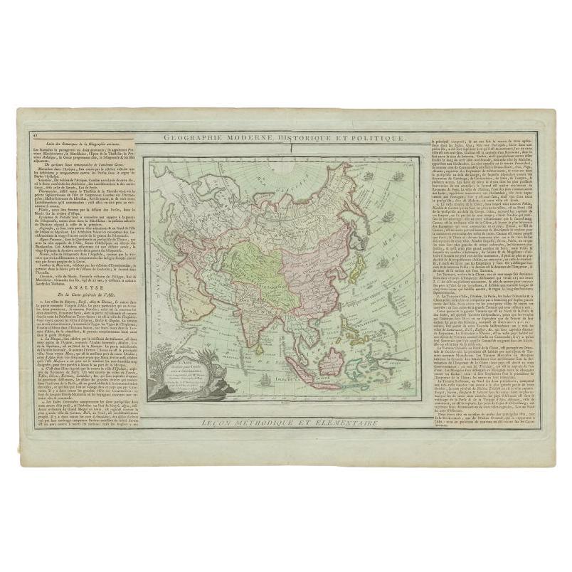
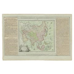
- Antique Map of Asia Showing all of Indonesia and the Marianas, 1790Located in Langweer, NLAntique map titled 'L'Asie dressee pour l'etude de la Geographie (..)'. Attractive map of Asia with an ornate cartouche and ships surrounding the coast. Extends to an incomplete New ...Category
Antique 18th Century Maps
MaterialsPaper
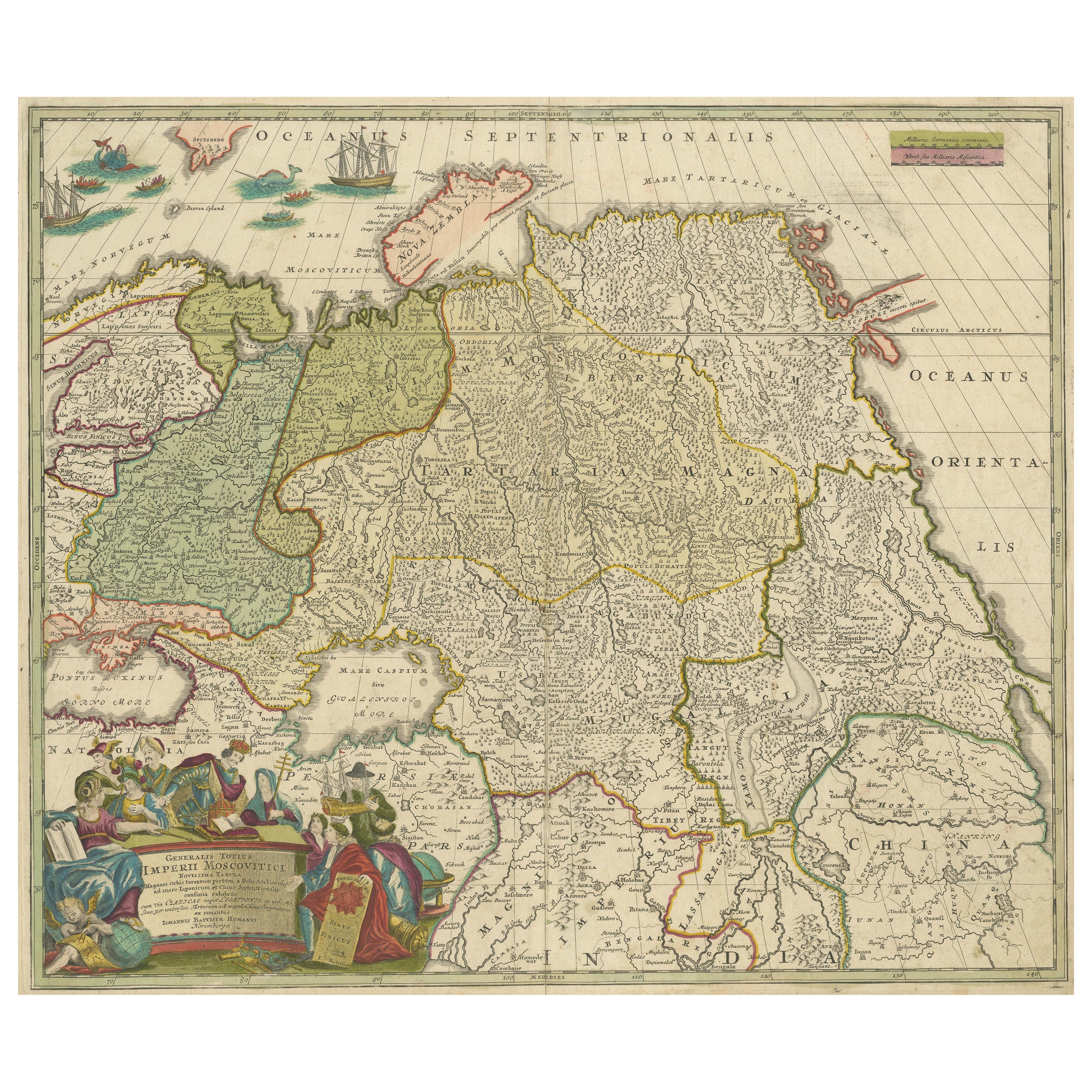
- Antique Map of Russia and Central Asia, showing the Northeast PassageLocated in Langweer, NLAntique map titled 'Generalis Totius Imperii Moscovitici (..)'. Decorative map of Russia and Central Asia, showing the Northeast Passage. The map covers the entirety of the Russian Empire at the time, stretching from the Arctic Circle in the north to the "Oceanus Orientalis" and the northern parts China (Chinae Septentrionalis confinia), Mongolia and India in the south. Published by J.B. Homann, circa 1730. Johann Baptist Homann was born 1664 in Oberkammlach. He founded his business 1702 in Nuremberg, Germany. After a long period of Dutch domination in map publishing, the Homann publishing house became the most important map...Category
Antique Mid-18th Century Maps
MaterialsPaper
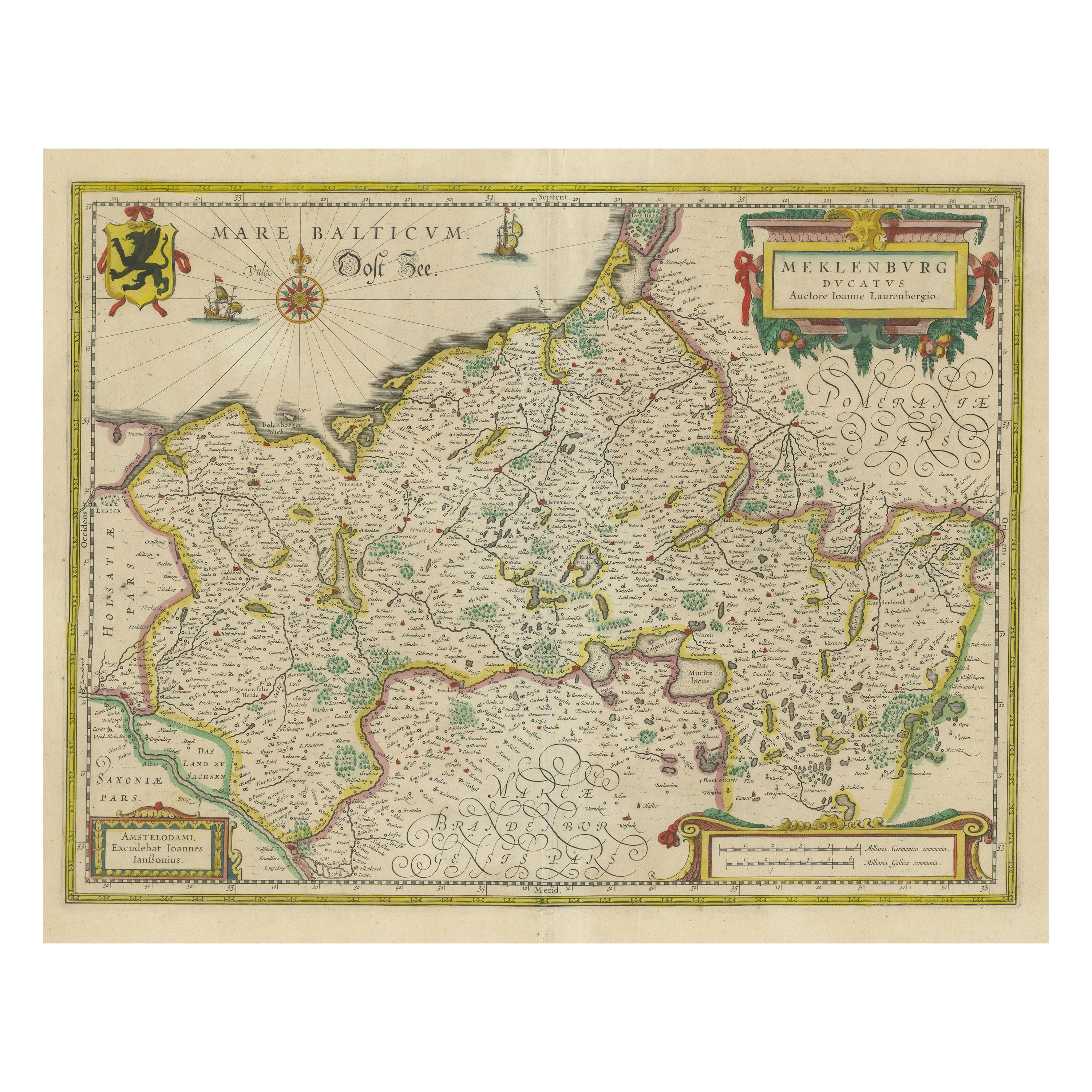
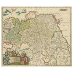
- Antique Map of Northern Germany, showing the area of Mecklenburg-VorpommernLocated in Langweer, NLAntique map titled 'Meklenburg Ducatus'. Attractive map of northern Germany, showing the area of Mecklenburg-Vorpommern. Published by J. Janssonius, circa 1630. Jan Janssonius (als...Category
Antique Mid-17th Century Maps
MaterialsPaper
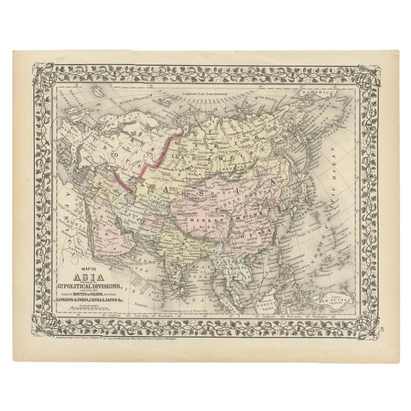
- Antique Map of Asia Showing Its Political Divisions, 1874Located in Langweer, NLAntique map titled 'Map of Asia showing its Gt. Political Divisions and also the various routes of Travel between London & India, China & Japan & c'. This map covers from the Arabian...Category
Antique 19th Century Maps
MaterialsPaper
You May Also Like
- Original Antique Map of Asia. C.1780Located in St Annes, LancashireGreat map of Asia Copper-plate engraving Published C.1780 Two small worm holes to right side of map Unframed.Category
Antique Early 1800s English Georgian Maps
MaterialsPaper

- Huge Europe and Asia Vintage Wall MapLocated in San Diego, CAA huge Europe and Asia vintage wall map, circa 1950s. The map is in fair vintage condition and measures 78"W x 73"H". #2863Category
Mid-20th Century American Maps
MaterialsPaper
- Antique Hand Colored Framed Map of EuropeLocated in West Palm Beach, FLAntique reproduction copied from an edition dated 1595 by Ortelius.Category
Antique Late 19th Century Maps
- 1873 "Map of the States of California and Nevada" by Chas. Drayton GibbesLocated in Colorado Springs, COPresented is Warren Holt and Charles Drayton Gibbes' 1873 “Map of California and Nevada.” This map is considered to be one of the finest large-scale ...Category
Antique 1870s American Maps
MaterialsPaper
- Original Antique Map of South East Asia, Arrowsmith, 1820Located in St Annes, LancashireGreat map of South East Asia Drawn under the direction of Arrowsmith Copper-plate engraving Published by Longman, Hurst, Rees, Orme and Brown, 1820 Unframed.Category
Antique 1820s English Maps
MaterialsPaper
- 1775 A Dictionary of the English LanguageBy Samuel JohnsonLocated in Bath, GBAn important edition of Samuel Johnson's dictionary of the English language, being the first complete edition to be printed in Ireland. The first edition thus, being the first quart...Category
Antique 1770s British Books
MaterialsPaper