Items Similar to Antique Map of Asia with vignettes of Petra, Tartars, Sun-Birds of India, 1851


Want more images or videos?
Request additional images or videos from the seller
1 of 5
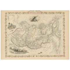
Antique Map of Asia with vignettes of Petra, Tartars, Sun-Birds of India, 1851
About the Item
Antique map of the Asian continent titled 'Asia'. Beautiful map with decorative vignettes of Petra, Tartars, Russian Peasants and Sun-Birds of India. Originates from 'The Illustrated Atlas, And Modern History Of The World Geographical, Political, Commercial & Statistical, Edited By R. Montgomery Martin'. Published; John Tallis London, New York, Edinburgh & Dublin. 1851. Drawn and Engraved by J. Rapkin.
Artists and Engravers: John Tallis (1817-1876) was a British map publisher. Born in the Midlands, Tallis came to London in the 1840s. Tallis began his London career with a series of remarkable London street views. He began a partnership with a Frederick Tallis, possibly his brother, but their collaboration ended in 1849. For the Great Exhibition of 1851, Tallis published the Illustrated World Atlas, one of the last series of decorative world maps ever produced. The maps were engraved by John Rapkin, a skilled artisan. The maps were later reissued by the London Printing & Publishing Company, who left the Tallis imprint intact, thus ensuring his enduring fame. In 1858, he began publication of the popular Illustrated News of the World and National Portrait Gallery of Eminent Personages, selling it in 1861 (it ceased publication in 1863).
Condition: Good, few marginal tears. Please study image carefully.
Date: 1851
Overall size: 36 x 28 cm.
Image size: 32 x 25 cm.
We sell original antique maps to collectors, historians, educators and interior decorators all over the world. Our collection includes a wide range of authentic antique maps from the 16th to the 20th centuries. Buying and collecting antique maps is a tradition that goes back hundreds of years. Antique maps have proved a richly rewarding investment over the past decade, thanks to a growing appreciation of their unique historical appeal. Today the decorative qualities of antique maps are widely recognized by interior designers who appreciate their beauty and design flexibility. Depending on the individual map, presentation, and context, a rare or antique map can be modern, traditional, abstract, figurative, serious or whimsical. We offer a wide range of authentic antique maps for any budget.
- Dimensions:Height: 11.03 in (28 cm)Width: 14.18 in (36 cm)Depth: 0 in (0.01 mm)
- Materials and Techniques:
- Period:
- Date of Manufacture:1851
- Condition:
- Seller Location:Langweer, NL
- Reference Number:Seller: BG-094631stDibs: LU3054326091122
About the Seller
5.0
Platinum Seller
These expertly vetted sellers are 1stDibs' most experienced sellers and are rated highest by our customers.
Established in 2009
1stDibs seller since 2017
1,933 sales on 1stDibs
Typical response time: <1 hour
- ShippingRetrieving quote...Ships From: Langweer, Netherlands
- Return PolicyA return for this item may be initiated within 14 days of delivery.
More From This SellerView All
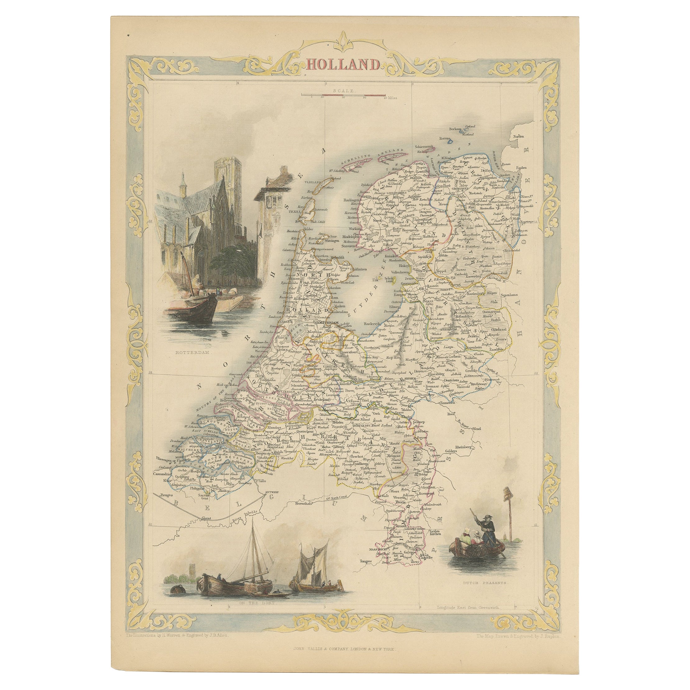
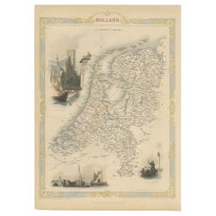
- Antique Map of Holland with Colorful Vignettes, 1851Located in Langweer, NLAntique map titled 'Holland'. Decorative map of Holland. Includes vignettes of Rotterdam, Dutch Peasants and a boating scene on the Dort, the Netherlands. Originates from 'Th...Category
Antique 19th Century Maps
MaterialsPaper
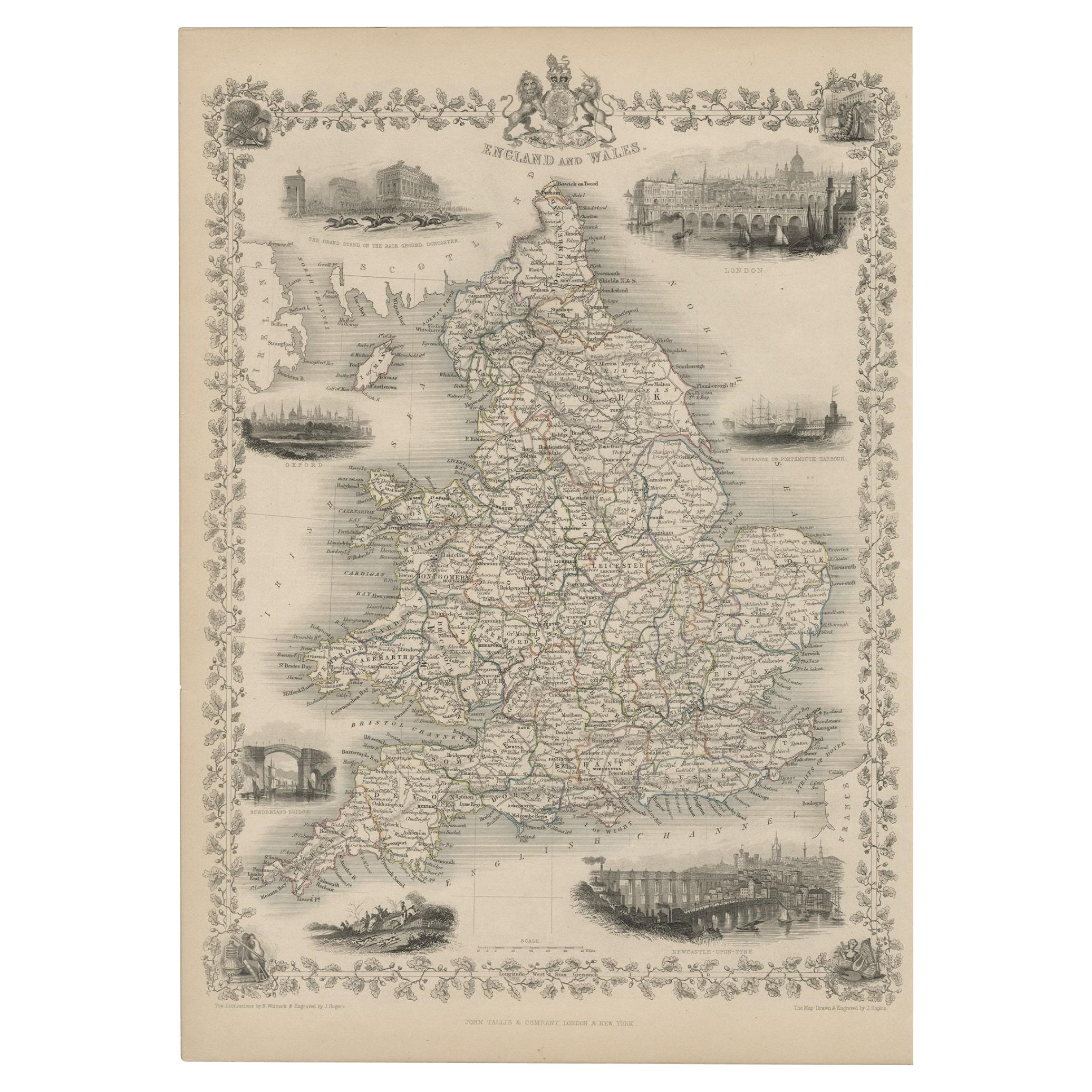
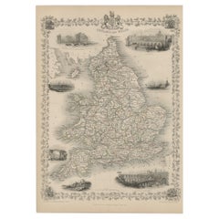
- Antique Map of England and Wales with Decorative Vignettes, 1851Located in Langweer, NLAntique map titled ‘England and Wales’. Includes decorative vignettes titled The grand stand on the race ground Doncaster, London, Oxford, Entrance to Portsmouth Harbour, Sunderland ...Category
Antique 19th Century Maps
MaterialsPaper
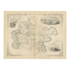
- Old Engraved Map of Hungary with Decorative Vignettes, 1851Located in Langweer, NLAntique map titled Hungary. Includes decorative vignettes titled Hungarian Peasants, Pesth and the Fortress of Buda, on the Danube and Hungarian Nobles. Originates from 'The Illustrated Atlas, And Modern History Of The World Geographical, Political, Commercial & Statistical, Edited By R. Montgomery Martin'. Published; John Tallis London, New York, Edinburgh & Dublin. 1851. Drawn and Engraved by J. Rapkin. Artists and Engravers: John Tallis (1817-1876) was a British map publisher. Born in the Midlands, Tallis came to London in the 1840s. Tallis began his London career with a series of remarkable London street views. He began a partnership with a Frederick Tallis, possibly his brother, but their collaboration ended in 1849. For the Great Exhibition of 1851, Tallis published the Illustrated World Atlas, one of the last series of decorative world maps ever produced. The maps were engraved by John Rapkin, a skilled artisan. The maps were later reissued by the London Printing & Publishing Company, who left the Tallis imprint intact, thus ensuring his enduring fame. In 1858, he began publication of the popular Illustrated News of the World...Category
Antique 19th Century Maps
MaterialsPaper
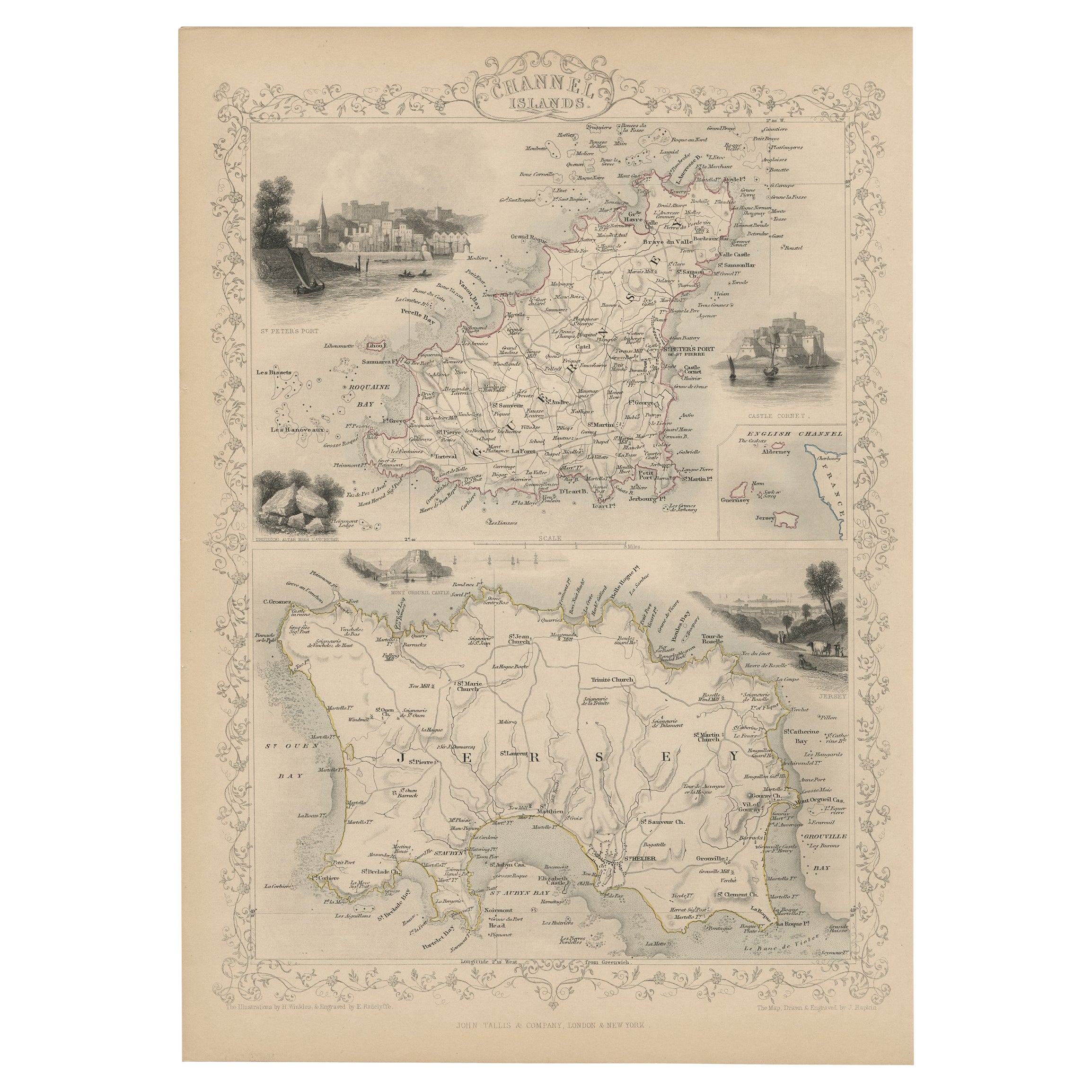
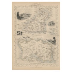
- Original Antique Map of the Channel Islands, Incl. Decorative Vignettes, 1851Located in Langweer, NLAntique map titled ‘Channel Islands’. Includes decorative vignettes titled St. Peters Port, Castle Cornet, Druidical altar near Lancresse, Mont Orgueil Castle and Jersey. Originates from 'The Illustrated Atlas, And Modern History Of The World Geographical, Political, Commercial & Statistical, Edited By R. Montgomery Martin'. Published; John Tallis London, New York, Edinburgh & Dublin. 1851. Drawn and Engraved by J. Rapkin. Artists and engravers: John Tallis (1817-1876) was a British map...Category
Antique 1850s Maps
MaterialsPaper
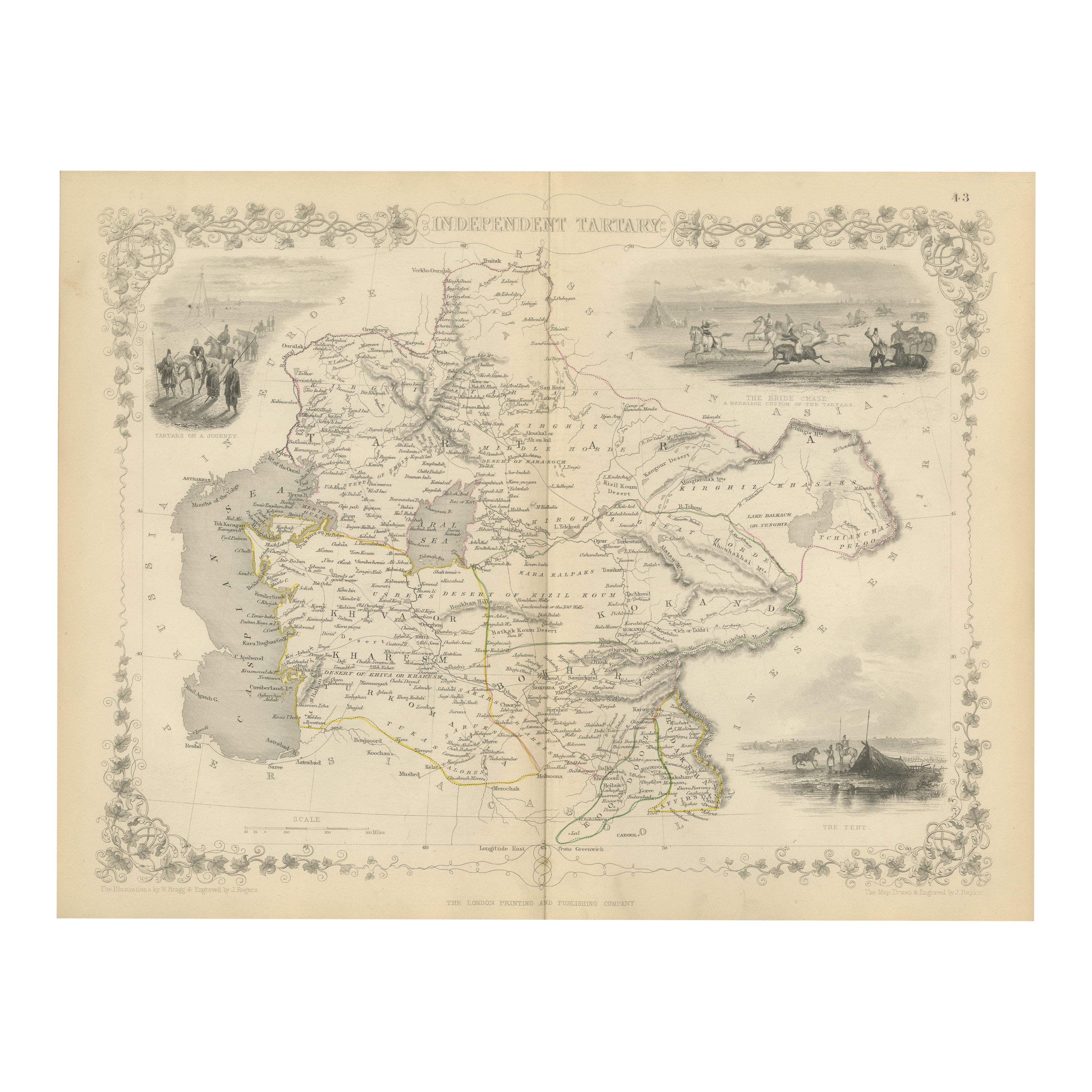
- Map of Independent Tartary with Vignettes of the Region's Culture, 1851Located in Langweer, NLThe map of Independent Tartary is part of the collection by John Tallis & Company, which were unique for their elaborate decorative elements and detailed illustrations. **The Maker ...Category
Antique 1850s Maps
MaterialsPaper
- Antique Map of Russia in Asia by Tallis, '1851'Located in Langweer, NLAntique map titled 'Russia in Asia'. Map of Russia in Asia. Showing vignettes of a polar hunting scene, Skorskarskoi Pagost, Troitsk and Kamchatkan Dogs. Originates from 'The Illustr...Category
Antique Mid-19th Century Maps
MaterialsPaper

You May Also Like
- Large Original Vintage Map of S.E Asia, with a Vignette of SingaporeLocated in St Annes, LancashireGreat map of South East Asia Original color. Good condition Published by Alexander Gross Unframed.Category
Vintage 1920s English Maps
MaterialsPaper
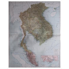
- Antique French Map of Asia Including China Indoneseia India, 1783Located in Amsterdam, Noord HollandVery nice map of Asia. 1783 Dedie au Roy. Additional information: Country of Manufacturing: Europe Period: 18th century Qing (1661 - 1912) Condition: Overall Condition B (Good Used)...Category
Antique 18th Century European Maps
MaterialsPaper
- Antique 1803 Italian Map of Asia Including China Indoneseia IndiaLocated in Amsterdam, Noord HollandAntique 1803 Italian Map of Asia Including China Indoneseia India Very nice map of Asia. 1803. Additional information: Type: Map Country of Manufacturing: Europe Period: 19th centu...Category
Antique 19th Century European Maps
MaterialsPaper
- Original Antique Map of India. C.1780Located in St Annes, LancashireGreat map of India Copper-plate engraving Published C.1780 Three small worm holes to right side of map and one bottom left corner Unframed.Category
Antique Early 1800s English Georgian Maps
MaterialsPaper

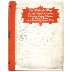
- Vinland Map and the Tartar RelationBy R.A. Skelton, Thomas E. Marston, George D. PainterLocated in valatie, NYThe Vinland Map and the Tartar Relation. New Haven: Yale University Press, 1965. First edition third printing hardcover with dust jacket. 291 pp. A historical cartography of the Vinl...Category
20th Century American Books
MaterialsPaper
- Original Antique Map of Asia. C.1780Located in St Annes, LancashireGreat map of Asia Copper-plate engraving Published C.1780 Two small worm holes to right side of map Unframed.Category
Antique Early 1800s English Georgian Maps
MaterialsPaper


Recently Viewed
View AllMore Ways To Browse
Antique Portrait India
Maps Tallis
Antique Maps Dublin
Martin Brothers Bird
Antique Map Of Dublin
Antique Texas Furniture
Texas Antique Furniture
Cross Decor
American West Antiques
Antique Furniture Long Island
Antique Maps London
London Antique Map
London Map Antique
Antique London Maps
Antique London Map
London Antique Maps
Antique Map London
Ship Map