Items Similar to Antique Map of Cheshire, North West England


Want more images or videos?
Request additional images or videos from the seller
1 of 6
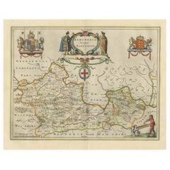
Antique Map of Cheshire, North West England
About the Item
Antique map titled 'Cestria comitatus Palatinus'. Original old map of Cheshire, Northwest England. Published circa 1665 by J. Blaeu. Willem Jansz. Blaeu and his son Joan Blaeu are the most widely known cartographic publishers of the seventeenth century.
- Creator:Joan (Johannes) Blaeu (Artist)
- Dimensions:Height: 21.97 in (55.8 cm)Width: 25.52 in (64.8 cm)Depth: 0.02 in (0.5 mm)
- Materials and Techniques:
- Period:Mid-17th Century
- Date of Manufacture:c.1665
- Condition:Wear consistent with age and use. General age-related toning. Original folding line. Minor wear and soiling. Latin text on verso. Please study image carefully.
- Seller Location:Langweer, NL
- Reference Number:
About the Seller
5.0
Platinum Seller
These expertly vetted sellers are 1stDibs' most experienced sellers and are rated highest by our customers.
Established in 2009
1stDibs seller since 2017
1,929 sales on 1stDibs
Typical response time: <1 hour
- ShippingRetrieving quote...Ships From: Langweer, Netherlands
- Return PolicyA return for this item may be initiated within 14 days of delivery.
More From This SellerView All
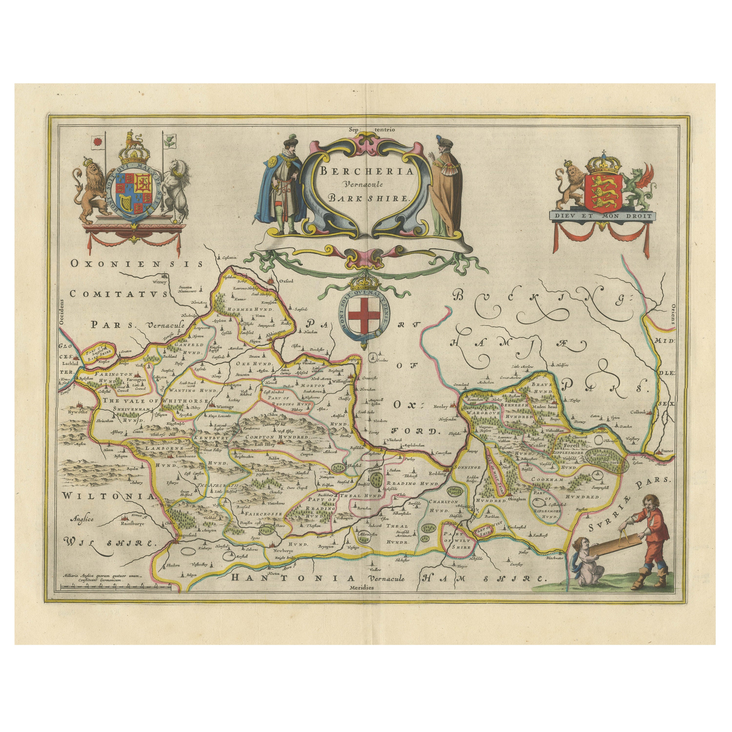
- Antique Map of Berkshire, South East EnglandBy Joan (Johannes) BlaeuLocated in Langweer, NLAntique map titled 'Bercheria vernacule Barkshire'. Original old map of Berkshire, a historic county in South East England. Published circa 1665 by J. Blaeu. Willem Jansz. Blaeu and ...Category
Antique Mid-17th Century Maps
MaterialsPaper
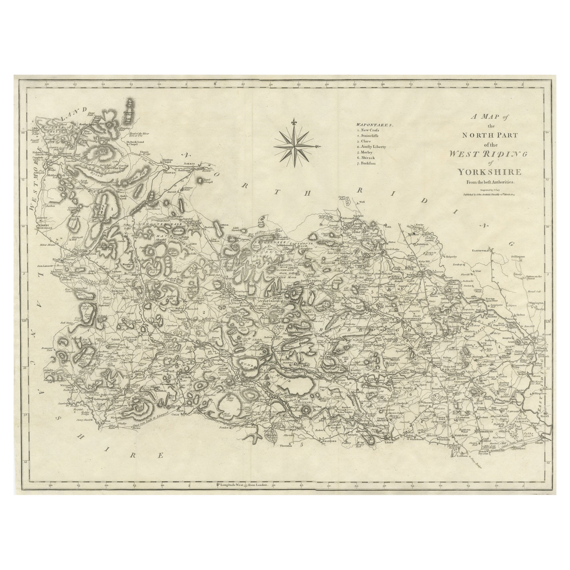
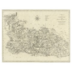
- Large Antique County Map of the West Riding of Yorkshire 'North Part', EnglandLocated in Langweer, NLAntique map titled 'A Map of the North Part of the West Riding of Yorkshire from the best Authorities'. Original old county map of the north part of the West Riding of Yorkshire, Eng...Category
Antique Early 19th Century Maps
MaterialsPaper
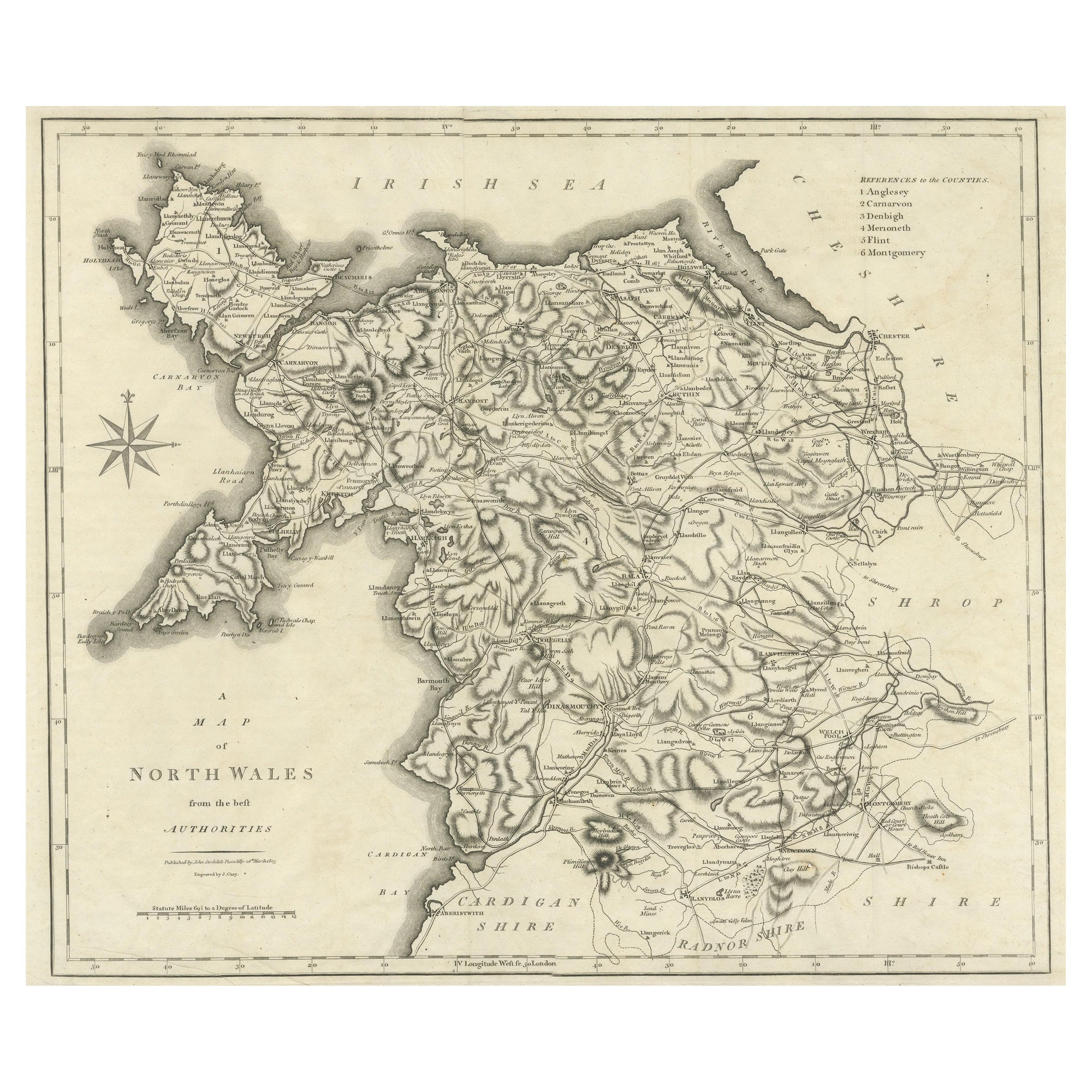
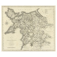
- Large Antique County Map of North Wales, EnglandLocated in Langweer, NLAntique map titled 'A Map of North Wales from the best Authorities'. Original old county map of North Wales, England. Engraved by John Cary. Originates from 'New British Atlas' by Jo...Category
Antique Early 19th Century Maps
MaterialsPaper
- Antique Map of North America Including the West IndiesLocated in Langweer, NLOriginal antique map titled 'Nord-America'. Old map of North America and the West Indies. Also showing British Overseas Territories and Hudson Bay. This map originates from Stiel...Category
Antique Mid-19th Century Maps
MaterialsPaper
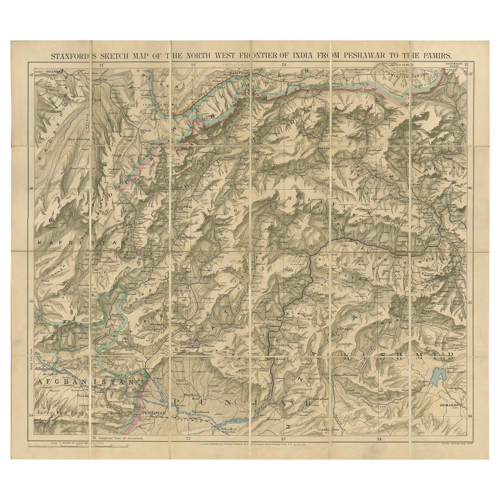
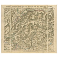
- Antique Map of the North-West Frontier by Stanford, 1895By E. StanfordLocated in Langweer, NLAntique map titled 'Stanford's Sketch Map of the North West Frontier of India from Peshawar to the Pamirs'. Linen backed folding map of the North-West Frontier of India from Peshawar...Category
Antique Late 19th Century Maps
MaterialsLinen, Paper
- Antique Map of the West Coast of North America & North East Coast of Asia '1772'Located in Langweer, NLAntique map titled 'Carte des nouvelles decouvertes/ Extrait d'une Carte Japonoise de l'Universe'. Map of the West Coast of North America and North-East Coast of Asia, based upon Buache's report of the various Russian Discoveries between 1731 and 1742 including the various explorers routes and notes. The lower map is based upon a Japanese map...Category
Antique Late 18th Century Maps
MaterialsPaper


You May Also Like
- Large Antique 1859 Map of North AmericaLocated in Sag Harbor, NYThis Map was made by Augustus Mitchell in 1859 It is in amazing condition for being 163 years old. This price is for the rolled up easy to ship version of this piece. I will be Frami...Category
Antique Mid-19th Century American Maps
MaterialsCanvas, Paper

- Old Horizontal Map of EnglandBy TassoLocated in Alessandria, PiemonteST/520 - Old rare Italian map of England, dated 1826-1827 - by Girolamo Tasso, editor in Venise, for the atlas of M.r Le-Sage.Category
Antique Early 19th Century Italian Other Prints
MaterialsPaper
- Original Antique English County Map, North Yorkshire, J & C Walker, 1851Located in St Annes, LancashireGreat map of North Yorkshire Original colour By J & C Walker Published by Longman, Rees, Orme, Brown & Co. 1851 Unframed.Category
Antique 1850s English Other Maps
MaterialsPaper
- Original Antique English County Map - West Yorkshire. J & C Walker. 1851Located in St Annes, LancashireGreat map of The West Riding of Yorkshire Original colour By J & C Walker Published by Longman, Rees, Orme, Brown & Co. 1851 Unframed.Category
Antique 1850s English Other Maps
MaterialsPaper
- New Map of North America from the Latest Discoveries, 1763Located in Philadelphia, PAA fine antique 18th century map of the North American seaboard. Entitled "A New Map of North America from the Latest Discoveries 1763". By the Cartographer/Engraver - John Spil...Category
Antique Mid-18th Century English Georgian Maps
MaterialsPaper
- Antique Map of Principality of MonacoBy Antonio Vallardi EditoreLocated in Alessandria, PiemonteST/619 - "Old Geographical Atlas of Italy - Topographic map of ex-Principality of Monaco" - ediz Vallardi - Milano - A somewhat special edition ---Category
Antique Late 19th Century Italian Other Prints
MaterialsPaper


Recently Viewed
View AllMore Ways To Browse
Cheshire Antique Map
Antique Map Bahamas
Antique Map Ontario
Antique Maps Ontario
Map Lebanon
Antique Map Montreal
Antique Maps San Diego
Lebanon Antique Map
Montreal Map
Antique Furniture Perth Australia
Antique Maps Perth
Barbados Map
Antique Map Connecticut
Antique Map Of Republic Of Texas
Antique Route 66
Giovanni Maria Cassini On Sale
Antique Map Cleveland
Antique Maps Washington Dc