Items Similar to Antique Map of Northern Palestine with The Tribes of Israel. Dutch, 1763


Want more images or videos?
Request additional images or videos from the seller
1 of 10
Antique Map of Northern Palestine with The Tribes of Israel. Dutch, 1763
$498.03
£370.25
€420
CA$690.18
A$769.42
CHF 401.29
MX$9,304.11
NOK 5,044.36
SEK 4,772.97
DKK 3,197.57
About the Item
Antique Map of Northern Palestine with Tribal Divisions, Bachiene, 1763
The cartouche bears the title: “’t Noordelyke Gedeelte van het Geheel Palestina Benevens het Noordelyk en Zuidelyk deel van de Overjordaanse Landen der twaalf stammen Israëls” — translated as “The Northern Part of the Whole of Palestine, together with the Northern and Southern part of the lands beyond the Jordan of the twelve tribes of Israel.”
This detailed 18th-century engraved map shows the northern section of biblical Palestine and the tribal allotments of Israel. Prepared for W\.A. Bachiene’s Historische en Geographische Beschryving van het Oude en Nieuwe Testament, published in the Netherlands around 1763, the map was engraved by F. de Lindeman. It is part of a series of biblical maps designed to illustrate the geography of the Holy Land in relation to the Scriptures.
The map highlights the tribal territories of Asher, Naphtali, Zebulon, Issachar, and Manasseh, among others. The Sea of Galilee (Meer van Genezareth) is clearly shown, as well as rivers, mountains, and numerous biblical towns and regions. The left portion of the sheet is filled with the Mediterranean Sea, labeled in Dutch as De Middelandsche Zee, De Groote Zee, or De Achterste Zee. The map is framed with a neatline and features a decorative rococo-style cartouche adorned with floral garlands and scrolls.
Bachiene (1712–1783), a Dutch Protestant theologian and geographer, produced these maps to accompany his historical and geographical commentary on the Bible. They were intended as visual aids for both scholarly and religious audiences, combining biblical study with Enlightenment-era cartography. The engravings by Lindeman are valued for their clarity, precision, and decorative style, making them sought after by collectors of maps of the Holy Land and Judaica.
Condition report: Good condition with a strong impression. Light toning and minor age-related spots, mostly in margins and folding line. Central fold as issued. Plate mark visible.
Framing tips: This map is well suited to a simple black or dark wood frame with a cream mat, emphasizing the engraved lines and aged paper. A gold-toned frame with a soft off-white mat would enhance the rococo cartouche and lend a more formal presentation.
Technique: Engraving
Maker: F. de Lindeman (engraver), W\.A. Bachiene (author), Netherlands, c.1763
- Dimensions:Height: 15.4 in (39.1 cm)Width: 19.1 in (48.5 cm)Depth: 0 in (0.01 mm)
- Materials and Techniques:Paper,Engraved
- Place of Origin:
- Period:
- Date of Manufacture:1763
- Condition:Condition report: Good condition with a strong impression. Light toning and minor age-related spots, mostly in margins and folding line. Central fold as issued. Plate mark visible.
- Seller Location:Langweer, NL
- Reference Number:Seller: PCT-619371stDibs: LU3054346409032
About the Seller
5.0
Recognized Seller
These prestigious sellers are industry leaders and represent the highest echelon for item quality and design.
Platinum Seller
Premium sellers with a 4.7+ rating and 24-hour response times
Established in 2009
1stDibs seller since 2017
2,589 sales on 1stDibs
Typical response time: <1 hour
- ShippingRetrieving quote...Shipping from: Langweer, Netherlands
- Return Policy
Authenticity Guarantee
In the unlikely event there’s an issue with an item’s authenticity, contact us within 1 year for a full refund. DetailsMoney-Back Guarantee
If your item is not as described, is damaged in transit, or does not arrive, contact us within 7 days for a full refund. Details24-Hour Cancellation
You have a 24-hour grace period in which to reconsider your purchase, with no questions asked.Vetted Professional Sellers
Our world-class sellers must adhere to strict standards for service and quality, maintaining the integrity of our listings.Price-Match Guarantee
If you find that a seller listed the same item for a lower price elsewhere, we’ll match it.Trusted Global Delivery
Our best-in-class carrier network provides specialized shipping options worldwide, including custom delivery.More From This Seller
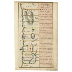
View AllHand-Colored Dutch Map of Ancient Israel Divided by the Twelve Tribes – c.1730
Located in Langweer, NL
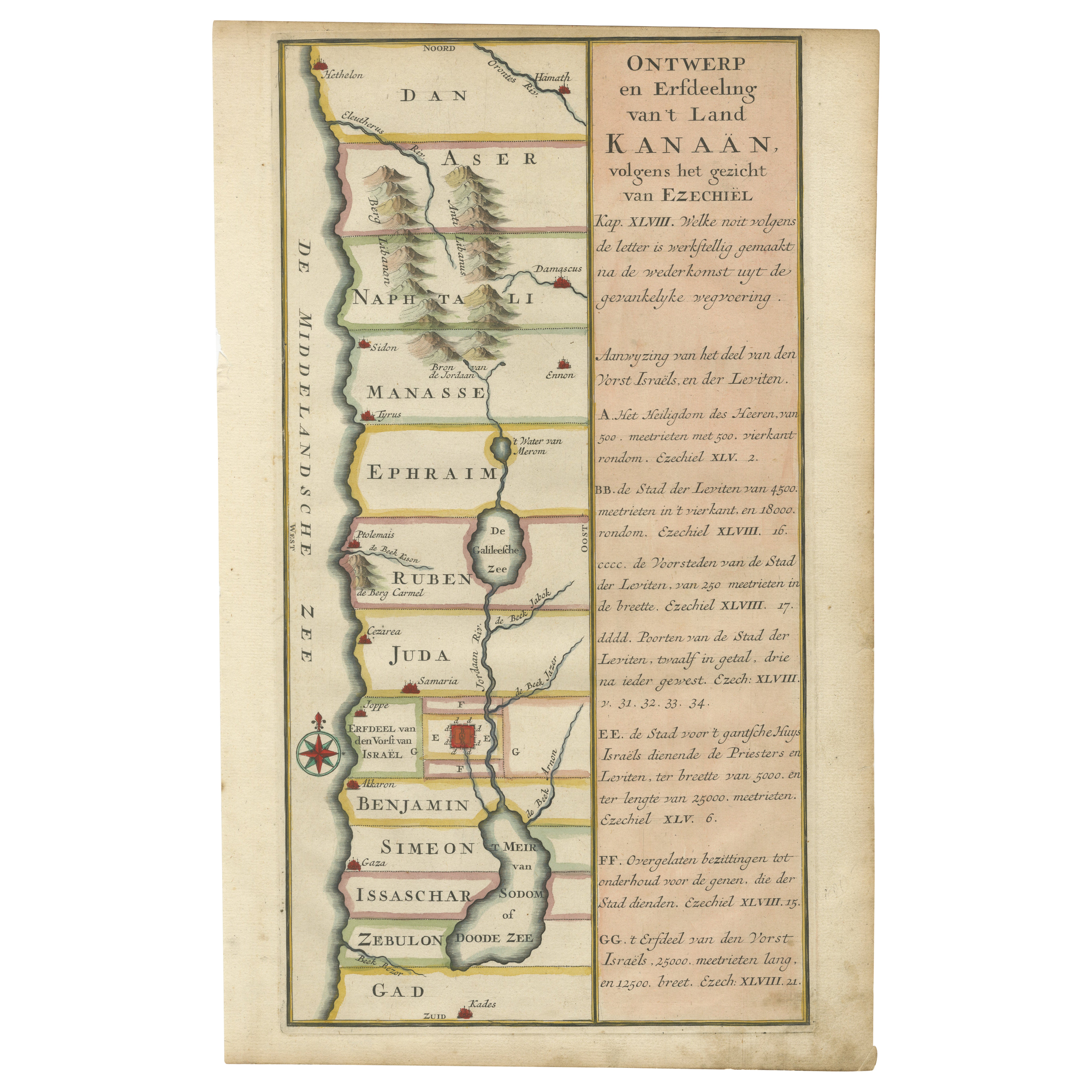
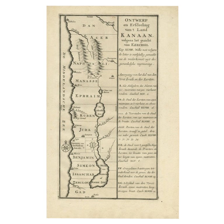
Hand-Colored Dutch Map of Ancient Israel Divided by the Twelve Tribes – After Ezekiel, c.1730
This beautifully hand-colored antique map is titled "Ontwerp en Erfdeeling van’t Land K...
Category
Antique Early 18th Century Dutch Maps
Materials
Paper
Antique Map of the Holy Land by Van Luchtenburg, c.1720
Located in Langweer, NL
Antique map titled 'Heylige Land verdeeld in de Twaalf Stammen Israels (..).' Highly detailed map of the Holy Land divided into 12 tribes of Israel...
Category
Antique 18th Century Maps
Materials
Paper

$132 Sale Price
20% Off
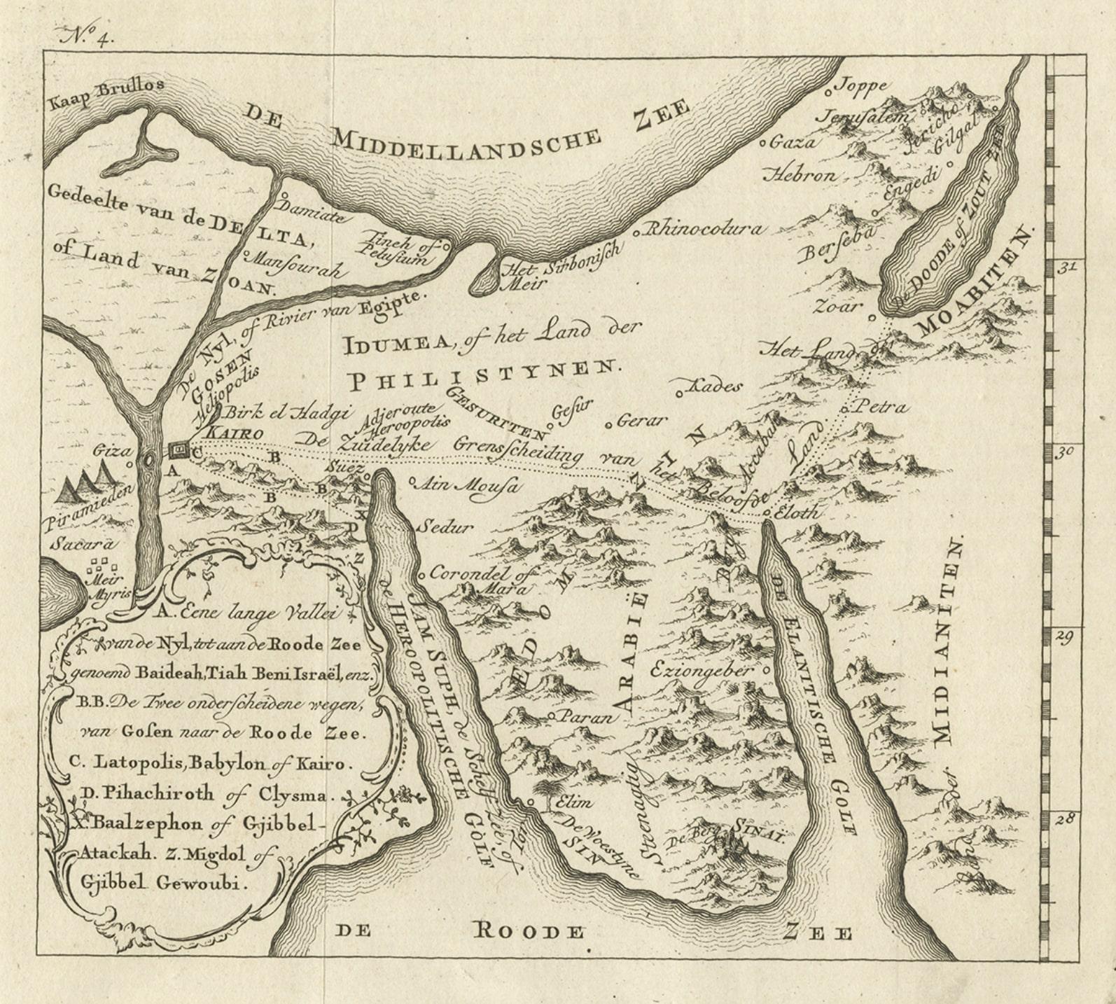
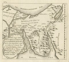
Antique Map of Edom, an Ancient Kingdom in Transjordan, 1773
Located in Langweer, NL
Antique print titled 'Idumea, of thet Land der Philistynen'. Old map of Edom, an ancient kingdom in Transjordan located between Moab to the northeast, the Arabah to the west and the ...
Category
Antique 18th Century Maps
Materials
Paper
$303 Sale Price
20% Off
Original Antique Map of Syria Phoenice by Van Dùren '1749'
Located in Langweer, NL
Interesting Antique map published in Germany titled 'Neue Vorstellung von Phoenice und Syrien (..)' This map is engraved with a lot of details. It is an original antique map of Syria...
Category
Antique Mid-18th Century Maps
Materials
Paper

$284 Sale Price
20% Off
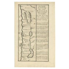
Antique Dutch Map of the Twelve Tribes of Israel – After Ezekiel, circa 1730
Located in Langweer, NL
Antique Dutch Map of the Twelve Tribes of Israel – After Ezekiel, circa 1730
This uncommon early 18th-century Dutch map is titled "Ontwerp en Erfdeeling van’t Land Kanaan, volgens h...
Category
Antique Early 18th Century Dutch Maps
Materials
Paper
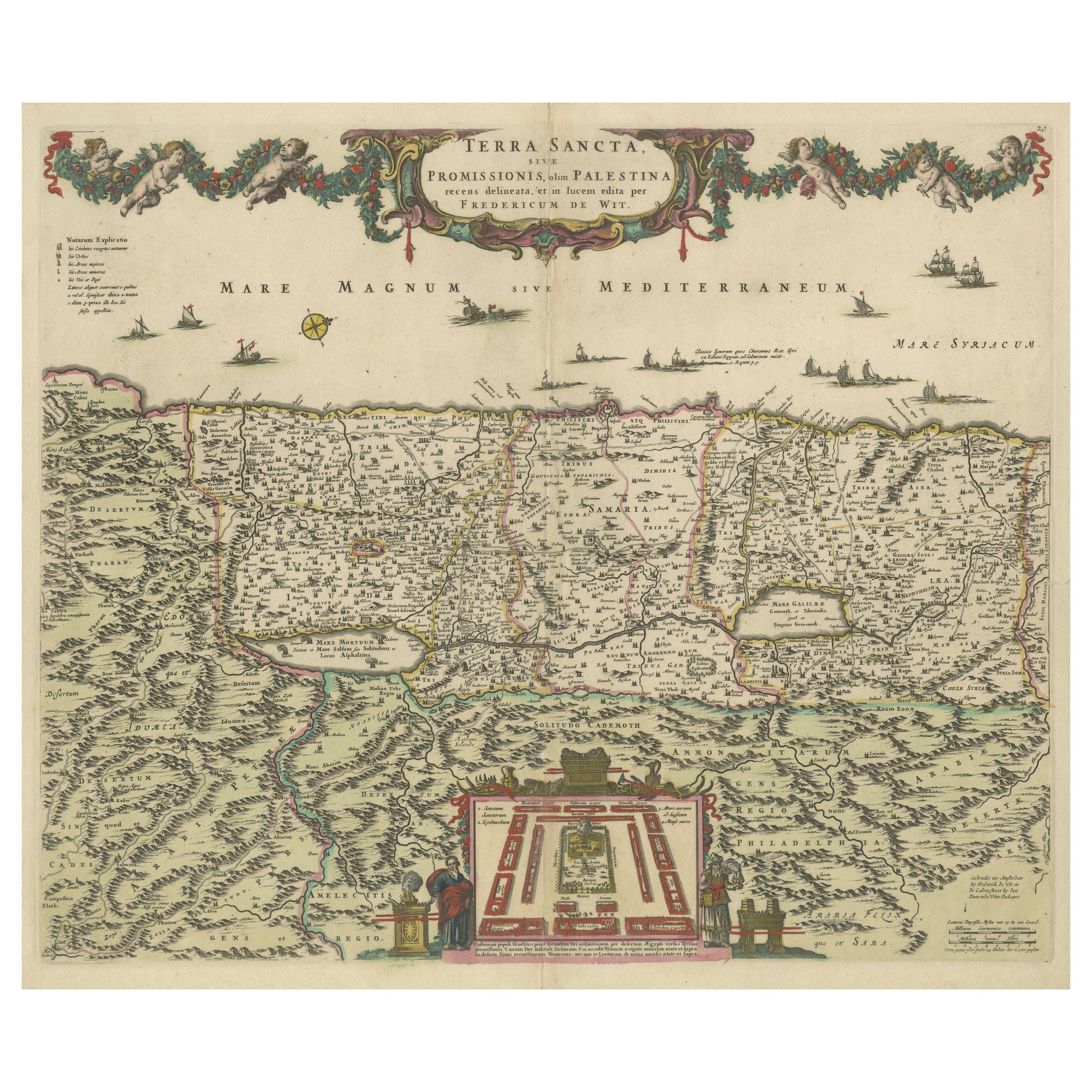
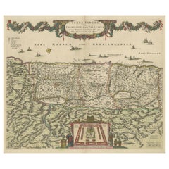
Frederic de Wit Map of Palestine – Terra Sancta, Amsterdam c.1670
Located in Langweer, NL
Terra Sancta sive Promissionis, olim Palestina – hand-coloured copper-engraved map of the Holy Land by Frederic de Wit, Amsterdam, circa 1670
This impressive folio sheet, bearing th...
Category
Antique Late 17th Century Dutch Maps
Materials
Paper
You May Also Like
17th Century Dutch Map of the Holy Land at the Time of Jesus by Visscher
By Nicolaus Visscher
Located in Alamo, CA
This detailed Dutch map entitled "Het Beloofe de Landt Canaan door wandelt van onsen Salichmaecker Iesu Christo, nessens syne Apostelen" by Nicolaes Visscher (1610-1679), published i...
Category
1660s Prints and Multiples
Materials
Engraving

North Holland, Netherlands: A Large 17th C. Hand-colored Map by Sanson & Jaillot
By Nicholas Sanson d'Abbeville
Located in Alamo, CA
This large hand-colored map entitled "Le Comte De Hollande Dressee sur les Memoires les plus Nouveaux" was originally created by Nicholas Sanson d'Abbeville. This version was publish...
Category
1690s Landscape Prints
Materials
Engraving

1627 Hendrik Hondius Map Entitled "Vltoniae Orientalis Pars, " Ric.a009
Located in Norton, MA
1627 Hendrik Hondius map entitled
"Vltoniae orientalis pars,"
Ric.a009
Title:
Vltoniae orientalis : pars
Title (alt.) :
Ultoniae orientalis pars
Creator:
Mercator, Gerh...
Category
Antique 17th Century Dutch Maps
Materials
Paper

1657 Janssonius Map of Vermandois and Cappelle, Ric. A-004
Located in Norton, MA
1657 Janssonius map of
Vermandois and Cappelle
Ric.a004
Description: Antique map of France titled 'Descriptio Veromanduorum - Gouvernement de la Cappelle'. Two detailed maps o...
Category
Antique 17th Century Unknown Maps
Materials
Paper

1635 Willem Blaeu Map of Northern France"Comitatvs Bellovacvm" Ric.a08
Located in Norton, MA
1635 Willem Blaeu map of northern France, entitled.
"Comitatvs Bellovacvm Vernacule Beavvais,"
Colored
Ric.a008
“COMITATVS BELLOVACVM…” Amsterdam: W...
Category
Antique 17th Century Unknown Maps
Materials
Paper

Southern Greece: A Large 17th Century Hand-colored Map By Sanson and Jaillot
By Nicholas Sanson d'Abbeville
Located in Alamo, CA
This large original hand-colored copperplate engraved map of southern Greece and the Pelopponese Peninsula entitled "La Moree Et Les Isles De Zante, Cefalonie, Ste. Marie, Cerigo & C...
Category
1690s Landscape Prints
Materials
Engraving
