Items Similar to Antique Map of the Region of Oostergo by De la Feuille, 1706

Want more images or videos?
Request additional images or videos from the seller
1 of 5
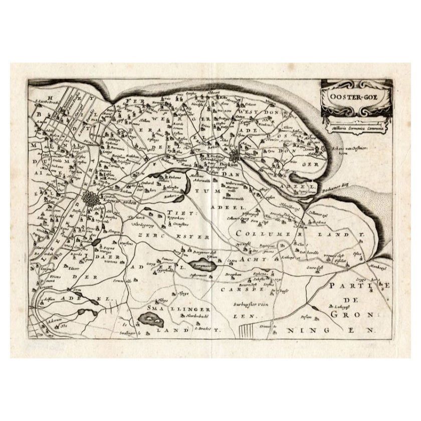
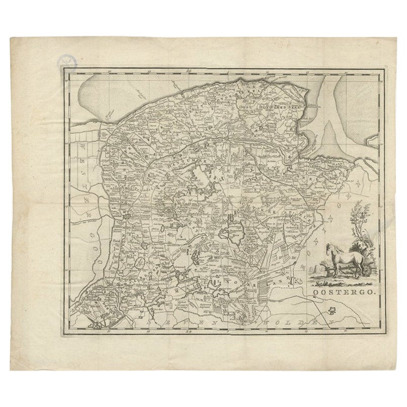
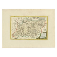
Antique Map of the Region of Oostergo by De la Feuille, 1706
About the Item
Antique map titled 'Ooster-Goe'. Original antique map of the region of Oostergo, Friesland, the Netherlands. Includes the cities of Leeuwarden, Dokkum and others. This map originates from 'Atlas Portatif, ou le nouveau Theater de la Guerre en Europe; Containing the geographical maps, with the plans of the Cities & Fortresses most exposed to the revolutions presented. Published 1706.
Artists and Engravers: Published by D. de la Feuille.
Condition: Good, passe-partout/matting included. General age-related toning, minor wear. Please study image carefully.
Dated: 1706
Overall size: 35.8 x 29.8cm.
We sell original antique maps to collectors, historians, educators and interior decorators all over the world. Our collection includes a wide range of authentic antique maps from the 16th to the 20th centuries. Buying and collecting antique maps is a tradition that goes back hundreds of years. Antique maps have proved a richly rewarding investment over the past decade, thanks to a growing appreciation of their unique historical appeal. Today the decorative qualities of antique maps are widely recognized by interior designers who appreciate their beauty and design flexibility. Depending on the individual map, presentation, and context, a rare or antique map can be modern, traditional, abstract, figurative, serious or whimsical. We offer a wide range of authentic antique maps for any budget.
- Dimensions:Height: 11.74 in (29.8 cm)Width: 14.1 in (35.8 cm)Depth: 0 in (0.01 mm)
- Materials and Techniques:
- Period:
- Date of Manufacture:1706
- Condition:
- Seller Location:Langweer, NL
- Reference Number:Seller: BG-077311stDibs: LU3054327831842
About the Seller
5.0
Platinum Seller
These expertly vetted sellers are 1stDibs' most experienced sellers and are rated highest by our customers.
Established in 2009
1stDibs seller since 2017
1,932 sales on 1stDibs
Typical response time: <1 hour
- ShippingRetrieving quote...Ships From: Langweer, Netherlands
- Return PolicyA return for this item may be initiated within 14 days of delivery.
More From This SellerView All
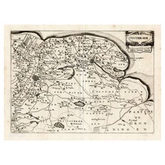
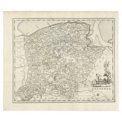
- Antique Map of the Region of Oostergo by Colom, 1635Located in Langweer, NLAntique map titled 'Ooster-Goe'. Original antique map of the region of Oostergo, Friesland, the Netherlands. Includes the cities of Leeuwarden, Dokkum and others. This map originates...Category
Antique 17th Century Maps
MaterialsPaper
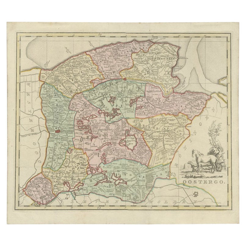
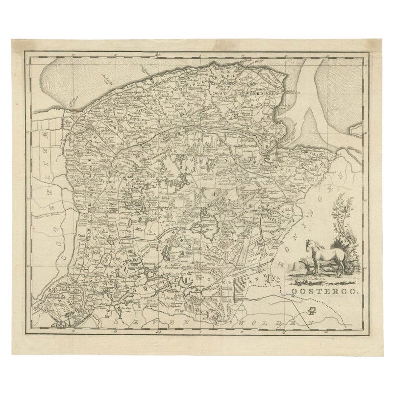
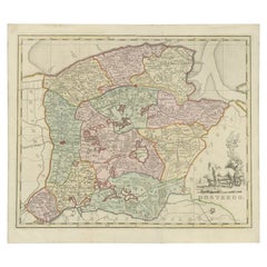
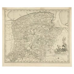
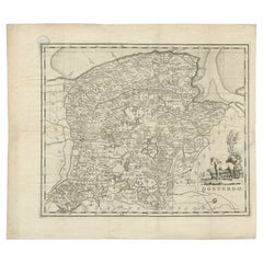
- Antique Map of Oostergo by Tirion, 1744Located in Langweer, NLAntique map titled 'Oostergo'. Original antique map of Oostergo, part of the province of Friesland, the Netherlands. Published 1744. Artists and Engravers: Isaak Tirion (1705 in Utre...Category
Antique 18th Century Maps
MaterialsPaper
- Antique Map of Oostergo by Tirion, 1744Located in Langweer, NLAntique map titled 'Oostergo'. Original antique map of Oostergo, part of the province of Friesland, the Netherlands. Published 1744. Artists and Engravers: Isaak Tirion (1705 in Utre...Category
Antique 18th Century Maps
MaterialsPaper
- Antique Map of Oostergo by Von Reilly, 1791Located in Langweer, NLAntique map titled 'Der Provinz Oostergo sechs südliche Grietenyen'. Map of the Oostergo region, Friesland, the Netherlands. This map orginates from 'Schauplatz der fünf Theile der W...Category
Antique 18th Century Maps
MaterialsPaper
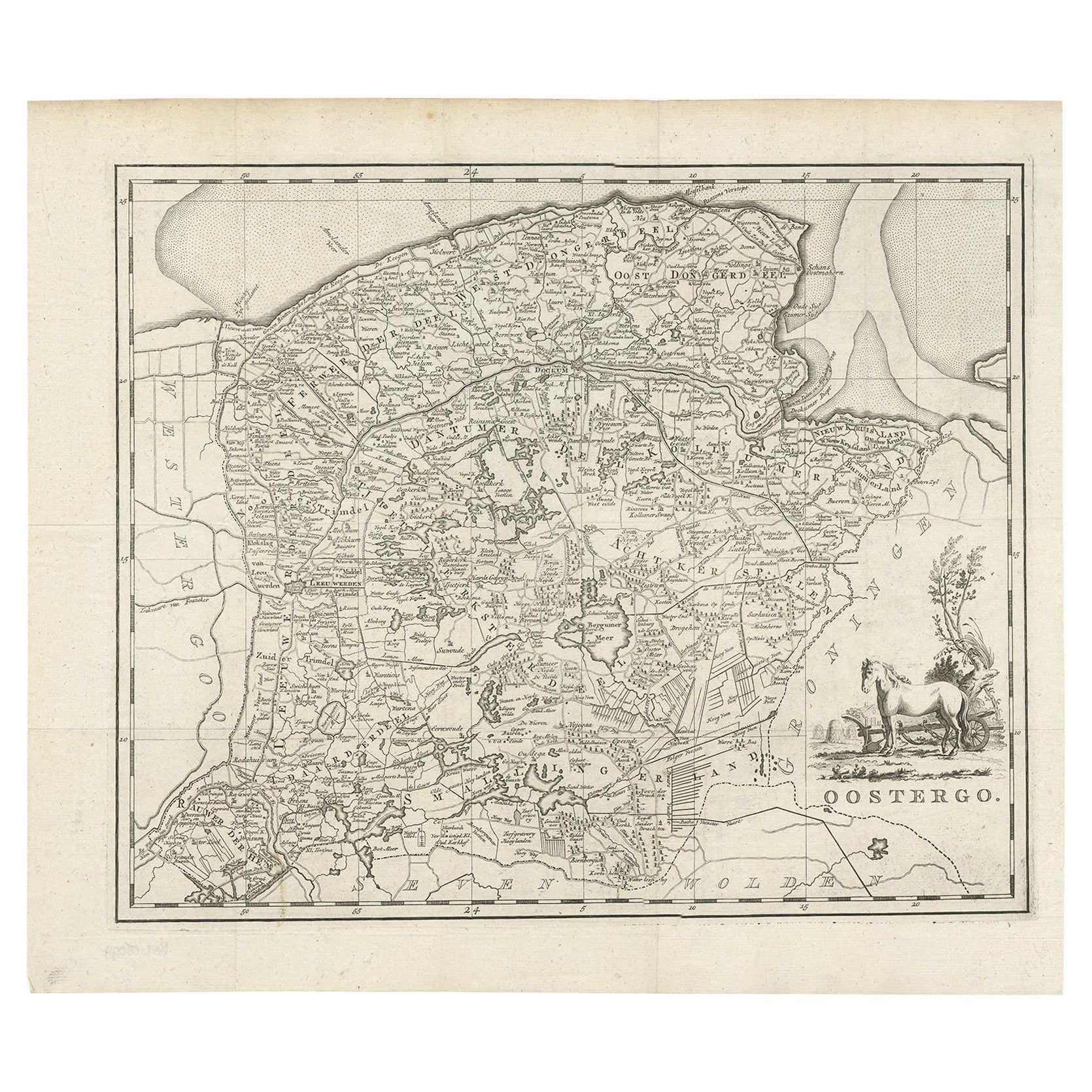
- Antique Map of Oostergo, Friesland by Tirion, 1785Located in Langweer, NLAntique map Friesland titled 'Oostergo'. Antique map of part of Friesland depicting the 'Oostergo' region. Decorative titled cartouche with horse and plough. Originates from 'Tegenwo...Category
Antique 18th Century Maps
MaterialsPaper
You May Also Like
- Map of the Holy Land "Carte de la Syrie et de l'Egypte" by Pierre M. LapieBy Pierre M. LapieLocated in Alamo, CAAn early 19th century map of ancient Syria and Egypt entitled "Carte de la Syrie et de l'Egypte anciennes/dressée par M. Lapie, Colonel d'Etat Major, et...Category
Antique Early 19th Century French Maps
MaterialsPaper
- 1861 Topographical Map of the District of Columbia, by Boschke, Antique MapLocated in Colorado Springs, COPresented is an original map of Albert Boschke's extremely sought-after "Topographical Map of the District of Columbia Surveyed in the Years 1856 ...Category
Antique 1860s American Historical Memorabilia
MaterialsPaper
- 1594 Maurice Bouguereau Map of the Region Limoges, France, Ric0015Located in Norton, MA1594 Maurice Bouguereau map of the region Limoges, France, entitled "Totivs Lemovici et Confinium Pro Uinciarum Quantum ad Dioecefin Lemo Uicenfen Fpectant," Hand Colored Ric0015 Jean IV Le Clerc...Category
Antique 16th Century Dutch Maps
MaterialsPaper
- The Normandy Region of France: A 17th C. Hand-colored Map by Sanson and JaillotBy Nicolas SansonLocated in Alamo, CAThis large hand-colored map entitled "Le Duché et Gouvernement de Normandie divisée en Haute et Basse Normandie en divers Pays; et par evêchez, avec le Gouvernement General du Havre ...Category
Antique 1690s French Maps
MaterialsPaper
- 17th Century Hand Colored Map of the Liege Region in Belgium by VisscherBy Nicolaes Visscher IILocated in Alamo, CAAn original 17th century map entitled "Leodiensis Episcopatus in omnes Subjacentes Provincias distincté divisusVisscher, Leodiensis Episcopatus" by Nicolaes Visscher II, published in Amsterdam in 1688. The map is centered on Liege, Belgium, includes the area between Antwerp, Turnhout, Roermond, Cologne, Trier and Dinant. This attractive map is presented in a cream-colored mat measuring 30" wide x 27.5" high. There is a central fold, as issued. There is minimal spotting in the upper margin and a tiny spot in the right lower margin, which are under the mat. The map is otherwise in excellent condition. The Visscher family were one of the great cartographic families of the 17th century. Begun by Claes Jansz Visscher...Category
Antique Late 17th Century Dutch Maps
MaterialsPaper
- 1633 Map "La Souverainete De Sedan Et De Raucourt, Et La Prevoste Ric0011Located in Norton, MA1653 map entitled "La Souverainete de Sedan et de Raucourt, et la Prevoste de Doncheri," Ric0011 Description: Lovely map centered on Sedan and Doncheri and the Meuze River fr...Category
Antique 17th Century Dutch Maps
MaterialsPaper


