Items Similar to Antique Map of South America by Buchon, 1825


Want more images or videos?
Request additional images or videos from the seller
1 of 5
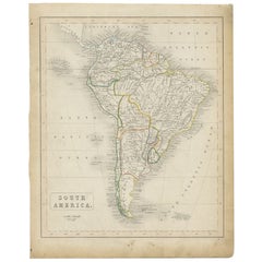
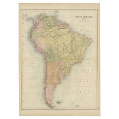
Antique Map of South America by Buchon, 1825
About the Item
Antique map titled 'Carte de l'Amérique méridionale'. Map of South America with attractive topography, surrounded on three sides by text on the history, geography, and economy of the continent. Shows a huge La Plata province that includes much of Peru and all of present-day Bolivia and Argentina north of Patagonia. This map originates from Buchon's 'Atlas Géographique, Statistique, Historique, et Cronologique des Deux Amériques'. Artists and Engravers: Jean Alexandre Buchon (1791-1849) was a French scholar and historian. Born as the French Revolution raged, Buchon was dedicated to recovering France?s history in order to help the country heal and grow. He gathered French stories and published them as part of 'Collection des chroniques nationales franciases ecrites en langue vulgaire, du XIe au XVIe siècle' (4 vols, 1824-1829). He also compiled and published an exploration collection and several histories, particularly about medieval France. For geography, his most important contribution was publication of the French edition of Carey & Lea's 'American Atlas' in 1825. Each page of the atlas includes highly detailed text about the state or territory depicted, as well as a map of the area. The French edition is generally considered in high regard as compared to other editions, as it has quality paper and superior engraving.
Artist: Jean Alexandre Buchon (1791-1849) was a French scholar and historian. Born as the French Revolution raged, Buchon was dedicated to recovering France?s history in order to help the country heal and grow. He gathered French stories and published them as part of 'Collection des chroniques nationales franciases ecrites en langue vulgaire, du XIe au XVIe siècle' (4 vols, 1824-1829). He also compiled and published an exploration collection and several histories, particularly about medieval France. For geography, his most important contribution was publication of the French edition of Carey & Lea?s 'American Atlas' in 1825. Each page of the atlas includes highly detailed text about the state or territory depicted, as well as a map of the area. The French edition is generally considered in high regard as compared to other editions, as it has quality paper and superior engraving.
Antique prints have long been appreciated for both their aesthetic and investment value. They were the product of engraved, etched or lithographed plates. These plates were handmade out of wood or metal, which required an incredible level of skill, patience and craftsmanship. Whether you have a house with Victorian furniture or more contemporary decor an old engraving can enhance your living space. We offer a wide range of authentic antique prints for any budget.
- Dimensions:Height: 21.26 in (54 cm)Width: 27.56 in (70 cm)Depth: 0 in (0.01 mm)
- Materials and Techniques:
- Period:
- Date of Manufacture:1825
- Condition:Condition: Good, general age-related toning. Few marginal tears, please study image carefully.
- Seller Location:Langweer, NL
- Reference Number:
About the Seller
5.0
Platinum Seller
These expertly vetted sellers are 1stDibs' most experienced sellers and are rated highest by our customers.
Established in 2009
1stDibs seller since 2017
1,916 sales on 1stDibs
Typical response time: <1 hour
- ShippingRetrieving quote...Ships From: Langweer, Netherlands
- Return PolicyA return for this item may be initiated within 14 days of delivery.
More From This SellerView All
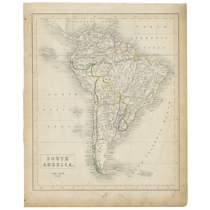
- Antique Map of South America, c.1840Located in Langweer, NLAntique map titled 'South America'. Original, antique map depicting South America. With outline coloring. Source unknown, to be determined. Artists and Engravers: Anonymous. Artist:...Category
Antique 19th Century Maps
MaterialsPaper
- Scarce Antique Map of South AmericaLocated in Langweer, NLAntique map titled 'Carte de l'Amérique Méridionale'. Scarce map of South America, published in Paris in 1821. The map shows the continent in the ...Category
Antique Early 19th Century Maps
MaterialsPaper
- Antique Map of South America by J. Cook, 1775Located in Langweer, NLAntique map titled 'Kaart van het Zuidlyk Eind van Amerika'. Map of the sourthern part of South America, focusing on Cook's tracks around the Cape Horn and T...Category
Antique Mid-18th Century Maps
MaterialsPaper
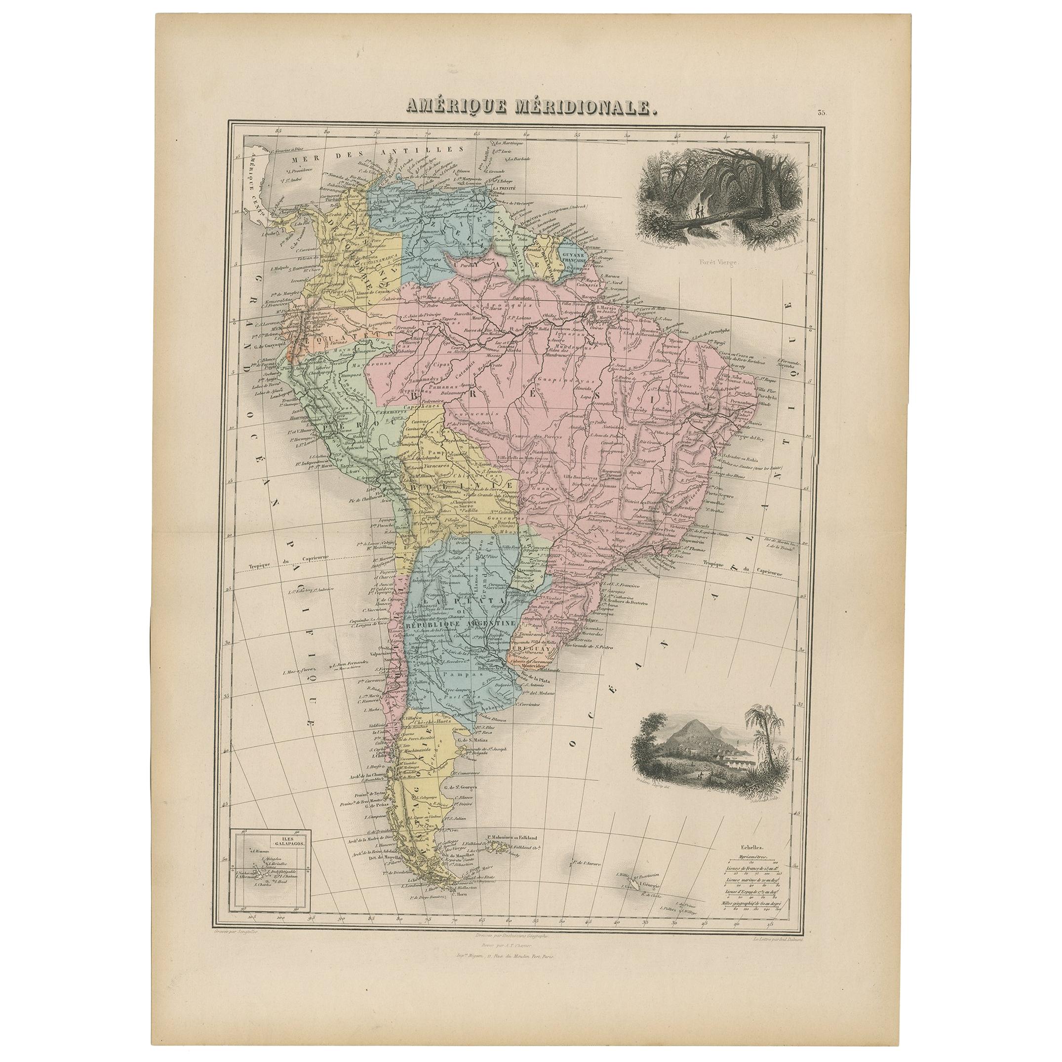
- Antique Map of South America by Migeon '1880'By J. MigeonLocated in Langweer, NLAntique map titled 'Amérique Méridionale'. Old map of South America. With an inset map of the Galapagos Islands and decorative vignettes. This map...Category
Antique Late 19th Century French Maps
MaterialsPaper
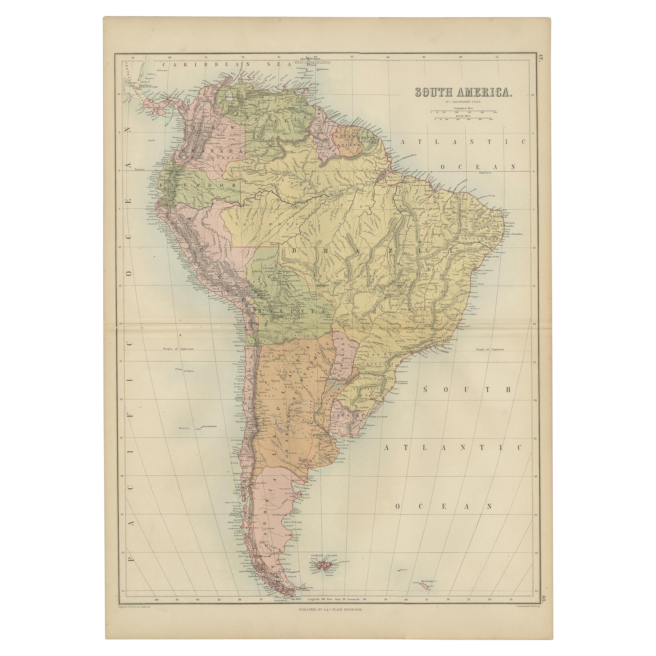
- Antique Map of South America by W. G. Blackie, 1859Located in Langweer, NLAntique map titled 'South America'. Original antique map of South America. This map originates from ‘The Imperial Atlas of Modern Geography’. Published by W. G. Blackie, 1859.Category
Antique Mid-19th Century Maps
MaterialsPaper
- Antique Map of South America by A & C. Black, 1870Located in Langweer, NLAntique map titled 'South America'. Original antique map of Map of South America. This map originates from ‘Black's General Atlas of The World’. Published by A & C. Black, 1870.Category
Antique Late 19th Century Maps
MaterialsPaper


You May Also Like
- Original Antique Map of South America. C.1780Located in St Annes, LancashireGreat map of South America Copper-plate engraving Published C.1780 Two small worm holes to left side of map Unframed.Category
Antique Early 1800s English Georgian Maps
MaterialsPaper
- Original Antique Map of South America, circa 1830Located in St Annes, LancashireGreat map of South America Copper plate engraving Published by Butterworth, Livesey & Co., circa 1830 Unframed.Category
Antique Early 1800s English Other Maps
MaterialsPaper
- Original Antique Map of South America by Thomas Clerk, 1817Located in St Annes, LancashireGreat map of South America Copper-plate engraving Drawn and engraved by Thomas Clerk, Edinburgh. Published by Mackenzie And Dent, 1817 Unframed.Category
Antique 1810s English Maps
MaterialsPaper
- Original Antique Decorative Map of South America-West Coast, Fullarton, C.1870Located in St Annes, LancashireGreat map of Chili, Peru and part of Bolivia Wonderful figural border From the celebrated Royal Illustrated Atlas Lithograph. Original color. Published by Fullarton, Edi...Category
Antique 1870s Scottish Maps
MaterialsPaper
- Antique Lithography Map, South America, English, Framed, Cartography, VictorianLocated in Hele, Devon, GBThis is an antique lithography map of South America. An English, framed atlas engraving of cartographic interest by John Rapkin , dating to the early Victorian period and later, circ...Category
Antique Mid-19th Century British Early Victorian Maps
MaterialsWood
- Original Antique Map of South Africa, Arrowsmith, 1820Located in St Annes, LancashireGreat map of South Africa. Drawn under the direction of Arrowsmith. Copper-plate engraving. Published by Longman, Hurst, Rees, Orme and Br...Category
Antique 1820s English Maps
MaterialsPaper


Recently Viewed
View AllMore Ways To Browse
Antique Regard
Argentine Antiques
Antique Argentine
Argentine Antique Furniture
Map Of South America
1825 American
French Map Of America
Old American Maps
Peruvian Wood Furniture
Antique North America Map
Antique Maps North America
Antique Map North America
Antique Maps Of North America
North America Antique Map
Antique Peru
Peruvian Antiques
Antique Furniture Peru
Antique Country Furniture Of North America