Items Similar to Barados and St Christopher or St Kitts and Nevis Islands in the Caribbean, 1748


Want more images or videos?
Request additional images or videos from the seller
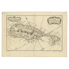
1 of 6
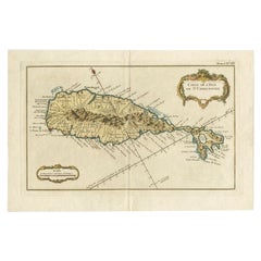
Barados and St Christopher or St Kitts and Nevis Islands in the Caribbean, 1748
About the Item
This original map, a copperplate engraving by Le Rouge, presents two significant areas in the Caribbean. Titled "Isle St. Christophle une des Antilles aux anglois" and "La Barbade. divisée par Paroisses," it offers detailed insights into St. Christopher (St. Kitts), one of the Anglo islands, and Barbados, delineated by its parishes.
Crafted in 1746, this map stands as a historical artifact showcasing the intricate cartographic skills of Le Rouge. It meticulously outlines the geography, coastal features, settlements, and notable divisions of St. Christopher and Barbados during the 18th century.
Le Rouge's mastery in mapmaking is evident through the elaborate engravings and precise details presented on this map. It serves as a valuable reference, offering a glimpse into the geographical understanding and historical context of these Caribbean territories during the colonial period.
The map's delineation of parishes in Barbados and its depiction of key geographical elements provide a comprehensive view of these islands in the 18th century. This original engraving remains a prized piece, embodying the historical significance and cartographic excellence characteristic of Le Rouge's work during that era.
- Dimensions:Height: 13.98 in (35.5 cm)Width: 9.65 in (24.5 cm)Depth: 0 in (0.02 mm)
- Materials and Techniques:Paper,Engraved
- Period:
- Date of Manufacture:1748
- Condition:Later attractive coloring. Good Condition. Overal aged related toning and minor wear due to handling. Original fold line as issued. Blank verso. Please study image carefully.
- Seller Location:Langweer, NL
- Reference Number:
About the Seller
5.0
Platinum Seller
These expertly vetted sellers are 1stDibs' most experienced sellers and are rated highest by our customers.
Established in 2009
1stDibs seller since 2017
1,922 sales on 1stDibs
Typical response time: <1 hour
- ShippingRetrieving quote...Ships From: Langweer, Netherlands
- Return PolicyA return for this item may be initiated within 14 days of delivery.
More From This SellerView All
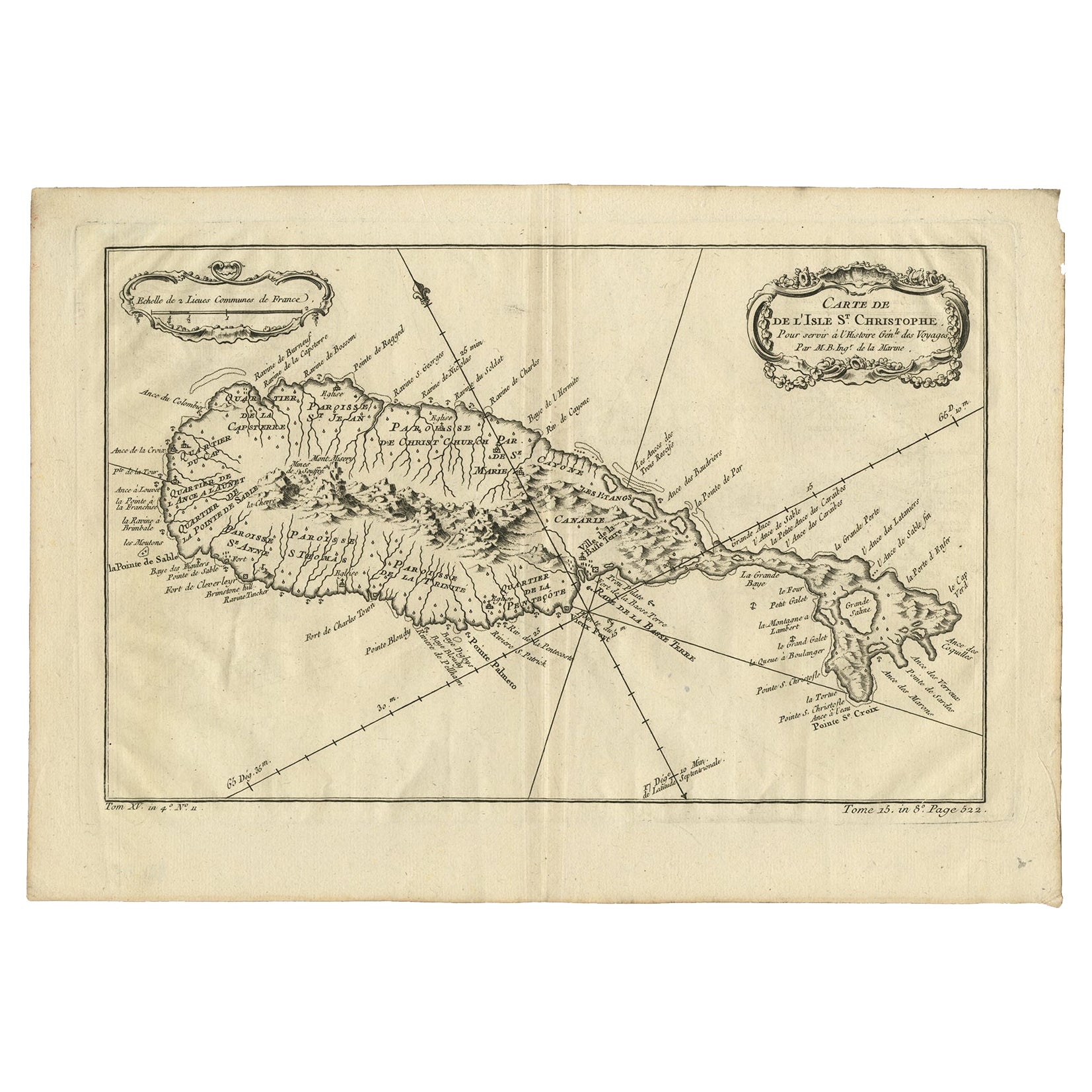
- Old Map of the island of Saint Christopher or St. Kitts in the Caribbean, c.1765Located in Langweer, NLAntique map titled 'Carte de l'Isle de Saint-Christophe'. A detailed map of the island of Saint Christopher or St. Kitts showing mountain ranges, port towns and parishes. This map ...Category
Antique 18th Century Maps
MaterialsPaper
- Antique Map of the Caribbean Island of St Kitts, ca.1750Located in Langweer, NLDescription: Antique map titled 'Carte de l'Isle St. Christophe pour Servir a l'Histoire Genle. des Voyages.' Detailed map of the Island of St. Kitts, showing the Parishes, towns, ...Category
Antique 1750s Maps
MaterialsPaper
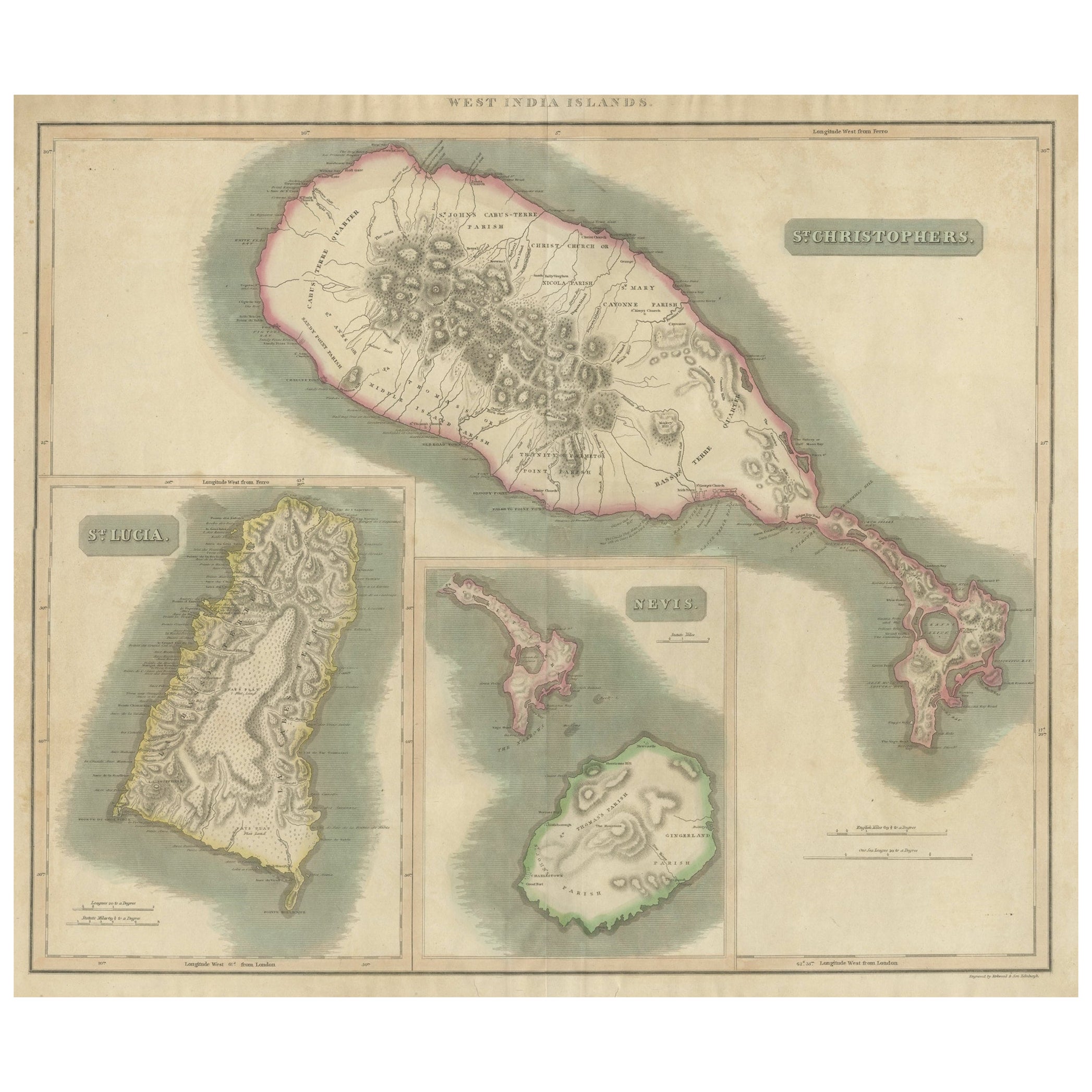
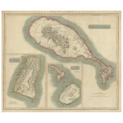
- 1817 John Thomson's Handcolored Antique Map of St. Kitts, Nevis, and St. LuciaLocated in Langweer, NLThis is an antique map depicting the islands of St. Kitts (St. Christopher's) and Nevis in the West Indies, along with a smaller inset map of St. Lucia. The main map focuses on St. Kitts, with detailed topographical features such as mountain ranges, volcanic peaks, and plantation areas indicated by cross-hatching and stippling. The coastline is meticulously outlined, with bays and capes labeled. The island of Nevis appears in a smaller inset on the right, detailed in a similar fashion with its own unique landscape features. The inset of St. Lucia at the bottom left shows the rugged terrain of the island, including its mountains and natural harbors. Each island's map is framed within its own neat line border, with a title block for identification. The map appears to be hand-colored, a common practice of the time for high-quality maps, which emphasizes the land against the sea. Pink shading outlines the islands, while green tones likely represent lower elevations and yellow tones for higher elevations. The condition of the map suggests it has been well-preserved, with the paper maintaining its integrity and the colors remaining vivid. There are signs of aging, such as slight discoloration and possible foxing, but these are typical for documents of this era and do not significantly detract from the visual appeal or the information presented. This map would have been an important navigational aid for sailors and a source of geographic knowledge for those interested in the West Indies during the period it was made. The craftsmanship and detail also make it a fine example of cartographic art...Category
Antique Early 19th Century Maps
MaterialsPaper
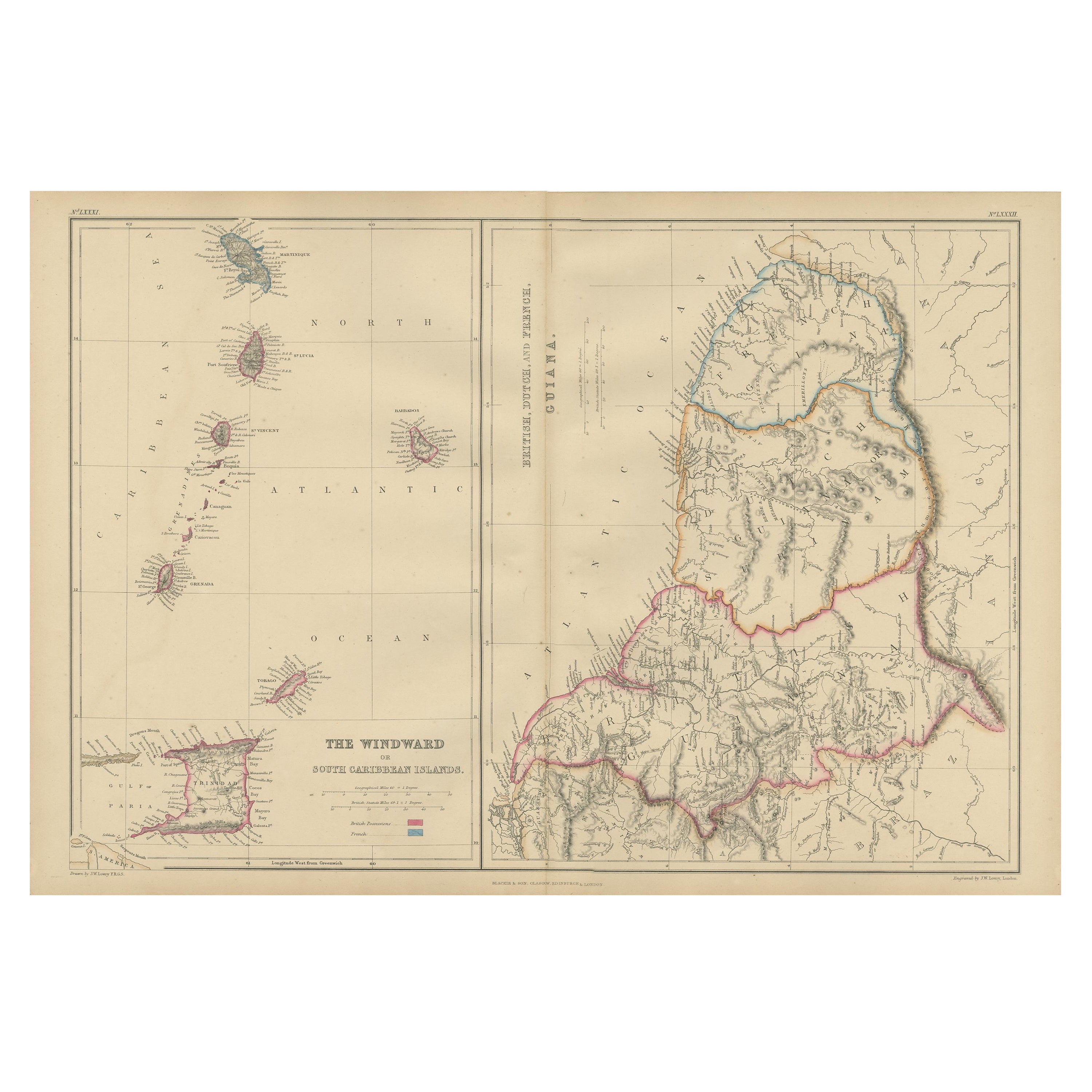
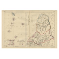
- Antique Map the Windward or South Caribbean Islands and Guiana, 1859Located in Langweer, NLAntique map titled 'The Windward or South Caribbean Islands'. Original antique map of South Caribbean Islands. This map originates from ‘The Imperial Atlas of Modern Geography’. Published by W. G. Blackie, 1859. The Windward Islands, also known as the Islands of Barlovento, are the southern, generally larger islands of the Lesser Antilles. Part of the West Indies, they lie south of the Leeward Islands...Category
Antique Mid-19th Century Maps
MaterialsPaper
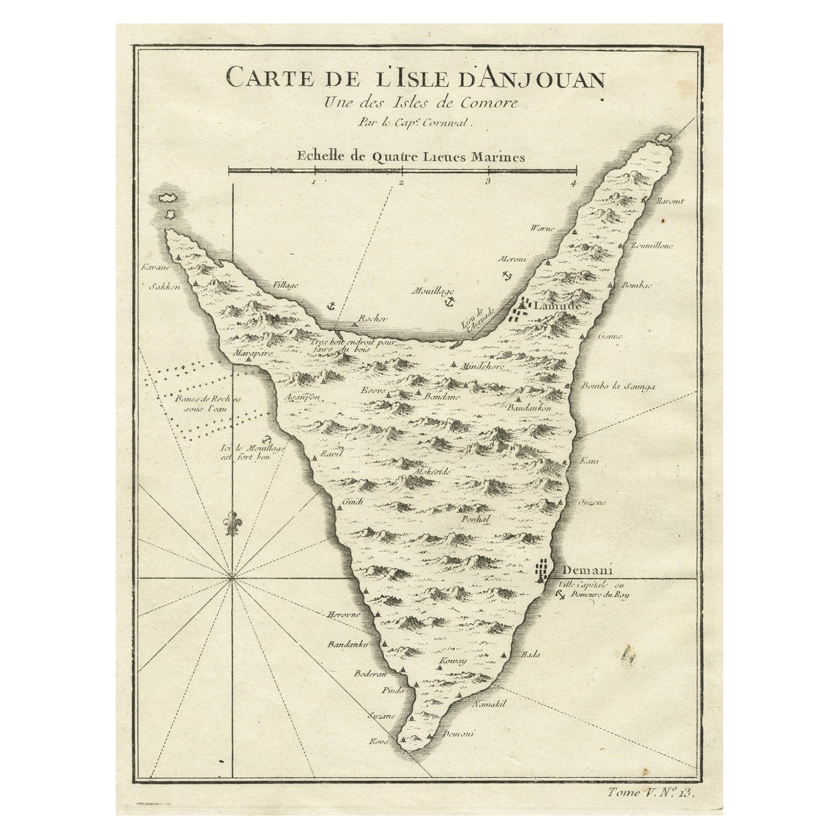
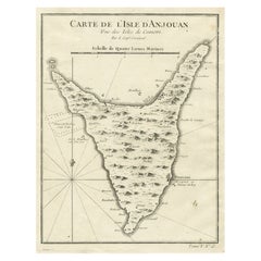
- Antique Map of Anjouan or Ndzuani, Island of The Comoros, 1748Located in Langweer, NLAntique map titled ‘Carte de L’Isle D’Anjouan’. Original antique map of Anjouan, also known as Ndzuwani or Nzwani, or, historically, as Johanna, an autonomous island in the Indian Oc...Category
Antique 18th Century Maps
MaterialsPaper
- Detailed Antique Map of the Windward Islands in the CaribbeanBy Covens & MortierLocated in Langweer, NLAntique map titled 'Carte des Antilles Francoises et des Isles Voisines'. Original antique map of the French Antilles, covering an area stretching from Guadeloupe in the north to Gre...Category
Antique Early 18th Century Maps
MaterialsPaper

You May Also Like
- St. Christophe 'St. Kitts' Island: An 18th Century Hand-colored Map by BellinBy Jacques-Nicolas BellinLocated in Alamo, CAJacques Bellin's copper-plate map of the Caribbean island of Saint Kitts entitled "Carte De De l'Isle St. Christophe Pour servir á l'Histoire Genle. des V...Category
Antique Mid-18th Century French Maps
MaterialsPaper
- Early 19th Century Hand Colored Map of the United States and Caribbean IslandsLocated in Hamilton, OntarioHand coloured early 19th century map by Giraldon of France titled "Etats Unis et Grandes Antilles" (United States and Greater Antilles).Category
Antique Early 19th Century French Maps
MaterialsPaper
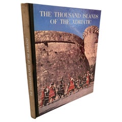
- Thousand Islands of the Adriatic Hardcover Book 1965 1st EditionLocated in North Hollywood, CAThe Thousand Islands of the Adriatic Hardcover Book 1965. Text by Antun Soljan Published by Yugoslavija 1st edition 1965.Category
Vintage 1960s European Folk Art Books
MaterialsPaper
- Christopher Makos, White Trash 1st Edition 1977Located in London, GB1st Edition Published by New York: Stonehill Pub. Co. 1977 This now iconic book was Christopher Makos's first ever publication and was instantly loved. This book established him as a pioneer in capturing the emerging US punk scened. Makos worked with both Man Ray and Andy Warhol and his seminal 1977 photo book chronicled the Downtown New York punk scene. Makos captured intimate moments in the chaotic lives of his subjects, which include Andy Warhol, Man Ray, Tennessee Williams, Mick Jagger, David Bowie, Grace Jones, Patti Smith, Richard Hell, Tom Verlaine...Category
Vintage 1970s Books
MaterialsPaper
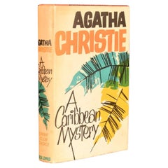
- 1964 A Caribbean MysteryBy Agatha ChristieLocated in Bath, GBAn exceptional signed first edition of this classic Miss Marple novel, signed from Christie to her secretary, Carlo Fisher. With a dedication from Christie to the front free endpape...Category
Vintage 1960s European Books
MaterialsPaper
- Christopher Wool the Paris Review, 1989By Christopher WoolLocated in Brooklyn, NYChristopher Wool The Paris Review: 1989 The Paris Review book, with original cover design by Christopher Wool. Offset lithograph on double sided art periodical. The full book. ...Category
Vintage 1980s American Classical Books
MaterialsPaper


Recently Viewed
View AllMore Ways To Browse
Antique Compass France
John Speed Isle Of Wight Maps
Compass France
Isle Of Wight Maps
Old French Map
Ancient Map Of Israel
John Tallis Map
Austria Hungary Map
Kiribati Islands Map
Map Of Kiribati Islands
Montana Maps
Oman Map
Palliser Furniture
Barbados Map
Map Of Barbados
Britton And Rey Lithograph
Christoph Weigel On Sale
Clivia Ducatus Et Ravestein Dominium