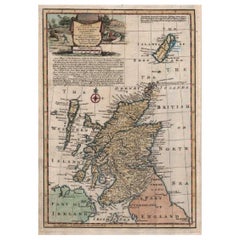
Bowen Antique Map of Scotland
View Similar Items


1 of 3
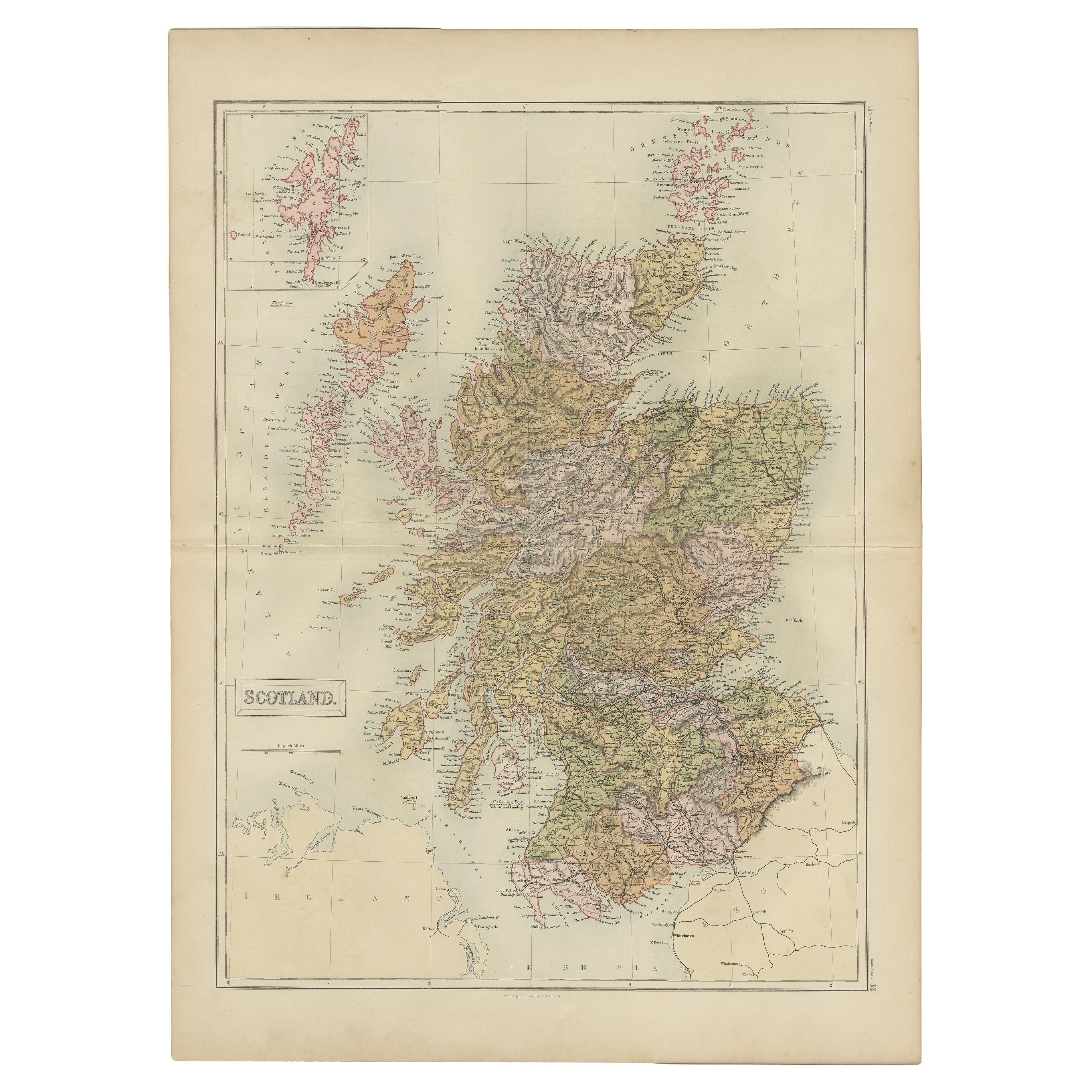
Bowen Antique Map of Scotland
About the Item
- Creator:Emanuel Bowen (Maker)
- Dimensions:Height: 13.75 in (34.93 cm)Width: 9.25 in (23.5 cm)Depth: 0.01 in (0.26 mm)
- Place of Origin:
- Period:
- Date of Manufacture:1747
- Condition:Wear consistent with age and use. In the upper right corner there looks to be a repair that has been made.
- Seller Location:Pataskala, OH
- Reference Number:Seller: DM170011stDibs: LU305039058093
You May Also Like
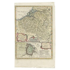
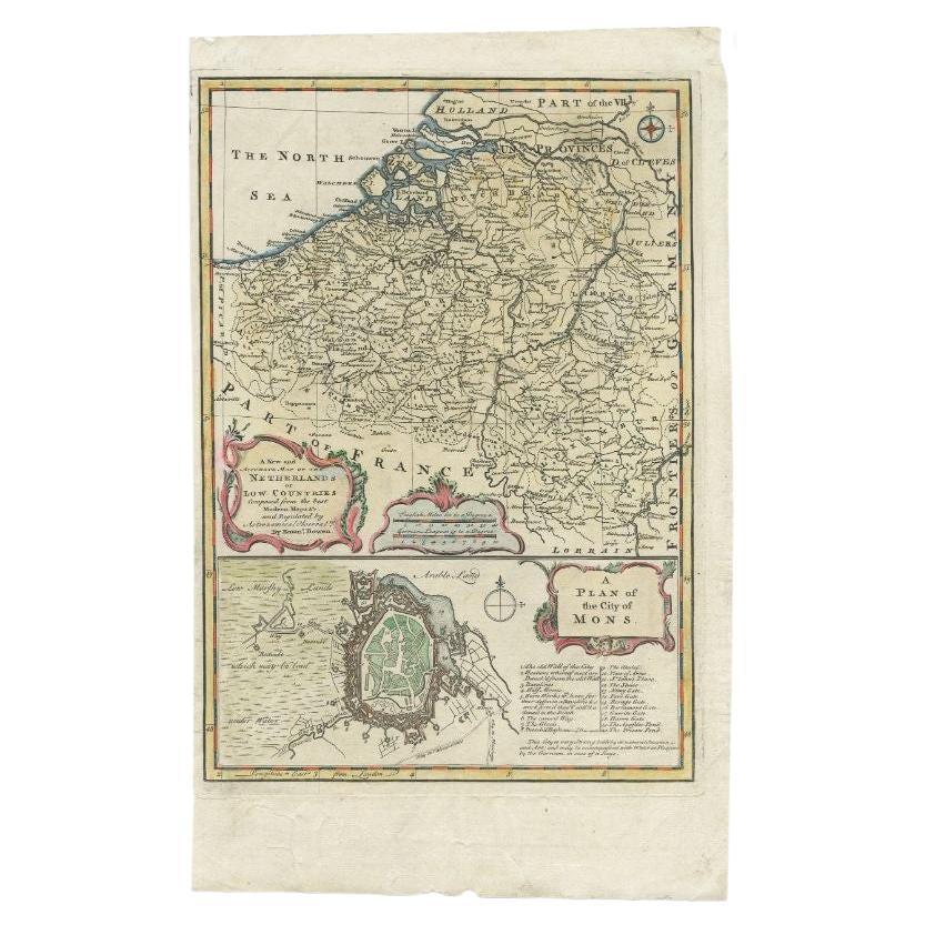
- Antique Map of the Netherlands and Belgium by Bowen, 1747By Emanuel BowenLocated in Langweer, NLAntique map Belgium titled 'A New and Accurate Map of the Netherlands or Low Countries'. Detailed map of South of the Netherlands and Belgium. With large inset of the city of Mons, B...Category
Antique 18th Century Maps
MaterialsPaper
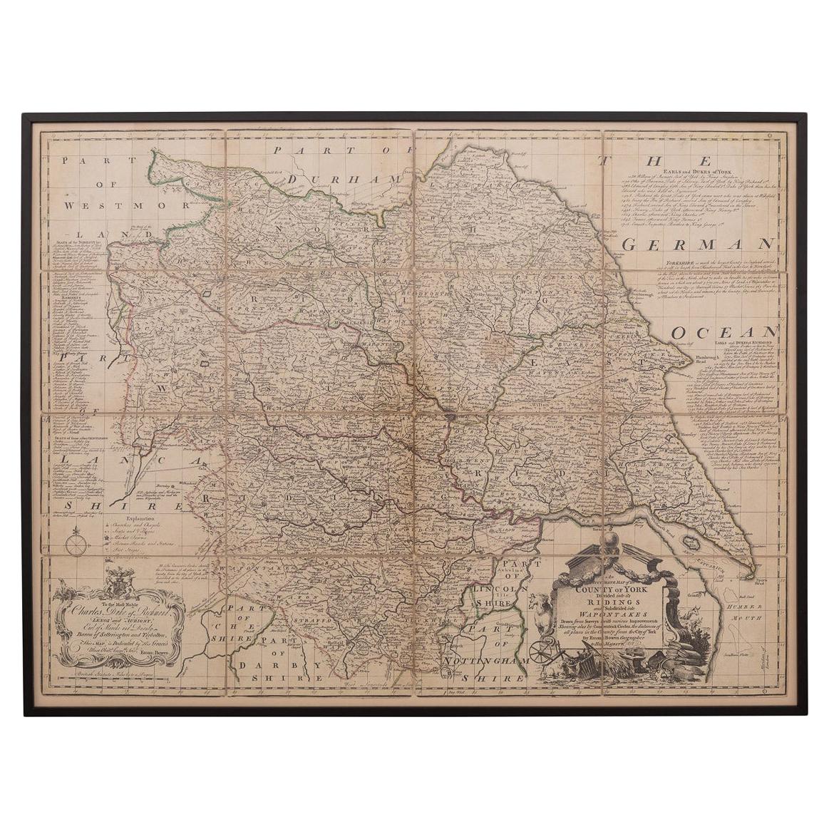
- 18th Century Emanuel Bowen Map of County of York, c.1740By Emanuel BowenLocated in Royal Tunbridge Wells, KentAntique 18th century British rare and original Emanuel Bowen (1694-1767) map of the County of York divided into its Ridings and subdivided into wapontakes, mounted in solid wood fram...Category
Antique Early 18th Century British Maps
MaterialsPaper

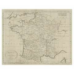
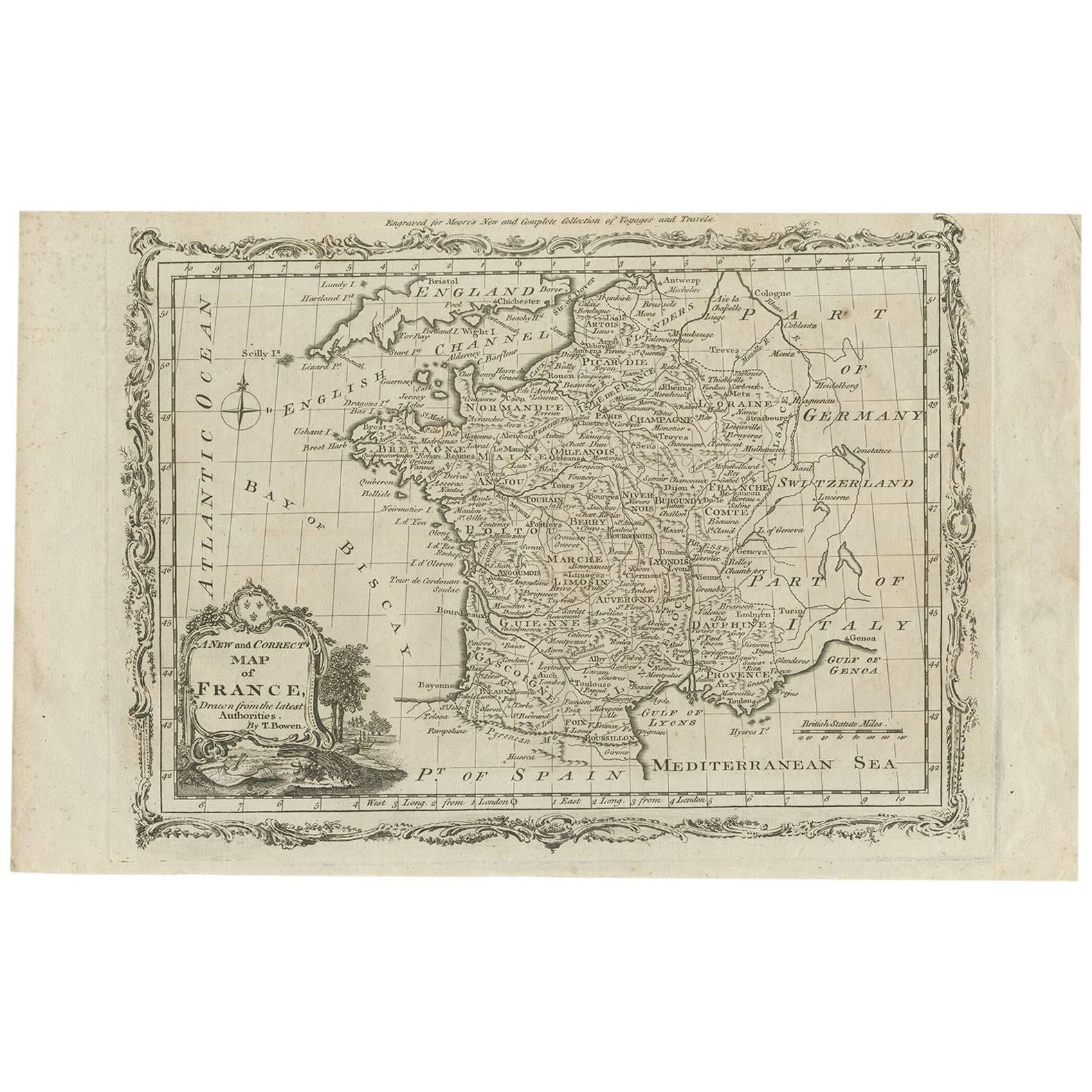
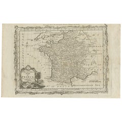
- Antique Map of France by T. Bowen, 1785Located in Langweer, NLDecorative antique map of France titled 'A new and accurate map of France, Drawn from the latest Authorities by T. Bowen'. Engraved for Moore’s new and complete collection of Voyages...Category
Antique Late 18th Century Maps
MaterialsPaper
 $131 Sale Price25% Off
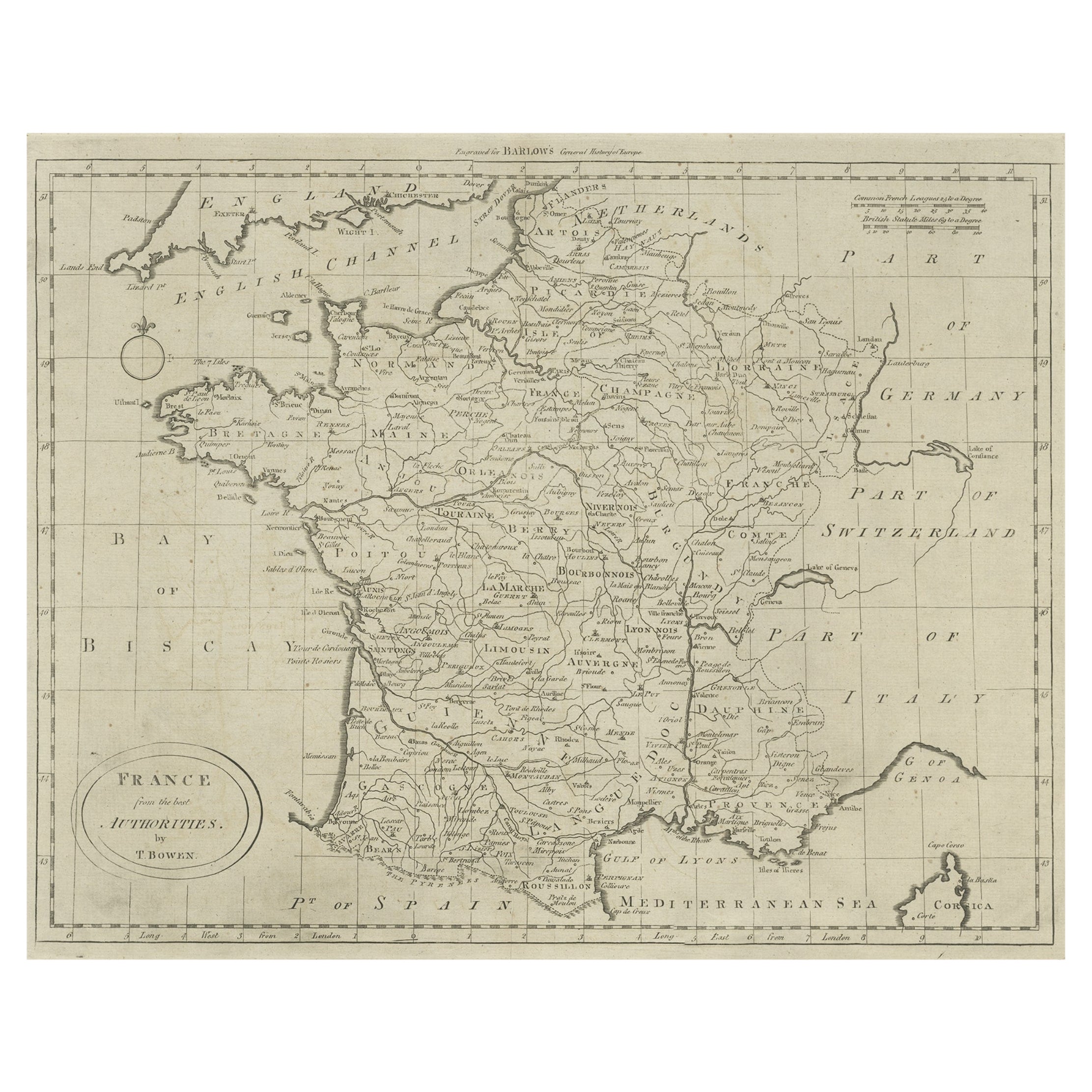
 - Antique Map of France by Bowen, c.1790Located in Langweer, NLAntique map titled 'France from the best Authorities'. Original antique map of France. Engraved for Barlow's General history of Europe. Published circa 1790. Artists and Engraver...Category
Antique 18th Century Maps
MaterialsPaper
- Antique Map of Sweden by Bowen, 1747Located in Langweer, NLAntique map titled 'A New & Accurate Map of Sweden'. This map covers Sweden and Finland (shown as part of Sweden) as well as parts of modern day Estonia,...Category
Antique 18th Century Maps
MaterialsPaper
- Antique Map of Moscovy 'Russia' by E. Bowen, 1747Located in Langweer, NLBeautiful map of European Russia by the English cartographer Emmanuel Bowen. It depicts the European portion of Russia extending from the Gulf of Finland to the Ural Mountains. The m...Category
Antique Mid-18th Century Maps
MaterialsPaper
 $191 Sale Price45% Off