Items Similar to Detailed Antique Map of Italy and surrounding Islands


Want more images or videos?
Request additional images or videos from the seller
1 of 6
Detailed Antique Map of Italy and surrounding Islands
About the Item
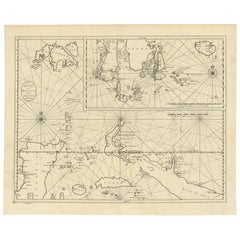
Antique map titled 'Italie volgens de allernieuwste Uitgave van den Heere d'Anville'. Very detailed antique map, based on D'Anville's important map of Italy. The map extends to Sicily, Corsica, Sardinia, and Mallorca (Majorca). A small inset shows Malta in relation to Sicily. The title is enclosed in a decorative cartouche. Published by I. Tirion, dated 1761.
Tirion was born in Utrecht in 1705. He moved to Amsterdam in 1725 and set up shop on Damrak as a book publisher. Tirion quick rose in prominence by publishing pamphlets, historical works, and, most importantly, maps and atlases. He eventually relocated his printing house to the prestigious Kalverstraat. In his long career he produced eight atlases in multiple editions, some of which were published posthumously until about 1784. Most of his cartographic work is based on the earlier maps of Guillaume de L'Isle.
- Dimensions:Height: 16.5 in (41.9 cm)Width: 18.82 in (47.8 cm)Depth: 0.02 in (0.5 mm)
- Materials and Techniques:
- Period:
- Date of Manufacture:1761
- Condition:General age-related toning. Beautiful hand coloring. Original folding lines, one small closed split top margin. Minor wear, blank verso. Please study image carefully.
- Seller Location:Langweer, NL
- Reference Number:
About the Seller
5.0
Platinum Seller
These expertly vetted sellers are 1stDibs' most experienced sellers and are rated highest by our customers.
Established in 2009
1stDibs seller since 2017
1,922 sales on 1stDibs
Typical response time: <1 hour
- ShippingRetrieving quote...Ships From: Langweer, Netherlands
- Return PolicyA return for this item may be initiated within 14 days of delivery.
More From This SellerView All
- Antique Map of Australia and surrounding Islands by F. von Stülpnagel, 1850Located in Langweer, NLAntique map titled 'Festland von Asutralien und benachbarte Inseln'. Map showing Australia, New Zealand, Southern New-Guinea and surrounding islands. This map originates from Stieler...Category
Antique Mid-19th Century Maps
MaterialsPaper
- Antique Map of Champagne and surrounding Regions, FranceLocated in Langweer, NLAntique map titled 'Carte de la Champagne et des Pays Voisins (..)'. Detailed map of Champagne and surrounding regions of Chalons and Soissons, Reims, Vedun, Mouzon, Sean, Charlemont...Category
Antique Mid-18th Century Maps
MaterialsPaper
- Detailed Antique Map of the Windward Islands in the CaribbeanBy Covens & MortierLocated in Langweer, NLAntique map titled 'Carte des Antilles Francoises et des Isles Voisines'. Original antique map of the French Antilles, covering an area stretching from Guadeloupe in the north to Gre...Category
Antique Early 18th Century Maps
MaterialsPaper
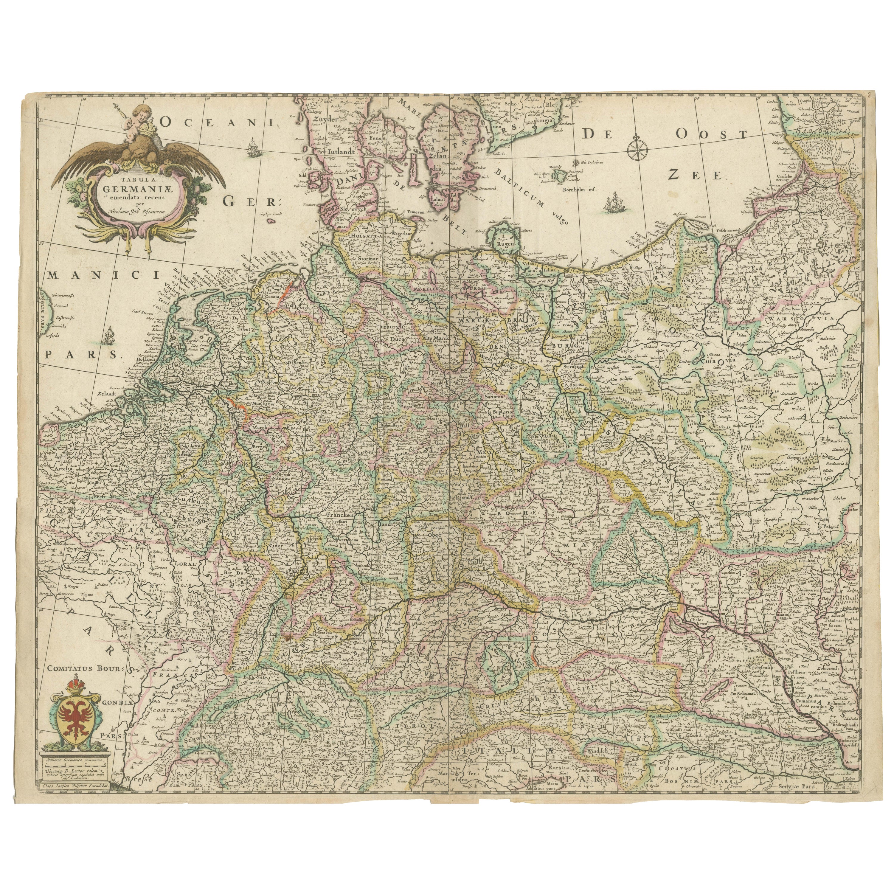
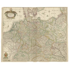
- Antique Map of Germany including surrounding countriesLocated in Langweer, NLAntique map titled 'Tabula Germaniae'. Orginal antique map of Germany by Claes Jansz. Visscher. Published circa 1650. including the Low Countries, Switze...Category
Antique Mid-17th Century Maps
MaterialsPaper
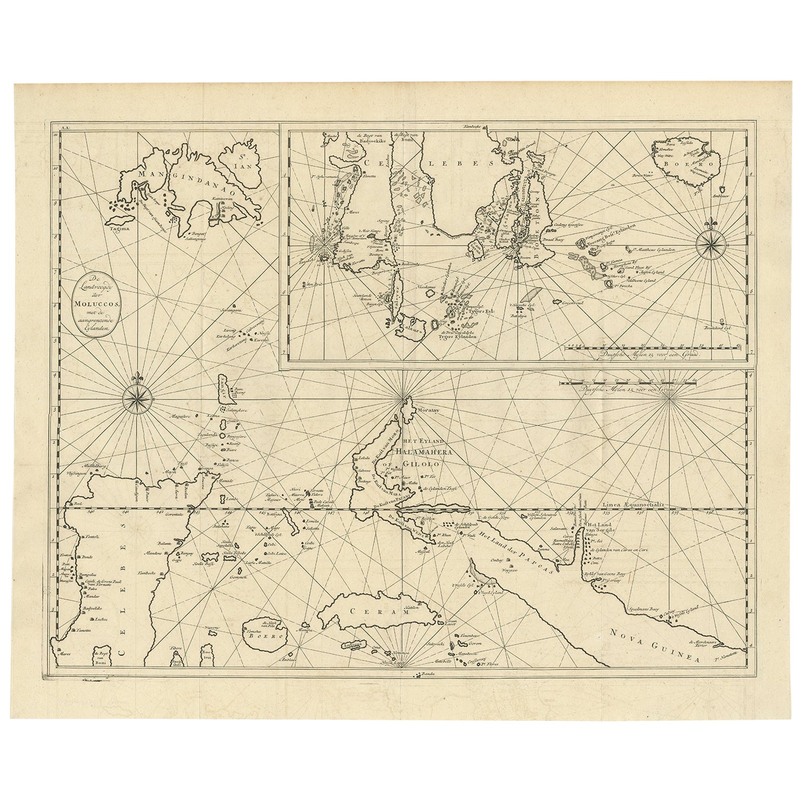
- Large Antique Detailed Map of a Part of the Spice Islands, Indonesia, 1726Located in Langweer, NLAntique matitled 'De Landvoogdy der Moluccos met de aangrenzende Eylanden'. Large detailed map of a part of the Spice Islands. It includes Baru (Boero), Ambon, Seram and part of Ma...Category
Antique 1720s Maps
MaterialsPaper
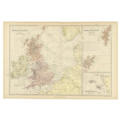
- Colorful Detailed Antique Map of The British Islands and `The North Sea, 1882Located in Langweer, NLDiscover 'The British Islands and The North Sea' Map with Insets of Orkney, Shetland, and Channel Islands! This captivating original antique map offers a detailed view of the British...Category
Antique 1880s Maps
MaterialsPaper


You May Also Like
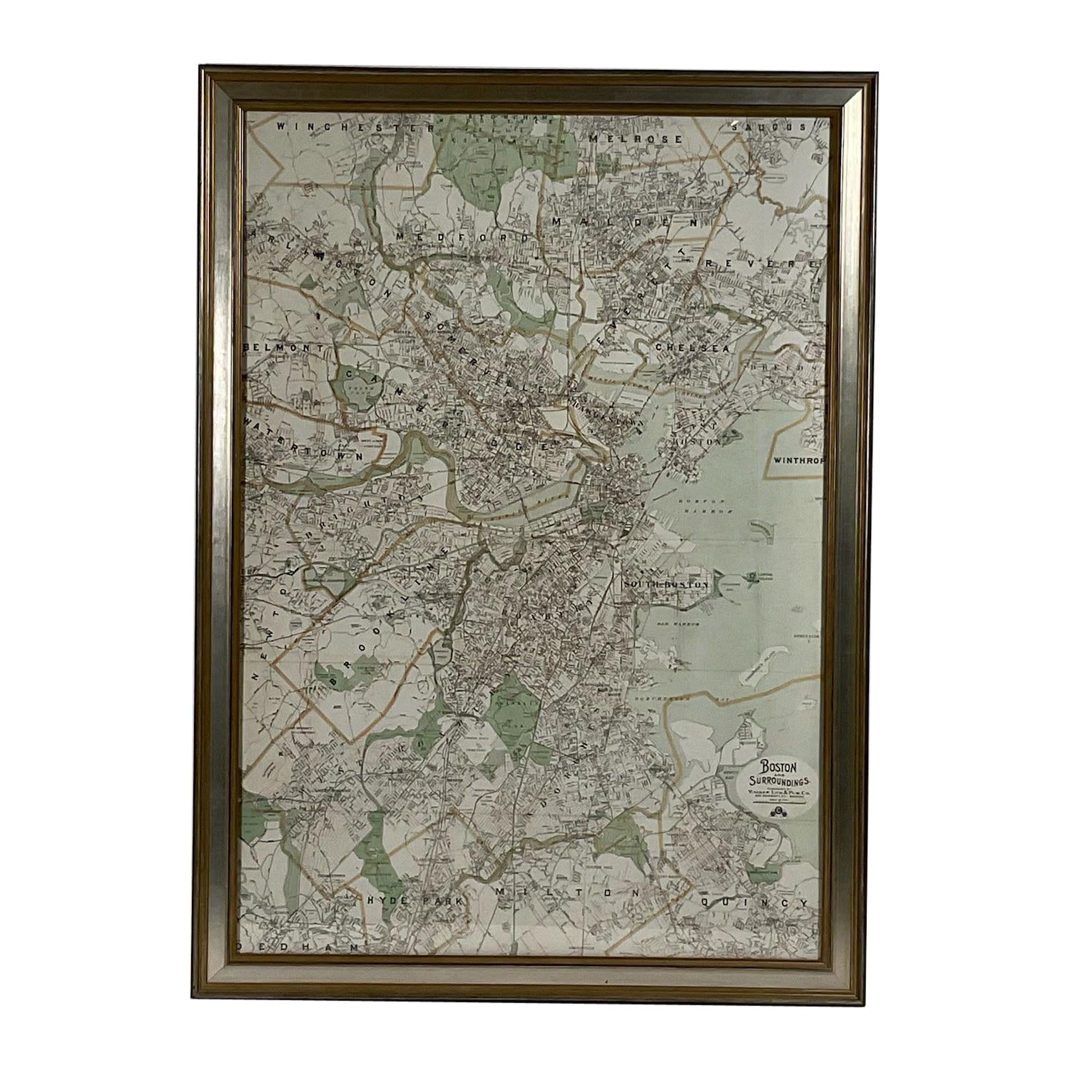
- Map of Boston and Surrounding TownsLocated in Norwell, MALater copy of a nineteenth century map of Boston and surrounding towns. Showing parts of Quincy, Milton, Hyde Park, Winthrop and Revere. Showing all of B...Category
Antique 19th Century North American Maps
MaterialsPaper
- 1854 Map of Massachusetts, Connecticut and Rhode Island, Antique Wall MapLocated in Colorado Springs, COThis striking wall map was published in 1854 by Ensign, Bridgman & Fanning and has both full original hand-coloring and original hardware. This impression is both informative and highly decorative. The states are divided into counties, outlined in red, green, and black, and subdivided into towns. Roads, canals, and railroad lines are prominently depicted, although they are not all labeled. The mapmakers also marked lighthouses, banks, churches, and prominent buildings, with a key at right. The map is an informative and comprehensive overview of the infrastructural development of New England prior to the Civil War. Physical geographies depicted include elevation, conveyed with hachure marks, rivers and lakes. The impression features an inset map of Boston...Category
Antique 19th Century American Maps
MaterialsPaper
- Large Original Antique Map of Rhode Island, USA, C.1900Located in St Annes, LancashireFabulous map of Rhode Island Original color Engraved and printed by the George F. Cram Company, Indianapolis. Published, C.1900 Unframed Free ...Category
Antique 1890s American Maps
MaterialsPaper
- Original Antique Map of Italy. C.1780Located in St Annes, LancashireGreat map of Italy Copper-plate engraving Published C.1780 Unframed.Category
Antique Early 1800s English Georgian Maps
MaterialsPaper

- Original Antique Map of Italy. Arrowsmith. 1820Located in St Annes, LancashireGreat map of Italy Drawn under the direction of Arrowsmith Copper-plate engraving Published by Longman, Hurst, Rees, Orme and Brown, 1820 Unframed.Category
Antique 1820s English Maps
MaterialsPaper
- Antique Map of Italy by Andriveau-Goujon, 1843By Andriveau-GoujonLocated in New York, NYAntique Map of Italy by Andriveau-Goujon, 1843. Map of Italy in two parts by Andriveau-Goujon for the Library of Prince Carini at Palazzo Carini i...Category
Antique 1840s French Maps
MaterialsLinen, Paper


Recently Viewed
View AllMore Ways To Browse
Atlas 42
Large Old Map
Map Collection
Antique Kiel Furniture
Collectible Barbies
Jackson Hole Map
Miles Johnston
Native American Mountie
Toledo Scale Company Antique
Vintage Marthas Vineyard Map
Charente Map
F Colton
Ian Maguire
Ithaca Antique Map
Rand McNally & Co. On Sale
Vintage Butcher Shop Posters
Antique Ornamental Map
Asian Centric World Map