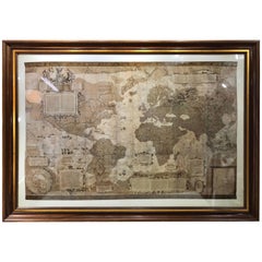
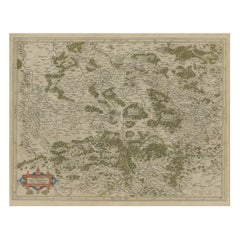
Large-Scale Map of the World After Mercator, 1569, 20th Century Printing
View Similar Items


Want more images or videos?
Request additional images or videos from the seller
1 of 9
Large-Scale Map of the World After Mercator, 1569, 20th Century Printing
About the Item
- Similar to:Gerard Mercator (Artist)
- Dimensions:Height: 42.5 in (107.95 cm)Width: 59.5 in (151.13 cm)Depth: 2.5 in (6.35 cm)
- Style:Renaissance (In the Style Of)
- Materials and Techniques:
- Period:
- Date of Manufacture:Late 20th Century
- Condition:Wear consistent with age and use. This item is in "Excellent Vintage Condition". This item is not new, some signs of use and wear are apparent, anything significant would be noted/pictured, customer satisfaction is our priority.
- Seller Location:West Palm Beach, FL
- Reference Number:Seller: 000051581stDibs: LU259238327163
About the Seller
5.0
Platinum Seller
These expertly vetted sellers are 1stDibs' most experienced sellers and are rated highest by our customers.
Established in 1996
1stDibs seller since 2017
1,094 sales on 1stDibs
Typical response time: 1 hour
More From This SellerView All
- Large Antique French Neoclassical Brass ScaleLocated in West Palm Beach, FLLarge Antique French Neoclassical Brass Scale, by Berenger & Co, Lyon France, Circa 1870 A stunning Large Antique French Neoclassical Brass Scale, crafted by the renowned Berenger & Co of Lyon during the mid to late 19th Century. This remarkable brass shop keepers, assay or pharmacist scale...Category
Antique Late 19th Century French Neoclassical Scientific Instruments
MaterialsBrass
 $2,280 Sale Price20% Off
 - After Roy Lichtenstein "Thinking of Him"Located in West Palm Beach, FLAfter Roy Lichtenstein Thinking of Him Published by New York Graphic Society 24"x 30" print 26" x 32" black lacquer frame.Category
Late 20th Century American Modern Prints
MaterialsGlass, Lacquer, Paper
 $772 Sale Price20% Off
 - 'World Chronicle', 1st Edition, by Schedel & Wolgemut, Nurnberg, 1493Located in West Palm Beach, FL'World Chronicle' 1st edition, by Schedel, Nurnberg, 1493 Original woodcut, one page with seven illustrations and Latin text By Hartmann Schedel, originally published: July 12, 1493 Illustrator: Michael...Category
Antique 15th Century and Earlier German Renaissance Books
MaterialsPaper
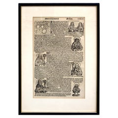 $716 Sale Price20% Off
 - Pair of 20th Century Decorative Venetian Canal Paintings, After CanalettoBy Giovanni Antonio Canal (Canaletto)Located in West Palm Beach, FLPair of 20th Century decorative Venetian canal paintings, After Canaletto Each one Signed 'Maffel' A stunning pair of late 20th Century oils on canvas, views of the Grand Canal in Venice Italy, in ornate carved giltwood frames. After works by the iconic Venetian painter...Category
20th Century European Baroque Paintings
MaterialsCanvas, Giltwood
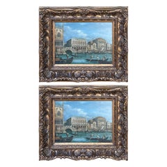 $2,360 Sale Price / set20% Off
 - 19th Century French Grand Tour Iron Model of the Arc de TriompheLocated in West Palm Beach, FL19th century French grand tour iron model of the Arc de Triomphe, in two parts, the fine cast iron model of the Arc de Triomphe with a mirrored top. Raised on a oval ebonized wood and metal chain link fenced base Model of Arc de Triomphe...Category
Antique Late 19th Century French Grand Tour Architectural Models
MaterialsMetal, Iron
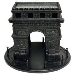 $1,160 Sale Price / set20% Off
 - Large Grand Tour Bronze Model of the Place Vendôme, With NapoleonLocated in West Palm Beach, FLLarge Grand Tour Bronze Model of the Place Vendôme, With Napoleon France, circa 1870s This exceptional Grand Tour bronze model of the Place Vendôme, dating back to the 1870s in France, is a magnificent tribute to history and artistry. Standing at an impressive height of 26 inches and mounted on a 6.75-inch square Belgian Black Marble base with a bronze fence...Category
Antique 19th Century French Grand Tour Architectural Models
MaterialsBelgian Black Marble, Bronze
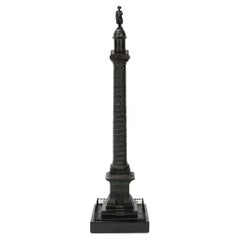 $5,560 Sale Price20% Off
You May Also Like
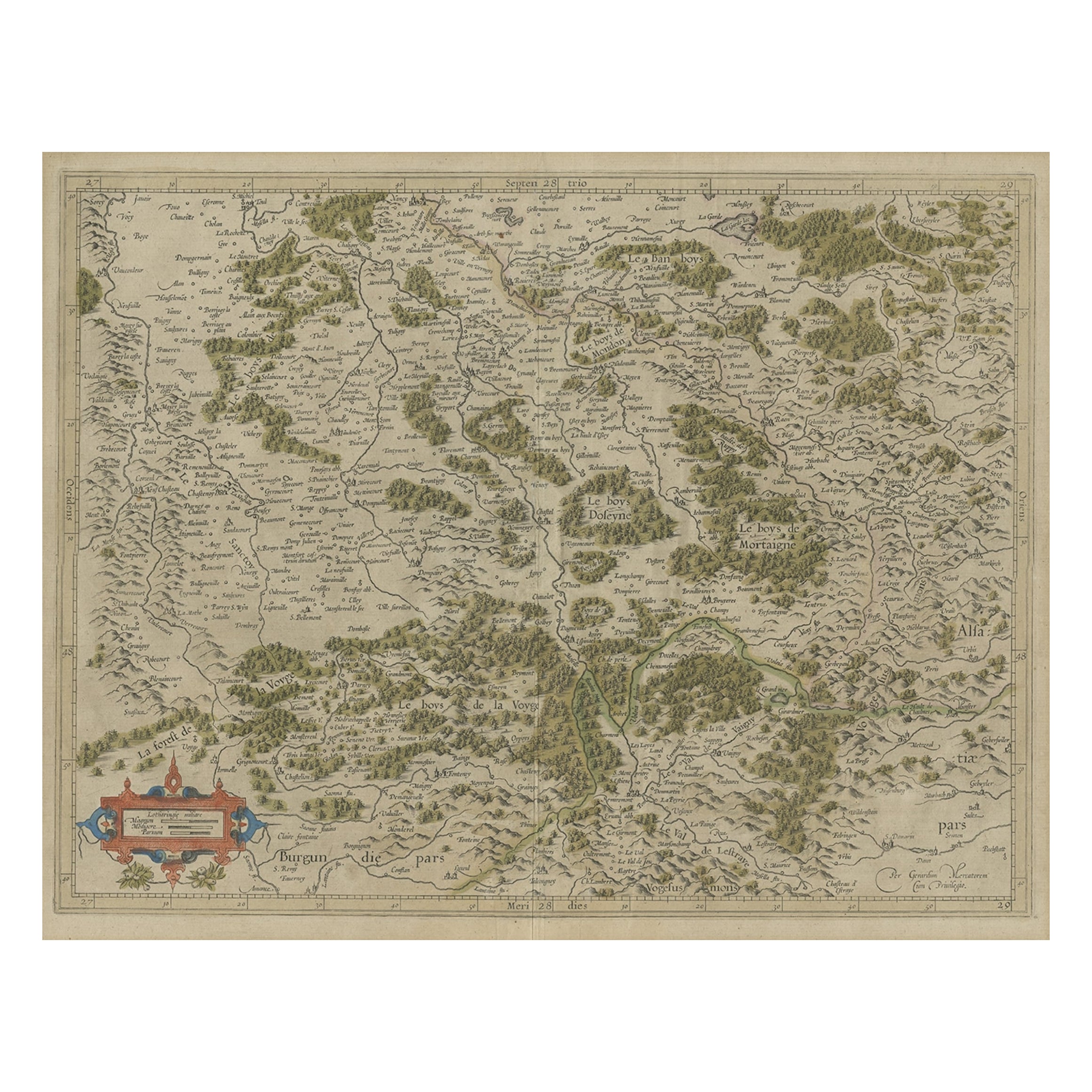
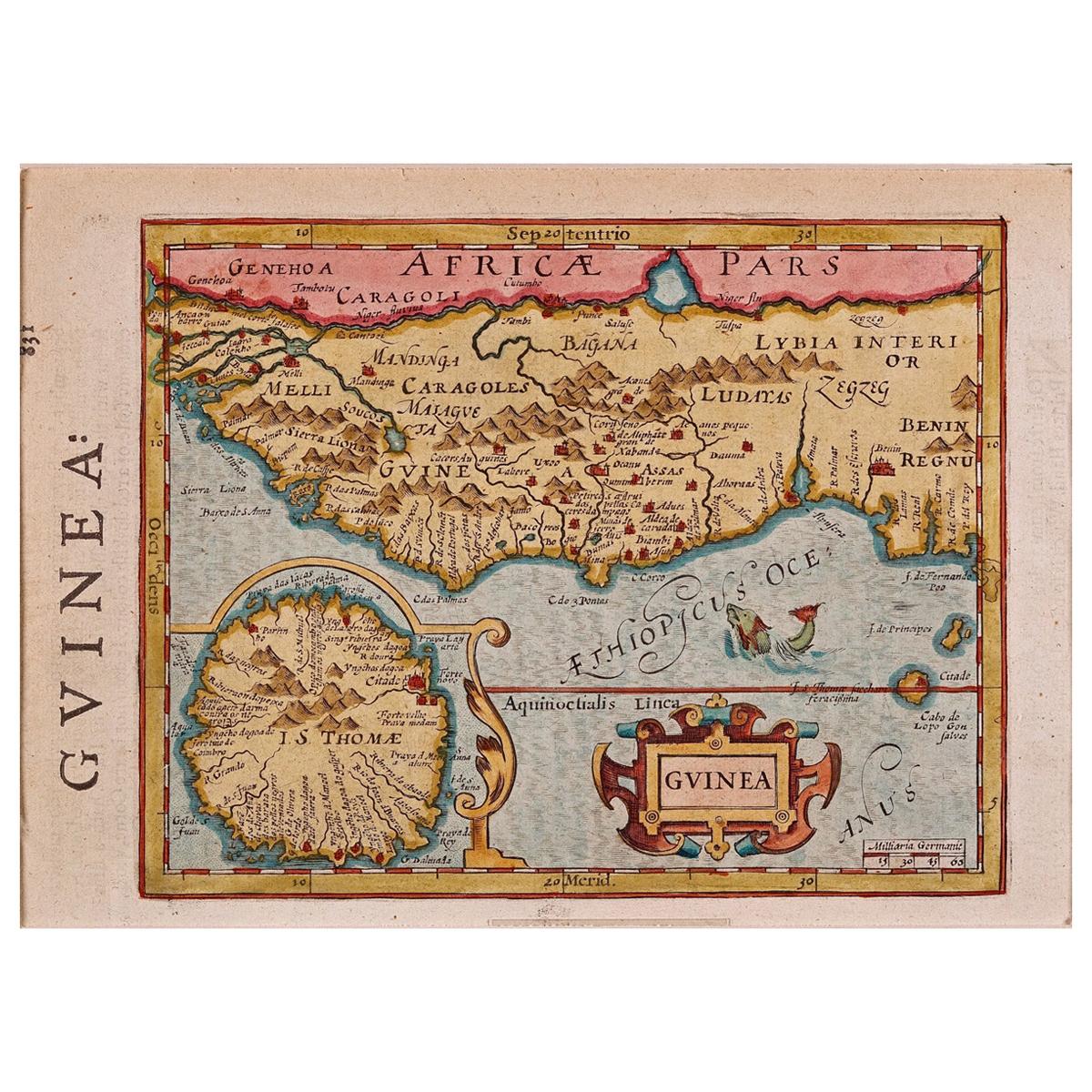
- Antique Map of the Southern Lorraine Region by Mercator, c.1625By Gerard MercatorLocated in Langweer, NLAntique map titled 'Lotharingiae Ducatus'. Old map of the southern portion of the Lorraine region, France. Lorraine is a cultural and historical region in north-eastern France, now l...Category
Antique 17th Century Maps
MaterialsPaper
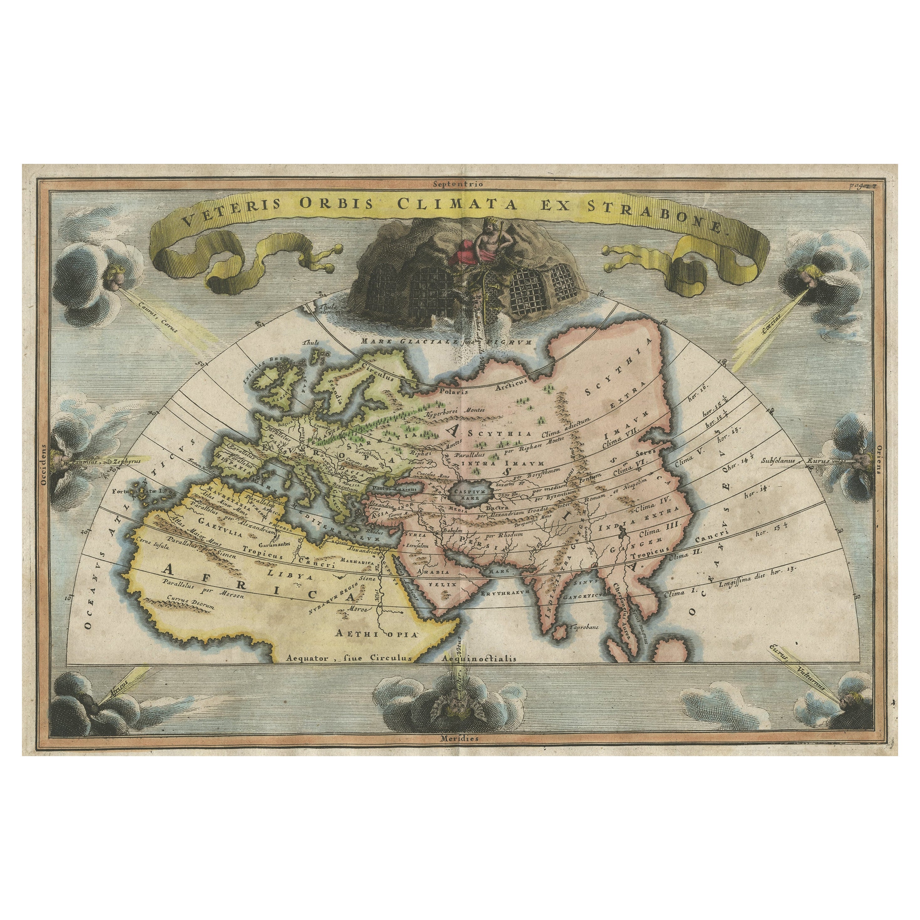
- Northern Scotland: A 17th Century Hand-colored Map by MercatorBy Gerard MercatorLocated in Alamo, CAThis is a framed hand-colored 17th century map of Northern Scotland by Gerard Mercator entitled "Scotiae pars Septentrionalis", published in Amsterdam in 1636. It is a highly detailed map of the northern part of Scotland, with the northwest Highlands and the cities Inverness and Aberdeen, as well as the Orkney Islands and the Hebrides. There is a decorative title cartouche in the upper left corner. The map is presented in an antiqued brown wood...Category
Antique 1630s Dutch Maps
MaterialsPaper
- Northern Scotland: A 16th Century Hand-colored Map by MercatorBy Gerard MercatorLocated in Alamo, CAA framed hand-colored 16th century map of Northern Scotland by Gerard Mercator entitled "Scotiae pars Septentrionalis", published in Amsterdam in 1636. It is a highly detailed map of the northern part of Scotland, with the northwest Highlands and the cities Inverness and Aberdeen, as well as the Orkney Islands and the Hebrides. There is a decorative title cartouche in the upper left corner. The map is presented in an antiqued brown wood...Category
Antique 16th Century Dutch Maps
MaterialsPaper
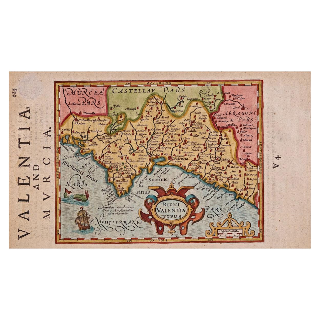
- Antique Map of the World on Mercator's Projection, 1788Located in Langweer, NLAntique map titled 'Kaart van de Geheele Wereld (..)'. Uncommon small world map on Mercator's projection. Nice detail of the islands throughout the wor...Category
Antique Late 18th Century Maps
MaterialsPaper
 $657 Sale Price20% Off
 - 17th Century Hand-Colored Map of Southeastern England by Mercator and HondiusBy Gerard MercatorLocated in Alamo, CAA 17th century copperplate hand-colored map entitled "The Sixt Table of England" by Gerard Mercator and Jodocus Hondius, published in Amsterdam in 1635 in 'Cosmographicall Descriptio...Category
Antique Mid-17th Century Dutch Maps
MaterialsPaper
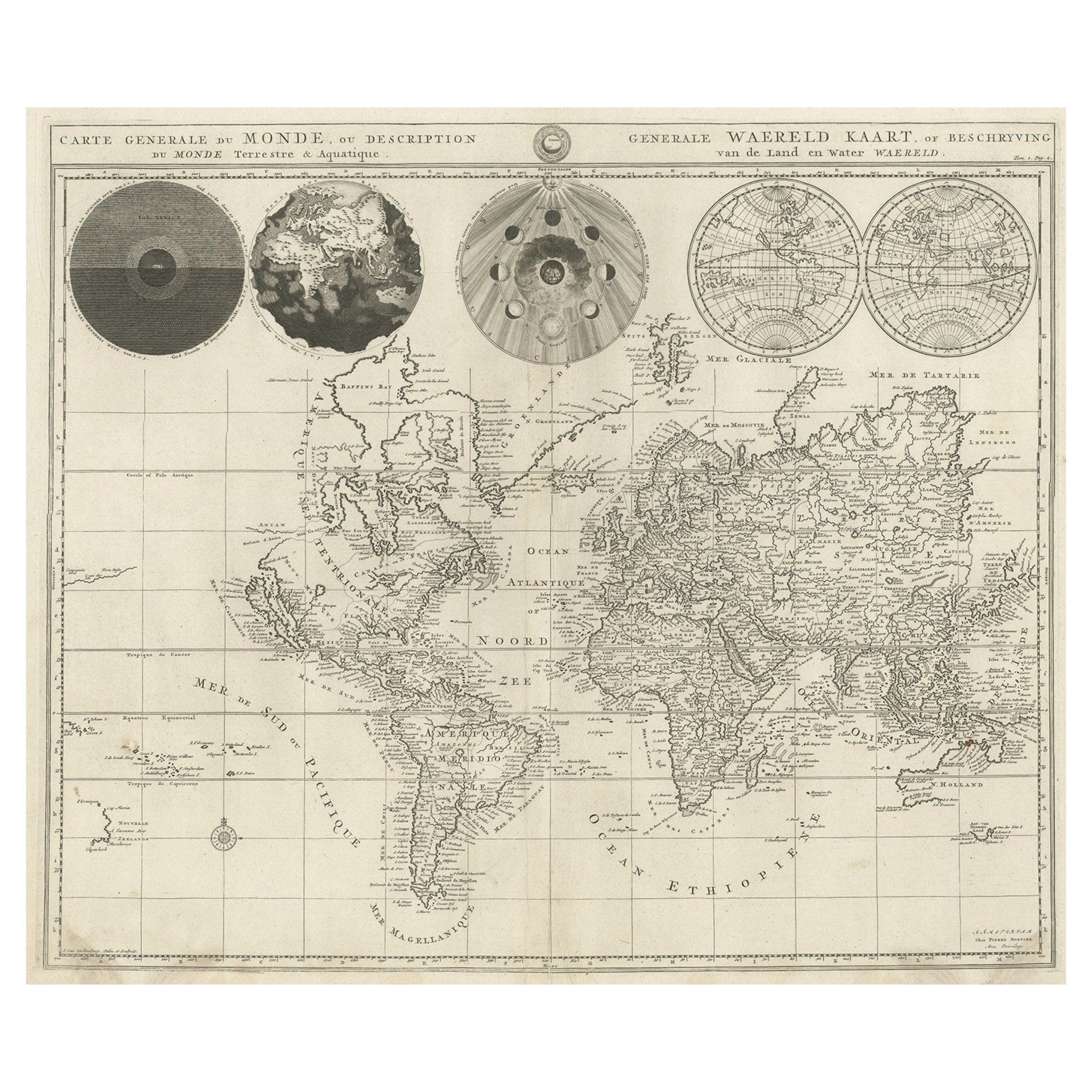
- Antique Map of the World, Mercator Projection, by Wyld, '1845'Located in Langweer, NLAntique map titled 'The World'. Original antique world map, on Mercator's projection. This map originates from 'An Atlas of the World, Compr...Category
Antique Mid-19th Century Maps
MaterialsPaper


Recently Viewed
View AllMore Ways To Browse
Vintage Beach Maps
Mercator Framed
Antique Furniture South East London
Antique Island Caribbean
Teak Sphere
Atlas Stand
Antique Battle Maps
Reclaimed Lumber
Map Of Virginia
Antique Pirate
Bag With Map
Pirate Antique
Bonne Map
George Fleet
Antique Map Ireland
Antique Map Of Ireland
Antique Maps Of Ireland
Antique Irish Maps