Items Similar to Nice Detailed Antique Miniature Map of the Burgundy Wine Region, France, ca.1683
Want more images or videos?
Request additional images or videos from the seller
1 of 5
Nice Detailed Antique Miniature Map of the Burgundy Wine Region, France, ca.1683
About the Item
Antique map titled 'Royaume de Bourgogne sous la Race des Roys Bourguignons (..)'.
Detailed miniature map of the Burgundy region, France. Originates from Mallet's 'Description de l'Univers'.
Artists and Engravers: Alain Manneson Mallet (1630-1706) spent the first part of his career as a foot soldier in one the regiments of Louis XIV, becoming a sergeant-major of artillery and then an inspector of fortifications. After leaving the army he specialised in the publication of books describing both scientific and practical aspects of military engineering.
Condition: Good, general age-related toning. Small piece of paper is stuck to the image. French text on verso, minor wear. Please study image carefully.
- Dimensions:Height: 7.49 in (19 cm)Width: 5.32 in (13.5 cm)Depth: 0 in (0.02 mm)
- Materials and Techniques:
- Period:1680-1689
- Date of Manufacture:circa 1683
- Condition:
- Seller Location:Langweer, NL
- Reference Number:
About the Seller
5.0
Platinum Seller
These expertly vetted sellers are 1stDibs' most experienced sellers and are rated highest by our customers.
Established in 2009
1stDibs seller since 2017
1,919 sales on 1stDibs
Typical response time: <1 hour
- ShippingRetrieving quote...Ships From: Langweer, Netherlands
- Return PolicyA return for this item may be initiated within 14 days of delivery.
More From This SellerView All
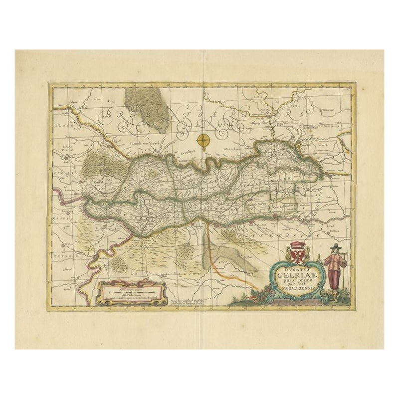
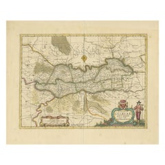
- Antique Map of the Region of Zutphen in Overijssel, The Netherlands, 1683Located in Langweer, NLAntique map titled 'Ducatus Gelriae pars prima Quae est Neomagensis'. Antique map of the region of Zutphen, Gelderland, the Netherlands. This map originates from 'The English Atlas' ...Category
Antique 17th Century Maps
MaterialsPaper
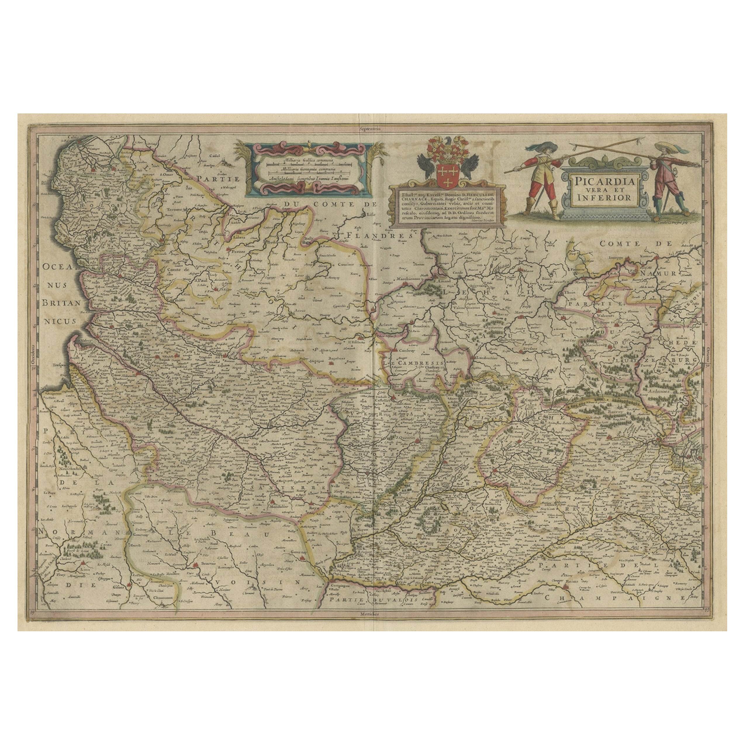
- Detailed Original Antique Map of the Picardy Region of France, 1657Located in Langweer, NLAntique map of France titled 'Picardia vera et inferior'. Detailed map of the Picardy region of France. This map originates from 'Atlas Novus, Sive Theatrum Orbis Orbis Terrarum:...Category
Antique 1650s Maps
MaterialsPaper
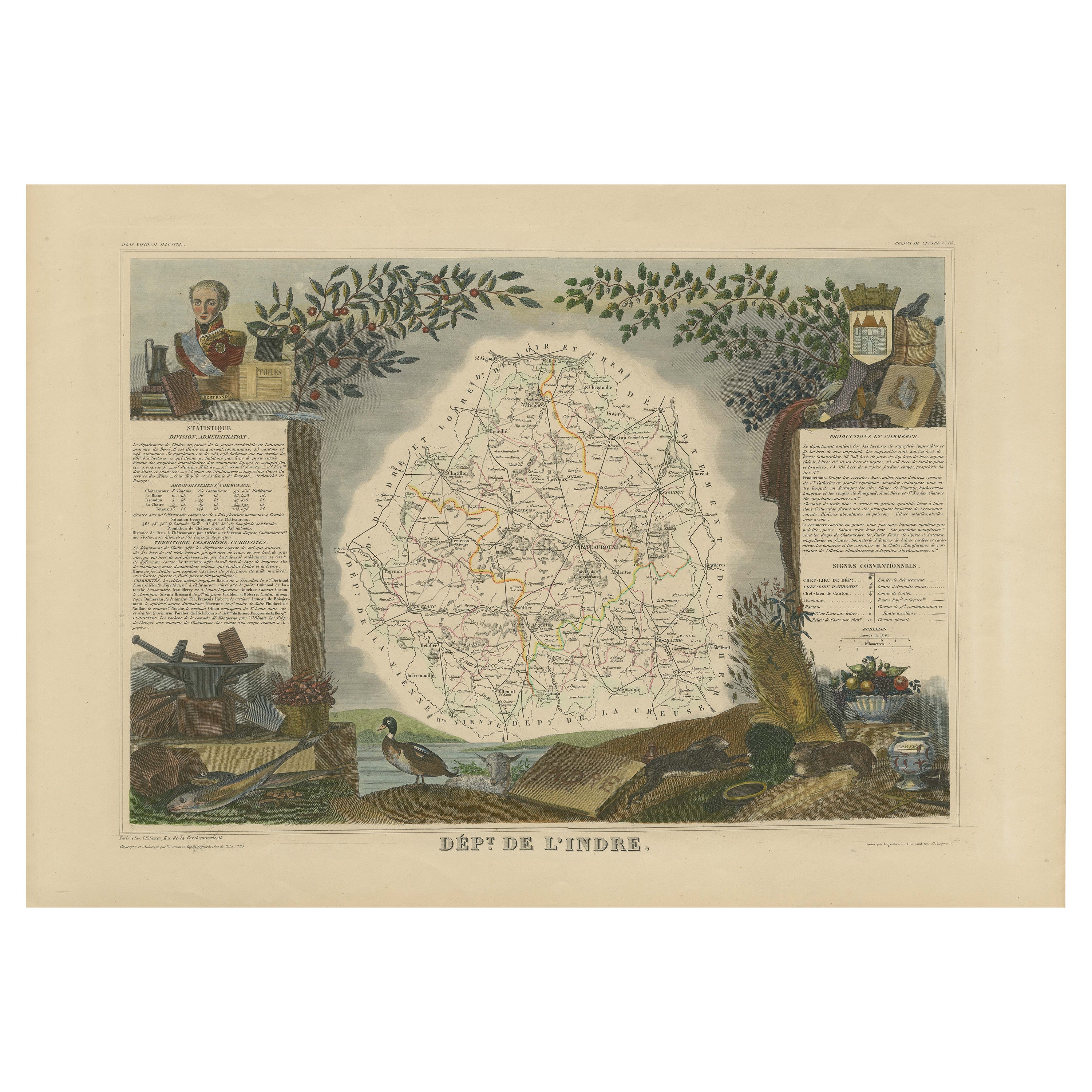
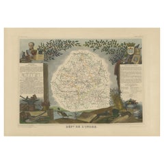
- Antique Map of the Indre Region in France, ca. 1852Located in Langweer, NLAntique map titled 'Dépt. de l'Indre'. Map of the French department of Indre, France. Part of the Loire Valley wine region, this area is known for its production of Chinon wines, typically red, and production of Pouligny-Saint-Pierre, goats'-milk cheese. It is also the birthplace of the great philosopher Rene Descartes...Category
Antique Mid-19th Century Maps
MaterialsPaper
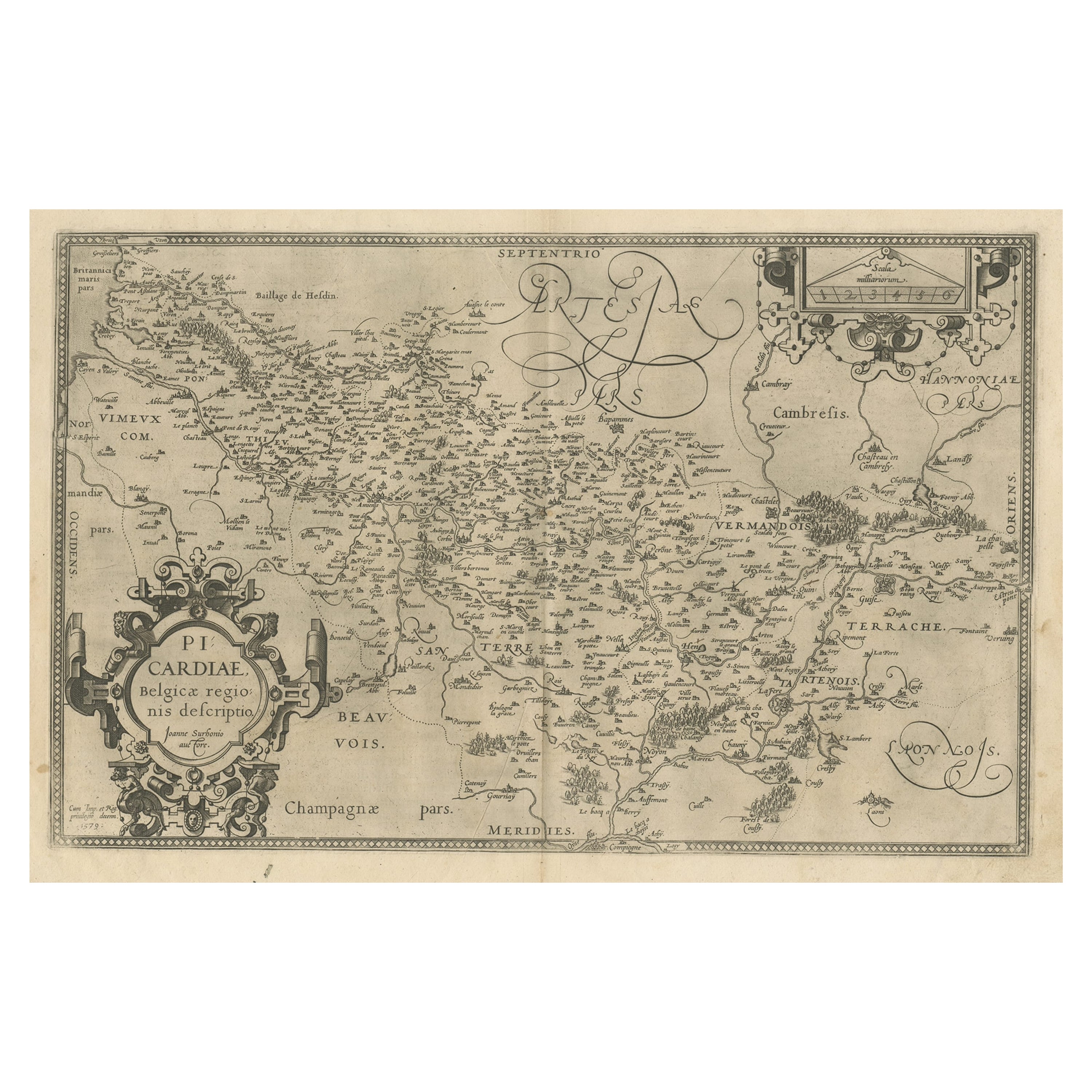
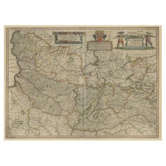
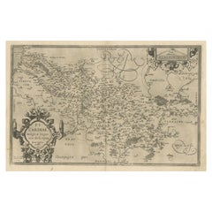
- Original Antique Map of the Region of Picardy, France, ca.1602Located in Langweer, NLAntique map titled 'Picardiae Belgicae regionis descriptio'. Original antique map of the region of Picardy, France. Superb example of the decorative style of Ortelius and filled ...Category
Antique Early 1600s Maps
MaterialsPaper
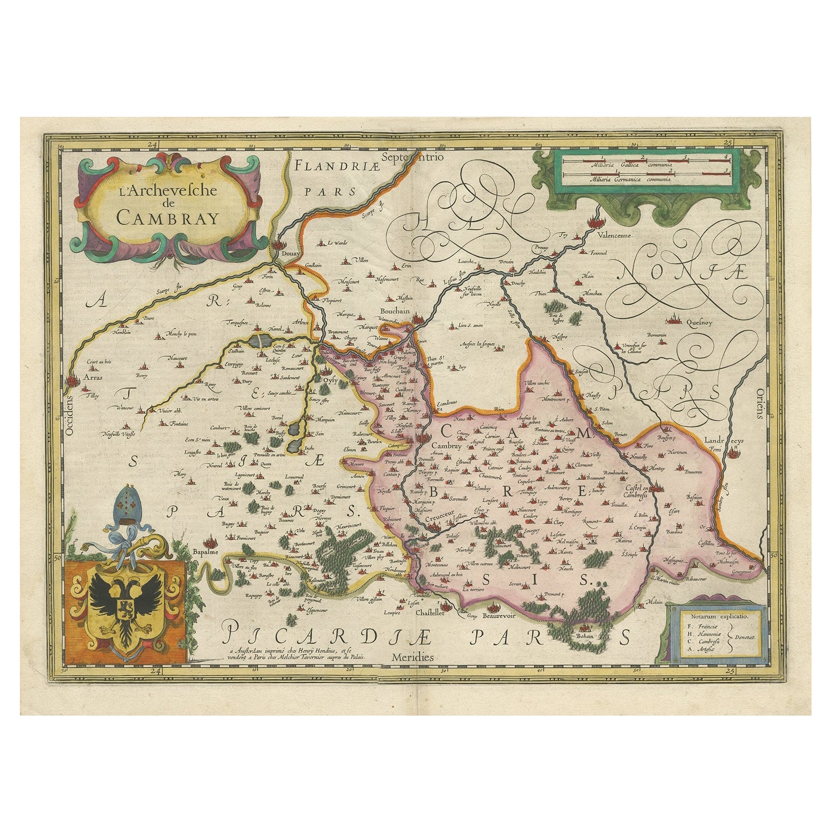
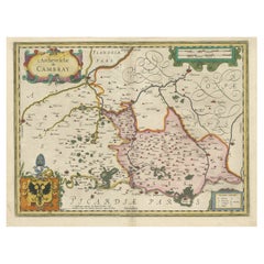
- Decorative Antique Map of the Region of Cambrai, France, ca.1630Located in Langweer, NLAntique map titled 'l'Archevesche de Cambray'. Decorative map of the region of Cambrai, France. Includes the cities of Cambrai, Valencienes, Douai, and Bouchain. Artists and Engravers: Henricus...Category
Antique 1630s Maps
MaterialsPaper
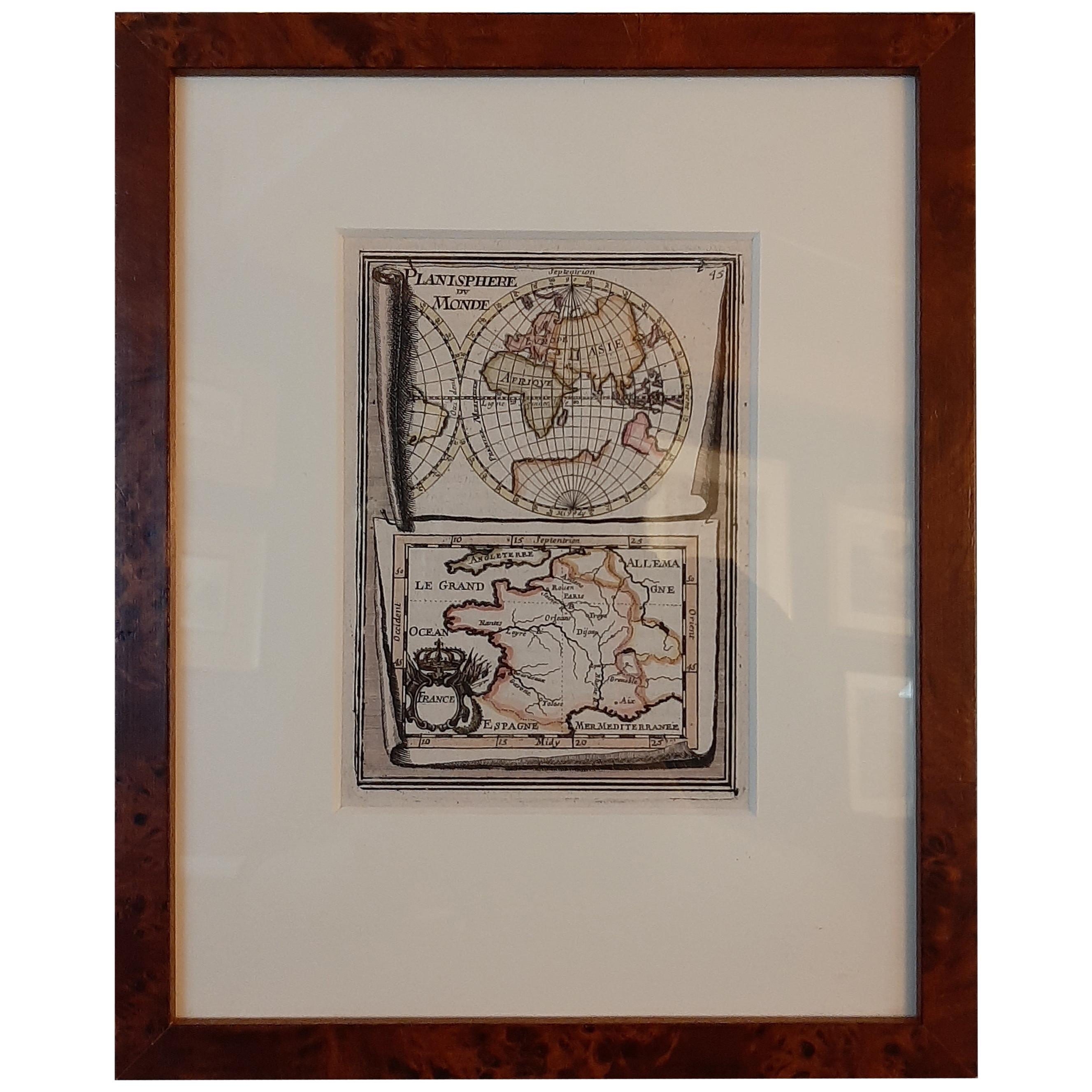
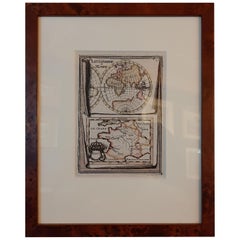
- Antique Miniature Map of the Old World and France by Mallet, circa 1683Located in Langweer, NLAntique map titled 'Planisphere du Monde - France'. Two miniature maps on one sheet. The upper map shows a hemisphere of the Old World. The lower map shows France. This map originate...Category
Antique Late 17th Century Maps
MaterialsPaper
You May Also Like
- The Normandy Region of France: A 17th C. Hand-colored Map by Sanson and JaillotBy Nicolas SansonLocated in Alamo, CAThis large hand-colored map entitled "Le Duché et Gouvernement de Normandie divisée en Haute et Basse Normandie en divers Pays; et par evêchez, avec le Gouvernement General du Havre ...Category
Antique 1690s French Maps
MaterialsPaper
- Original Antique Map of France, Arrowsmith, 1820Located in St Annes, LancashireGreat map of France Drawn under the direction of Arrowsmith. Copper-plate engraving. Published by Longman, Hurst, Rees, Orme and Brown, 1820 Unframed.Category
Antique 1820s English Maps
MaterialsPaper
- 17th Century Hand Colored Map of the Liege Region in Belgium by VisscherBy Nicolaes Visscher IILocated in Alamo, CAAn original 17th century map entitled "Leodiensis Episcopatus in omnes Subjacentes Provincias distincté divisusVisscher, Leodiensis Episcopatus" by Nicolaes Visscher II, published in Amsterdam in 1688. The map is centered on Liege, Belgium, includes the area between Antwerp, Turnhout, Roermond, Cologne, Trier and Dinant. This attractive map is presented in a cream-colored mat measuring 30" wide x 27.5" high. There is a central fold, as issued. There is minimal spotting in the upper margin and a tiny spot in the right lower margin, which are under the mat. The map is otherwise in excellent condition. The Visscher family were one of the great cartographic families of the 17th century. Begun by Claes Jansz Visscher...Category
Antique Late 17th Century Dutch Maps
MaterialsPaper
- 17th Century Topographical Map, French Champagne Region, Epernay, Iohan PeetersLocated in New York, NYFine topographical 17th century map by Iohan Peeters of the towns of Epernay and Lametz in the Champagne Region of North Eastern France. Fabulous period engraving for a Wine Cellar,...Category
Antique 17th Century Dutch Maps
MaterialsPaper
- Map of the Republic of GenoaLocated in New York, NYFramed antique hand-coloured map of the Republic of Genoa including the duchies of Mantua, Modena, and Parma. Europe, late 18th century. Dimension: 25...Category
Antique Late 18th Century European Maps
- Antique Map of Principality of MonacoBy Antonio Vallardi EditoreLocated in Alessandria, PiemonteST/619 - "Old Geographical Atlas of Italy - Topographic map of ex-Principality of Monaco" - ediz Vallardi - Milano - A somewhat special edition ---Category
Antique Late 19th Century Italian Other Prints
MaterialsPaper


