Items Similar to Old Map of Region Champagne-Ardenne with Reims, Troyes & Épernay in France, 1759

Want more images or videos?
Request additional images or videos from the seller
1 of 7
Old Map of Region Champagne-Ardenne with Reims, Troyes & Épernay in France, 1759
About the Item
Antique map titled 'Tabula Geographica Campaniae (..).'
Detailed map of the Champagne region in France by J. B. Homann, covering the region Champagne-Ardenne with Reims, Troyes and Épernay. The map shows an allegoric cartouche as well as two city views; Reimes and Troyes. Source unknown, to be determined.
Artists and Engravers: Following the long period of Dutch domination, the Homann family became the most important map publishers in Germany in the eighteenth century, the business being founded by J.B. Homann in Nuremberg about the year 1702. Soon after publishing his first atlas in 1707 he became a member of the Berlin academy of Sciences and in 1715 he was appointed Geographer to the Emperor. After the founder's death in 1724, the firm was continued under the direction of his son until 1730 and was then bequeathed to his heirs on the condition that it trades under the name of Homann Heirs. The firm remained in being until the next century and had a wide influence on map publishing in Germany. Apart from the atlases the firm published a very large number of individual maps. The Homanns produced a Neuer Atlas in 1714, a Grosser Atlas in 1737, and an Atlas Maior with about 300 maps in 1780. They also issued a special Atlas of Germany with full sized plans of principal cities, school atlases and an Atlas of Silesia in 1750 with 20 maps.
- Dimensions:Height: 24.93 in (63.3 cm)Width: 21.07 in (53.5 cm)Depth: 0 in (0.02 mm)
- Materials and Techniques:
- Period:1750-1759
- Date of Manufacture:circa 1759
- Condition:Condition: Good, given age. Right side damp stained, extending 1 cm into image. Small tear top edge, not affecting image. Light staining and soiling in the margins. A few small spots. Original middle fold as issued. General age-related toning.
- Seller Location:Langweer, NL
- Reference Number:
About the Seller
5.0
Platinum Seller
These expertly vetted sellers are 1stDibs' most experienced sellers and are rated highest by our customers.
Established in 2009
1stDibs seller since 2017
1,932 sales on 1stDibs
Typical response time: <1 hour
- ShippingRetrieving quote...Ships From: Langweer, Netherlands
- Return PolicyA return for this item may be initiated within 14 days of delivery.
More From This SellerView All
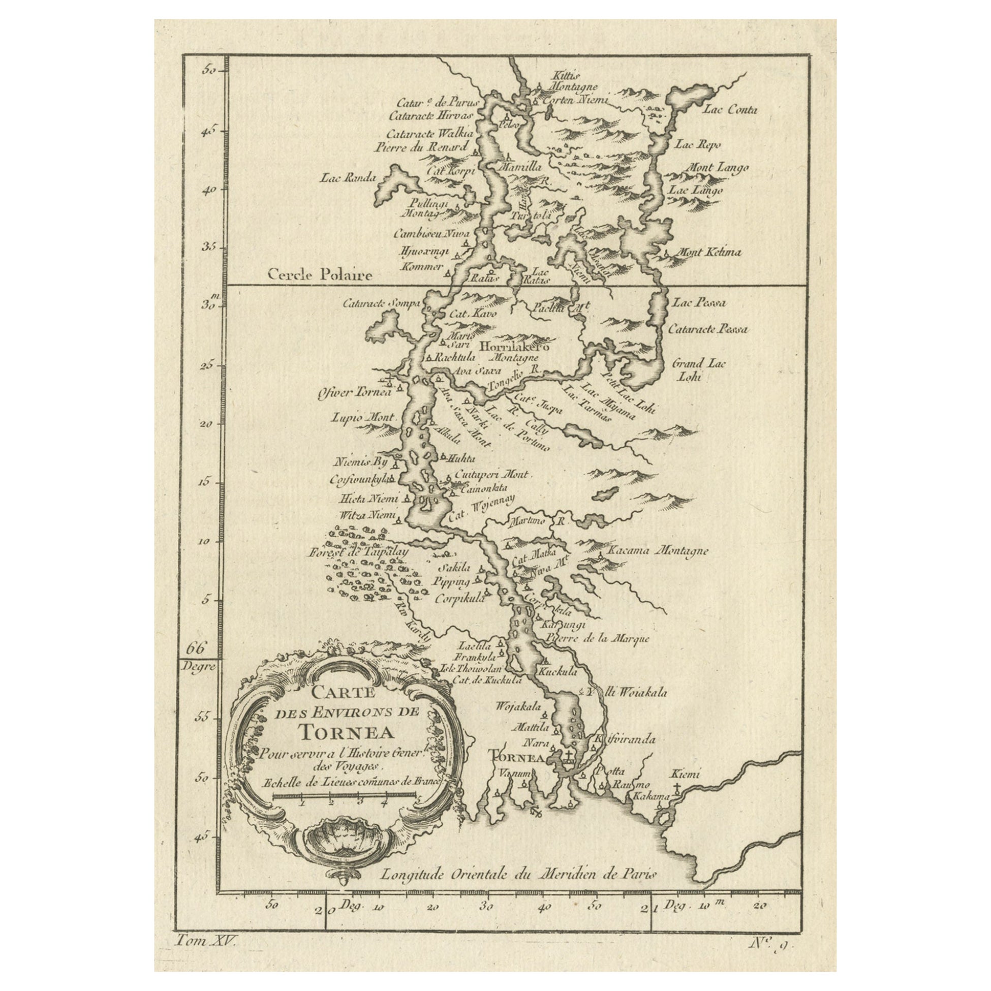
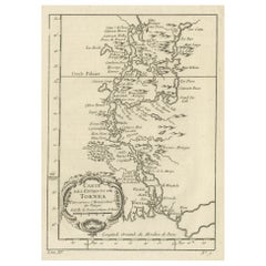
- Original Antique Map of the Region of Torneå 'Tornio' in Northern Finland, 1759Located in Langweer, NLAntique map titled 'Carte des Environs de Tornea'. Original antique map of the region of Torneå (or Tornio), in northern Finland. This print originates from volume 19 of 'Histoir...Category
Antique 1750s Maps
MaterialsPaper
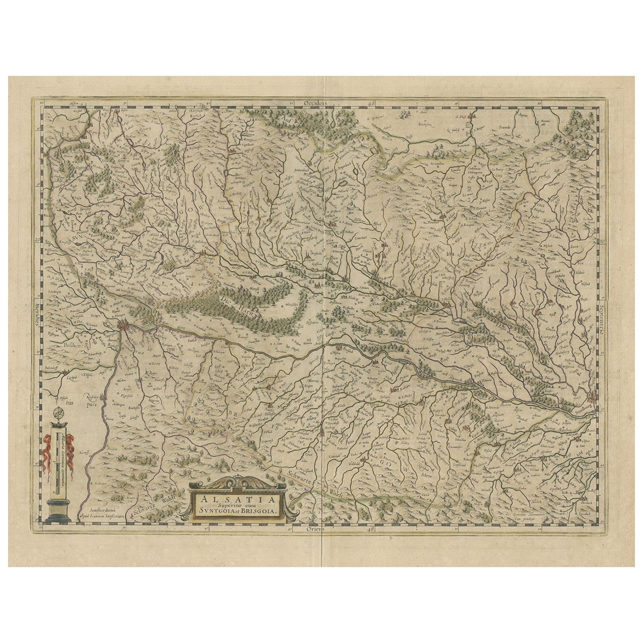
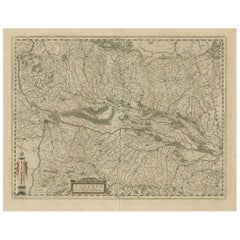
- Old Map of the Alsace 'Elzas' Region with Lotharingen 'Lorraine', France, c1650Located in Langweer, NLAntique map titled 'Alsatia superior cum Suntgoia et Brisgoia'. Old map of the Alsace (or Elzas) region with Lotharingen (Lorraine), Strassburg, Freiburg, Basel etc. Source unkno...Category
Antique 1650s Maps
MaterialsPaper
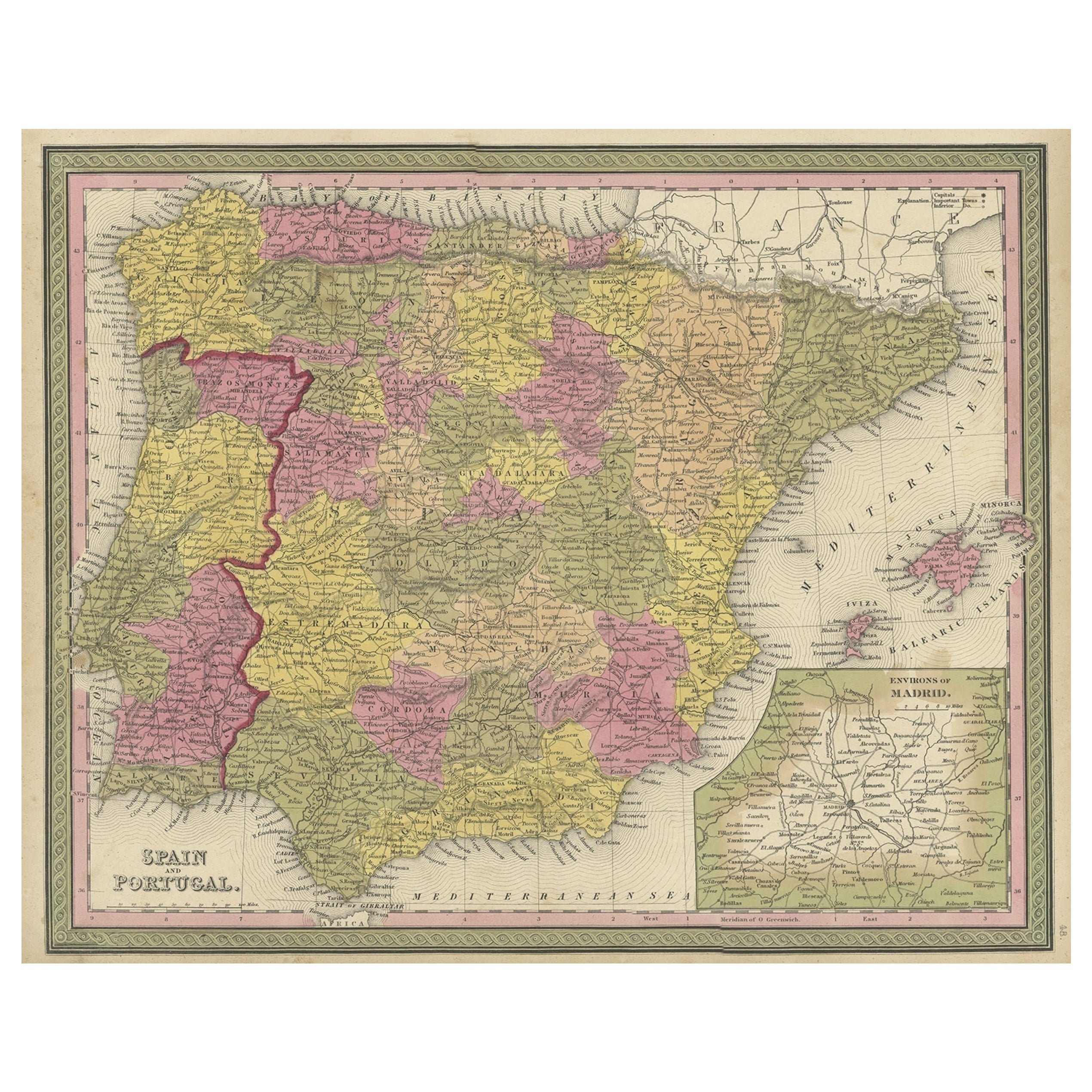
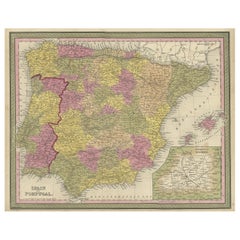
- Old Map of Spain and Portugal, with an Inset Map of the Region of Madrid, 1846Located in Langweer, NLAntique map titled 'Kingdom of Spain and Portugal'. Old map of Spain and Portugal, with an inset map of the region of Madrid. This map originates from 'A New Universal Atlas Cont...Category
Antique 1840s Maps
MaterialsPaper
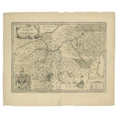
- Antique Map of the Region of Cambrai in France, c.1630Located in Langweer, NLAntique map titled 'l'Archevesche de Cambray'. Decorative map of the region of Cambrai, France. Includes the cities of Cambrai, Valencienes, Douai, and Bouchain. Artists and Engrav...Category
Antique 17th Century Maps
MaterialsPaper
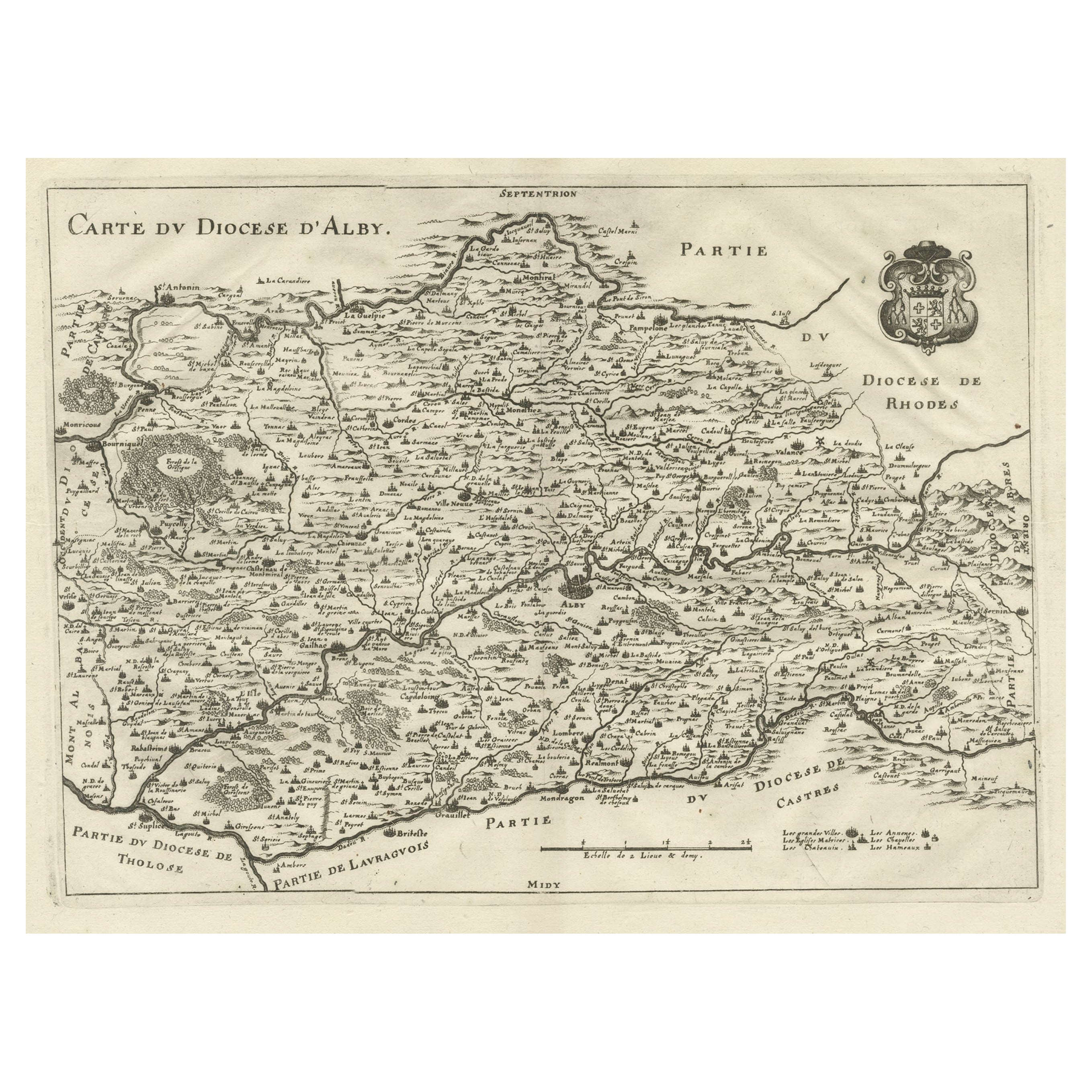
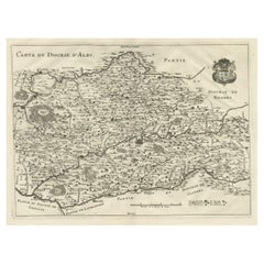
- Original Old Copper Engraved Map of the Region of Albi, Southern France, 1663Located in Langweer, NLAntique map titled 'Carte du Diocese d'Alby'. Original antique map of the region of Albi in Southern France. This map originates from 'Topographia Galliae dat is eene algemeene e...Category
Antique 1660s Maps
MaterialsPaper
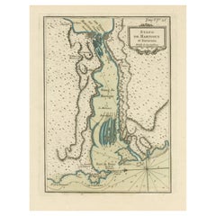
- Antique Map of the Region of Martigues, FranceLocated in Langweer, NLTitle: "Etang de Martigues et Environs: Antique Map of the Martigues Region, France" Description: This antique map, titled "Etang de Martigue et Environs," offers a detailed view of...Category
Antique Mid-18th Century Maps
MaterialsPaper
You May Also Like
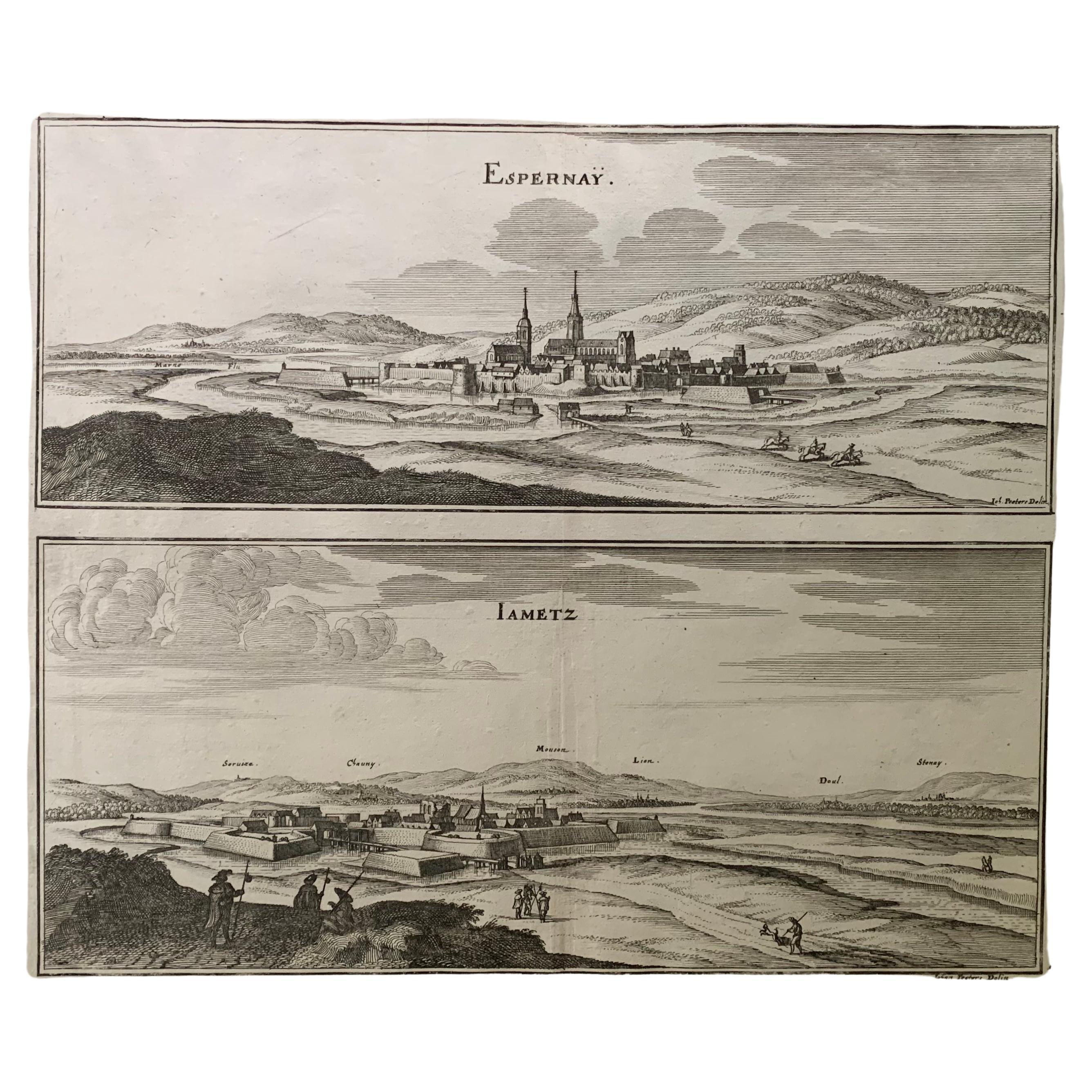
- 17th Century Topographical Map, French Champagne Region, Epernay, Iohan PeetersLocated in New York, NYFine topographical 17th century map by Iohan Peeters of the towns of Epernay and Lametz in the Champagne Region of North Eastern France. Fabulous period engraving for a Wine Cellar,...Category
Antique 17th Century Dutch Maps
MaterialsPaper
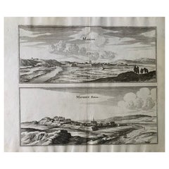
- 17th Century Topographical Map, Champagne-Ardenne, Marsal, Maubert Iohan PeetersLocated in New York, NYFine topographical 17th century map by Iohan Peeters of Marsal and Maubert Fontaine in the Champagne-Ardennes Region of North Eastern France. Fabulous period engraving for a Wine Ce...Category
Antique 17th Century Dutch Maps
MaterialsPaper
- Old Nautical Map of CorsicaLocated in Alessandria, PiemonteST/556/1 - Old map of Corsica isle, surveyed by Captain Hell, of the French Royal Navy in 1824, engraved and published on 1874, with additions and corre...Category
Antique Early 19th Century English Other Prints
MaterialsPaper
- Old Horizontal Map of EnglandBy TassoLocated in Alessandria, PiemonteST/520 - Old rare Italian map of England, dated 1826-1827 - by Girolamo Tasso, editor in Venise, for the atlas of M.r Le-Sage.Category
Antique Early 19th Century Italian Other Prints
MaterialsPaper
- 17th Century Hand-Colored Map of a Region in West Germany by JanssoniusBy Johannes JanssoniusLocated in Alamo, CAThis attractive highly detailed 17th century original hand-colored map is entitled "Archiepiscopatus Maghdeburgensis et Anhaltinus Ducatus cum terris adjacentibus". It was published ...Category
Antique Mid-17th Century Dutch Maps
MaterialsPaper
- The Normandy Region of France: A 17th C. Hand-colored Map by Sanson and JaillotBy Nicolas SansonLocated in Alamo, CAThis large hand-colored map entitled "Le Duché et Gouvernement de Normandie divisée en Haute et Basse Normandie en divers Pays; et par evêchez, avec le Gouvernement General du Havre ...Category
Antique 1690s French Maps
MaterialsPaper


Recently Viewed
View AllMore Ways To Browse
Engraved With B
May Champagne
Dutch School Antique
Large City Maps
Antique School Map
Antique School Maps
Large Antique City Maps
Map Berlin
Berlin Maps
Old School Maps
French School Map
School Map Of France
Champagne Map
Epernay France
Antique French Globe
18th Century Southern Antiques
South African Antique Furniture
Antique Furniture South Africa