Items Similar to Original Antique Map of Zuid-Holland by Brugsma, 1864

Want more images or videos?
Request additional images or videos from the seller
1 of 6
Original Antique Map of Zuid-Holland by Brugsma, 1864
About the Item
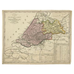
Antique map titled 'De Provincie Zuid-Holland'. Map of the province of Zuid-Holland, the Netherlands. This map originates from 'F. C. Brugsma's Atlas van het Koninkrijk der Nederlanden (..)'.
Artists and Engravers: Author: Frederik Carel Brugsma. Published by J.B. Wolters.
Condition: Good, general age-related toning. Original folding line, minor wear. Blank verso. Please study image carefully.
Date: 1864
Overall size: 30.5 x 25.5 cm.
Image size: 23.5 x 19.5 cm.
We sell original antique maps to collectors, historians, educators and interior decorators all over the world. Our collection includes a wide range of authentic antique maps from the 16th to the 20th centuries. Buying and collecting antique maps is a tradition that goes back hundreds of years. Antique maps have proved a richly rewarding investment over the past decade, thanks to a growing appreciation of their unique historical appeal. Today the decorative qualities of antique maps are widely recognized by interior designers who appreciate their beauty and design flexibility. Depending on the individual map, presentation, and context, a rare or antique map can be modern, traditional, abstract, figurative, serious or whimsical. We offer a wide range of authentic antique maps for any budget.
- Dimensions:Height: 10.04 in (25.5 cm)Width: 12.01 in (30.5 cm)Depth: 0 in (0.01 mm)
- Materials and Techniques:
- Period:
- Date of Manufacture:1864
- Condition:Condition: Good, general age-related toning. Original folding line, minor wear. Blank verso. Please study image carefully.
- Seller Location:Langweer, NL
- Reference Number:
About the Seller
5.0
Platinum Seller
These expertly vetted sellers are 1stDibs' most experienced sellers and are rated highest by our customers.
Established in 2009
1stDibs seller since 2017
1,916 sales on 1stDibs
Typical response time: <1 hour
- ShippingRetrieving quote...Ships From: Langweer, Netherlands
- Return PolicyA return for this item may be initiated within 14 days of delivery.
More From This SellerView All
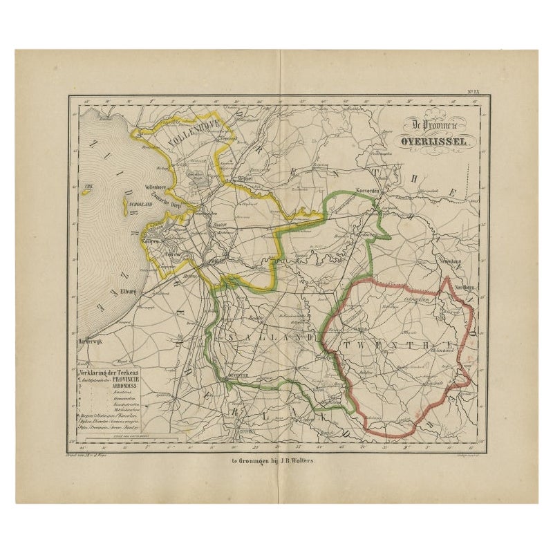
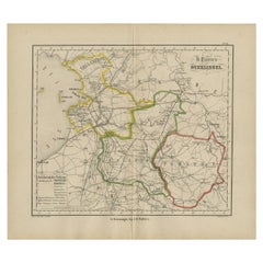
- Antique Map of Overijssel by Brugsma, 1864Located in Langweer, NLAntique map titled 'De Provincie Overijssel'. Map of the province of Overijssel, the Netherlands. This map originates from 'F. C. Brugsma's Atlas van het Koninkrijk der Nederlanden (...Category
Antique 19th Century Maps
MaterialsPaper
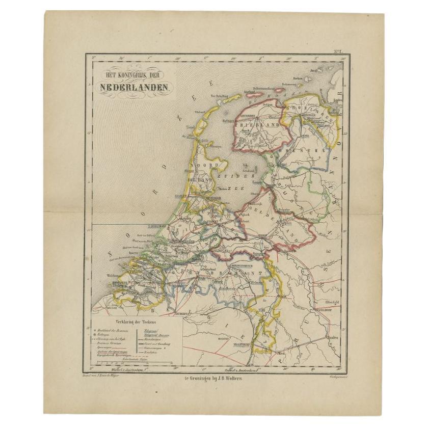
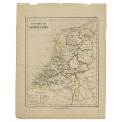
- Antique Map of the Netherlands by Brugsma, 1864Located in Langweer, NLAntique map titled 'Het Koningrijk der Nederlanden'. Map of the Netherlands. This map originates from 'F. C. Brugsma's Atlas van het Koninkrijk ...Category
Antique 19th Century Maps
MaterialsPaper
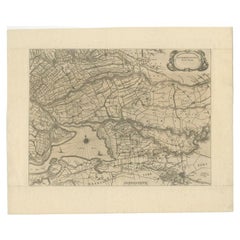
- Original Antique Map of Zuid-Holland in the Netherlands by Blaeu, C.1645Located in Langweer, NLAntique map titled 'Zuydhollandia stricte sumta'. Old map of the province of Zuid-Holland, the Netherlands. This map originates from 'Theatrum Orbis Terrarum (..)'. Artists and E...Category
Antique 17th Century Maps
MaterialsPaper
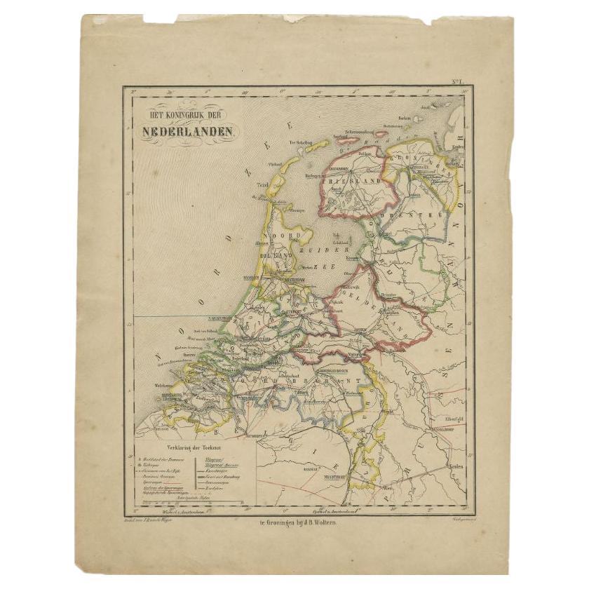
- Antique Map of the Netherlands by Brugsma, c.1870Located in Langweer, NLAntique map titled 'Het Koningrijk der Nederlanden'. Map of the Netherlands. This map originates from 'F. C. Brugsma's Atlas van het Koninkrijk der Nederlanden (..)'. Artists and...Category
Antique 19th Century Maps
MaterialsPaper
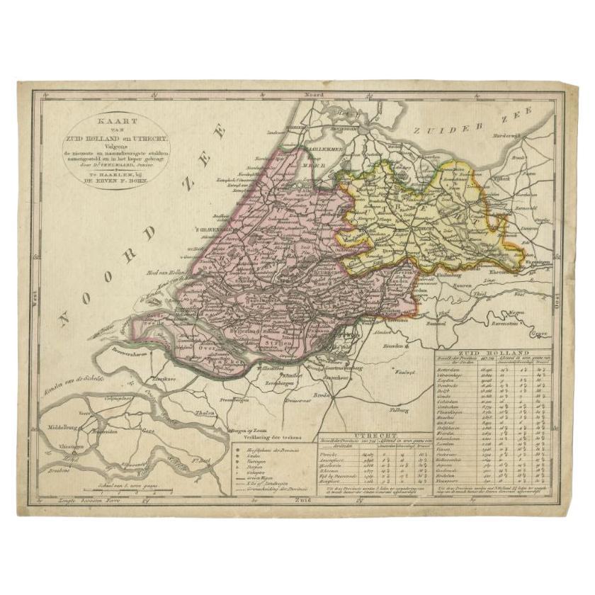
- Antique Map of the Province of Zuid-Holland and Utrecht by Veelwaard, c.1840Located in Langweer, NLAntique map titled 'Kaart van Zuid-Holland en Utrecht (..).' Uncommon map showing the province of Zuid-Holland and Utrecht in the Netherlands. Source unknown, to be determined. Ar...Category
Antique 19th Century Maps
MaterialsPaper
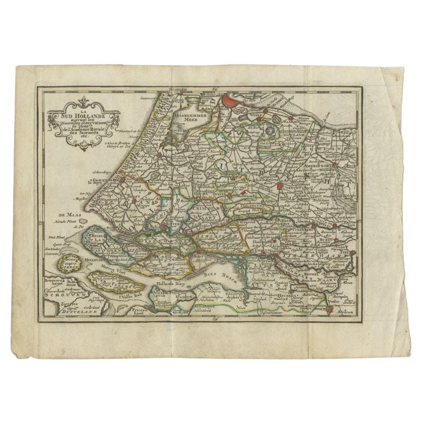
- Antique Map of the Province of Zuid-Holland by Keizer & De Lat, 1788Located in Langweer, NLAntique map titled 'La Sud Hollande (..)'. Uncommon antique map of the province of Zuid-Holland, the Netherlands. This map originates from 'Nieuwe Natuur- Geschied- en Handelkundige ...Category
Antique 18th Century Maps
MaterialsPaper


You May Also Like
- 1864 Map of North America, Antique Hand-Colored Map, by Adolphe Hippolyte DufourLocated in Colorado Springs, COOffered is a map of North America entitled Amerique du Nord from 1864. This rare, separately published wall map was produced by Adolphe Hippolyte Dufour. This map includes vibrant an...Category
Antique 1860s French Maps
MaterialsPaper
- Original Antique Map of Indonesia, 1861Located in St Annes, LancashireGreat map of Indonesia Drawn and engraved by Edward Weller Original color Published in The Weekly Dispatch Atlas, 1861 Repairs to minor e...Category
Antique 1860s English Victorian Maps
MaterialsPaper

- Original Antique Map of Missouri, 1889Located in St Annes, LancashireGreat map of Missouri Drawn and Engraved by W. & A.K. Johnston Published By A & C Black, Edinburgh. Original colour Unframed.Category
Antique 1880s Scottish Victorian Maps
MaterialsPaper

- Original Antique Map of Italy. C.1780Located in St Annes, LancashireGreat map of Italy Copper-plate engraving Published C.1780 Unframed.Category
Antique Early 1800s English Georgian Maps
MaterialsPaper

- Original Antique Map of Asia. C.1780Located in St Annes, LancashireGreat map of Asia Copper-plate engraving Published C.1780 Two small worm holes to right side of map Unframed.Category
Antique Early 1800s English Georgian Maps
MaterialsPaper

- Original Antique Map of India. C.1780Located in St Annes, LancashireGreat map of India Copper-plate engraving Published C.1780 Three small worm holes to right side of map and one bottom left corner Unframed.Category
Antique Early 1800s English Georgian Maps
MaterialsPaper


Recently Viewed
View AllMore Ways To Browse
Hemisphere L
World Map The World
Masque Theatre No
Radnor Furniture
Map Measure
Antique Maps Of British Isles
Taiwan Map
Antique Maps Of Ukraine
Ukraine Antique Map
Antique Map Nova Scotia
Gambia Antique Map
Antique Arizona Map
Antique Maps Of Kansas
Authentic Pirate
Antique Cuba Map
Babylon Map
Montenegro Antique Map
Antique Map Dordogne