Original Copper Engraving of a Map of Syria and Lebanon, 1698
View Similar Items

Want more images or videos?
Request additional images or videos from the seller
1 of 5
Original Copper Engraving of a Map of Syria and Lebanon, 1698
About the Item
- Dimensions:Height: 12.41 in (31.5 cm)Width: 14.45 in (36.7 cm)Depth: 0 in (0.02 mm)
- Materials and Techniques:
- Period:1690-1699
- Date of Manufacture:1698
- Condition:Condition: Good, given age. Paper with some browning. Irregular edges with some tiny tears; bottom edge reinforced. Some crinkles and creases. Original folds as issued. General age-related toning and/or occasional minor defects from handling.
- Seller Location:Langweer, NL
- Reference Number:Seller: PCT-614091stDibs: LU3054327552982
About the Seller
5.0
Recognized Seller
These prestigious sellers are industry leaders and represent the highest echelon for item quality and design.
Gold Seller
Premium sellers maintaining a 4.3+ rating and 24-hour response times
Established in 2009
1stDibs seller since 2017
2,452 sales on 1stDibs
Authenticity Guarantee
In the unlikely event there’s an issue with an item’s authenticity, contact us within 1 year for a full refund. DetailsMoney-Back Guarantee
If your item is not as described, is damaged in transit, or does not arrive, contact us within 7 days for a full refund. Details24-Hour Cancellation
You have a 24-hour grace period in which to reconsider your purchase, with no questions asked.Vetted Professional Sellers
Our world-class sellers must adhere to strict standards for service and quality, maintaining the integrity of our listings.Price-Match Guarantee
If you find that a seller listed the same item for a lower price elsewhere, we’ll match it.Trusted Global Delivery
Our best-in-class carrier network provides specialized shipping options worldwide, including custom delivery.More From This Seller
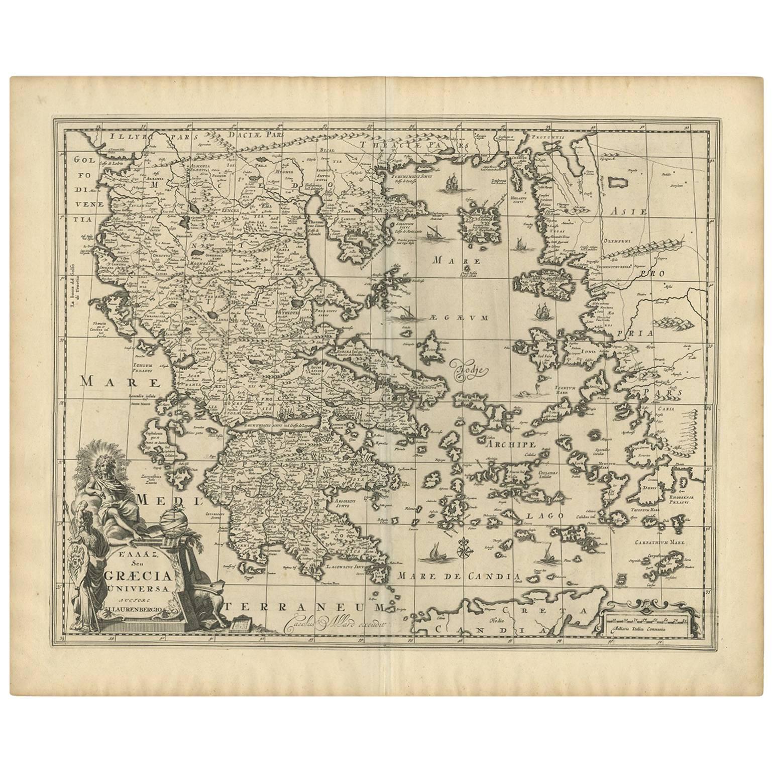
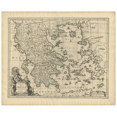
View AllAntique Map of Greece by Allard (c.1698)
Located in Langweer, NL
Antique map titled 'Hellas seu Graecia Universa' Detailed map of Greece, with Crete, the Aegean Islands, and part of Turkey. With two cartouches, compass rose and scale. Carolus Alla...
Category
Antique Late 17th Century Maps
Materials
Paper
$914 Sale Price
20% Off
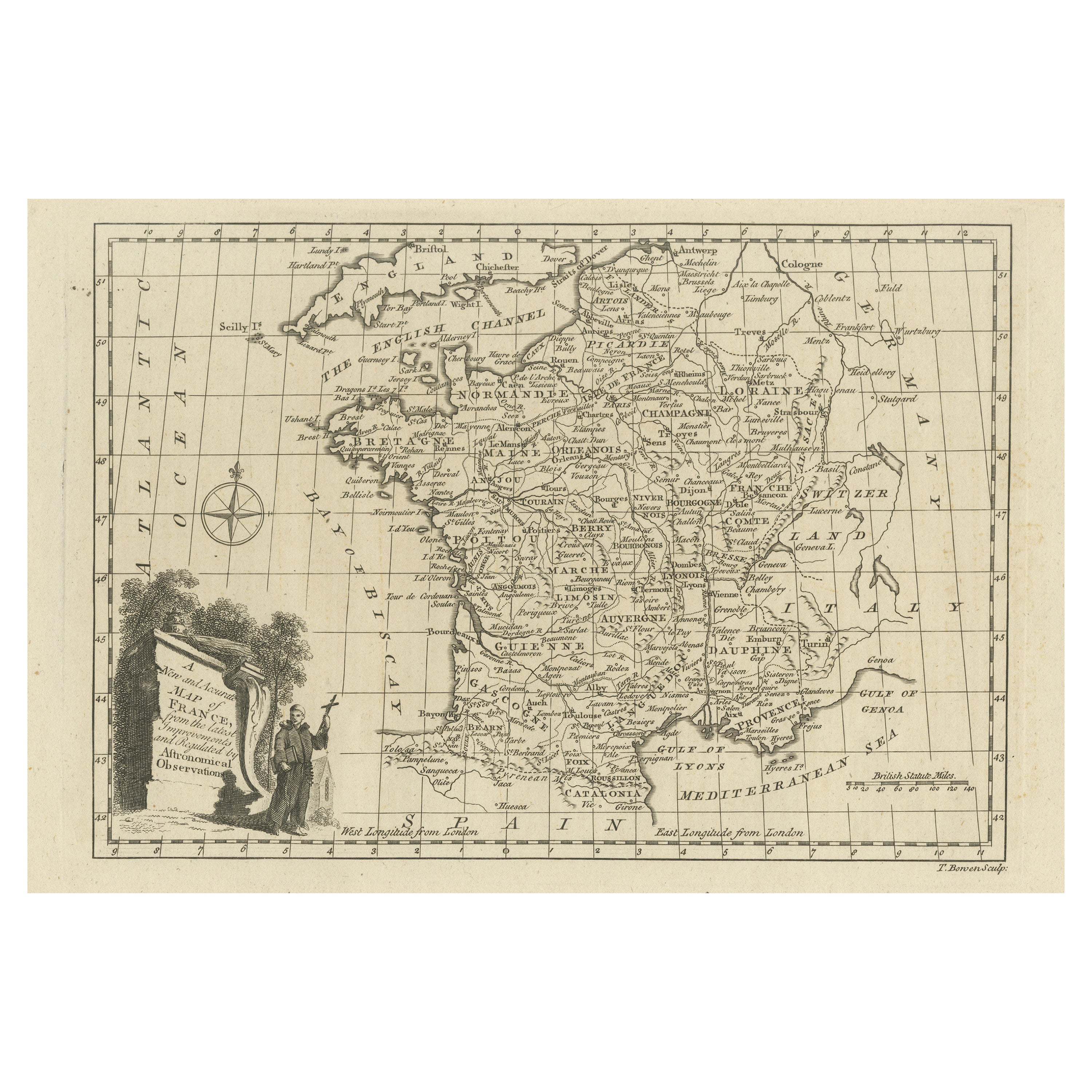
Original Copper Engraved Map of France
Located in Langweer, NL
Antique map titled 'New and Accurate Map of France from the latest improvements'. Original copper engraved map of France. Engraved by T. Bowen, published circa 1771.
Category
Antique Late 18th Century Maps
Materials
Paper

$316 Sale Price
20% Off
Original Antique Map of Syria Phoenice by Van Dùren '1749'
Located in Langweer, NL
Interesting Antique map published in Germany titled 'Neue Vorstellung von Phoenice und Syrien (..)' This map is engraved with a lot of details. It is an original antique map of Syria...
Category
Antique Mid-18th Century Maps
Materials
Paper

$280 Sale Price
20% Off
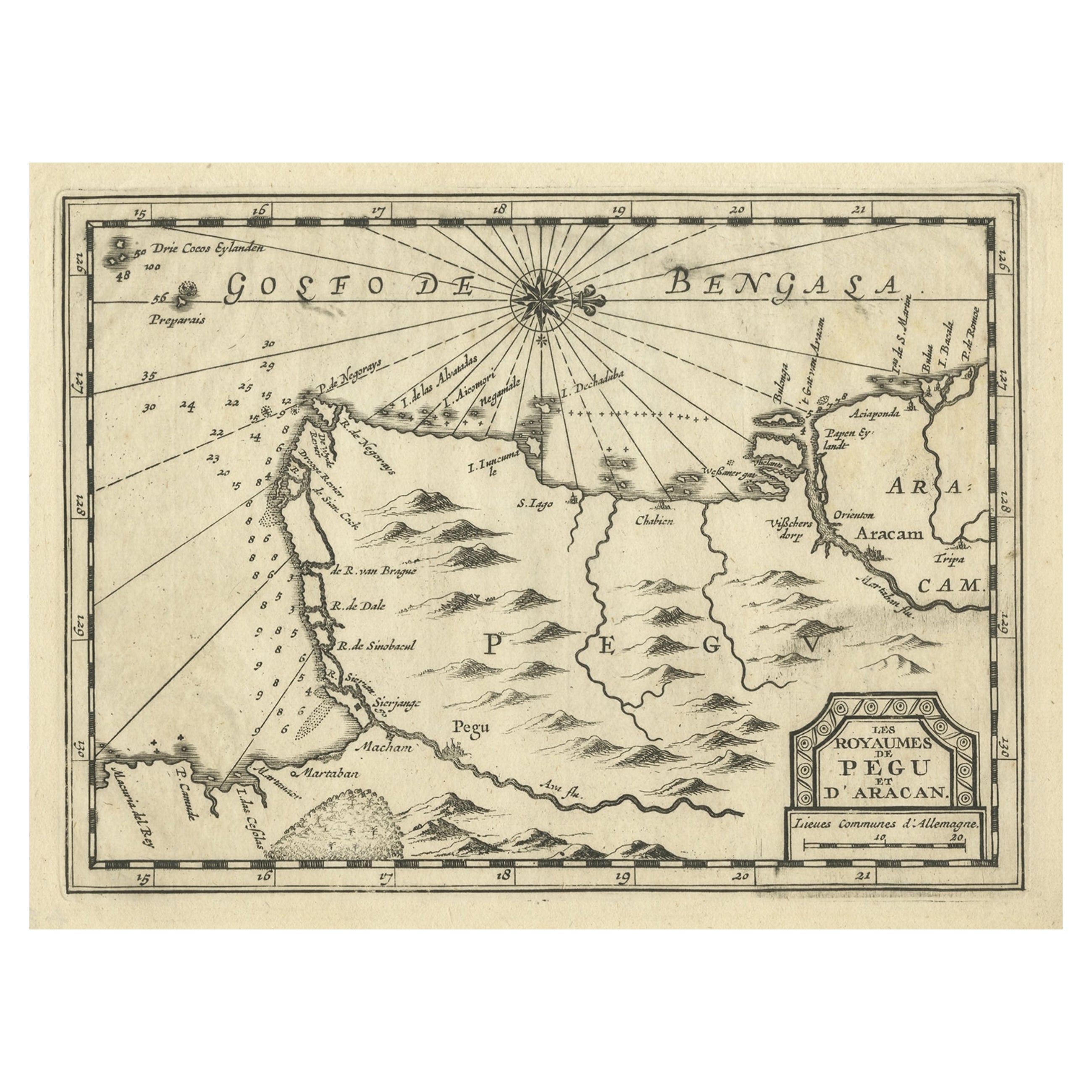
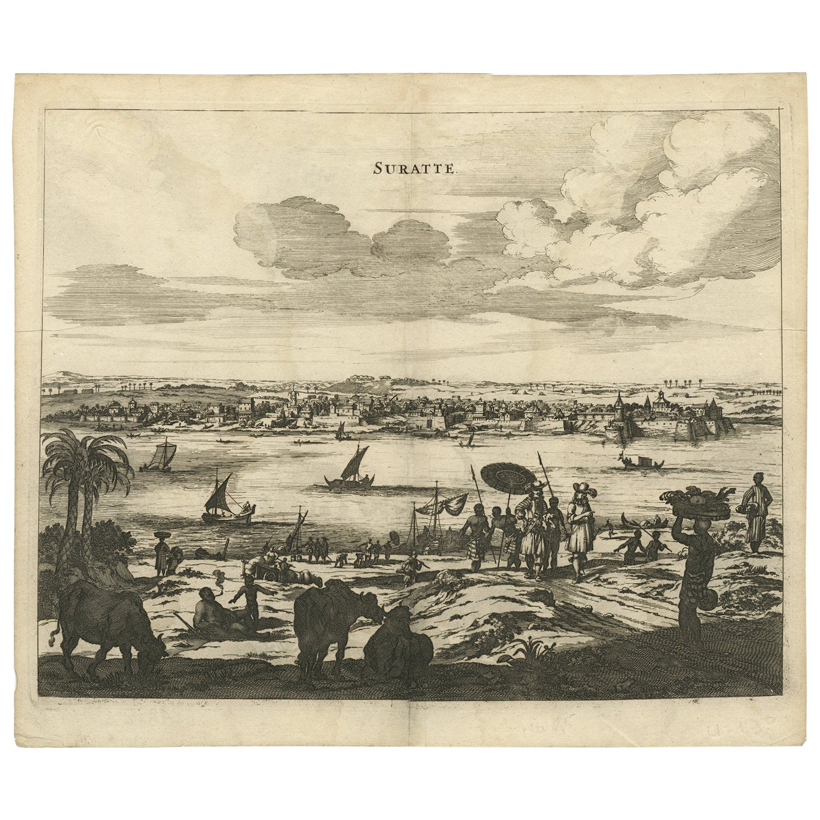
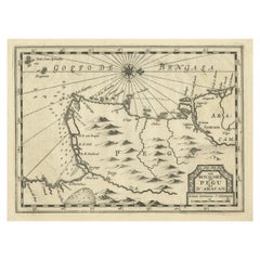
Rare Antique Copper Engraving of a Map of Pegu and Arakan, Burma (Myanmar), 1714
Located in Langweer, NL
Antique map Myanmar (Birma) titled 'Les Royaumes de Pegu et d'Aracan'.
Rare map of Pegu and Arakan made after a map engraved by Pieter van den Keere and published in the 1628 edi...
Category
Antique 1710s Maps
Materials
Paper
$504 Sale Price
20% Off
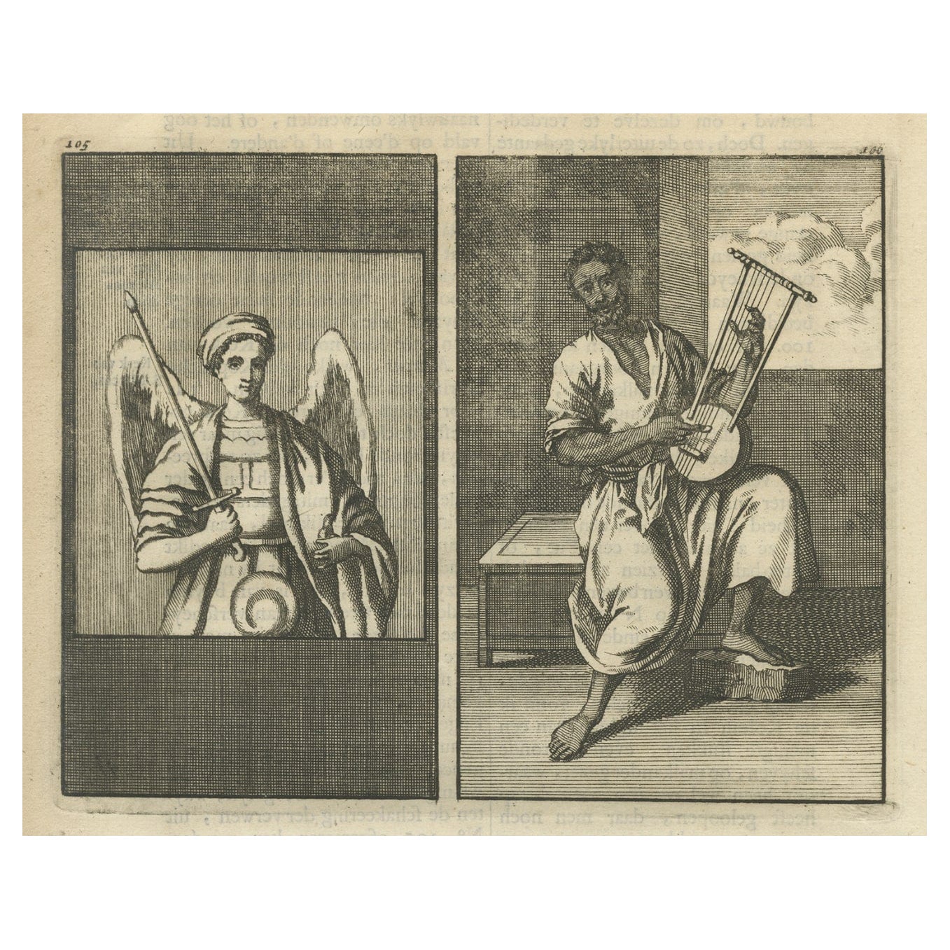
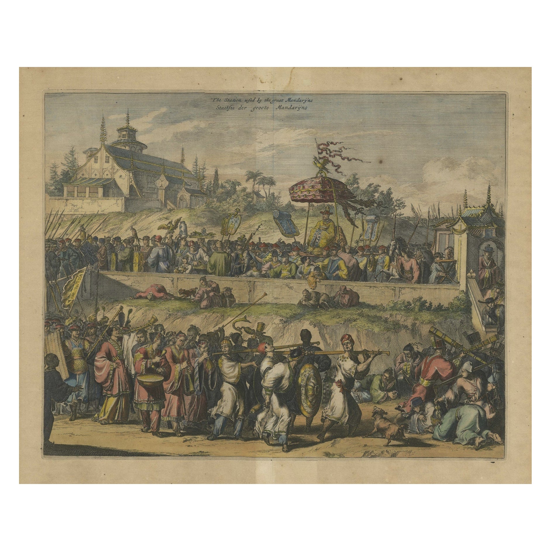
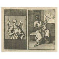
Antique Engraving of Archangel Michael and an Arab Moor Playing Instrument, 1698
Located in Langweer, NL
Untitled print of an Arab Moor man playing a stringed instrument 105: Mural in St. Marc's church: the left a painting of the Archangel Michael, said to be painted by S. Lucas.
Th...
Category
Antique 1690s Religious Items
Materials
Paper
$205 Sale Price
20% Off
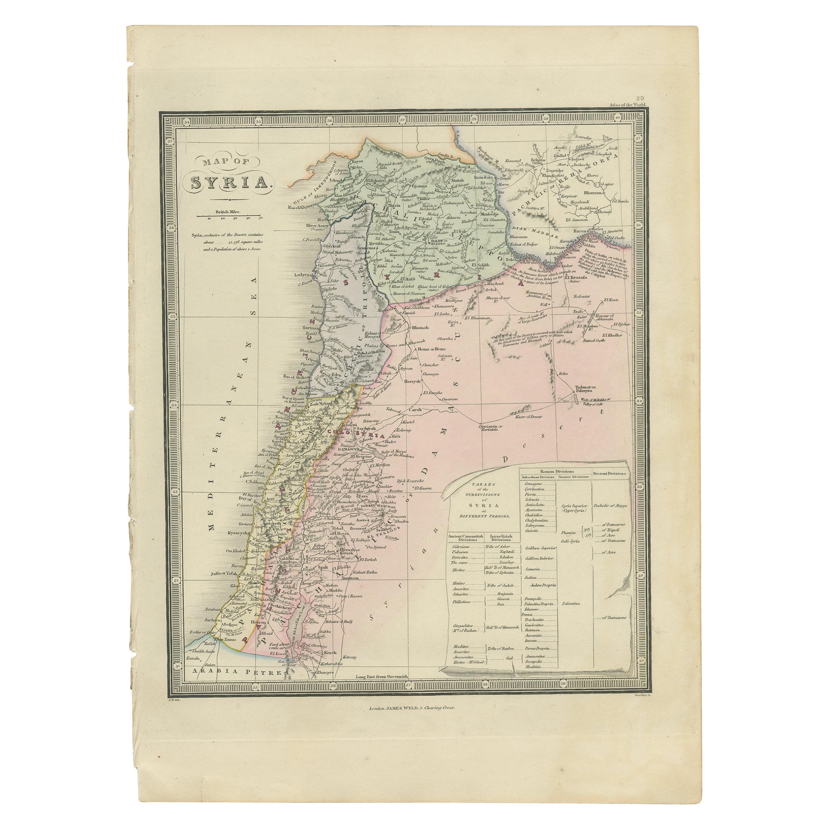
Antique Map of Syria by Wyld '1845'
Located in Langweer, NL
Antique map titled 'Map of Syria'. Original antique map of Syria. This map originates from 'An Atlas of the World, Comprehending Separate Maps of its
Var...
Category
Antique Mid-19th Century Maps
Materials
Paper

$233 Sale Price
20% Off
You May Also Like
Original Antique Map of Spain and Portugal, circa 1790
Located in St Annes, Lancashire
Super map of Spain and Portugal
Copper plate engraving by A. Bell
Published, circa 1790.
Unframed.
Category
Antique 1790s English Other Maps
Materials
Paper

Original Antique Map of Ireland- Tipperary and Waterford. C.1840
Located in St Annes, Lancashire
Great map of Tipperary and Waterford
Steel engraving
Drawn under the direction of A.Adlard
Published by How and Parsons, C.1840
Unframed.
Category
Antique 1840s English Maps
Materials
Paper

Original Antique Map of United States, Grattan and Gilbert, 1843
Located in St Annes, Lancashire
Great map of United States
Drawn and engraved by Archer
Published by Grattan and Gilbert. 1843
Original colour
Unframed.
Category
Antique 1840s English Maps
Materials
Paper

Original Antique Map of Ireland- Kerry. C.1840
Located in St Annes, Lancashire
Great map of Kerry
Steel engraving
Drawn under the direction of A.Adlard
Published by How and Parsons, C.1840
Unframed.
Category
Antique 1840s English Maps
Materials
Paper

Original Antique Map of South America. C.1780
Located in St Annes, Lancashire
Great map of South America
Copper-plate engraving
Published C.1780
Two small worm holes to left side of map
Unframed.
Category
Antique Early 1800s English Georgian Maps
Materials
Paper

Original Antique Map of China, Arrowsmith, 1820
Located in St Annes, Lancashire
Great map of China
Drawn under the direction of Arrowsmith
Copper-plate engraving
Published by Longman, Hurst, Rees, Orme and Brown, 1820
Unfr...
Category
Antique 1820s English Maps
Materials
Paper

Recently Viewed
View AllMore Ways To Browse
Antique Kangaroo
Antique Lebanese Furniture
Lebanese Antiques
Antique Furniture Lebanon
French Art Nouveau Armchair
Garden Dining Oval Table
Gear Table
Glass Top Side Tables Rattan
Glass Turtle
Gold Gilded Console Table
Gothic Library
Green Majolica Platter
Hand Knotted Rug Lion
Hans Wegner Chairs Red
Harrys Bar
Hat Hooks Brass
Hexagon Pedestal
High Back Velvet Lounge Chair