Items Similar to Scarce Antique Map of Lake Toba and Silindoeng on Sumatra, Indonesia, c.1875


Want more images or videos?
Request additional images or videos from the seller
1 of 5
Scarce Antique Map of Lake Toba and Silindoeng on Sumatra, Indonesia, c.1875
About the Item
Antique map titled 'Kaart van het Toba-Meer en het landschap Silindoeng.'
This scarce map shows Lake Toba and Silindoeng on the Indonesian island of Sumatra. Originates from 'Tijdschrift Aardrijkskundig Genootschap', published by C. F. Stemler in Amsterdam, ca. 1875. Artists and Engravers: Map by C.L. Brinkman, Amsterdam and J.L. Beijers, Utrecht.
Artist: Map by C.L. Brinkman, Amsterdam and J.L. Beijers, Utrecht.
Condition: Fair/good, general age-related toning. Shows some wear and staining. Please study image carefully.
Date: c.1875
Overall size: 50 x 80 cm.
Image size: 45 x 68 cm.
- Dimensions:Height: 19.69 in (50 cm)Width: 31.5 in (80 cm)Depth: 0 in (0.01 mm)
- Materials and Techniques:
- Period:
- Date of Manufacture:circa 1875
- Condition:Condition: Fair/good, general age-related toning. Shows some wear and staining. Please study image carefully.
- Seller Location:Langweer, NL
- Reference Number:
About the Seller
5.0
Platinum Seller
These expertly vetted sellers are 1stDibs' most experienced sellers and are rated highest by our customers.
Established in 2009
1stDibs seller since 2017
1,947 sales on 1stDibs
Typical response time: <1 hour
- ShippingRetrieving quote...Ships From: Langweer, Netherlands
- Return PolicyA return for this item may be initiated within 14 days of delivery.
More From This SellerView All
- Antique Map of Sumatra, Indonesia 'c.1780'Located in Langweer, NLAntique map titled 'Neue Karte von der Insel Sumatra'. Extremely rare map of Sumatra, Indonesia. Published circa 1780.Category
Antique Late 18th Century Maps
MaterialsPaper
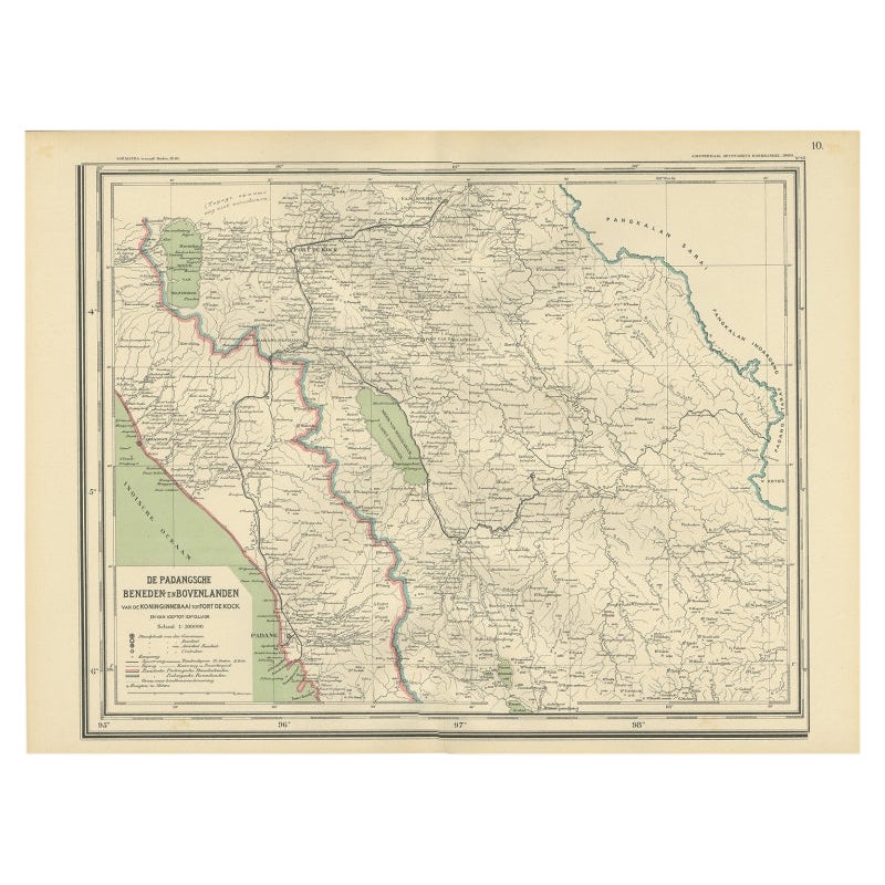
- Antique Map of Padang, Sumatra, Indonesia, 1900Located in Langweer, NLAntique map titled 'De Padangsche Beneden-en Bovenlanden van de Koninginnedbaai tot Fort de Kock'. Old map of Padang, Sumatra. This map originates from 'Atlas van Nederlandsch Oost- ...Category
20th Century Maps
MaterialsPaper
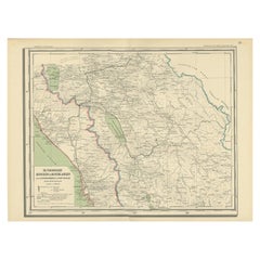
- Antique Map of West Sumatra, Indonesia, 1900Located in Langweer, NLAntique map titled 'Sumatra, Bangka, Blitoeng en de Riouw-Archipel'. Old map of West Sumatra depicting the various islands and the Strait of Malacca. This map originates from 'Atlas ...Category
20th Century Maps
MaterialsPaper
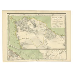
- Antique Map of Aceh in Sumatra, Indonesia, 1900Located in Langweer, NLAntique map titled 'Groot-Atjeh en aangrenzende Kuststaten'. Old map of Aceh, with surrounding coastal regions. This map originates from 'Atlas van Nederlandsch Oost- en West-Indië' ...Category
20th Century Maps
MaterialsPaper
- Scarce Antique Map of the Island of Java, IndonesiaLocated in Langweer, NLTitle: "Kaart van 't Eyland Groot Java: Antique Map of Java, Indonesia" Description: This antique map, titled "Kaart van 't Eyland Groot Java," offers a rare and valuable depiction ...Category
Antique Late 18th Century Maps
MaterialsPaper
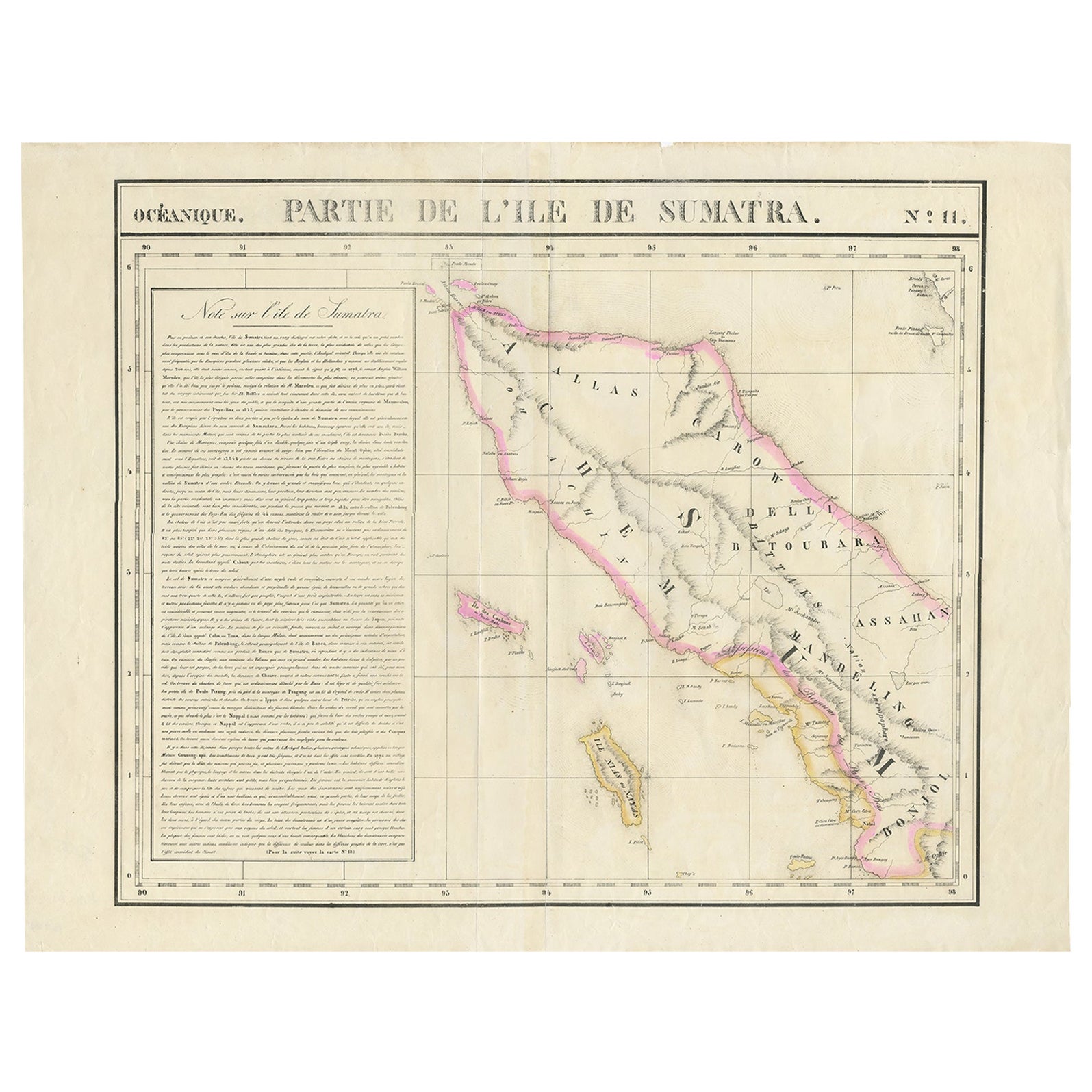
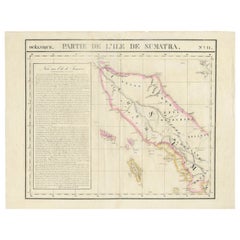
- Detailed Antique Map of Northern Sumatra, Indonesia, circa 1825Located in Langweer, NLAntique map titled 'Partie de l'Ile de Sumatra'. Chart showing the northern part of Sumatra. Originates from 'Atlas Universel' by P.M. Vandermaelen. Artists and Engravers: Philip...Category
Antique 19th Century Maps
MaterialsPaper


You May Also Like
- Antique Map of Principality of MonacoBy Antonio Vallardi EditoreLocated in Alessandria, PiemonteST/619 - "Old Geographical Atlas of Italy - Topographic map of ex-Principality of Monaco" - ediz Vallardi - Milano - A somewhat special edition ---Category
Antique Late 19th Century Italian Other Prints
MaterialsPaper
- Original Antique Map of Ireland- Tipperary and Waterford. C.1840Located in St Annes, LancashireGreat map of Tipperary and Waterford Steel engraving Drawn under the direction of A.Adlard Published by How and Parsons, C.1840 Unframed.Category
Antique 1840s English Maps
MaterialsPaper
- Original Antique Map of Italy. C.1780Located in St Annes, LancashireGreat map of Italy Copper-plate engraving Published C.1780 Unframed.Category
Antique Early 1800s English Georgian Maps
MaterialsPaper

- Original Antique Map of Asia. C.1780Located in St Annes, LancashireGreat map of Asia Copper-plate engraving Published C.1780 Two small worm holes to right side of map Unframed.Category
Antique Early 1800s English Georgian Maps
MaterialsPaper

- Original Antique Map of India. C.1780Located in St Annes, LancashireGreat map of India Copper-plate engraving Published C.1780 Three small worm holes to right side of map and one bottom left corner Unframed.Category
Antique Early 1800s English Georgian Maps
MaterialsPaper

- Original Antique Map of Sweden and Norway, Grattan and Gilbert, 1843Located in St Annes, LancashireGreat map of Sweden and Norway Drawn and engraved by Archer Published by Grattan and Gilbert Original color Unframed.Category
Antique 1840s English Other Maps
MaterialsPaper


Recently Viewed
View AllMore Ways To Browse
Engraved 68
Indonesia Map
Antique Map Indonesia
Antique Maps Indonesia
Amsterdam Map
Map Of Amsterdam
18th Russian Furniture
Antique Old Map Of The World
Furniture Russian 18th Century
Space Map
Antique Maps Of States
Antique South Africa
Antique Map Of Paris
Antique Maps Of Paris
Set Of Maps
Hand Compass
Dutch 16th Century Furniture
Antique World Globes