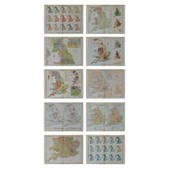
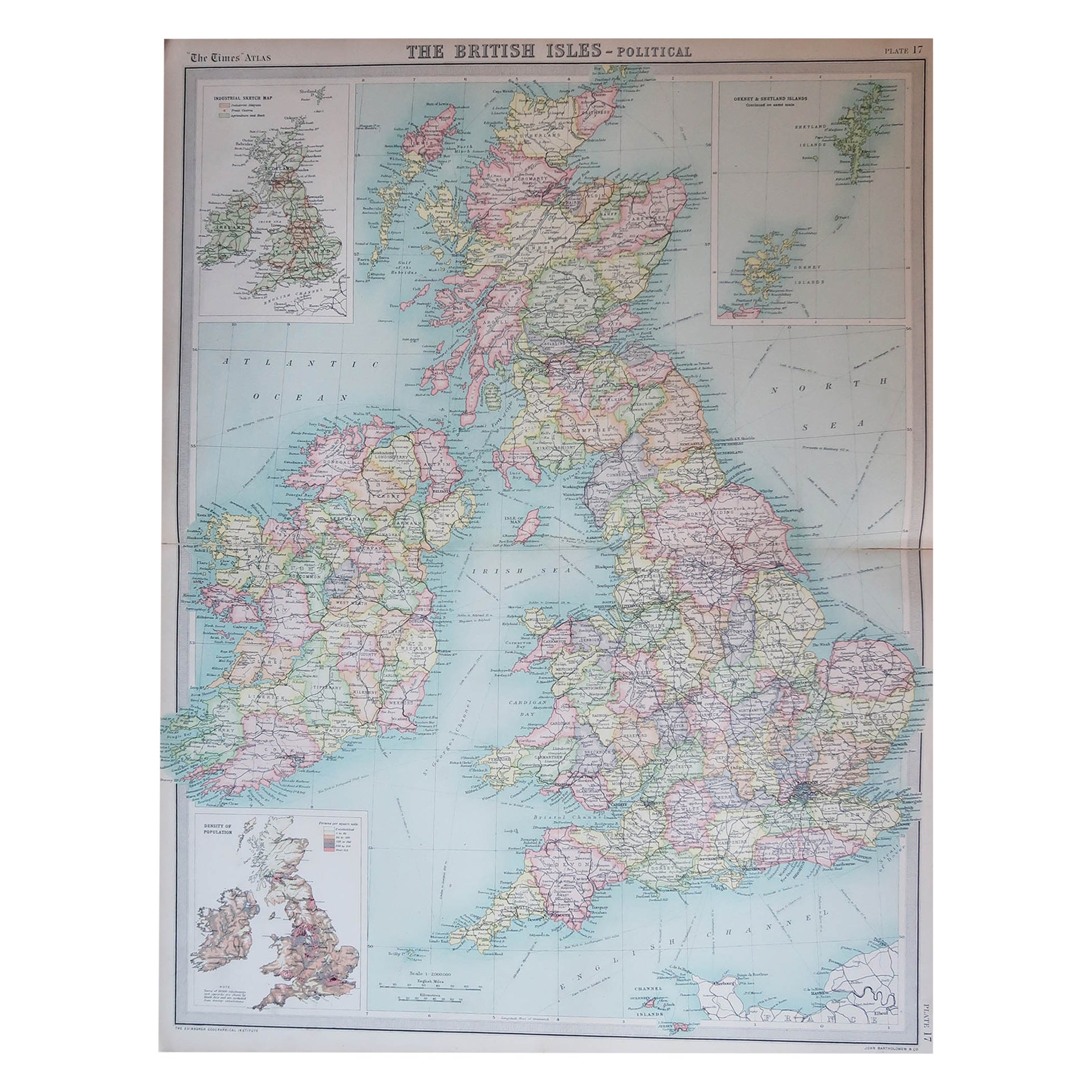
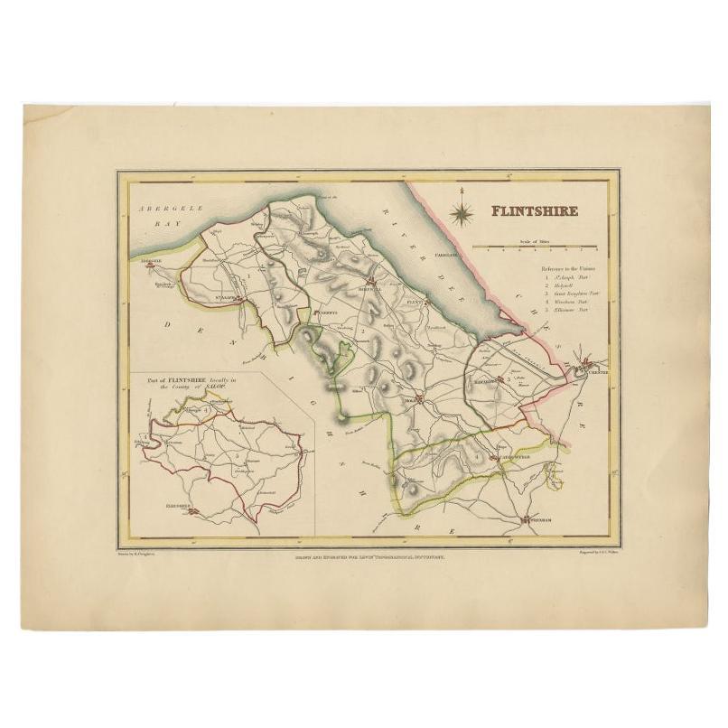
Set of 10 Large Scale Vintage Maps of The United Kingdom, circa 1900
View Similar Items


Want more images or videos?
Request additional images or videos from the seller
1 of 12
Set of 10 Large Scale Vintage Maps of The United Kingdom, circa 1900
About the Item
- Dimensions:Height: 18 in (45.72 cm)Width: 23.5 in (59.69 cm)Depth: 0.13 in (3.31 mm)
- Sold As:Set of 10
- Materials and Techniques:Paper,Other
- Place of Origin:
- Period:1900-1909
- Date of Manufacture:1903
- Condition:Wear consistent with age and use.
- Seller Location:St Annes, GB
- Reference Number:1stDibs: LU1836324414662
About the Seller
4.9
Platinum Seller
Premium sellers with a 4.7+ rating and 24-hour response times
1stDibs seller since 2016
3,075 sales on 1stDibs
Associations
International Confederation of Art and Antique Dealers' Associations
Authenticity Guarantee
In the unlikely event there’s an issue with an item’s authenticity, contact us within 1 year for a full refund. DetailsMoney-Back Guarantee
If your item is not as described, is damaged in transit, or does not arrive, contact us within 7 days for a full refund. Details24-Hour Cancellation
You have a 24-hour grace period in which to reconsider your purchase, with no questions asked.Vetted Professional Sellers
Our world-class sellers must adhere to strict standards for service and quality, maintaining the integrity of our listings.Price-Match Guarantee
If you find that a seller listed the same item for a lower price elsewhere, we’ll match it.Trusted Global Delivery
Our best-in-class carrier network provides specialized shipping options worldwide, including custom delivery.More From This Seller
View AllLarge Original Vintage Map of the United Kingdom, circa 1920
Located in St Annes, Lancashire
Great map of The United Kingdom
Unframed
Original color
By John Bartholomew and Co. Edinburgh Geographical Institute
Published, circa 1920
Free shipping.
Category
Vintage 1920s British Maps
Materials
Paper

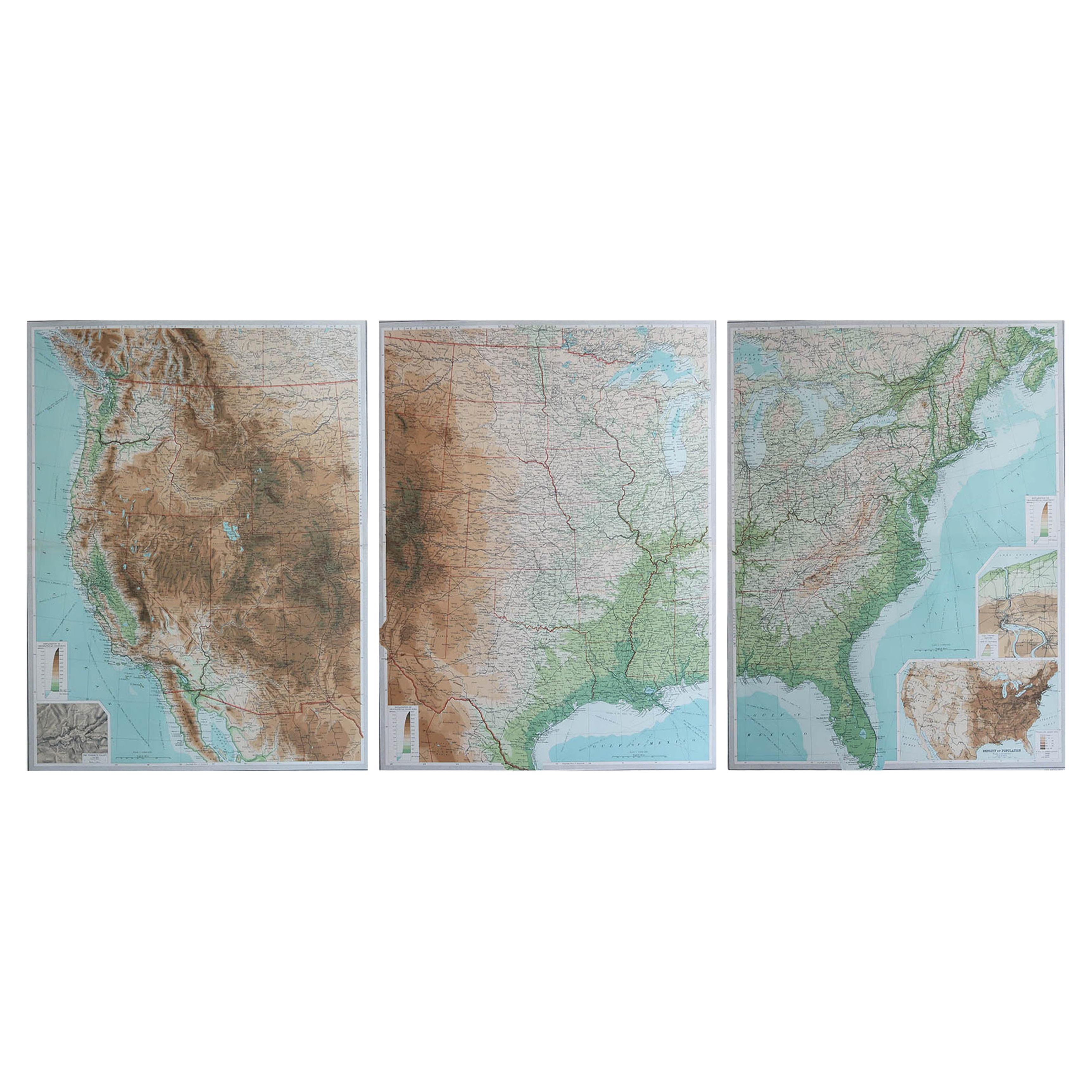
Large Vintage Maps of the United States, in 3 Sections, 1920
Located in St Annes, Lancashire
Great maps of the USA in 3 sections
Unframed
Original color
By John Bartholomew and Co. Edinburgh Geographical Institute
Published, circa 1920
The measurements given is for just...
Category
Vintage 1920s British Maps
Materials
Paper

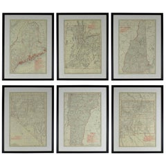
Set of 6 Original Vintage Maps of American States, circa 1900
Located in St Annes, Lancashire
Wonderful set of 6 vintage maps.
Random American states including Maine, Utah, New Hampshire, Nevada, Vermont and New Mexico.
Monochrome with red color outline.
Published by Rand,...
Category
Antique Early 1900s American Edwardian Decorative Art
Materials
Paper
$720 Sale Price / set
70% Off
Large Original Antique Map of the United States of America. 1891
By Rand McNally & Co.
Located in St Annes, Lancashire
Fabulous map of The United States
Original color
By Rand, McNally & Co.
Dated 1891
Unframed
Free shipping.
Category
Antique 1890s American Maps
Materials
Paper

Large Original Vintage Map of The World, circa 1920
Located in St Annes, Lancashire
Great map of The World
Original color.
Good condition / minor foxing
Published by Alexander Gross
Unframed.
Category
Vintage 1920s English Maps
Materials
Paper

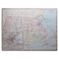
Large Original Antique Map of Massachusetts, USA, circa 1900
Located in St Annes, Lancashire
Fabulous map of Massachusetts
In 2 sheets. They can be joined but I have not done it
Original color
Engraved and printed by the George F. Cram ...
Category
Antique 1890s American Maps
Materials
Paper
You May Also Like
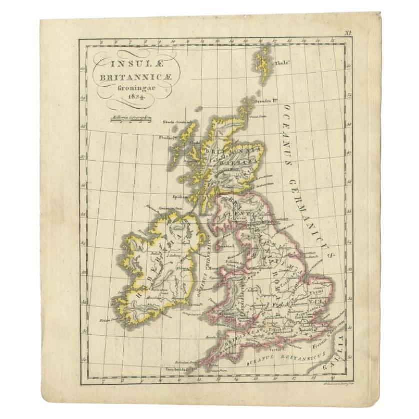
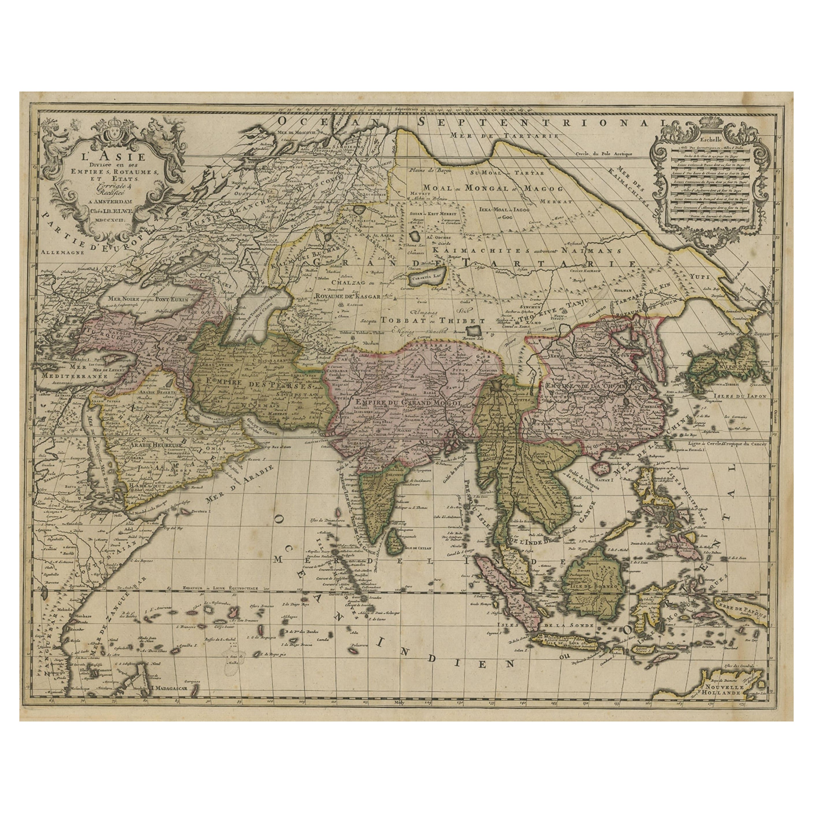
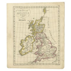
Antique Map of the United Kingdom and Ireland, circa 1825
Located in Langweer, NL
Antique map titled 'Insula Britannicae'. Old map of the United Kingdom and Ireland originating from 'Atlas der Oude Wereld'.
Artists and Engravers: Published by C. Ph. Funke and W. v...
Category
Antique 19th Century Maps
Materials
Paper
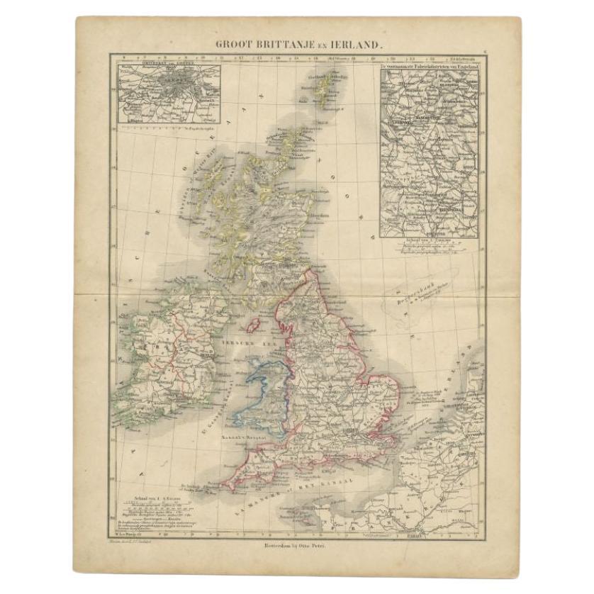
Antique Map of the United Kingdom and Ireland, 1852
Located in Langweer, NL
Antique map titled 'Groot-Brittanje en Ierland'. Map of the United Kingdom and Ireland. This map originates from 'School-Atlas van alle deelen der Aarde' by Otto Petri.
Artists a...
Category
Antique 19th Century Maps
Materials
Paper

Antique Map of the United Kingdom and Ireland, c.1873
Located in Langweer, NL
Antique map titled 'Groot Brittanje en Ierland'. Old map depicting the United Kingdom and Ireland, with inset maps of London and factory districts of the UK. This map originates from...
Category
Antique 19th Century Maps
Materials
Paper

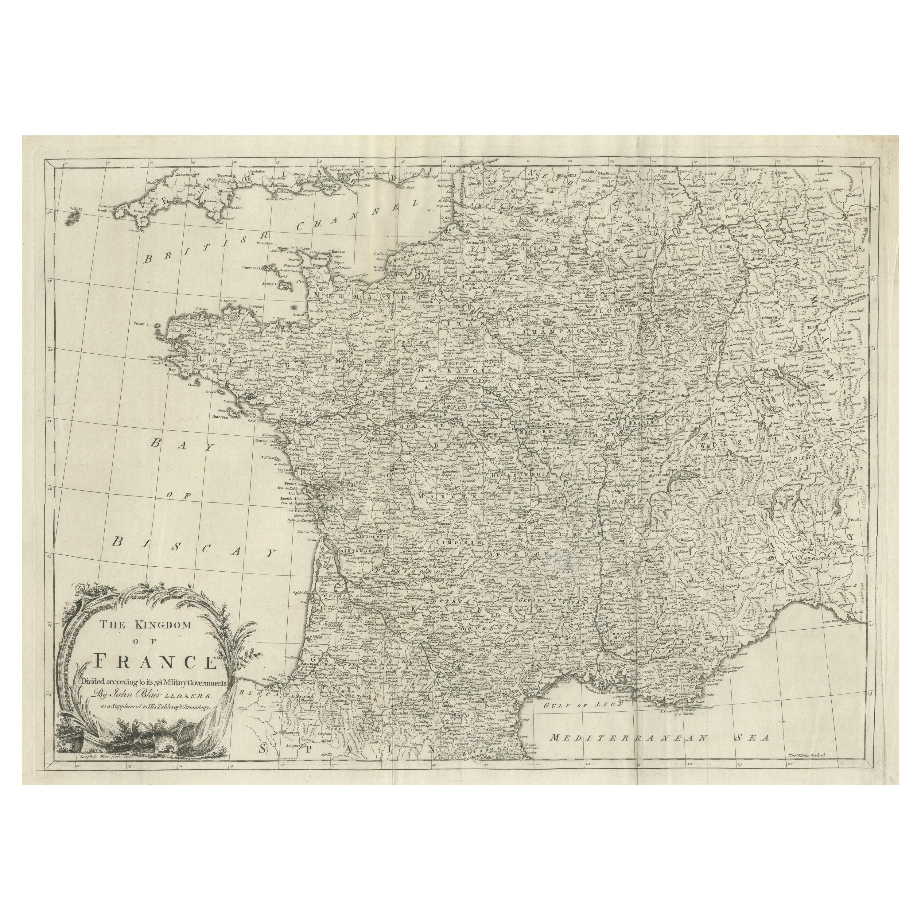
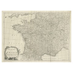
Large Antique Map of the Kingdom of France
Located in Langweer, NL
Antique map titled 'The Kingdom of France (..)'. Large antique map of the Kingdom of France. Engraved by T. Kitchin. Published J. Blair, circa 1779.
Category
Antique Late 18th Century Maps
Materials
Paper
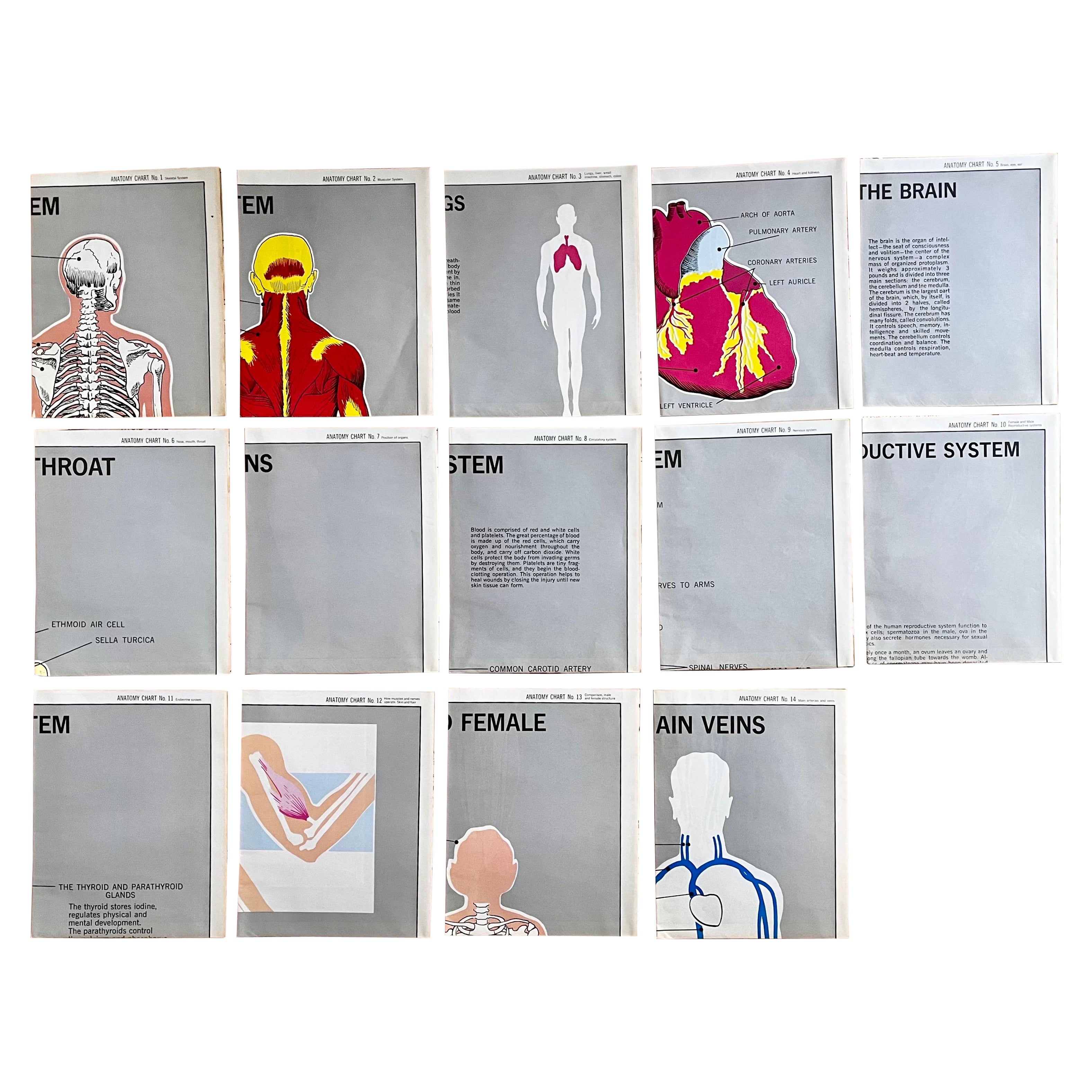
Set of (14) Vintage Anatomy Charts by American Map Co. - sold individually
Located in Philadelphia, PA
Set of (14) Vintage Anatomy Charts
American Map Co. - Circa 1950.
14 Total Charts - Sold Individually -( 14 available )
( discounted to buy as a set )
29" x 37" unfolded
9.5" x 12...
Category
Mid-20th Century American Mid-Century Modern Posters
Materials
Paper

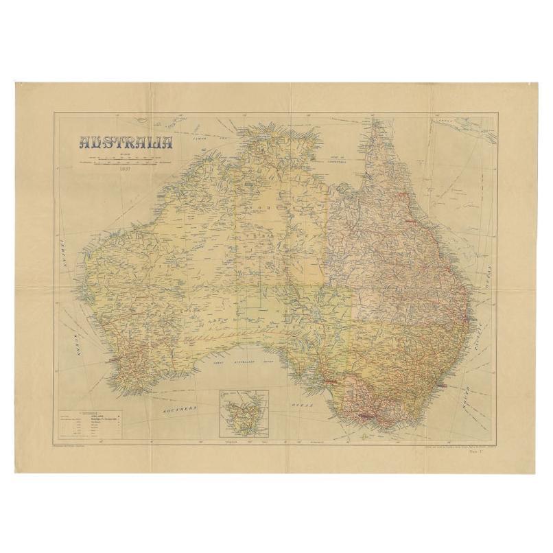
Large Detailed Map of Australia Wint Inset of Tasmania, 1937
Located in Langweer, NL
Antique map titled 'Australia'. Large folding map of Australia. With inset map of Tasmania. Printed by L.F. Johnston, Canberra.
Artists and Engravers: Compiled and drawn by Propert...
Category
20th Century Maps
Materials
Paper

$322 Sale Price
20% Off
Recently Viewed
View AllMore Ways To Browse
Map Ukraine
Scan Globe
Serbia Antique Map
Shetland Map
Cham Antiques
Civil War Virginia Map
Map Of Cumberland
Map Of Virginia Civil War
Antique Furniture Trinidad
Antique Kiel Furniture
Antique Map Of Brooklyn
Antique Maps Of Maryland
Cham Kingdom
Gloucestershire Antique Map
Map Gloucestershire
Map Of Ibiza
Map Of Native American Tribes
Mongolia Maps