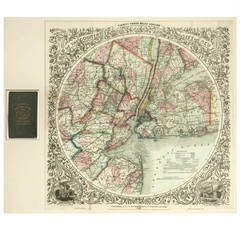
Map of the Country, 33 Miles Around the City of New York
View Similar Items

1 of 1
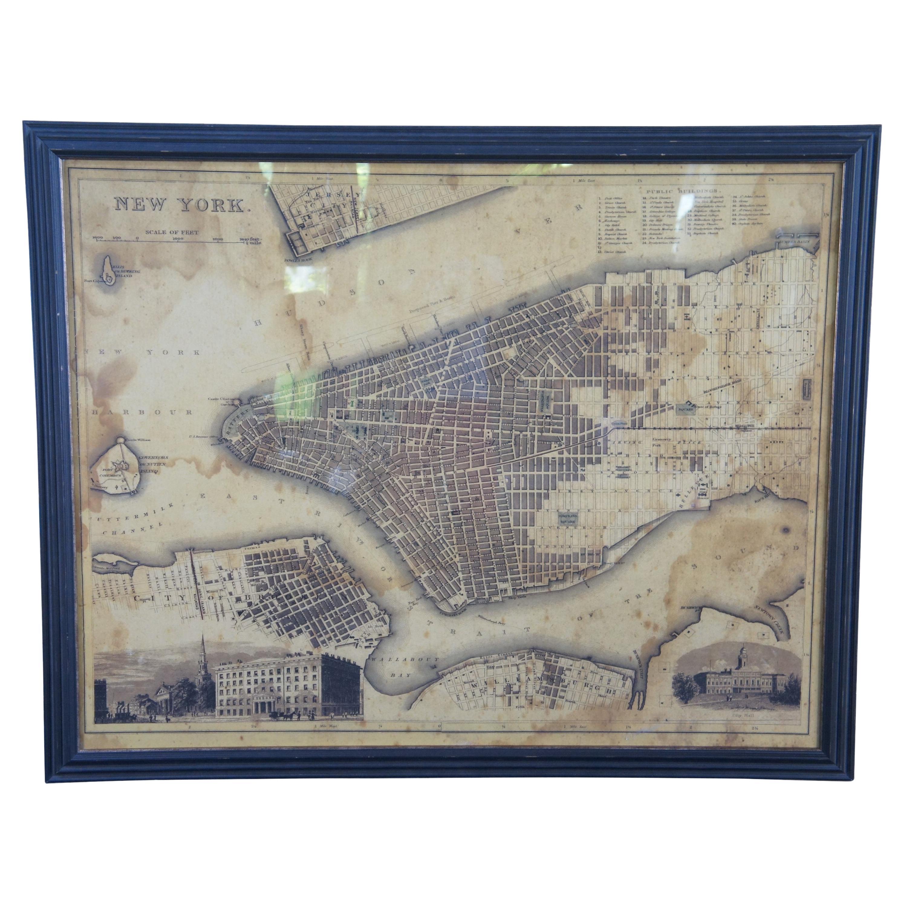
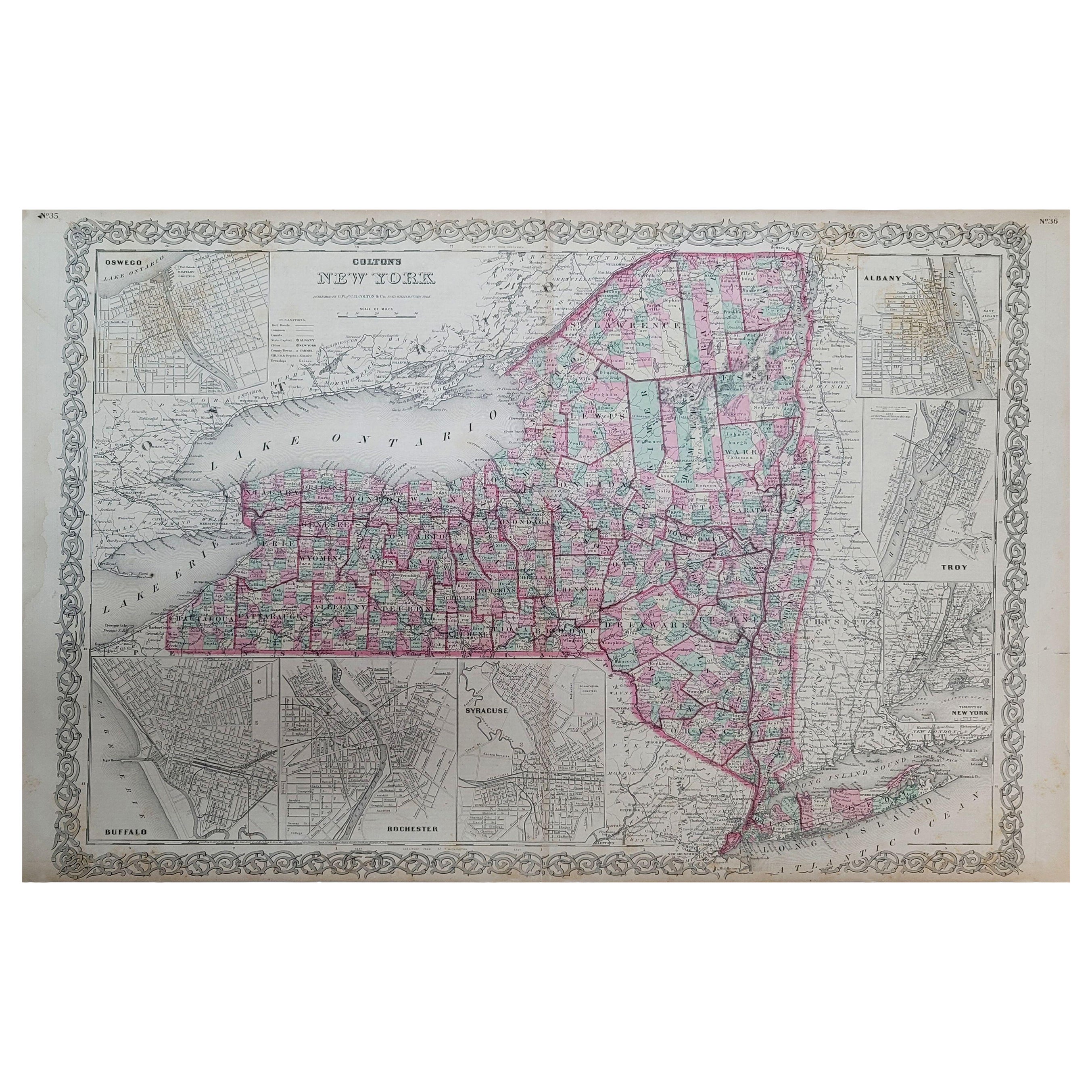
Map of the Country, 33 Miles Around the City of New York
About the Item
- Creator:G.W. & C.B. Colton (Author)
- Dimensions:Height: 29.5 in (74.93 cm)Width: 32 in (81.28 cm)Depth: 1 in (2.54 cm)
- Style:Other (Of the Period)
- Place of Origin:
- Period:
- Date of Manufacture:1866
- Condition:
- Seller Location:Houston, TX
- Reference Number:1stDibs: LU129322330332
You May Also Like
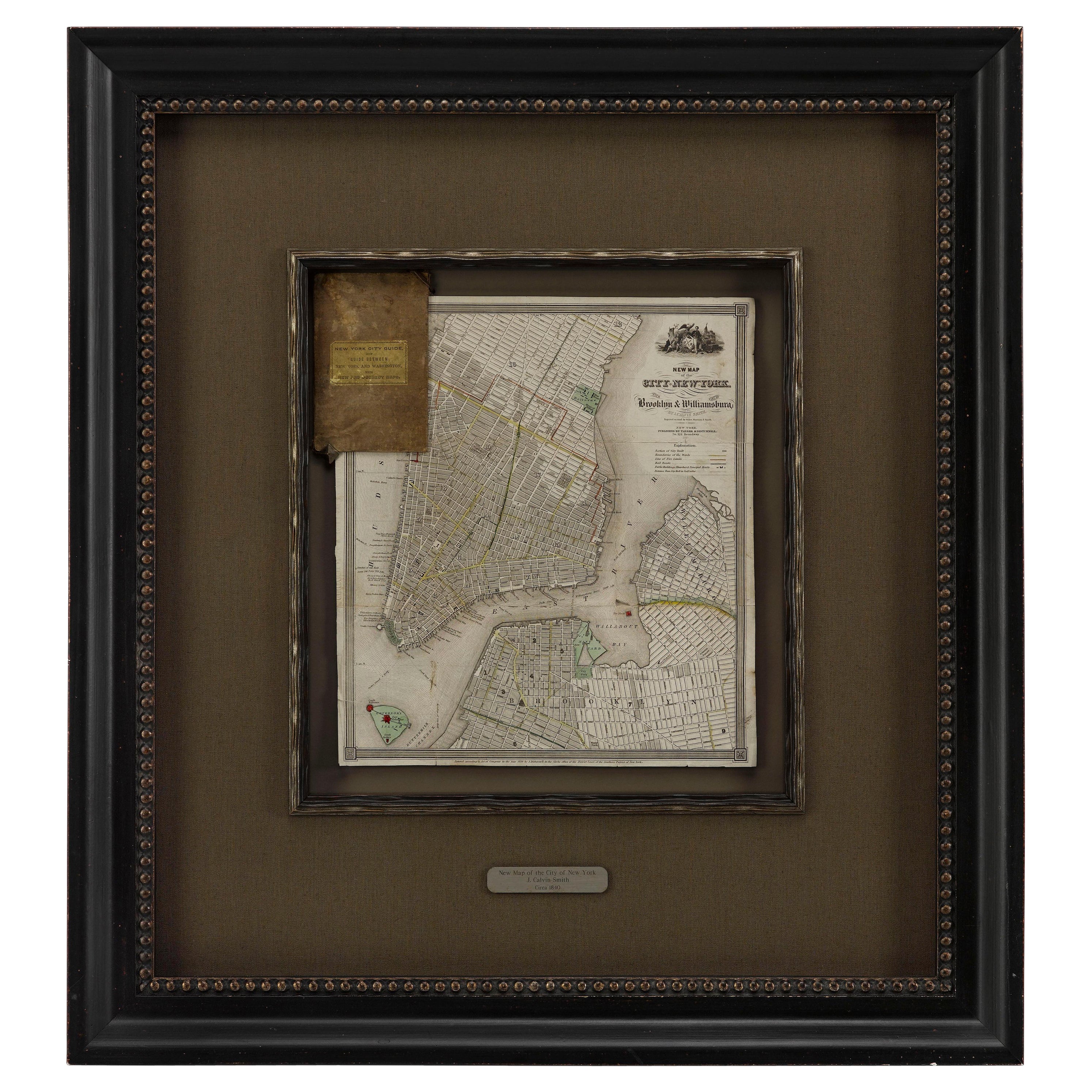
- 1840 "New Map of the City of New York With Part of Brooklyn & Williamsburg"Located in Colorado Springs, COPresented is a hand-colored, engraved folding map titled "New Map of the City of New York With Part of Brooklyn & Williamsburg" by J. Calvin Smith. The map was issued bound in the bo...Category
Antique 1840s American Maps
MaterialsPaper
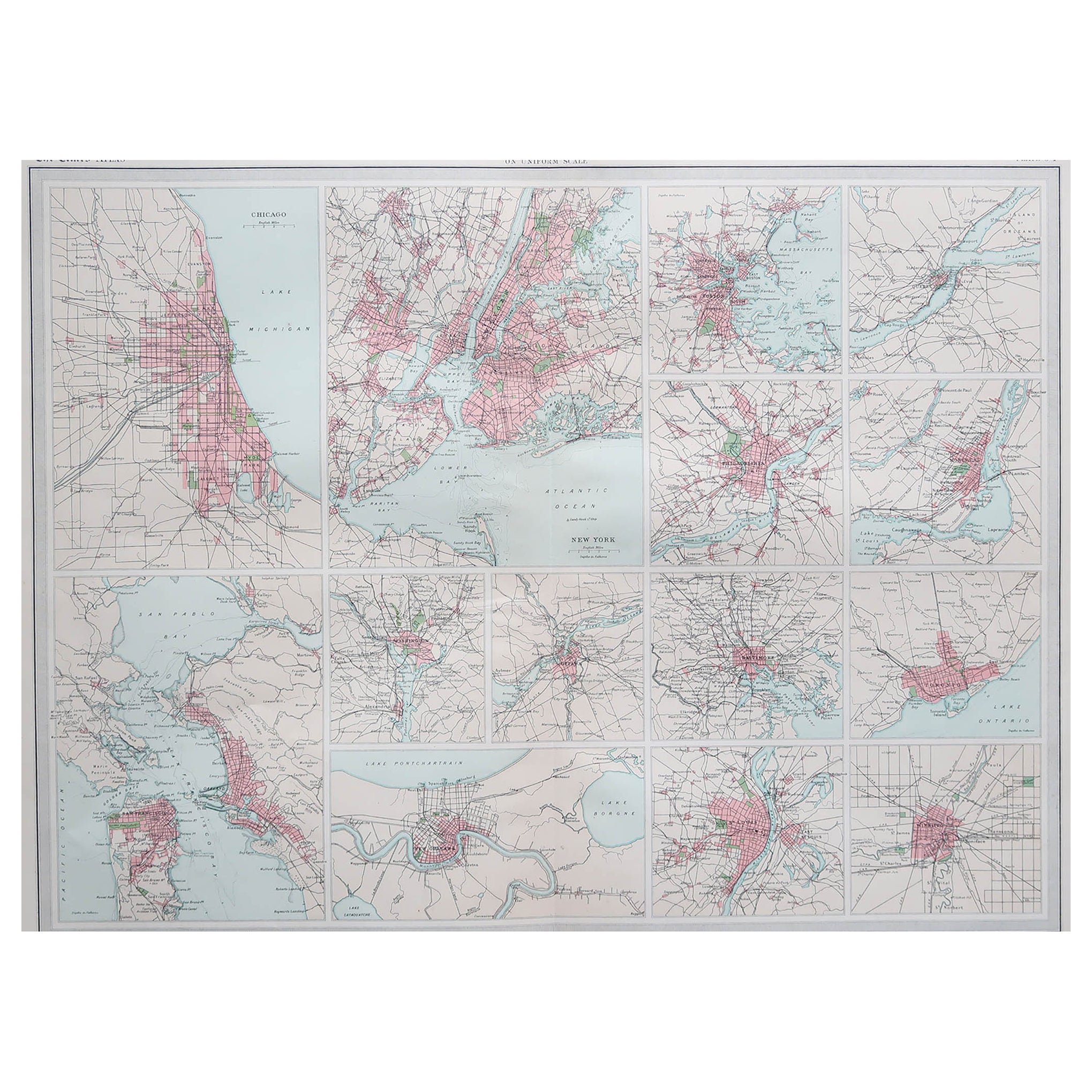
- Antique Map of American Cities, Vignette of New York City, circa 1920Located in St Annes, LancashireGreat maps of American Cities Unframed Original color By John Bartholomew and Co. Edinburgh Geographical Institute Published, circa 1920Category
Vintage 1920s British Maps
MaterialsPaper
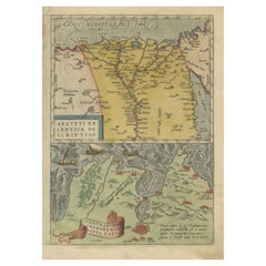
- Antique Map of the Region Around the Nile and the City of CarthageLocated in Langweer, NLAntique map titled 'Aegypti recentior descriptio - Carthaginis Celeberrimi sinus typus'. Two detailed regional maps by Ortelius. One map shows the region around the Nile, as far as A...Category
Antique 16th Century Maps
MaterialsPaper
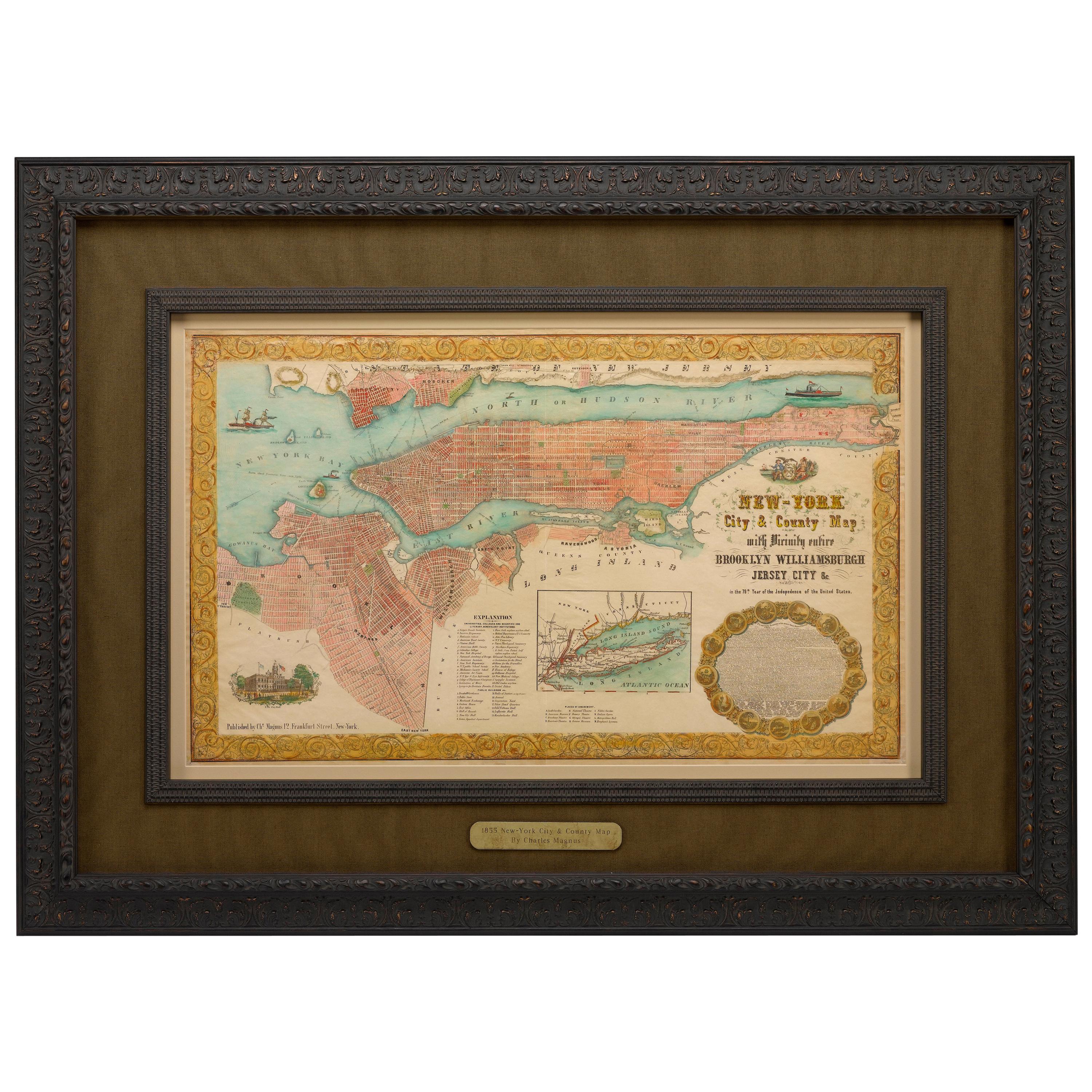
- 1855 "New-York City & County Map" by Charles MagnusBy Charles MagnusLocated in Colorado Springs, COThis is a beautiful hand-colored map titled “New York City & County Map with Vicinity entire Brooklyn, Williamsburgh, Jersey City &c.” The work was published in 1855 by Charles Magnu...Category
Antique 1850s American Maps
MaterialsPaper
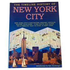
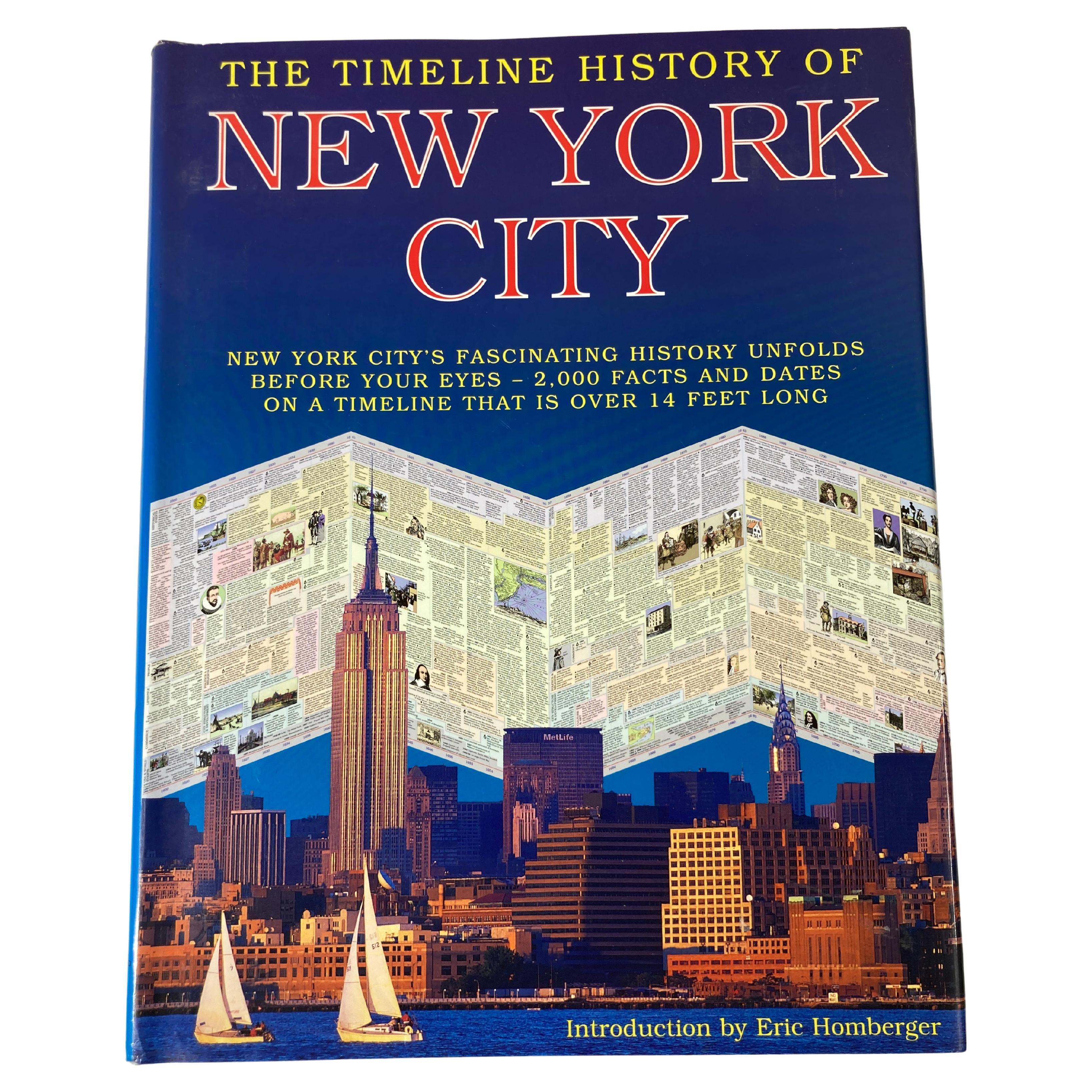
- The Timeline History of New York City BookLocated in North Hollywood, CAThe Timeline History of New York City Book Playne Books Ltd; Worth Press Ltd; Hardcover book. A hands-on presentation of New York's history feat...Category
21st Century and Contemporary American Expressionist Books
MaterialsPaper
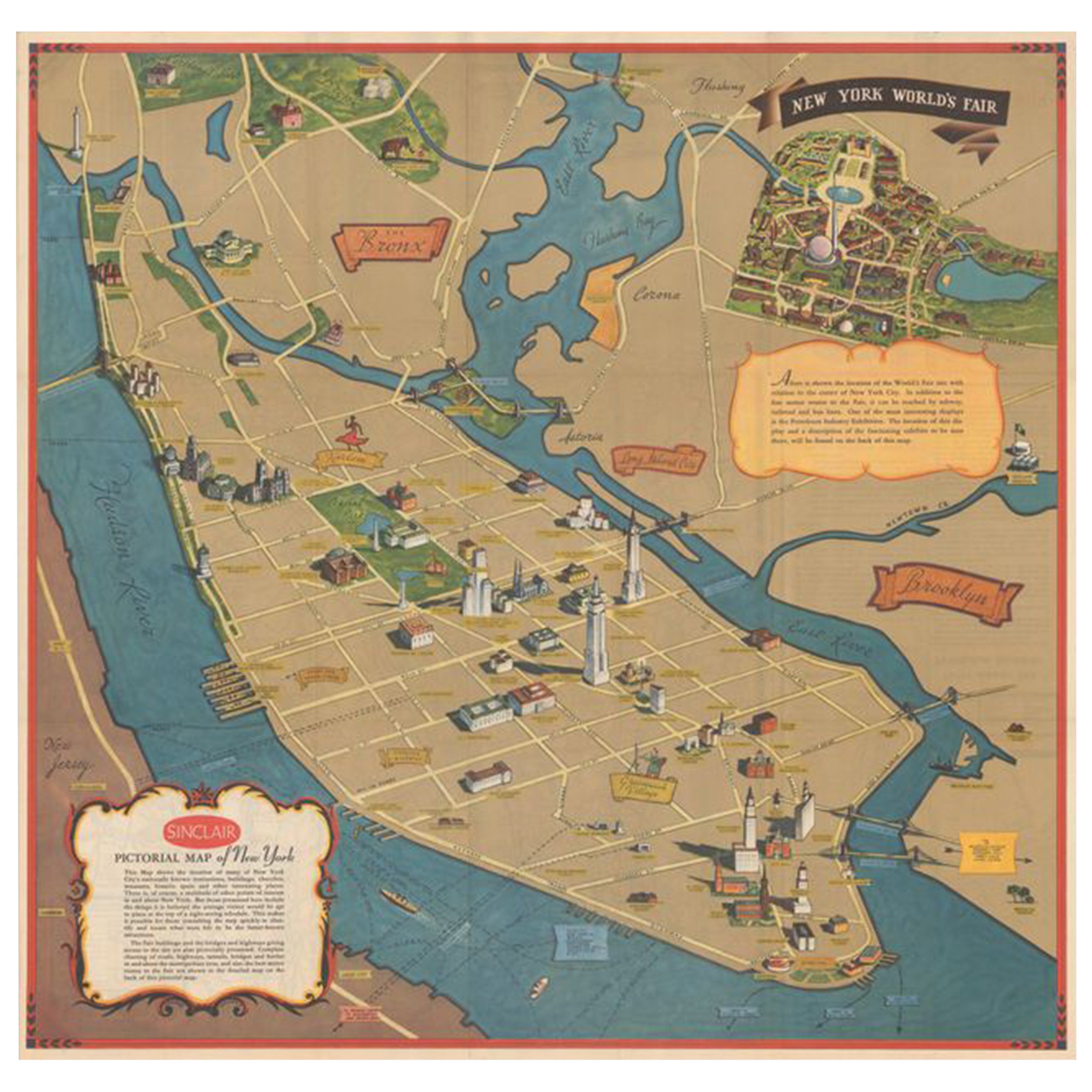
- Pictorial Vintage Map of New York City Showing Numerous Landmarks, 1939Located in Langweer, NLThis pictorial souvenir map focuses on New York City and the site of the 1939 World's Fair. It was drawn by graphic artist George Annand and published by Sinclair Oil...Category
Vintage 1930s Maps
MaterialsPaper
 $453 Sale Price24% Off