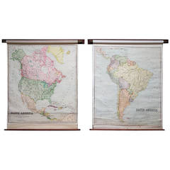
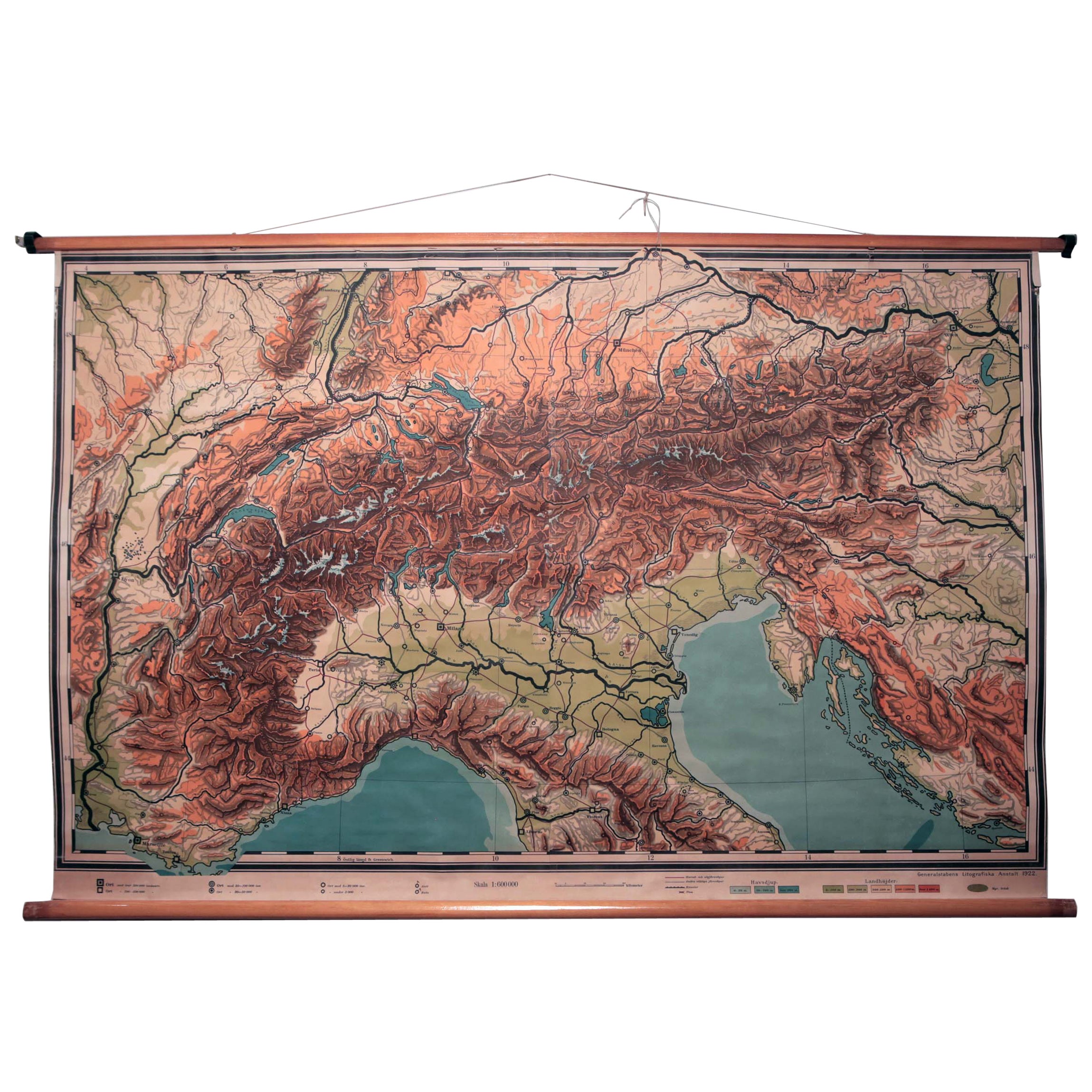
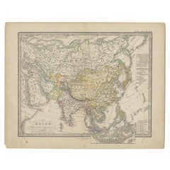
School Maps
View Similar Items

1 of 5
School Maps
About the Item
- Dimensions:Height: 66.15 in (168 cm)Width: 52.37 in (133 cm)Depth: 3.94 in (10 cm)
- Sold As:Set of 2
- Place of Origin:
- Period:
- Date of Manufacture:1925
- Condition:
- Seller Location:Llandudno, GB
- Reference Number:1stDibs: LU94932033212
Authenticity Guarantee
In the unlikely event there’s an issue with an item’s authenticity, contact us within 1 year for a full refund. DetailsMoney-Back Guarantee
If your item is not as described, is damaged in transit, or does not arrive, contact us within 7 days for a full refund. Details24-Hour Cancellation
You have a 24-hour grace period in which to reconsider your purchase, with no questions asked.Vetted Professional Sellers
Our world-class sellers must adhere to strict standards for service and quality, maintaining the integrity of our listings.Price-Match Guarantee
If you find that a seller listed the same item for a lower price elsewhere, we’ll match it.Trusted Global Delivery
Our best-in-class carrier network provides specialized shipping options worldwide, including custom delivery.You May Also Like
Antique Map of Asia from a German School Atlas, c.1870
Located in Langweer, NL
Antique map titled 'Asien'. Old map of the Asian continent. This map originates from 'H. Kiepert's Kleiner Atlas der Neueren Geographie für Schule und Haus'.
Artists and Engravers:...
Category
Antique 19th Century Maps
Materials
Paper

$133 Sale Price
20% Off
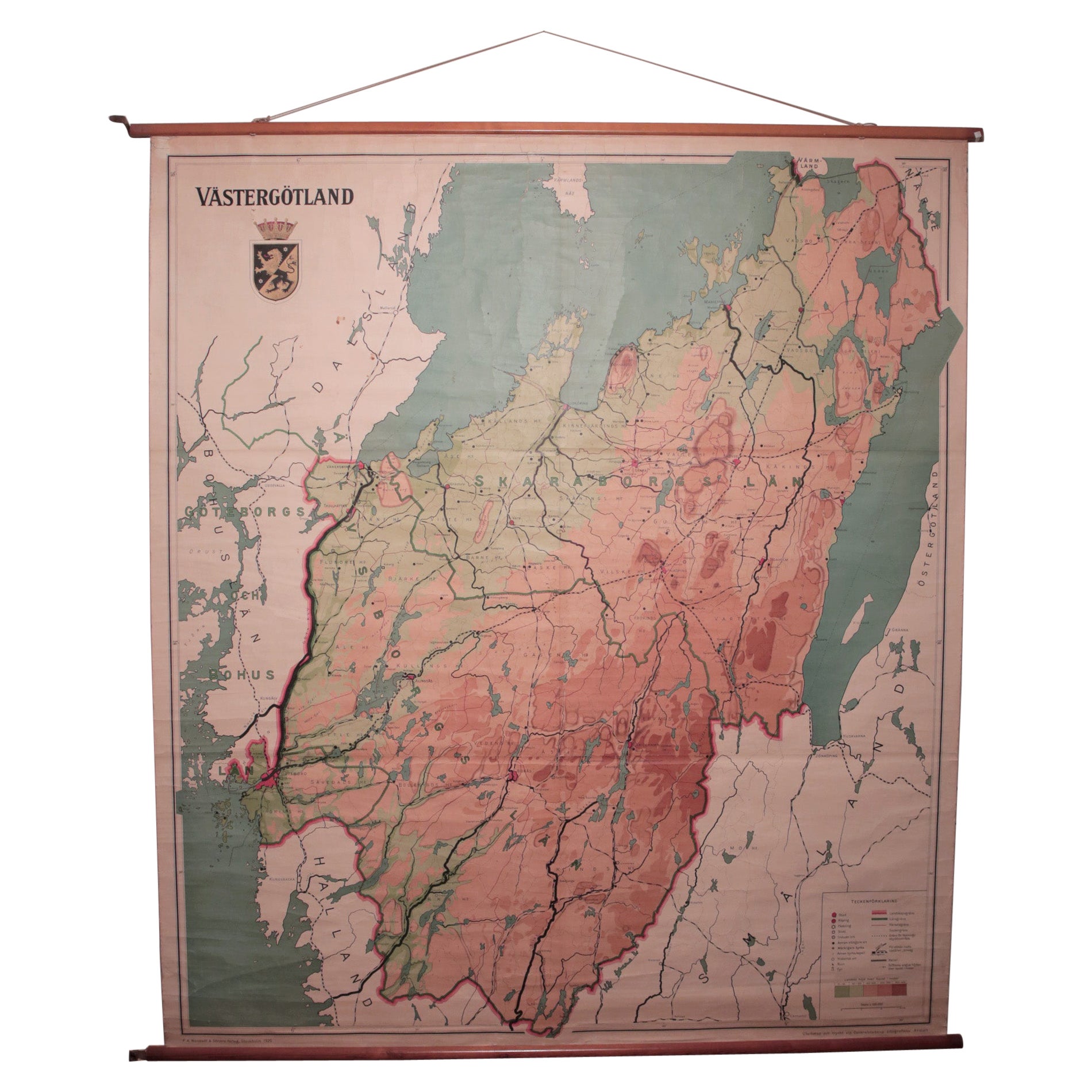
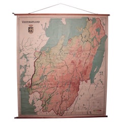
Vintage Swedish School Map of Vastergötland, Made in Sweden 1920
Located in Los Angeles, CA
Vintage Swedish School Map of Vastergötland, Made in Sweden 1920
Västergötland also known as West Gothland or the Latinized version Westrogothia in older literature, is one of the...
Category
Vintage 1920s Swedish Maps
Materials
Linen, Wood, Paper
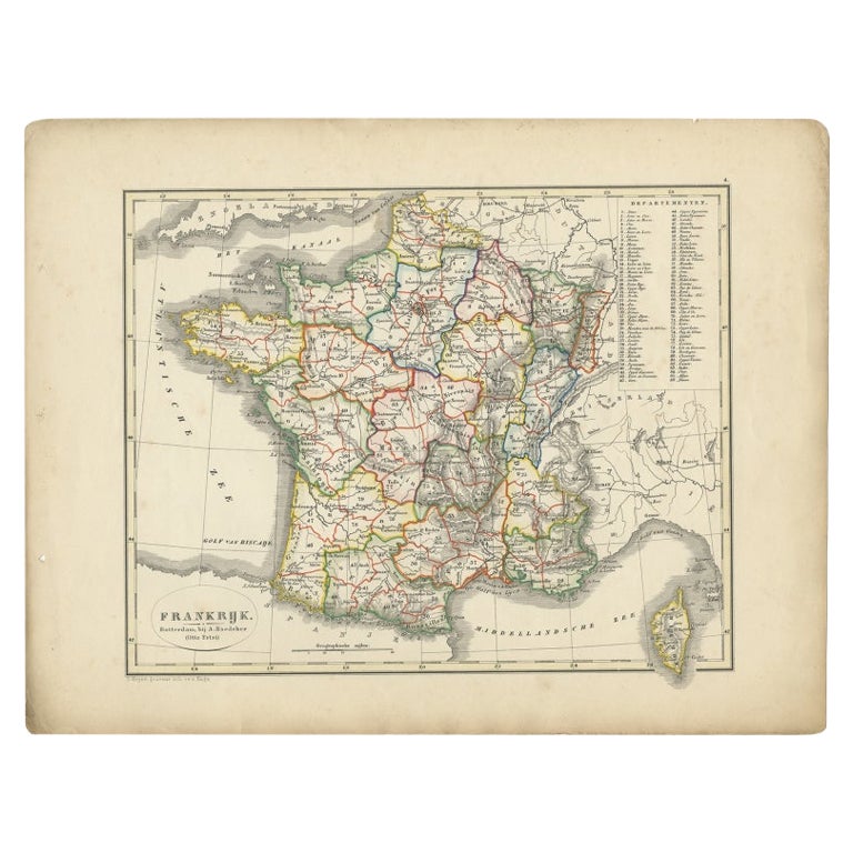
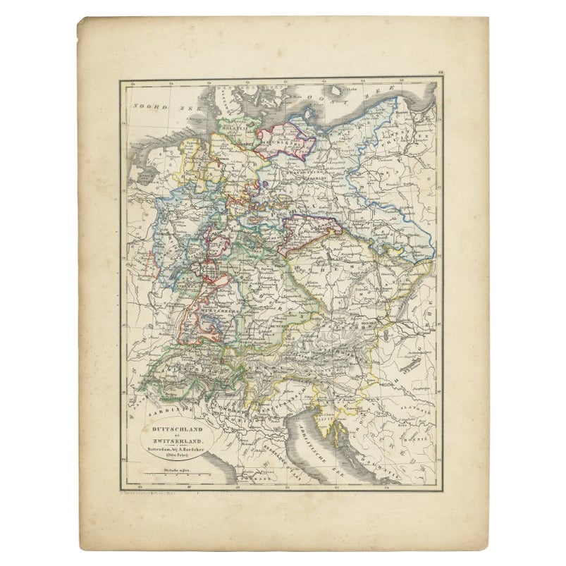
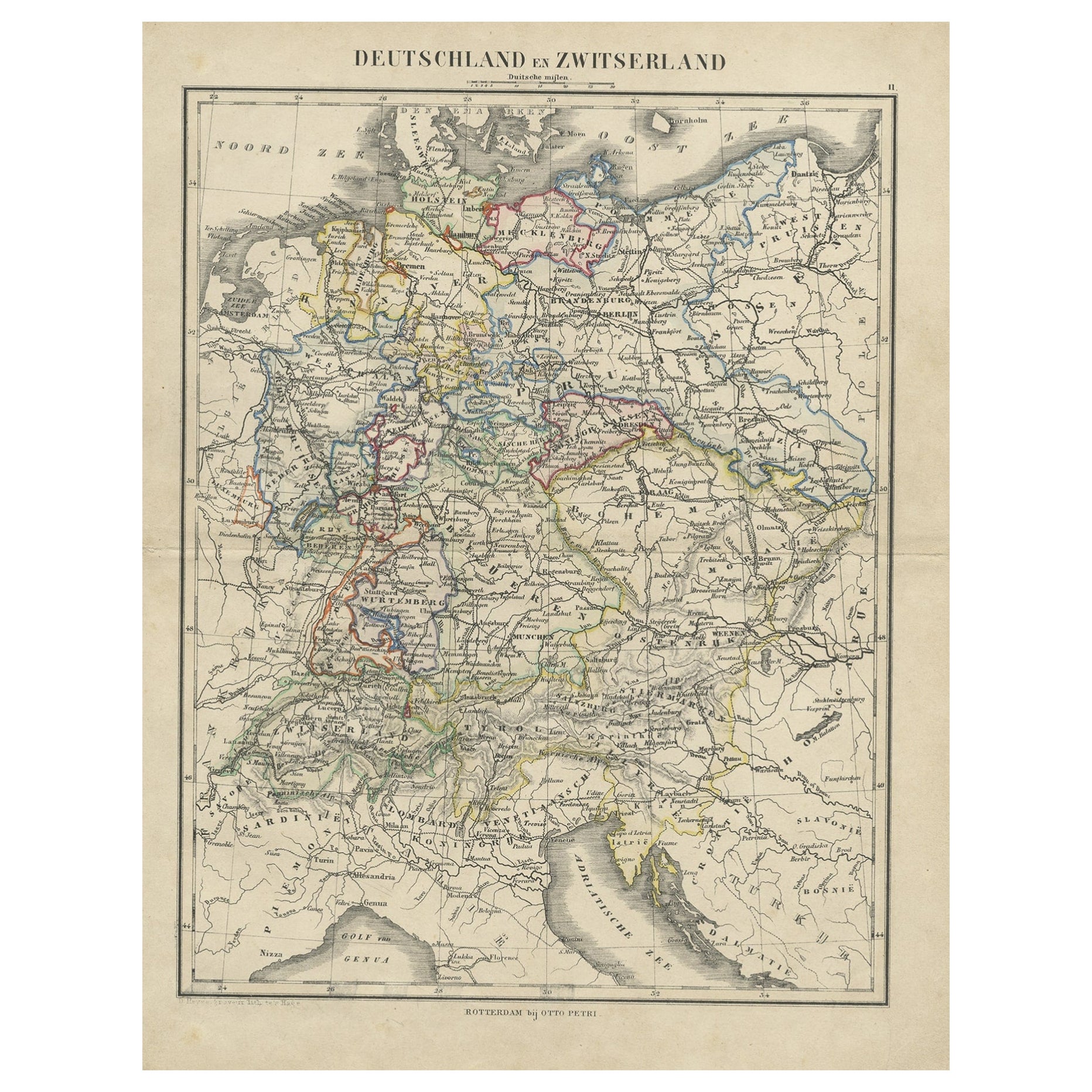
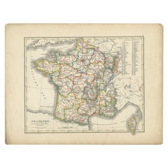
Antique Map of France from an Old Dutch School Atlas, 1852
Located in Langweer, NL
Antique map titled 'Frankrijk'. Map of France. This map originates from 'School-Atlas van alle deelen der Aarde' by Otto Petri. Artists and Engravers: Published by A. Baedeker (Otto ...
Category
Antique 19th Century Maps
Materials
Paper
$111 Sale Price
20% Off
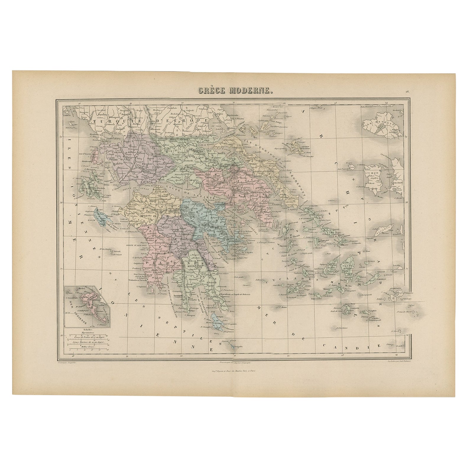
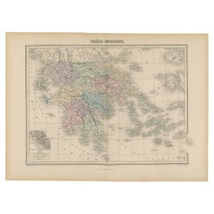
Antique Map of Greece from an Old French School Atlas, 1880
Located in Langweer, NL
Antique map titled 'Grèce Moderne '. Old map of Greece and surroundings. This map originates from 'Géographie Universelle Atlas-Migeon' by J. Migeon. Artists and Engravers: Published...
Category
Antique 19th Century Maps
Materials
Paper
$102 Sale Price
20% Off
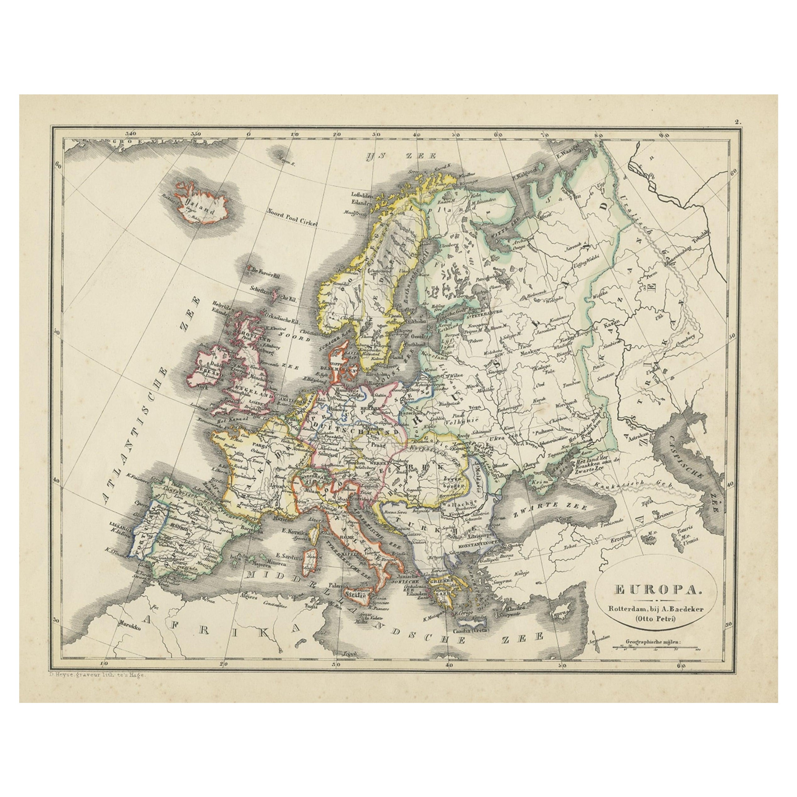
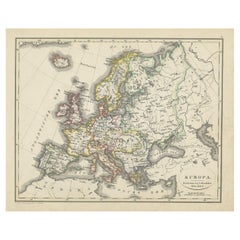
Antique Map of Europe from an Old Dutch School-Atlas, 1852
Located in Langweer, NL
Antique map titled 'Europa'. Map of Europe. This map originates from 'School-Atlas van alle deelen der Aarde' by Otto Petri.
Artists and Engravers: Published by A. Baedeker (Otto...
Category
Antique 19th Century Maps
Materials
Paper
$130 Sale Price
20% Off
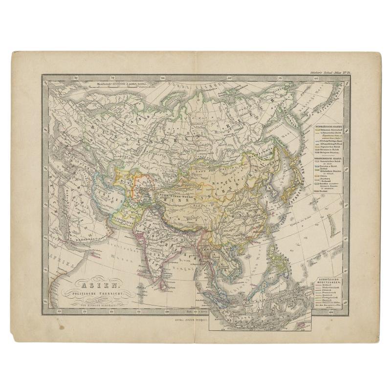
Antique Map of the Asian Continent from a German School Atlas, 1862
Located in Langweer, NL
Antique map titled 'Asien Politische Ubersicht'. Old map of the Asian continent. Originates from Stieler's 'Schul-Atlas'.
Artists and Engravers: Published by Johan Georg Justus Per...
Category
Antique 19th Century Maps
Materials
Paper
$86 Sale Price
20% Off
Recently Viewed
View AllMore Ways To Browse
Milo Baughman Chrome Stools
Milo Baughman Patchwork
Mobler Bench
Mocha Pot
Mogensen Hunting Chair
Moorish Fretwork
Moorish Side Table Mother Of Pearl
Morelato Bellagio
Moroccan Tile Table
Morrocan Moorish Hexagonal Table
Moulins Des Loups
Mueller Furniture Mid Century
Murano Glass Etched Tray
Mushroom Wallpaper
Nachtmann Crystal
Nakashima Cushion
Narra Wood Furniture
Narra Wood