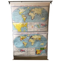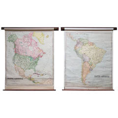
School Maps
View Similar Items

1 of 5
School Maps
About the Item
- Dimensions:Height: 66.15 in (168 cm)Width: 52.37 in (133 cm)Depth: 3.94 in (10 cm)
- Sold As:Set of 2
- Place of Origin:
- Period:
- Date of Manufacture:1925
- Condition:
- Seller Location:Llandudno, GB
- Reference Number:1stDibs: LU94932033212
You May Also Like
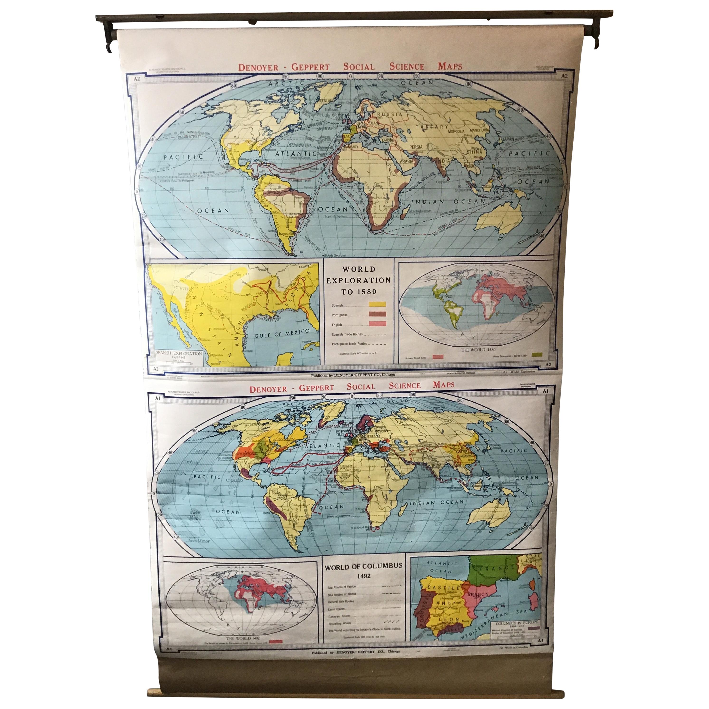
- 1967 World Exploration School MapLocated in Tarrytown, NYPull down world exploration map from 1967.Category
Vintage 1960s Maps
MaterialsPaper
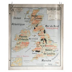
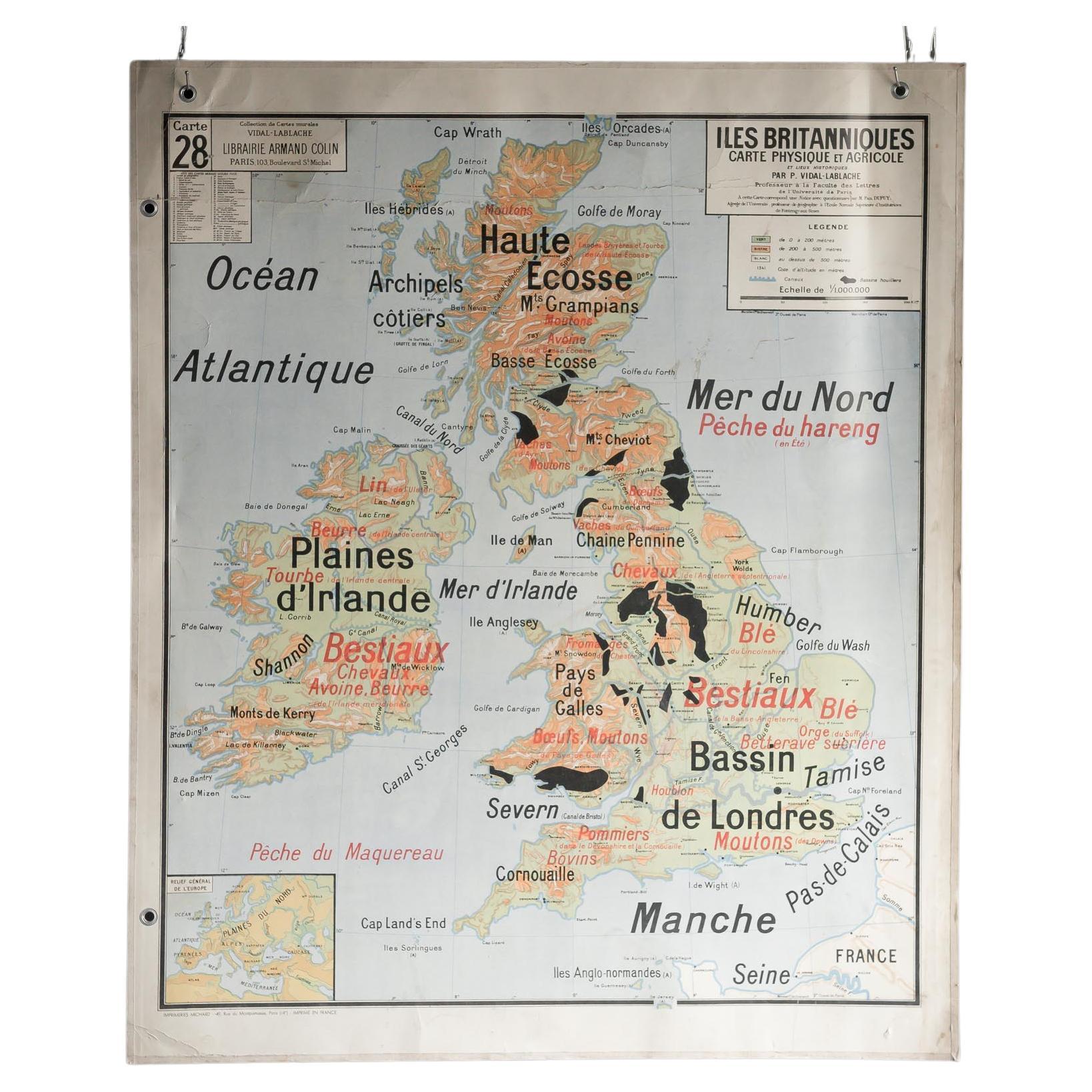
- French School Map of Uk, Double-SidedLocated in Alton, GBMap of the UK in french made for schools from the 20th century.Category
20th Century Maps
MaterialsPaper
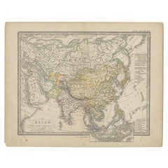
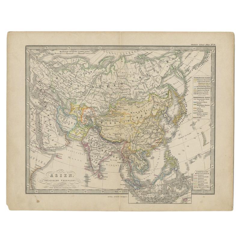
- Antique Map of Asia from a German School Atlas, c.1870Located in Langweer, NLAntique map titled 'Asien'. Old map of the Asian continent. This map originates from 'H. Kiepert's Kleiner Atlas der Neueren Geographie für Schule und Haus'. Artists and Engravers:...Category
Antique 19th Century Maps
MaterialsPaper
 $125 Sale Price20% Off
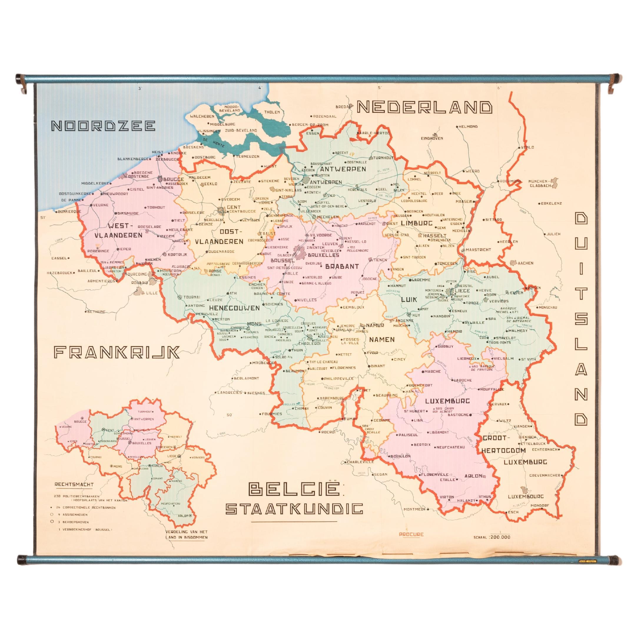
 - XL Old School Map of Belgium 'Printed by Procure', 1950sLocated in Oostende, BEXL Old school map of Belgium (Printed by Procure). Presumably from around 1950-1960.Category
Vintage 1950s Belgian Mid-Century Modern Maps
MaterialsMetal
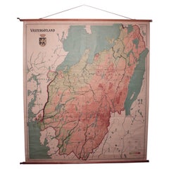
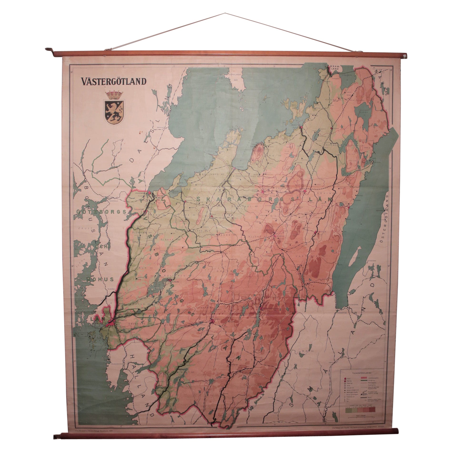
- Vintage Swedish School Map of Vastergötland, Made in Sweden 1920Located in Los Angeles, CAVintage Swedish School Map of Vastergötland, Made in Sweden 1920 Västergötland also known as West Gothland or the Latinized version Westrogothia in older literature, is one of the...Category
Vintage 1920s Swedish Maps
MaterialsLinen, Wood, Paper
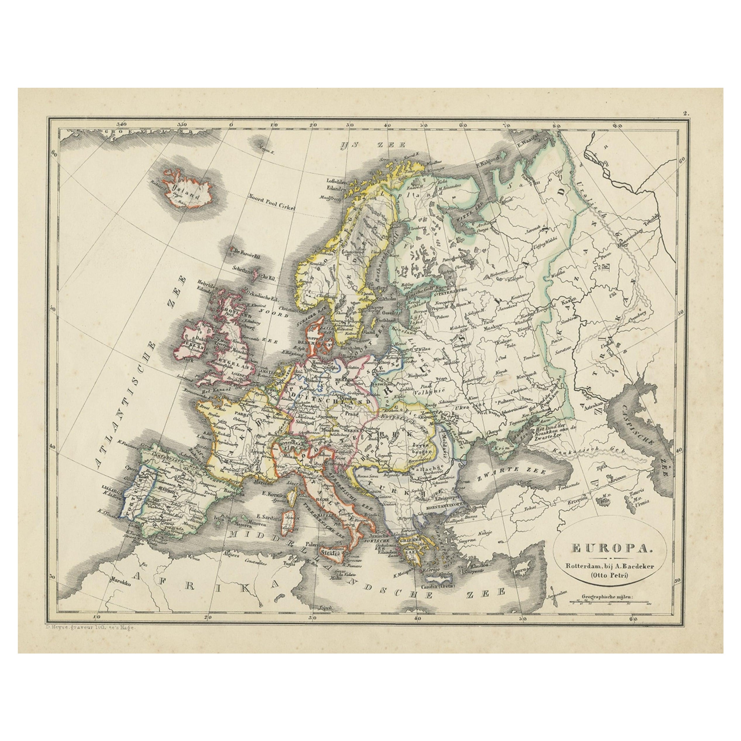
- Antique Map of the Asian Continent from a German School Atlas, 1862Located in Langweer, NLAntique map titled 'Asien Politische Ubersicht'. Old map of the Asian continent. Originates from Stieler's 'Schul-Atlas'. Artists and Engravers: Published by Johan Georg Justus Per...Category
Antique 19th Century Maps
MaterialsPaper