Items Similar to 19th Century Nautical Chart of Martinique

Want more images or videos?
Request additional images or videos from the seller
1 of 5
19th Century Nautical Chart of Martinique
About the Item
Original map of Martinique from 1887 with chartered waters around the island. Prepared from a French survey, completed in 1825, showing town, ports, rivers and tributaries. Published in 1887 by the Hydrographers Department, Office of the Navy, Washington DC. Framed with a silver rope motif.
- Dimensions:Height: 42 in (106.68 cm)Width: 35 in (88.9 cm)Depth: 3 in (7.62 cm)
- Period:
- Date of Manufacture:1887
- Condition:Condition reports are opinions. Buyers are encouraged to ask questions.
- Seller Location:Norwell, MA
- Reference Number:
About the Seller
5.0
Vetted Seller
These experienced sellers undergo a comprehensive evaluation by our team of in-house experts.
Established in 1967
1stDibs seller since 2015
346 sales on 1stDibs
Typical response time: 2 hours
- ShippingRetrieving quote...Ships From: Norwell, MA
- Return PolicyA return for this item may be initiated within 1 day of delivery.
More From This SellerView All
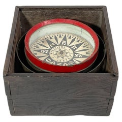
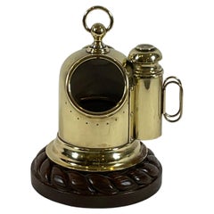
- 19th Century Ships Compass From AmsterdamLocated in Norwell, MAAntique ships compass with interesting Dutch lettering. Spun brass bowl with gimbal. Fitted to a primitive dovetailed box. Circa 1880. With compas...Category
Antique 1880s European Scientific Instruments
MaterialsBrass
- Chart of Boston's North ShoreLocated in Norwell, MARarely found restrike of an 1804 chart by Nathanael Bowditch of the Harbors of Salem, Marblehead, Beverly, and Manchester. Showing the Islands of Great Misery, Satan, Cuney, Winter,...Category
Vintage 1980s North American Maps
MaterialsPaper
- 1898 Chart of Boston BayLocated in Norwell, MAOriginal 1898 chart showing Massachusetts Bay with the coast from Cape Ann to Cape Cod. This is a U.S. Navy Geodetic survey chart. All towns are noted along the coast. Framed with gl...Category
Antique 1890s Nautical Objects
MaterialsPaper
- 1865 Chart of the Islands of MadeiraLocated in Norwell, MARare James Imray chart from 1865 titled "Chart of the Islands of Madeira, Porto Santo and Dezerea" drawn from the survey made by Captain Ate Vidal Royal Navy, London. Published by Ja...Category
Antique 1860s European Maps
MaterialsPaper
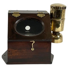
- Boat Binnacle Compass from the 19th CenturyLocated in Norwell, MARare yacht binnacle with a highly polished gimballed compass fitted to a varnished box. The box has a polished brass side burner and hinges, hooks, and screws. First class nautical r...Category
Antique 1890s North American Scientific Instruments
MaterialsBrass
- Brass Yacht Binnacle From the 19th CenturyLocated in Norwell, MAVery fine antique boat compass fitted to a polished brass case. The binnacle is fitted to a carved wood base with rope border. Fitted with an atta...Category
Antique 1890s North American Nautical Objects
MaterialsBrass


You May Also Like
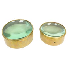
- Antique Nautical Chart Brass MagnifiersLocated in New York, NYEach with domed glass set within a brass surround. Of large size. Dimensions: One: Height: 4 x Diameter: 8.5 inchesThe Other: Height: 4.5 x Diameter: 11 inchesCategory
Early 20th Century Nautical Objects
MaterialsBrass
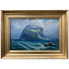
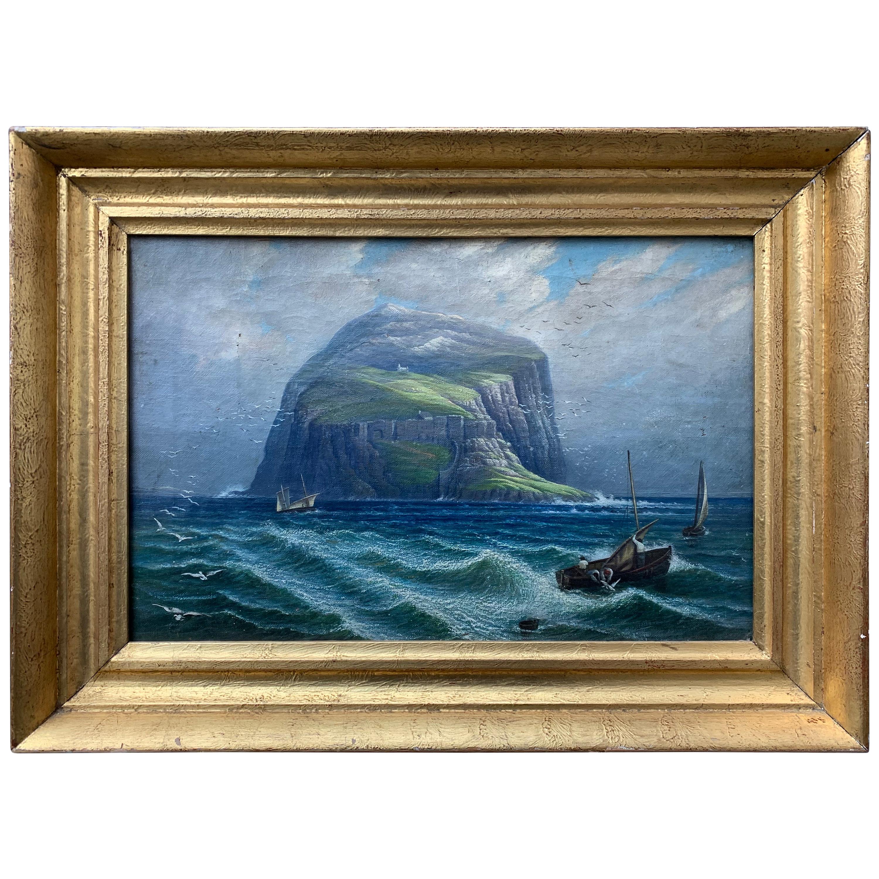
- Swedish 19th Century Nautical Oil Painting of a Coastline and Sailing BoatsLocated in Haddonfield, NJA 19th century oil painting on canvas representing a rocky island, coastline and sailing boats.Category
Antique Late 19th Century Swedish Romantic Paintings
MaterialsCanvas
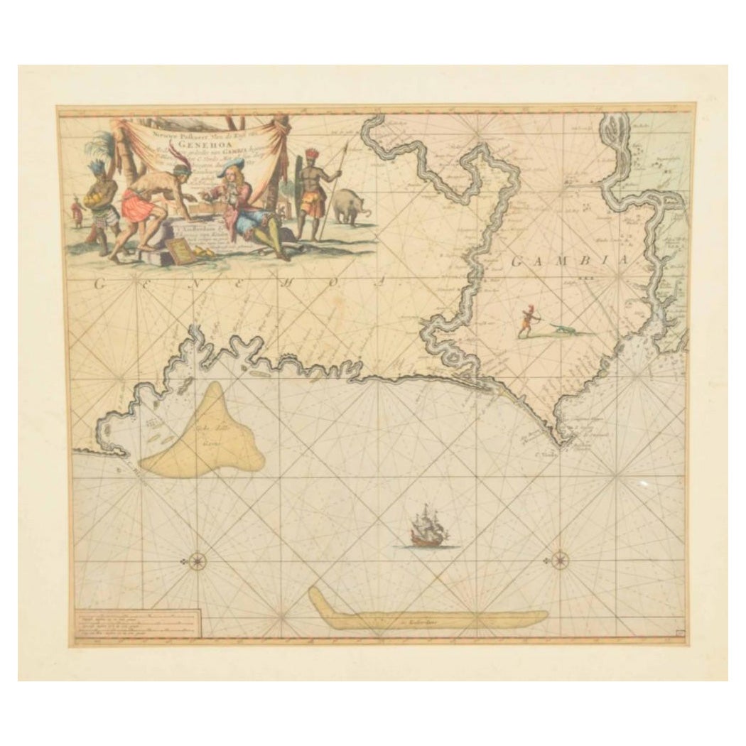
- Original Hand-Coloured Nautical Chart of West-Africa, c.1680Located in Langweer, NLNIEUWE PASKAERT VAN DE KUST VAN GENEHOA (Senegal) alsmede een gedeelte van Gambia beginnende an C. Blanco tot C. Verde (...). Amsterdam, Johannus van Keulen, c. 1680. Large folio...Category
Antique 17th Century Maps
MaterialsPaper
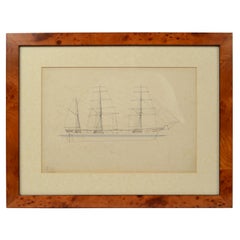
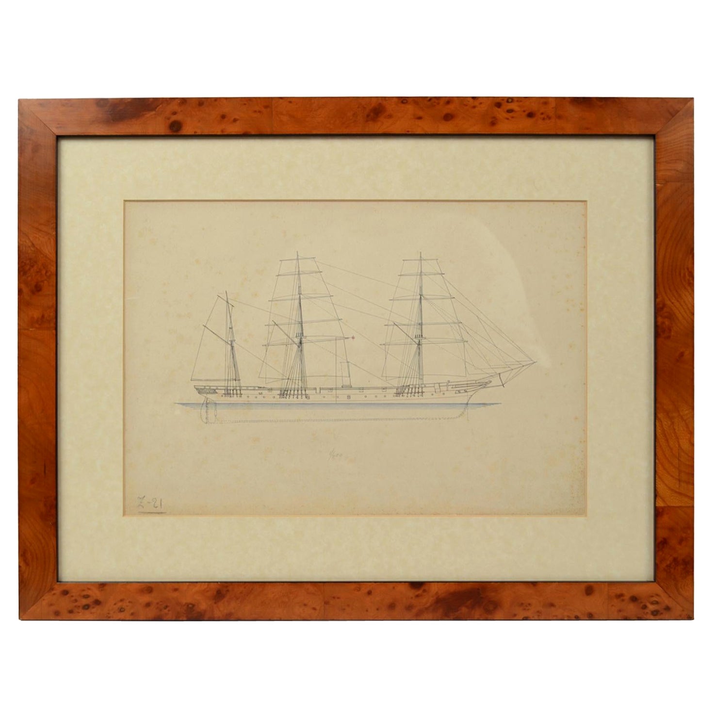
- Print No. 1 of 400 Depicting a Nautical Schooner Made in the Mid-19th CenturyLocated in Milan, ITPrint depicting a schooner, no. 1 of 400 copies signed Z21, made in the mid-19th century. Non-coeval briarwood frame; measures with frame 50 x 40 cm.Category
Antique 1850s British Nautical Objects
MaterialsPaper
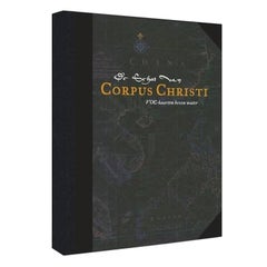
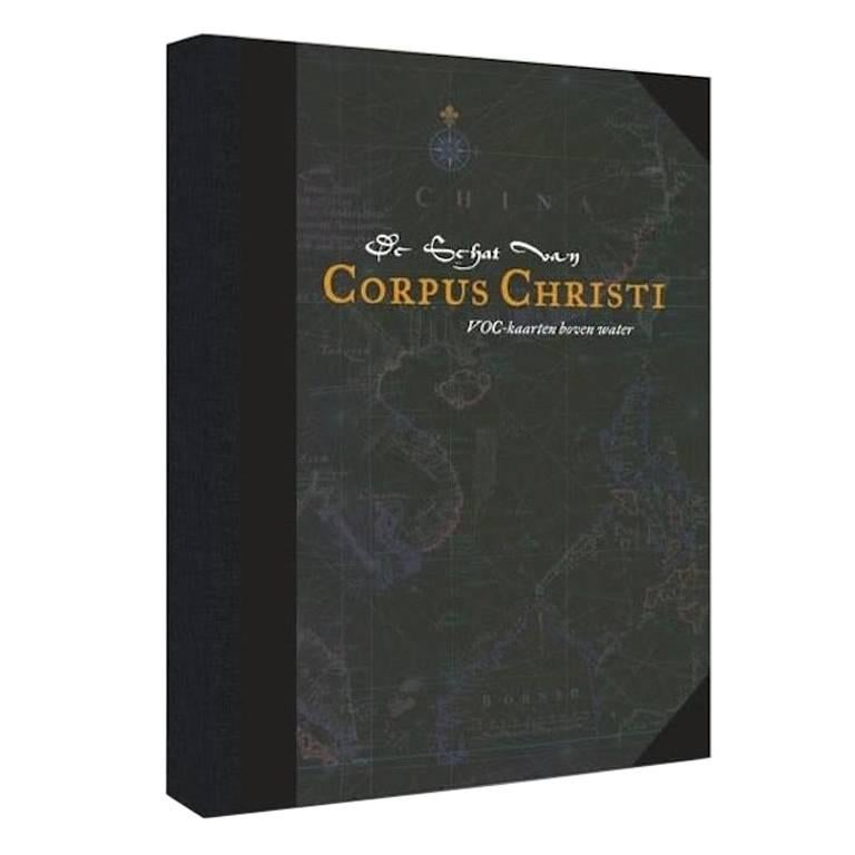
- Facsimile with 30 VOC Nautical Charts, the Treasure of Corpus ChristiLocated in Langweer, NLFacsimile with 30 large format VOC nautical charts in limited and numbered edition. Sjoerd de Meer, Frits Loomeijer (The Treasure of Corpus Christi) - ...Category
21st Century and Contemporary Books
MaterialsPaper
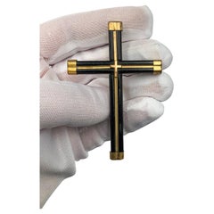
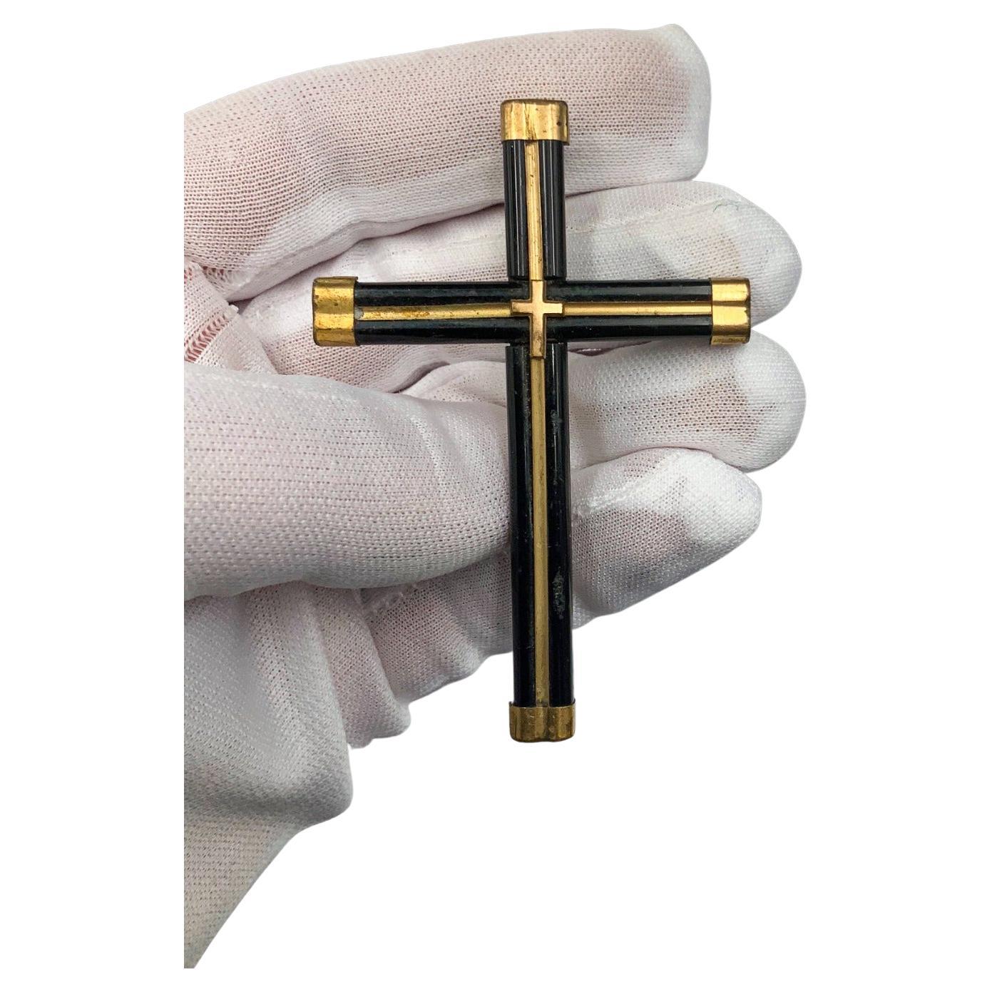
- Brooch in the Shape of a Cross 19th Century 19th CenturyBy Europa AntiquesLocated in Madrid, ESBrooch in the shape of a cross xix century It is made of wood and golden metal. Measures: 8 x 5 cm Good condition.Category
Antique 19th Century Italian Gothic Religious Items
MaterialsBronze