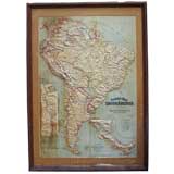
Papier Mache' Relief Map of South America
View Similar Items


1 of 5
Papier Mache' Relief Map of South America
$800List Price
About the Item
- Dimensions:Height: 48 in (121.92 cm)Width: 34 in (86.36 cm)
- Place of Origin:
- Period:
- Date of Manufacture:1907
- Condition:original.
- Seller Location:Treasure Island, CA
- Reference Number:1stDibs: U07080779931499
Authenticity Guarantee
In the unlikely event there’s an issue with an item’s authenticity, contact us within 1 year for a full refund. DetailsMoney-Back Guarantee
If your item is not as described, is damaged in transit, or does not arrive, contact us within 7 days for a full refund. Details24-Hour Cancellation
You have a 24-hour grace period in which to reconsider your purchase, with no questions asked.Vetted Professional Sellers
Our world-class sellers must adhere to strict standards for service and quality, maintaining the integrity of our listings.Price-Match Guarantee
If you find that a seller listed the same item for a lower price elsewhere, we’ll match it.Trusted Global Delivery
Our best-in-class carrier network provides specialized shipping options worldwide, including custom delivery.You May Also Like
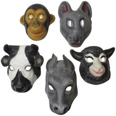
Set of Five Papier Mâché Animal Masks
Located in East Hampton, NY
Set of five signed and numbered papier mâché masks.
Donkey 13.5" H x 7" W
Sheep 8.75" H x 10.5" W
Mouse 10.25" H x 9.25" W
Monkey 12.5" H x 8.75" W
Cow 10.75" H x 9.25" W.
Category
20th Century Decorative Art
Materials
Paper
$795 / set
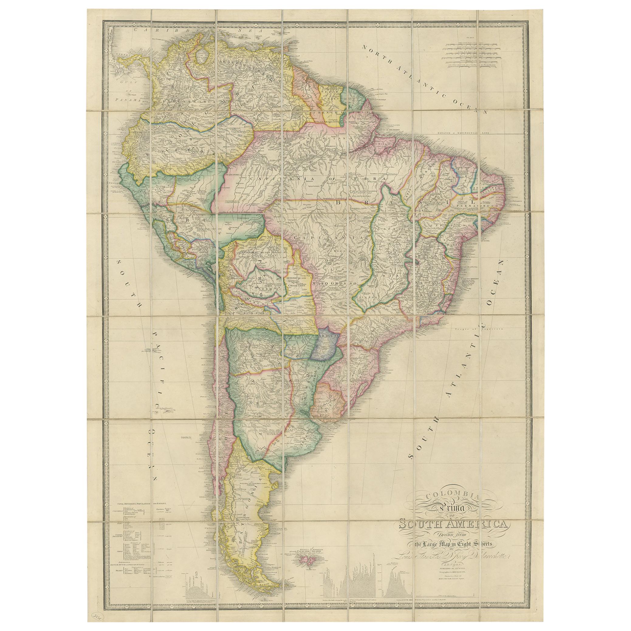
Antique Map of South America by Wyld, circa 1850
By J. Wyld
Located in Langweer, NL
Beautiful folding map of South America titled 'Colombia Prima or South America Drawn from the Large Map in Eight Sheets by Louis Stanislas D ' Arcy Delarochette'. Three insets in the...
Category
Antique Mid-19th Century British Maps
Materials
Paper

$1,386 Sale Price
20% Off
Antique Map of Coiba Island, Panama, South America, C.1740
Located in Langweer, NL
Antique map titled 'Plan de la partie orientale de l'Isle de Quibo'. Map of the eastside of Coiba Island (Quibo), Panama, showing the shoreline around Port de Dames indicating soft s...
Category
Antique 18th Century Maps
Materials
Paper

$325 Sale Price
20% Off
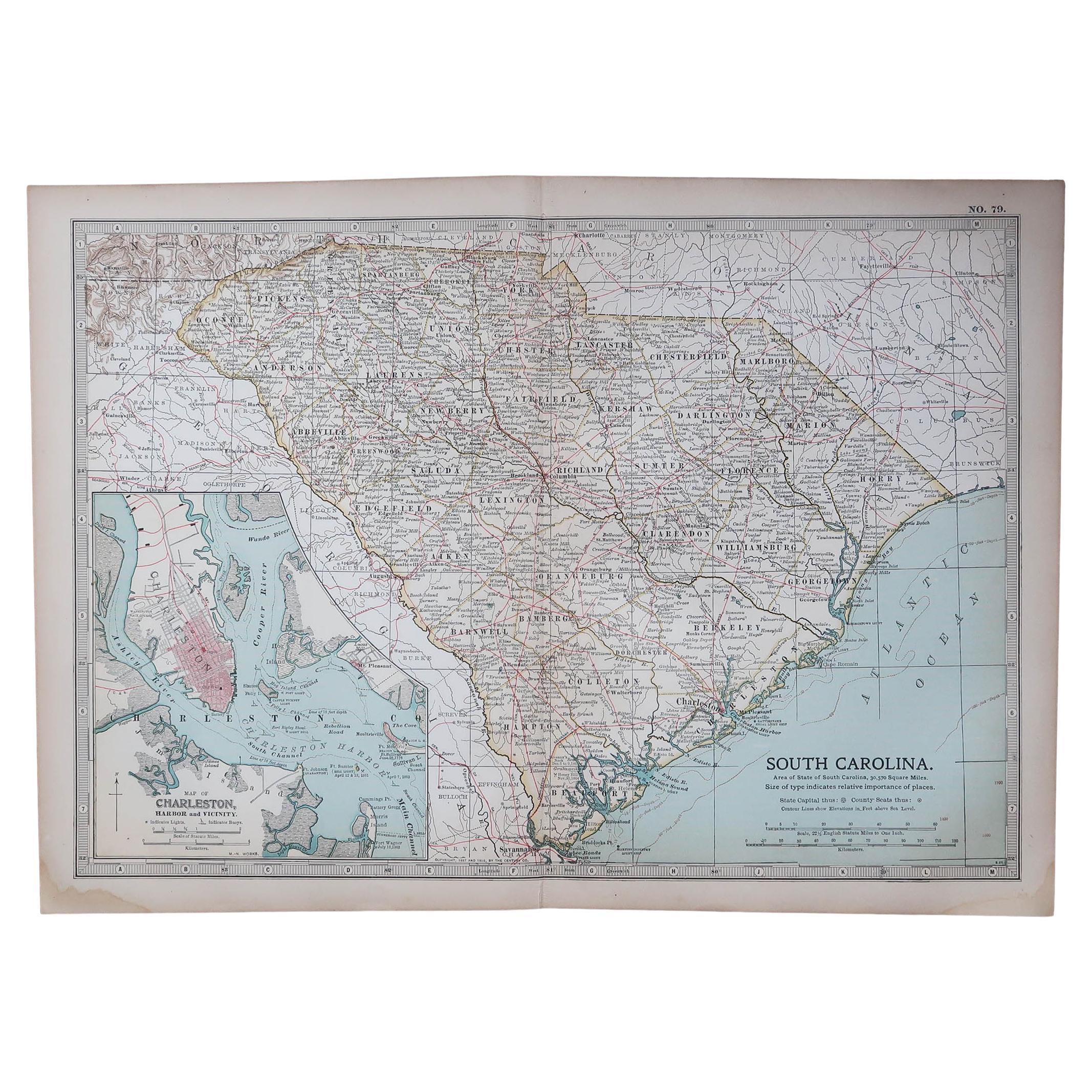
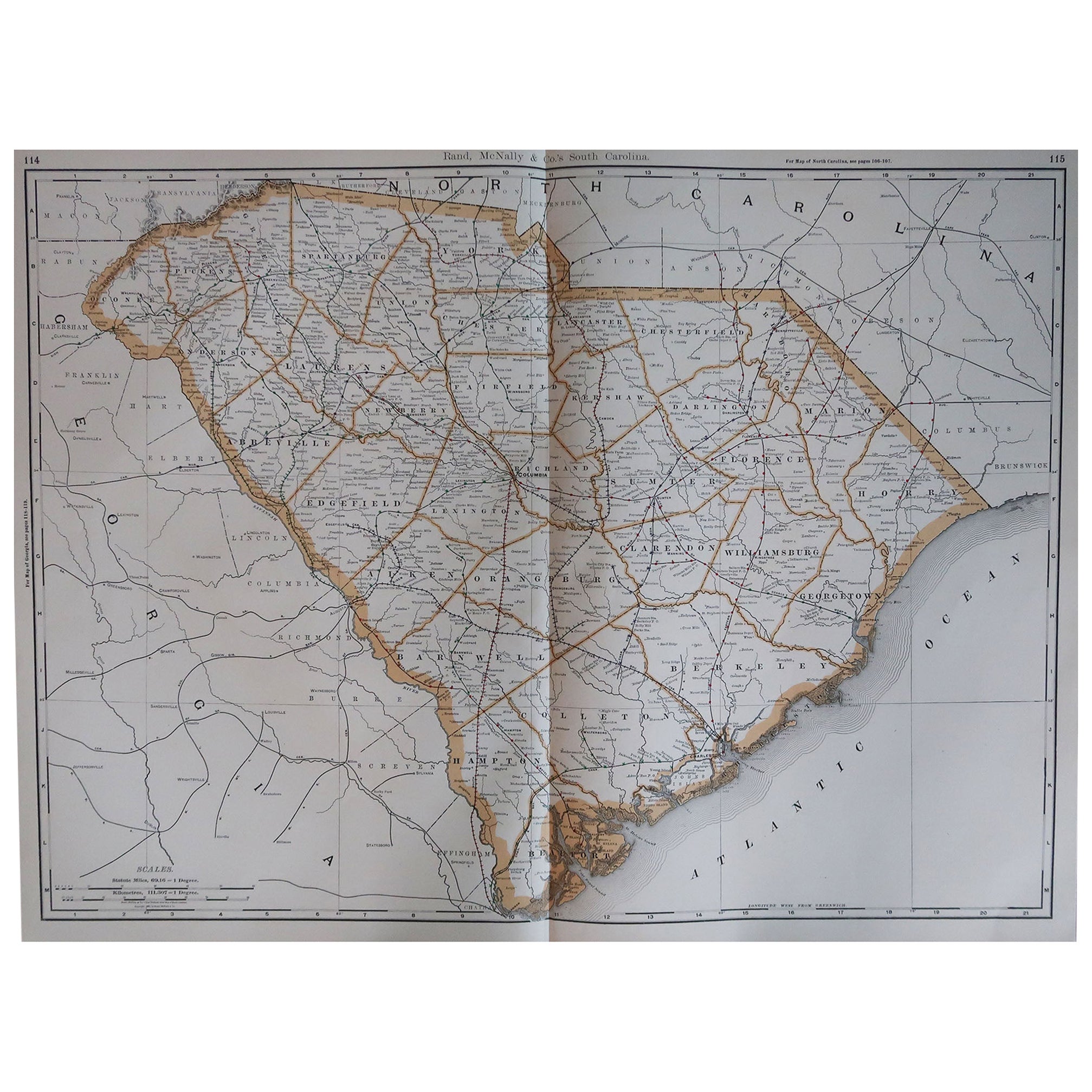
Original Antique Map of the American State of South Carolina, 1903
Located in St Annes, Lancashire
Antique map of South Carolina
Published By A & C Black. 1903
Original colour
Good condition
Unframed.
Free shipping
Category
Antique Early 1900s English Maps
Materials
Paper

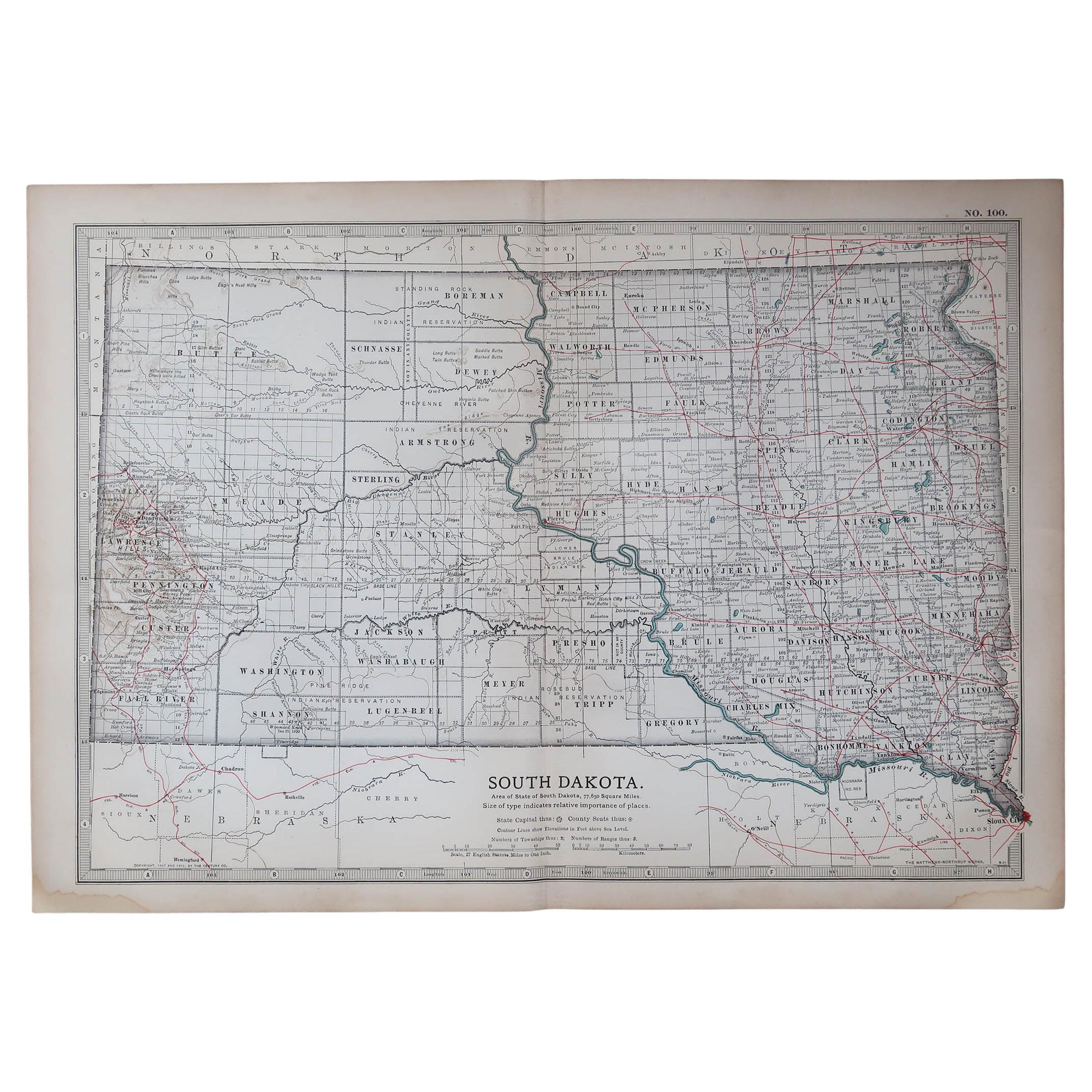
Original Antique Map of the American State of South Dakota, 1903
Located in St Annes, Lancashire
Antique map of South Dakota
Published By A & C Black. 1903
Original colour
Good condition
Unframed.
Free shipping
Category
Antique Early 1900s English Maps
Materials
Paper

World Relief Map
Located in Antwerp, BE
Large world relief map.
Measures: Width 232 cm.
Height 158 cm.
Category
Mid-20th Century German Mid-Century Modern Maps
Materials
Acrylic

$2,151
Recently Viewed
View AllMore Ways To Browse
Papier Mache Wall Art
Vintage Stocking
Vintage Framed Art
Midcentury Wood Wall Panel
Chinoiserie Paper
Mid Century Wall Plaster Art
Owl Wall Art
Framed Antique Fragment
Portuguese Azulejos
Large Metal Wall Art
Delft Tiles Furniture
Horse Wall Art
Antique Hand Fans
Italian Botanical
Ceramic Relief Art
Botanical Wall Art
Mother Of Pearl Wall Art
Copper Plaques