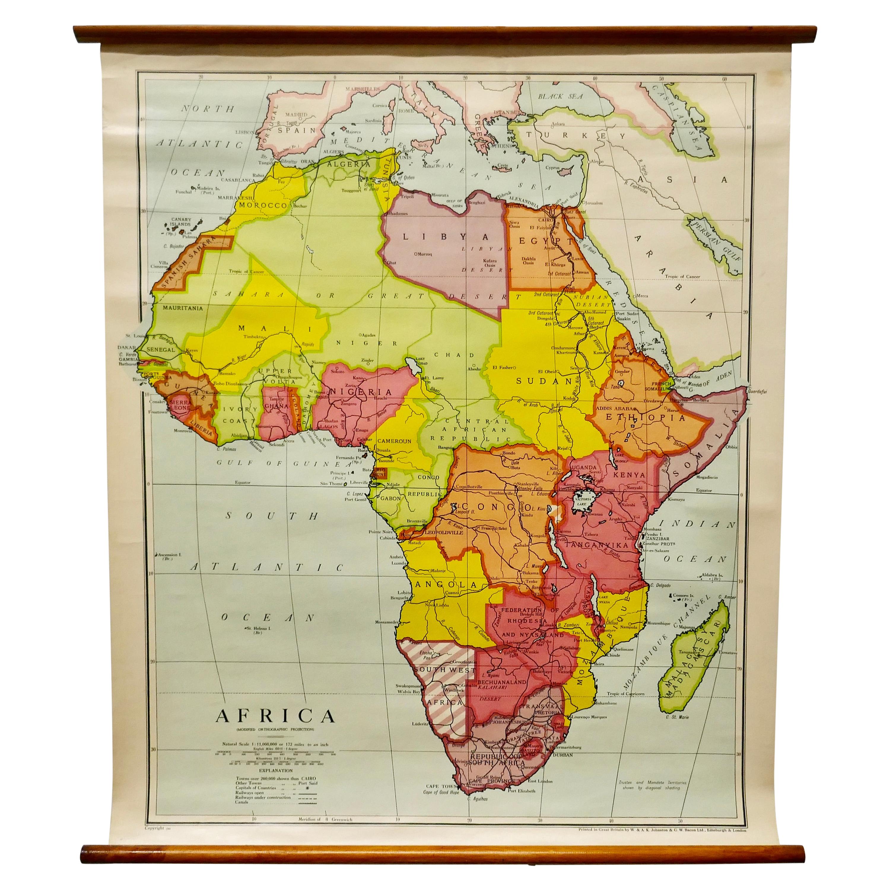
Items Similar to Large University Chart “Physical Map of Africa” by Bacon


Want more images or videos?
Request additional images or videos from the seller
1 of 7
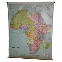
Large University Chart “Physical Map of Africa” by Bacon
$1,201.44
£875
€1,022.29
CA$1,668.33
A$1,820.54
CHF 954.90
MX$22,111.06
NOK 11,927.27
SEK 11,271.87
DKK 7,629.96
About the Item
Large university chart “Physical Map of Africa” by Bacon
W&A K Johnston’s Charts of Physical Maps By G W Bacon,
This is colorful Physical map of North America, it is large lithograph set on Linen mounted on wooden rods, the chart is in very good bright condition, it is 35” high and 31” wide
GB80.
- Dimensions:Height: 35 in (88.9 cm)Diameter: 5 in (12.7 cm)
- Style:Folk Art (In the Style Of)
- Materials and Techniques:
- Period:
- Date of Manufacture:1920
- Condition:
- Seller Location:Godshill, GB
- Reference Number:Seller: GB801stDibs: LU2498321016672
About the Seller
4.9
Gold Seller
Premium sellers maintaining a 4.3+ rating and 24-hour response times
Established in 1980
1stDibs seller since 2017
894 sales on 1stDibs
Typical response time: 1 hour
- ShippingRetrieving quote...Shipping from: Godshill, United Kingdom
- Return Policy
Authenticity Guarantee
In the unlikely event there’s an issue with an item’s authenticity, contact us within 1 year for a full refund. DetailsMoney-Back Guarantee
If your item is not as described, is damaged in transit, or does not arrive, contact us within 7 days for a full refund. Details24-Hour Cancellation
You have a 24-hour grace period in which to reconsider your purchase, with no questions asked.Vetted Professional Sellers
Our world-class sellers must adhere to strict standards for service and quality, maintaining the integrity of our listings.Price-Match Guarantee
If you find that a seller listed the same item for a lower price elsewhere, we’ll match it.Trusted Global Delivery
Our best-in-class carrier network provides specialized shipping options worldwide, including custom delivery.More From This Seller
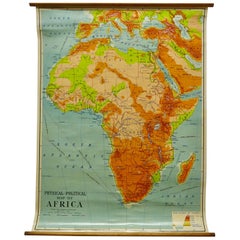
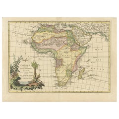
View AllLarge University Chart “Africa Physical ” by Bacon
Located in Godshill, Isle of Wight
Large University chart “Africa Physical ” by Bacon
W&A K Johnston’s charts of physical maps by G W Bacon,
This is a Physical map of Africa, it is lithograph set on Linen mounte...
Category
Early 20th Century Beaux Arts Maps
Materials
Linen

W&A K Johnston’s Charts of Physical Maps by G W Bacon
Located in Godshill, Isle of Wight
Large University chart “Africa Physical Political” by Bacon
W&A K Johnston’s charts of physical maps by G W Bacon,
This is a Physical Political map...
Category
Early 20th Century Rustic Posters
Materials
Linen
Large University Chart “Political Map of North America” by Bacon
Located in Godshill, Isle of Wight
Large University Chart “Political Map of North America” by Bacon
W&A K Johnston’s Charts of Physical Maps By G W Bacon,
This is colourful Physical map ...
Category
Early 20th Century American Empire Posters
Materials
Linen

Large University Chart “Political Map of North America” by Bacon
Located in Godshill, Isle of Wight
Large University chart “Political Map of North America” by Bacon
W&A K Johnston’s Charts of Political Maps by G W Bacon,
This is colorful Physical ...
Category
Early 20th Century American Empire Posters
Materials
Linen

University Chart “Black Map of North America
Located in Godshill, Isle of Wight
University Chart “Black Map of North America
W&A K Johnston’s Charts of Physical Maps By G W Bacon,
This is a Black Physical map of North A...
Category
Early 20th Century Industrial Maps
Materials
Linen

Large University Anatomical Chart “Bones” by Turner
Located in Godshill, Isle of Wight
Large University anatomical chart “Bones” by Turner
W&A K Johnston’s Charts of Anatomy and Physiology by Dr William Turner, Professor of Anatomy Un...
Category
Early 20th Century International Style Posters
Materials
Linen

You May Also Like
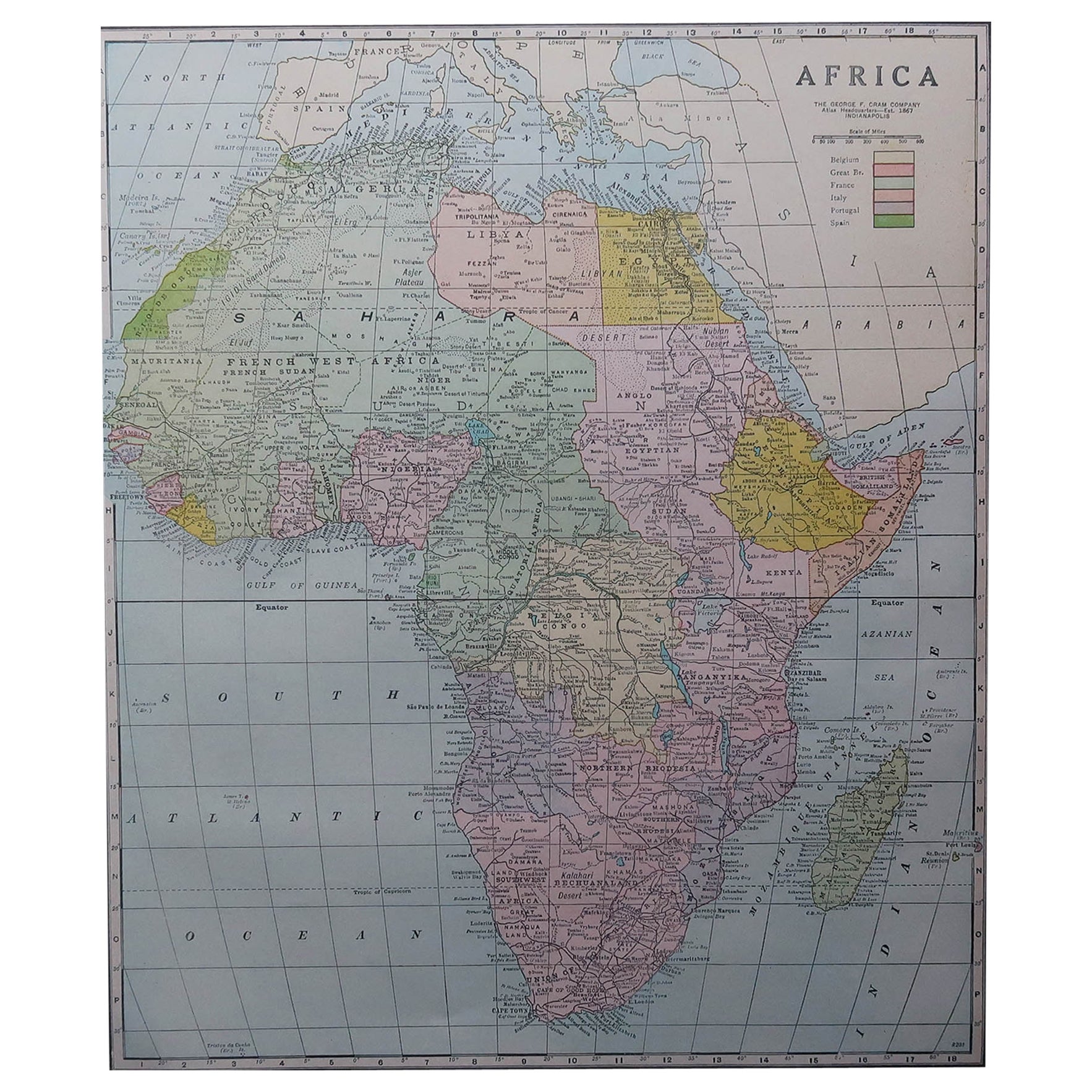
Large Original Antique Map of Africa. C.1900
Located in St Annes, Lancashire
Fabulous map of Africa
Original color.
Engraved and printed by the George F. Cram Company, Indianapolis.
Published, C.1900.
Unframed.
Free shipping.
Category
Antique 1890s American Maps
Materials
Paper

Map of Africa, archival. Printed in Edinburgh, Scotland, 1916. Free Delivery
Located in Madison, WI
Map of Africa from the geography classroom, 1916 edition. Printed in Edinburgh, Scotland. Mounted on pulldown wooden roller with wall mounting brackets....
Category
Early 20th Century Scottish Edwardian Maps
Materials
Wood, Paper
$180 Sale Price
20% Off
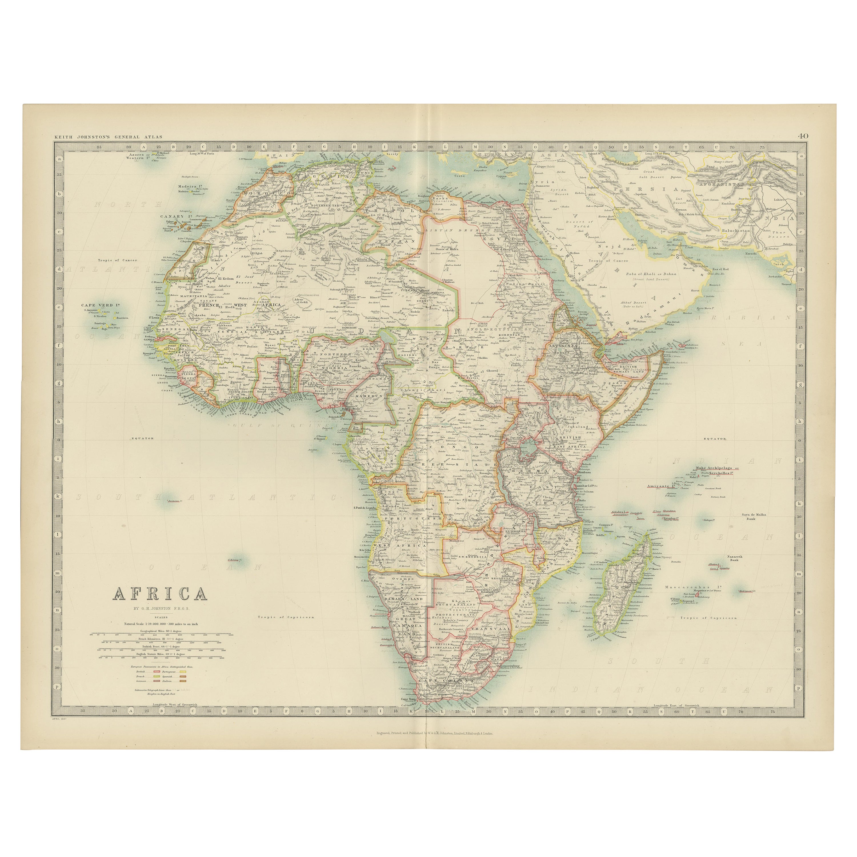
Antique Map of Africa by Johnston (1909)
Located in Langweer, NL
Antique map titled 'Africa'. Original antique map of Africa. This map originates from the ‘Royal Atlas of Modern Geography’. Published by W. & A....
Category
Early 20th Century Maps
Materials
Paper

$239 Sale Price
20% Off
Antique Map of Africa with European Language Borders, 1852
Located in Langweer, NL
Antique map titled 'Afrika'. Map of Africa. This map originates from 'School-Atlas van alle deelen der Aarde' by Otto Petri.
Artists and Engravers: Published by A. Baedeker (Otto...
Category
Antique 19th Century Maps
Materials
Paper

$153 Sale Price
20% Off
Original Antique Map of Africa with large decorative cartouche
Located in Langweer, NL
Original antique map titled 'L'Afrique divisée en ses principaux États'. Attractive and precise map of Africa, with large decorative cartouche. Engraved by Janvier. Published by Dela...
Category
Antique Late 18th Century Maps
Materials
Paper
$949 Sale Price
20% Off
Antique Map of Africa by A & C, Black, 1870
Located in Langweer, NL
Antique map titled 'Africa'. Original antique map of Africa. This map originates from ‘Black's General Atlas of The World’. Published by A & C. Black, 1870.
Category
Antique Late 19th Century Maps
Materials
Paper

$263 Sale Price
20% Off
More Ways To Browse
Large Wall Maps
Hot Posters
Jodie Foster
Luke Skywalker Vintage
Roger Vadim
Rolling Stones Posters
Sabena Airline
Shoe Posters
Vintage Earth Poster
Vintage Guinness Posters
Vintage Liquor Posters
Vintage Poster 1964
Walt Disney Poster
Walt Disney Vintage Poster
1950s Travel Posters
Academy Cinema
French Grande Movie Posters
Intourist Poster