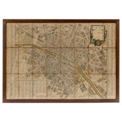
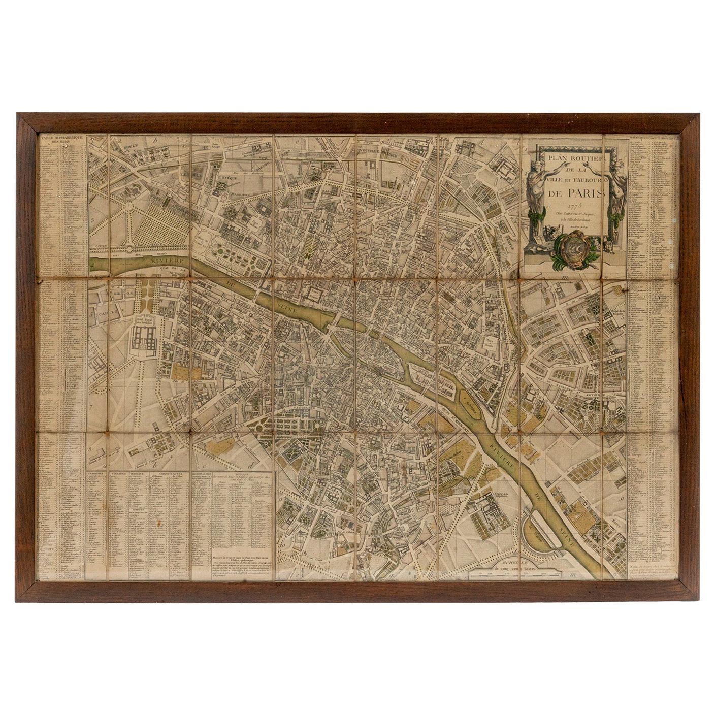
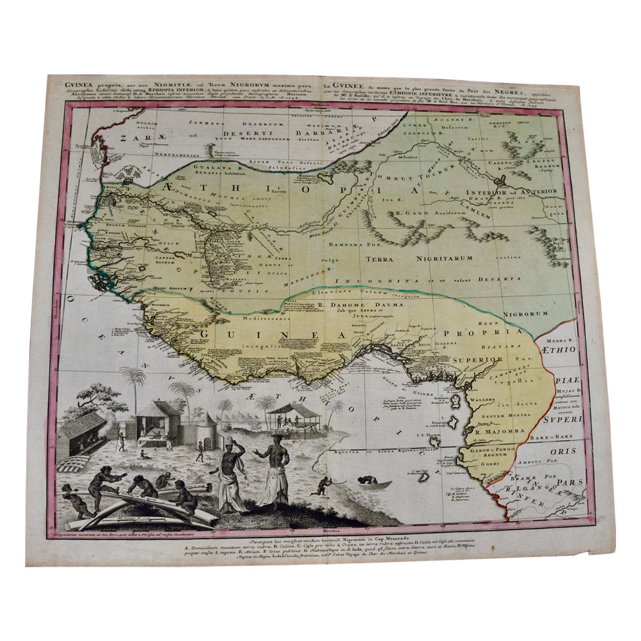
18th Century Footprint Paris Map
View Similar Items


1 of 8
18th Century Footprint Paris Map
About the Item
- Dimensions:Height: 100 in (254 cm)Width: 126 in (320.04 cm)Depth: 0.25 in (6.35 mm)
- Place of Origin:
- Period:
- Date of Manufacture:Unknown
- Condition:
- Seller Location:New York, NY
- Reference Number:1stDibs: 1405138313425
You May Also Like
- 18th Century Map of ParisLocated in Washington, DC18th century map of Paris.Category
Antique Late 18th Century French Prints
MaterialsGlass, Wood, Paper
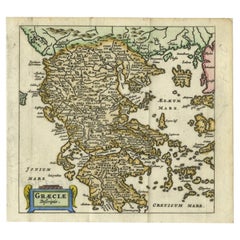
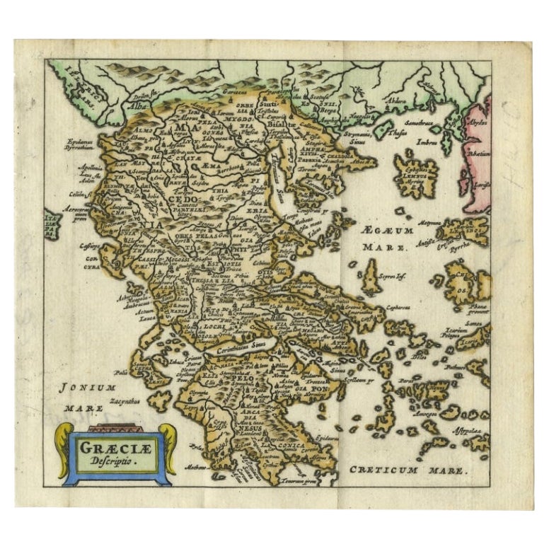
- Charming 18th Century Miniature Map of Greece, 1685Located in Langweer, NLAntique map titled 'Graeciae Descriptio.' Charming miniature map of Greece from the pocket atlas 'Introductionis in Universam Geographiam tam Veterem qu...Category
Antique 17th Century Maps
MaterialsPaper
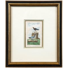
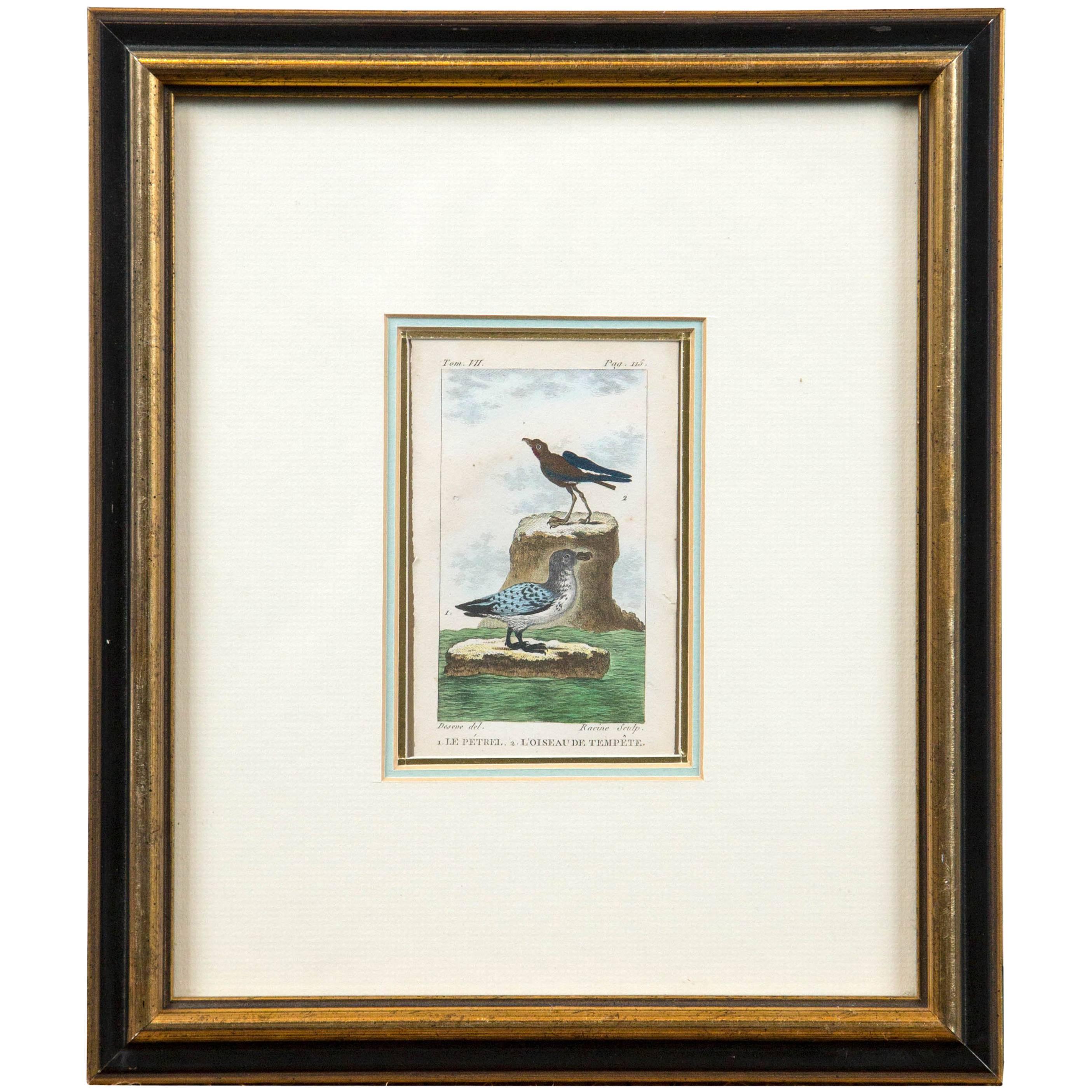
- Antique French Engraving of Birds, Paris, Late 18th CenturyBy François Nicolas MartinetLocated in Chappaqua, NYAntique French engraving of birds, Paris, late 18th century. From the Histoire Naturelle des Oiseaux published from 1770-1786. A hand-colored,...Category
Antique Late 18th Century French Prints
MaterialsPaper
- 18th Century Hand Colored Map of Spain and Portugal by VisscherBy Nicolaes Visscher IILocated in Alamo, CAThis is an early 18th century map of Spain and Portugal, with attractive original hand-coloring, entitled "Hispaniae et Portugalliae Regna per Nicolaum Visscher cum Privilegio Ordinu...Category
Antique Early 18th Century Dutch Maps
MaterialsPaper
- South America: Hand-colored 18th Century Framed Map by Thomas JefferysBy Thomas JefferysLocated in Alamo, CAThis detailed hand-colored map of South America by Thomas Jefferys was published in London in 1750. The map shows countries, early colonial possessions, towns, rivers, mountains, and...Category
Antique Mid-18th Century English Maps
MaterialsPaper
- Scandinavia & Portions of Eastern Europe: 18th Century Hand-Colored Homann MapBy Johann Baptist HomannLocated in Alamo, CAAn early 18th century hand-colored copper-plate map entitled "Regni Sueciae in omnes suas Subjacentes Provincias accurate divisi Tabula Generalis" by Johann Baptist Homann (1663-1724...Category
Antique Early 18th Century German Maps
MaterialsPaper