Items Similar to Chincha Islands Antique Lithograph 1865 – Map & Coastal Scene, Peru
Video Loading
Want more images or videos?
Request additional images or videos from the seller
1 of 11
Chincha Islands Antique Lithograph 1865 – Map & Coastal Scene, Peru
$644.17
£476.24
€540
CA$886.05
A$984.90
CHF 516.26
MX$12,027.99
NOK 6,445.24
SEK 6,063.77
DKK 4,111.01
About the Item
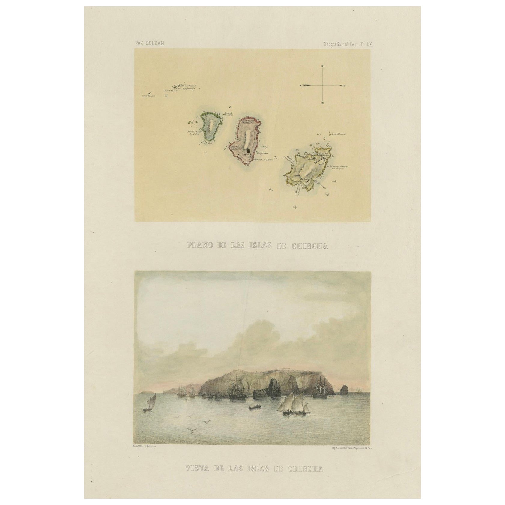
Antique lithograph map and view of the Chincha Islands, Peru – 1865
This lithograph sheet presents both a map (Plano de las Islas de Chincha) and a coastal view (Vista de las Islas de Chincha) of the famed Chincha Islands, located off the southern coast of Peru.
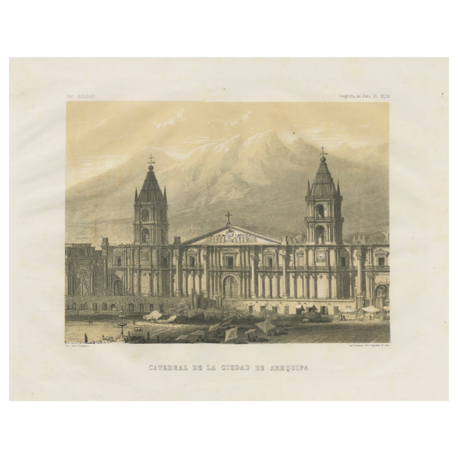
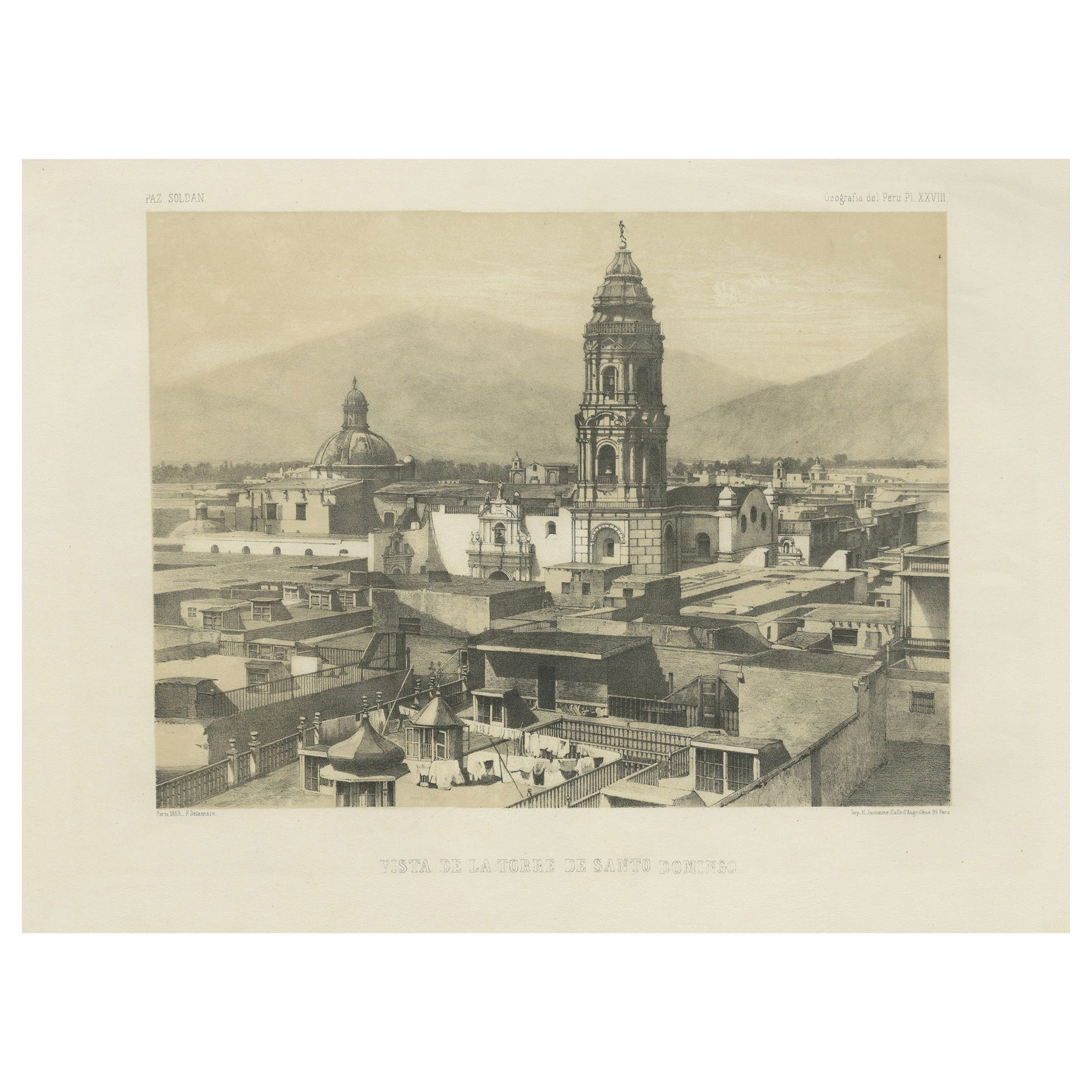
Issued in 1865 as part of Mariano Felipe Paz Soldán’s monumental Atlas Geográfico del Perú, this work was published in Paris by Lemercier and stands as the first comprehensive national atlas of Peru.
The upper image provides a detailed map of the Chincha archipelago, showing the three principal islands and their rocky formations, along with navigational notations. The lower image offers a dramatic seascape, with the islands rising steeply from the Pacific Ocean. Sailboats and larger vessels are depicted in the foreground, testifying to the busy maritime activity that surrounded these islands during the mid-19th century.
The Chincha Islands held extraordinary importance in this period due to their immense guano deposits, which were highly prized as fertilizer. The guano boom of the mid-19th century made Peru one of the world’s largest exporters of natural fertilizer, and revenues from this trade significantly influenced the nation’s economy and politics. By including both a plan and a view, Paz Soldán highlighted the dual significance of the Chinchas—as geographical features and as vital economic assets.
This plate offers not only a fine example of 19th-century lithographic artistry but also an important historical record of a resource that shaped Peru’s role in global trade. Collectors of Latin American history and maritime prints will find this a key addition to any collection.
Condition report:
Very good condition. Minor age toning in margins with a few small scattered foxing spots. Image areas clean with strong impressions. Plate mark visible, wide margins preserved.
Framing tips:
This sheet is ideally displayed in a vertical frame to showcase both the map and the coastal view. A cream or ivory mat will balance the sepia tones, while a dark wooden or black frame will provide contrast. A double mat with a fine inner border in deep blue could enhance the maritime theme.
Technique: Lithograph with tint stone
Maker: Mariano Felipe Paz Soldán, Paris, 1865
- Dimensions:Height: 20.24 in (51.4 cm)Width: 12.76 in (32.4 cm)Depth: 0.01 in (0.2 mm)
- Materials and Techniques:
- Place of Origin:
- Period:
- Date of Manufacture:circa 1865
- Condition:Very good condition. Minor age toning in margins with a few small scattered foxing spots. Image areas clean with strong impressions. Plate mark visible, wide margins preserved.
- Seller Location:Langweer, NL
- Reference Number:Seller: BG-14032-181stDibs: LU3054346484692
About the Seller
5.0
Recognized Seller
These prestigious sellers are industry leaders and represent the highest echelon for item quality and design.
Platinum Seller
Premium sellers with a 4.7+ rating and 24-hour response times
Established in 2009
1stDibs seller since 2017
2,607 sales on 1stDibs
Typical response time: <1 hour
- ShippingRetrieving quote...Shipping from: Langweer, Netherlands
- Return Policy
Authenticity Guarantee
In the unlikely event there’s an issue with an item’s authenticity, contact us within 1 year for a full refund. DetailsMoney-Back Guarantee
If your item is not as described, is damaged in transit, or does not arrive, contact us within 7 days for a full refund. Details24-Hour Cancellation
You have a 24-hour grace period in which to reconsider your purchase, with no questions asked.Vetted Professional Sellers
Our world-class sellers must adhere to strict standards for service and quality, maintaining the integrity of our listings.Price-Match Guarantee
If you find that a seller listed the same item for a lower price elsewhere, we’ll match it.Trusted Global Delivery
Our best-in-class carrier network provides specialized shipping options worldwide, including custom delivery.More From This Seller
View AllAntique Map of South Australia by A.K. Johnston, 1865
Located in Langweer, NL
Antique map titled 'South Australia, New South Wales, Victoria & Queensland'. This map originates from the ‘Royal Atlas of Modern Geography’ by Alexander Keith Johnston. Published by...
Category
Antique Mid-19th Century Maps
Materials
Paper

$286 Sale Price
20% Off
Antique Map of the Atlantic Islands, 1817
Located in Langweer, NL
Antique map titled 'Atlantic Islands'. Large map of the Atlantic Islands include the Cape Verde islands, Canary islands, Azore islands and Madeira islands. Also included a view of th...
Category
Antique Early 19th Century Maps
Materials
Paper

$429 Sale Price
20% Off
Original Antique Map of Peru in South America, 1875
Located in Langweer, NL
Antique map titled 'Carte générale du Pérou'. Large map of Peru. This map originates from 'Atlas de Géographie Moderne Physique et Politique' by A. Levasse...
Category
Antique Late 19th Century Maps
Materials
Paper
$334 Sale Price
20% Off
Antique Map of Peru and Bolivia by W. G. Blackie, 1859
Located in Langweer, NL
Antique map titled 'Peru and Bolivia'. Original antique map of Peru and Bolivia. This map originates from ‘The Imperial Atlas of Modern Geography’. Publish...
Category
Antique Mid-19th Century Maps
Materials
Paper
$238 Sale Price
20% Off
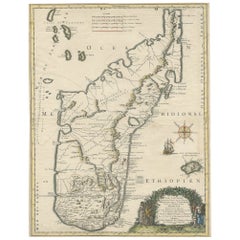
Beautiful Antique Map of Madagascar, The Comoros Islands & Reunion Island, 1667
Located in Langweer, NL
Antique map titled 'Isle d'Auphine, communement Nommée par les Europeens Madagascar, et St. Laurens, et par les Habitans du pays Madecase'.
Beautiful map of Madagascar...
Category
Antique 1660s Maps
Materials
Paper
$868 Sale Price
20% Off
Antique Map of South-West Russia by A.K. Johnston, 1865
Located in Langweer, NL
Antique map titled 'South-West Russia showing the extent of the Kingdom of Poland previous to its partition in 1772'. This map originates from the ‘Royal Atlas of Modern Geography’ b...
Category
Antique Mid-19th Century Maps
Materials
Paper

$238 Sale Price
20% Off
You May Also Like
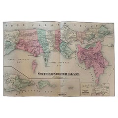
Antique Map Long Island, Southold, Shelter Island, Orient, New York
By Beers Atlas Co.
Located in Sag Harbor, NY
Antique map of Long Island, Southold, Shelter Island, Orient, Great details, Names of homes, Roads and Businesses in 1870. Unframed. This is...
Category
Antique Mid-19th Century American Early Victorian Prints
Materials
Paper
$1,180 Sale Price
20% Off
Free Shipping
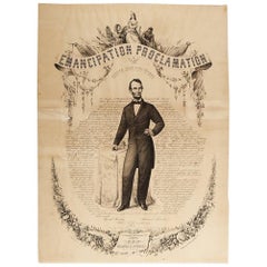
1865 Emancipation Proclamation, Antique Lithograph by P.S. Duval and Son
Located in Colorado Springs, CO
Presented is a lithographic broadside of the text of the Emancipation Proclamation issued on January 1, 1863. This broadside was published in...
Category
Antique 1860s American Historical Memorabilia
Materials
Paper
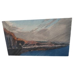
Coastal Landscape Lithograph by Lyman
Located in Pasadena, TX
This is a framed lithograph by Lyman of a coastal landscape. The colors are and the condition is good. It's framed behind glass. It's signed and numbered.
Image size is 12 x 7
Fram...
Category
Vintage 1980s American Modern Prints
Materials
Paper
Coastal Scene by Lyman signed and numbered
Located in Pasadena, TX
This lithograph by Lyman is signed and numbered. It depicts a coastal scene from a drawing. The colors are pristine and vibrant.
It's signed Lyman '88 lower right.
It's numbered 19...
Category
Vintage 1980s American Modern Prints
Materials
Paper
Puerto Rico 1910 Original Antique Map Of The Island In A Period Wood Frame
Located in Miami, FL
An antique framed map of Puerto Rico.
Very nice antique map of Puerto Rico printed in a folio of two pages. This map was printed in thin pa...
Category
Antique Early 1900s Puerto Rican American Classical Prints
Materials
Glass, Wood, Paper
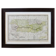
$488 Sale Price
30% Off
French Country Scene Lithograph Signed
By Henri Martin
Located in Miami, FL
A beautiful and colorful lithograph that would enhance any space.
Professionally framed and signed.
This very good quality colorful lithograph of a French countryside will enhance...
Category
20th Century French Prints
Materials
Paper
$760 Sale Price
20% Off