
German Historical Map in Full Color Spanning, 1815-1918
View Similar Items

Want more images or videos?
Request additional images or videos from the seller
1 of 9
German Historical Map in Full Color Spanning, 1815-1918
About the Item
- Dimensions:Height: 66 in (167.64 cm)Width: 82 in (208.28 cm)Depth: 1 in (2.54 cm)
- Materials and Techniques:
- Place of Origin:
- Period:
- Date of Manufacture:Mid-20th Century
- Condition:Wear consistent with age and use. Condition is actually very good, except for a few minor tears at the left and right edges.
- Seller Location:Los Angeles, CA
- Reference Number:1stDibs: f99251701276498913fs
About the Seller
No Reviews Yet
Vetted Seller
These experienced sellers undergo a comprehensive evaluation by our team of in-house experts.
1stDibs seller since 2013
30 sales on 1stDibs
More From This SellerView All
- Large Bronze Architectural Plaque from New York CityLocated in Los Angeles, CAFrom the National American Building, formerly located at 340 Madison Avenue, New York City. This building was constructed in 1927 and was designed by the renowned architect Joseph H....Category
Early 20th Century American Neoclassical Revival Architectural Elements
MaterialsBronze
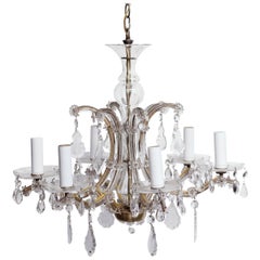
- 1940s Petite Six-Arm Marie Therese Chandelier CrystalsLocated in Los Angeles, CAClear crystal Marie Therese style chandelier with six arms from the 1940s. Please note, this item is located in our Los Angeles location.Category
Vintage 1940s American Chandeliers and Pendants
MaterialsCrystal
- Wrought Iron Frosted Glass 4 Light Floral ChandelierLocated in Los Angeles, CAWrought iron and frosted glass four light floral motif chandelier. Centre bowl is not lit. Please note, this item is located in our Los Angele...Category
20th Century Unknown Chandeliers and Pendants
MaterialsWrought Iron, Iron

You May Also Like
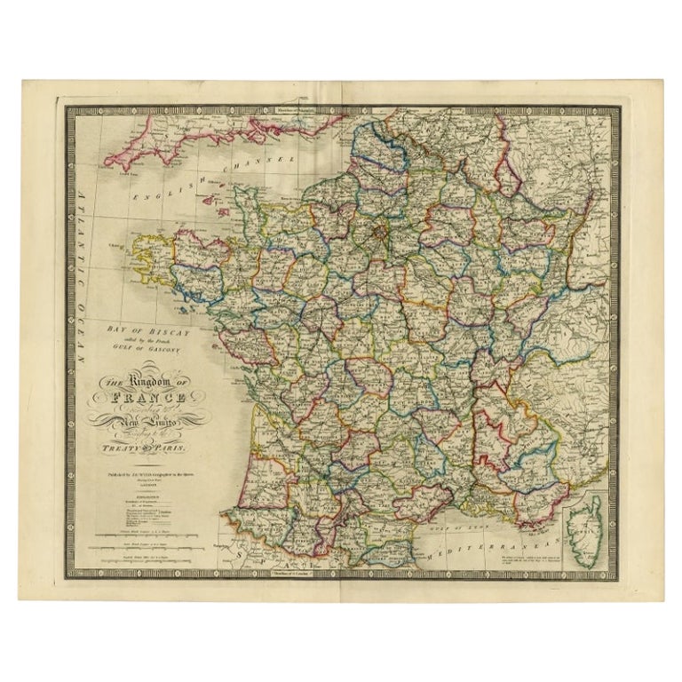
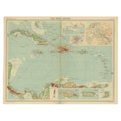
- Antique Map of the West Indies in Full Color, 1922Located in Langweer, NLAntique map titled 'The West Indies.' A map of the West Indies, the Carribean region. This includes the Greater Antilles (Jamaica, Haiti, Puerto Rico and Cuba) and the Lesser Antille...Category
20th Century Maps
MaterialsPaper
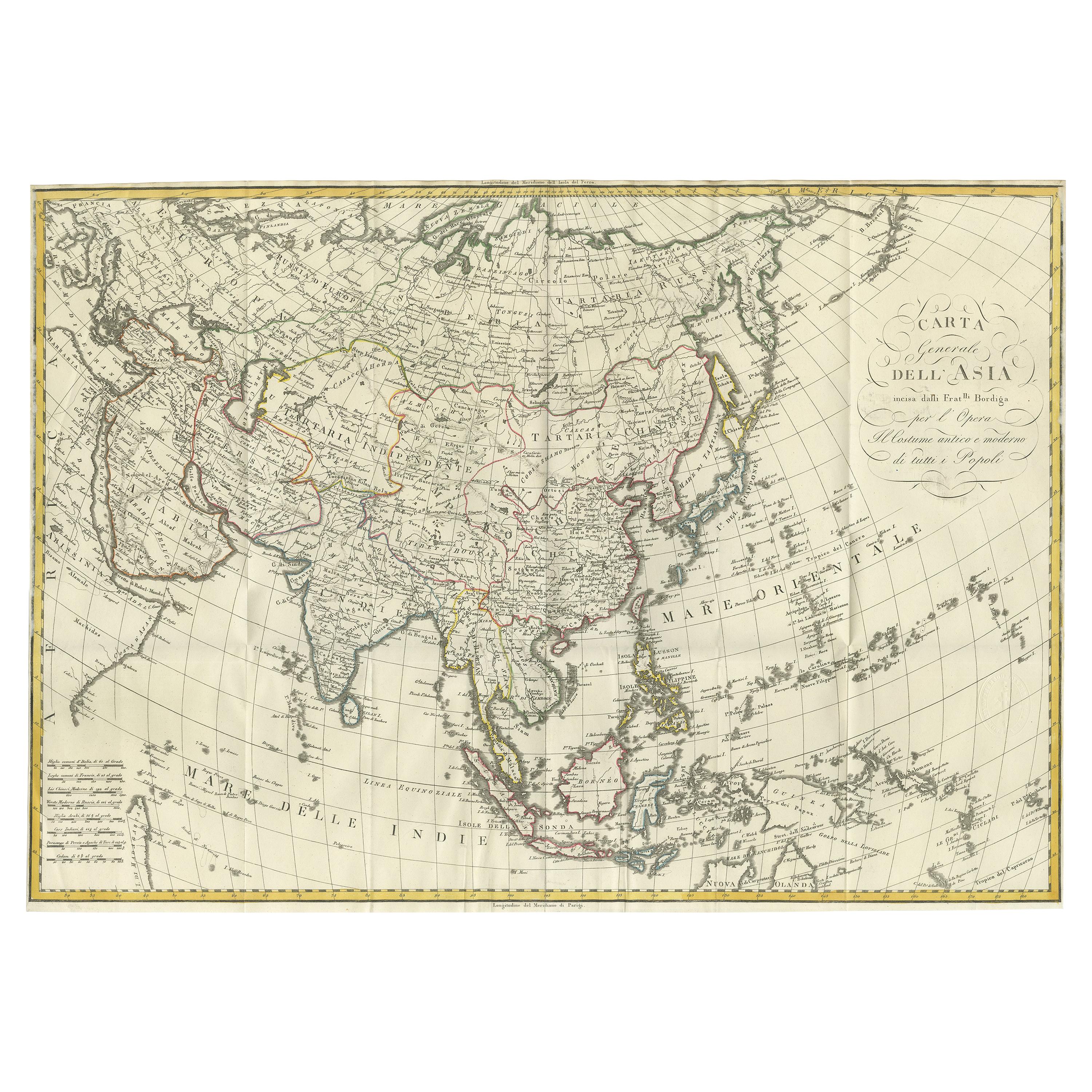
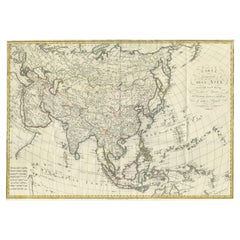
- Antique Map of Asia by Ferrario '1815'Located in Langweer, NLAntique map titled 'Carta generale dell' Asia (..)'. Original antique map of Asia. This map originates from ' Le Costume Ancien et Moderne' by Jule...Category
Antique Early 19th Century Maps
MaterialsPaper
 $835 Sale Price20% Off
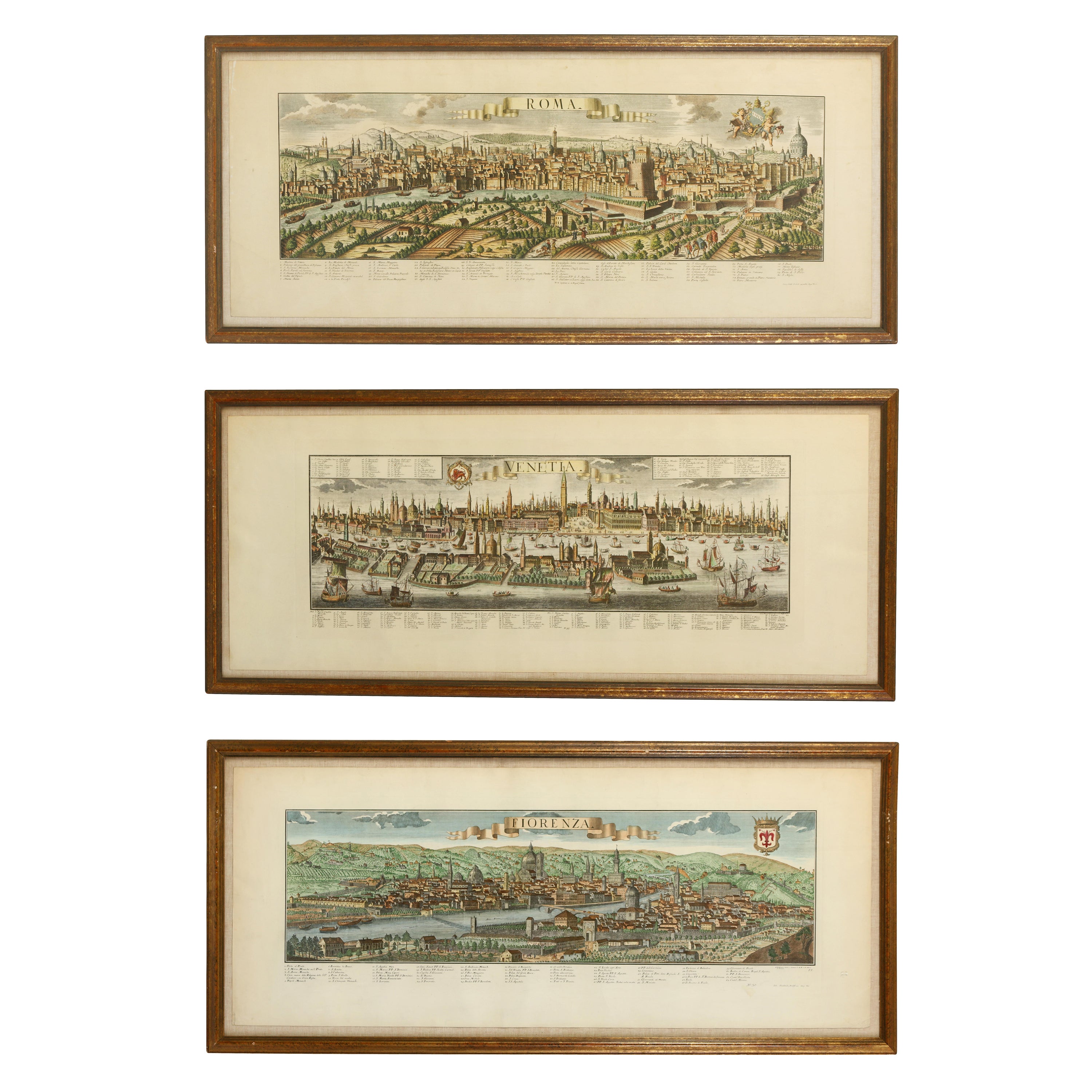
 - A Series of Historical Maps of Italian CitiesLocated in New York, NYVintage maps can add so much interest to a space and this group of Italian maps is particularly interesting. Each is a charming reinterpretation of historical city maps (Rome, Venic...Category
20th Century Italian Prints
MaterialsPaper
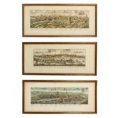 $1,200 / item
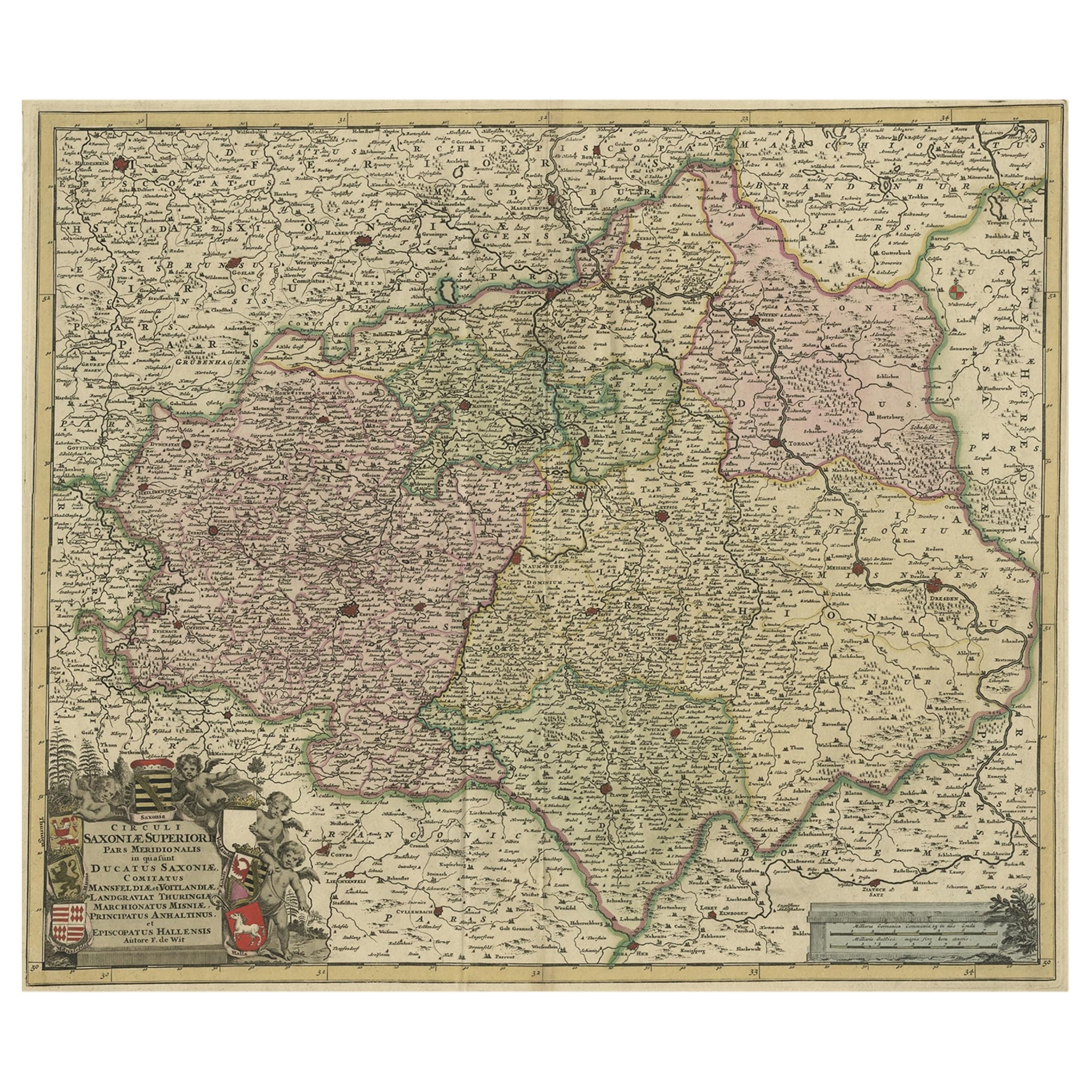
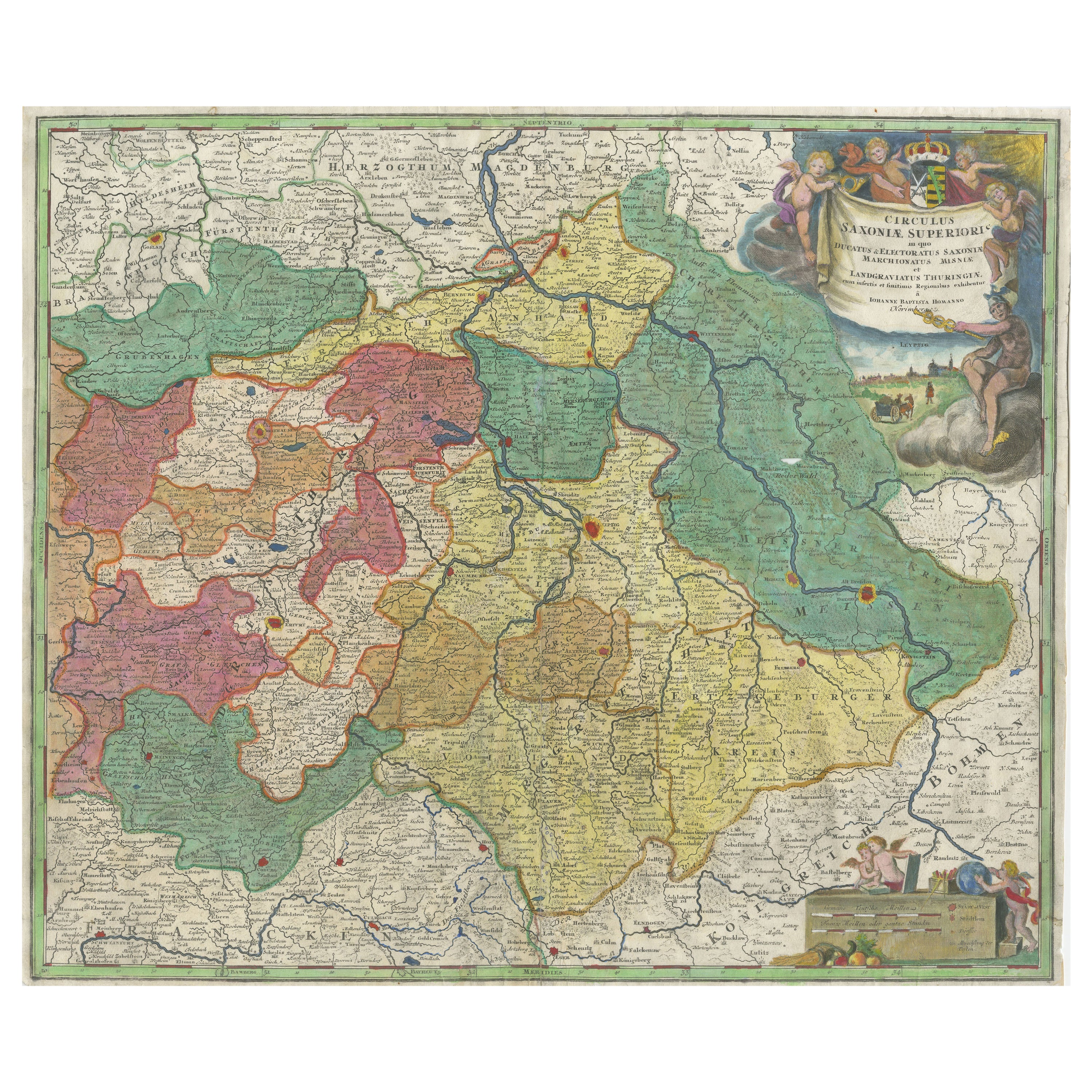
 - Old Detailed Map of the Historical Regions of the Duchy of Saxony, Germany, 1680Located in Langweer, NLAntique map titled 'Circuli Saxoniae Superior Pars Meridionalis in qua sunt Ducatus Saxoniae, Comitatus Mansfeldiae, et Voitlandiae, Landgraviat Thuringiae, Marchionatus Misniae Prin...Category
Antique 1680s Maps
MaterialsPaper
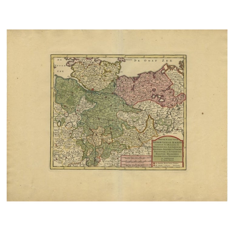
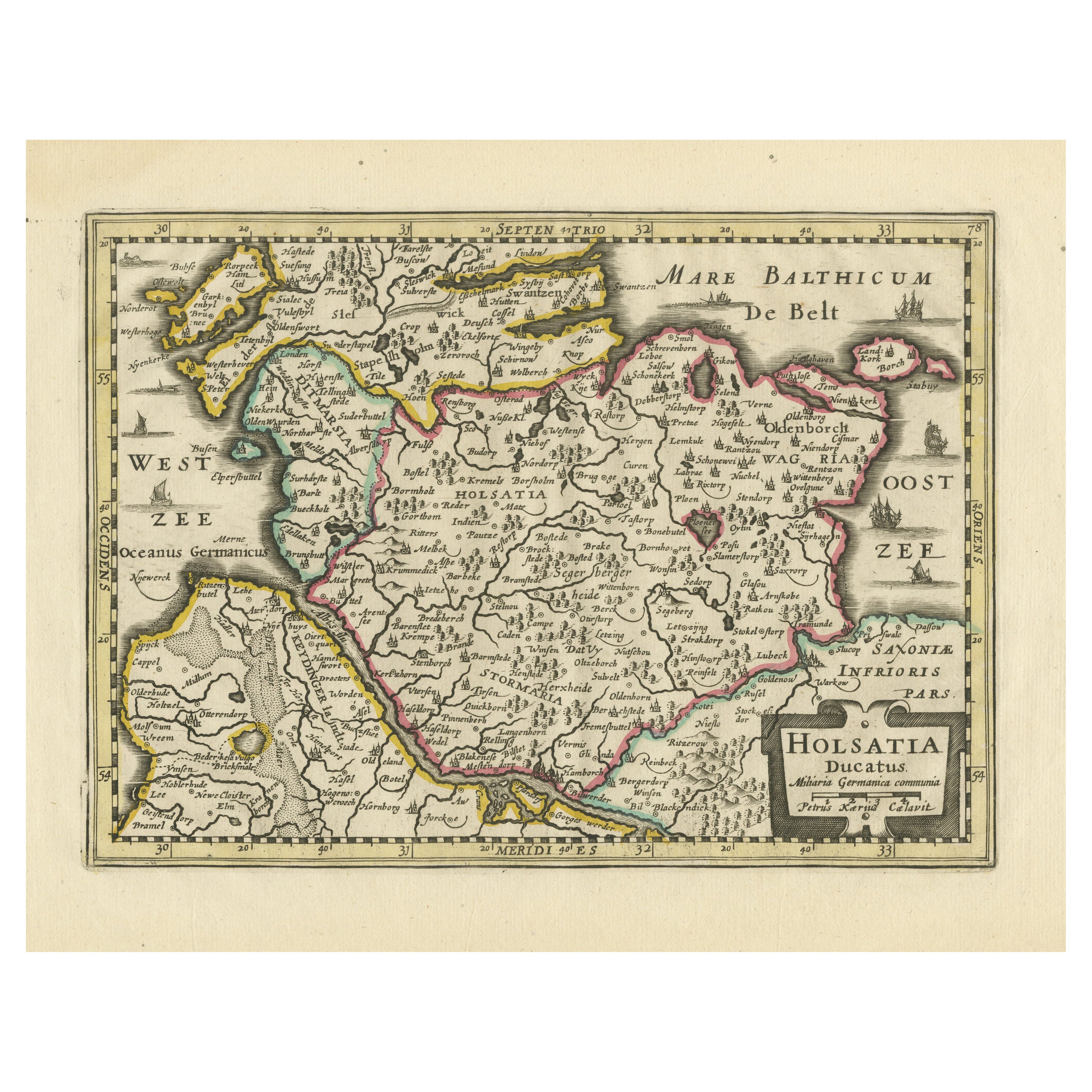
- Antique Map of Lower Saxony in Germany, c.1740Located in Langweer, NLAntique map titled 'Nieuwe Kaart van de Neder Saxise Kreits (..).' Attractive detailed map showing Lower Saxony, Germany, including Mekelenburg, Lauwenburg, Holstein, Bremen, Verden ...Category
Antique 18th Century Maps
MaterialsPaper
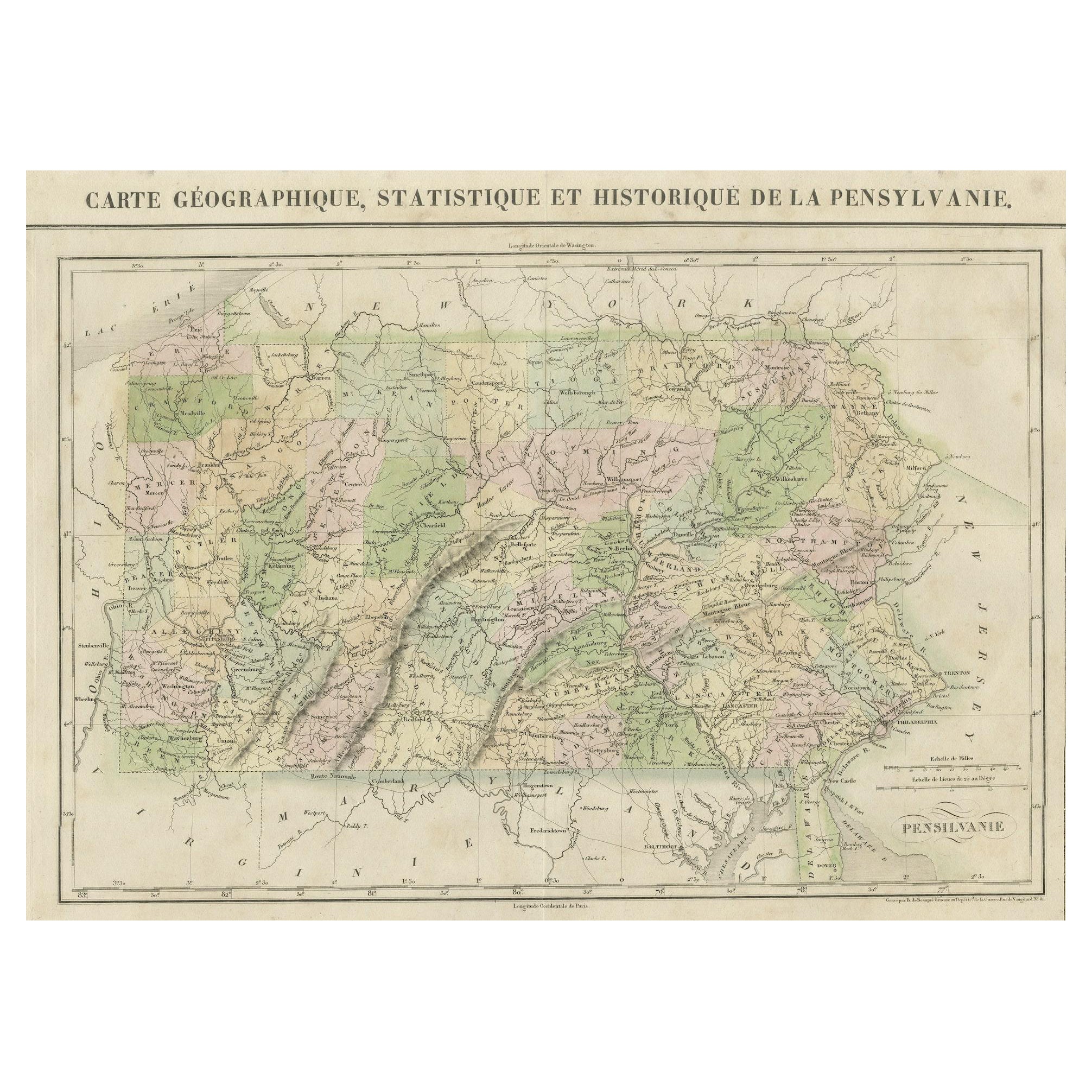
- French Geographical, Statistical and Historical Map of Pensylvania, 1825Located in Langweer, NLTitle: Carte geographique, statistique et historique de la Pensylvanie. Beautiful Hand-Colored 1825 French Map of Pennsylvania, with a List of Prominent Rivers, Descriptions of Mountains, Climate and Government as well as a list of Colonial and post-American Revolution Governors Produced by: J. Carez in Paris. (1825) Hand colored engraved map. Relief shown by hachures. Text and tables at sides and bottom. Prime meridians: Washington and Paris. A very interesting 1825 French hand-colored map of Pennsylvania from Lucas' 1822 map, which breaks down county populations by Whites and Free Blacks. "Carte Geographique, Statistique et Historique de la Pensylvanie" Originally published in 1822 by Carey and Lea and then revised and republished in 1825 by J. A. C. Buchon (1791-1846 ) in a French edition entitled Atlas Geographique des Deux Ameriques, printed by J. Carez. Fielding Lucas, Jr. (1781-1854), a Baltimore mapmaker and publisher, drew the map. original hand-coloring. Shown on the map are parts of Maryland, Delaware, New York and New jersey. Printed on the same page as the map is geographical, statistical, and historical information about Pennsylvania, such as descriptions of the state's important rivers, a list of Governors since its founding as well as important French and Indian...Category
Antique 1820s Maps
MaterialsPaper
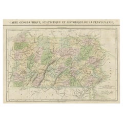 $422 Sale Price20% Off
Recently Viewed
View AllMore Ways To Browse
Tiffany Studios Art Glass
Gold Display Case
Collectors Drawers
Danish Mid Century Glass Cabinet
Vanity Hand Mirror
19th Century English Walnut Cabinet
Office Chair With Casters
Antique Gold Tie
French Walnut Cabinet Pair
Antique Pine Wood Doors
Set Of 2 Doors
Traditional Dining Room Table Set
French Ormolu Marble Chest
Demilune Cabinets
Used Curio
Antique Outdoor Garden Furniture
Chinese Cabinet Glass Door
Mahogany Dress