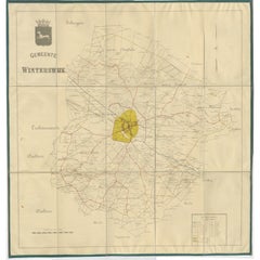
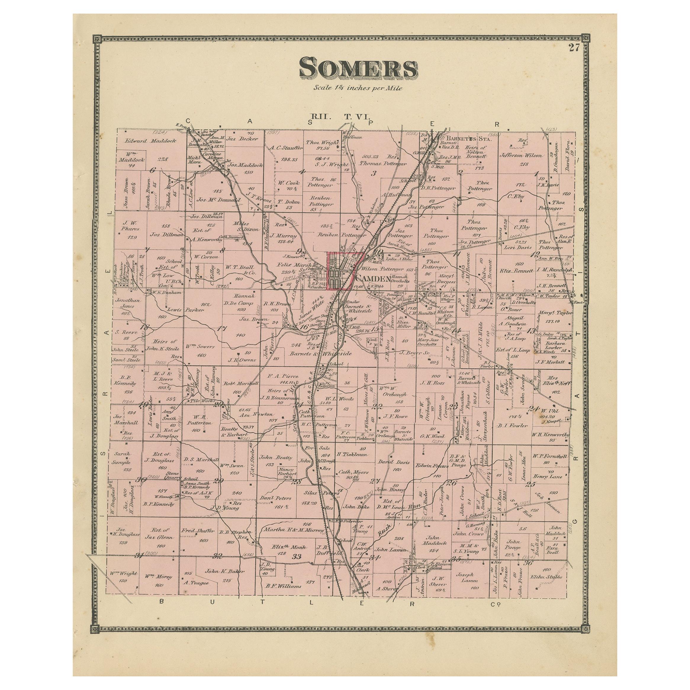
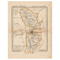
Large Antique Folding Map of the Township of Winterswijk, The Netherlands, c1920
View Similar Items


Want more images or videos?
Request additional images or videos from the seller
1 of 5
Large Antique Folding Map of the Township of Winterswijk, The Netherlands, c1920
About the Item
- Dimensions:Height: 29.14 in (74 cm)Width: 28.35 in (72 cm)Depth: 0 in (0.01 mm)
- Materials and Techniques:
- Period:
- Date of Manufacture:circa 1920
- Condition:
- Seller Location:Langweer, NL
- Reference Number:Seller: BV-00811stDibs: LU3054325991502
About the Seller
5.0
Platinum Seller
These expertly vetted sellers are 1stDibs' most experienced sellers and are rated highest by our customers.
Established in 2009
1stDibs seller since 2017
1,938 sales on 1stDibs
More From This SellerView All
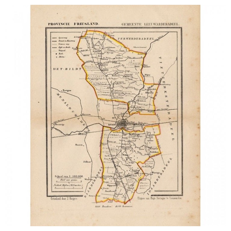
- Antique Map of Leeuwarderadeel, Township in Friesland, The Netherlands, 1868Located in Langweer, NLAntique map titled 'Provincie Friesland - Gemeente Leeuwarderadeel'. Map of the township of Leeuwarderadeel including Leeuwarden, Wirdum, Stiens and many other villages. This map ori...Category
Antique 19th Century Maps
MaterialsPaper
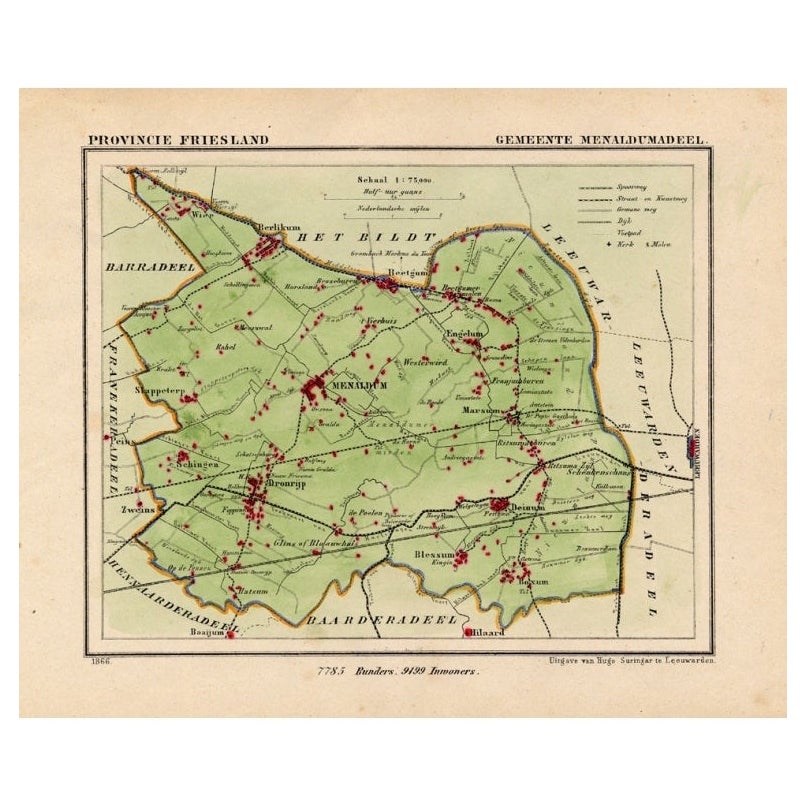
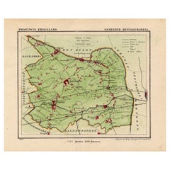
- Antique Map of Menaldumadeel, Township in Friesland, The Netherlands, 1868Located in Langweer, NLAntique map titled 'Provincie Friesland - Gemeente Menaldumadeel'. Map of the township of Menaldumadeel including Menaldum, Deinum, Boxum and many other villages. This map originat...Category
Antique 19th Century Maps
MaterialsPaper
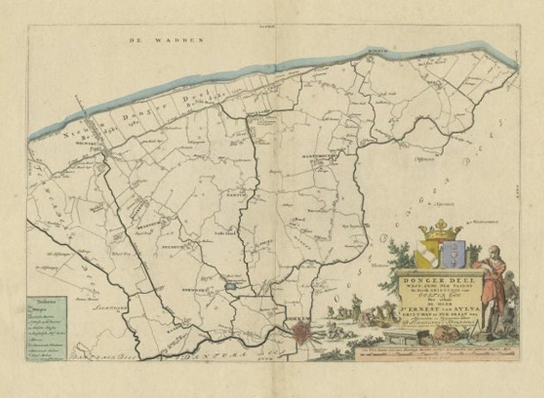
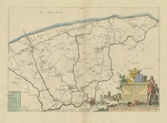
- Antique Map of the Dongeradeel Township in Friesland, The Netherlands, 1718Located in Langweer, NLAntique map Friesland titled 'Donger Deel West Zyde der Pasens (..)'. Old map of Friesland, the Netherlands. This map depicts the region of Dongeradeel and includes cities and villag...Category
Antique 18th Century Maps
MaterialsPaper
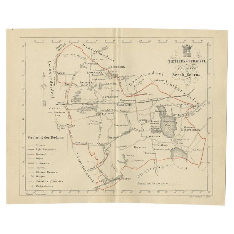
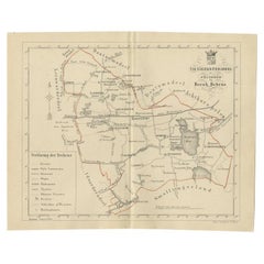
- Antique Map of the Frisian Tietjerksteradeel Township in the Netherlands, 1861Located in Langweer, NLAntique map titled 'Gemeente Tietjerksteradeel'. Old map depicting the Tietjerksteradeel township including cities and villages like Wijns, Oenkerk, Rijperkerk, Hardegarijp, Tietjerk...Category
Antique 19th Century Maps
MaterialsPaper
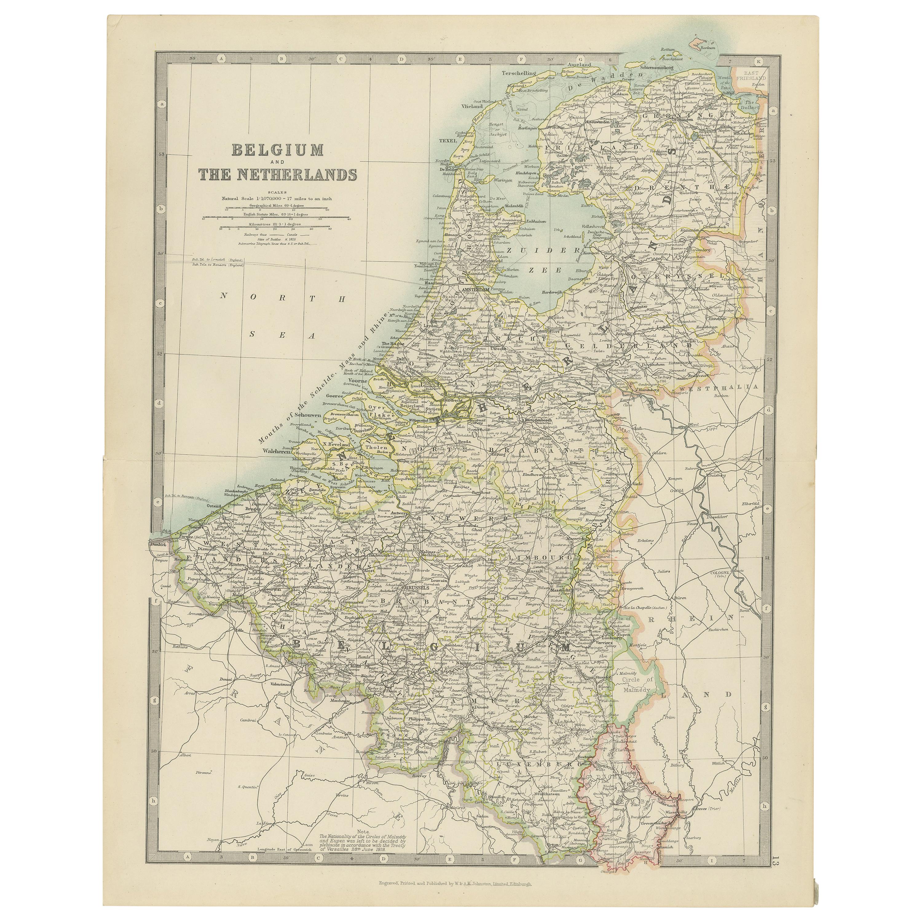
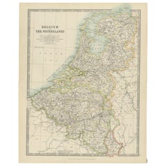
- Antique Map of Belgium and the Netherlands by Johnston 'c.1920'Located in Langweer, NLAntique map titled 'Belgium and the Netherlands'. Original antique map of Belgium and the Netherlands. Published by W. & A.K. Johnston, circa 1920.Category
20th Century Maps
MaterialsPaper
 $131 Sale Price40% Off
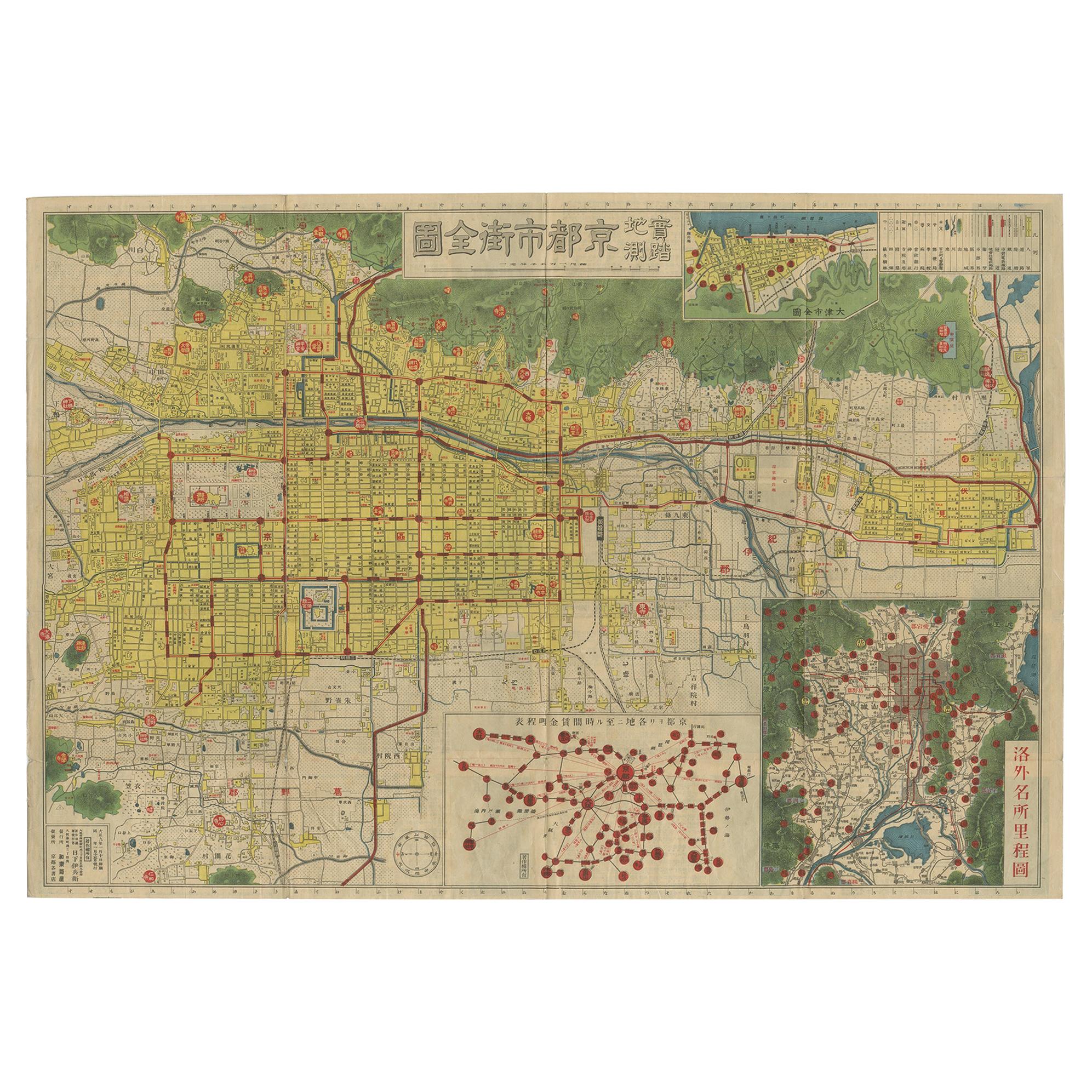
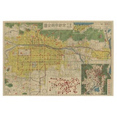
 - Antique Folding Map of Kyoto, Japan, 1920Located in Langweer, NLAntique folding map of Kyoto, Japan. On the verso of this map photos of buildings, other structures and informative text can be found.Category
20th Century Maps
MaterialsPaper
You May Also Like
- Original Antique Map of The Netherlands, Engraved by Barlow, Dated 1807Located in St Annes, LancashireGreat map of Netherlands Copper-plate engraving by Barlow Published by Brightly & Kinnersly, Bungay, Suffolk. Dated 1807 Unframed.Category
Antique Early 1800s English Maps
MaterialsPaper
- Original Antique Map of The Netherlands, Sherwood, Neely & Jones, Dated 1809Located in St Annes, LancashireGreat map of The Netherlands Copper-plate engraving by Cooper Published by Sherwood, Neely & Jones. Dated 1809 Unframed.Category
Antique Early 1800s English Maps
MaterialsPaper
- Large Antique 1859 Map of North AmericaLocated in Sag Harbor, NYThis Map was made by Augustus Mitchell in 1859 It is in amazing condition for being 163 years old. This price is for the rolled up easy to ship version of this piece. I will be Frami...Category
Antique Mid-19th Century American Maps
MaterialsCanvas, Paper

- Map of the Republic of GenoaLocated in New York, NYFramed antique hand-coloured map of the Republic of Genoa including the duchies of Mantua, Modena, and Parma. Europe, late 18th century. Dimension: 25...Category
Antique Late 18th Century European Maps
- Antique Map of Principality of MonacoBy Antonio Vallardi EditoreLocated in Alessandria, PiemonteST/619 - "Old Geographical Atlas of Italy - Topographic map of ex-Principality of Monaco" - ediz Vallardi - Milano - A somewhat special edition ---Category
Antique Late 19th Century Italian Other Prints
MaterialsPaper
 $228 Sale Price74% Off
 - Antique 18th Century Map of the Province of Pensilvania 'Pennsylvania State'Located in Philadelphia, PAA fine antique of the colony of Pennsylvania. Noted at the top of the sheet as a 'Map of the province of Pensilvania'. This undated and anonymous map is thought to be from the Gentleman's Magazine, London, circa 1775, although the general appearance could date it to the 1760's. The southern boundary reflects the Mason-Dixon survey (1768), the western boundary is placed just west of Pittsburgh, and the northern boundary is not marked. The map has a number of reference points that likely refer to companion text and appear to be connected to boundaries. The western and southern boundaries are marked Q, R, S, for example. A diagonal line runs from the Susquehanna R to the Lake Erie P. A broken line marked by many letters A, B, N, O, etc., appears in the east. There are no latitude or longitude markings, blank verso. Framed in a shaped contemporary gilt wooden frame and matted under a cream colored matte. Bearing an old Graham Arader Gallery...Category
Antique 18th Century British American Colonial Maps
MaterialsPaper


Recently Viewed
View AllMore Ways To Browse
Size 65
Vintage Canvas Map
Vintage Folded Map
Wool Tapestry Modern
Corner Cabinets With Glass
French Modern Wall Sculpture
Fox Vintage
All Tapestries
Antique Cabinet Ornate
Hook Ring
Midcentury Modern Tapestry
Locking Display Case
Painted European Cabinet
Ornate Antique Cabinet
Tapestry Weaving
Turquoise C
Retro Wall Cabinet With Doors
Display Case Lock