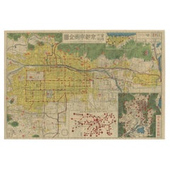
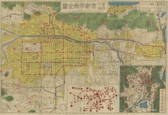
Antique Folding Map of Kyoto, Japan, 1920
Located in Langweer, NL
Antique folding map of Kyoto, Japan. On the verso of this map photos of buildings, other structures and informative text can be found.
Category
20th Century Vintage Folded Map
Materials
Paper


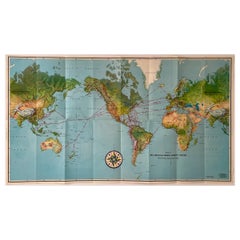
![[World War Two map] - Dunkirk to Berlin June 1940.](https://a.1stdibscdn.com/a_14192/a_122803621683893882824/108529_master.jpg?width=240)
![[World War Two map] - Dunkirk to Berlin June 1940.](https://a.1stdibscdn.com/a_14192/a_122803621683893894874/108529_2_master.jpg?width=240)