Items Similar to Maps of the Ancient World and the Posterity of Noah, 1820

Want more images or videos?
Request additional images or videos from the seller
1 of 5
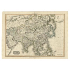
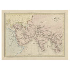
Maps of the Ancient World and the Posterity of Noah, 1820
$239.43
$299.2920% Off
£176.62
£220.7820% Off
€200
€25020% Off
CA$331.75
CA$414.6920% Off
A$360
A$45020% Off
CHF 190.77
CHF 238.4620% Off
MX$4,415.20
MX$5,519.0120% Off
NOK 2,360.73
NOK 2,950.9220% Off
SEK 2,230.77
SEK 2,788.4620% Off
DKK 1,522.96
DKK 1,903.7020% Off
About the Item
Two maps on one sheet. Hhand colored engraved lithograph, depicting the world as known to the Ancients on Mercator's projection and the Posterity of Noah. The first showns the Empires of Ninus and Semaris, Sesostria, Nebuchadnezar, Cyrus, Alexander and Augustus. The second shows the diffusion of Noah's sons, etc. Detailed text explanation below. From a Philadelphia edition of Lavoisne's Atlas.
Artists and Engravers: Published by M. Carey & Son, Philadelphia.
We also offer thousands of antique prints covering fields of interest as diverse as architecture, natural history, religion, ethnology and many more. Antique prints have long been appreciated for both their aesthetic and investment value. They were the product of engraved, etched or lithographed plates. These plates were handmade out of wood or metal, which required an incredible level of skill, patience and craftsmanship. Whether you have a house with Victorian furniture or more contemporary decor an old engraving can enhance your living space.
- Dimensions:Height: 17.33 in (44 cm)Width: 21.86 in (55.5 cm)Depth: 0 in (0.01 mm)
- Materials and Techniques:
- Period:
- Date of Manufacture:circa 1820
- Condition:Condition: Fair, mounted to linen. Toning, some stains and defects, please study image carefully.
- Seller Location:Langweer, NL
- Reference Number:Seller: BG-008641stDibs: LU3054326141732
About the Seller
5.0
Recognized Seller
These prestigious sellers are industry leaders and represent the highest echelon for item quality and design.
Platinum Seller
Premium sellers with a 4.7+ rating and 24-hour response times
Established in 2009
1stDibs seller since 2017
2,622 sales on 1stDibs
Typical response time: <1 hour
- ShippingRetrieving quote...Shipping from: Langweer, Netherlands
- Return Policy
Authenticity Guarantee
In the unlikely event there’s an issue with an item’s authenticity, contact us within 1 year for a full refund. DetailsMoney-Back Guarantee
If your item is not as described, is damaged in transit, or does not arrive, contact us within 7 days for a full refund. Details24-Hour Cancellation
You have a 24-hour grace period in which to reconsider your purchase, with no questions asked.Vetted Professional Sellers
Our world-class sellers must adhere to strict standards for service and quality, maintaining the integrity of our listings.Price-Match Guarantee
If you find that a seller listed the same item for a lower price elsewhere, we’ll match it.Trusted Global Delivery
Our best-in-class carrier network provides specialized shipping options worldwide, including custom delivery.More From This Seller
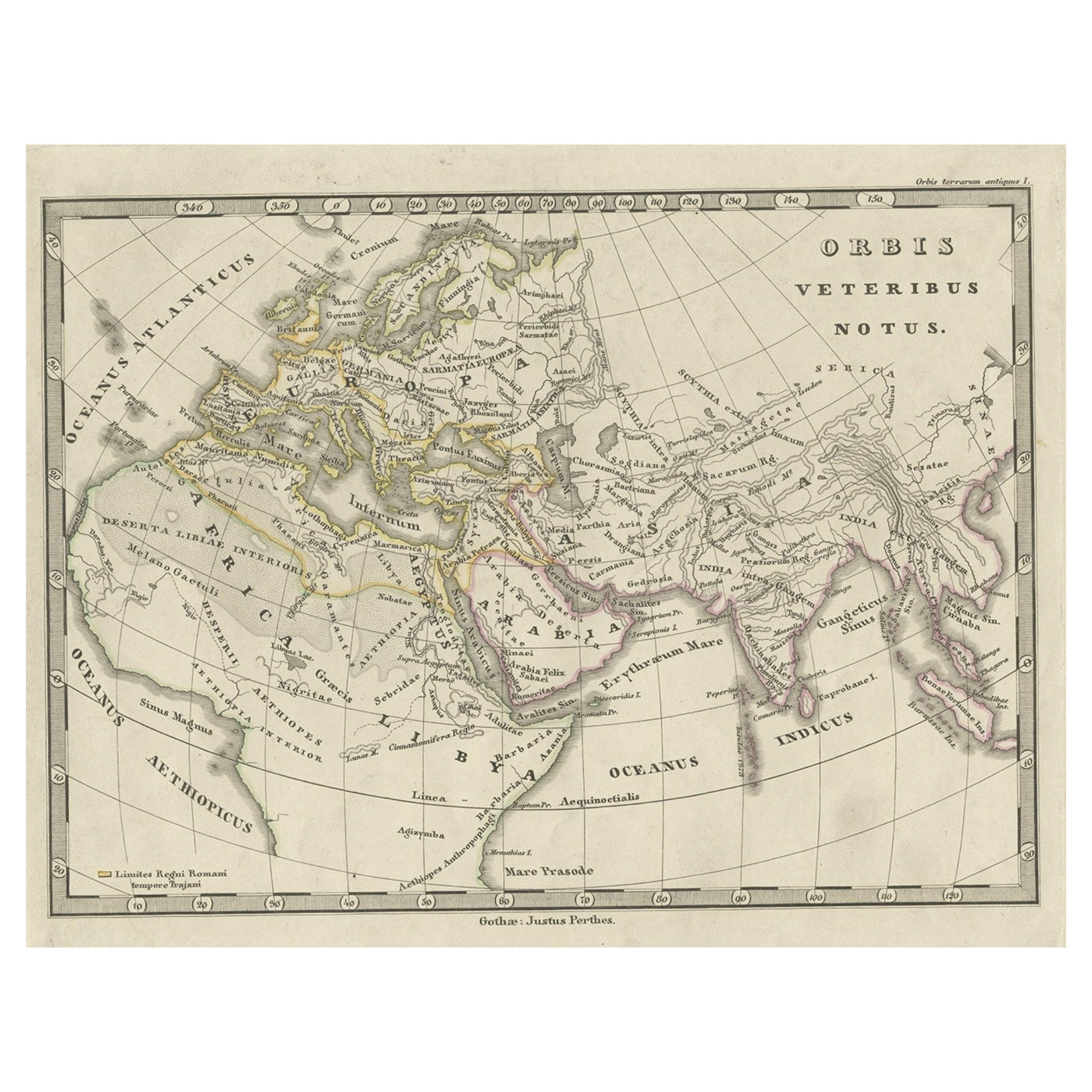
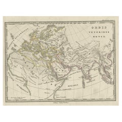
View AllAntique Map of Europe and Part of Asia and Africa, 1848
Located in Langweer, NL
Antique map titled 'Orbis Veteribus Notus'. Old map of the European continent, also depicting a portion of Asia and Africa. Originating from 'Orbis Terrarum Antiquus in usum Scholaru...
Category
Antique 19th Century Maps
Materials
Paper
$94 Sale Price
20% Off
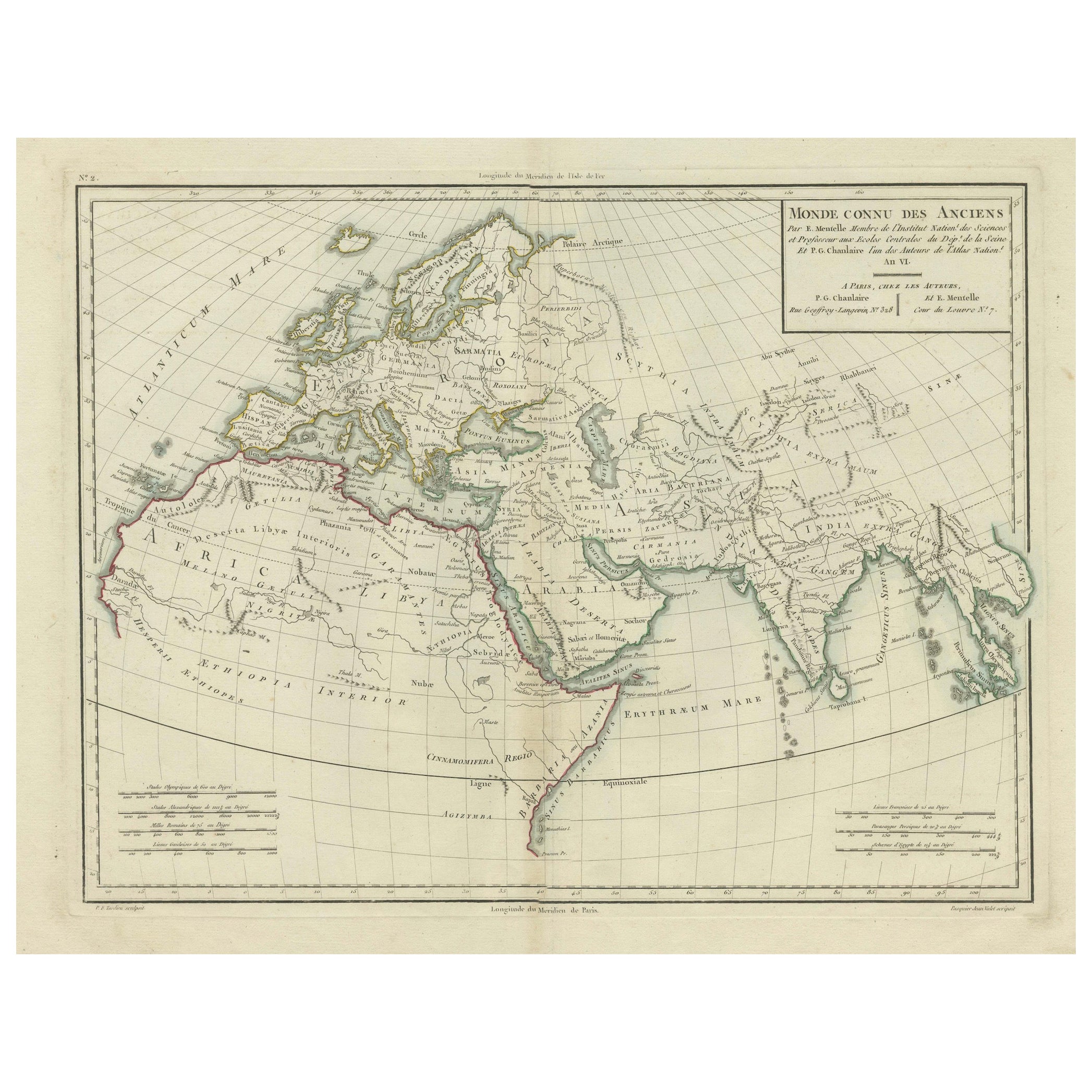
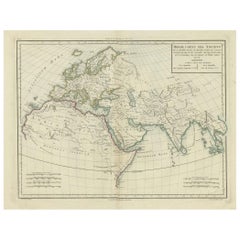
Ancient World Map: Europe, Africa & Asia - 1802 Tardieu Atlas
Located in Langweer, NL
Antique Map Description with title: "Monde Connu Des Anciens"
Publication Details:
- Atlas Title: Nouvel Atlas Universel de Géographie Ancienne et Moderne
- Purpose: For the Nouvel...
Category
Antique Early 1800s Maps
Materials
Paper
$421 Sale Price
20% Off
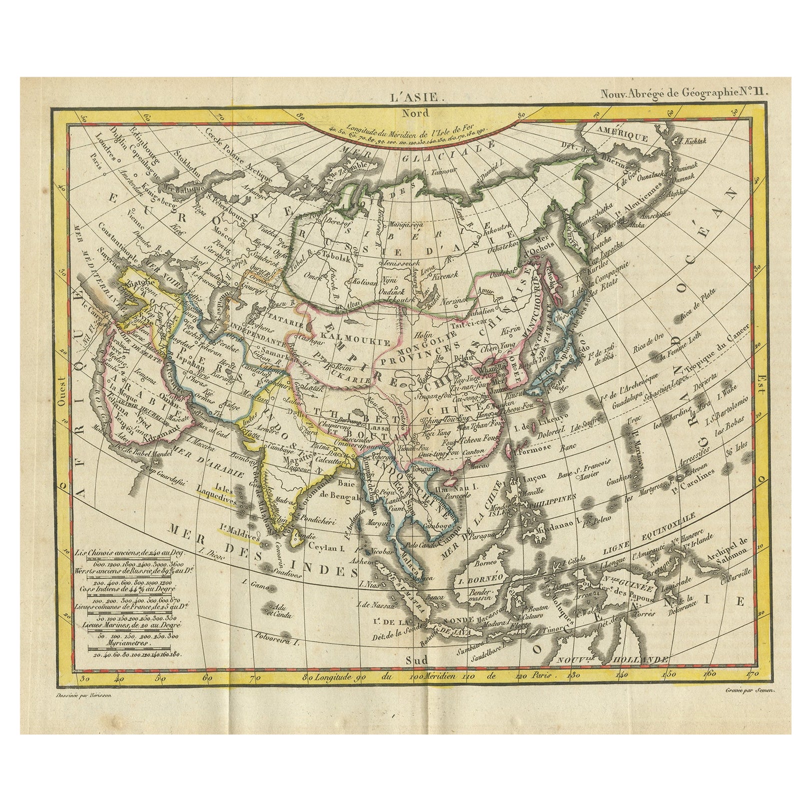
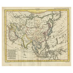
Antique Map of Asia from the Middle East to the Coast of Alaska, 1816
Located in Langweer, NL
Antique map titled ‘L’Asie‘. This is an original antique map of Asia, by Hérisson, taken from atlas ""Nouv. Abrége de Géographie"". An engraved map with coloring of Asia from the Mid...
Category
Antique 19th Century Maps
Materials
Paper
$153 Sale Price
20% Off
Antique Map of the World by Ferrario '1831'
Located in Langweer, NL
Original antique map of the world. This print originates from 'Costume Antico e Moderno: Palestine, China, India, Oceania' by Ferrario. Publis...
Category
Antique Mid-19th Century Prints
Materials
Paper

$191 Sale Price
20% Off
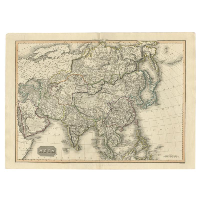
Large Antique Map of the Asian Continent, 1814
Located in Langweer, NL
Antique map titled 'Asia'. Large antique map of the Asian continent. Drawn under the direction of Mr. Pinkerton by L. Hebert.
Artists and Engraver...
Category
Antique 19th Century Maps
Materials
Paper
$430 Sale Price
20% Off
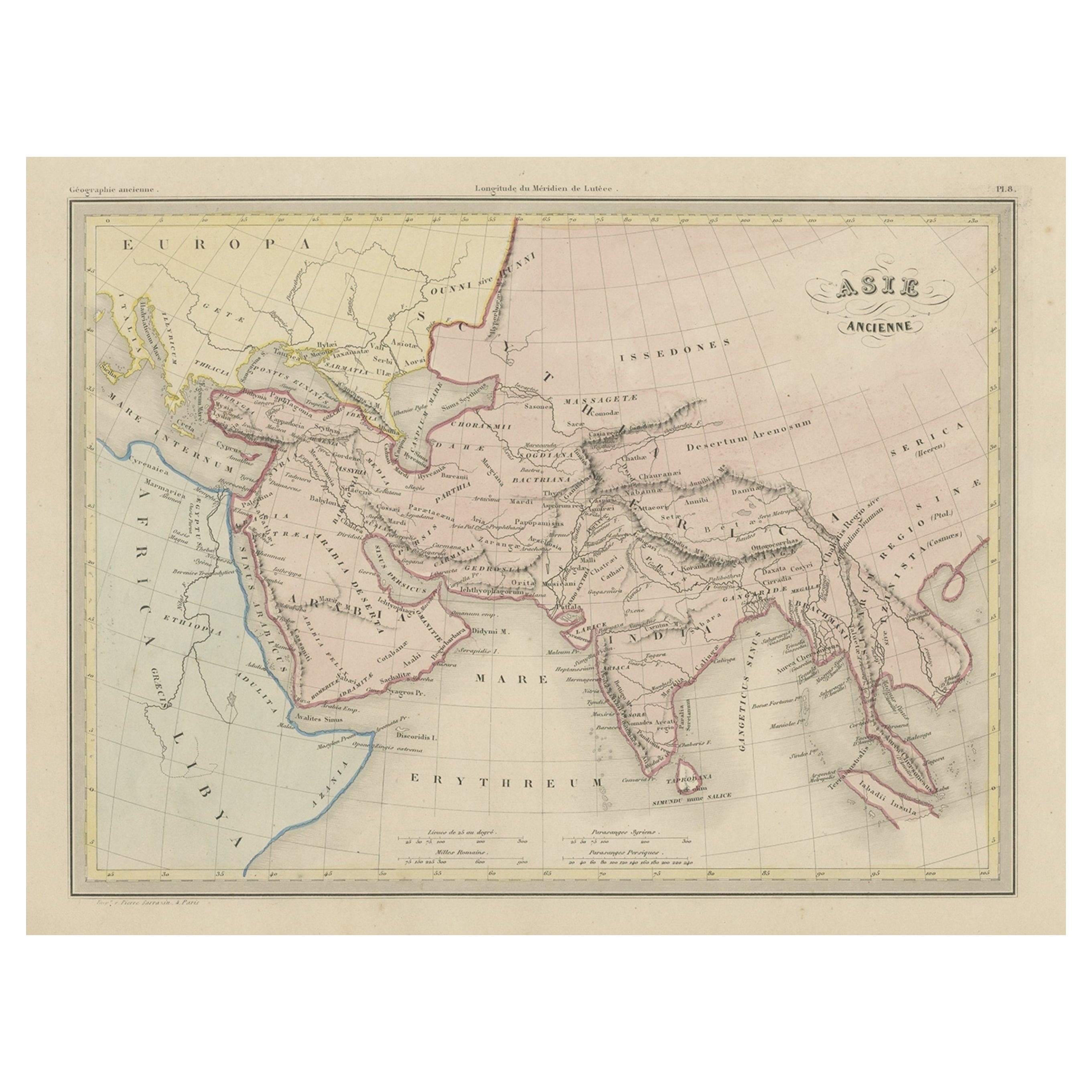
Original Antique Map of Ancient Asia, 1847
Located in Langweer, NL
Description: Antique map Asia titled 'Asie Ancienne'.
This is an original antique map of Ancient Asia and originates from 'Atlas de la Geographie ...
Category
Antique 1840s Maps
Materials
Paper
$172 Sale Price
20% Off
You May Also Like
Original Antique Map of The World by Thomas Clerk, 1817
Located in St Annes, Lancashire
Great map of The Eastern and Western Hemispheres
On 2 sheets
Copper-plate engraving
Drawn and engraved by Thomas Clerk, Edinburgh.
Published by Mackenzie And Dent, 1817
...
Category
Antique 1810s English Maps
Materials
Paper

Antique 1803 Italian Map of Asia Including China Indoneseia India
Located in Amsterdam, Noord Holland
Antique 1803 Italian Map of Asia Including China Indoneseia India
Very nice map of Asia. 1803.
Additional information:
Type: Map
Country of Manufacturing: Europe
Period: 19th centu...
Category
Antique 19th Century European Maps
Materials
Paper

$584 Sale Price
20% Off
Antique French Map of Asia Including China Indoneseia India, 1783
Located in Amsterdam, Noord Holland
Very nice map of Asia. 1783 Dedie au Roy.
Additional information:
Country of Manufacturing: Europe
Period: 18th century Qing (1661 - 1912)
Condition: Overall Condition B (Good Used)...
Category
Antique 18th Century European Maps
Materials
Paper

$648 Sale Price
20% Off
1790 Thomas Stackhouse Map, Entitled "Russia in Europe, " , Ric.a004
Located in Norton, MA
1790 Thomas Stackhouse map, entitled
"Russia in Europe"
Ric.a004
Stackhouse, Thomas
Russia in Europe [map]
London: T. Stackhouse, 1783. Map. Matted hand-colored copper engraving. Image size: 14.5 x 15.25 inches. Mat size: 22.75 x 23.75 inches. A beautiful example of this map of Eastern Europe...
Category
Antique 17th Century Unknown Maps
Materials
Paper

Original Antique Map of The Eastern Hemisphere by Dower, circa 1835
Located in St Annes, Lancashire
Nice map of the Eastern Hemisphere
Drawn and engraved by J.Dower
Published by Orr & Smith. C.1835
Unframed.
Free shipping
Category
Antique 1830s English Maps
Materials
Paper

Original Antique Map of The World by Dower, circa 1835
Located in St Annes, Lancashire
Nice map of the World
Drawn and engraved by J.Dower
Published by Orr & Smith. C.1835
Unframed.
Free shipping
Category
Antique 1830s English Maps
Materials
Paper

More Ways To Browse
Antique Painting Pompeii
Arman Boom Boom
Audubon Havell Edition
Audubon Havell
Aurelia In A Red Bonnet
Avi Kiriaty
Bernard Munch
Bjorn Wiinblad Lithograph
Botero Hand Signed
Calder Artist Proof
Carol Summers Vintage Prints
Chagall Circus Signed
Charles Cobelle Signed Lithograph
Charles T Bowling
Christian Choisy
Clyde Connell
Cobelle Lithograph
Cracked Gesso