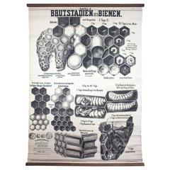
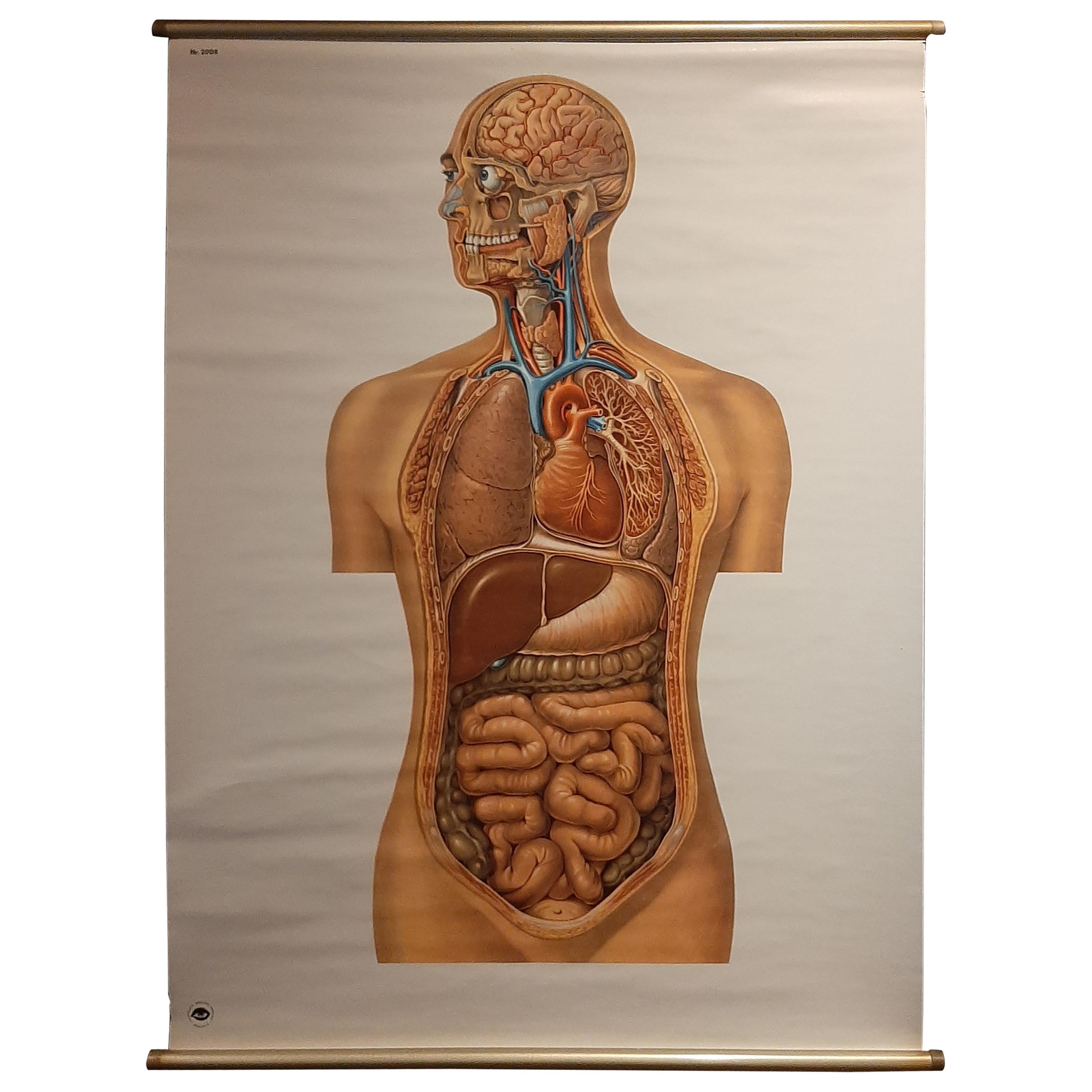
Wall Chart by Karl Steinmann, Breeding Season of the Honeybee, Vienna, 1901
View Similar Items

1 of 7
Wall Chart by Karl Steinmann, Breeding Season of the Honeybee, Vienna, 1901
About the Item
- Creator:Karl Steinmann (Illustrator)
- Dimensions:Height: 59.06 in (150 cm)Width: 44.89 in (114 cm)Depth: 0.04 in (1 mm)
- Style:Other (Of the Period)
- Materials and Techniques:
- Place of Origin:
- Period:1900-1909
- Date of Manufacture:1901
- Condition:Wear consistent with age and use.
- Seller Location:St. Margarethen, AT
- Reference Number:1stDibs: LU229135694763
You May Also Like
- Copy of 1901 Chart of Boston HarborLocated in Norwell, MALater copy after an original Boston Harbor chart by George Eldridge of Vineyard Haven and Boston. Detailed chart of Boston Harbor from the Neponset River in Quincy south down to Kimb...Category
Vintage 1910s North American Prints
MaterialsPaper
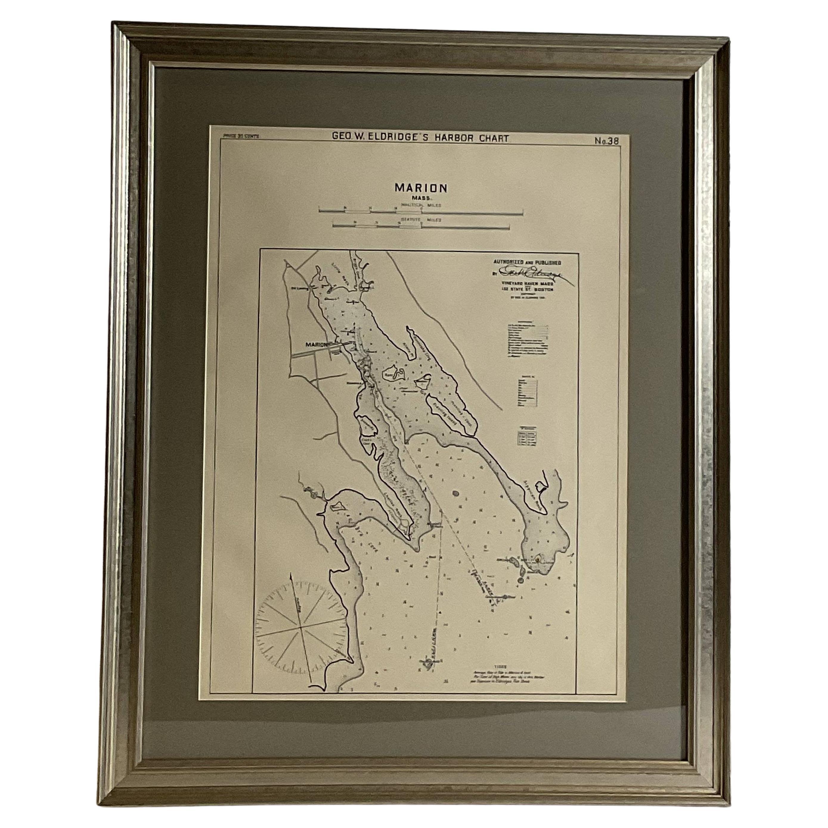
- Mariners Chart of Marion Massachussets by George Eldridge 1901Located in Norwell, MANautical chart showing the harbor and local waters of Marion Harbor., The chart displays depth, buoys, lighthouses, etc., Shown are Planting Island, Ram Island, Sippican Neck, Little...Category
Antique Early 1900s North American Prints
MaterialsPaper
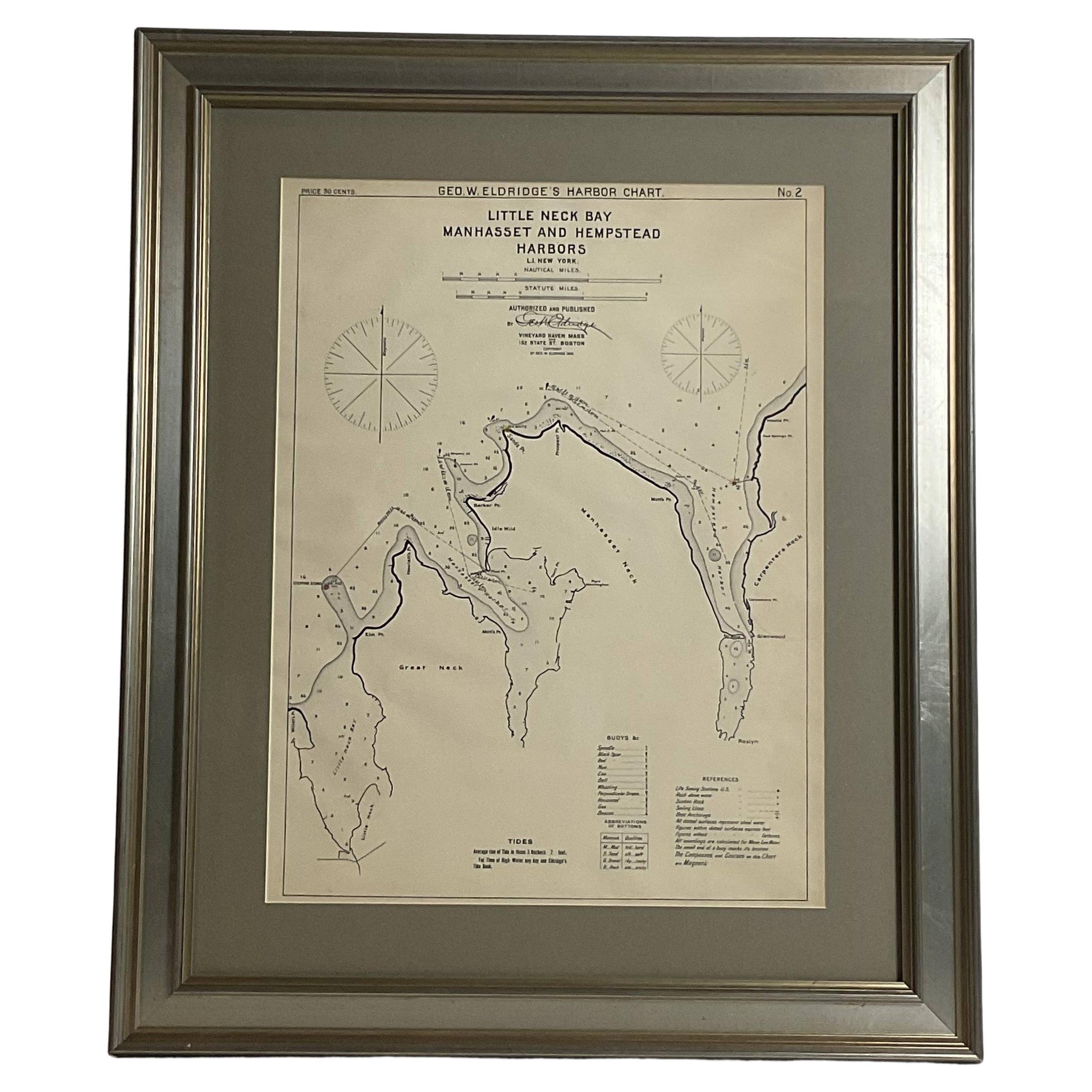
- Mariners charts of Massachusett Long Island by George Eldridge 1901Located in Norwell, MANautical Chart showing the harbor and local waters of the Little Neck Bay, Manhasset and Hempstead Harbors. The chart displays depths, buoys, lighthouses, etc., Shown is Manhasset Ne...Category
Antique Early 1900s North American Prints
MaterialsPaper
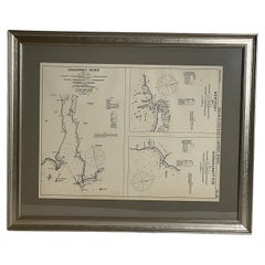
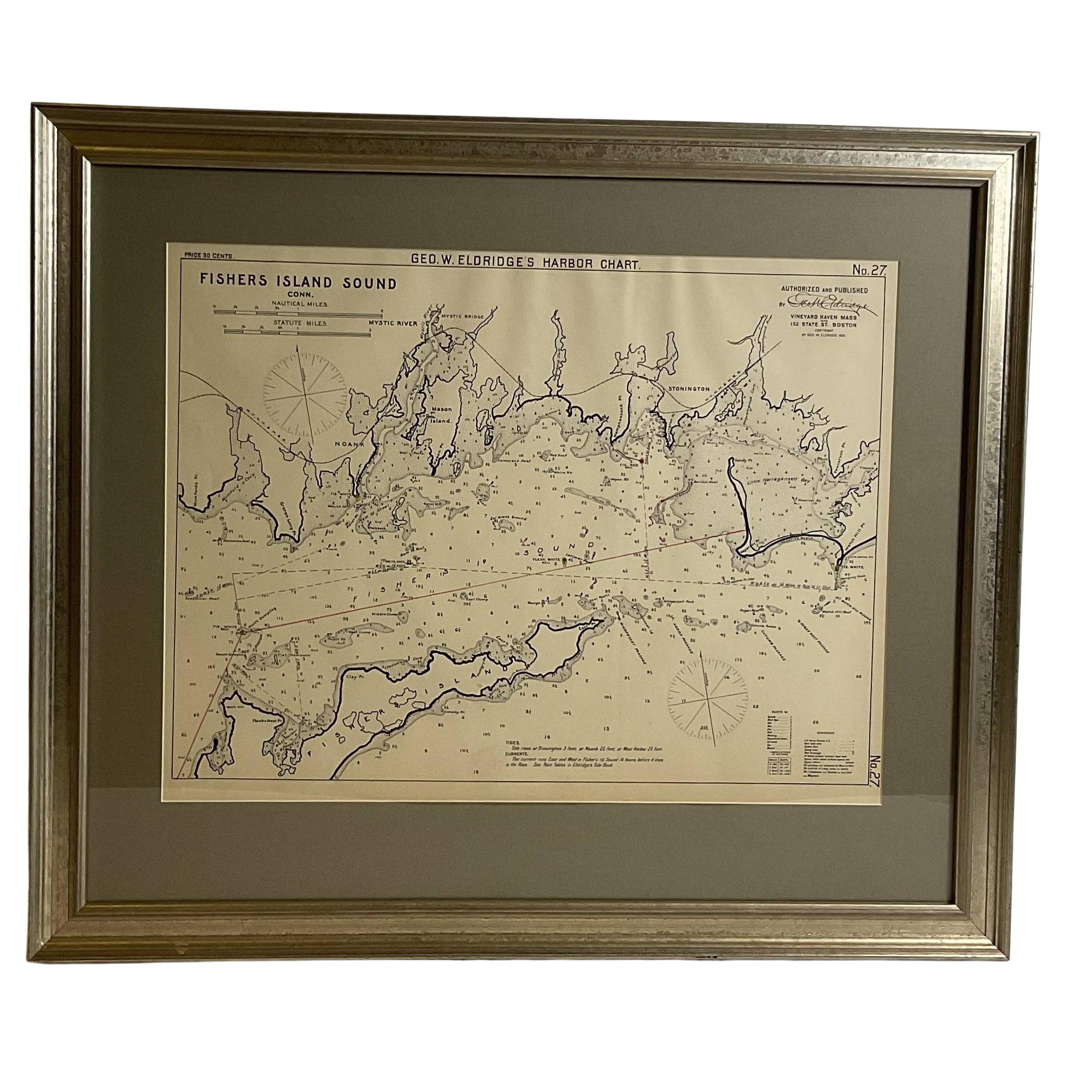
- Mariners Chart of Fishers Island Sound by George Eldridge 1901Located in Norwell, MANautical Chart showing the harbor and local waters of fishers island sound. The chart displays depths, buoys, lighthouses, etc., Shown is Watch Hill Point, Stonington, Mason Island, ...Category
Antique Early 1900s North American Prints
MaterialsPaper
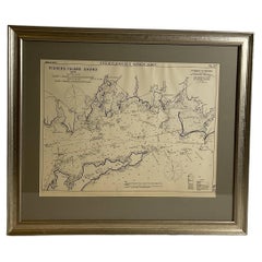
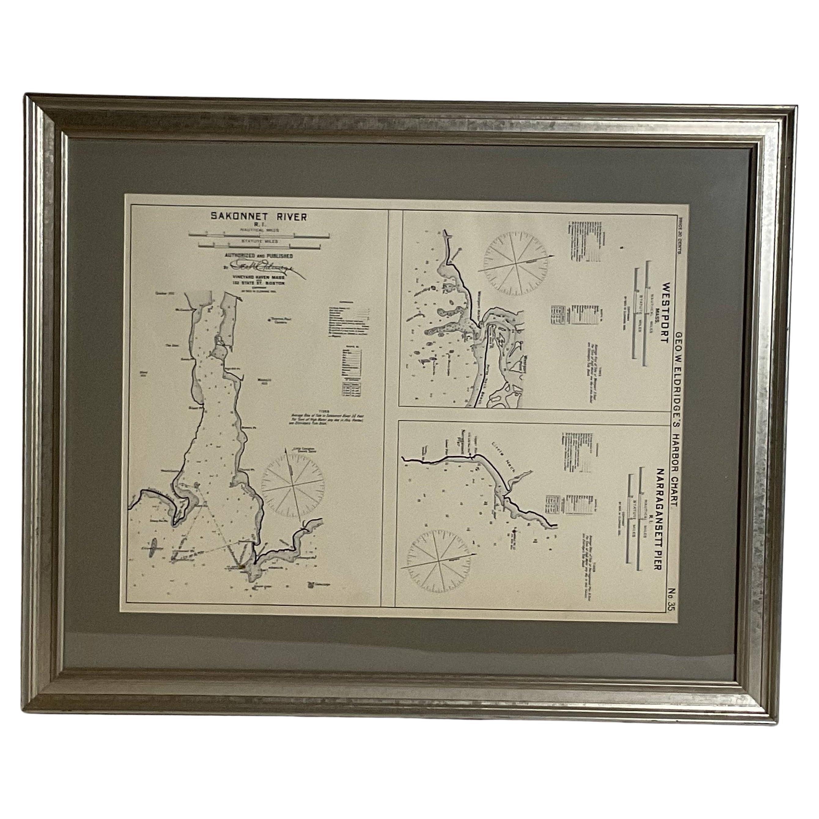
- Mariners Chart of Westport Mass and Narraganset Pier by George Eldridge 1901Located in Norwell, MAOriginal Nautical chart showing the harbor and local waters of Westport Mass, Narraganset Pier R.I. The chart displays depths, the Narraganset Pier, Little Neck Westport Harbor, Hors...Category
Antique Early 1900s North American Prints
MaterialsPaper
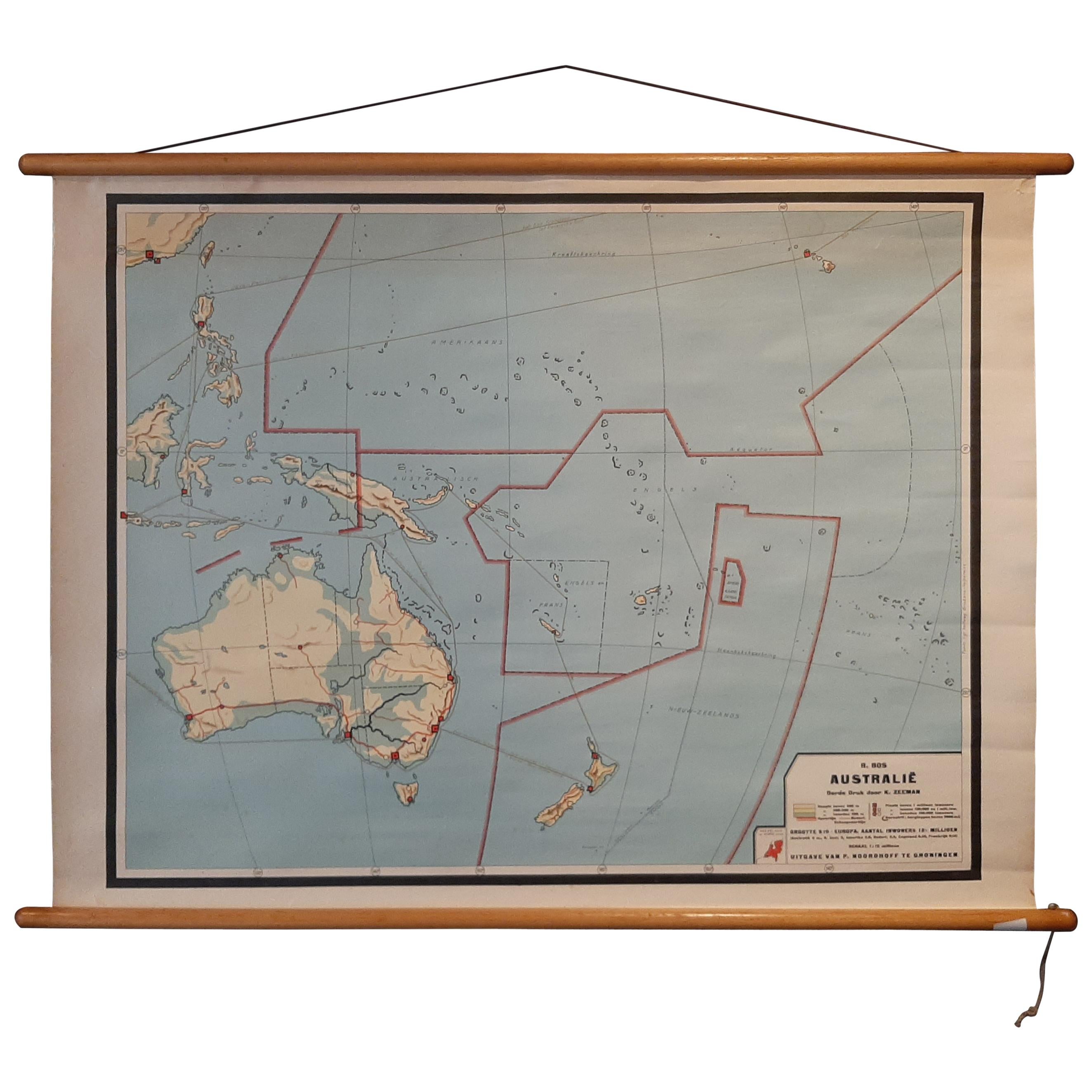
- Vintage Wall Chart of Australia, 1949Located in Langweer, NLVintage wall chart of Australia and surroundings. Published by R. Bos and K. Zeeman, 1949.Category
Mid-20th Century Prints
MaterialsPaper
 $659 Sale Price25% Off