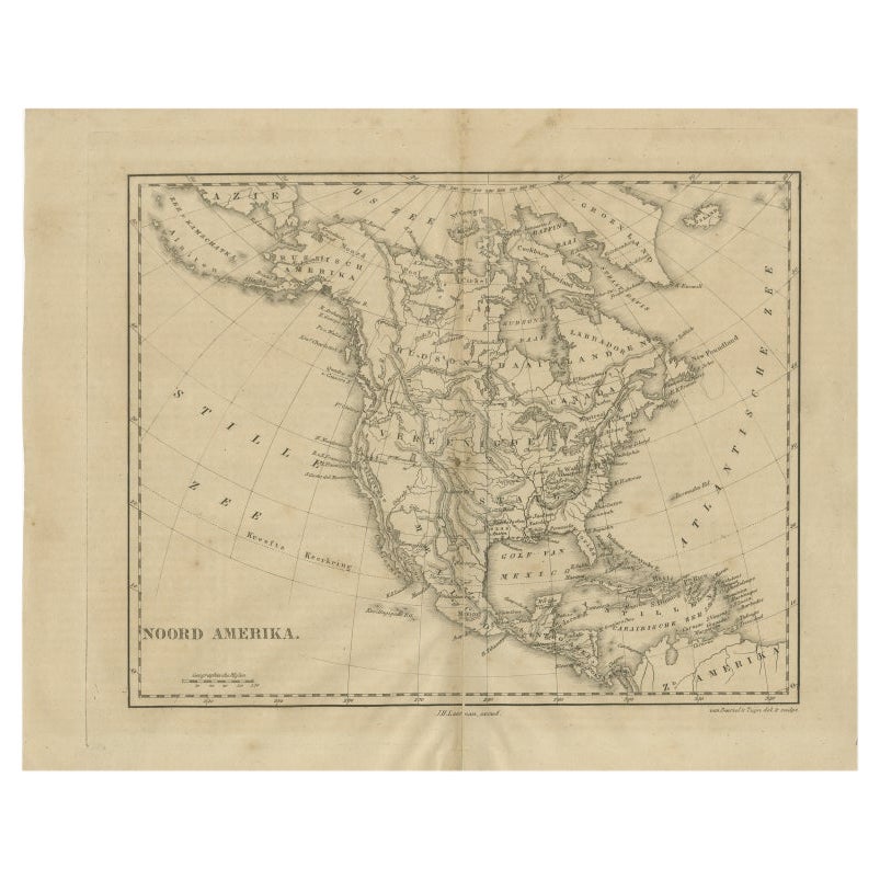
Items Similar to Map of North America - Etching - 19th Century


Want more images or videos?
Request additional images or videos from the seller
1 of 5
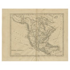
UnknownMap of North America - Etching - 19th Century19th Century
19th Century
$474.96
£358.96
€400
CA$663.48
A$721.80
CHF 380.88
MX$8,680.85
NOK 4,804.67
SEK 4,471.51
DKK 3,047.09
About the Item
Map of America is an etching realized during the 19th century.
Good condition.
- Creation Year:19th Century
- Dimensions:Height: 18.51 in (47 cm)Width: 20.48 in (52 cm)Depth: 0.04 in (1 mm)
- Medium:
- Movement & Style:
- Period:
- Framing:Framing Options Available
- Condition:Insurance may be requested by customers as additional service, contact us for more information.
- Gallery Location:Roma, IT
- Reference Number:Seller: T-1525191stDibs: LU650315638202
About the Seller
4.9
Platinum Seller
Premium sellers with a 4.7+ rating and 24-hour response times
1stDibs seller since 2017
7,837 sales on 1stDibs
Typical response time: 1 hour
- ShippingRetrieving quote...Shipping from: Grasse, France
- Return Policy
More From This Seller
View AllSoutherlandia Map - Etching by Johannes Janssonius - 1650
By Johannes Janssonius
Located in Roma, IT
Southerlandia Map is an ancient map realized in 1650 by Johannes Janssonius (1588-1664).
The Map is Hand-colored etching, with coeval watercoloring.
Good conditions.
From Atlantis...
Category
1650s Modern Figurative Prints
Materials
Etching

Map of the World - Original Etching - 1820
Located in Roma, IT
Map of the World is an Original Etching realized by an unknown artist of 19th century in 1820.
Very good condition on two sheets of white paper joine...
Category
1820s Modern Figurative Prints
Materials
Etching

Map of South America - Original Etching - Late 19th Century
Located in Roma, IT
This Map of South America is an etching realized by an anonymous artist.
The state of preservation of the artwork is good with some small diffused stains.
Sheet dimension: 41.5 x 27
The artwork represents the map South America...
Category
Late 19th Century Modern Figurative Prints
Materials
Etching
The Americas - Vintage Map - 18th century
Located in Roma, IT
The Americas is a very beautiful vintage map realized in the 18th century by an Italian cartographer.
Very good conditions, on the right side the inscript...
Category
18th Century Figurative Prints
Materials
Paper, Etching

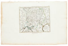
Map of Campaign of 1814 - Etching by Pierre François Tardieu - 1837
Located in Roma, IT
Map of Campaign of 1814 is an Etching realized by Pierre François Tardieu in 1837.
Good conditions.
The artwork is realized in a well-balanced composition. the artwork and belongs ...
Category
1830s Modern Figurative Prints
Materials
Lithograph

Map of Russia - Etching by Marco Di Pietro - 19th Century
Located in Roma, IT
This map of Russia is an etching realized by the Italian engraver Marco Di Pietro in 19th century.
The state of preservation of the artwork is excellent. The signature is engraved o...
Category
19th Century Old Masters Figurative Prints
Materials
Etching
You May Also Like
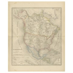
Antique Map of North America, 1821
Located in Langweer, NL
Antique map of America titled 'Carte de l'Amerique septentrionale'. Scarce map of North America, shortly after the Louisiana Purchase and the first ...
Category
Antique 19th Century French Maps
Materials
Paper

$617 Sale Price
20% Off
Antique Map of North America by Laarman, c.1860
Located in Langweer, NL
Antique map titled 'Noord Amerika'. Original antique map of North America. Published circa 1860. Artists and Engravers: Published by J.H. Laarman.
Artist: Published by J.H. Laarman.
...
Category
Antique 19th Century Maps
Materials
Paper
Antique Map of the United States by Balbi '1847'
Located in Langweer, NL
Antique map titled 'Etats-Unis'. Original antique map of the United States. This map originates from 'Abrégé de Géographie (..)' by Ad...
Category
Antique Mid-19th Century Maps
Materials
Paper

$189 Sale Price
20% Off
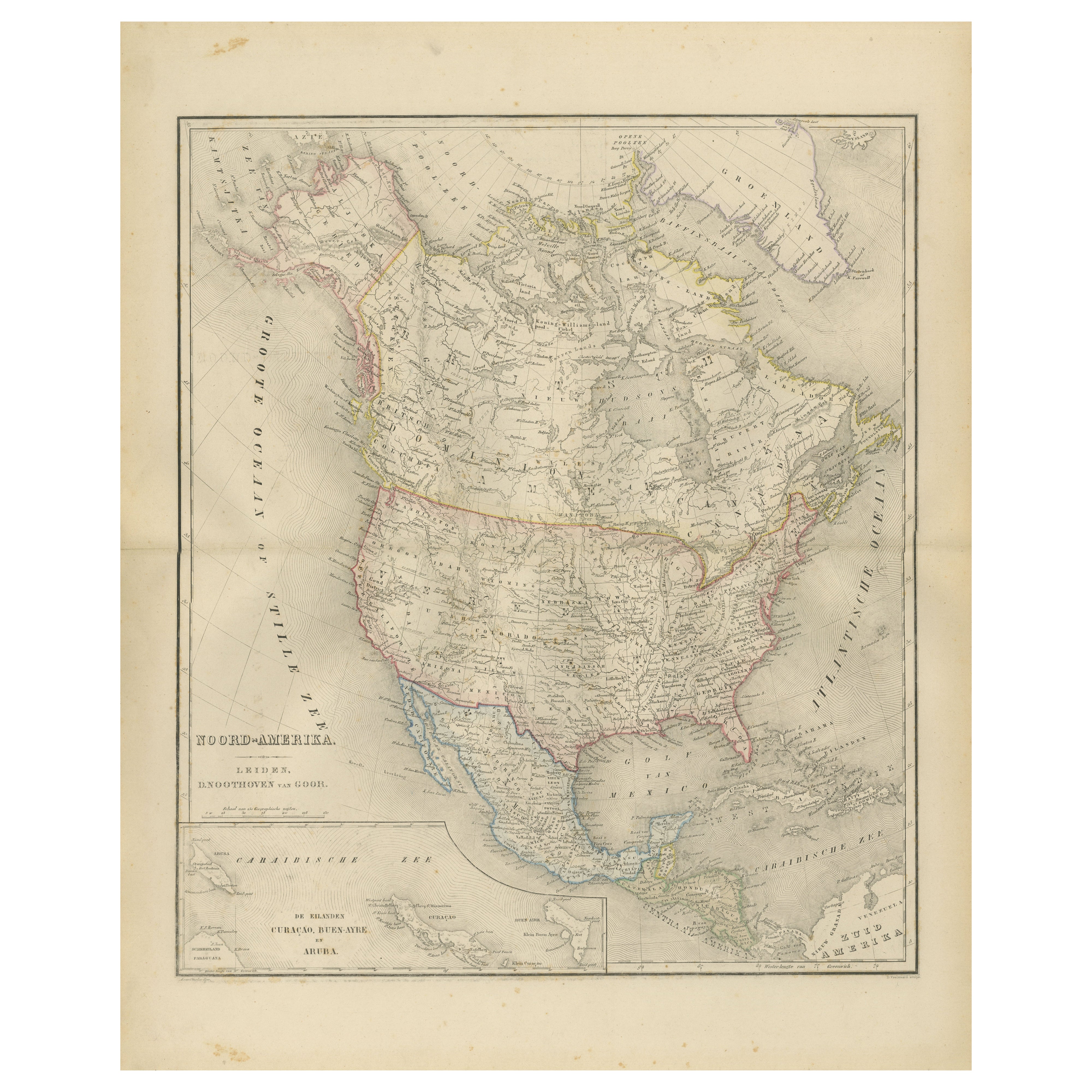
North America Map with USA, Canada & Mexico – Nieuwe Hand-Atlas, 1876
Located in Langweer, NL
North America Map with USA, Canada & Mexico – Nieuwe Hand-Atlas, 1876
This finely engraved 19th-century map of “Noord-Amerika,” published in 1876 by D. Noothoven van Goor of Leiden ...
Category
Antique 1870s Dutch Maps
Materials
Paper
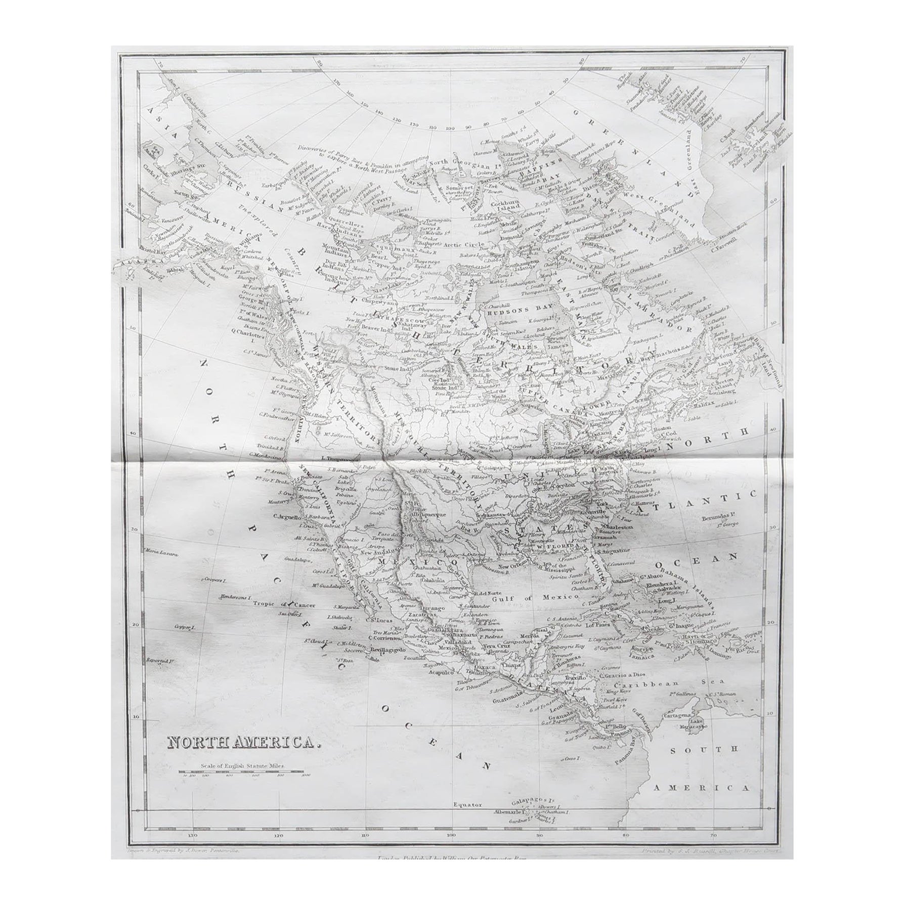
Original Antique Map of North America by Dower, circa 1835
Located in St Annes, Lancashire
Nice map of North America
Drawn and engraved by J.Dower
Published by Orr & Smith. C.1835
Unframed.
Free shipping
Category
Antique 1830s English Maps
Materials
Paper

Antique Map of North America by Levasseur, 1875
Located in Langweer, NL
Antique map titled 'Carte générale de l'Amérique Septentrionale'. Large map of North America. This map originates from 'Atlas de Géographie Modern...
Category
Antique Late 19th Century French Maps
Materials
Paper

More Ways To Browse
Antique Maps Of North America
Icarus Matisse
Invader Marilyn
Itzchak Tarkay Lithograph
James Pryde
James Thurber
Jean Charlot Lithograph
Jim Banks
Jim Dine Rainbow
Jim Holland
John Asaro
John Baldessari Poster
John Lurie
John Rizzi
Karen Finley
Keith Haring Area Nightclub Invite New York 1986
Keith Haring Barking Dog
Keith Haring Jazz Poster