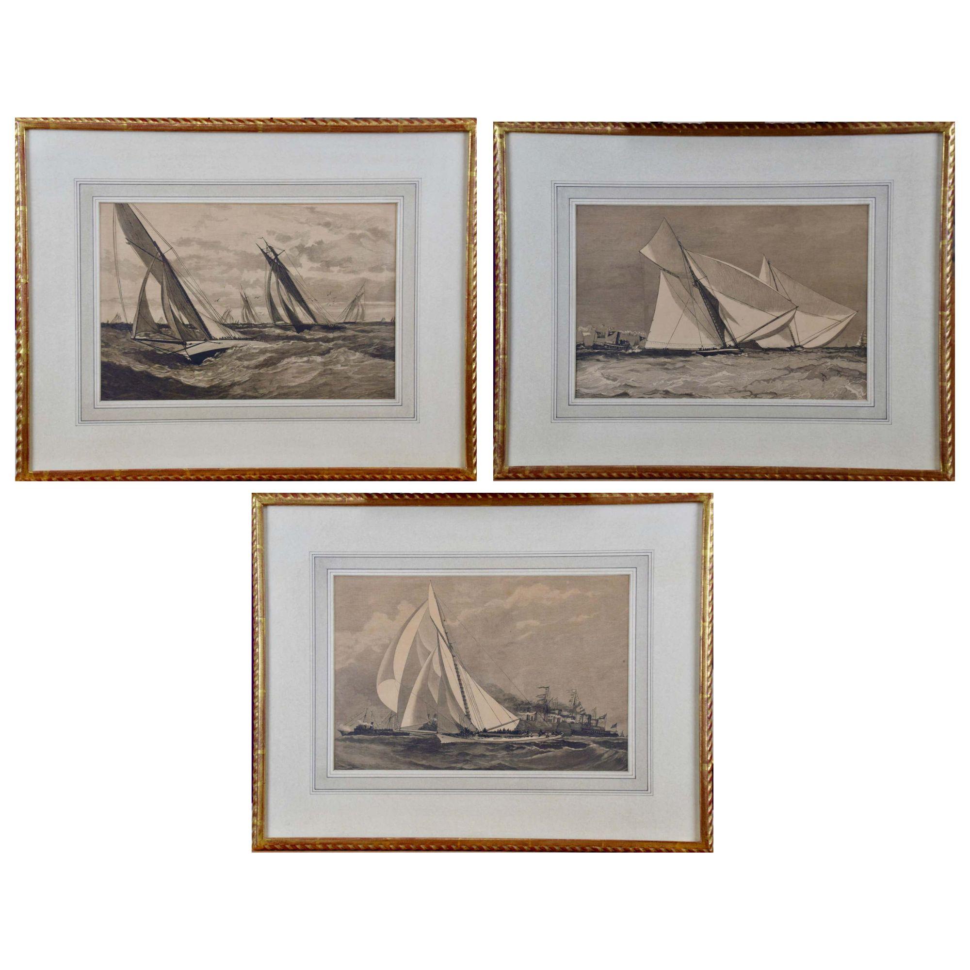
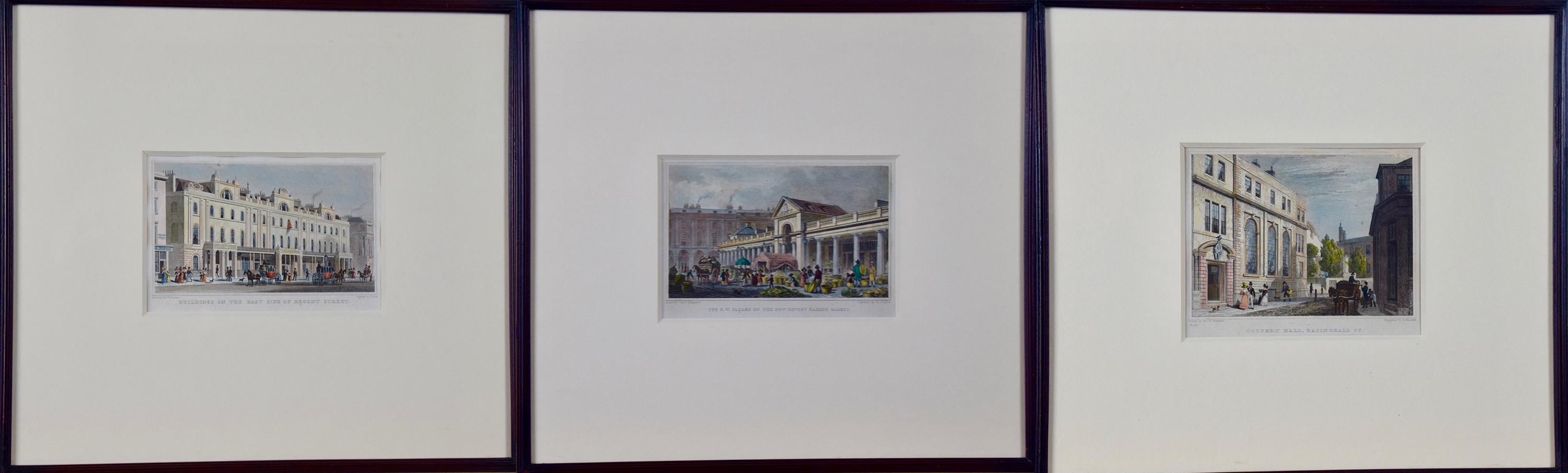
1885 America's Cup Sailing Yachts: Set of 3 Original 19th C. Engravings


Want more images or videos?
Request additional images or videos from the seller
1 of 20
Unknown1885 America's Cup Sailing Yachts: Set of 3 Original 19th C. Engravings1885
1885
About the Item
About the Seller
5.0
Platinum Seller
Premium sellers with a 4.7+ rating and 24-hour response times
Established in 2011
1stDibs seller since 2019
281 sales on 1stDibs
Typical response time: 1 hour
Authenticity Guarantee
In the unlikely event there’s an issue with an item’s authenticity, contact us within 1 year for a full refund. DetailsMoney-Back Guarantee
If your item is not as described, is damaged in transit, or does not arrive, contact us within 7 days for a full refund. Details24-Hour Cancellation
You have a 24-hour grace period in which to reconsider your purchase, with no questions asked.Vetted Professional Sellers
Our world-class sellers must adhere to strict standards for service and quality, maintaining the integrity of our listings.Price-Match Guarantee
If you find that a seller listed the same item for a lower price elsewhere, we’ll match it.Trusted Global Delivery
Our best-in-class carrier network provides specialized shipping options worldwide, including custom delivery.More From This Seller
View AllMeissen, Germany : A Large Framed 18th Century Map by Petrus Schenk
Located in Alamo, CA
This is a hand-colored 18th century map of the Meissen region of Germany, entitled "Geographischer Entwurff Derer Aemmter Meissen als Creys-Procuratur-Schul-und Stiffts-Ammt benebst ...
Category
Mid-18th Century Old Masters Landscape Prints
Materials
Engraving

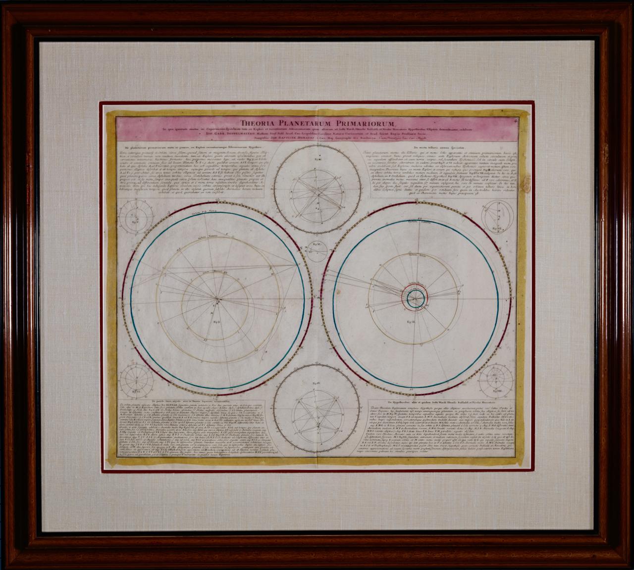
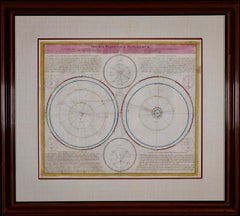
Theories of Planetary Motion: An 18th C. Framed Celestial Map by Doppelmayr
By Johann Gabriel Doppelmayr 1
Located in Alamo, CA
This 18th century hand-colored copperplate celestial map by Johann Doppelmayr entitled "Theoria Planetarum Primariorum In qua ipsorum motus in Copernican...
Category
Early 18th Century Landscape Prints
Materials
Engraving
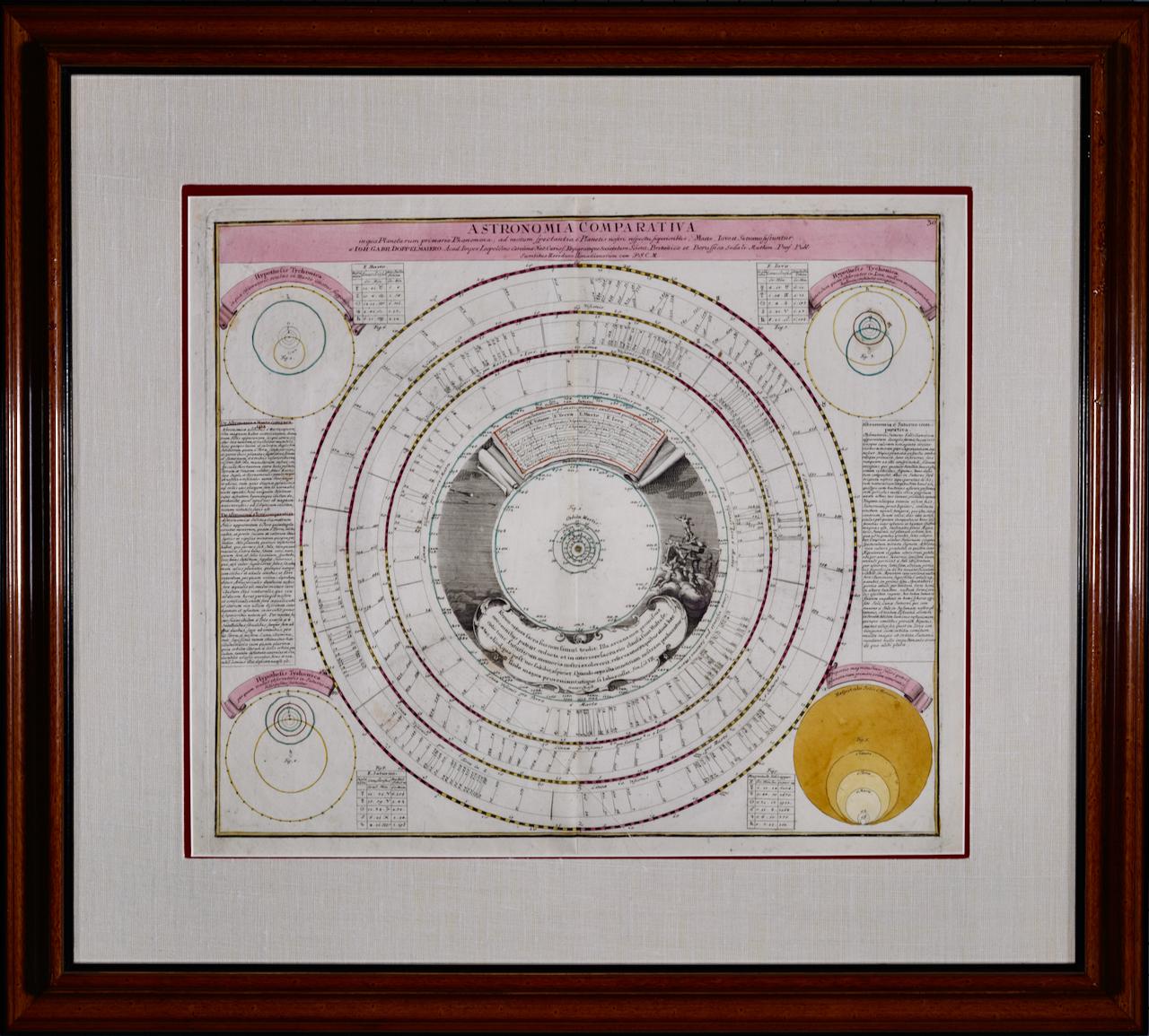
Theories of Planetary Orbits: A Framed 18th C. Celestial Map by Doppelmayr
By Johann Gabriel Doppelmayr 1
Located in Alamo, CA
This 18th century hand-colored copperplate celestial map by Johann Doppelmayr entitled "Astronomia Comparativa in qua Planetarum Primaria Phaenomena" (Co...
Category
Early 18th Century Landscape Prints
Materials
Engraving

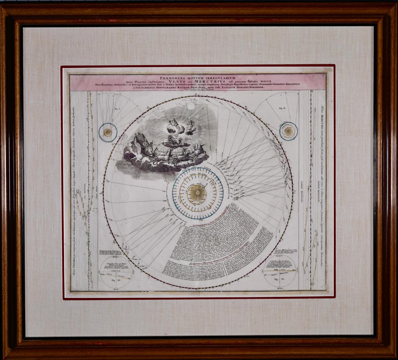
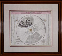
The Orbits of Venus and Mercury: An 18th C. Framed Celestial Map by Doppelmayr
By Johann Gabriel Doppelmayr 1
Located in Alamo, CA
This 18th century hand-colored copperplate celestial map by Johann Doppelmayr entitled "Phænomena Motuum Irregularium quos Planetar inferiores Venus et M...
Category
Early 18th Century Landscape Prints
Materials
Engraving
Frankfort, Germany: A 16th Century Hand-colored Map by Braun & Hogenberg
By Franz Hogenberg
Located in Alamo, CA
This is a 16th century original hand-colored copperplate engraved map of Frankfort, Germany entitled "Francenbergum, vel ut alij Francoburgum Hassiae Opp" by Georg Braun & Franz Hogenberg, from their famous city atlas "Civitates Orbis Terrarum", published in Cologne, Germany in 1595.
This is an English translation of an excerpt from the original text in the atlas:
"Frankenberg or, according to others, Francoburgum, a town in Hesse. Charlemagne vested the town of Frankenberg with many freedoms and privileges, which it still enjoys to this day, and on account of its valiant and victorious soldiers awarded a signet, upon which there formerly appeared a golden castle with a tower, together with the letter F and a golden crown.
Frankenberg, seen here from the northeast, lies on a hill above the River Eder. The hillside is covered with fields neatly separated by bushes and fences. Soaring above the town is the massive Liebfrauenkirche, which was modelled on St Elizabeth's church in Marburg. The New Town was founded in 1335 at the foot of the hill (right) and merged with the Old Town as late as 1556. Frankenberg was founded by Conrad of Thuringia in 1233/34 to prevent the archbishops of Mainz from expanding their sphere of influence...
Category
16th Century Old Masters Landscape Prints
Materials
Engraving

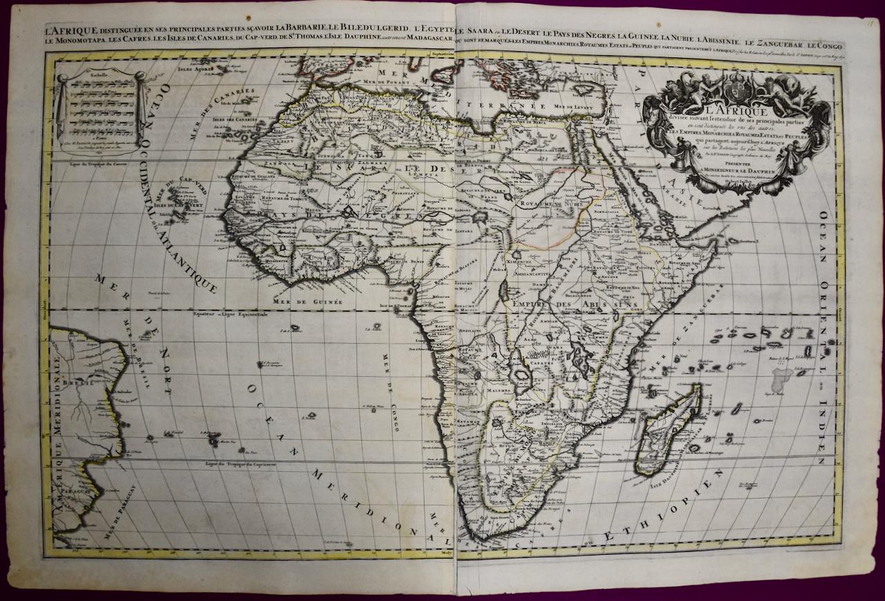
Africa: A Large 17th Century Hand-colored Map By Sanson and Jaillot
By Nicholas Sanson d'Abbeville
Located in Alamo, CA
This large original hand-colored copperplate engraved map of Africa entitled "L'Afrique divisee suivant l'estendue de ses principales parties ou sont distingues les uns des autres, L...
Category
1690s Landscape Prints
Materials
Engraving

You May Also Like
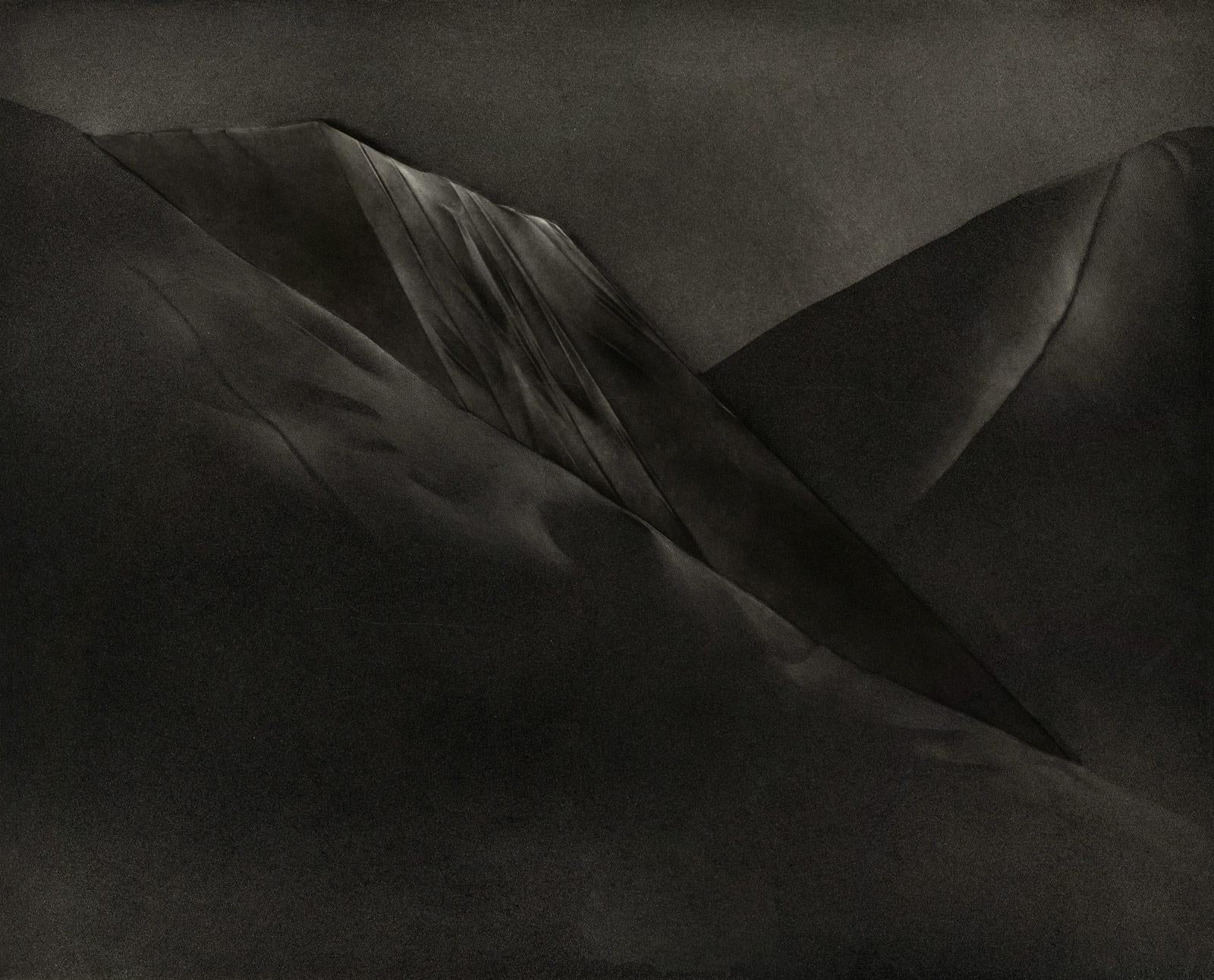
Mont et Mervale (Mountains and Wonder)
By Christine Ravaux
Located in New Orleans, LA
Born in Charleroi, Belgium, Christine Ravaux is an artist who mirrors her surroundings in the mezzotints she creates. She has portrayed the black hills that dot the landscape of the ...
Category
1990s Contemporary Landscape Prints
Materials
Mezzotint, Aquatint
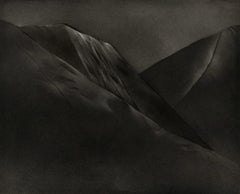
$300 Sale Price
33% Off
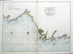
Carte Particular Des Costes De Bretagne Depuis le Cap de Frehel, Jusques a Perros
By Pierre Mortier
Located in Paonia, CO
Carte Particulaire Des Costes De Bretagne Depuis Le Cap de Frehel, Jusques a Perros, & L’Isle Tome. This large sea scale chart shows part of the northwestern co...
Category
1690s Landscape Prints
Materials
Engraving
England Map of the County of Southampton from an Actual Survey
Located in Paonia, CO
Cartographers Christopher (1786-1855) and John (1791-1867) Greenwood were surveyors from Yorkshire, who undertook an ambitious project to produce a series of large-scale maps of the counties of England, Wales and Scotland.The maps represent a remarkable and impressive surveying achievement forming an important record of the counties depicted.
In the years 1817-1832 the Greenwood brothers published the Atlas of The Counties of England from an Actual Survey. This Atlas was finely drafted and engraved and decorated with large vignettes of prominent buildings of the county. This map of Southampton County is beautifully hand colored and is in very good condition. There is a vignette of Winchester Cathedral...
Category
19th Century Other Art Style Landscape Prints
Materials
Engraving

Map of the County of Buckingham From an Actual Survey
Located in Paonia, CO
Cartographers Christopher (1786-1855) and John (1791-1867) Greenwood were surveyors from Yorkshire, who undertook an ambitious project to produce a series of large-scale maps of the counties of England, Wales and Scotland.The maps represent a remarkable and impressive surveying achievement forming an important record of the counties depicted.
In the years 1817-1832 the Greenwood brothers published the Atlas of The Counties of England from an Actual Survey. This Atlas was finely drafted and engraved and decorated with large vignettes of prominent buildings of the county. This map of Buckingham County is beautifully hand colored and is in very good condition. There is a vignette of Stowe House...
Category
19th Century Other Art Style More Prints
Materials
Engraving

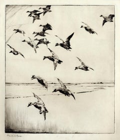
Here They Come !
By Frank W. Benson
Located in New York, NY
This impression of "Here They Come !" is from the fourth state of eight. There are six known impressions of the fourth state. Edition 150 (final state). It is signed in pencil in the lower left and inscribed "D-1". The image size 13 7/8 x 11 3/4" (34.6 x 28.8 cm) and sheet size 16 3/4 x 14 5/8" (42.8 x 37.1 cm).
FRANK W. BENSON (1862-1951)
Frank Weston Benson, well known for his American impressionist paintings, also produced an incredible body of prints - etchings, drypoints, and a few lithographs. Born and raised on the North Shore of Massachusetts, Benson, a natural outdoorsman, grew up sailing, fishing, and hunting. From a young age, he was fascinated with drawing and birding – this keen interest continued throughout his life.
His first art instruction was with Otto Grundman at the Museum of Fine Arts in Boston, and then in 1883 in Paris at the Academie Julian where he studied the rigorous ‘ecole des beaux arts’ approach to drawing and painting for two years.
During the early 1880’s Seymour Haden visited Boston giving a series of lectures on etching. This introduction to the European etching...
Category
1920s American Impressionist More Prints
Materials
Drypoint
Clairton (night view of US Steel Clairton coke plant, largest in America)
By Craig McPherson
Located in New Orleans, LA
McPherson's night view of the Clairton steelworks is printed on light green laid paper referenced as Hartley M1. It is signed, titled and dated in pencil. Marked ed 75 and "imp" in...
Category
1990s American Modern Landscape Prints
Materials
Mezzotint