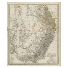
Antique Map of South East Australia by Stieler, c.1848
By Thomas Kitchin
Located in Langweer, NL
Antique map Australia titled 'Süd-Ost Australien'. Detailed map of South East Australia.
Category
19th Century Antique Maps Australia
Materials
Paper
Antique Map of South East Australia by Stieler, c.1848
By Thomas Kitchin
Located in Langweer, NL
Antique map Australia titled 'Süd-Ost Australien'. Detailed map of South East Australia.
Paper
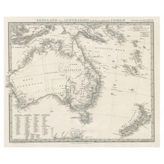
German Antique Map of Australia and New Zealand, 1857
Located in Langweer, NL
Antique map Australia titled 'Festland von Australien und benachbarte Inseln'.
Paper
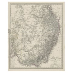
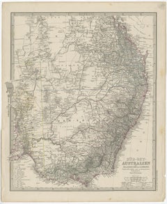
Antique Engraved Map of South East Australia from a German Atlas, 1848
Located in Langweer, NL
Antique map Australia titled 'Süd-Ost Australien'. Detailed map of South East Australia.
Paper
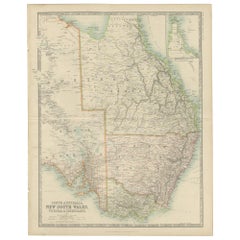
Antique Detailed Map of New South Wales, Queensland & Victoria, Australia, 1865
Located in Langweer, NL
Antique map Australia titled 'South Australia, New South Wales, Victoria & Queensland'.
Paper
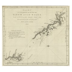
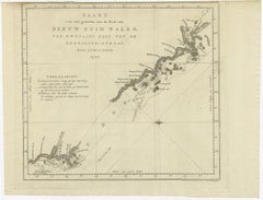
Original Copper Engraving of the Northeast Coast of Australia, 1803
Located in Langweer, NL
Antique map Australia titled 'Kaart van een gedeelte van de Kust van Nieuw Zuid Wales van Kwelling Kaap tot de Endeavour-Straat door Luit.
Paper
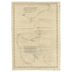
Large Antique Map of Bass Strait, Tasmania, Australia by Cook, 1803
Located in Langweer, NL
Antique map Australia titled 'Kaart van Basses Straat tusschen Nieuw Zuid Wales en van Diemensland (..)'.
Paper
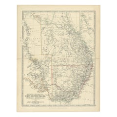
Antique Map of South Australia, Victoria, Queensland and New South Wales, c.1860
Located in Langweer, NL
Antique map Australia titled 'South Australia, New South Wales, Victoria & Queensland'.
Paper
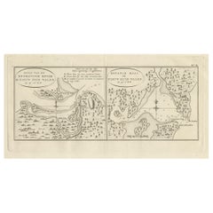
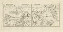
Antique Map of Endeavour River and Botany Bay, New South Wales, Australia, 1803
Located in Langweer, NL
Antique map Australia titled 'Mond van de Endeavour Rivier in Nieuw Zuid Wales' and 'Botanie Baai in Nieuw Zuid Wales'.
Paper
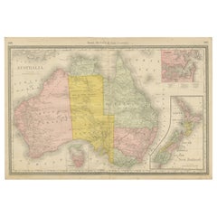
Antique Australia & New Zealand Map Wall Art – Rand McNally Atlas, c.1888
Located in Langweer, NL
Title: Antique Australia & New Zealand Map Wall Art – Rand McNally Atlas, c.1888 Description: This finely colored antique atlas map presents Australia in full, accompanied by in...
Paper
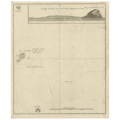

Antique Map of Suffren Island by Cook, 1803
Located in Langweer, NL
Antique map Australia titled 'Gezigt van het Eil. Suffren'.
Paper
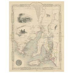
Antique Map of South Australia by Tallis, 1851
By Thomas Kitchin
Located in Langweer, NL
Antique map Australia titled 'Part of South Australia'.
Paper
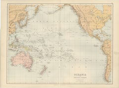
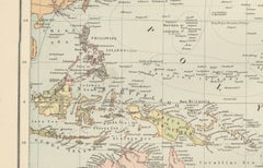
Grand Antique Map of Oceania and the Pacific Ocean – Australia & America, 1884
Located in Langweer, NL
Grand Antique Map of Oceania and the Pacific Ocean – Australia & America 1884 This impressive antique map titled Oceania – Pacific Ocean was published in the New and Revised Edition...
Paper
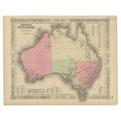
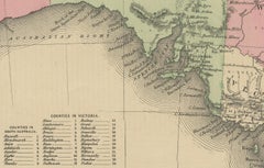
Johnson’s Australia Map, USA Published c.1864 – Decorative Hand-Colored Map
Located in Langweer, NL
Johnson’s Australia Map, USA Published c.1864 – Decorative Hand-Colored Map This is a finely engraved and hand-colored map titled Johnson’s Australia published by Johnson and Ward i...
Paper
$226 / set
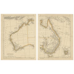
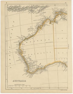
Antique Map of Australia by Lowry, 1852
Located in Langweer, NL
Antique map titled 'Australia'. Two individual sheets of Australia.
Paper
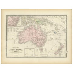
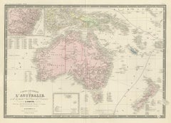
Antique Map of Australia by Levasseur, '1875'
Located in Langweer, NL
Antique map titled 'Carte générale de l'Australie'. Large map of Australia.
Paper
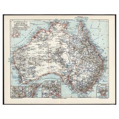
German Antique Map of Australia, Meyers, 1885
Located in Langweer, NL
Australien.' (Map of Australia. With inset maps of the large cities and Tasmania.)
Paper
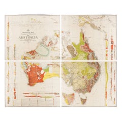

Impressive Geological Map of Australia – Rare Oversized Wall Display, 1931–32
Located in Langweer, NL
Geological Map of the Commonwealth of Australia by Sir Edgeworth David, 1931–32 Large and highly detailed geological map of the Commonwealth of Australia, compiled under the directi...
Linen, Paper
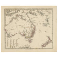
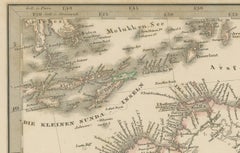
Australia, New Zealand, and Neighbouring Islands Map 1858
Located in Langweer, NL
Australia and Neighbouring Islands Map 1858 This attractive antique print shows “Festland von Australien und benachbarte Inseln” meaning “Mainland Australia and neighbouring islands.”
Paper
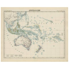
Antique Map of Australia by H. Kiepert, 1875
Located in Langweer, NL
Antique map titled 'Australien'. Large and detailed map of Australia and New Zealand.
Paper
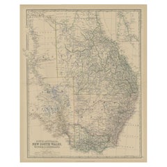
Antique Map of South Australia by Johnston, 1882
By Thomas Kitchin
Located in Langweer, NL
Old map of Southern Australia, with an inset map of Cape York Peninsula.
Paper
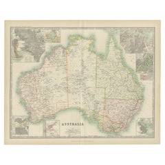
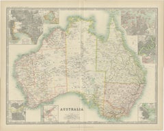
1909 Antique Map of Australia by W. & A.K. Johnston with Inset Maps
Located in Langweer, NL
Antique map titled 'Australia'. Original antique map of Australia.
Paper
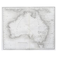
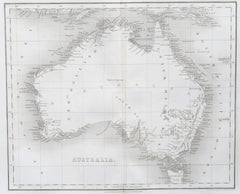
Original Antique Map of Australia by Dower, circa 1835
Located in St Annes, Lancashire
Nice map of Australia Drawn and engraved by J.Dower Published by Orr & Smith.
Paper
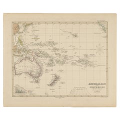
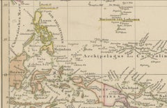
Antique Map of Australia, New Zealand & Polynesia – Stülpnagel, 1857
Located in Langweer, NL
Antique Map of Australia, New Zealand & Polynesia – Stülpnagel, 1857 Description: This finely engraved and delicately hand-colored map titled "Australien und Polynesien in Mercator'...
Paper
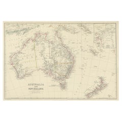
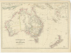
Antique Map of Australia and New Zealand, c.1860
Located in Langweer, NL
Antique map titled 'Australia and New Zealand'. Unusual edition of this map of Australia and New Zealand, on very thin paper and multiple folding lines.
Paper
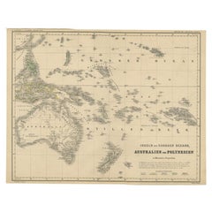
German Antique Map of Australia and Polynesia, c.1870
Located in Langweer, NL
Old map of Australia and Polynesia. This map originates from 'H.
Paper
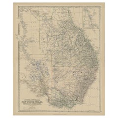
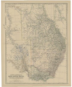
Old Map of Southern Australia, with an Inset Map of Cape York Peninsula, 1882
Located in Langweer, NL
Old map of Southern Australia, with an inset map of Cape York Peninsula.
Paper
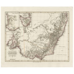
Antique Map of Southeastern Australia by F. von Stülpnagel, 1850
Located in Langweer, NL
Antique map titled 'Süd-Östlichen Australien'. Map of southeastern Australia with inset maps of southwest Australia and Tasmania compiled by the military cartographer Friedrich von S...
Paper
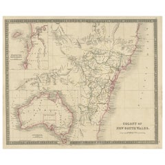
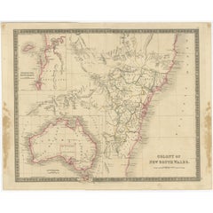
Antique Map of New South Wales with Inset Maps of Australia and Swan River, 1854
Located in Langweer, NL
Antique map titled 'Colony of New South Wales'. Map of New South Wales with inset maps of Australia and Swan River.
Paper
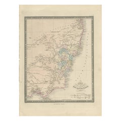

Antique Map of New South Wales 'Australia' by Wyld '1845'
Located in Langweer, NL
Original antique map of New South Wales, Australia. This map originates from 'An Atlas of the World, Comprehending Separate Maps of its Various Countries, constructed and drawn from ...
Paper
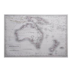
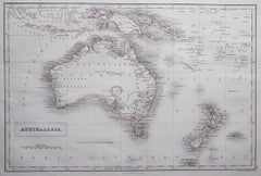
Large Original Antique Map of Australia by Sidney Hall, 1847
Located in St Annes, Lancashire
Great map of Australia Drawn and engraved by Sidney Hall Steel engraving Original colour outline Published by A & C Black. 1847 Unframed Free shipping.
Paper
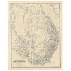

Antique Map of South Australia by A.K. Johnston, 1865
Located in Langweer, NL
Antique map titled 'South Australia, New South Wales, Victoria & Queensland'.
Paper
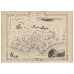
Antique Map of Victoria ‘Australia’ by J. Tallis, circa 1855
Located in Langweer, NL
A highly decorative and finely engraved mid-19th century map of Victoria, Australia which appeared in John Tallis & co.'
Paper
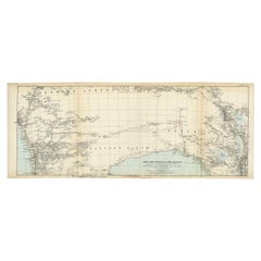
Antique Exploration Map of Australia from Beltana to Perth, 1876
Located in Langweer, NL
Giles (..)'. Old map of Australia from Bunbury to Adelaide in the south, upper Murchison to north of Lake Eyre in the north.
Paper
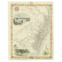
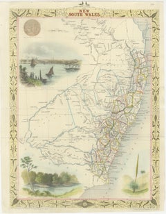
Antique Map of New South Wales in Australia, ca. 1850
Located in Langweer, NL
Antique map of Victoria, or Port Phillip (12.7 x 10.0") in Australia.
Paper
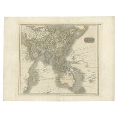

Antique Map of Asia Depicting Asia and Australia, c.1814
Located in Langweer, NL
Antique map titled 'Asia'. This map depicts Asia and Australia.
Paper


Antique Map of Australia and Polynesia with Cook's Voyages, Walch, 1802
Located in Langweer, NL
An original antique copper engraved map with original hand color, published at Augsburg in 1802.
Paper
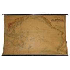
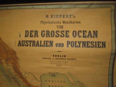
Huge wall lithograph map 1886: Australia, Polynesia, West Coast America, Japan
By Heinrich Kiepert
Located in Purkersdorf, AT
Published by Dietrich Reimer, Berlin. Very large wall map "The Great Ocean" (including the west coast of South and North America, Japan, Polynesia, and Australia).
Linen, Hardwood, Paper
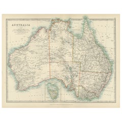
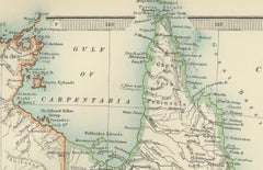
Antique Map of Australia, 1903, with Colonial Divisions and Detailed Topography
Located in Langweer, NL
Title: Antique Map of Australia, 1903, with Colonial Divisions and Detailed Topography Description: This antique map, titled "Australia," was engraved and published in 1903 by W. & ...
Paper
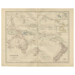
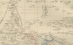
Australia and Polynesia with New Zealand – Noothoven van Goor, 1876 Map
Located in Langweer, NL
Australia and Polynesia with New Zealand – Noothoven van Goor, 1876 Map This finely engraved 19th-century map, titled “Australië en Polynesie,” was published in Leiden by D.
Paper
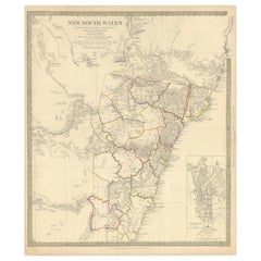
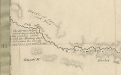
Detailed Map of New South Wales, Australia from 1833 by SDUK
Located in Langweer, NL
Detailed Map of New South Wales, Australia from 1833 by SDUK This historical map of New South Wales, Australia, published in 1833 by the Society for the Diffusion of Useful Knowledg...
Paper
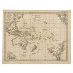
Antique Map of Australia and Polynesia, inset of Tasmania c.1860
Located in Langweer, NL
German antique map titled 'Australien und Polynesien'. Old map of Australia (New Holland) and Polynesia.
Paper
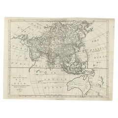

Antique Map of Asia and Australia with a Speculative Coastline, 1777
Located in Langweer, NL
Antique map titled 'A New & Accurate Map of Asia'. Detailed map of Asia and Australia, shows a still largely speculative Southern Australian coastline.
Paper
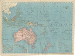
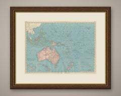
Antique Map of Oceania and Malaysia, with Australia and New Zealand, 1899
By Rand McNally & Co.
Located in Langweer, NL
Curving pink and yellow lines trace steamship routes between Australia, New Zealand, Hawaii and the American and Asian coasts, the same device used on the atlas's world map, and Hawa...
Paper
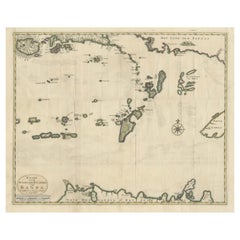
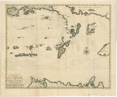
Old Antique Map of the Banda Islands (Southeast), Indonesia & Northern Australia
By F. Valentijn
Located in Langweer, NL
Important map of the seas and islands surrounding the Banda Islands, Indonesia, extending south to northern Australia, east to Papua New Guinea and north to Ceram.
Paper
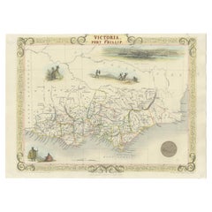

Antique Map of Victoria, or Port Phillip in Australia, ca. 1850
Located in Langweer, NL
This antique map, measuring approximately 12.7 x 10.0 inches, showcases Victoria, specifically centered around Melbourne, Australia.
Paper
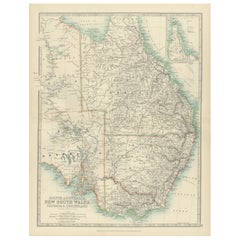

Antique Map of South Australia, New South Wales, Victoria and Queensland, 1903
Located in Langweer, NL
Title: Antique Map of South Australia, New South Wales, Victoria, and Queensland, 1903 Description: This antique map, titled "South Australia, New South Wales, Victoria, and Queensl...
Paper
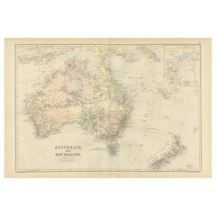

1882 Map of Australia and New Zealand with Regional and Geographical Features
Located in Langweer, NL
The map highlights Australia’s vast expanse, including its colonies of the time, such as New South Wales, Queensland, Victoria, Western Australia, South Australia, and Tasmania (then...
Paper
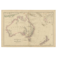
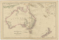
Antique Map of Australia and New Zealand by W. G. Blackie, 1859
Located in Langweer, NL
Antique map titled 'Australia and New Zealand'. Original antique map of Australia and New Zealand with inset map of the Torres Strait.
Paper
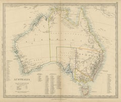
Antique Map of Australia with the 1855 Population Table and County Lists, 1858
Located in Langweer, NL
Original antique map of Australia, a steel engraving colored by hand, with the lettered title "AUSTRALIA".
Paper
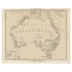

Detailed German Map of Australia Including Statistics of 1841, Published in 1854
Located in Langweer, NL
This demographic information provides insight into the human geography of the time. The map also honors the history of exploration and discovery in Australia, with notes referencing...
Paper
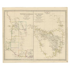

Antique Map of Western Australia and Van Diemen's Land or Tasmania, 1833
Located in Langweer, NL
Antique map of Australia titled 'Western Australia - Van-Diemen Island'.
Paper
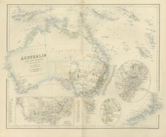
Antique Map of Australia and New Zealand with Mount Alexander Inset, circa 1860
Located in Langweer, NL
Across the interior are lettered "WESTERN AUSTRALIA", "NORTH AUSTRALIA", "SOUTH AUSTRALIA" and "NEW SOUTH WALES"; the coasts and boundaries are colored by hand.
Paper

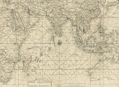
Antique Map of South East Asia, Australia and the Indian Ocean, 1726
By F. Valentijn
Located in Langweer, NL
Antique map titled 'Tabula Indiae Orientalis'. Beautiful detailed map of Australia, Southeast Asia and the Indian Ocean.
Paper
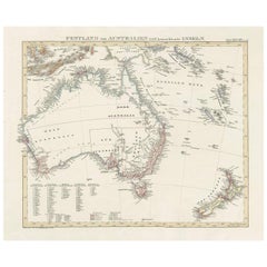

Antique Map of Australia and surrounding Islands by F. von Stülpnagel, 1850
Located in Langweer, NL
Map showing Australia, New Zealand, Southern New-Guinea and surrounding islands.
Paper
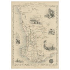
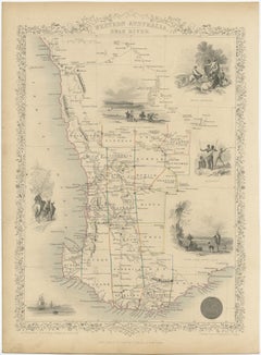
Map of Western Australia & Swan River, insets of Perth, Aboriginals, Sheep, 1851
Located in Langweer, NL
Antique map titled 'Western Australia, Swan River'. Map of Western Australia and Swan River, surrounded by illustrations of Perth, Aborigines and sheep shearing.
Paper
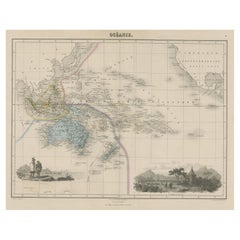
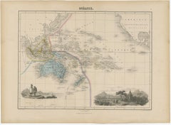
Old Map of the Oceans Around Australia, Indonesia and New Zealand, 1880
Located in Langweer, NL
Antique map titled 'Océanie'. Old map of the oceans around Australia, Indonesia and New Zealand.
Paper
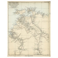

Northern Australia Map with The Routes of Explorers Ringwood and McMinn, 1878
Located in Langweer, NL
Old map of Northern Australia showing the 'new routes' of the exploration of Ringwood and McMinn.
Paper
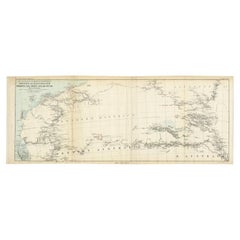
Antique Exploration Map of Australia from Sharks Bay to Alice Springs, 1876
Located in Langweer, NL
Old map of Australia from Sharks Bay to 90 Mile Beach over to Alice Springs.
Paper
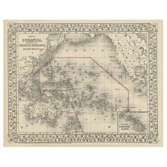
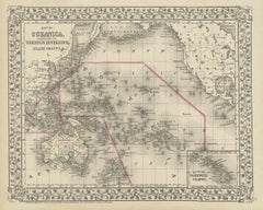
Old Map of the Pacific, Incl Australia, Polynesia, Melanesia and Malaysia, 1872
Located in Langweer, NL
Map of the Pacific, including Australia, Polynesia, Melanesia and Malaysia.
Paper
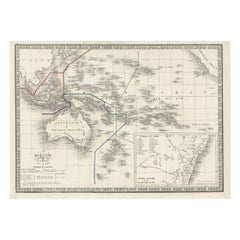
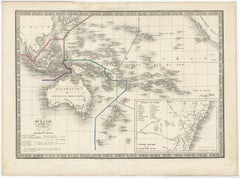
French Antique Map of Oceania with Details of the Australian Colonies, c.1840
Located in Langweer, NL
Antique map Oceania titled 'Océanie par C.V. Monin'. Old map of Oceania with an inset of New South Wales. Originates from 'Atlas Classique de la Géographie Ancienne (..)'. Artists ...
Paper

Unavailable
H 29.14 in W 41.34 in D 1.19 in
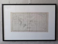
Rare Robert Bénard Map Engraving - South Pacific Australia New Zealand 1774
Located in Malvern, Victoria
Rare Robert Bénard map of the South Pacific, showing Australia and New Zealand Bénard, Robert.

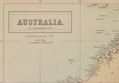
Map of Australia by J. Bartholomew
Located in New York, NY
Detailed lithograph Map of Australia with color-coded regions: Western Australia, North Australia, South Australia, Queensland, and New South Wales.
Lithograph
Unavailable
H 15.36 in W 24.81 in
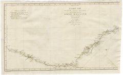
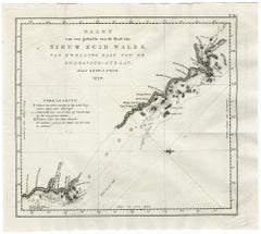
Map of Cooks Strait by C. van Baarsel - Etching / engraving - 18th Century
Located in Zeeland, Noord-Brabant
In this ed. it is supplemented by a newly engraved map showing northeast coast of Australia from Cape York, Endeavour Strait, Endeavour River and Cooktown.
Engraving
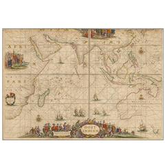
Oost Indien Wassende-Graade Paskaart
By Johannes van Keulen
Located in La Jolla, CA
A hugely desirable map for Western Australia, Southeast Asia and the Indian Ocean generally.
Paper
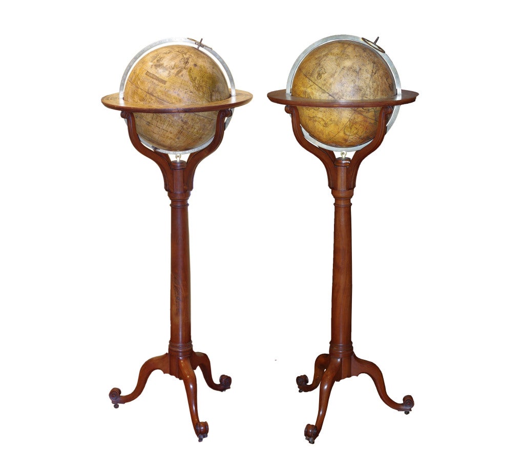
A Pair of Tall Georgian Library Globes
Located in New York, NY
A Cushee 15 inch table globe dated 1713 is in the National Library of Australia (Australia in Maps, 2007, p. 42)
Wood, Papier Mâché, Paper


Antique Map of Oceania by Johnston, c.1865
Located in Langweer, NL
Antique map Australia titled 'Oceania'. Old map of Oceania with insets of Western Australia, Tasmania, the Fiji Islands and the eastern extremity of New Guinea.
Paper

Sold
H 13.78 in W 17.13 in D 0 in
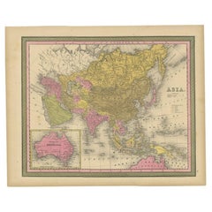
Antique Map of Asia with Decorative Border and Inset Map of Australia, 1849
Located in Langweer, NL
Antique map titled 'Asia'. Original antique map of Asia, with decorative border and inset map of Australia.
Paper
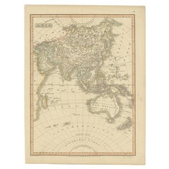
Antique Map of Asia Including Australia 'New Holland', 1808
Located in Langweer, NL
Antique map titled 'Asia'. This map depicts the Asian continent including Australia (New Holland).
Paper

Sold
H 17.92 in W 14.18 in D 0 in
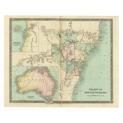
Antique Map of New South Wales Inset Maps of Australia and Swan River, 1831
Located in Langweer, NL
Antique map titled 'Colony of New South Wales'. Map of New South Wales with inset maps of Australia and Swan River.
Paper
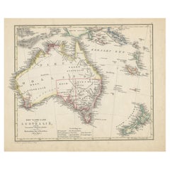
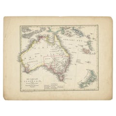
Antique Map of Australia and New Zealand with Dutch Text, 1852
Located in Langweer, NL
Map of Australia. This map originates from 'School-Atlas van alle deelen der Aarde' by Otto Petri.
Paper
Sold
H 8.08 in W 9.65 in D 0 in
Antique French Map of the Pacific Ocean with Australia and Polynesia, 1806
Located in Langweer, NL
Antique map titled 'Australasie et Polynesie'. Old map of Oceania and the Pacific Ocean. Originates from 'Atlas Portatif contenant la Géographie Universelle Ancienne et Moderne' by H...
Paper


Antique Map of Oceania by Johnston (1909)
Located in Langweer, NL
With inset maps of Western Australia, Tasmania, the Fiji Islands and New Guinea.
Paper
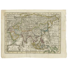

Antique Map of Asia by Keizer & de Lat, 1788
Located in Langweer, NL
Antique map titled 'Kaartje van Asia (..)'. Uncommon original antique map covering all of Asia and the East Indies with the northern part of Australia.
Paper
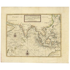
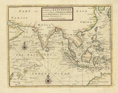
Antique Map of the East Indies by Moll '1745'
Located in Langweer, NL
Detailed map of the Indian Ocean, Southeast Asia, China, Formosa, the Philippines and part of Australia.
Paper
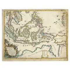
Antique Map of the East Indies by Rossi, 1683
Located in Langweer, NL
Decorative map of Southeast Asia, northern Australia and the islands of Melanesia.
Paper
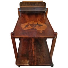
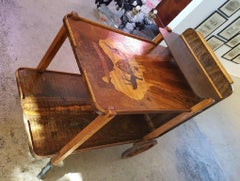
Art Deco Australian Tea Cart
Located in Dallas, TX
Made of burl wood, walnut, tiger and birch with marquetry inlay of map of Australia and Tasmania with Kangaroo and Emu and armorial crest.
Maple, Walnut, Burl
Sold
H 39.77 in W 24.81 in D 0.04 in
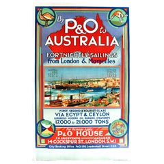
Original 1920s Cruise Ship Poster - By P&O to Australia from London & Marseilles
Located in London, GB
Stunning design featuring a colorful images and stylized text over a map of Australia with an emu and kangaroo at the top, a scene of a busy harbour port town with ships, tugs and sa...
Paper
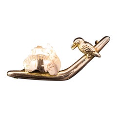
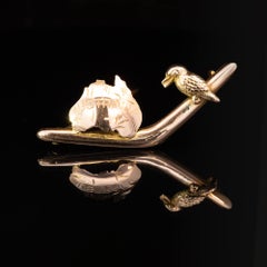
9K Rose Gold Federation Boomerang & Kookaburra Brooch Circa 1901
Located in ADELAIDE, SA
One 9k rose gold boomerang brooch with a map of Australia and a kookaburra. Celebrating the federation of the Australian states.
Rose Gold
Sold
H 35.04 in W 22.45 in D 0.04 in
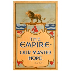
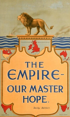
Original Antique Poster British Empire Our Master Hope Britain Stanley Baldwin
Located in London, GB
Original antique poster - The Empire Our Master Hope Stanley Baldwin - featuring a great patriotic design depicting a lion standing on a podium above illustrations of British Empire ...
Paper
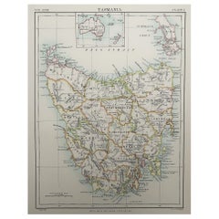

Original Antique Map of Tasmania, Australia, 1889
Located in St Annes, Lancashire
Great map of Tasmania Drawn and Engraved by W. & A.K. Johnston Published By A & C Black, Edinburgh. Original colour Unframed.
Paper
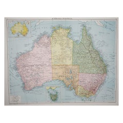

Large Original Vintage Map of Australia, circa 1920
Located in St Annes, Lancashire
Great map of Australia Original color. Good condition Published by Alexander Gross Unframed.
Paper
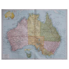

Large Original Vintage Map of Australia, circa 1920
Located in St Annes, Lancashire
Great map of Australia Original color. Good condition Published by Alexander Gross Unframed.
Paper

Large Original Vintage Map of Australia, circa 1920
Located in St Annes, Lancashire
Great map of Australia Original color. Good condition Published by Alexander Gross Unframed.
Paper
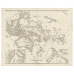

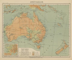
Antique Map of Australia by C. Gräf, 1857
Located in Langweer, NL
Antique map titled 'Australien'. Map of Australia, New Zealand, part of China, Japan and Southeast Asia.
Paper
Sold
H 10.12 in W 12.84 in D 0.01 in
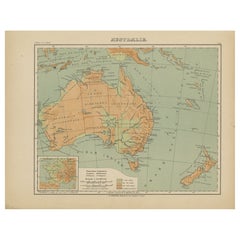
Antique Map of Australia and Oceania – Physical Relief Map by Hachette, c.1883
Located in Langweer, NL
Antique Map of Australia and Oceania – Physical Relief Map by Hachette, c.1883 Description: This antique map titled “Australie” was published circa 1883 by Hachette in Paris as part...
Paper
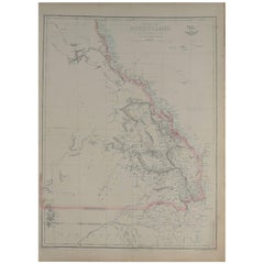

Large Original Antique Map of Queensland, Australia, 1861
Located in St Annes, Lancashire
Great map of Queensland Drawn and engraved by Edward Weller Original color outline Published in The Weekly Dispatch Atlas, 1861 Good condition Unframed. ...
Paper
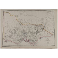

Large Original Antique Map of Victoria, Australia, 1861
Located in St Annes, Lancashire
Great map of Victoria Drawn and engraved by Edward Weller Original color outline Published in The Weekly Dispatch Atlas, 1861 A couple of repairs to some tiny edge tears ...
Paper
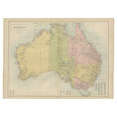

Antique Map of Australia by A & C. Black, 1870
Located in Langweer, NL
Antique map titled 'Australia'. Original antique map of Map of Australia.
Paper
Antique and vintage collectibles and curiosities can bring whimsy and wonder to any interior.
Decorating with old scientific instruments, historical memorabilia and vintage musical instruments, as well as other authentic collectibles and curiosities that can be found on 1stDibs, presents an opportunity to create a unique, natural history museum-like atmosphere in your home that can provoke conversation as often as it pays tribute to how far we’ve come in understanding our world.
And bringing collectibles and curiosities into your space is actually on trend — Wunderkammern, or curiosity cabinets, were all the rage in Europe during the 1500s and continued to have adherents there and in the U.S. in the following centuries. Today, however, they’re experiencing a real surge in popularity and influencing how many interior designers are furnishing and decorating homes — combining contemporary with antique, scientific with tribal, earthly with extraterrestrial, Les Lalanne tables with Flemish tapestries.
The original Wunderkammern were entire rooms filled with objects demonstrating their owners’ worldly knowledge: A proper one included artificiala or preciosa (objets d’art); naturalia (such as skeletons, shells, minerals); exotica (taxidermy or dried plants); and scientifica (scientific instruments), frequently alongside religious relics and ancient artifacts.
Pay tribute to a history of rich and diverse musical traditions that have taken shape all over the world by decorating your home with a collection of antique and vintage musical instruments — with a little help from strong hanging wire or some wall hooks, vintage brass instruments such as a gong, French horn or trumpet can help elevate a home office or complement the efforts you’ve made to ensure a welcoming vibe in your home’s entryway. Bells or antique wind instruments can add provocative metallic contrasts to dark woods as tabletop decorative objects.
Create an intriguing focal point with Georgian scientific instruments, such as stick barometers with mahogany cases or lacquered brass telescopes. These items stem from an era named for the monarchies of the four King Georges, who ruled England in succession starting in 1714 (plus King William’s reign, which lasted until 1837). Just as there was beautiful jewelry produced during the period that today is coveted by collectors, there is much to be found in the collectibles and curiosities realm too.
Wanderlust, nostalgia and a shared love of good design are contributing factors to certain trends in decorating — just as vintage trunks and luggage have reappeared as furniture or home accents in a bedroom or foyer, decorating with globes, maps or nautical objects is similarly rooted in the allure of travel and a penchant for the stylish finishing touch that collectibles bring to our homes.
Find a wide range of antique and vintage collectibles and curiosities on 1stDibs.
It's hard to resist the allure of a beautiful pool. So, go ahead and daydream about whiling away your summer in paradise.
It’s never too early for good design. These interiors combine elevated furnishings and a youthful spirit, resulting in spaces that are at once elegant and whimsical.
Produced in 1843, the well-preserved volume is evidence of the author's exacting specifications.
New or old, the coverlets add old-time charm to any space.
Get into the games! These items celebrate the events, athletes, host countries and sporting spirit.
French trendsetter and serial collector Daniel Rozensztroch tells us about his obsession with objects related to seafaring men.
The sought-after designer worked with the team at Hoffman Creative to produce a monograph that beautifully showcases some of Studio Shamshiri's most inspiring projects.
Italian writer and collector Umberto Pasti opens the doors to his remarkable cave of wonders in North Africa.