Antique Maps Framed

to
104
679
81
400
324
168
155
154
148
93
68
49
46
45
36
36
36
27
14
13
13
11
9
8
8
7
7
6
6
5
5
5
5
4
4
4
4
3
3
3
3
3
3
2
2
2
2
2
1
1
1
45
8
3
3
2
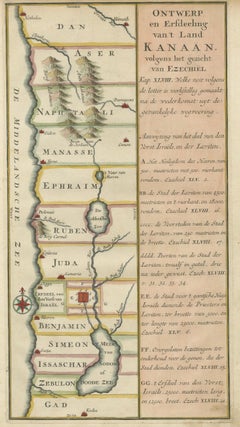
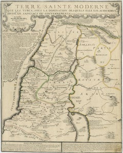
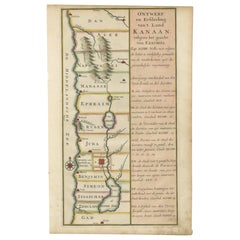
Hand-Colored Dutch Map of Ancient Israel Divided by the Twelve Tribes – c.1730

Hand-Colored Dutch Map of Ancient Israel Divided by the Twelve Tribes – c.1730

Located in Langweer, NL

No tears or repairs, but top margin short cut. Framing suggestion: This map would look elegant in a black or gold wooden frame with a cream or parchment-colored mat.

Category

Early 18th Century Dutch Antique Maps Framed

Materials

Paper

St. Christophe 'St. Kitts' Island: An 18th Century Hand-colored Map by Bellin

St. Christophe 'St. Kitts' Island: An 18th Century Hand-colored Map by Bellin

By Jacques-Nicolas Bellin

Located in Alamo, CA

Lucie framed in lucite, Reference: LU117324370471. These maps would make a striking display grouping.

Category

Mid-18th Century French Antique Maps Framed

Materials

Paper

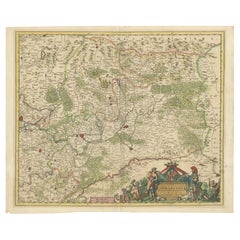
Historic 1690 Map of Lorraine in France by Allard - Cities of Toul, Nancy, Metz

Historic 1690 Map of Lorraine in France by Allard - Cities of Toul, Nancy, Metz

Located in Langweer, NL

The detailed depiction of cities, rivers, and natural landscapes showcases Allard’s dedication to precision and his artistic touch in portraying the region's rich heritage. Condit...

Category

1690s Antique Maps Framed

Materials

Paper

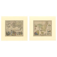
1720 Maps of the Holy Land: Ancient and Modern by De Fer and Danet

1720 Maps of the Holy Land: Ancient and Modern by De Fer and Danet

Located in Langweer, NL

The original outline colors remain vibrant, enhancing the maps’ historical charm. Framing and Matting Tips: For a sophisticated display, frame each map individually with an arch...

Category

1720s Antique Maps Framed

Materials

Paper

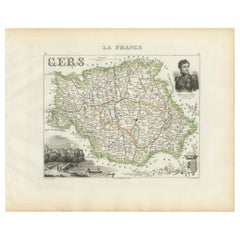
Map of Gers France with Auch and Armagnac Wine Region by Vuillemin, 19th c

Map of Gers France with Auch and Armagnac Wine Region by Vuillemin, 19th c

Located in Langweer, NL

The engraving is crisp, and the original hand-coloring is clear and well-preserved. Framing tips: This map will display beautifully in a classic walnut or dark wood frame.

Category

Mid-19th Century French Antique Maps Framed

Materials

Paper

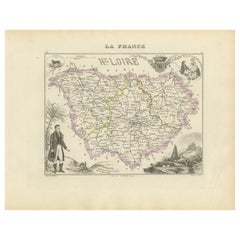
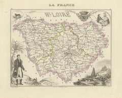
Map of Haute-Loire France with Le Puy-en-Velay by Vuillemin, 19th c

Map of Haute-Loire France with Le Puy-en-Velay by Vuillemin, 19th c

Located in Langweer, NL

The engraving is crisp, and the hand-coloring remains vibrant and clean. Framing tips: This map pairs well with a rustic wood or black frame to reflect the mountainous character of ...

Category

Mid-19th Century French Antique Maps Framed

Materials

Paper

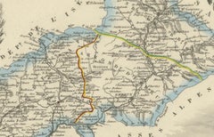
Map of Hautes-Alpes France with Gap and Alpine Scenery by Vuillemin, c.1850

Map of Hautes-Alpes France with Gap and Alpine Scenery by Vuillemin, c.1850

Located in Langweer, NL

Original hand-coloring is well preserved, and all engraved lines remain crisp and clear. Framing tips: This map would suit a natural wood frame or one with a distressed alpine finish.

Category

Mid-19th Century French Antique Maps Framed

Materials

Paper

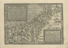
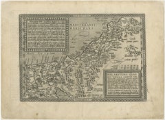
Rare 16th Century Map of the Holy Land and Palestine by Matthias Quad, ca.1599

Rare 16th Century Map of the Holy Land and Palestine by Matthias Quad, ca.1599

Located in Langweer, NL

The engraving remains crisp and clear. Framing tips: This map displays beautifully in a dark walnut or ebonized frame with a generous ivory mat.

Category

16th Century German Antique Maps Framed

Materials

Paper

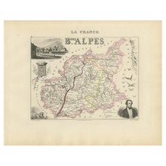
Map of Basses-Alpes France with Digne and Lavender Region by Vuillemin, c.1850

Map of Basses-Alpes France with Digne and Lavender Region by Vuillemin, c.1850

Located in Langweer, NL

The engraved details are sharp and the original hand-coloring remains clean and attractive. Framing tips: This map pairs beautifully with a medium or dark wood frame, or an antique ...

Category

Mid-19th Century French Antique Maps Framed

Materials

Paper

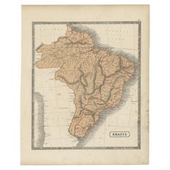
Antique Brazil Map, Sidney Hall Engraving for A & C Black Atlas c.1842–1853

Antique Brazil Map, Sidney Hall Engraving for A & C Black Atlas c.1842–1853

Located in Langweer, NL

Any small imperfections typical of mid-19th century paper and printing. Framing tips: This map presents beautifully in a classic dark walnut or ebonized frame with a warm ivory or ...

Category

Mid-19th Century Antique Maps Framed

Materials

Paper

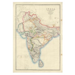
Large Antique Map of India – Post Roads and Dak Stations by James Wyld, c.1855

Large Antique Map of India – Post Roads and Dak Stations by James Wyld, c.1855

Located in Langweer, NL

Strong impression on quality paper with clean detail throughout. Framing tips: This map is best presented in a large traditional frame in dark wood or black with gold accents.

Category

Mid-19th Century English Antique Maps Framed

Materials

Paper

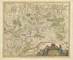
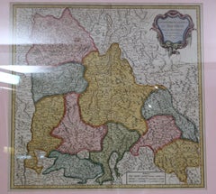
Rare Hand-Colored Map of Lorraine and Barrois, France by Frederik De Wit c. 1688

Rare Hand-Colored Map of Lorraine and Barrois, France by Frederik De Wit c. 1688

Located in Langweer, NL

Please inspect the image closely for further details. Framing and Matting Tips: To enhance its historical charm, consider framing the map with a classic dark wood or gilded frame.

Category

1680s Antique Maps Framed

Materials

Paper

Map of Gard France with Pont du Gard and Wine Regions by Vuillemin, 19th c

Map of Gard France with Pont du Gard and Wine Regions by Vuillemin, 19th c

Located in Langweer, NL

The engraved detail remains sharp and the hand coloring is clean and well-preserved. Framing tips: Frame this map in a natural walnut or classic gold frame to enhance the historic c...

Category

Mid-19th Century French Antique Maps Framed

Materials

Paper

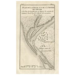
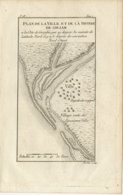
Plan of the Town and River of Ganjam, India – Antique French Map by Portier 1790

Plan of the Town and River of Ganjam, India – Antique French Map by Portier 1790

Located in Langweer, NL

Paper remains strong and supple. Framing tips: This map would present well in a slim black or dark brown frame with a light cream archival mat, enhancing both its clarity and fine l...

Category

Late 18th Century French Antique Maps Framed

Materials

Paper

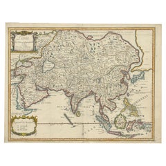
Antique Duval Map of East Asia with China, Japan, Korea and the Great Wall, 1663

Antique Duval Map of East Asia with China, Japan, Korea and the Great Wall, 1663

Located in Langweer, NL

Details remain strong and legible throughout. Framing Tips This map will display beautifully in a classic dark wood, black lacquer, or lightly gilded frame with a wide ivory or warm...

Category

Mid-17th Century French Antique Maps Framed

Materials

Paper

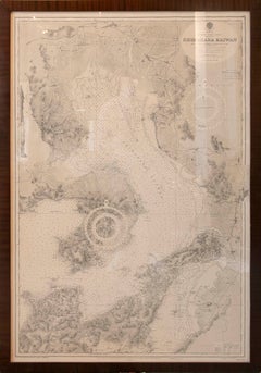
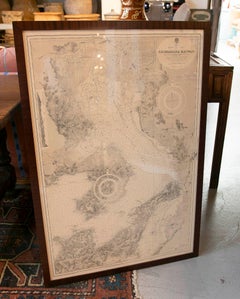
1930s Framed Antique Japanese Nautical Chart Shimabara Kaiwan

1930s Framed Antique Japanese Nautical Chart Shimabara Kaiwan

Located in Marbella, ES

Presented in an elegant dark wood frame, this piece combines cartographic value with decorative appeal, making it ideal for collectors of antique maps, classic interiors, libraries, ...

Category

Early 20th Century Japanese Antique Maps Framed

Materials

Paper

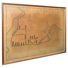
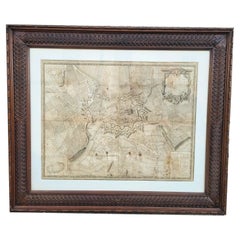
Antique Town Plan, Portsmouth Dockyard, English, Framed Cartography, Victorian

Antique Town Plan, Portsmouth Dockyard, English, Framed Cartography, Victorian

Located in Hele, Devon, GB

Dimensions: Max Width: 67cm (26.5'') Max Depth: 1.5cm (.5'') Max Height: 51.5cm (20.25'') Map Width: 60cm (23.5'') Map Height: 45.5cm (18'')

Category

1850s British Early Victorian Antique Maps Framed

Materials

Glass, Paper

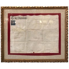
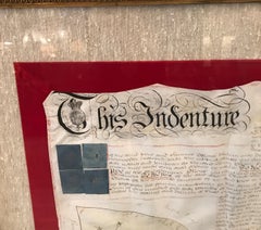
Early 19th Century Original Framed Land Indenture, England, 1810

Early 19th Century Original Framed Land Indenture, England, 1810

Located in Lambertville, NJ

Dated July 13, 1810. The thick giltwood frame from the mid-20th century.

Category

1810s English Regency Antique Maps Framed

Materials

Glass, Giltwood, Parchment Paper

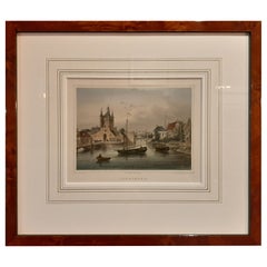
Neatly Framed Decorative Hand-Colored View of Zierikzee, the Netherlands, 1858

Neatly Framed Decorative Hand-Colored View of Zierikzee, the Netherlands, 1858

Located in Langweer, NL

Antique print titled 'Zierikzee'. View of the city of Zierikzee, the Netherlands. This print originates from 'Het koningrijk der Nederlanden voorgesteld in eene reeks van 136 naa...

Category

1850s Antique Maps Framed

Materials

Paper

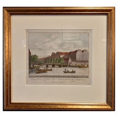
Framed View of the Brouwersgracht in Amsterdam, the Netherlands, 1708

Framed View of the Brouwersgracht in Amsterdam, the Netherlands, 1708

Located in Langweer, NL

Antique print titled 'Societatis Indiae Occident (..) - West Indisch Huys op Raapenburg (..)'. Despite the title suggesting this print is a view of the West-Indisch House in Amst...

Category

Early 1700s Antique Maps Framed

Materials

Paper

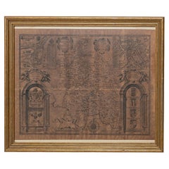
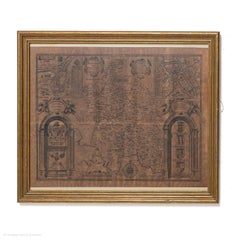
Buckingham Both Shyre and Shire John Speed 1610 Gilded Frame

Buckingham Both Shyre and Shire John Speed 1610 Gilded Frame

Located in BUNGAY, SUFFOLK

Just purchased more information to follow. In unrestored condition, the sheet can be cleaned.

Category

17th Century English Baroque Antique Maps Framed

Materials

Paper

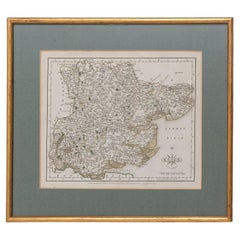
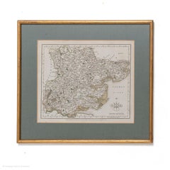
Essex John Cary 1787 Cary's New & Correct English Atlas 40cm 16" long gilt frame

Essex John Cary 1787 Cary's New & Correct English Atlas 40cm 16" long gilt frame

By John Cary

Located in BUNGAY, SUFFOLK

Map of Essex by John Cary Engraver London published as the act directs Sept 1st 1787 by J Cary Engraver Map & Printseller no 188 the corner of Arundel Street Strand Antique engraved ...

Category

18th Century English Georgian Antique Maps Framed

Materials

Paper

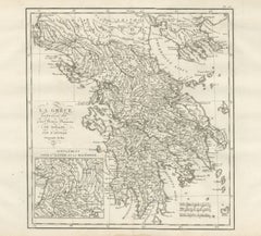
Ancient Greece with an Illyria and Macedonia Inset, d'Anville, 1818

Ancient Greece with an Illyria and Macedonia Inset, d'Anville, 1818

Located in Langweer, NL

In the lower left corner a second map in its own frame carries the country north into Illyria and Macedonia, with Dardania, Paeonia, Pelagonia, Dyrrhachium, Lissus, Scupi, Stobi, Her...

Category

Early 19th Century French Antique Maps Framed

Materials

Paper

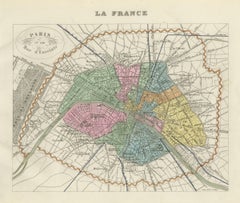
Antique Plan of Paris and its Fortified Enceinte, Vuillemin, circa 1860

Antique Plan of Paris and its Fortified Enceinte, Vuillemin, circa 1860

Located in Langweer, NL

Vuillemin built each sheet from the official surveys, the Cassini maps, the Depot de la Guerre, the Ponts et Chaussees and the charts of the Marine, and then framed the map with engr...

Category

Mid-19th Century French Napoleon III Antique Maps Framed

Materials

Paper

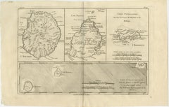
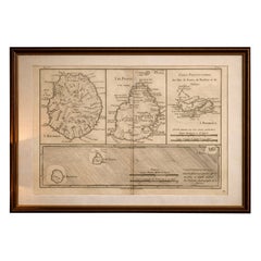
French Indian Ocean Islands – Bourbon, Isle de France & Rodrigues, Bonne c.1780

French Indian Ocean Islands – Bourbon, Isle de France & Rodrigues, Bonne c.1780

Located in Langweer, NL

A dark walnut, ebonized, or antique gilt frame complements the map’s late 18th-century character and works well in both classic studies and contemporary interiors.

Category

Late 18th Century French Antique Maps Framed

Materials

Paper

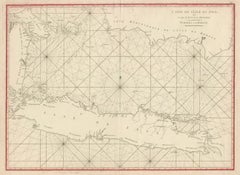
Antique Sea Chart Java Indonesia – Mannevillette Neptune Oriental 1775

Antique Sea Chart Java Indonesia – Mannevillette Neptune Oriental 1775

Located in Langweer, NL

The strong linear design, combined with the complex web of navigational lines, creates a dramatic composition that works exceptionally well as a large framed wall map. Condition: Go...

Category

Late 18th Century Antique Maps Framed

Materials

Paper

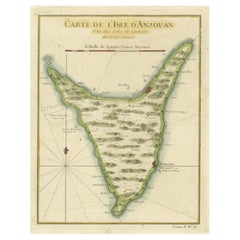
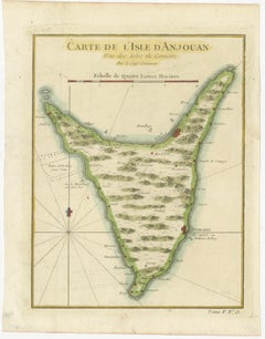
Anjouan Island, Comoros – French Naval Sea Chart by Bellin, c.1765

Anjouan Island, Comoros – French Naval Sea Chart by Bellin, c.1765

Located in Langweer, NL

Plate mark visible. Full margins. Framing tips This map works beautifully with a warm off-white or light sand-colored mat to echo the paper tone.

Category

1760s French Antique Maps Framed

Materials

Paper

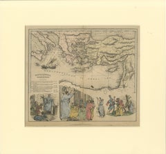
Biblical Journeys: Apostle Paul's Voyages and the Israelites' Exodus, 1856

Biblical Journeys: Apostle Paul's Voyages and the Israelites' Exodus, 1856

Located in Langweer, NL

Biblical scenes frame the map, depicting events such as Moses parting the Red Sea, the Golden Calf, and the Ark of the Covenant.

Category

1850s Antique Maps Framed

Materials

Paper

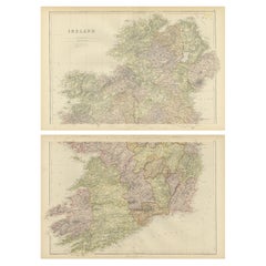
1882 Cartographic Views of Ireland's North and South Regions

1882 Cartographic Views of Ireland's North and South Regions

Located in Langweer, NL

The printed details remain sharp and legible, and the original coloring, used to delineate counties and provinces, is vibrant and well-preserved. Tips on How to Frame These Maps: 1...

Category

1880s Antique Maps Framed

Materials

Paper

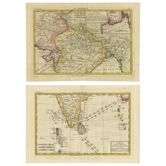
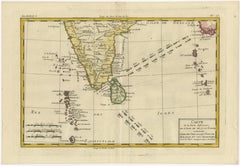
18th Century Cartographic Depiction of Upper India and Ceylon, 1835

18th Century Cartographic Depiction of Upper India and Ceylon, 1835

Located in Langweer, NL

Once framed together, they transform into a singular, magnificent panorama that is both a collector's delight and a statement piece for any discerning connoisseur of historical maps.

Category

1830s French Antique Maps Framed

Materials

Paper

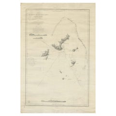
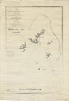
Large Chart of the Gambier Islands, Tuamotu Archipelago, French Polynesia, 1838

Large Chart of the Gambier Islands, Tuamotu Archipelago, French Polynesia, 1838

Located in Langweer, NL

Overall a clean and attractive example. Framing tips: This map benefits from a wide ivory or soft off-white mat to emphasize its generous margins and delicate engraving.

Category

Mid-19th Century French Antique Maps Framed

Materials

Paper

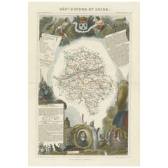
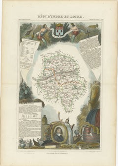
Mapping History: The Decorative Cartography of Indre-et-Loire by Levasseur, 1856

Mapping History: The Decorative Cartography of Indre-et-Loire by Levasseur, 1856

Located in Langweer, NL

The map's wide margins are characteristic of the period's presentation style, offering space for additional annotations or simply serving to frame the map aesthetically when displayed.

Category

1850s Antique Maps Framed

Materials

Paper

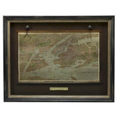
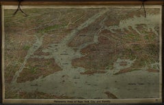
1912 "Panoramic View of New York City and Vicinity" by Jacob Ruppert

1912 "Panoramic View of New York City and Vicinity" by Jacob Ruppert

Located in Colorado Springs, CO

Archivally framed. Map is mounted hanging in front of acid-free linen matting in a custom black and brushed gold wooden frame.

Category

1910s American Antique Maps Framed

Materials

Paper

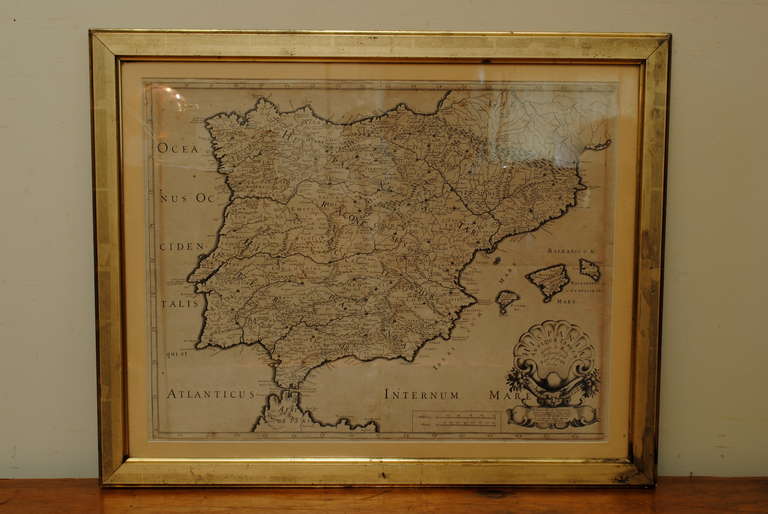
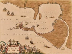
17th Century Lithograph Framed Map of Spain

17th Century Lithograph Framed Map of Spain

Located in Atlanta, GA

In giltwood frame, dated 1652.       

Category

18th Century and Earlier Spanish Baroque Antique Maps Framed

Materials

Ink, Paper

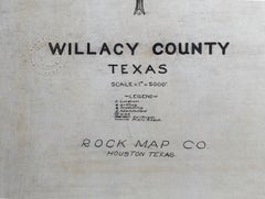
TEXAS WILLACY COUNTY MAP TEXAS AREA 1870s-1910 ORIGINAL HAND DRAWN

TEXAS WILLACY COUNTY MAP TEXAS AREA 1870s-1910 ORIGINAL HAND DRAWN

Located in San Antonio, TX

Texas County Maps 1870s-1910 Image Size: 30.25 x 59.5 Frame Size: 32.75 x 62 Circa late 1800s Early 1900s "Willacy County" Early original hand drawn Texas County Maps (1870s-1910) Ab...

Category

Early 1900s Realist Antique Maps Framed

Materials

Ink

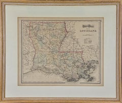
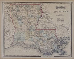
Louisiana: A Framed 19th Century Map by O.W. Gray

Louisiana: A Framed 19th Century Map by O.W. Gray

Located in Alamo, CA

Gray (1829-1912) was a Civil and Topographical Engineer who became a cartographer and map atlas publisher. The map is presented in a light brown distressed bleached wood frame with ...

Category

1870s Antique Maps Framed

Materials

Engraving

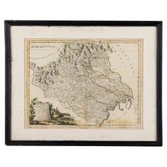
19th Century Italian Neoclassical Framed Regional Map Print

19th Century Italian Neoclassical Framed Regional Map Print

Located in Queens, NY

Italian Neo-classic style print of a regional map of Italy in a black painted wooden frame.

Category

19th Century Italian Neoclassical Antique Maps Framed

Materials

Paint

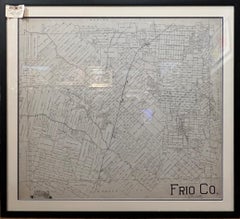
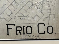
TEXAS FRIO COUNTY MAP PEARSALL TEXAS AREA 1870S-1910 ORIGINAL HAND DRAWN

TEXAS FRIO COUNTY MAP PEARSALL TEXAS AREA 1870S-1910 ORIGINAL HAND DRAWN

Located in San Antonio, TX

Texas County Maps 1870s-1910 Image Size: 37 x 40 Frame Size: 43 x 47 Medium: Original Hand Drawn Ink "Frio County" Texas County Map Early original hand drawn Texas County Maps (1870s...

Category

Early 1900s Realist Antique Maps Framed

Materials

Ink

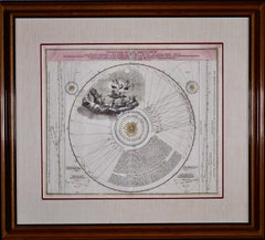
Theories of Planetary Motion: An 18th C. Framed Celestial Map by Doppelmayr

Theories of Planetary Motion: An 18th C. Framed Celestial Map by Doppelmayr

By Johann Gabriel Doppelmayr 1

Located in Alamo, CA

Text within the print explain Kepler's theories, as well as Ismael Bullialdus, Seth Ward, and Nicolaus Mercator. This framed 18th century double page hand-colored engraved celestia...

Category

Early 18th Century Antique Maps Framed

Materials

Engraving

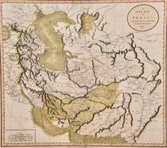
Persia & Afghanistan: A Framed Hand-colored 17th Century Map by John Cary

Persia & Afghanistan: A Framed Hand-colored 17th Century Map by John Cary

By John Cary

Located in Alamo, CA

Portions of modern-day Saudia Arabia, Qatar and Pakistan are included. This hand-colored map is presented in a brown wood frame with a gold inner trim and a light tan mat.

Category

Early 19th Century Old Masters Antique Maps Framed

Materials

Engraving

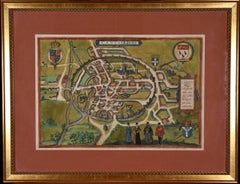
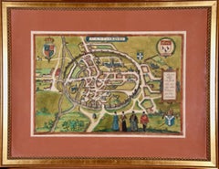
Canterbury: An Original 16th C. Framed Hand-colored Map by Braun & Hogenberg

Canterbury: An Original 16th C. Framed Hand-colored Map by Braun & Hogenberg

By Franz Hogenberg

Located in Alamo, CA

This beautifully hand-colored map is presented in a gold-colored wood frame with a beaded inner trim and a paprika-colored mat that highlights details in the map.

Category

16th Century Old Masters Antique Maps Framed

Materials

Engraving

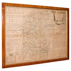
Large Antique Wiltshire Map, County Cartography, Framed, English, 18th Century

Large Antique Wiltshire Map, County Cartography, Framed, English, 18th Century

Located in Hele, Devon, GB

This is an antique county map of Wiltshire. An English, framed atlas engraving of cartographic interest By Emmanuel Bowen, dating to the mid 18th century and later.

Category

1750s British Georgian Antique Maps Framed

Materials

Glass, Paper

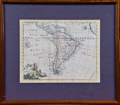
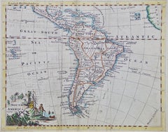
A Hand Colored 18th Century Framed Map of South America by Thomas Jefferys

A Hand Colored 18th Century Framed Map of South America by Thomas Jefferys

Located in Alamo, CA

One man sitting on a large rock motions to a standing man (perhaps the leader of the exploration or ship captain) to join him in exploring further inland. This map is presented in a...

Category

Mid-18th Century Other Art Style Antique Maps Framed

Materials

Engraving

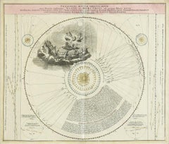
The Orbits of Venus and Mercury: An 18th C. Framed Celestial Map by Doppelmayr

The Orbits of Venus and Mercury: An 18th C. Framed Celestial Map by Doppelmayr

By Johann Gabriel Doppelmayr 1

Located in Alamo, CA

Zodiac symbols, including Leo and Cancer, are depicted above the vignette. This framed 18th century double page hand-colored engraved celestial map is printed on chain-linked laid p...

Category

Early 18th Century Antique Maps Framed

Materials

Engraving

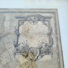
Map Of The City Of Geneva, Framed Engraving, Late 18th Century

Map Of The City Of Geneva, Framed Engraving, Late 18th Century

Located in MARSEILLE, FR

Engraving under glass, framed in a very beautiful 19th century frame in very richly carved wood Late 18th century engraving, as is, with tears, folds, stains and foxing Not exa...

Category

Late 18th Century Swiss Louis XV Antique Maps Framed

Materials

Paper

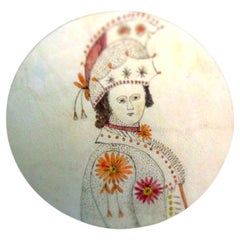
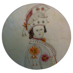
Early Folk Art American Two Sided Framed Military Drawing with Map

Early Folk Art American Two Sided Framed Military Drawing with Map

Located in Savannah, GA

They are framed with glass in a two-sided wooden frame. The side with the man is matted.

Category

Late 18th Century American Folk Art Antique Maps Framed

Materials

Glass, Wood, Paper

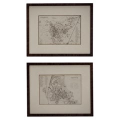
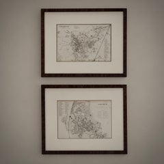
Mid 19th Century Pair of Framed English Maps of Oxford and Cambridge

Mid 19th Century Pair of Framed English Maps of Oxford and Cambridge

Located in Los Angeles, CA

This pair of maps featuring Oxford and Cambridge is beautifully preserved in custom black wood frames. These hand-drawn maps showcase exquisite lettering and a remarkable level of de...

Category

19th Century English Victorian Antique Maps Framed

Materials

Wood, Paper

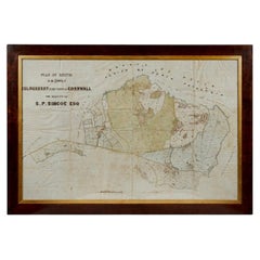
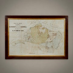
Antique Framed Pen and Ink on Fabric Map of Cornwall from Early 19th Century

Antique Framed Pen and Ink on Fabric Map of Cornwall from Early 19th Century

Located in Los Angeles, CA

This English fabric map of Cornwall, rendered in pen-and-ink, showcases exquisite hand-drawn details and charming faded sepia tones.

Category

Early 19th Century English Antique Maps Framed

Materials

Fabric, Walnut

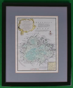
Map Of The Island Of Antigua

Map Of The Island Of Antigua

Located in Bristol, CT

Classic colour plate depicting a 'Map of the Island of Antigua' by Eman Bowen Print Sz: 13 1/2"H x 10"W Frame Sz: 20"H x 16 1/2"W w/ grey mat & green lacquer frame Emanuel Bowen ...

Category

19th Century Antique Maps Framed

Materials

Lithograph

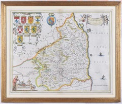
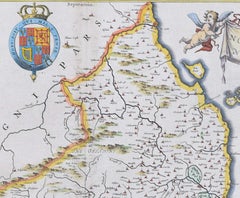
Map of Northumberland by Joan Blaeu

Map of Northumberland by Joan Blaeu

By Joan (Johannes) Blaeu

Located in London, GB

To see our other original maps, scroll down to "More from this Seller" and below it click on "See all from this Seller" - or send us a message if you cannot find the poster you want....

Category

1660s Antique Maps Framed

Materials

Engraving

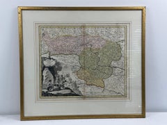
18th-century Antique Map of Austria and Slovenia

18th-century Antique Map of Austria and Slovenia

By Christoph Weigel

Located in Wilton Manors, FL

Christoph Weigel (1654-1725) Map of Austria and Slovenia, 1719. Hand-colored engraving on laid paper.

Category

1710s Antique Maps Framed

Materials

Engraving

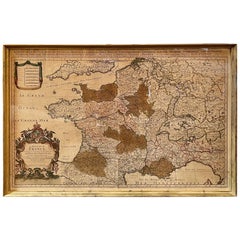
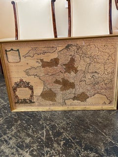
Antique Map of France

Antique Map of France

Located in Dallas, TX

Nice antique map of France in wood frame. This would make a great gift for a collector.

Category

Early 20th Century Antique Maps Framed

Materials

Glass, Wood, Paper

  • 1
  • ...
Get Updated with New Arrivals
Save "Antique Maps Framed", and we’ll notify you when there are new listings in this category.

Antique Maps Framed For Sale on 1stDibs

At 1stDibs, there are many versions of the ideal antique maps framed for your home. Each antique maps framed for sale was constructed with extraordinary care, often using paper, wood and glass. Your living room may not be complete without an antique maps framed — find older editions for sale from the 18th Century and newer versions made as recently as the 20th Century. Each antique maps framed bearing Neoclassical, Mid-Century Modern or Victorian hallmarks is very popular. George F. Cram, Herman Moll and Townsend MacCoun each produced at least one beautiful antique maps framed that is worth considering.

Finding the Right Collectibles-curiosities for You

Antique and vintage collectibles and curiosities can bring whimsy and wonder to any interior. 

Decorating with old scientific instruments, historical memorabilia and vintage musical instruments, as well as other authentic collectibles and curiosities that can be found on 1stDibs, presents an opportunity to create a unique, natural history museum-like atmosphere in your home that can provoke conversation as often as it pays tribute to how far we’ve come in understanding our world. 

And bringing collectibles and curiosities into your space is actually on trend — Wunderkammern, or curiosity cabinets, were all the rage in Europe during the 1500s and continued to have adherents there and in the U.S. in the following centuries. Today, however, they’re experiencing a real surge in popularity and influencing how many interior designers are furnishing and decorating homes — combining contemporary with antique, scientific with tribal, earthly with extraterrestrial, Les Lalanne tables with Flemish tapestries.

The original Wunderkammern were entire rooms filled with objects demonstrating their owners’ worldly knowledge: A proper one included artificiala or preciosa (objets d’art); naturalia (such as skeletons, shells, minerals); exotica (taxidermy or dried plants); and scientifica (scientific instruments), frequently alongside religious relics and ancient artifacts.

Pay tribute to a history of rich and diverse musical traditions that have taken shape all over the world by decorating your home with a collection of antique and vintage musical instruments — with a little help from strong hanging wire or some wall hooks, vintage brass instruments such as a gong, French horn or trumpet can help elevate a home office or complement the efforts you’ve made to ensure a welcoming vibe in your home’s entryway. Bells or antique wind instruments can add provocative metallic contrasts to dark woods as tabletop decorative objects.  

Create an intriguing focal point with Georgian scientific instruments, such as stick barometers with mahogany cases or lacquered brass telescopes. These items stem from an era named for the monarchies of the four King Georges, who ruled England in succession starting in 1714 (plus King William’s reign, which lasted until 1837). Just as there was beautiful jewelry produced during the period that today is coveted by collectors, there is much to be found in the collectibles and curiosities realm too.

Wanderlust, nostalgia and a shared love of good design are contributing factors to certain trends in decorating — just as vintage trunks and luggage have reappeared as furniture or home accents in a bedroom or foyer, decorating with globes, maps or nautical objects is similarly rooted in the allure of travel and a penchant for the stylish finishing touch that collectibles bring to our homes.

Find a wide range of antique and vintage collectibles and curiosities on 1stDibs.
Questions About Antique Maps Framed

  • 1stDibs ExpertAugust 17, 2021
    Antique picture frames can be very valuable, particularly if they are older and have maintained their high quality. Some designs are considered classically attractive and are more valuable even if they are not as old.
    1stDibs ExpertAugust 24, 2021
    Yes, antique picture frames are considered valuable. They are regarded as high-value collectibles and can often be seen in exhibits without canvases, as art pieces on their own. Made of wood traditionally, antique picture frames remain very popular owing to their ability to be shaped in varied profiles. You can choose from a wide variety of antique picture frames, including designs in antique and vintage, new and contemporary, and 21st century pre-owned styles on 1stDibs.

Read More