
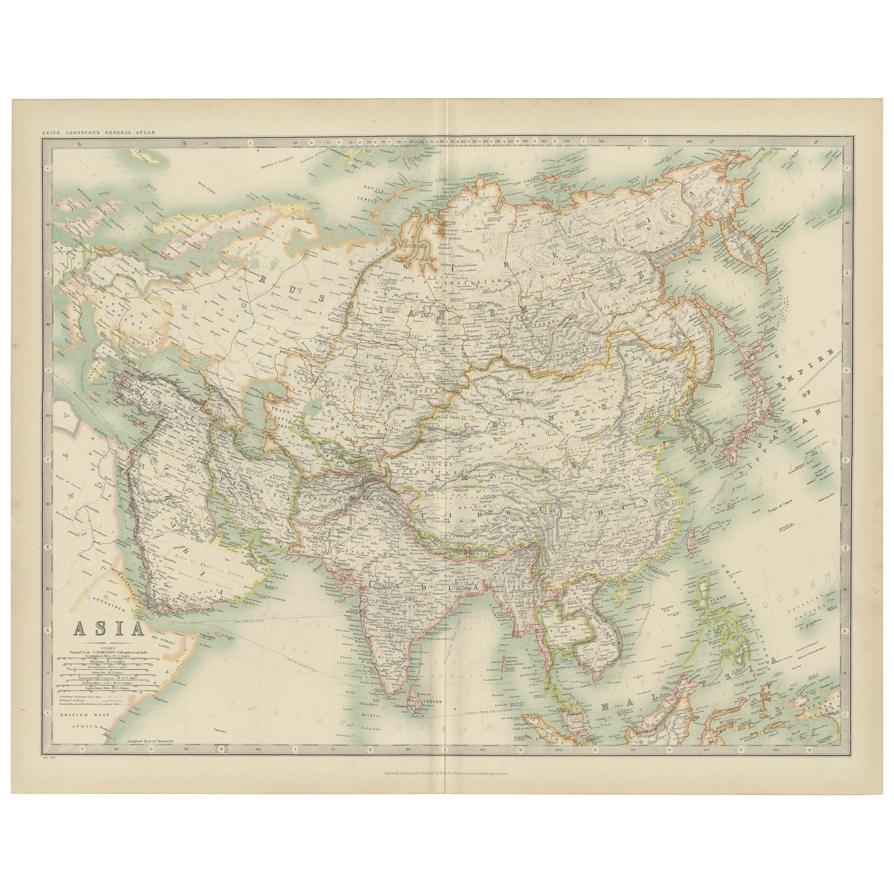
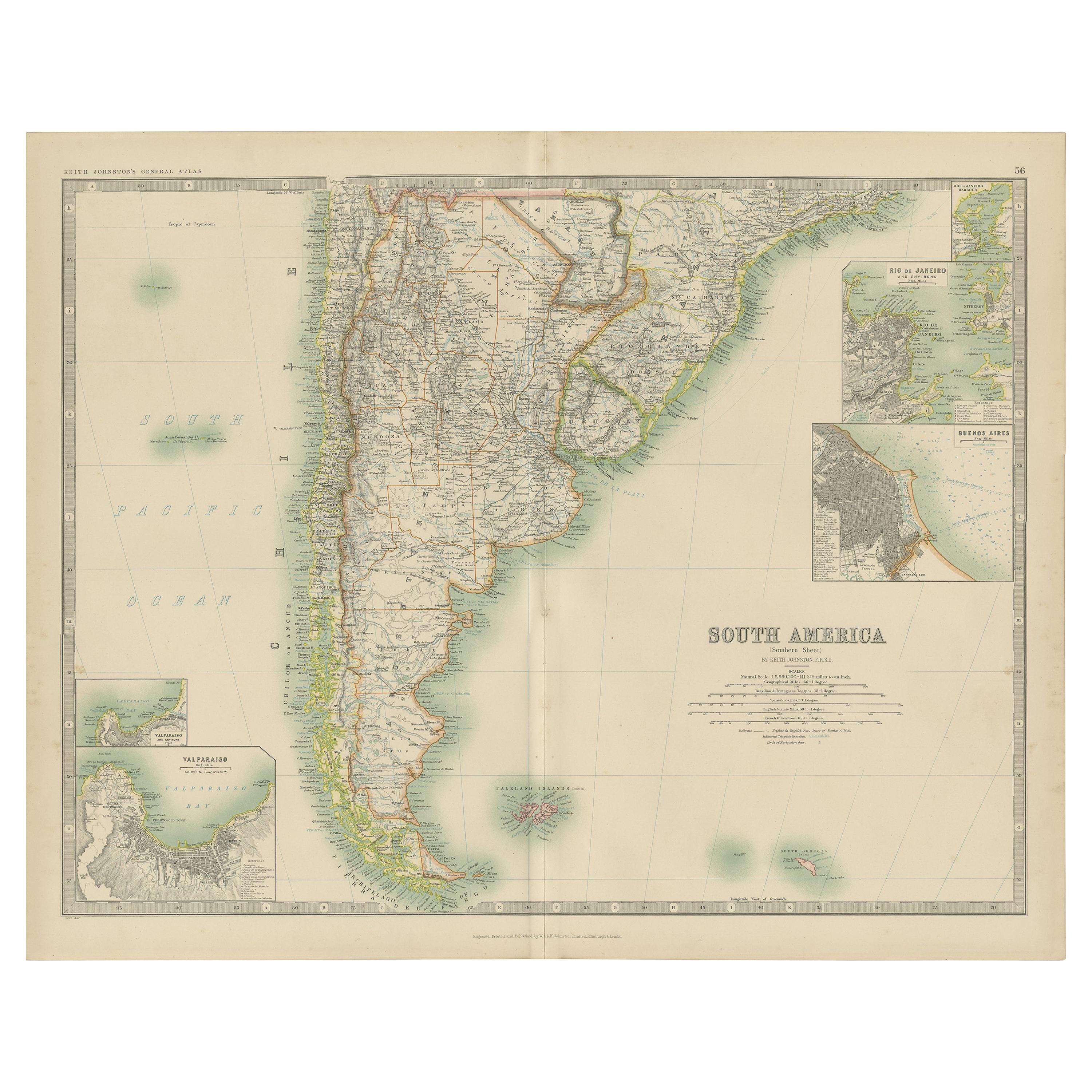
Antique Map of China by Johnston, '1909'
View Similar Items


Want more images or videos?
Request additional images or videos from the seller
1 of 5
Antique Map of China by Johnston, '1909'
About the Item
- Dimensions:Height: 19.49 in (49.5 cm)Width: 24.41 in (62 cm)Depth: 0.02 in (0.5 mm)
- Materials and Techniques:
- Period:
- Date of Manufacture:1909
- Condition:Minor fading. General age-related toning, some foxing. Please study image carefully.
- Seller Location:Langweer, NL
- Reference Number:Seller: BG-12940-351stDibs: LU3054324698932
About the Seller
5.0
Platinum Seller
These expertly vetted sellers are 1stDibs' most experienced sellers and are rated highest by our customers.
Established in 2009
1stDibs seller since 2017
1,933 sales on 1stDibs
More From This SellerView All
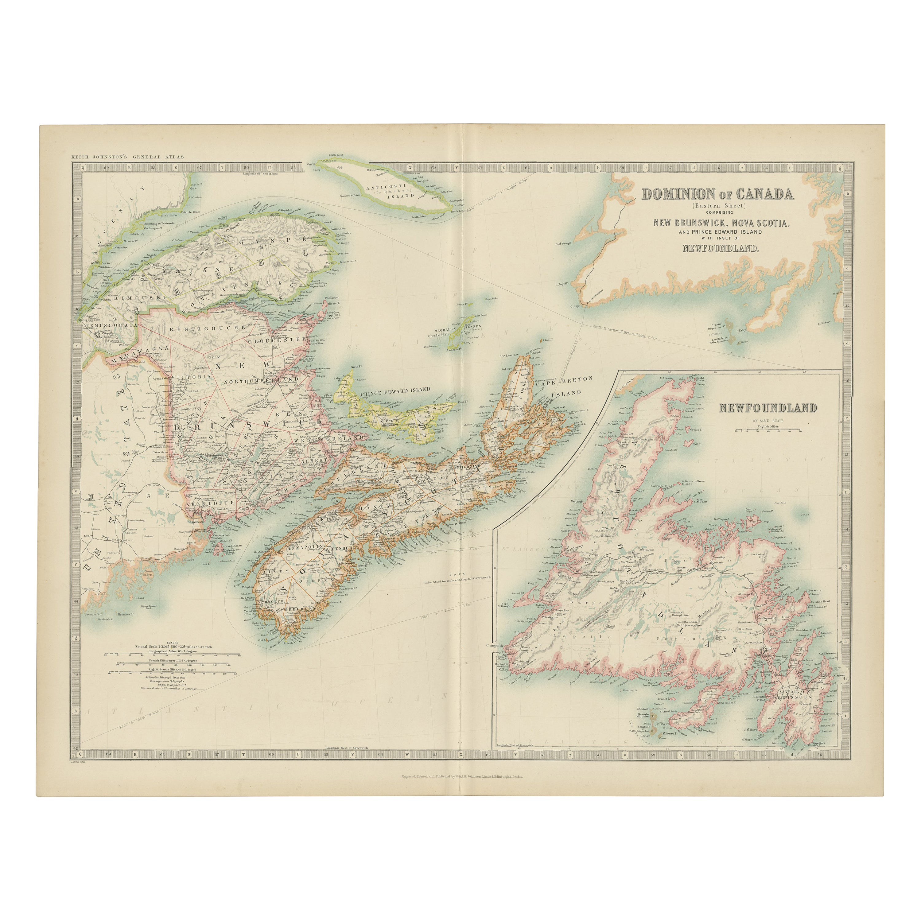
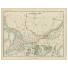
- Antique Map of Canada by Johnston '1909'Located in Langweer, NLAntique map titled 'Dominion of Canada'. Original antique map of Canada. With inset maps of Niagara, Montreal, Quebec. This map originates from t...Category
Early 20th Century Maps
MaterialsPaper
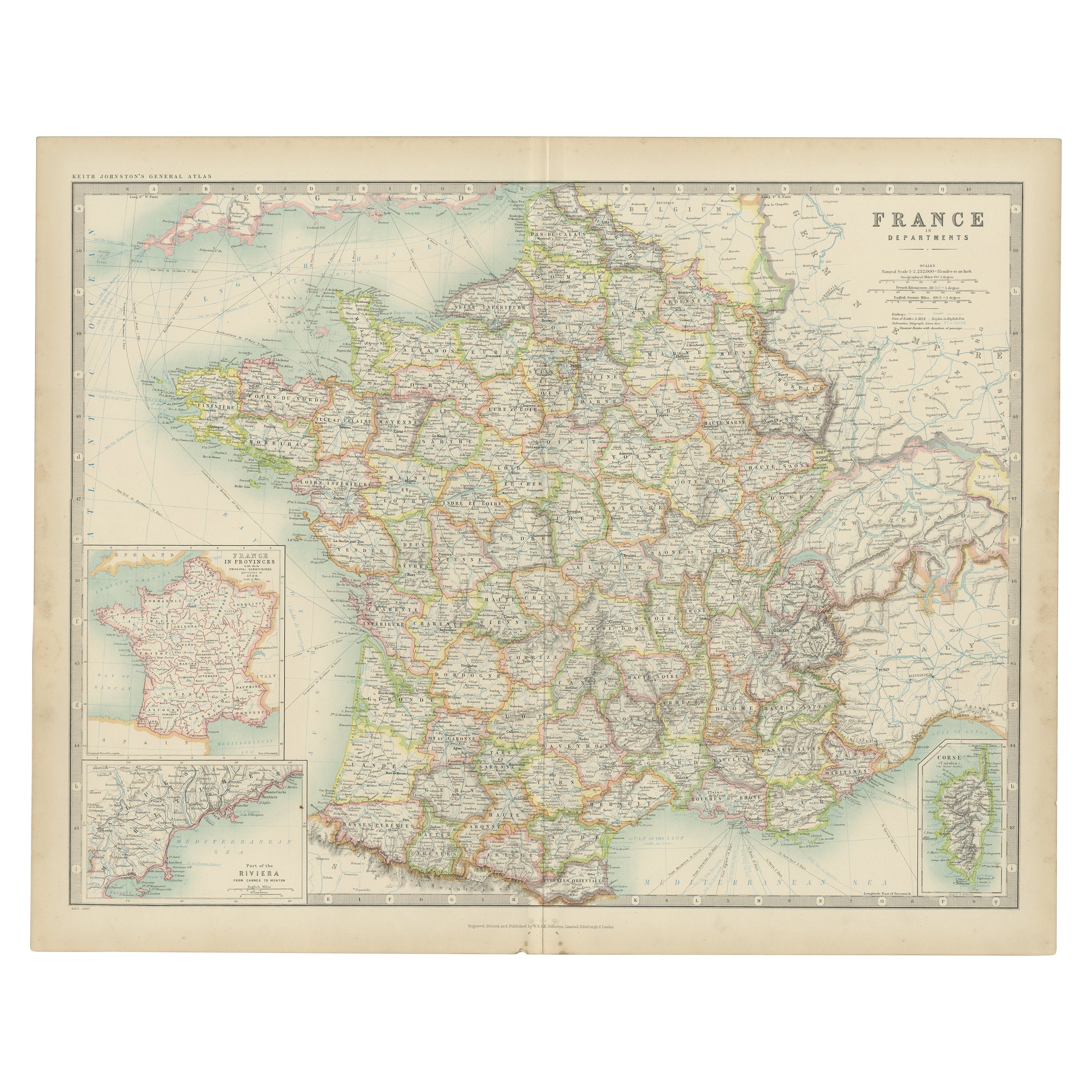
- Antique Map of France by Johnston (1909)Located in Langweer, NLAntique map titled 'France'. Original antique map of France. With inset maps of France in provinces, part of the Riviera and Corsica. This map or...Category
Early 20th Century Maps
MaterialsPaper
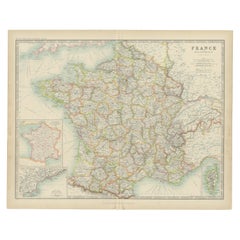 $219 Sale Price20% Off
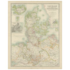
 - Antique Map of Denmark by Johnston '1909'Located in Langweer, NLAntique map titled 'Denmark'. Original antique map of Denmark. With inset maps of Iceland, Faroe Island, and Copenhagen. This map originates from the ‘Royal Atlas of Modern Geography...Category
Early 20th Century Maps
MaterialsPaper
- Antique Map of Canada by Johnston '1909'Located in Langweer, NLAntique map titled 'Dominion of Canada'. Original antique map of Canada. With inset map of Newfoundland. This map originates from the ‘Royal Atla...Category
Early 20th Century Maps
MaterialsPaper
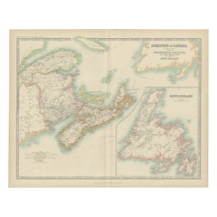 $219 Sale Price20% Off
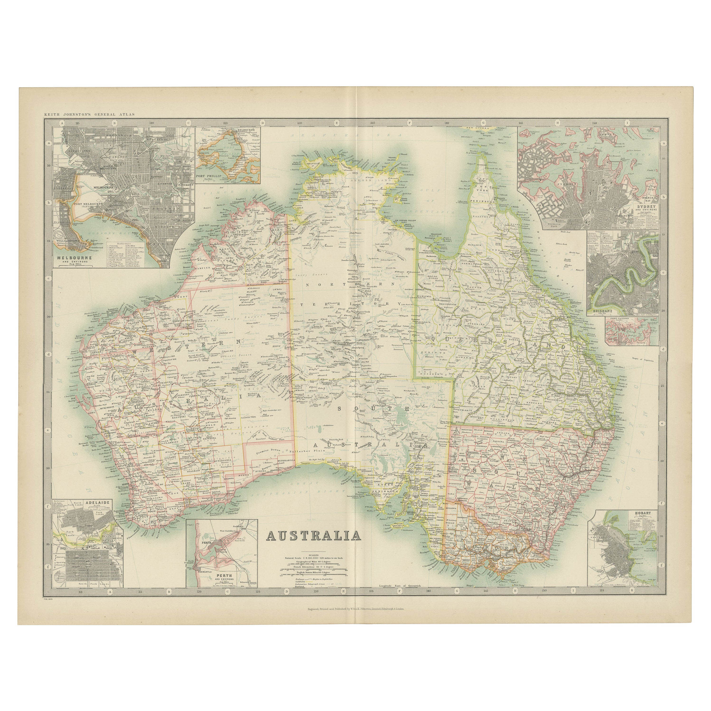
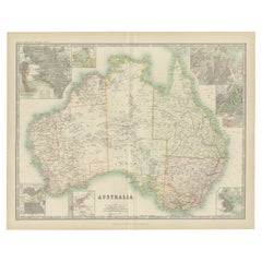
 - Antique Map of Australia by Johnston '1909'Located in Langweer, NLAntique map titled 'Australia'. Original antique map of Australia. With inset maps of Melbourne, Port Phillip, Adelaide, Perth, Sydney, Brisba...Category
Early 20th Century Maps
MaterialsPaper
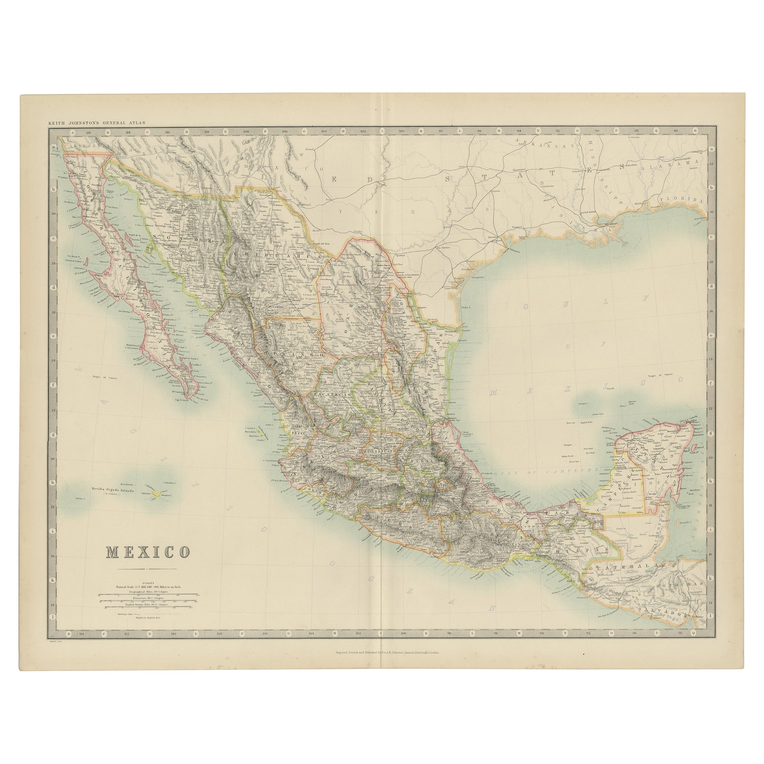
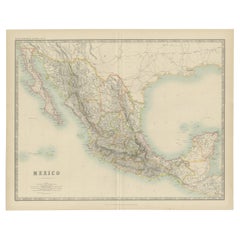
- Antique Map of Mexico by Johnston, '1909'Located in Langweer, NLAntique map titled 'Mexico'. Original antique map of Mexico. This map originates from the ‘Royal Atlas of Modern Geography’. Published by W. & A....Category
Early 20th Century Maps
MaterialsPaper
You May Also Like
- Original Antique Map of China, Arrowsmith, 1820Located in St Annes, LancashireGreat map of China Drawn under the direction of Arrowsmith Copper-plate engraving Published by Longman, Hurst, Rees, Orme and Brown, 1820 Unfr...Category
Antique 1820s English Maps
MaterialsPaper

- Antique Map of Italy by Andriveau-Goujon, 1843By Andriveau-GoujonLocated in New York, NYAntique Map of Italy by Andriveau-Goujon, 1843. Map of Italy in two parts by Andriveau-Goujon for the Library of Prince Carini at Palazzo Carini i...Category
Antique 1840s French Maps
MaterialsLinen, Paper
 $3,350 / set
 - Antique Map of Principality of MonacoBy Antonio Vallardi EditoreLocated in Alessandria, PiemonteST/619 - "Old Geographical Atlas of Italy - Topographic map of ex-Principality of Monaco" - ediz Vallardi - Milano - A somewhat special edition ---Category
Antique Late 19th Century Italian Other Prints
MaterialsPaper
 $228 Sale Price74% Off
 - Original Antique Map of Russia By Arrowsmith. 1820Located in St Annes, LancashireGreat map of Russia Drawn under the direction of Arrowsmith Copper-plate engraving Published by Longman, Hurst, Rees, Orme and Brown, 1820 Unframed.Category
Antique 1820s English Maps
MaterialsPaper

- Original Antique Map of Sweden, Engraved by Barlow, 1806Located in St Annes, LancashireGreat map of Sweden Copper-plate engraving by Barlow Published by Brightly & Kinnersly, Bungay, Suffolk. 1806 Unframed.Category
Antique Early 1800s English Maps
MaterialsPaper
- Original Antique Map of Belgium by Tallis, Circa 1850Located in St Annes, LancashireGreat map of Belgium Steel engraving Many lovely vignettes Published by London Printing & Publishing Co. ( Formerly Tallis ), C.1850 Origin...Category
Antique 1850s English Maps
MaterialsPaper


Recently Viewed
View AllMore Ways To Browse
Map Netherlands
Old World Maps
Old Map World
Old Maps Of World
16th Century Dutch
Texas Antique
Orient Antique
Used House Windows
World Map Vintage Maps
World Map Vintage Map
Antique Maps Of Islands
18th Russian
Antique Geographical Maps
Antique Maps Of Holland
B C Antiques
Antique Map America
Antique American Maps
Antique American Map