Items Similar to Antique 18th Century Map of the Province of Pensilvania 'Pennsylvania State'


Want more images or videos?
Request additional images or videos from the seller
1 of 12
Antique 18th Century Map of the Province of Pensilvania 'Pennsylvania State'
About the Item
A fine antique of the colony of Pennsylvania.
Noted at the top of the sheet as a 'Map of the province of Pensilvania'.
This undated and anonymous map is thought to be from the Gentleman's Magazine, London, circa 1775, although the general appearance could date it to the 1760's.
The southern boundary reflects the Mason-Dixon survey (1768), the western boundary is placed just west of Pittsburgh, and the northern boundary is not marked.
The map has a number of reference points that likely refer to companion text and appear to be connected to boundaries. The western and southern boundaries are marked Q, R, S, for example. A diagonal line runs from the Susquehanna R to the Lake Erie P. A broken line marked by many letters A, B, N, O, etc., appears in the east.
There are no latitude or longitude markings, blank verso.
Framed in a shaped contemporary gilt wooden frame and matted under a cream colored matte.
Bearing an old Graham Arader Gallery label to the reverse.
Simply a great map of pre-Statehood Pennsylvania!
Date:
circa 1775
Overall Condition:
It is in overall good, as-pictured, used estate condition.
Condition Details:
There is some toning throughout and what appears to be a small spot of staining to the matte at about 10 o'clock.
It has not been observed outside the frame.
Otherwise, there are other signs of expected light wear consistent with age to the frame.
Measurements:
Height: 10 1/4 in.
Width: 13 1/4 in
Depth: 1/2 in.
Sight Height: ca. 4 1/2 in.
Sight Width: ca. 7 1/2 in.
Items purchased from this dealer must delight you. Purchases may be returned for any reason for a period of 7 days.
- Dimensions:Height: 10.25 in (26.04 cm)Width: 13.25 in (33.66 cm)Depth: 0.5 in (1.27 cm)
- Style:American Colonial (Of the Period)
- Materials and Techniques:
- Place of Origin:
- Period:
- Date of Manufacture:18th Century
- Condition:Wear consistent with age and use. There is some toning throughout and what appears to be a small spot of staining to the matte at about 10 o'clock. It has not been observed outside the frame. Otherwise, there are other signs of expected light wear consistent with age to the frame.
- Seller Location:Philadelphia, PA
- Reference Number:
About the Seller
5.0
Platinum Seller
These expertly vetted sellers are 1stDibs' most experienced sellers and are rated highest by our customers.
Established in 1996
1stDibs seller since 2015
406 sales on 1stDibs
Typical response time: 1 hour
- ShippingRetrieving quote...Ships From: Philadelphia, PA
- Return PolicyA return for this item may be initiated within 7 days of delivery.
More From This SellerView All
- New Map of North America from the Latest Discoveries, 1763Located in Philadelphia, PAA fine antique 18th century map of the North American seaboard. Entitled "A New Map of North America from the Latest Discoveries 1763". By the Cartographer/Engraver - John Spil...Category
Antique Mid-18th Century English Georgian Maps
MaterialsPaper
- Chessboard "Homaage á Marcel Duchamp" with the L.H.O.O.Q. Mustache by ArmanBy ArmanLocated in Philadelphia, PAA shadow-box framed chessboard with the L.H.O.O.Q. mustache by Arman (1928-2005) entitled "Homaage á Marcel Duchamp". A screen-print on Skivertex leather chessboard. Framed behind g...Category
Vintage 1970s American Modern Prints
MaterialsLeather
- Late 19th Century Pennsylvania Miniature Walnut & Pine Paneled Chest of DrawersLocated in Philadelphia, PAA fine Late 19th century miniature two-drawer chest of drawers. With paneled sides and turned feet and knobs. Cosisting of Walnut with a pine secondary and nail construction. Fo...Category
Antique Late 19th Century American Folk Art Children's Furniture
MaterialsWalnut, Pine
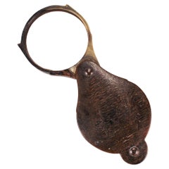
- Antique 18th or Early 19th Century Horn Folding Magnifying Glass or LoupeLocated in Philadelphia, PAA fine antique magnifying glass or loupe. The frame comprised of horn (likely from a steer or ram). The magnifying glass is be rotated in and out of the cover protecting the lens while not in use. Simply a great antique magnifier...Category
Antique Early 19th Century Unknown George III Scientific Instruments
MaterialsHorn, Glass
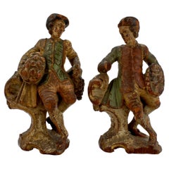
- 2 Baroque 18th Century Carved Polychrome Decorated Wooden Continental FigurinesLocated in Philadelphia, PAA pair of 18th century carved wooden figurines Likely Central European originating somewhere in Germany, Austria, Switzerland, or Northern Italy. Both figurines depict a gallant gentleman in period dress holding a basket replete with fruit or flowers. Each is mounted on an integral wooden base with a rocaille base. These figures are rare and are a fine addition to any period room...Category
Antique 18th Century European Baroque Models and Miniatures
MaterialsWood
- Einstein State I, a Pop-Art Screen-Print of Albert Einstein by Sak Steve KaufmanBy Steve KaufmanLocated in Philadelphia, PATitle: Einstein State I (with embellishments). By: Steve Kaufman. Date: 1990s. A limited edition screen-print on canvas with hand embellishments (in oil). Depicting Alber...Category
Late 20th Century American Post-Modern Paintings


You May Also Like
- Antique Map of the Province of Overijssel, the NetherlandsLocated in Langweer, NLOriginal antique map titled 'Ditio Trans-Isulana'. Original old map of the province of Overijssel, the Netherlands. With coat of arms and two decorative cartouches. Published by J. J...Category
Antique Mid-17th Century Maps
MaterialsPaper
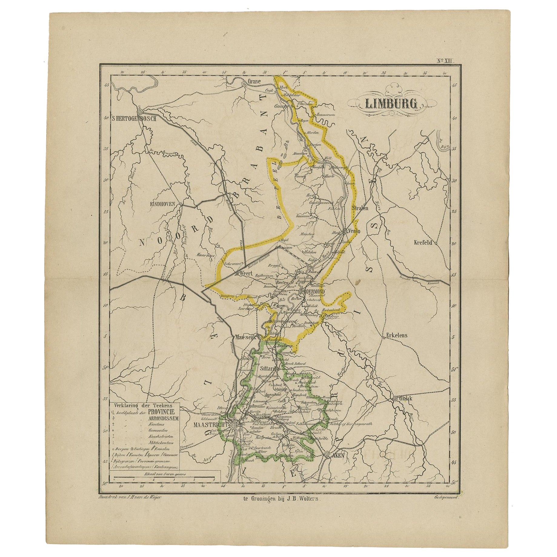
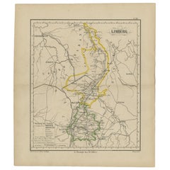
- Antique Map of the Province Limburg, The Netherlands, 1864Located in Langweer, NLAntique map titled 'De Provincie Limburg'. Map of the province of Limburg, the Netherlands. This map originates from 'F. C. Brugsma's Atlas van het Koninkrijk der Nederlanden (..)'. ...Category
Antique 19th Century Maps
MaterialsPaper
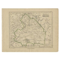
- Antique Map of Drenthe, Province of the Netherlands, C.1870Located in Langweer, NLAntique map titled 'De Provincie Drenthe'. Map of the province of Drenthe, the Netherlands. This map originates from 'F. C. Brugsma's Atlas van het Koninkrijk der Nederlanden (..)'. ...Category
Antique 19th Century Maps
MaterialsPaper
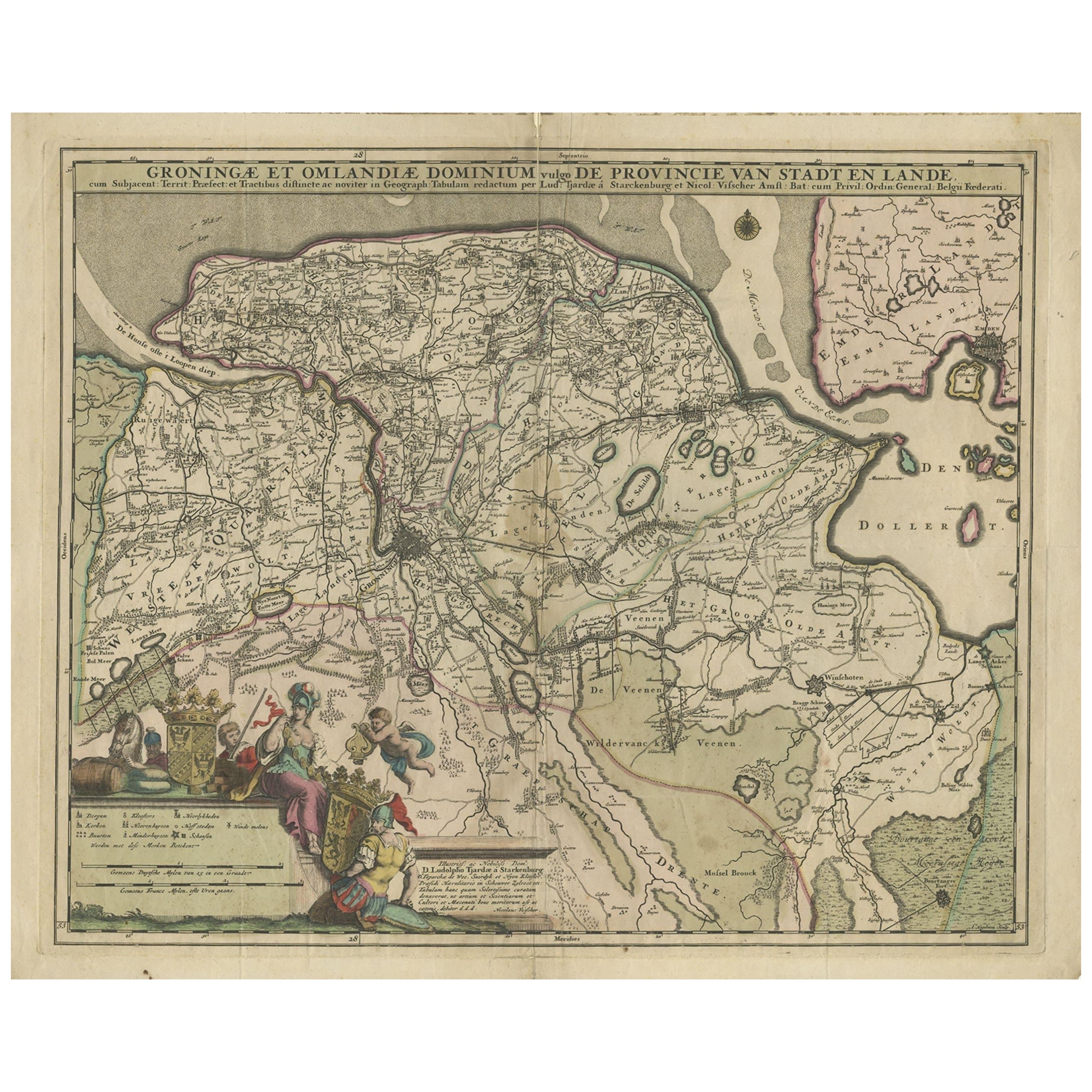
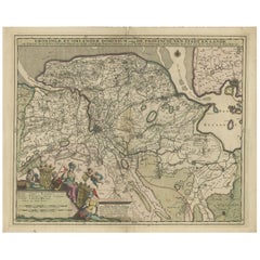
- Antique Map of the Province Groningen in The Netherlands, c.1680Located in Langweer, NLAntique map titled 'Groningae et Omlandiae Dominium vulgo de Provincie van Stadt en Lande'. Old map of the province of Groningen, the Netherlands. This map originates from 'Germani...Category
Antique 17th Century Maps
MaterialsPaper
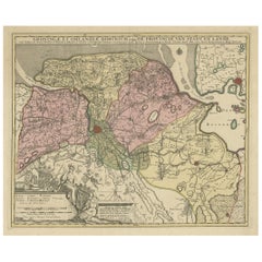
- Antique Map of the Province of Groningen in the Netherlands, c.1700Located in Langweer, NLAntique map titled 'Groningae et Omlandiae Dominium vulgo de Provincie van Stadt en Lande'. Old map of the province of Groningen, the Netherlands. This map originates from 'Atlas C...Category
Antique 18th Century Maps
MaterialsPaper
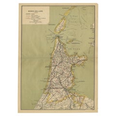
- Antique Map of Noord-Holland, Province of The Netherlands, 1902Located in Langweer, NLAntique map titled 'Noord-Holland'. Lithographed map of the province of Noord-Holland, the Netherlands. This map originates from 'Atlas van Nederland'. Artists and Engravers: Publish...Category
20th Century Maps
MaterialsPaper

Recently Viewed
View AllMore Ways To Browse
Antique 18th Century Frame
18th Century American Furniture
Colonial 18th Century
Southern America Furniture
Southern American Furniture
Antique American 18th Century Furniture
18th Century American Antiques
London Antique Dealers
Southern Colonial
R Gallery
Southern American Antiques
Antique Western Signs
United Kingdom Dealers
18th Century American Colonial
Old Picture Frames
American Colonial Furniture 18th Century
Great Lakes Antique
Antique Pennsylvania Furniture