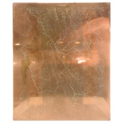
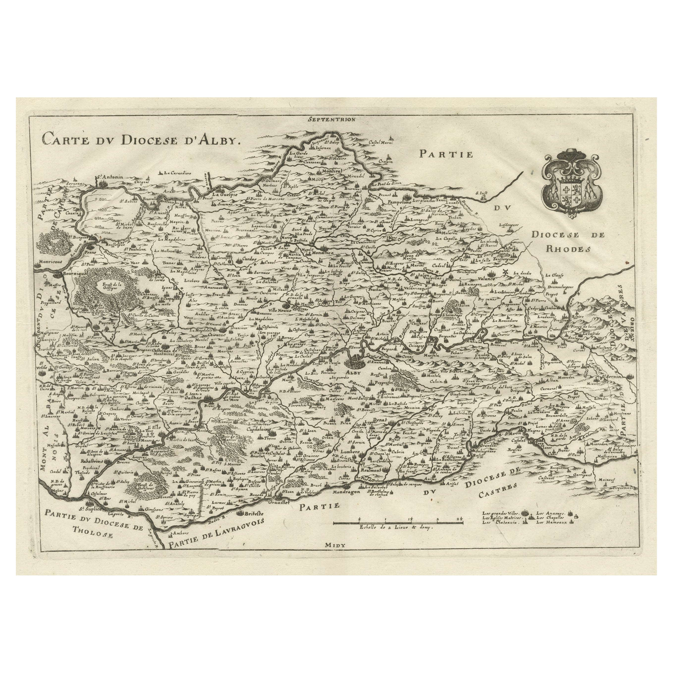
Copper Waterway Map Printing Plate of Winchester, VA
View Similar Items
1 of 9
Copper Waterway Map Printing Plate of Winchester, VA
About the Item
- Dimensions:Height: 18.63 in (47.33 cm)Width: 16 in (40.64 cm)Depth: 0.07 in (1.78 mm)
- Style:Other (Of the Period)
- Materials and Techniques:
- Place of Origin:
- Period:
- Date of Manufacture:circa 1890s
- Condition:Wear consistent with age and use.
- Seller Location:Cookeville, TN
- Reference Number:Seller: JB13351stDibs: LU234437921943
You May Also Like
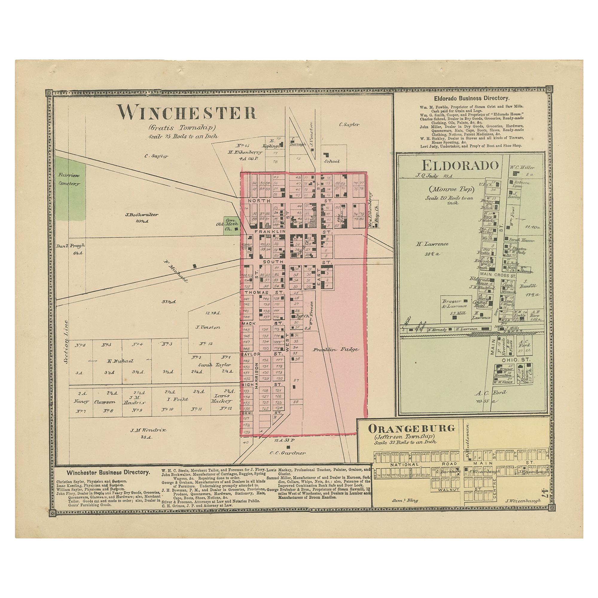
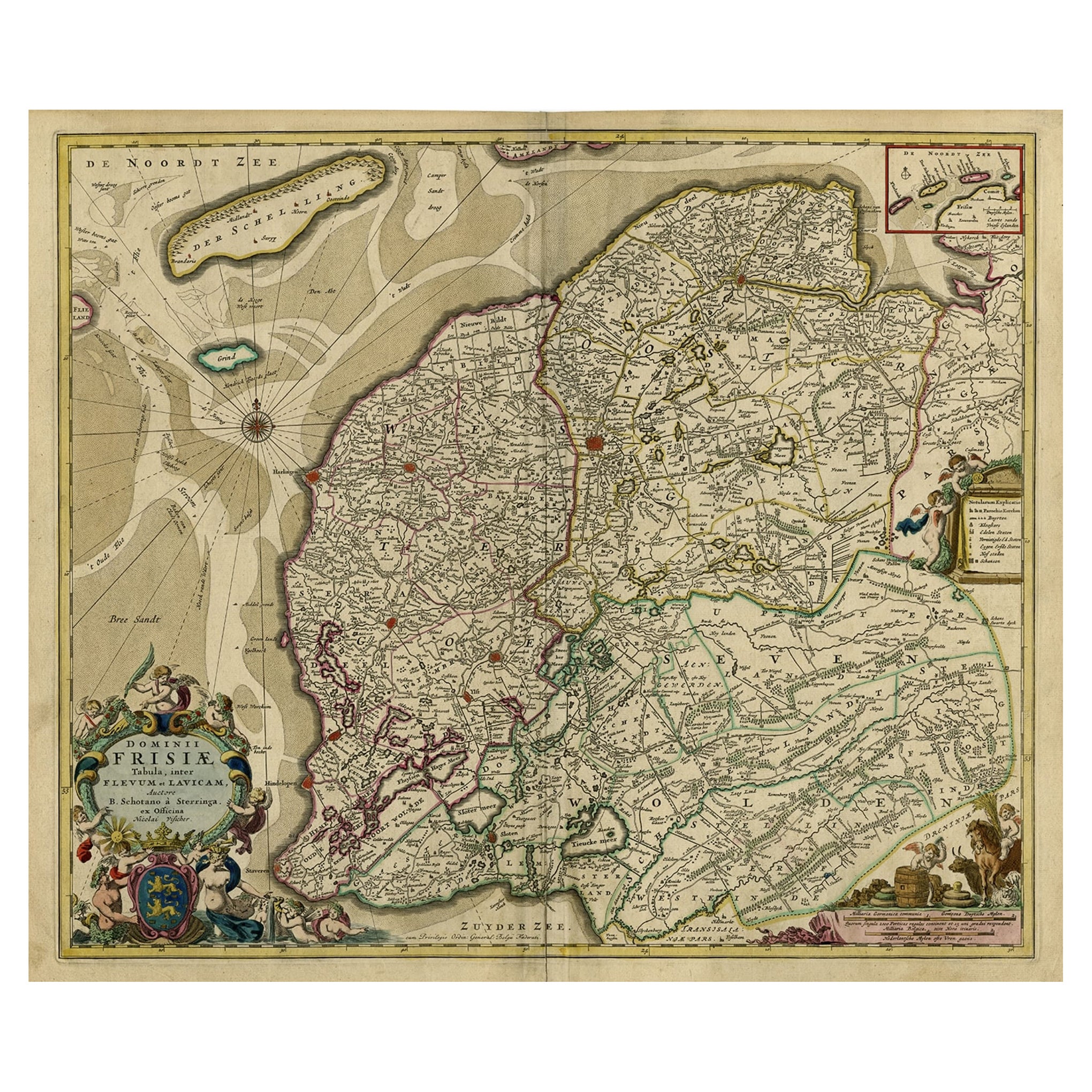
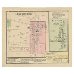
- Antique Map of Winchester, Eldorado & Orangeburg, 1871Located in Langweer, NLAntique map titled 'Winchester, Eldorado, Orangeburg'. Original antique map of villages and communities of Ohio. This map originates from 'Atlas of Preble County Ohio' by C.O. Titus....Category
Antique Late 19th Century Maps
MaterialsPaper
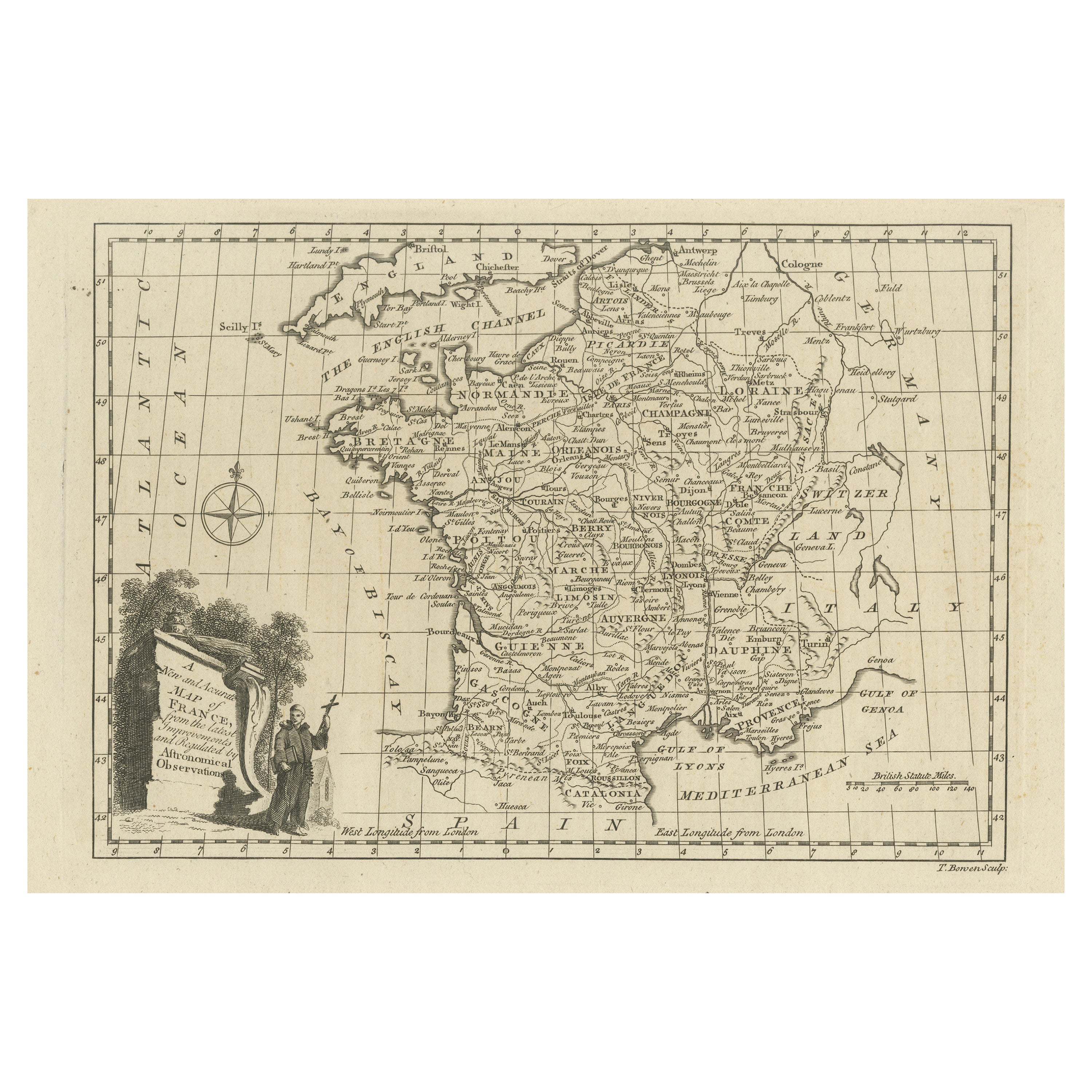
- Original Copper Engraved Map of FranceLocated in Langweer, NLAntique map titled 'New and Accurate Map of France from the latest improvements'. Original copper engraved map of France. Engraved by T. Bowen, published circa 1771.Category
Antique Late 18th Century Maps
MaterialsPaper
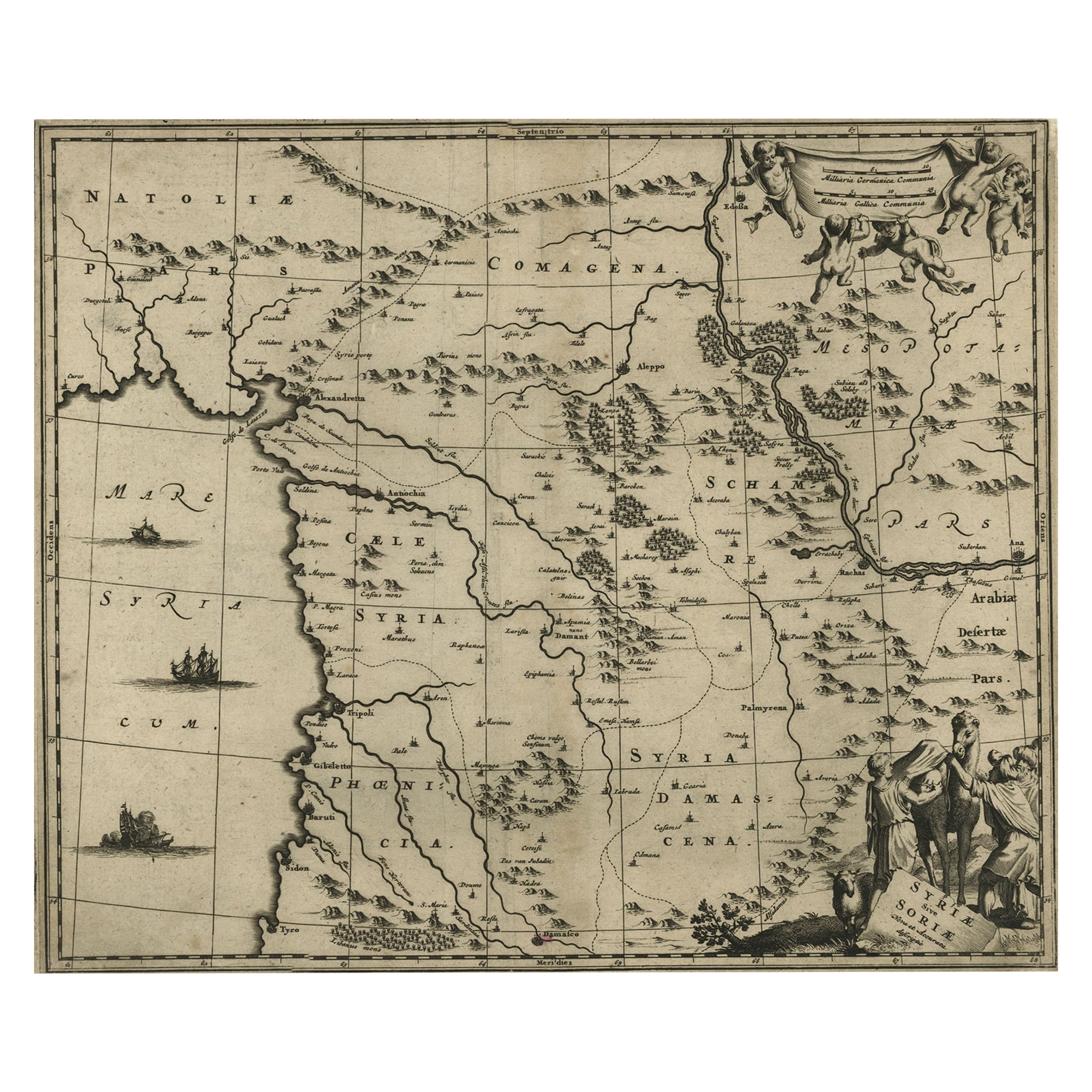
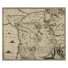
- Original Copper Engraving of a Map of Syria and Lebanon, 1698Located in Langweer, NLAntique map titled 'Syriae, sive Soriae, Nova et Accurata Descriptio.' Map of Syria and Lebanon, fully engraved with mountain ranges, forests and citi...Category
Antique 1690s Maps
MaterialsPaper
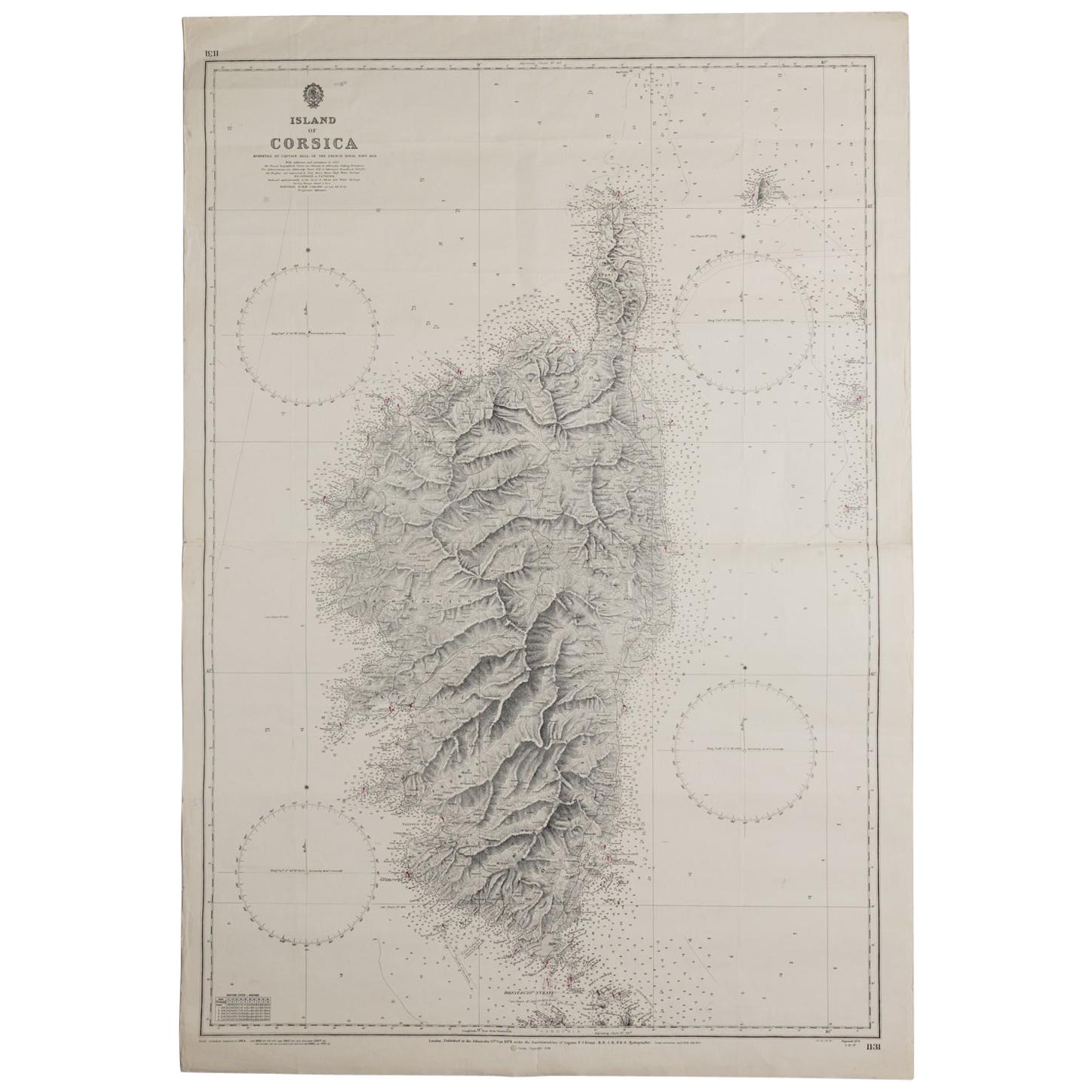
- Old Nautical Map of CorsicaLocated in Alessandria, PiemonteST/556/1 - Old map of Corsica isle, surveyed by Captain Hell, of the French Royal Navy in 1824, engraved and published on 1874, with additions and corre...Category
Antique Early 19th Century English Other Prints
MaterialsPaper
 $351 Sale Price20% Off
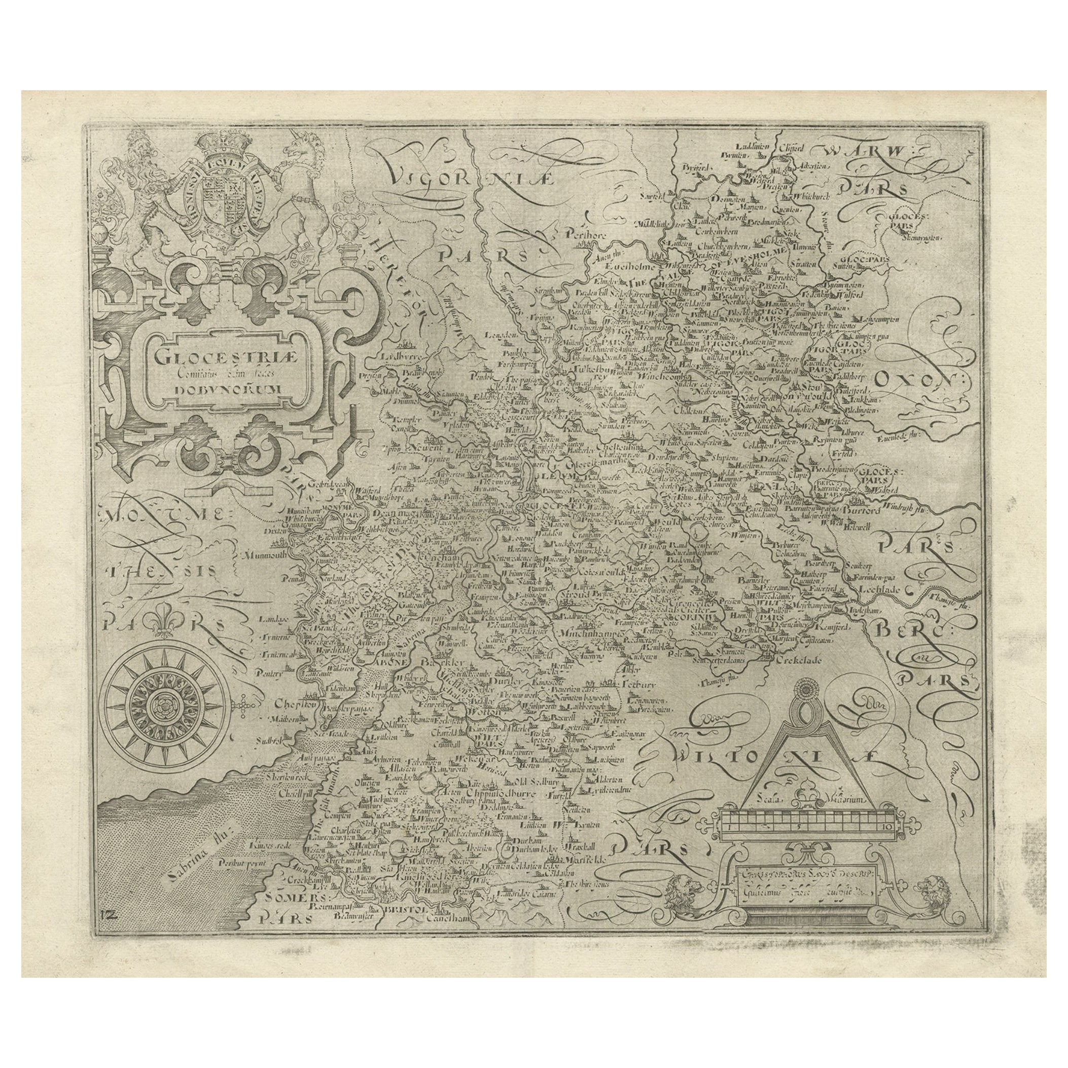
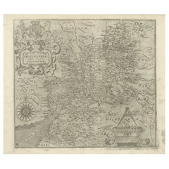
 - Antique Copper Engraved Map of Gloucestershire in England, 1637Located in Langweer, NLAntique map titled 'Glocestriae comitatus olim sedes Dobunorum'. Map of Gloucestershire, England. This map originates from Camden?s 'Britannia' ...Category
Antique 17th Century Maps
MaterialsPaper
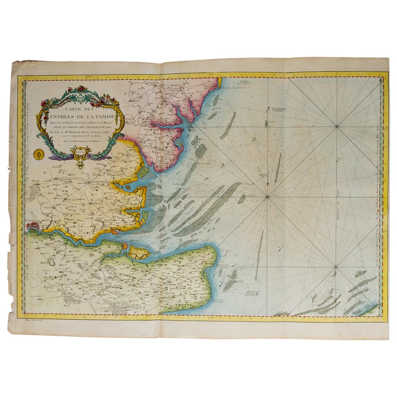
- Map "Estuary- Mouth of the Thames"Located in Alessandria, PiemonteST/426 - Antique French Map of the estuary of the Thames, map dated 1769 - "Mape of the entrance of the Thames. Designed by filing of Navy cards fo...Category
Antique Mid-18th Century French Other Prints
MaterialsPaper
 $966 Sale Price20% Off

Recently Viewed
View AllMore Ways To Browse
Antique Furniture Va
Virginia Maps
Virginia Map
Map Of Virginia
Copper Printing Plate
Antique Map Virginia
Antique Maps Virginia
Antique Virginia Map
Antique Virginia Maps
Virginia Antique Map
Antique Maps Of Virginia
Antique Map Of Virginia
Antique Furniture Winchester
British Royal Coat Of Arms
Vintage Commercial Display Furniture
Antique Farm Collectables
Action Office 1
World War 2 Navy