Items Similar to 1882 Blackie Atlas Maps: Atlantic States and Mississippi Valley Compilation
Want more images or videos?
Request additional images or videos from the seller
1 of 6
1882 Blackie Atlas Maps: Atlantic States and Mississippi Valley Compilation
$430.55per set
£317.63per set
€360per set
CA$596.03per set
A$646.27per set
CHF 342.97per set
MX$7,959.61per set
NOK 4,250.85per set
SEK 4,011.83per set
DKK 2,740.87per set
About the Item
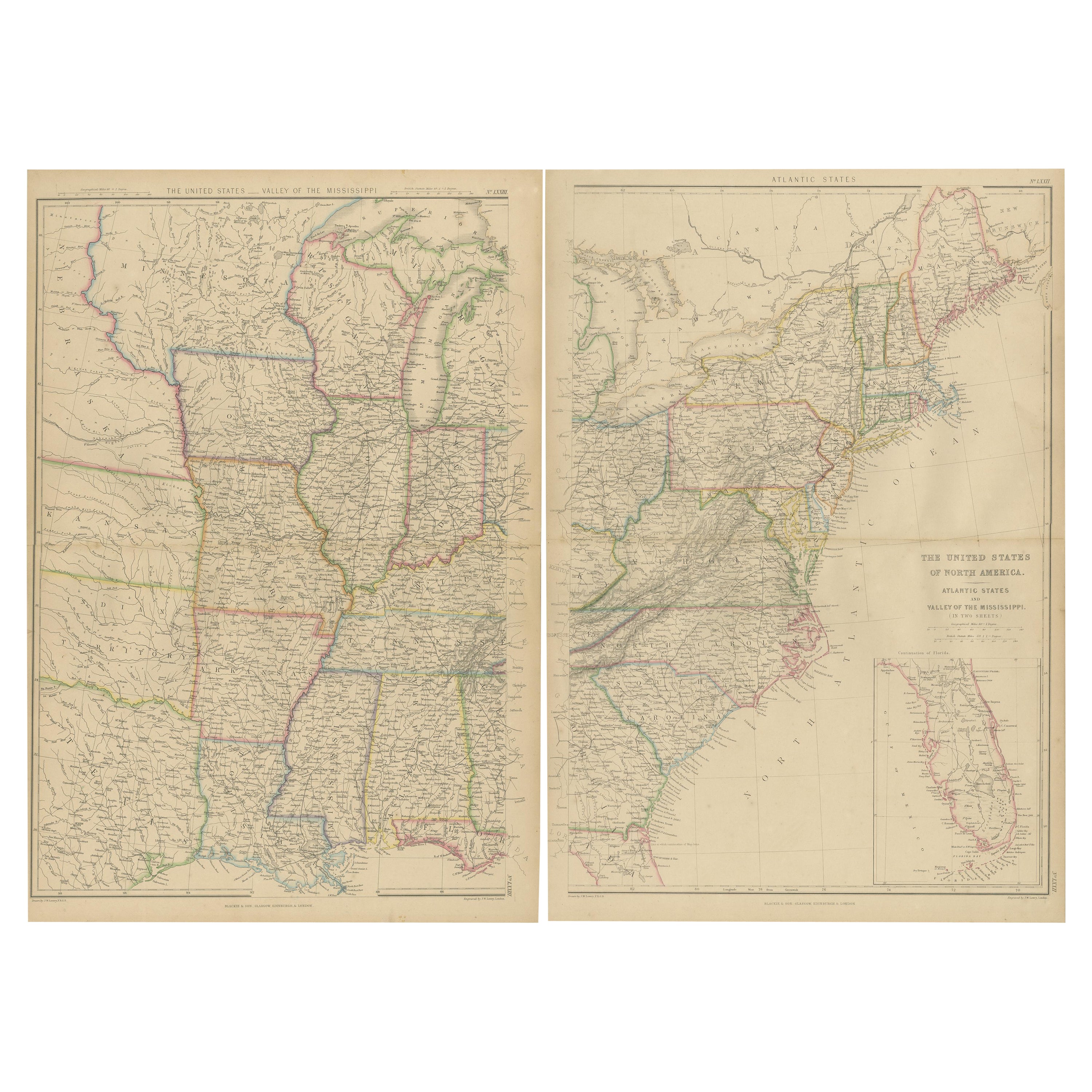
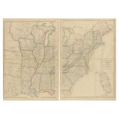
These two maps from the 1882 Blackie Atlas provide a detailed view of the eastern half of the United States, highlighting key geographical, political, and infrastructural features of the region during the late 19th century.
Map 1: Atlantic States
This map focuses on the eastern seaboard of the United States, covering Maine in the north to northern Florida in the south and extending westward to include parts of Pennsylvania and Ohio. It showcases major cities, rivers, and railways, illustrating the dense transportation network and urban centers of the Atlantic coast. Coastal ports, such as New York, Boston, and Charleston, are prominently marked, reflecting their importance for trade and shipping. An inset of Florida appears in the bottom right corner, providing additional detail for this less populated region. This area was the industrial and economic heart of the country at the time, with its bustling factories and ports vital to trade and commerce.
Map 2: Valley of the Mississippi
This map highlights the central United States, spanning from Minnesota and the Dakotas in the north to Louisiana and Texas in the south, and from the Mississippi River to the Great Plains. The Mississippi River is the central feature, serving as a major transportation and economic lifeline. Railroads crisscross the region, reflecting the expansion of the railway network and connecting cities like Chicago, St. Louis, and New Orleans. States such as Kansas, Nebraska, and Indian Territory (modern-day Oklahoma) reflect the ongoing westward expansion of the nation. This area was vital for agriculture, with the Mississippi River facilitating the movement of goods like cotton, grains, and livestock.
Condition Report
Both maps are in good condition for their age. The paper has aged to a warm, creamy tone typical of late 19th-century publications. Edges show minor wear, consistent with their use and age, while the printed text and lines remain crisp and clear. Any fold lines or faint discolorations are typical for maps of this period and do not detract from their overall appearance.
Tips on How to Frame These Two Maps
1. Choose the Right Frame: Use frames with a classic style, such as mahogany or gilded wood, to complement the vintage aesthetic of the maps. Neutral tones also work well to keep the focus on the maps themselves.
2. Protective Materials: Use UV-protective glass to shield the maps from sunlight and prevent fading. Acid-free matting and backing should be used to protect the paper from discoloration over time.
3. Positioning: Display the maps side by side to emphasize their connection. Consider a double-frame design or align them horizontally with consistent spacing.
4. Mounting Options: Float-mounting allows the edges of the maps to be visible, highlighting their original format, while traditional matting can give them a polished, museum-quality appearance.
5. Lighting: Position the framed maps in a space with soft, indirect lighting to avoid glare or damage from direct light.
Properly framed and displayed, these maps will serve as both historical artifacts and striking pieces of wall art.
- Dimensions:Height: 14.97 in (38 cm)Width: 11.03 in (28 cm)Depth: 0.01 in (0.2 mm)
- Sold As:Set of 2
- Materials and Techniques:
- Period:
- Date of Manufacture:1882
- Condition:Good condition for their age. The paper has aged to a warm, creamy tone typical of late 19th-century publications. Edges show minor wear, consistent with use and age and printed text and lines remain crisp and clear. Folding lines as issued.
- Seller Location:Langweer, NL
- Reference Number:Seller: BG-13601-2-62, -631stDibs: LU3054343551552
About the Seller
5.0
Recognized Seller
These prestigious sellers are industry leaders and represent the highest echelon for item quality and design.
Platinum Seller
Premium sellers with a 4.7+ rating and 24-hour response times
Established in 2009
1stDibs seller since 2017
2,622 sales on 1stDibs
Typical response time: <1 hour
- ShippingRetrieving quote...Shipping from: Langweer, Netherlands
- Return Policy
Authenticity Guarantee
In the unlikely event there’s an issue with an item’s authenticity, contact us within 1 year for a full refund. DetailsMoney-Back Guarantee
If your item is not as described, is damaged in transit, or does not arrive, contact us within 7 days for a full refund. Details24-Hour Cancellation
You have a 24-hour grace period in which to reconsider your purchase, with no questions asked.Vetted Professional Sellers
Our world-class sellers must adhere to strict standards for service and quality, maintaining the integrity of our listings.Price-Match Guarantee
If you find that a seller listed the same item for a lower price elsewhere, we’ll match it.Trusted Global Delivery
Our best-in-class carrier network provides specialized shipping options worldwide, including custom delivery.More From This Seller
View AllSet of 2 Antique Maps of the United States by W. G. Blackie, 1859
Located in Langweer, NL
Antique map titled 'The United States of North America, Atlantic States and Valley of the Mississippi'. Original antique map of the United States of North America, Atlantic States an...
Category
Antique Mid-19th Century Maps
Materials
Paper
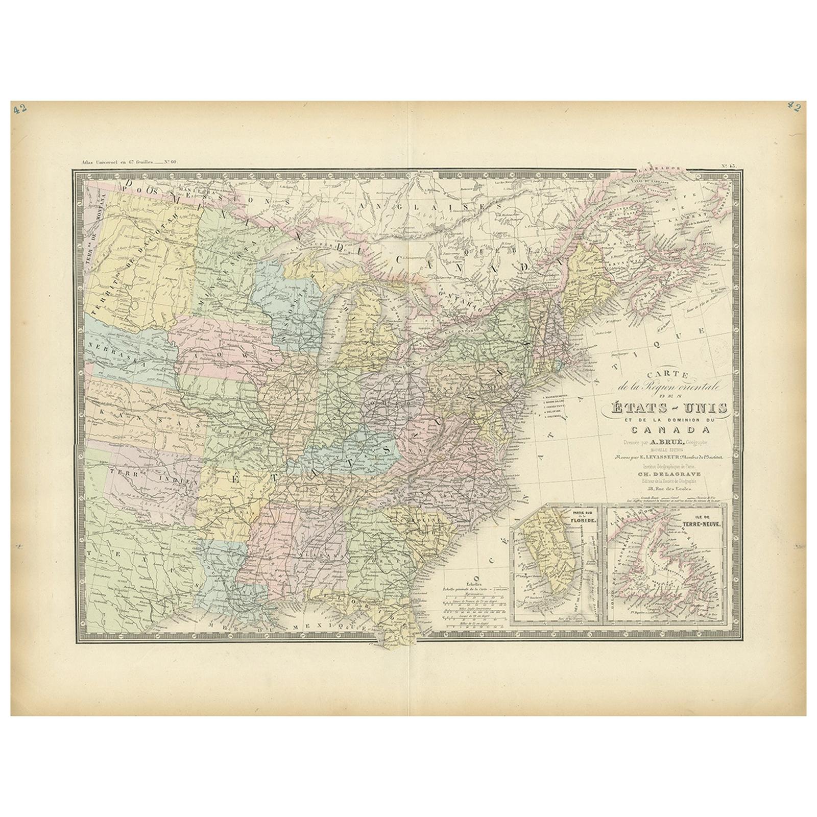
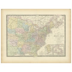
Antique Map of the Eastern United States by Levasseur '1875'
Located in Langweer, NL
Antique map titled 'Carte de la Region orientale des États-Unis et de la dominion du Canada'. Large map of the Eastern United States. This map originates from 'Atlas de Géographie Mo...
Category
Antique Late 19th Century French Maps
Materials
Paper
$287 Sale Price
40% Off
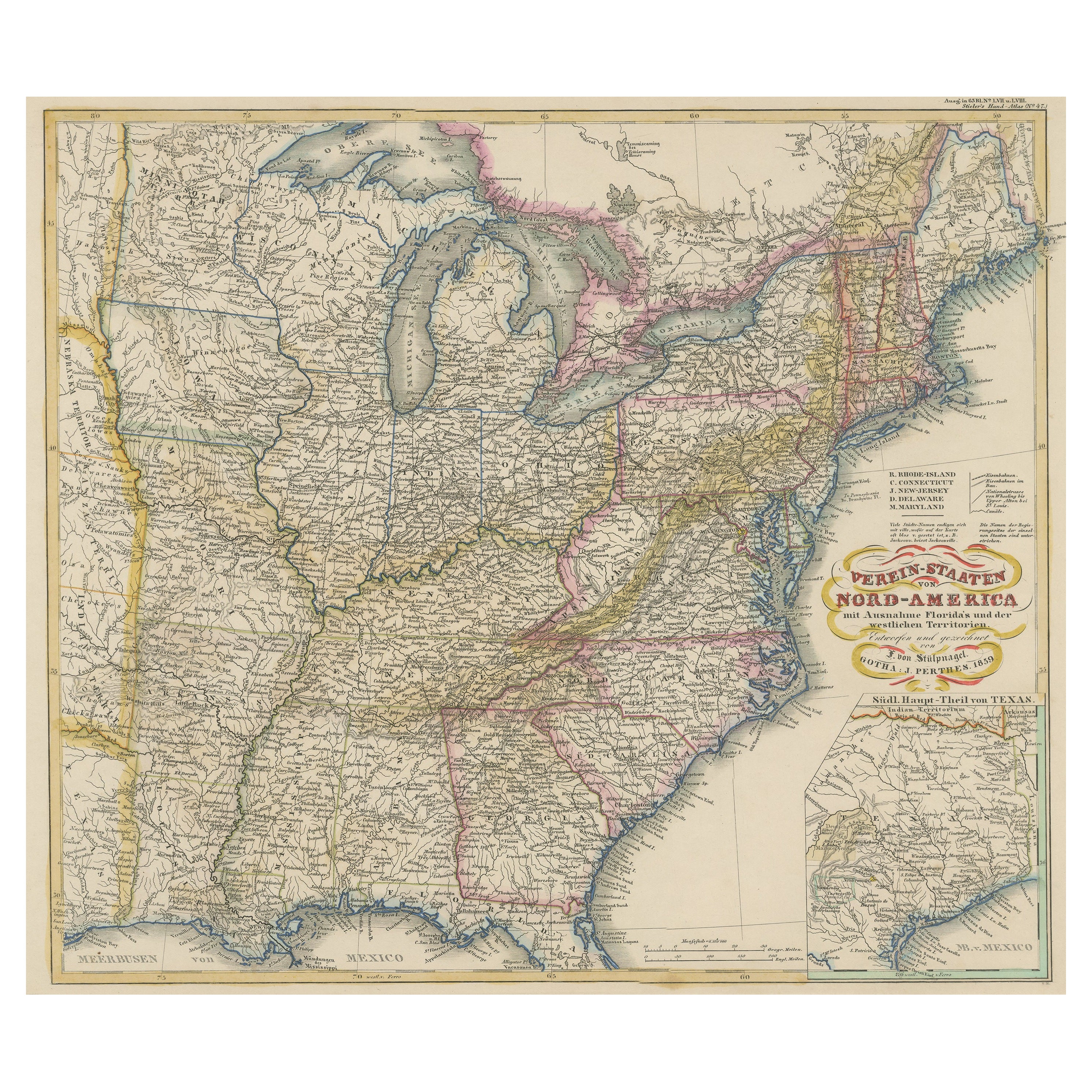
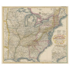
Antique Map of the Eastern United States with Inset Map of Texas
Located in Langweer, NL
Antique map titled 'Verein-Staaten von Nord-America mit Ausnahme Florida's und der Westlichen Territorien'. This map extends as far west as Louisiana and only includes the northern p...
Category
Antique Mid-19th Century Maps
Materials
Paper
$516 Sale Price
20% Off
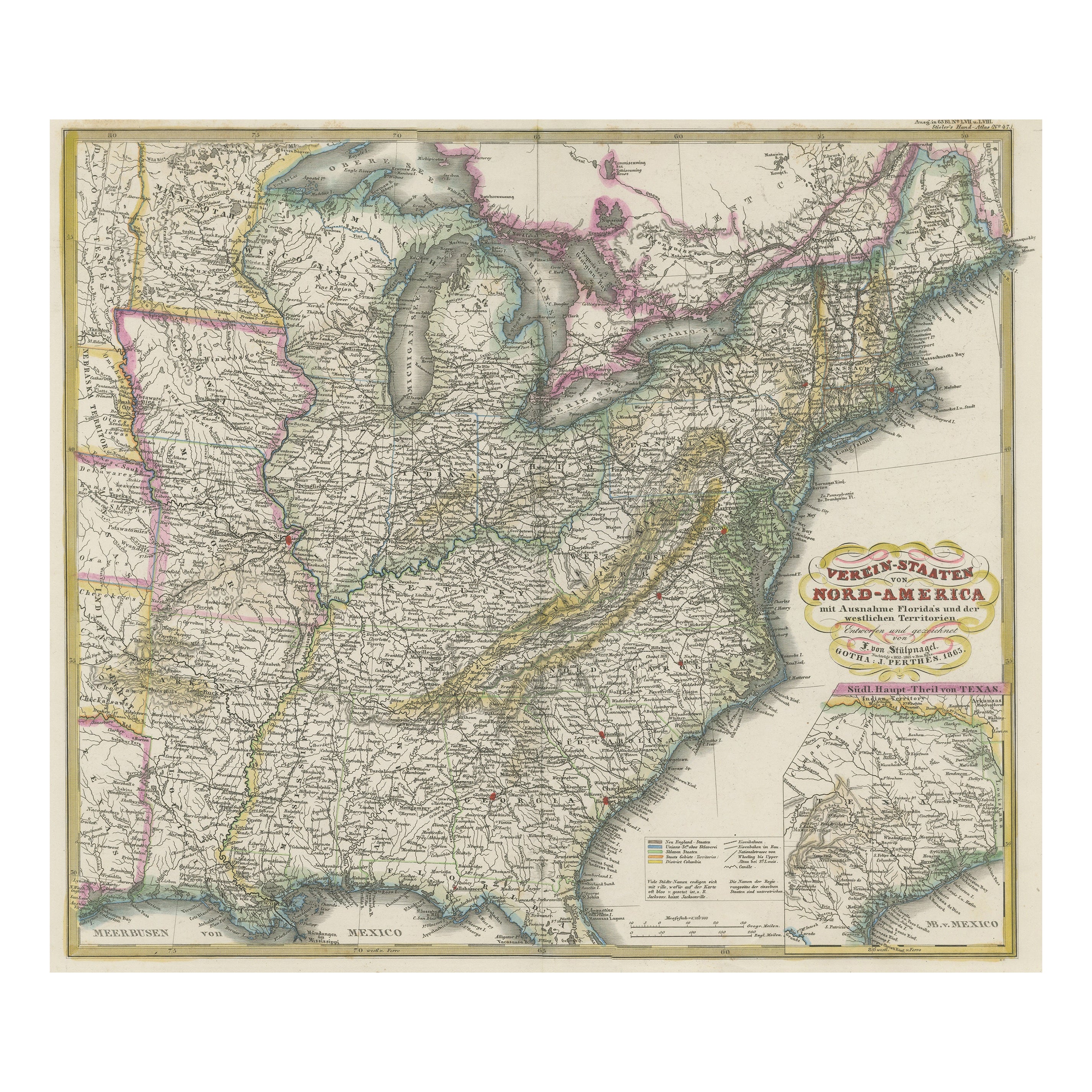
Antique Map of the Eastern United States with Only the Northern Part of Florida
Located in Langweer, NL
Antique map titled 'Verein-Staaten von Nord-America mit Ausnahme Florida's und der Westlichen Territorien'. This map extends as far west as Louisiana and only includes the northern p...
Category
Antique Mid-19th Century Maps
Materials
Paper
$784 Sale Price
20% Off
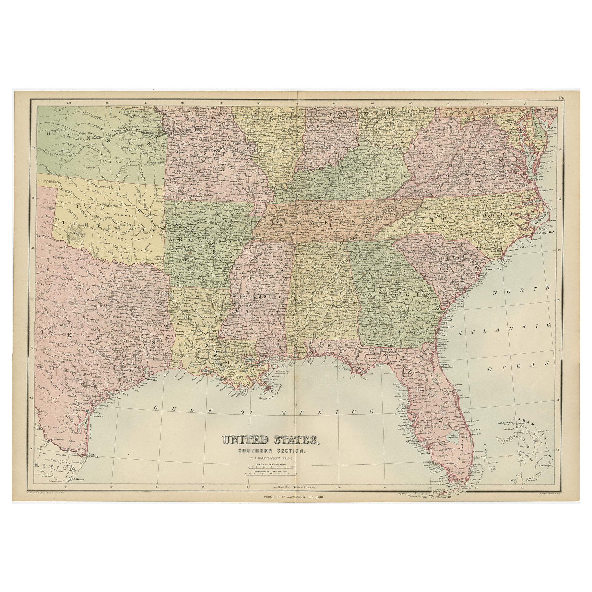
Antique Map of The United States Southern Section by A & C. Black, 1870
Located in Langweer, NL
Antique map titled 'United States Southern Section'. Original antique map of Map of The United States Southern Section. This map originates from ‘Black's General Atlas of The World’....
Category
Antique Late 19th Century Maps
Materials
Paper
$239 Sale Price
20% Off
Antique Map of the United States by Titus '1871'
Located in Langweer, NL
Antique map titled 'The United States of America'. Original antique map of the United States. This map originates from 'Atlas of Prebl...
Category
Antique Late 19th Century Maps
Materials
Paper
$765 Sale Price
20% Off
You May Also Like
Original Antique Map of United States, Grattan and Gilbert, 1843
Located in St Annes, Lancashire
Great map of United States
Drawn and engraved by Archer
Published by Grattan and Gilbert. 1843
Original colour
Unframed.
Category
Antique 1840s English Maps
Materials
Paper
Antique 1844 J Calvin Smith JH Colton Midwest United States Survey Map 27"
By J.H. Colton
Located in Dayton, OH
Antique framed black and white map of seven Midwestern American states. Guide Through Ohio, Michigan, Indiana, Illinois, Missouri, Wisco...
Category
Antique 1840s Maps
Materials
Paper
$940 Sale Price
20% Off
Original Antique Map of The United States of America by Dower, circa 1835
Located in St Annes, Lancashire
Nice map of the USA
Drawn and engraved by J.Dower
Published by Orr & Smith. C.1835
Unframed.
Free shipping
Category
Antique 1830s English Maps
Materials
Paper
Large Original Antique Map of North Carolina, USA, 1894
By Rand McNally & Co.
Located in St Annes, Lancashire
Fabulous map of North Carolina
Original color
By Rand, McNally & Co.
Published, 1894
Unframed
Free shipping.
Category
Antique 1890s American Maps
Materials
Paper
Large Original Antique Map of the United States of America. 1891
By Rand McNally & Co.
Located in St Annes, Lancashire
Fabulous map of The United States
Original color
By Rand, McNally & Co.
Dated 1891
Unframed
Free shipping.
Category
Antique 1890s American Maps
Materials
Paper
Large Original Vintage Map of North America, circa 1920
Located in St Annes, Lancashire
Great map of North America
Original color. Good condition
Published by Alexander Gross
Unframed.
Category
Vintage 1920s English Edwardian Maps
Materials
Paper
More Ways To Browse
Valley Furniture
Charleston Antique
Green Persian Rug
50 X 50 Coffee Table
Spanish Baroque Furniture
Couch Console
Vintage Burn
Sterling Silver Flatware Service For 12
Antique Dining Tables With Leaves
Decorative Wall Panels
Frank Lloyd Wright For Cassina
Natural Curved
Spanish Wool Rug
Leather Pouf And Ottomans
Low Side Tables
Set Of Four Italian Dining Chairs
Silk Runner Carpet
18th Century Blue And White Porcelain
