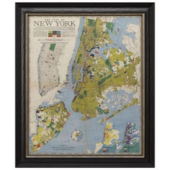
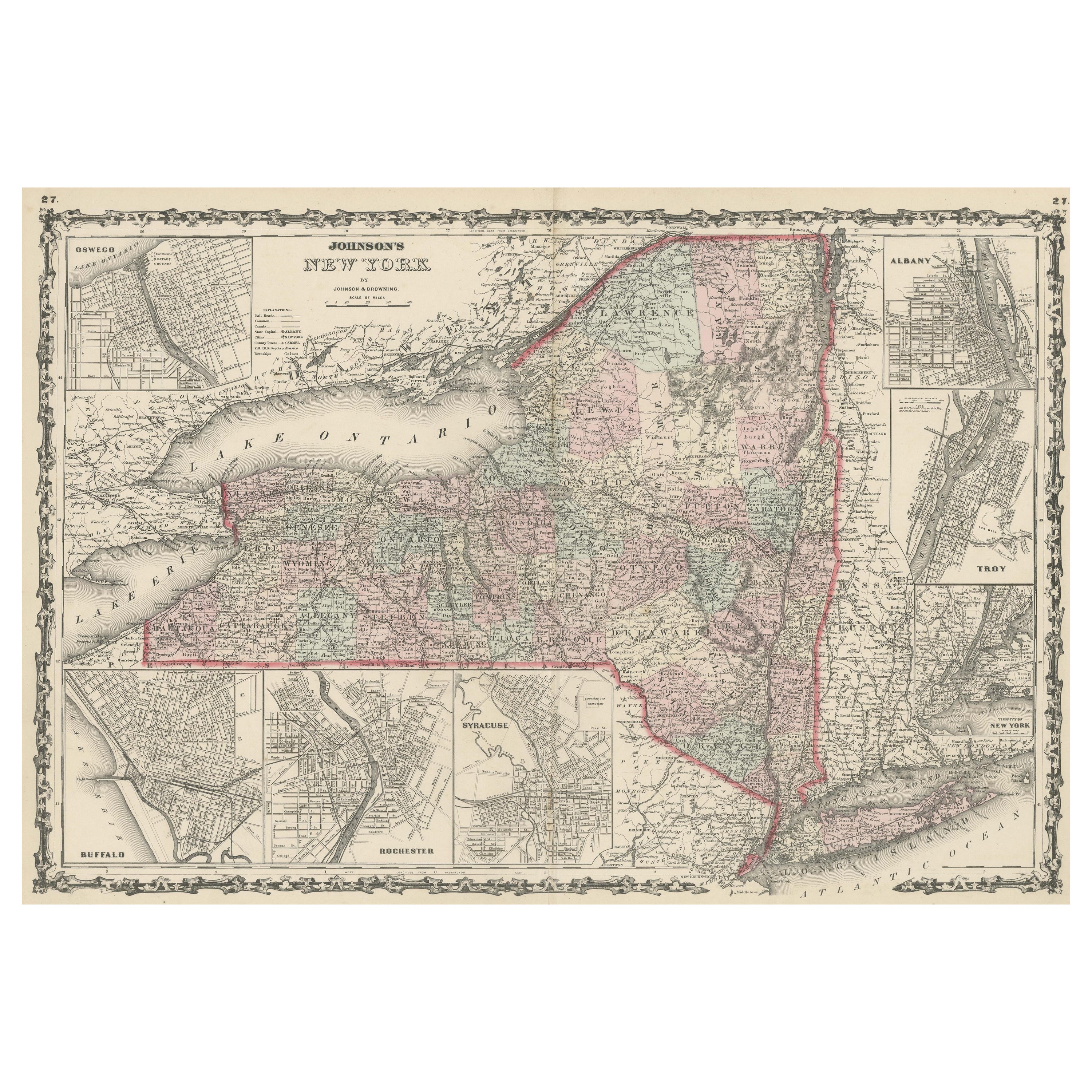
1939 Vintage Map "The City of New York" by Richard Edes Harrison
View Similar Items


Want more images or videos?
Request additional images or videos from the seller
1 of 5
1939 Vintage Map "The City of New York" by Richard Edes Harrison
About the Item
- Creator:Richard Harrison (Artist)
- Dimensions:Height: 32 in (81.28 cm)Width: 27 in (68.58 cm)Depth: 1 in (2.54 cm)
- Materials and Techniques:
- Place of Origin:
- Period:
- Date of Manufacture:1939
- Condition:Wear consistent with age and use.
- Seller Location:Colorado Springs, CO
- Reference Number:Seller: M3001stDibs: LU909718900872
About the Seller
4.9
Platinum Seller
These expertly vetted sellers are 1stDibs' most experienced sellers and are rated highest by our customers.
Established in 2010
1stDibs seller since 2011
402 sales on 1stDibs
More From This SellerView All
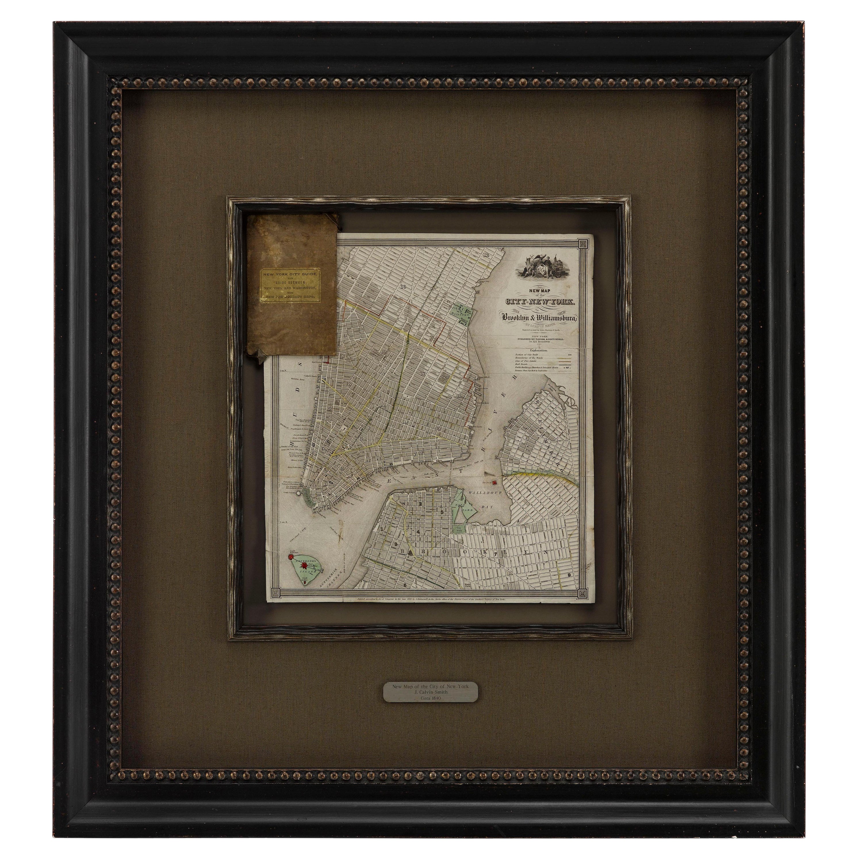
- 1840 "New Map of the City of New York With Part of Brooklyn & Williamsburg"Located in Colorado Springs, COPresented is a hand-colored, engraved folding map titled "New Map of the City of New York With Part of Brooklyn & Williamsburg" by J. Calvin Smith. The map was issued bound in the bo...Category
Antique 1840s American Maps
MaterialsPaper
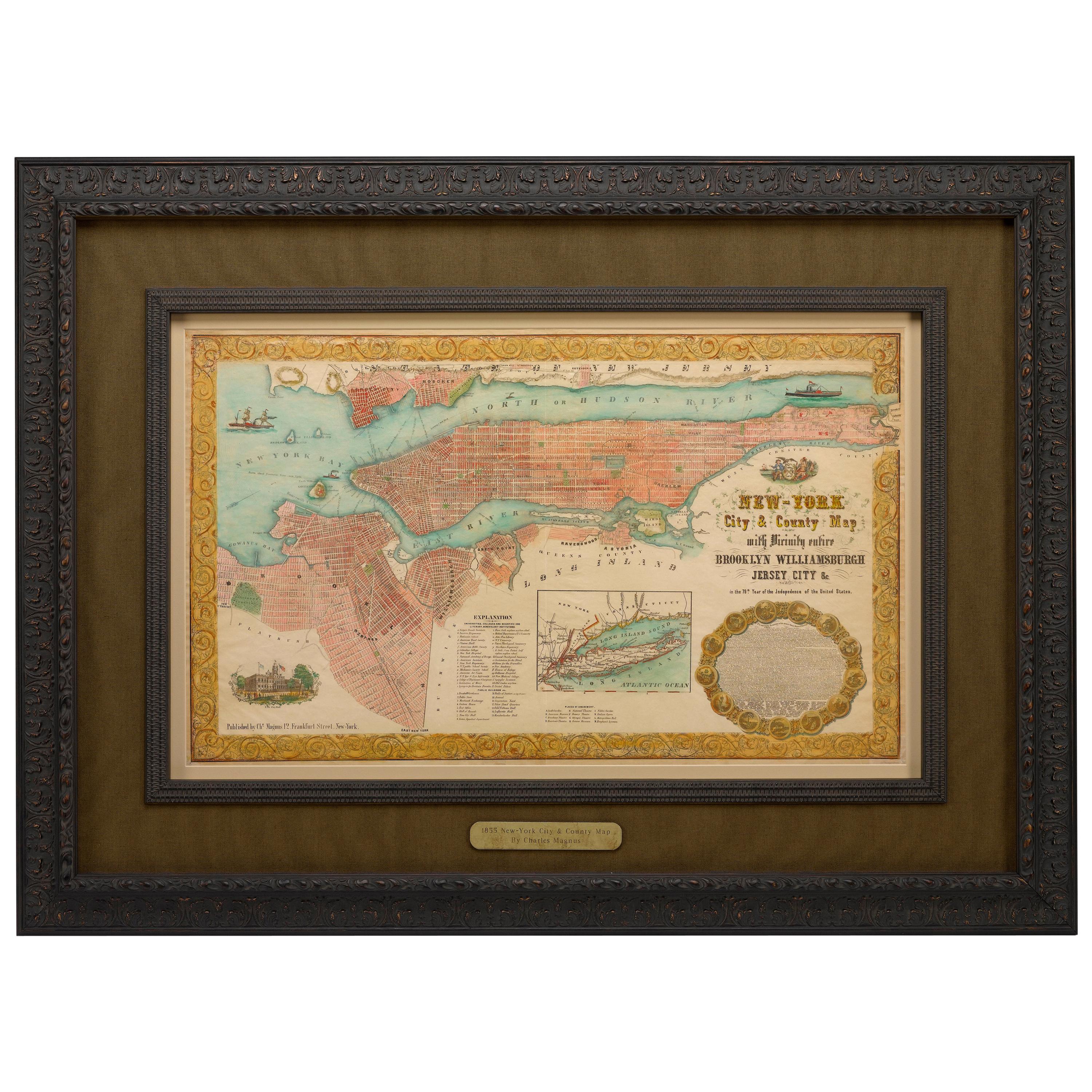
- 1855 "New-York City & County Map" by Charles MagnusBy Charles MagnusLocated in Colorado Springs, COThis is a beautiful hand-colored map titled “New York City & County Map with Vicinity entire Brooklyn, Williamsburgh, Jersey City &c.” The work was published in 1855 by Charles Magnu...Category
Antique 1850s American Maps
MaterialsPaper
- 1840 Map of the City of Washington Published by William M. MorrisonLocated in Colorado Springs, COThis map, printed in 1840, is a detailed representation of Washington, D.C. in the mid-19th century. The map shows block numbers, wards, and government buildings as well as details o...Category
Antique 1840s American Federal Maps
MaterialsPaper
- 1912 "Panoramic View of New York City and Vicinity" by Jacob RuppertLocated in Colorado Springs, COThis is an attractive and very scarce map of New York, published by the Yorkville brewer Jacob Ruppert in 1912. The map shows an expansive view of the region reaching from Sandy Hook in the south and Yonkers to the north, to Hicksville in the east and past Newark to the west. This beautifully colored birds eye view shows waterways with all shipping traffic, boroughs, and clearly labeled railroad routes. It is presented on period dowels and backed on its original linen. Jacob Ruppert was born in New York City in 1842 to Bavarian immigrants. His father owned a brewery in Manhattan where young Jacob learned the business of brewing. In 1862, Jacob established the Jacob...Category
Vintage 1910s American Maps
MaterialsPaper
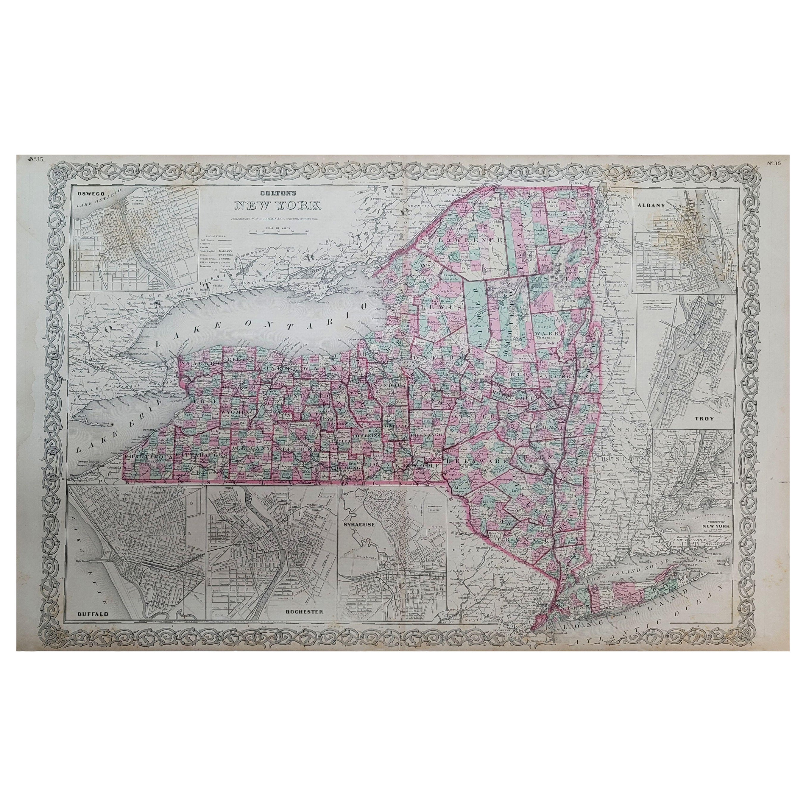
- 1859 "Colton's New Map of the State of Texas..." by Johnson & BrowningLocated in Colorado Springs, COPresented is "Colton's New Map of the State of Texas Compiled from De Cordova's Large Map", published in Alivin J. Johnson’s “New Illustrated Family Atlas.” The map was published in ...Category
Antique 1850s American Maps
MaterialsPaper
- 1863 "Lloyd's New Map of the United States, the Canadas, and New Brunswick"Located in Colorado Springs, COPresented is “Lloyd's New Map of the United States, the Canadas and New Brunswick, From the latest Surveys, Showing Every Railroad & Station Finished to June 1863, and the Atlantic and Gulf Coasts.” A large, Civil War-era hanging map of the United States and adjacent territories, this map covers the area from the Atlantic Ocean and extends as far west as the 103 meridian, to “Dacotah,” Nebraska, Kansas, "Indian Territory," and Texas. The southern continuation of Florida is shown in an inset map along the right margin. This map was published by J. T. Lloyd, in New York, in 1863. According to the publisher’s marking at lower right, this map was originally issued in two states: "in Sheets, Colored" for 50 cents, and "Varnished nicely, with Rollers" for $1. Throughout the map, the counties are colored and the towns and cities well labeled. A reference key in the bottom margin provides symbols for railroads, turnpikes and wagon roads, state capitals, cities and towns, and village post offices. As emphasized in the map’s title, this map is especially notable for the countless railway lines and stations depicted, with distances noted between points, listing “every railroad and finished station to June 1863.” Additionally, two shipping agents and their routes are drawn out of New York City. The map includes details of the steamship routes into New York and Philadelphia from Liverpool and on to California and Oregon via an overland Nicaraguan trek, presumably to assist gold rush emigrants. This expansive and impressive map depicts the eastern half of the United States in the third year of the Civil War. In order not to recognize the legitimacy of the Confederate States of America, each state is shown in the same manner as the Union states. The only indication that the American Civil War was in progress when this map was published is a printed notice that Gideon Wells, Secretary of the Navy, wishes to acquire a quote on 100 copies of Lloyd’s Mississippi River map...Category
Antique 1860s American Maps
MaterialsLinen, Wood, Paper


You May Also Like
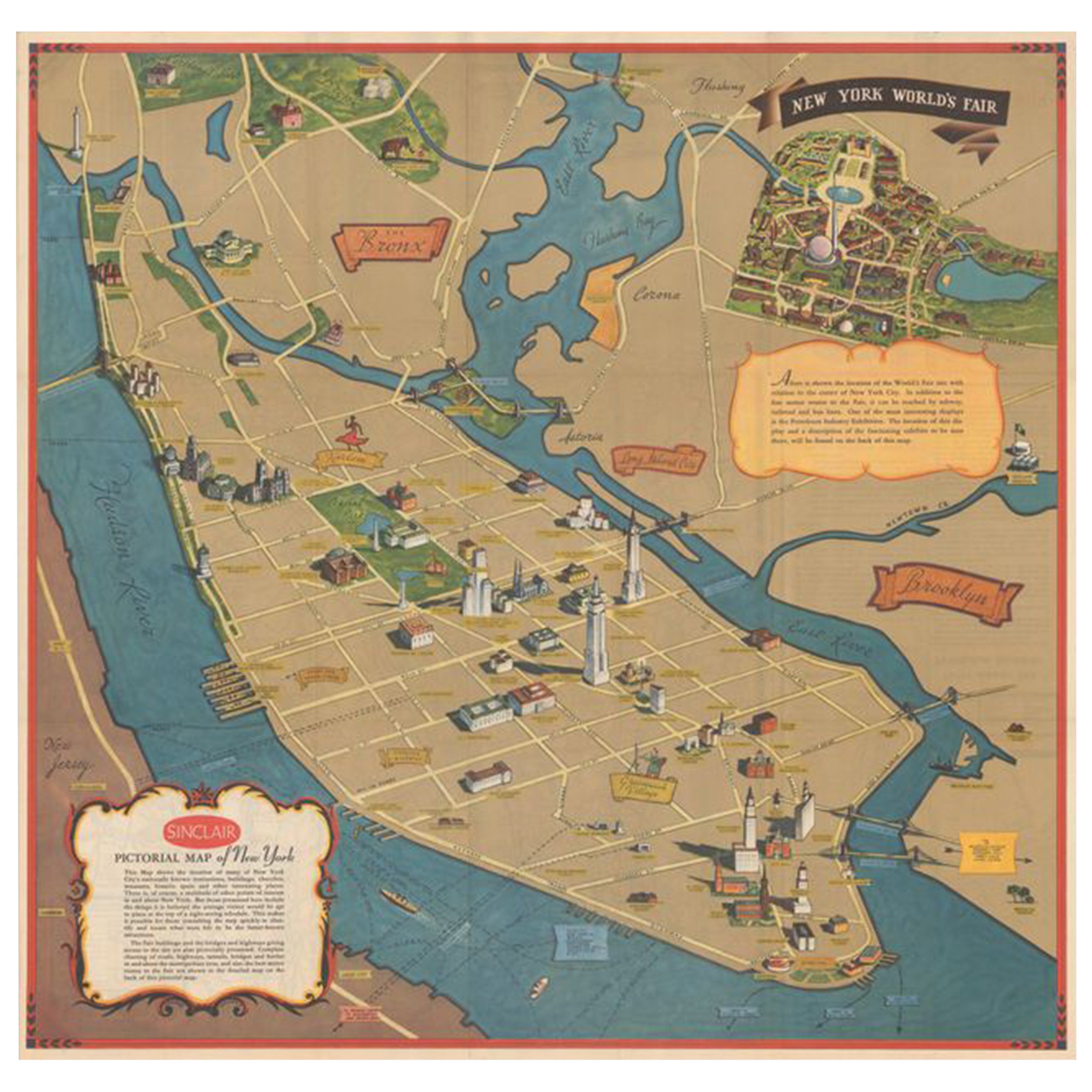
- Pictorial Vintage Map of New York City Showing Numerous Landmarks, 1939Located in Langweer, NLThis pictorial souvenir map focuses on New York City and the site of the 1939 World's Fair. It was drawn by graphic artist George Annand and published by Sinclair Oil...Category
Vintage 1930s Maps
MaterialsPaper
 $453 Sale Price24% Off
 - Antique Map of American Cities, Vignette of New York City, circa 1920Located in St Annes, LancashireGreat maps of American Cities Unframed Original color By John Bartholomew and Co. Edinburgh Geographical Institute Published, circa 1920Category
Vintage 1920s British Maps
MaterialsPaper
- Vintage Oversized New York City Lower Manhattan 1840s Map PrintLocated in Dayton, OHVintage late 20th century reproduction print of New York City featuring lower Manhattan in 1840.Category
Late 20th Century Victorian Maps
MaterialsPaper
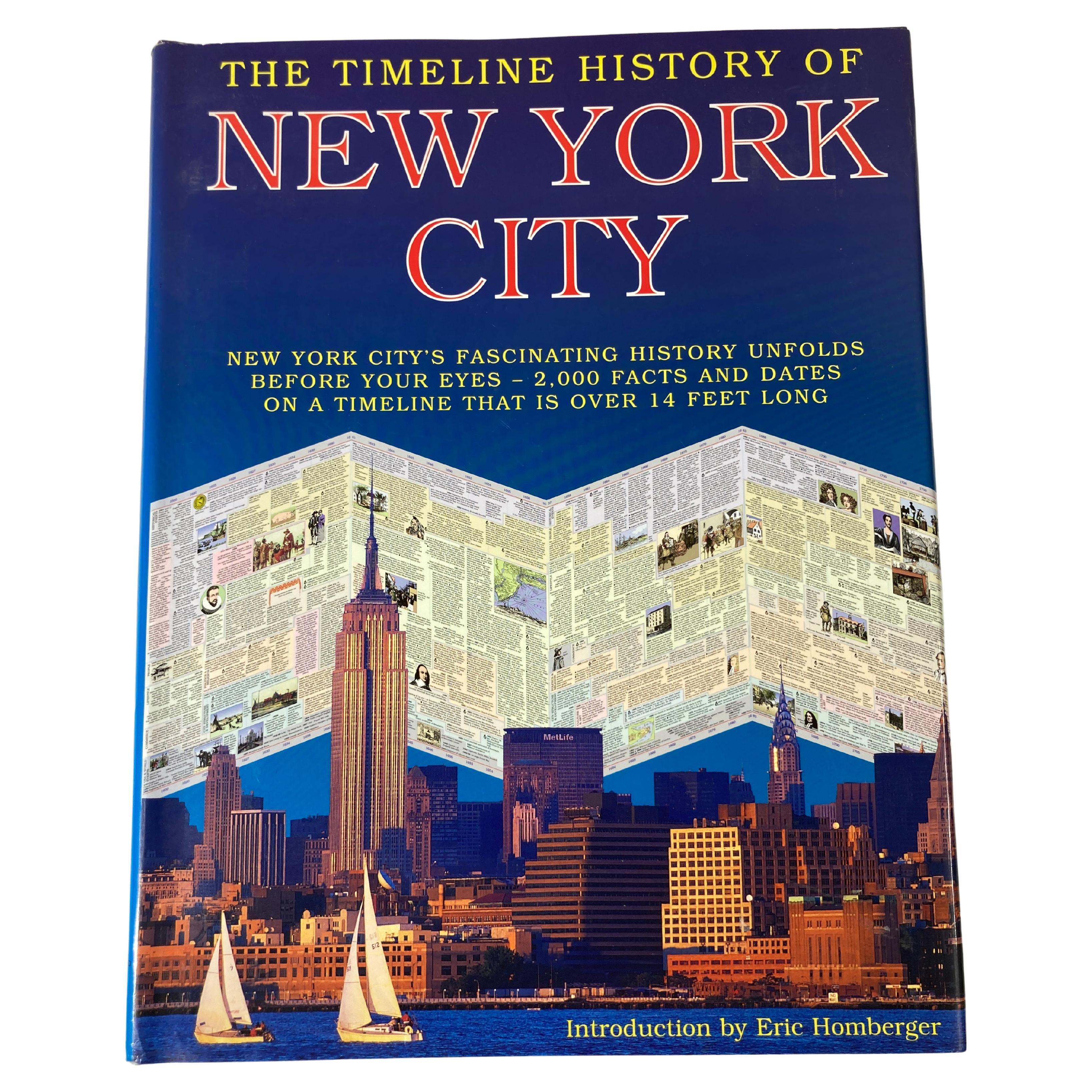
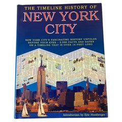
- The Timeline History of New York City BookLocated in North Hollywood, CAThe Timeline History of New York City Book Playne Books Ltd; Worth Press Ltd; Hardcover book. A hands-on presentation of New York's history feat...Category
21st Century and Contemporary American Expressionist Books
MaterialsPaper
- Antique Map of New York by Johnson '1872'Located in Langweer, NLAntique map titled 'Johnson's New York'. Original map showing New York, with an inset map of Long Island. This map originates from 'Johnson's New Il...Category
Antique Late 19th Century Maps
MaterialsPaper
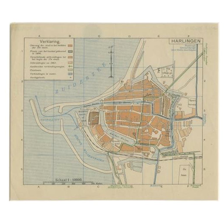
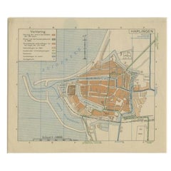
- Vintage Map of the Frisian City of Harlingen, 1930Located in Langweer, NLVintage map titled 'Harlingen'. Original map of the city of Harlingen, Friesland, the Netherlands. Published circa 1930. Condition: Good, passe-partout/matting included. General a...Category
20th Century Maps
MaterialsPaper


Recently Viewed
View AllMore Ways To Browse
Map Of Baltimore
Battery New York
Maryland Map
Map Of Maryland
Clear Depression Glass
New York City Vintage Map
New York City Map Vintage
Vintage Map Of New York City
Harrison Smith
Vintage Map New York
Vintage Lithograph Collection
Circuit Board
New York City Map Lithograph
Vintage Map Framed
Vintage Manhattan Maps
Vintage Manhattan Map
Vintage Map Manhattan
Relief Map