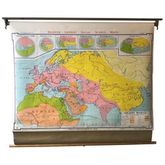
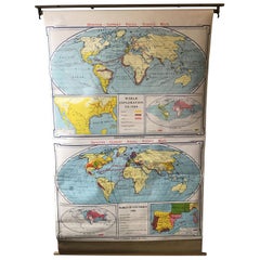
1968 Ancient World School Map
View Similar Items


Want more images or videos?
Request additional images or videos from the seller
1 of 8
1968 Ancient World School Map
About the Item
- Dimensions:Height: 48 in (121.92 cm)Width: 3 in (7.62 cm)Depth: 3.5 in (8.89 cm)
- Materials and Techniques:
- Period:
- Date of Manufacture:1968
- Condition:Wear consistent with age and use. D1 W48 H41 are the measurements of the map unrolled.
- Seller Location:Tarrytown, NY
- Reference Number:1stDibs: LU1078218502202
About the Seller
4.9
Vetted Seller
These experienced sellers undergo a comprehensive evaluation by our team of in-house experts.
Established in 1993
1stDibs seller since 2014
1,588 sales on 1stDibs
Typical response time: 1 hour
More From This SellerView All
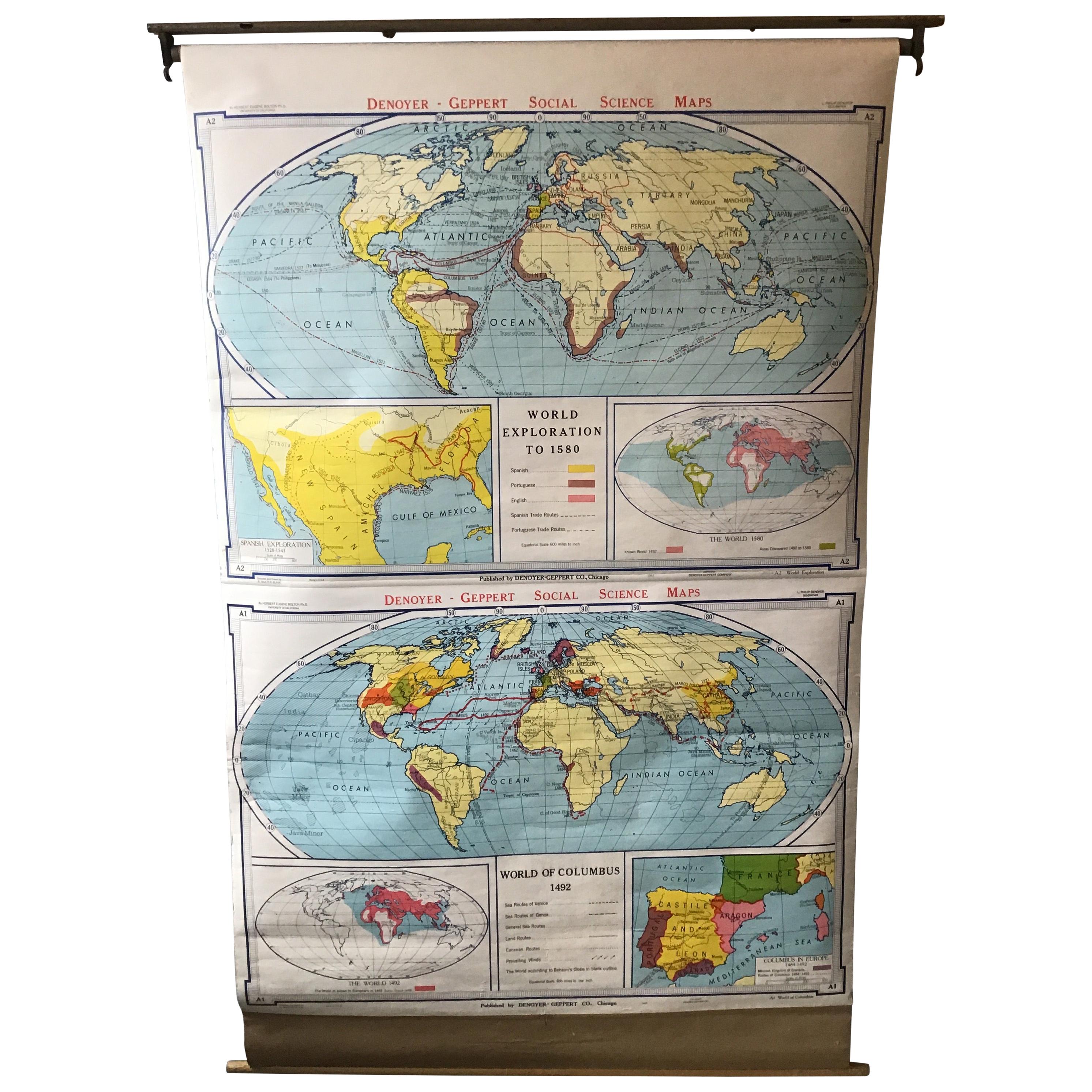
- 1967 World Exploration School MapLocated in Tarrytown, NYPull down world exploration map from 1967.Category
Vintage 1960s Maps
MaterialsPaper
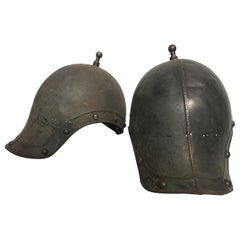
- Pair of 1930s Reproduction Ancient Roman Soldiers HelmetsLocated in Tarrytown, NYPair of 1930s metal reproduction ancient Roman soldiers helmets.Category
Vintage 1930s Arms, Armor and Weapons
MaterialsMetal
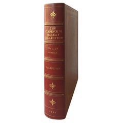
- The Clarance H. Mackay Collection, Italian Schools, by William R. ValentinerLocated in Tarrytown, NY56 Photogravure plates. Privately printed in 1926 by Witherspoon & Co. Cover bound in Moroccan crimson leather with gilt flower motifs. Privately printed catalogue limited to 100 nu...Category
Vintage 1920s Books
MaterialsPaper
- 1820s 3 Volume Family Bible Commentary by Mathew HenryLocated in Tarrytown, NY1820s Mathew Henry leather bound bible commentary. 3 Volume set. Gilt pages.Category
Antique 1820s Books
MaterialsPaper
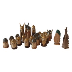
- 1950s Ceramic Viking Chess Pieces 'One Piece Missing'Located in Tarrytown, NY1950s Ceramic hand painted Viking chess set. One piece missing.Category
Vintage 1950s Games
MaterialsCeramic
You May Also Like
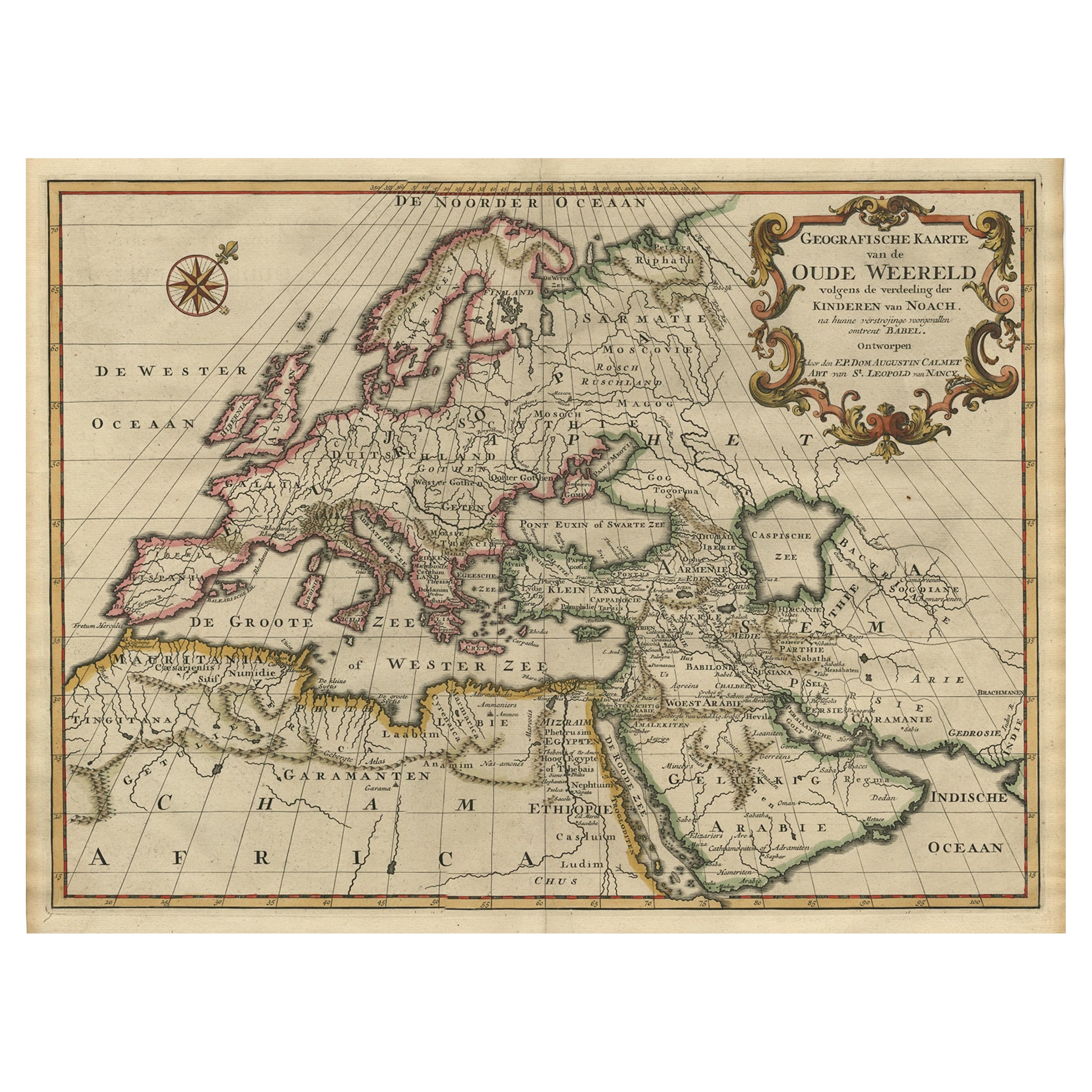
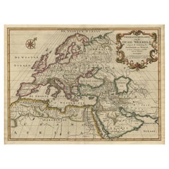
- Ancient World Map of Europe, Asia & Northern Africa with Ancient Names, 1725Located in Langweer, NLAntique map titled 'Geografische Kaarte van de Oude Weereld (..).' Original antique map of the ancient world depicting Europe, Asia, and northern Africa with ancient place names....Category
Antique 1720s Maps
MaterialsPaper
 $1,030 Sale Price24% Off
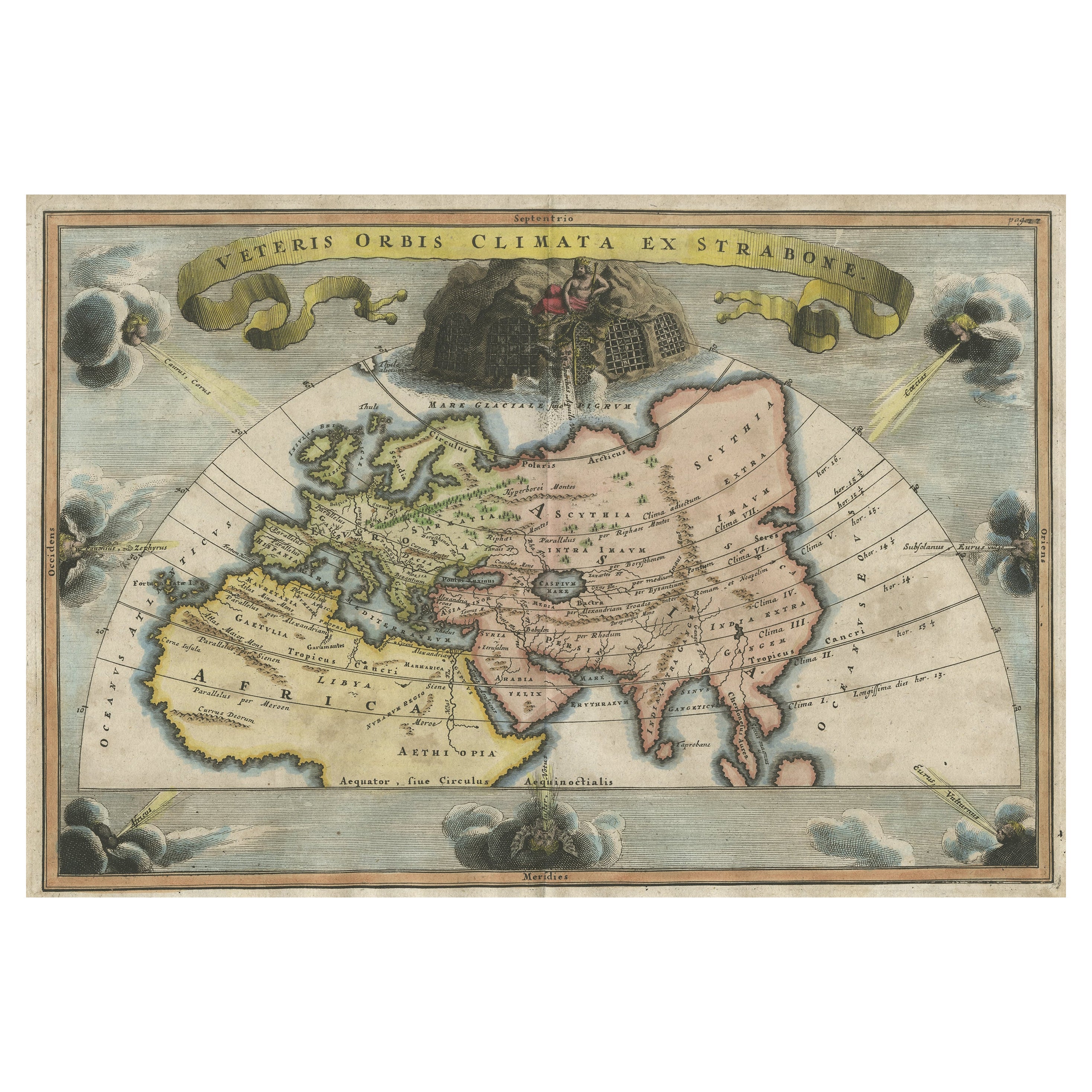
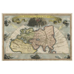
 - Decorative Ancient World Map with Large Parts of the World Still Unknown, c 1731Located in Langweer, NLInteresting ancient map of the world, based upon Strabo. The Southern tip of Africa is undiscovered. No sign of Japan, the Korean Peninsula or Australia and Oceana. Excellent NE Pass...Category
Antique 1730s Maps
MaterialsPaper
 $395 Sale Price20% Off
 - World Relief MapLocated in Antwerp, BELarge world relief map. Measures: Width 232 cm. Height 158 cm.Category
Mid-20th Century German Mid-Century Modern Maps
MaterialsAcrylic
 $1,977
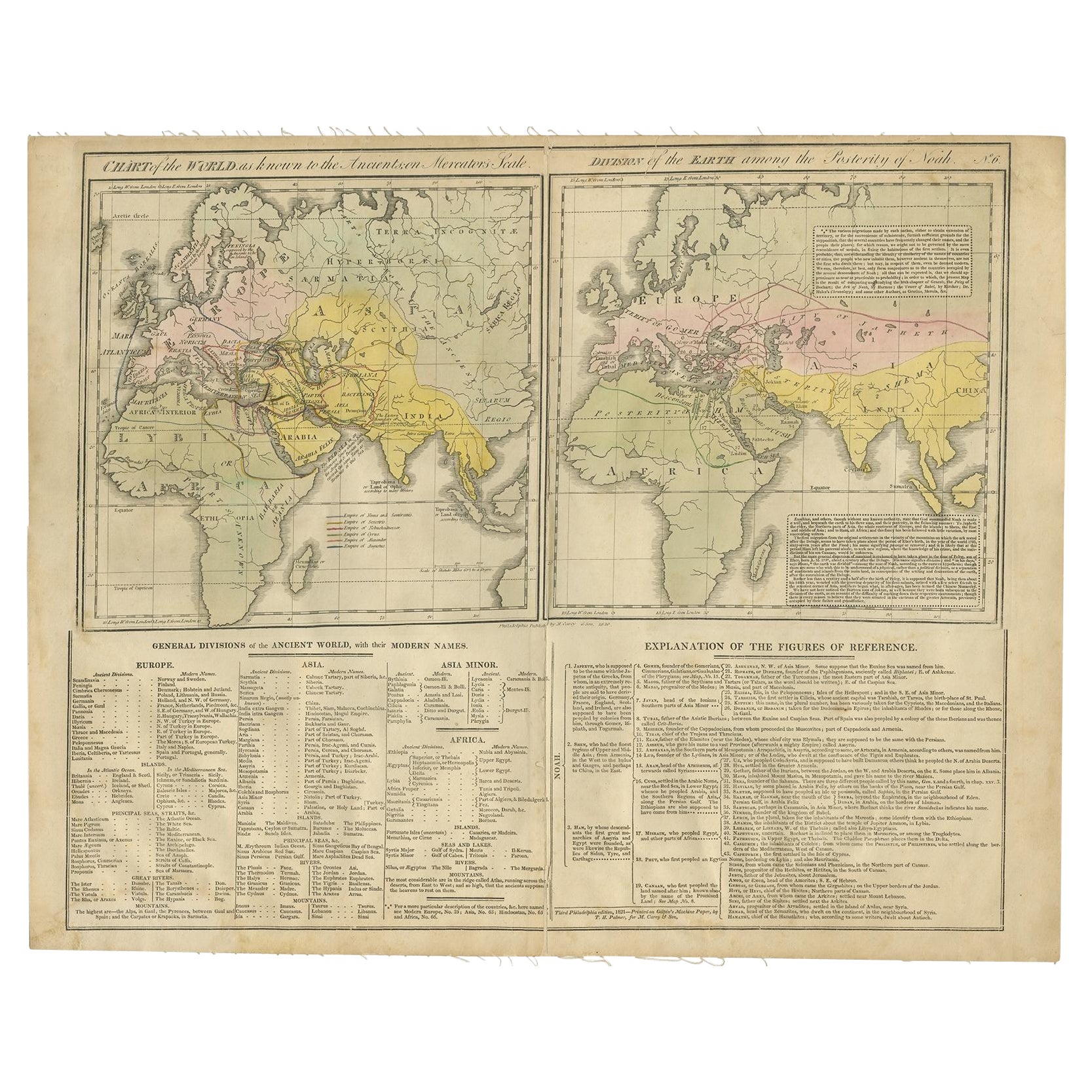
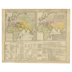
 - Maps of the Ancient World and the Posterity of Noah, 1820Located in Langweer, NLTwo maps on one sheet. Hhand colored engraved lithograph, depicting the world as known to the Ancients on Mercator's projection and the Posterity of Noah. The first showns the Empire...Category
Antique 19th Century Prints
MaterialsPaper
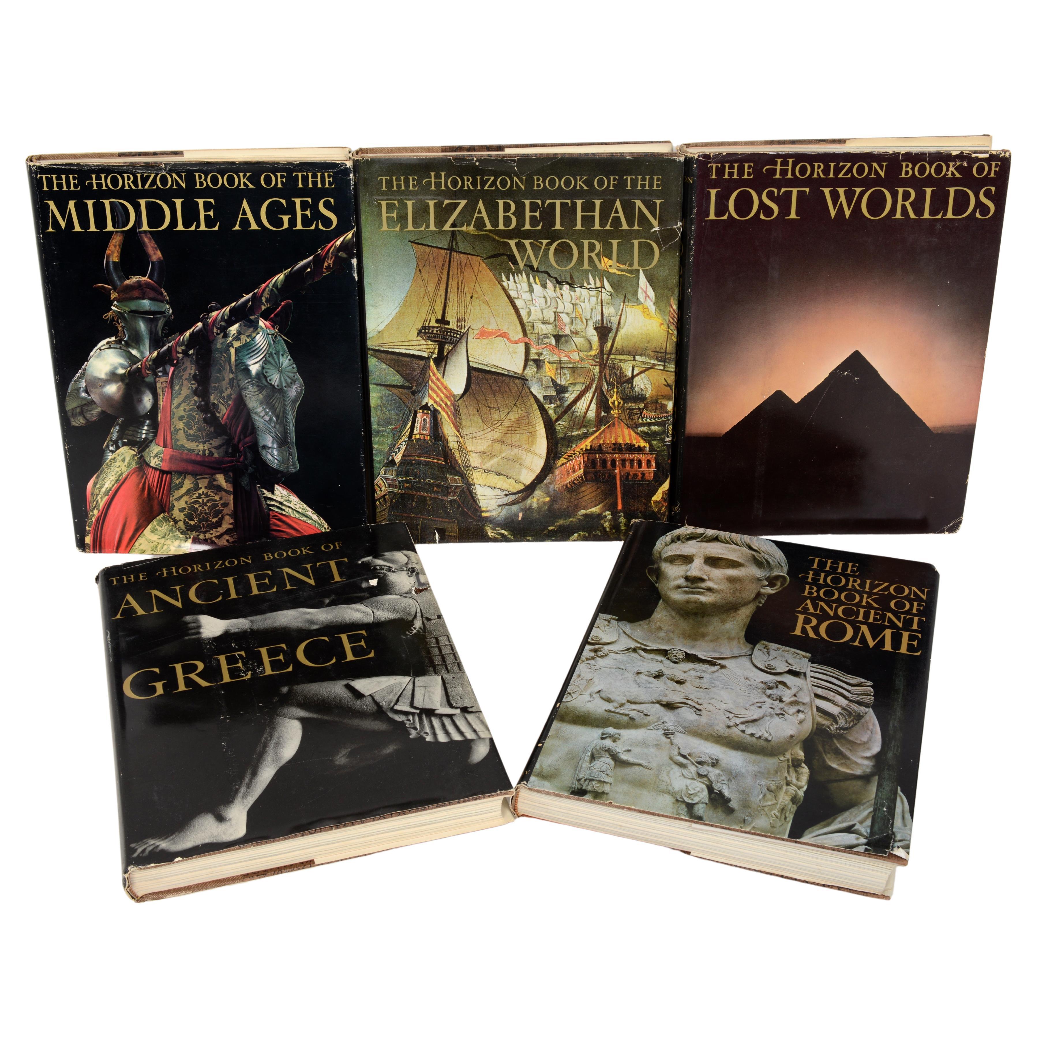
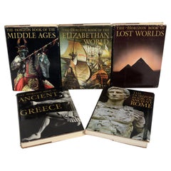
- Set 5, Ancient Rome, Ancient Greece, Lost Worlds, Middle Ages, Elizab, WorldLocated in valatie, NYSet of 5 Books: Ancient Rome, Ancient Greece, Lost Worlds, Middle Ages, Elizabethan World. New York: American Heritage Publishing Co. Ancient Rome: in an age when Latin has become ra...Category
Vintage 1960s American Books
MaterialsPaper
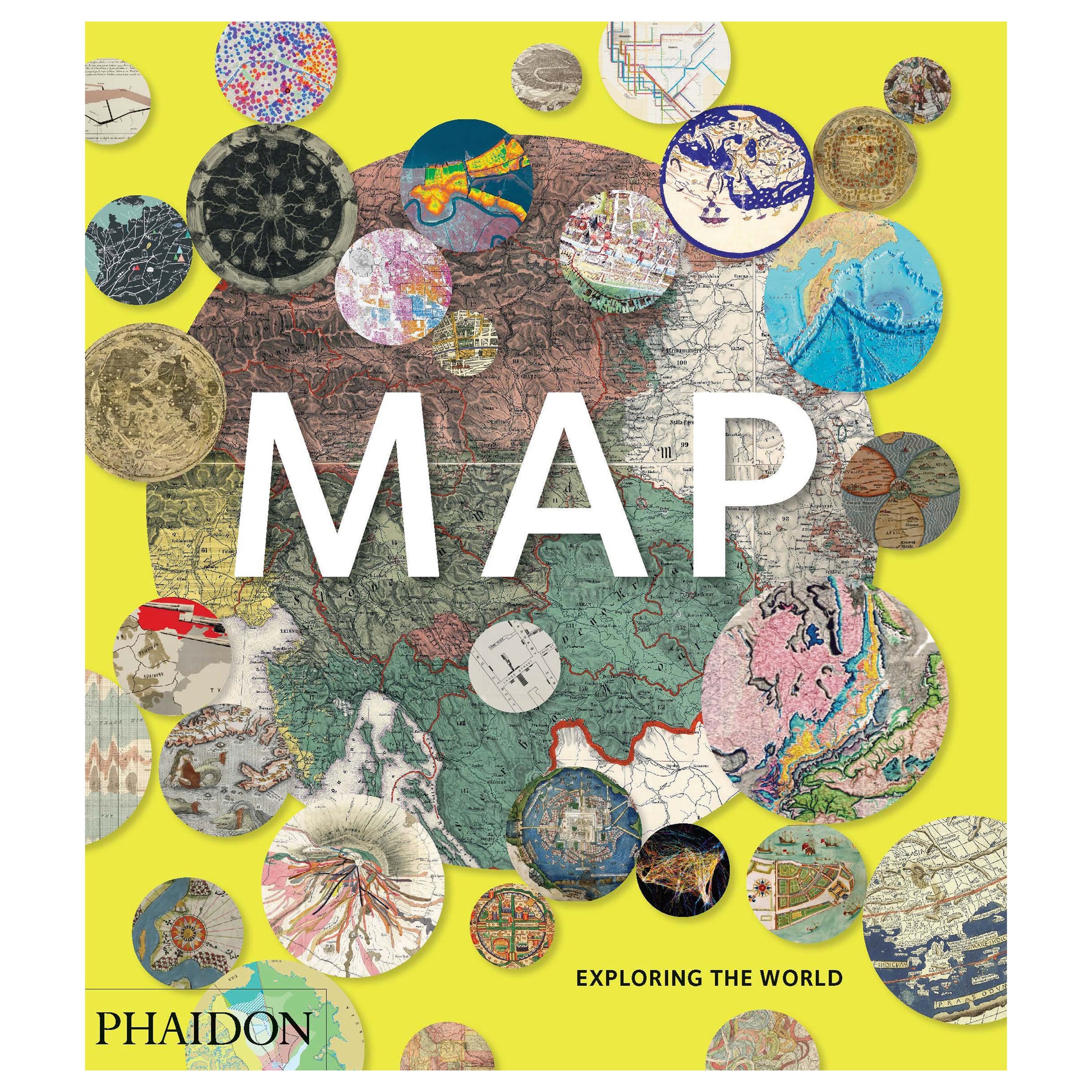
- Map, Exploring The WorldLocated in New York City, NY300 stunning maps from all periods and from all around the world, exploring and revealing what maps tell us about history and ourselves. Selected by an international panel of cartographers, academics, map dealers and collectors, the maps represent over 5,000 years of cartographic innovation drawing on a range of cultures and traditions. Comprehensive in scope, this book features all types of map from navigation and surveys to astronomical maps, satellite and digital maps, as well as works of art inspired by cartography. Unique curated sequence presents maps in thought-provoking juxtapositions for lively, stimulating reading. Features some of the most influential mapmakers and institutions in history, including Gerardus Mercator, Abraham Ortelius, Phyllis Pearson, Heinrich Berann...Category
21st Century and Contemporary Hong Kong Books
MaterialsPaper
 $60 / item
Recently Viewed
View AllMore Ways To Browse
Pull Down Maps
Pull Down Map
Retro Pull Down Maps
Pull Down School Maps
Pull Down School Map Vintage
Pull Down World Map
Russian Collectable
Office World Map
Sea Collectables
Antique Curiosities Prints
Antique Appreciation
United States Map
Antique Collectible Plate
Prints Of Antique Maps
Antique Over A Hundred Years Old
Antique Furniture Plans
Antique Rare Maps
Rare Antique Maps