Items Similar to 1987 "The Ian Fleming Thriller Map" by Aaron Silverman and Molly Maguire

Want more images or videos?
Request additional images or videos from the seller
1 of 11
1987 "The Ian Fleming Thriller Map" by Aaron Silverman and Molly Maguire
$1,450
£1,094.98
€1,253.65
CA$2,047.78
A$2,235.68
CHF 1,172.08
MX$27,153.25
NOK 14,637.35
SEK 13,821.56
DKK 9,357.19
About the Item
Presented is an original “Ian Fleming Thriller Map,” which features the travels of MI6 Agent 007, James Bond, from author Ian Fleming’s series of fourteen spy novels. The pictorial map was illustrated by John Zeleneck, with graphics by Susan Lewis. It was published by Aaron Blake Publishers in 1987.
The colorful and intriguing map provides an overview of locations for all of Bond’s adventures during the book series. As shown, his escapades as a spy took him across four continents and many countries. With the help of a large key at the bottom, styled as two lounging naked women, each numbered spot on the map is organized by book titles. Specific addresses are indicated, when possible, followed by details on the drinks and games Bond enjoyed, the lovers he took, the guns he used, cars he drove, and the evil villain plots he thwarted.
At right is a prominent illustration of James Bond, who bears a striking resemblance to Sean Connery, one of the many actors who played Bond in the movie adaptations. Bond poses with a handgun and a martini glass. Next to him, a blond “Bond woman” adorned in diamond jewelry holds a bubbling bottle of champagne. The rest of the map is populated with smaller illustrations of a missile, a temple, casino signs, and his iconic Aston Martin.
Ian Fleming’s suspenseful series of novels about James Bond began with Casino Royale in 1953 and ended, upon Fleming’s death, with Octopussy in 1964. Overall, Fleming wrote two short stories and twelve novels featuring the memorable spy. Fleming’s work for the British Naval Intelligence provided the background for his spy novels, and his suave and mysterious character was based on a number of men Fleming had met during his time in the 30 Assault Unit.
CONDITION:
Very good condition, overall. Clean and very colorful, issued folding with minor wear along the folds and some slight waviness to the paper. Archivally framed in a custom-built black frame with UV Conservation Clear glass.
Framed Dimensions: 25 1/4"H x 31 3/4"W x 1 1/8"D.
Accompanied by our company's letter of authenticity.
- Dimensions:Height: 25.25 in (64.14 cm)Width: 31.75 in (80.65 cm)Depth: 1.13 in (2.88 cm)
- Style:Modern (In the Style Of)
- Materials and Techniques:
- Place of Origin:
- Period:1980-1989
- Date of Manufacture:1987
- Condition:Additions or alterations made to the original: Archival framing by Artem Art Services in Colorado Springs, CO, in March of 2025. Wear consistent with age and use.
- Seller Location:Colorado Springs, CO
- Reference Number:Seller: M3801stDibs: LU909746084232
About the Seller
4.9
Vetted Professional Seller
Every seller passes strict standards for authenticity and reliability
Established in 2010
1stDibs seller since 2011
465 sales on 1stDibs
- ShippingRetrieving quote...Shipping from: Colorado Springs, CO
- Return Policy
Authenticity Guarantee
In the unlikely event there’s an issue with an item’s authenticity, contact us within 1 year for a full refund. DetailsMoney-Back Guarantee
If your item is not as described, is damaged in transit, or does not arrive, contact us within 7 days for a full refund. Details24-Hour Cancellation
You have a 24-hour grace period in which to reconsider your purchase, with no questions asked.Vetted Professional Sellers
Our world-class sellers must adhere to strict standards for service and quality, maintaining the integrity of our listings.Price-Match Guarantee
If you find that a seller listed the same item for a lower price elsewhere, we’ll match it.Trusted Global Delivery
Our best-in-class carrier network provides specialized shipping options worldwide, including custom delivery.More From This Seller
View All1943 "USO Map Guide to Washington"
Located in Colorado Springs, CO
This is a WWII map of Washington, DC, issued as a guide for service men and women visiting or working in the city during the war. The map was created by Allen F. Free and published a...
Category
Vintage 1940s American Mid-Century Modern Maps
Materials
Paper
The Spy Who Loved Me by Ian Fleming, First Us Edition, 1962
Located in Colorado Springs, CO
Fleming, Ian. The Spy Who Loved Me. New York: The Viking Press, Inc., 1962. First US edition, first printing. Octavo. Presented in the publisher's original dust jacket and original cloth boards. With new archival quarter leather and cloth clamshell archival case.
This is the first US edition of Ian Fleming’s tenth James Bond thriller, The Spy Who Loved Me. The book is presented in the publisher’s original boards and dust jacket, with Richard Chopping’s classic artwork...
Category
Vintage 1960s Books
Materials
Paper
1939 "A Good-Natured Map of the United States" by Greyhound
Located in Colorado Springs, CO
Presented is an original 1939 map, titled “A Good-Natured Map of the United States Setting Forth the Services of the Greyhound Lines and a Few Principal Connecting Bus Lines.” This brightly colored pictographic map was one of several similar United States maps...
Category
Vintage 1930s American Art Deco Maps
Materials
Paper

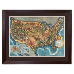
1960 "The 50 United States of America" Pictorial Map by Lorin Thompson
Located in Colorado Springs, CO
This colorful map of the United States was drawn by Lorin Thompson and published by the General Foods Corporation in 1960. The map was issued as a promotional pamphlet in advance of the 1960 presidential election. The cover title for the pamphlet reads: "Election Map and 1960 Presidential Fact Sheet...Yours Free with Any Purchase of Gravy Train."
The map has a unique pictorial style with bright colors and dynamic illustrations celebrating key moments of American history. The map is illustrated with past presidents, Native Americans, depictions of the "Golden Spike...
Category
Vintage 1960s Mid-Century Modern Prints
Materials
Paper
$1,750 Sale Price
22% Off
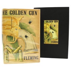
The Man With the Golden Gun by Ian Fleming, First Edition, in Original DJ, 1965
By Ian Fleming
Located in Colorado Springs, CO
Fleming, Ian. The Man with the Golden Gun. London: Jonathan Cape, 1965. First edition, second state printing. Octavo printing. In the original publisher’s black cloth boards with gil...
Category
Vintage 1960s English Mid-Century Modern Books
Materials
Paper
1859 "Map of the United States of America..." by J. H. Colton
By J.H. Colton
Located in Colorado Springs, CO
Presented is an 1859 “Map of the United States of America, the British Provinces, Mexico, the West Indies and Central America with Part of...
Category
Antique 1850s American Maps
Materials
Paper

You May Also Like
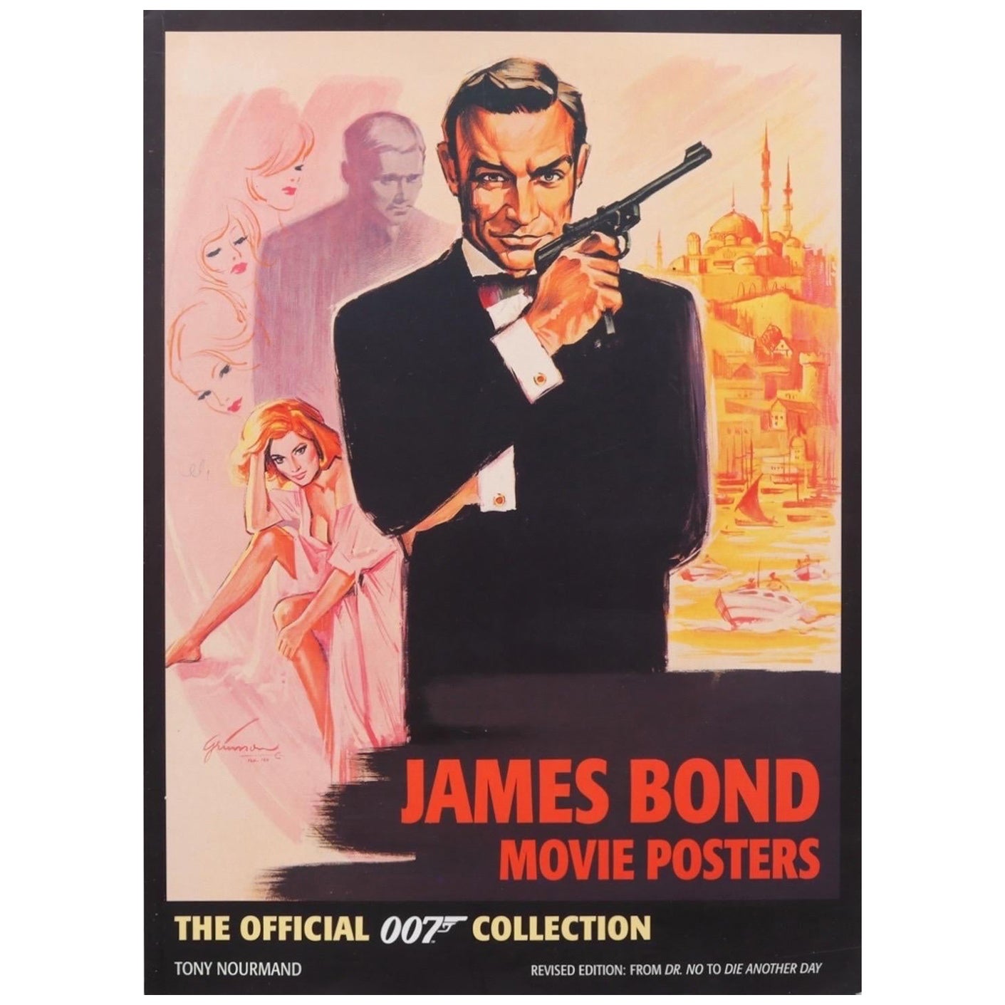
James Bond Movie Posters by Tony Nourmand
Located in Bradenton, FL
James Bond Movie Posters, the official 007 collection by Tony Nourmand, revised edition: from Dr. No to Die Another Day. Softcover book publis...
Category
21st Century and Contemporary British Books
Materials
Paper

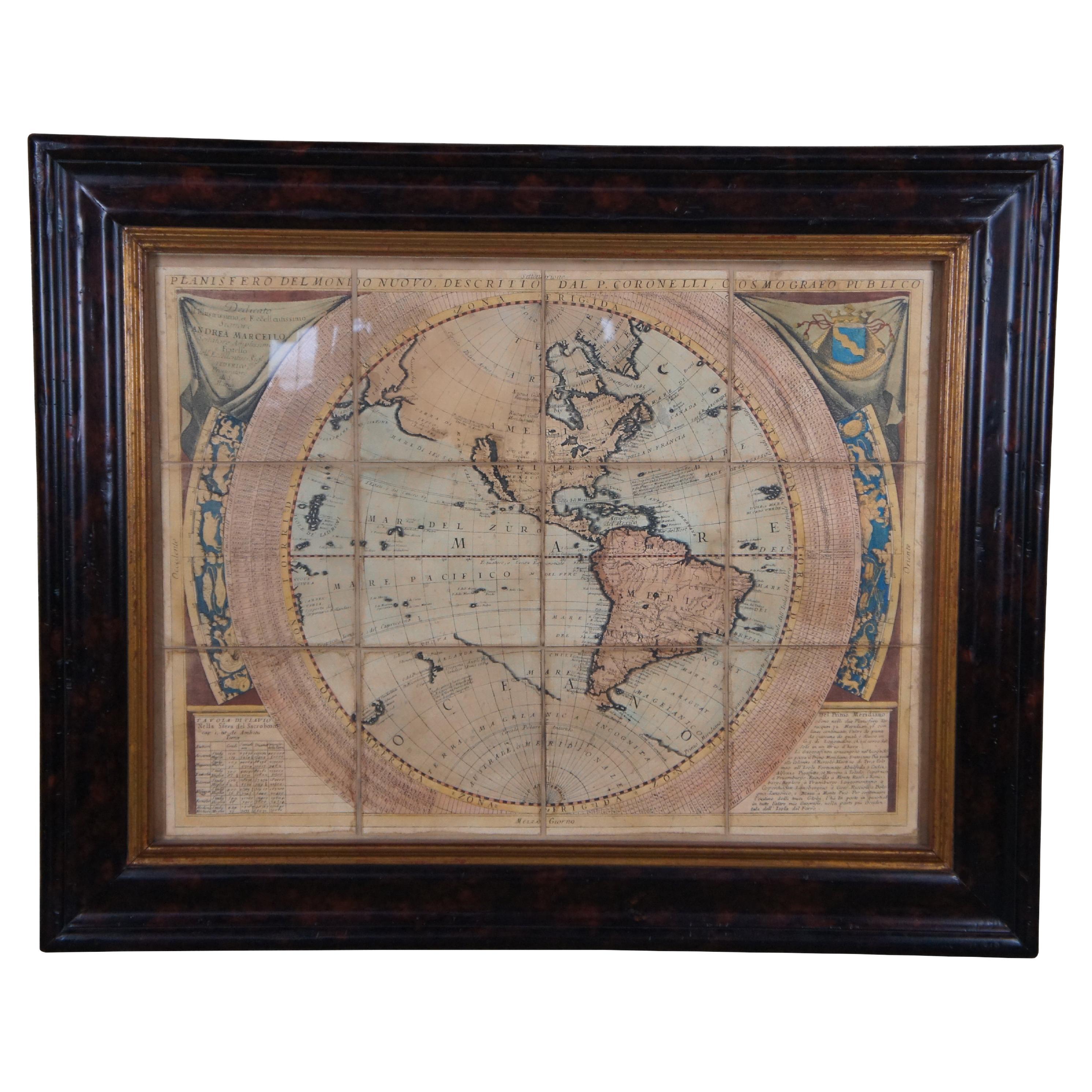
Vincenzo Coronelli's Colored Map of the New World Western Hemisphere Framed 47"
By Vincenzo Coronelli
Located in Dayton, OH
A Framed Reproduction of Coronelli's Map of the New World, Attributed to Trevor James Company. The map shows the Western Hemisphere including the discoveries made by Abel Tasman in A...
Category
20th Century Maps
Materials
Paper

$1,080 Sale Price
20% Off
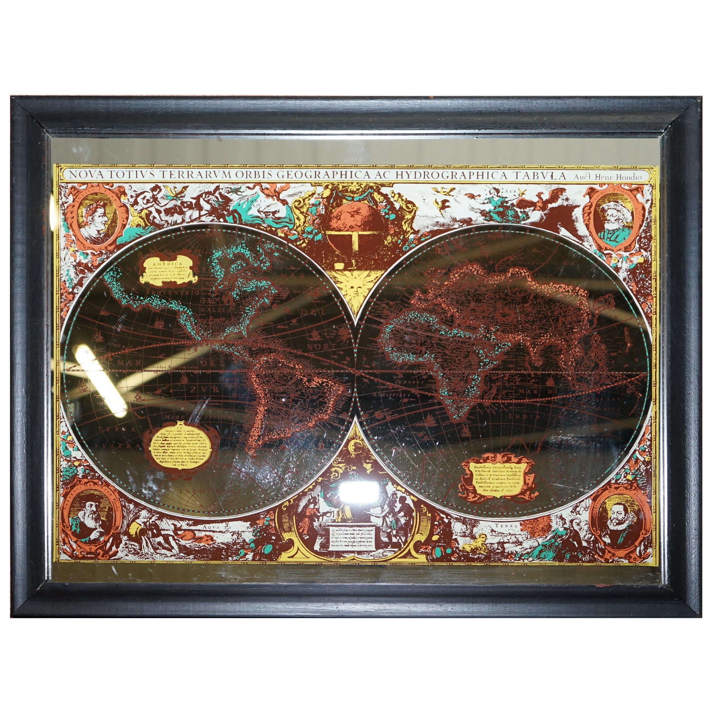
Vintage World Map Mirror Based on the Original by Johnson 1882 Military Campaign
Located in West Sussex, Pulborough
We are delighted to offer for sale this lovely Antique style pictorial plan map of the globe based on the original by Johnson in 1882
This is a very interesting and decorative pie...
Category
20th Century English Campaign Maps
Materials
Mirror

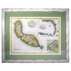
Curaçao map - C. van Baarsel en zoon
Located in UTRECHT, UT
“Kaart van het eiland Curaçao.”, “Algemeene kaart der Caraïbische eilanden”, “Plan van het fort Amsterdam op Curaçao” from the atlas “Atlas der overzeesche bezittingen van Zijne Maje...
Category
Antique 1810s Dutch Other Maps
Materials
Paper
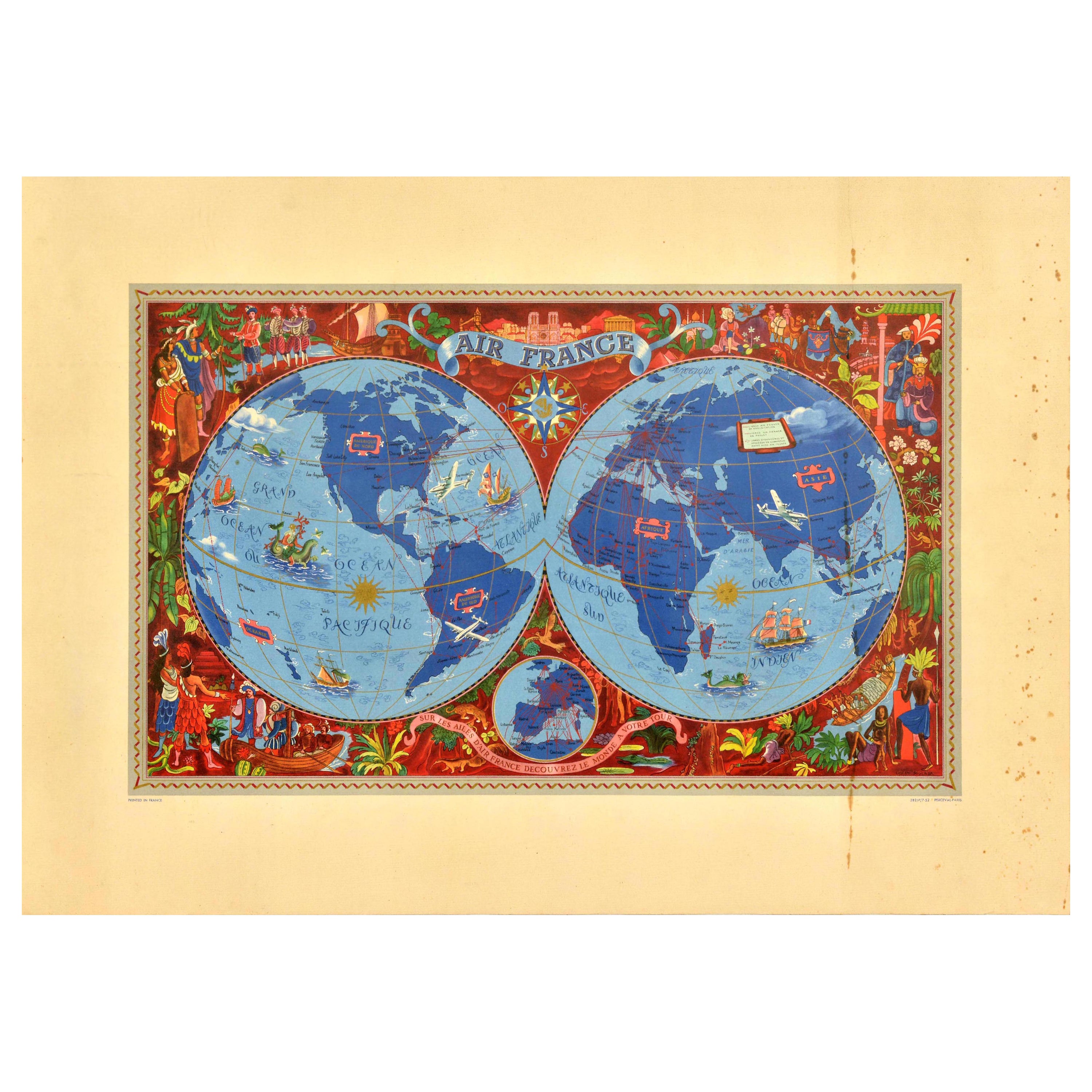
Original Vintage Travel Poster Air France Planisphere Illustrated Map Boucher
By Lucien Boucher
Located in London, GB
Original vintage travel poster advertising Air France featuring a stunning planisphere design by the French artist Lucien Boucher (1889-1971). C...
Category
Vintage 1950s French Posters
Materials
Paper
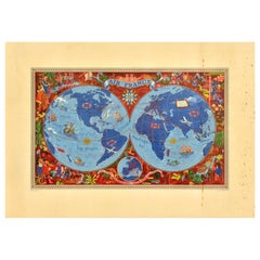
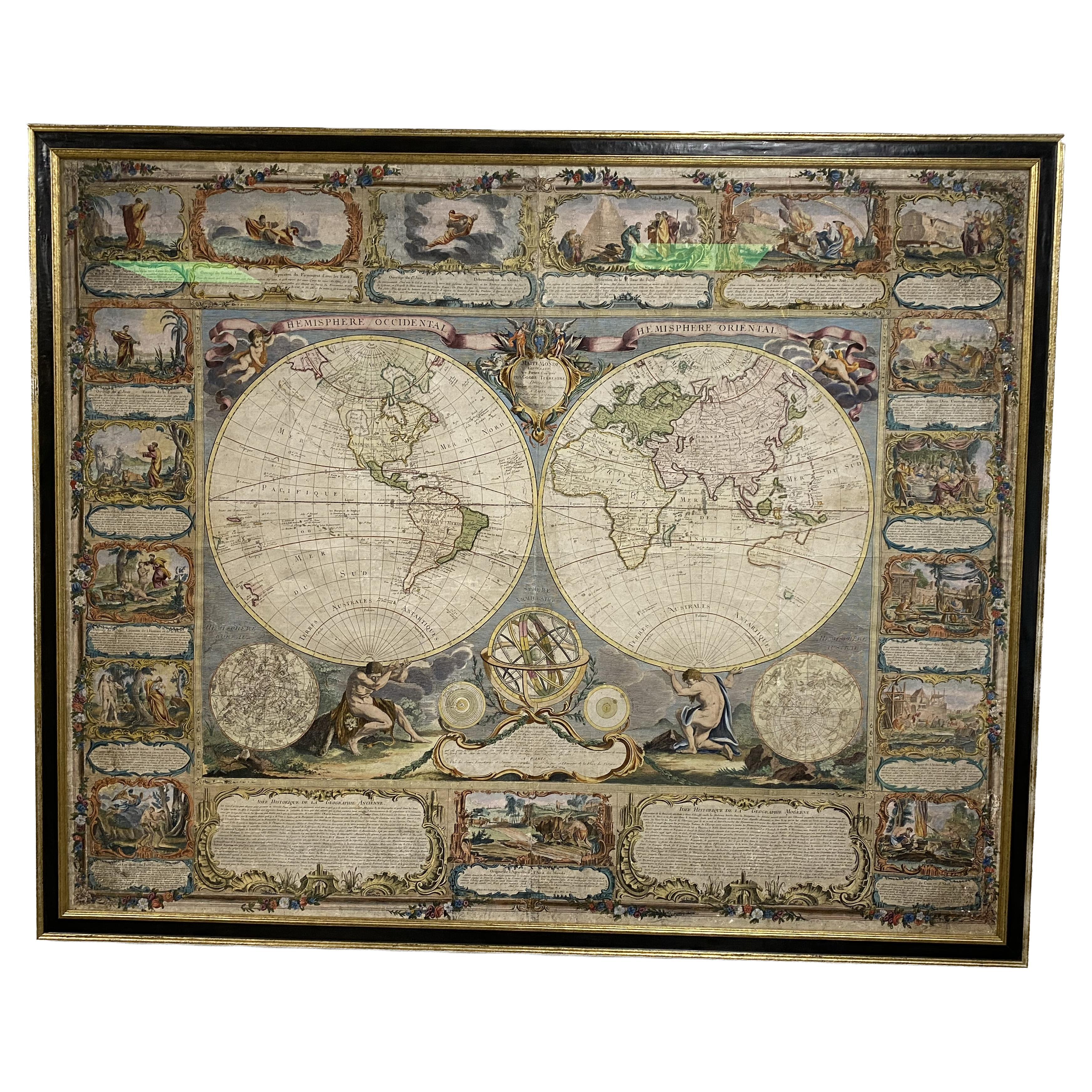
Colored wall map of the WORLD
By Chambon
Located in ZWIJNDRECHT, NL
“Mappe Monde, contenant les Parties Connues du Globe Terrestre”
CHAMBON, Gobert-Denis (France, 17.. - 1781)
Paris, Longchamps et Janvier, 1754
Size H. 115 x W. 145 cm.
Gobert-Denis Chambon made copper engraving after the work of Guillaume De L’Isle, published in 1754 by Jean Janvier and S.G. Longschamps.
A huge wall map of the world in two hemispheres printed on two sheets, depicting the Eastern and Western hemispheres supported by two male figures, decorated at the bottom right and left with two celestial hemispheres (boreal and southern) and at the bottom in the middle with an armillary sphere, in addition.
This map is most notable for its depiction of the Sea of Japan labeled "Mer de Corée" and of "Mer de L'Ouest" or Sea of the West - a great sea, easily the size of the Mediterranean, to flow from the then-known Strait of Juan de Fuca...
Category
Antique Mid-18th Century French French Provincial Maps
Materials
Wood, Paper

More Ways To Browse
The Vintage Map
007 James Bond
Vintage Illustrated Maps
Pictorial Map
Vintage Bottle Of Champagne
Aston Martin
Vintage Pictorial Maps
Maguire Furniture
Beni Ourain Rugs
Glass Top Wood Base Coffee Tables
T Chair
Pair Of Danish Chairs
Veneer Dining Tables
1970 Italian Armchair
Furniture Uk
House Of Denmark Table And Chairs
Louis Marble Top Side Table
Antique Russian Rugs