Items Similar to Antique Engraving with a Plan of Rhodes, Greece, 1688
Want more images or videos?
Request additional images or videos from the seller
1 of 6
Antique Engraving with a Plan of Rhodes, Greece, 1688
About the Item
Description: Antique map, titled: 'Rhodos.' - Plan of Rhodes, Greece. This map originates from 'Nauwkeurige Beschrijving der eilanden in de in de Archipel der Middellantsche Zee', by O. Dapper, published in The Netherlands 1688.
Artists and Engravers: Made by 'Olfert Dapper' after an anonymous artist. Olfert Dapper (c. 1635 - 1689) was a Dutch physician and writer. He wrote books about history and geography, although he never travelled outside Holland. Until today, his book Description of Africa (1668) is a key text for Africanists.
- Dimensions:Height: 12.21 in (31 cm)Width: 7.88 in (20 cm)Depth: 0 in (0.02 mm)
- Materials and Techniques:
- Period:1680-1689
- Date of Manufacture:1688
- Condition:Very good, given age. General age-related toning and/or occasional minor defects from handling. Please study scan carefully.
- Seller Location:Langweer, NL
- Reference Number:
About the Seller
5.0
Platinum Seller
These expertly vetted sellers are 1stDibs' most experienced sellers and are rated highest by our customers.
Established in 2009
1stDibs seller since 2017
1,928 sales on 1stDibs
Typical response time: <1 hour
- ShippingRetrieving quote...Ships From: Langweer, Netherlands
- Return PolicyA return for this item may be initiated within 14 days of delivery.
More From This SellerView All
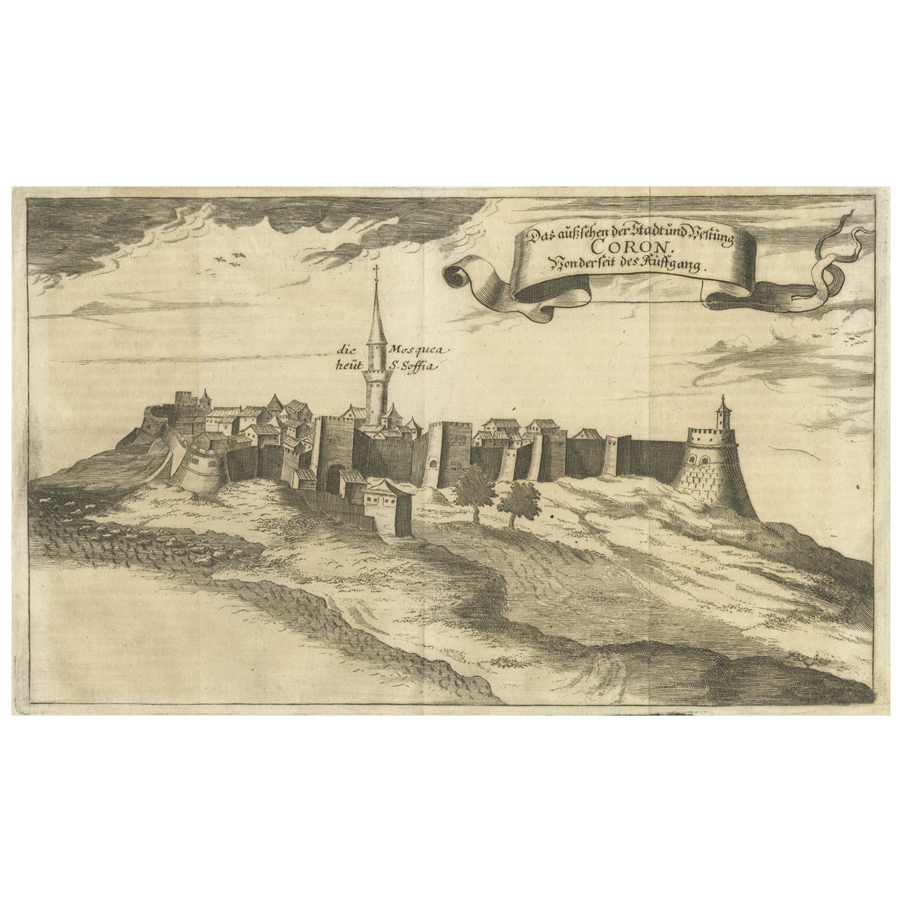
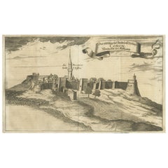
- Original Copper Engraving of Koroni 'or Corone', Greece, 1688Located in Langweer, NLAntique print titled 'Das Aussehen der Stadt und Vestung Coron von der Seit des Auffgang'. Copper engraving of Koroni (or Corone), Greece. This print originates from 'Ruhm-belorb...Category
Antique 1680s Maps
MaterialsPaper
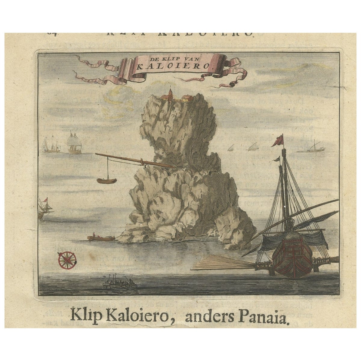
- Encoloured Engraving of Cliff Kaloiero or Caloiero Island, Panaia, Greece, 1688Located in Langweer, NLAntique print Greece titled 'De Klip van Kaloiero'. Old print of the Island Kaloiero or Panaia, Greece. This print originates from 'Nauwkeurige Be...Category
Antique 17th Century Prints
MaterialsPaper
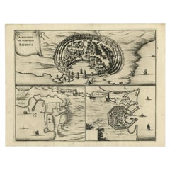
- Antique Engravings, One Sheet with 3 Bird's Eye Plans of Rhodes, Greece, 1677Located in Langweer, NLAntique map, titled: 'Afbeelding der Oude Stad Rhodus (…).' - Sheet with 3 bird's eye plans of Rhodes, Greece. Source unknown, to be determined. Artists and Engravers: Made by ...Category
Antique 17th Century Prints
MaterialsPaper
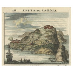
- Antique Print of a Greece Island, Most Likely Gavdopoula South of Crete, 1688Located in Langweer, NLDescription: Untitled print of one of the islands of Greece, most likely Gavdopoula (located south of Crete). Gavdopoula is an islet located north-west of its larger neighbour, G...Category
Antique 1680s Maps
MaterialsPaper
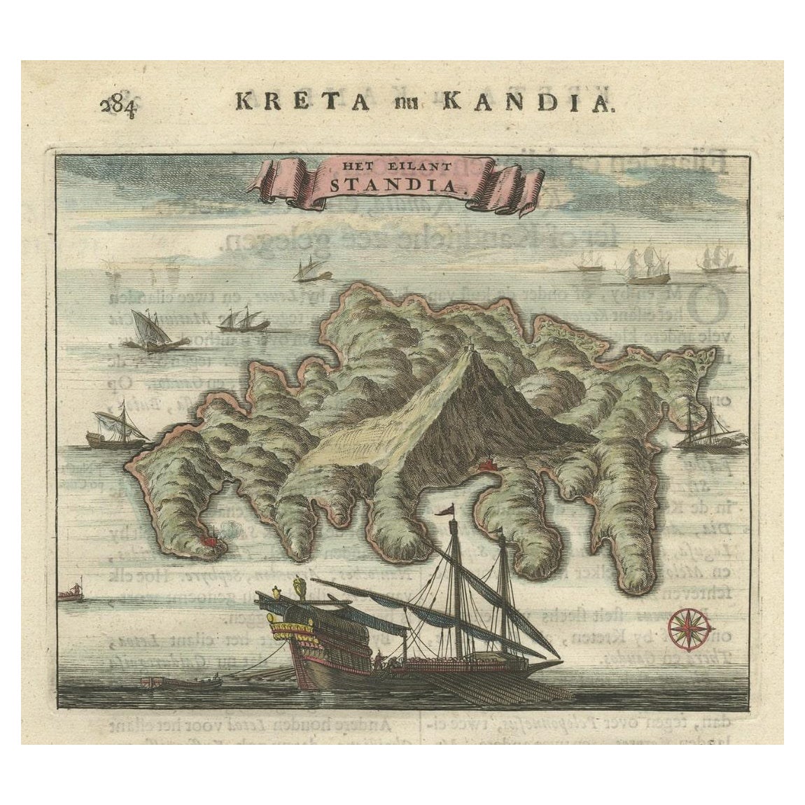
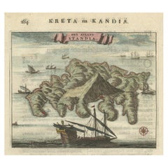
- Old Print of Standia, a Greek Island 'Heraklion, Crete, Greece, Balkans', 1688Located in Langweer, NLAntique print Greece titled 'Het Eilant Standia'. Old print of the island Standia, near Crete, Greece. This print originates from 'Nauwkeurige Bes...Category
Antique 17th Century Prints
MaterialsPaper
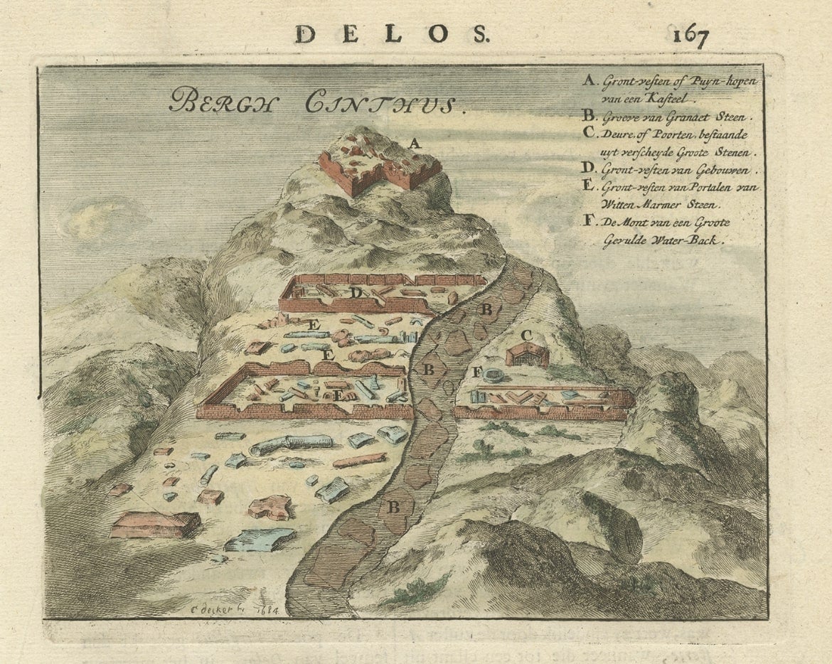
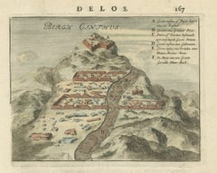
- Original Antique Print of Mount Cinthus on the isle of Delos, Greece, 1688Located in Langweer, NLAntique print Greece titled 'Bergh Cinthus'. Old print of Mount Cinthus (birth place of Apollo), Delos, Greece. This print originates from 'Nauwkeurige Beschrijving der eilanden in de in de Archipel der Middellantsche Zee' by O. Dapper. Mount Cynthus (Kýnthos) is located on the isle of Delos, part of the Greek Cyclades. In Greek mythology, Leto gave birth to Apollo and Artemis...Category
Antique 17th Century Prints
MaterialsPaper

You May Also Like
- Original Antique City Plan of Milwaukee, USA, 1894By Rand McNally & Co.Located in St Annes, LancashireFabulous colorful map of Milwaukee Original color By Rand, McNally & Co. Published, 1894 Unframed Free shipping.Category
Antique 1890s American Maps
MaterialsPaper
- Plan of Paris, France, by A. Vuillemin, Antique Map, 1845Located in Colorado Springs, COThis large and detailed plan of Paris was published by Alexandre Vuillemin in 1845. The map conveys a wonderful amount of information and is decorated throughout with pictorial vigne...Category
Antique 1840s American Maps
MaterialsPaper
- Original Antique City Plan of Kansas City, USA. 1894By Rand McNally & Co.Located in St Annes, LancashireFabulous colorful map of Kansas City Original color By Rand, McNally & Co. Published, 1894 Unframed Slightly reduced bottom margin. Free shipping.Category
Antique 1890s American Maps
MaterialsPaper
- Large Original Antique City Plan of Baltimore, USA, 1894By Rand McNally & Co.Located in St Annes, LancashireFabulous colorful map of Baltimore Original color By Rand, McNally & Co. Published, 1894 Unframed Free shipping.Category
Antique 1890s American Maps
MaterialsPaper
- Large Original Antique City Plan of Detroit, USA, 1894By Rand McNally & Co.Located in St Annes, LancashireFabulous colorful map of Detroit Original color By Rand, McNally & Co. Published, 1894 Unframed Free shipping.Category
Antique 1890s American Maps
MaterialsPaper
- Antique "New Plan of London" Map by John Bartholomew, 1900Located in Bridgeport, CTProduced for the W.H. Smith guide, folded in the original. The map here is unfolded and framed flat, with transportation routes shown and color details. sight 22 x 32" (original ful...Category
Antique Early 1900s English Victorian Maps
MaterialsPaper


Recently Viewed
View AllMore Ways To Browse
Paris Antique Map
Vintage Map World
Vintage Maps World
Map Of Indonesia
Antique Map Coats Of Arms
Antique Book Map France
Cornelius And Company
Map Of Siam
Antique Map Of Sri Lanka
Map Of Liverpool
Georgetown Antique
Antique Map Mexico City
Map Of Gulf Of Mexico
Tartar Map
Authentic Pirate
Nova Scotia Map
Antique Map Delaware
Vintage Road Maps Collectables