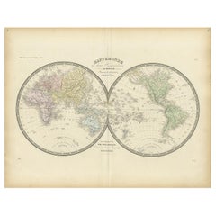
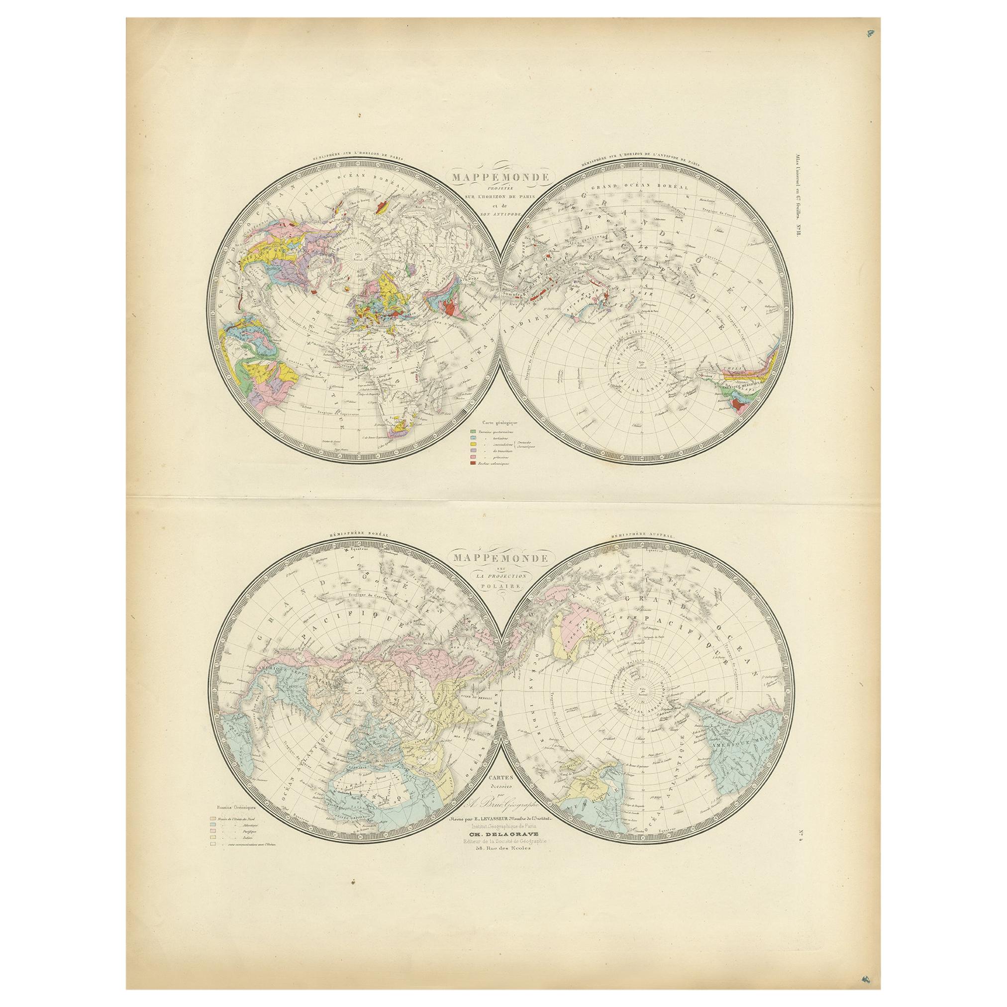
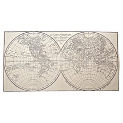
Antique Hemisphere Map of the World by Levasseur, 1875
View Similar Items


Want more images or videos?
Request additional images or videos from the seller
1 of 5
Antique Hemisphere Map of the World by Levasseur, 1875
About the Item
- Dimensions:Height: 18.71 in (47.5 cm)Width: 24.02 in (61 cm)Depth: 0.02 in (0.5 mm)
- Materials and Techniques:
- Period:
- Date of Manufacture:1875
- Condition:General age-related toning, minor wear. Few small holes, also affecting image. Original folding line, blank verso. Please study images carefully.
- Seller Location:Langweer, NL
- Reference Number:Seller: BG-12257-31stDibs: LU3054320221762
About the Seller
5.0
Platinum Seller
These expertly vetted sellers are 1stDibs' most experienced sellers and are rated highest by our customers.
Established in 2009
1stDibs seller since 2017
1,932 sales on 1stDibs
More From This SellerView All
- Antique Hemisphere Map of the World 'Two on One Sheet' by Levasseur, '1875'Located in Langweer, NLAntique map titled 'Mappemonde projetée sur l'Horizon de Paris et de son Antipode - Mappemonde sur la projection polaire'. Large map with two hemisphere world maps...Category
Antique Late 19th Century Maps
MaterialsPaper
 $329 Sale Price40% Off
 - Antique Map of Siberia by Levasseur '1875'Located in Langweer, NLAntique map titled 'Carte de la Russie d'Asie Sibérie'. Large map of Siberia. This map originates from 'Atlas de Géographie Moderne Physique et Politique' by A. Levasseur. Published ...Category
Antique Late 19th Century Maps
MaterialsPaper
- Antique Map of Scandinavia by Levasseur, 1875Located in Langweer, NLAntique map titled 'Carte des Royaumes de Suède, de Norvège et de Danemark'. Large map of Scandinavia. This map originates from 'Atlas de Géographie Moderne P...Category
Antique Late 19th Century Maps
MaterialsPaper
 $356 Sale Price35% Off
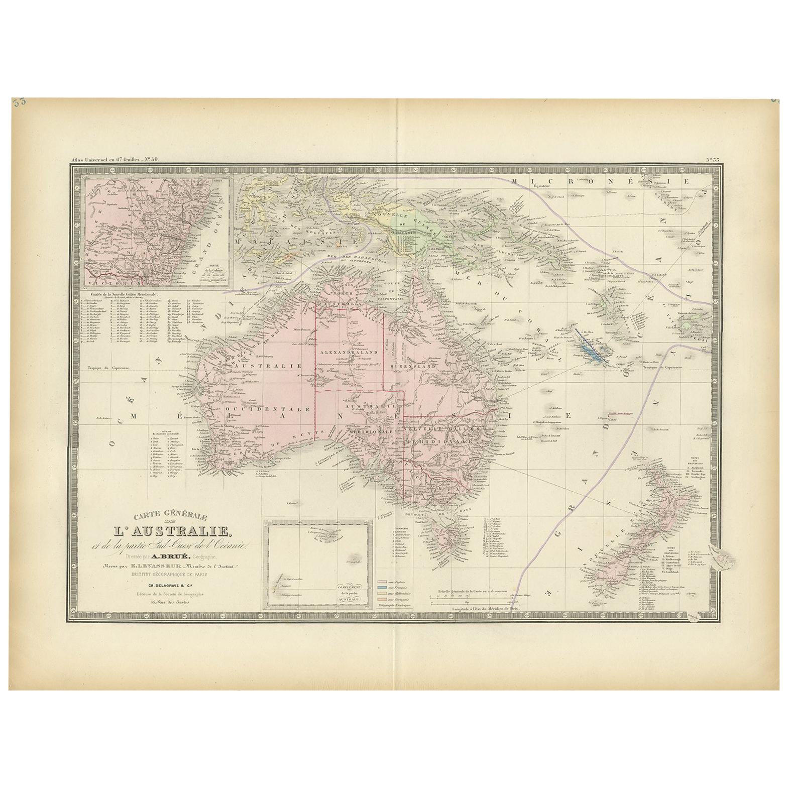
 - Antique Map of Oceania by Levasseur, '1875'Located in Langweer, NLAntique map titled 'Carte générale de l'Océanie'. Large map of Oceania. This map originates from 'Atlas de Géographie Moderne Physique et Politique' by A. Levasseur. Published 1875.Category
Antique Late 19th Century Maps
MaterialsPaper
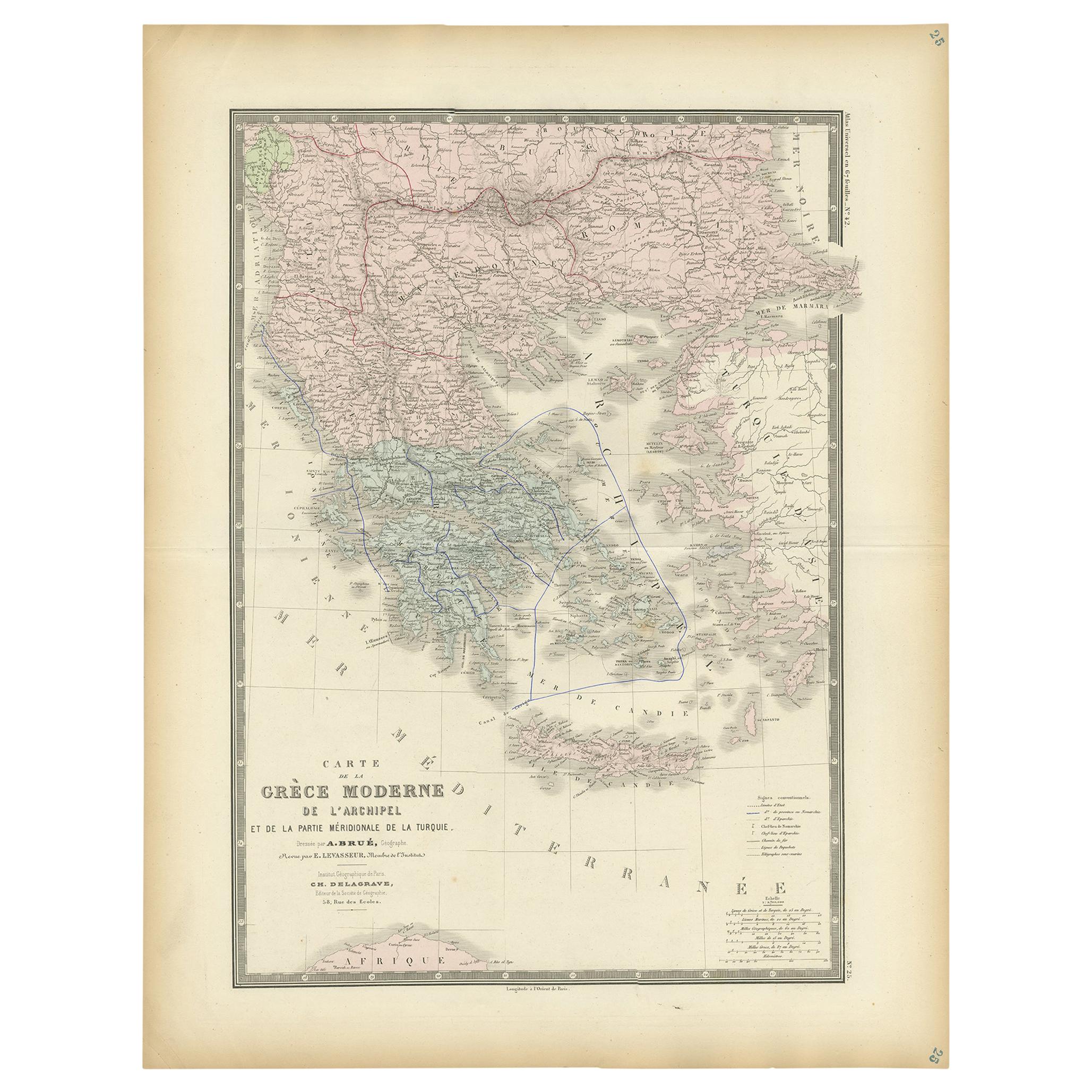
- Antique Map of Greece by Levasseur, '1875'Located in Langweer, NLAntique map titled 'Carte de la Grèce Modernde de l'Archipel'. Large map of Greece. This map originates from 'Atlas de Géographie Moderne Physique et Pol...Category
Antique Late 19th Century Maps
MaterialsPaper
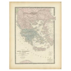 $411 Sale Price25% Off
 - Antique Map of Europe by Levasseur, '1875'Located in Langweer, NLAntique map titled 'Carte générale de l'Europe'. Large map of Europe. This map originates from 'Atlas de Géographie Moderne Physique et Politique' by A. Levasseur. Published 1875.Category
Antique Late 19th Century Maps
MaterialsPaper
 $329 Sale Price40% Off


You May Also Like
- Original Antique Map of The World by Thomas Clerk, 1817Located in St Annes, LancashireGreat map of The Eastern and Western Hemispheres On 2 sheets Copper-plate engraving Drawn and engraved by Thomas Clerk, Edinburgh. Published by Mackenzie And Dent, 1817 ...Category
Antique 1810s English Maps
MaterialsPaper
- Original Antique Map of The Netherlands, Engraved by Barlow, Dated 1807Located in St Annes, LancashireGreat map of Netherlands Copper-plate engraving by Barlow Published by Brightly & Kinnersly, Bungay, Suffolk. Dated 1807 Unframed.Category
Antique Early 1800s English Maps
MaterialsPaper
- 1800s French Map of the World in Two Hemispheres - Le Dictionnaire GéographiqueLocated in Montréal, CAMappe-Monde. En deux Hemispheres Pour le Dictionnaire Géographique. Author: Vosgien and Caillot Source / Publication: Le Dictionnaire Géographique, ou Description de toutes les Parti...Category
Antique Early 19th Century French Prints
MaterialsPaper
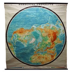
- Northern Hemisphere of the Earth Rollable Map Vintage Wall Chart World MuralLocated in Berghuelen, DEA great pull-down map or vintage wall chart illustrating the northern hemisphere of the earth. Published by Prof. Dr. C. Troll, Flemmings Verlag Ha...Category
Mid-20th Century German Country Prints
MaterialsCanvas, Wood, Paper
- Map of the Republic of GenoaLocated in New York, NYFramed antique hand-coloured map of the Republic of Genoa including the duchies of Mantua, Modena, and Parma. Europe, late 18th century. Dimension: 25...Category
Antique Late 18th Century European Maps
- Antique Map of Italy by Andriveau-Goujon, 1843By Andriveau-GoujonLocated in New York, NYAntique Map of Italy by Andriveau-Goujon, 1843. Map of Italy in two parts by Andriveau-Goujon for the Library of Prince Carini at Palazzo Carini i...Category
Antique 1840s French Maps
MaterialsLinen, Paper
 $3,350 / set


Recently Viewed
View AllMore Ways To Browse
Hemisphere World Map
Mappemonde Antique
Map Of Provence
World Map Rare
Map Plate
Island Maps
Antique Maps Of France
Antique Map Of France
Antique Historical Maps
16th Century World Map
Antique Old Maps
Old Antique Maps
Germany Map
Buy Antique Paper
Folding Maps
Map Of Germany
Antique Ocean
Antique Copper Collectibles