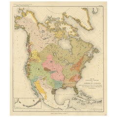
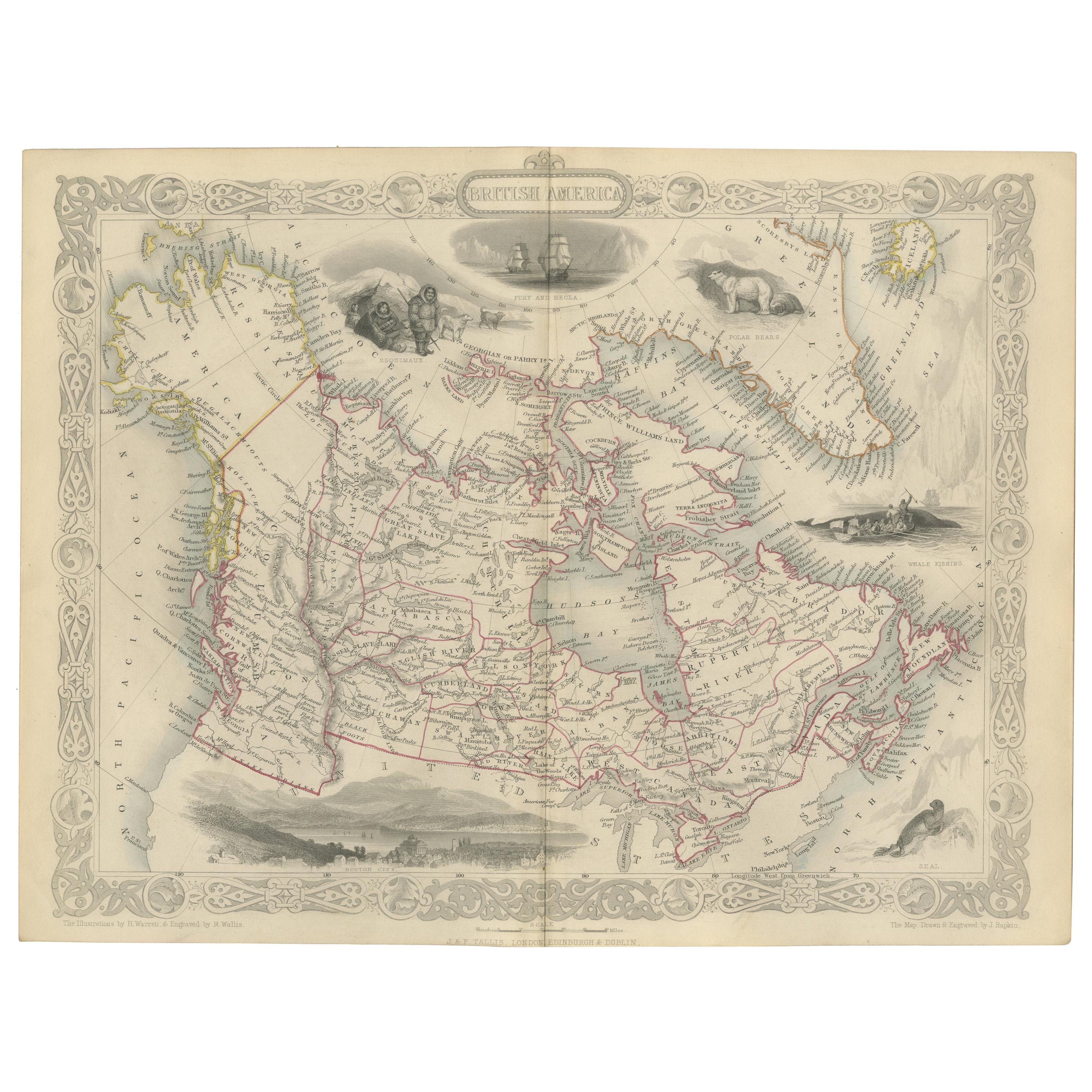
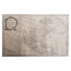
Antique Map of American Indians by J.W. Powell, 1890
View Similar Items


Want more images or videos?
Request additional images or videos from the seller
1 of 5
Antique Map of American Indians by J.W. Powell, 1890
About the Item
- Dimensions:Height: 21.66 in (55 cm)Width: 18.51 in (47 cm)Depth: 0.02 in (0.5 mm)
- Period:
- Date of Manufacture:1890
- Condition:Very good condition, part of left border missing (outside image). General age-related toning, please study image carefully.
- Seller Location:Langweer, NL
- Reference Number:Seller: BG-112351stDibs: LU3054312012123
About the Seller
5.0
Platinum Seller
These expertly vetted sellers are 1stDibs' most experienced sellers and are rated highest by our customers.
Established in 2009
1stDibs seller since 2017
1,947 sales on 1stDibs
More From This SellerView All
- Antique Map of America by Vaugondy, 1778Located in Langweer, NLAntique map titled 'Amerique ou Indes Occidentales (..)'. Vaugondy's map of America, pre-dating information from any of the Cook Voyages. The NW Coast of Amer...Category
Antique Late 18th Century Maps
MaterialsPaper
 $1,236 Sale Price25% Off
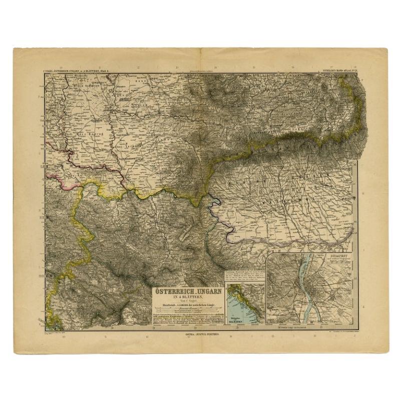
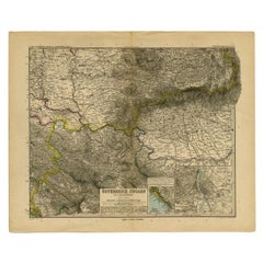
 - Antique Map of Eastern Europe by Stieler, 1890Located in Langweer, NLAntique map titled 'Osterreich-Ungarn in 4 Blattern, Blatt 4.' Map of Eastern Europe, with Montenegro in the lower left corner, the southern edge...Category
Antique 19th Century Maps
MaterialsPaper
 $57 Sale Price20% Off
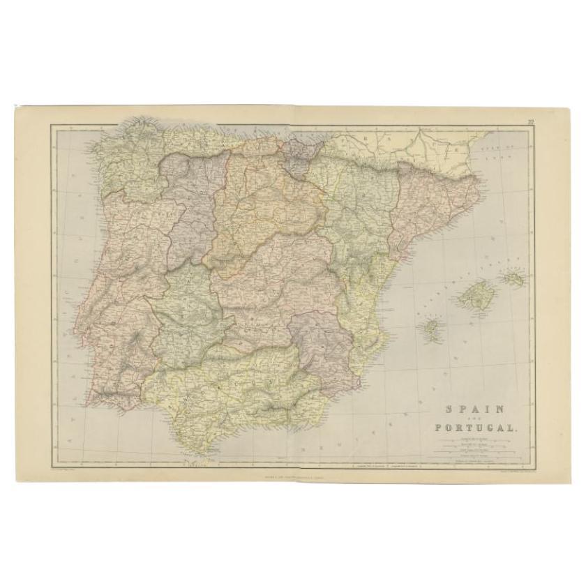
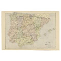
 - Antique Map of Spain and Portugal by Weller, c.1890Located in Langweer, NLAntique map titled 'Spain and Portugal.' Map of Spain and Portugal, with the Balearic Islands (Mallorca, Menorca, Ibiza and Formentera). Sheet 22 from an unidentified British atlas p...Category
Antique 19th Century Maps
MaterialsPaper
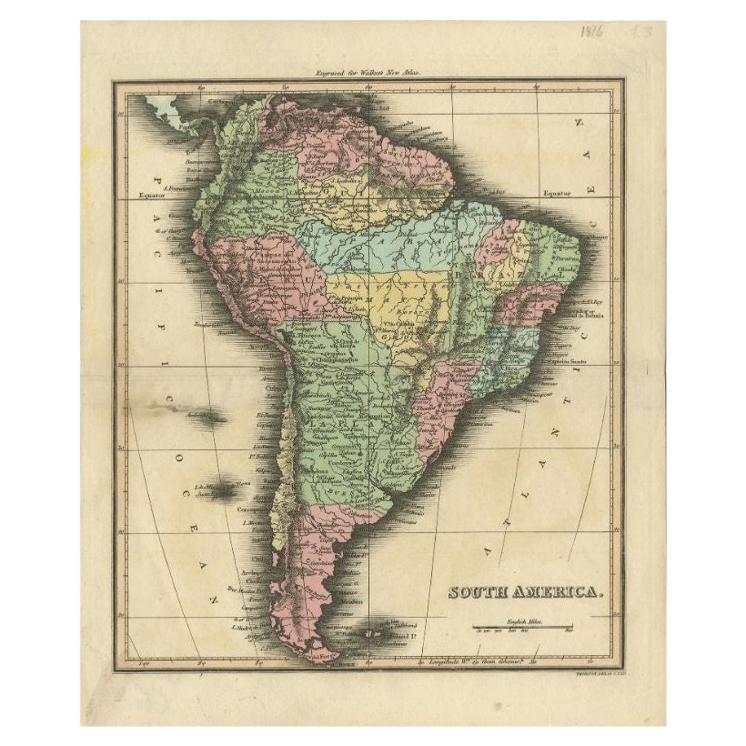
- Antique Map of South America by J. Cook (1775)Located in Langweer, NLAntique map titled 'Kaart van het Zuidlyk Eind van Amerika'. Map of the sourthern part of South America, focusing on Cook's tracks around the Cape Horn and Tierra del Fuego in 1775. ...Category
Antique Late 18th Century Maps
MaterialsPaper
 $518 Sale Price20% Off
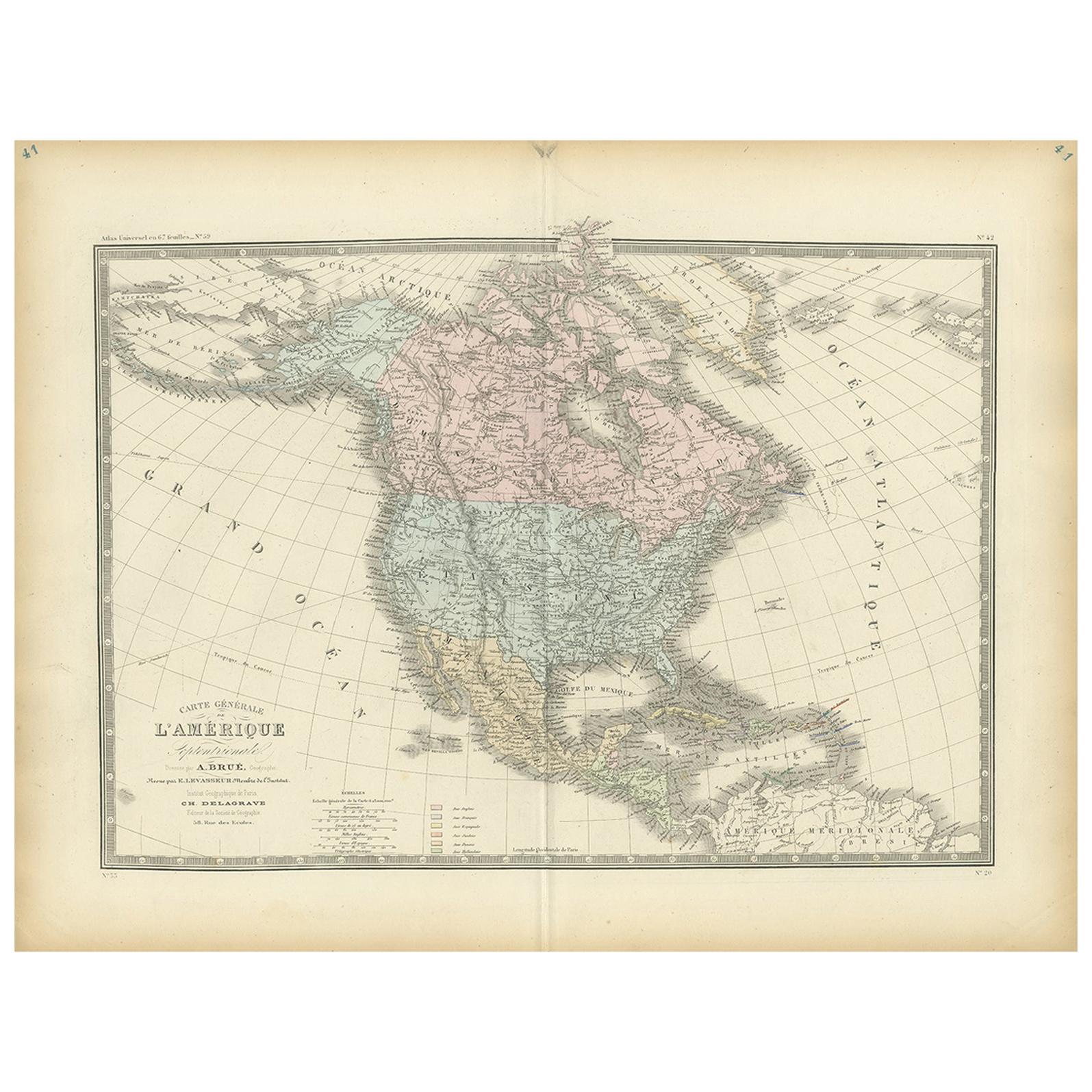
 - Antique Map of North America by Johnson, '1872'Located in Langweer, NLAntique map titled 'Johnson's North America'. Original map of North America, with an inset map of the Hawaiian group or Sandwich Islands. This map originates from 'Johnson's New Illu...Category
Antique Late 19th Century Maps
MaterialsPaper
 $351 Sale Price20% Off
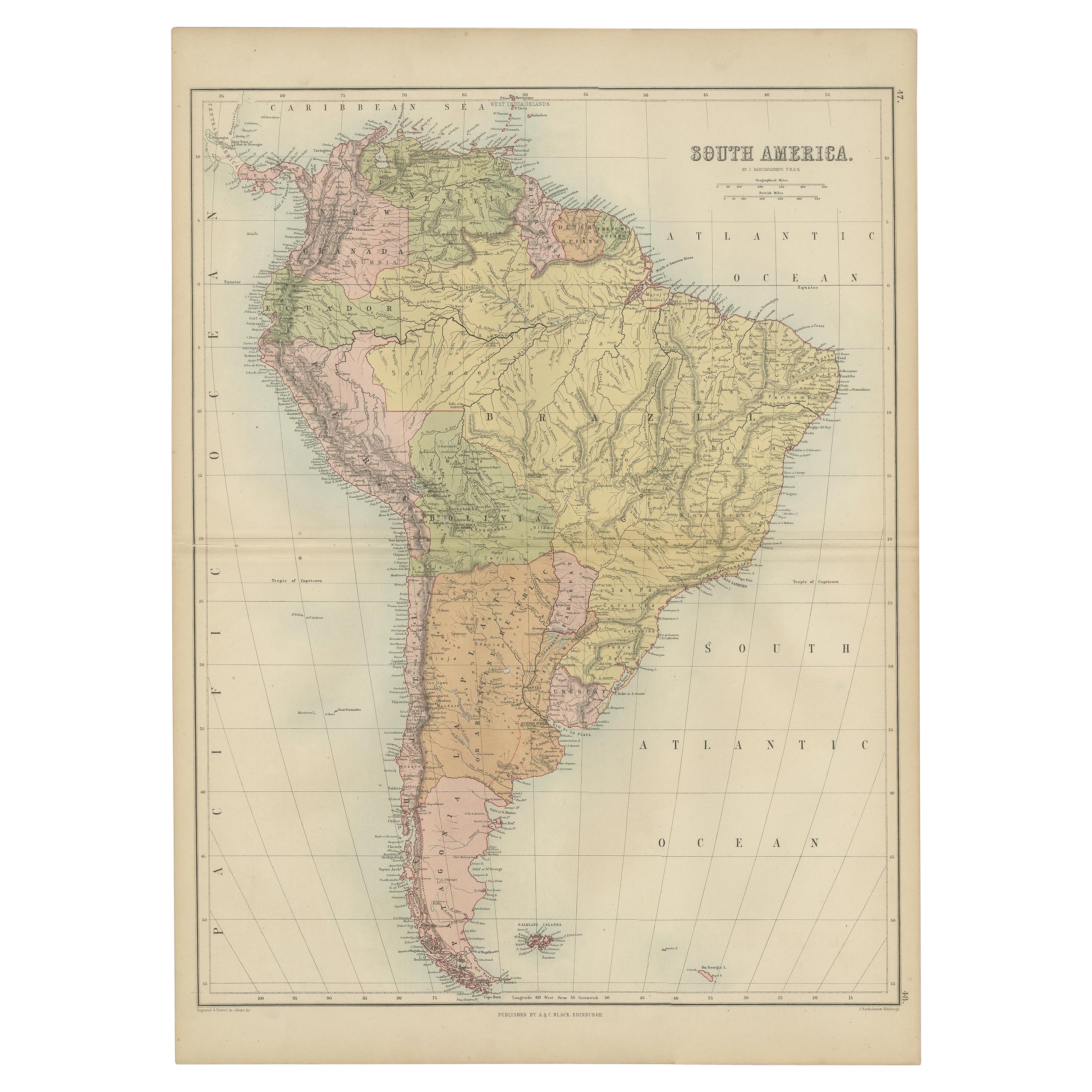
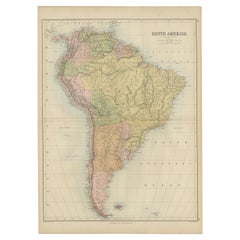
 - Antique Map of South America by A & C. Black, 1870Located in Langweer, NLAntique map titled 'South America'. Original antique map of Map of South America. This map originates from ‘Black's General Atlas of The World’. Published by A & C. Black, 1870.Category
Antique Late 19th Century Maps
MaterialsPaper
You May Also Like
- Original Antique Map of The United States of America, circa 1890Located in St Annes, LancashireGreat map of the USA By The Stanford's Geographical Establishment Original colour Unframed.Category
Antique 1890s English Victorian Maps
MaterialsPaper
- Original Antique Map of North America. C.1780Located in St Annes, LancashireGreat map of North America Copper-plate engraving Published C.1780 Two small worm holes to right side of map and crease top right corner Unframed.Category
Antique Early 1800s English Georgian Maps
MaterialsPaper
- Original Antique Map of South America. C.1780Located in St Annes, LancashireGreat map of South America Copper-plate engraving Published C.1780 Two small worm holes to left side of map Unframed.Category
Antique Early 1800s English Georgian Maps
MaterialsPaper

- Large Antique 1859 Map of North AmericaLocated in Sag Harbor, NYThis Map was made by Augustus Mitchell in 1859 It is in amazing condition for being 163 years old. This price is for the rolled up easy to ship version of this piece. I will be Frami...Category
Antique Mid-19th Century American Maps
MaterialsCanvas, Paper

- 1864 Map of North America, Antique Hand-Colored Map, by Adolphe Hippolyte DufourLocated in Colorado Springs, COOffered is a map of North America entitled Amerique du Nord from 1864. This rare, separately published wall map was produced by Adolphe Hippolyte Dufour. This map includes vibrant an...Category
Antique 1860s French Maps
MaterialsPaper
- Original Antique Map of South America by Thomas Clerk, 1817Located in St Annes, LancashireGreat map of South America Copper-plate engraving Drawn and engraved by Thomas Clerk, Edinburgh. Published by Mackenzie And Dent, 1817 Unframed.Category
Antique 1810s English Maps
MaterialsPaper


