Items Similar to Antique Map of European Trade in Asia by Pluche, 1742


Want more images or videos?
Request additional images or videos from the seller
1 of 6
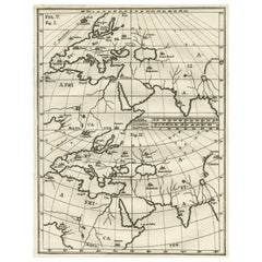
Antique Map of European Trade in Asia by Pluche, 1742
About the Item
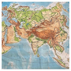
Map pag. 444: 'Le commerce des Europeens en Asie.' (The commerce / trade of the Europeans in Asia). This original old antique print / plate originates from: 'Le spectacle de la nature ou entretiens sur les particularites de l'histoire naturelle.', by Noel Antoine Pluche and published in Paris by The Widow Estienne in 1742.
Artists and Engravers: Noel-Antoine Pluche (1688 - 1761), known as the abbe Pluche, was a French priest. He is now known for his Spectacle de la nature, a most popular work of natural history. This plate engraved by Bourgoin.
Condition: Good. General age related toning. Please study image carefully.
Date: 1742
Overall size: 17 x 16 cm.
Image size: 14.5 x 14 cm.
- Dimensions:Height: 6.3 in (16 cm)Width: 6.7 in (17 cm)Depth: 0 in (0.01 mm)
- Materials and Techniques:
- Period:
- Date of Manufacture:1742
- Condition:
- Seller Location:Langweer, NL
- Reference Number:
About the Seller
5.0
Platinum Seller
These expertly vetted sellers are 1stDibs' most experienced sellers and are rated highest by our customers.
Established in 2009
1stDibs seller since 2017
1,916 sales on 1stDibs
Typical response time: <1 hour
- ShippingRetrieving quote...Ships From: Langweer, Netherlands
- Return PolicyA return for this item may be initiated within 14 days of delivery.
More From This SellerView All
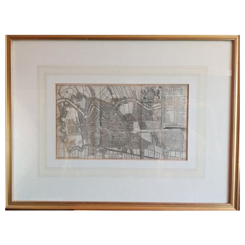
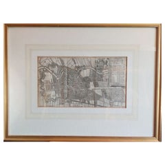
- Antique Map of the City of Haarlem by Tirion, 1742By Isaak TirionLocated in Langweer, NLAntique map titled 'Grondtekening van Haarlem (..)'. Original antique map of the city of Haarlem, the Netherlands. Published by I. Tirion, 1742. Artists and Engravers: Isaak Tirio...Category
Antique 18th Century Maps
MaterialsPaper
- Antique Map of Asia by with an Inset Map of Turkey in Asia, 1868Located in Langweer, NLAntique map Asia titled 'Carte Politique et Ethnographique d'Asie'. Old map of Asia with an inset map of Turkey in Asia. Includes descriptive text box...Category
Antique 19th Century Maps
MaterialsPaper
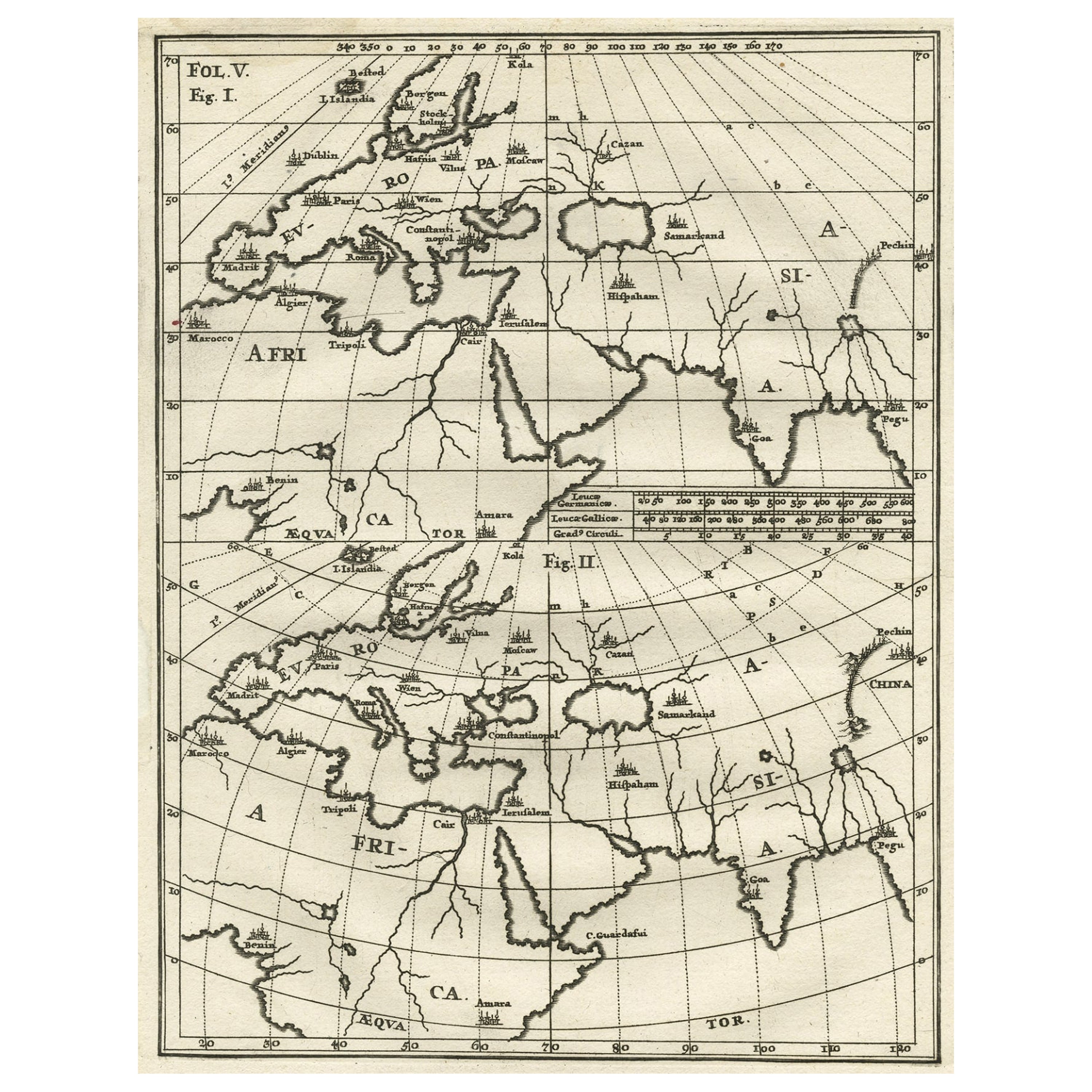
- Intriguing Antique Map of Europe, Asia and Africa by Scherer, c.1703Located in Langweer, NLTwo maps on a single sheet showing Europe, Asia and Africa, each depicting nearly the same area. On close examination there are slight differences. Major cities are located. Printed ...Category
Antique 18th Century Maps
MaterialsPaper
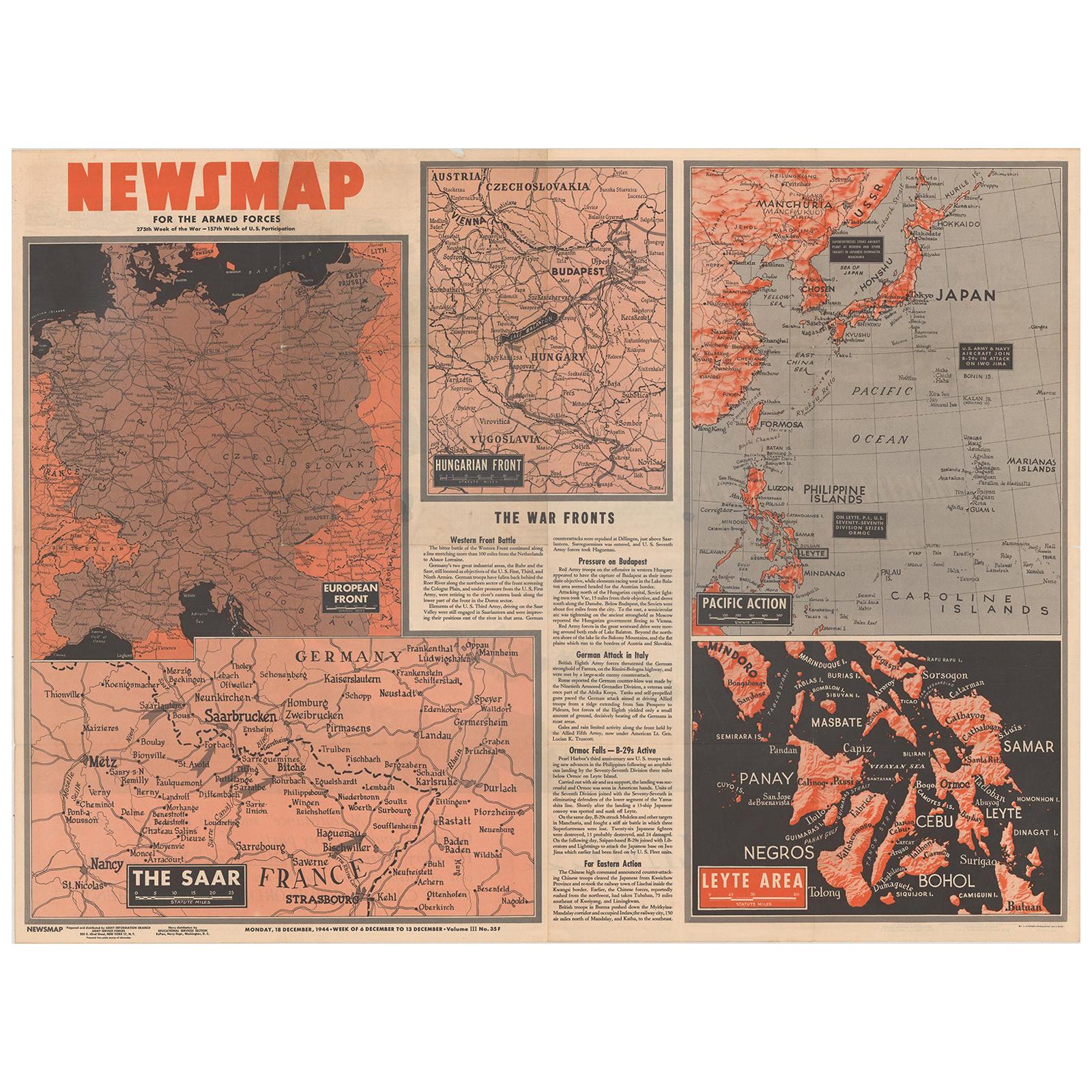
- Antique Map of the War Situation in Europe and Asia, 1944Located in Langweer, NLAntique map titled 'Newsmap for the Armed Forces'. This "newsmap" was issued on Monday, December 18, 1944, and covers the news from December 6-13, 1945 - the 275th week of the war. T...Category
20th Century Maps
MaterialsPaper
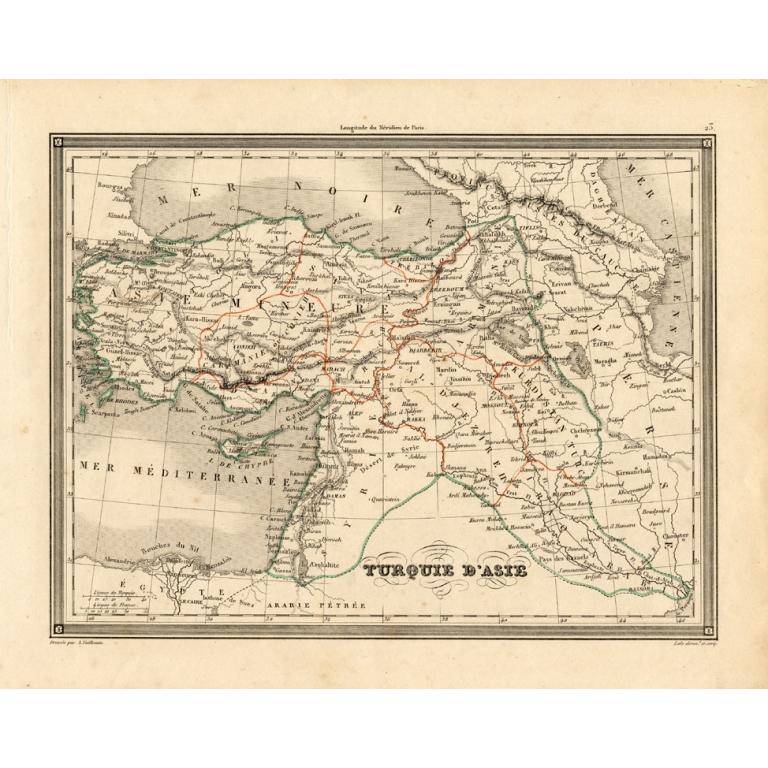
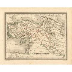
- Antique Map of Turkey in Asia 'Asia Minor' by Vuillemin, 1846Located in Langweer, NLAntique map titled 'Turqui D'Asie'. Map of Turkey in Asia / Asia Minor. This attractive original old antique print / plate / map originates from: 'Atlas Uni...Category
Antique 19th Century Maps
MaterialsPaper
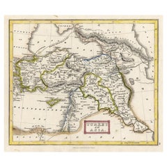
- Antique Map of Turkey in Asia 'Asia Minor', 1841Located in Langweer, NLAntique map titled 'Turkey in Asia'. Original antique map of Asia Minor (Turkey). Source unknown, to be determined. Artists and Engravers: Published by O...Category
Antique 19th Century Maps
MaterialsPaper


You May Also Like
- Huge Europe and Asia Vintage Wall MapLocated in San Diego, CAA huge Europe and Asia vintage wall map, circa 1950s. The map is in fair vintage condition and measures 78"W x 73"H". #2863Category
Mid-20th Century American Maps
MaterialsPaper
- Antique Hand Colored Framed Map of EuropeLocated in West Palm Beach, FLAntique reproduction copied from an edition dated 1595 by Ortelius.Category
Antique Late 19th Century Maps
- Original Antique Map of Europe, Arrowsmith, 1820Located in St Annes, LancashireGreat map of Europe Drawn under the direction of Arrowsmith. Copper-plate engraving. Published by Longman, Hurst, Rees, Orme and Brown, 1820 ...Category
Antique 1820s English Maps
MaterialsPaper
- Large Original Antique Map of Asia by Sidney Hall, 1847Located in St Annes, LancashireGreat map of Asia Drawn and engraved by Sidney Hall Steel engraving Original colour outline Published by A & C Black. 1847 Unframed Free shippingCategory
Antique 1840s Scottish Maps
MaterialsPaper
- Large Original Antique Map of Europe by Sidney Hall, 1847Located in St Annes, LancashireGreat map of Europe Drawn and engraved by Sidney Hall Steel engraving Original colour outline Published by A & C Black. 1847 Unframed Free shipping.Category
Antique 1840s Scottish Maps
MaterialsPaper
- Original Antique Map of South East Asia by Thomas Clerk, 1817Located in St Annes, LancashireGreat map of South East Asia Copper-plate engraving Drawn and engraved by Thomas Clerk, Edinburgh. Published by Mackenzie And Dent, 1817 Unframed.Category
Antique 1810s English Maps
MaterialsPaper


Recently Viewed
View AllMore Ways To Browse
Antique European Plates
Antique Europe Map
Europe Map Antique
Antique Maps Europe Maps
Antique European Maps
Antique European Map
Antique Maps Of Europe
Natural History Curiosities
Antique Map Europe
Antique Map Of Europe
Old Europe Map
Old Maps Of Europe
Antique Asian Maps
French Priest
Old Map Of Paris
Old Map Paris
Antique Paris Map Print
Antique Noel